Elevation of Eden Ln, Enterprise, OR, USA
Location: United States > Oregon > Wallowa County > Enterprise >
Longitude: -117.53082
Latitude: 45.9068807
Elevation: 1005m / 3297feet
Barometric Pressure: 90KPa
Elevation Map:
Satellite Map:
Related Photos:

View of the Fogerty House from the bank of the Grande Ronde River

View from hiking trail along Wenaha River

River views

Upriver view

Grand Ronde River
Redmond Grade Road

John Fogerty Cabin

Wenaha River, Wallowa-Whitman National Forest

bartlett union cemetery

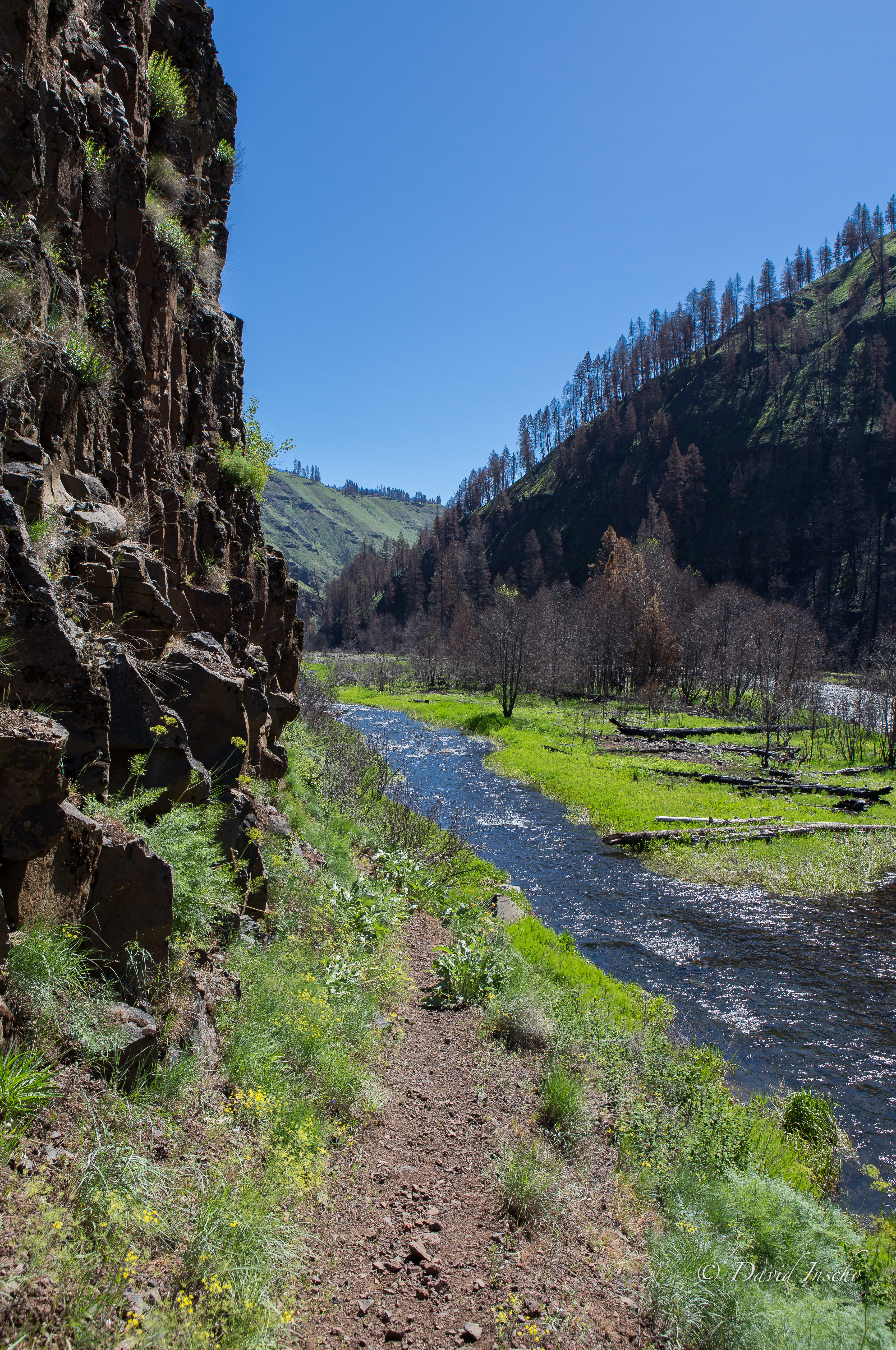
Wenaha River Hike
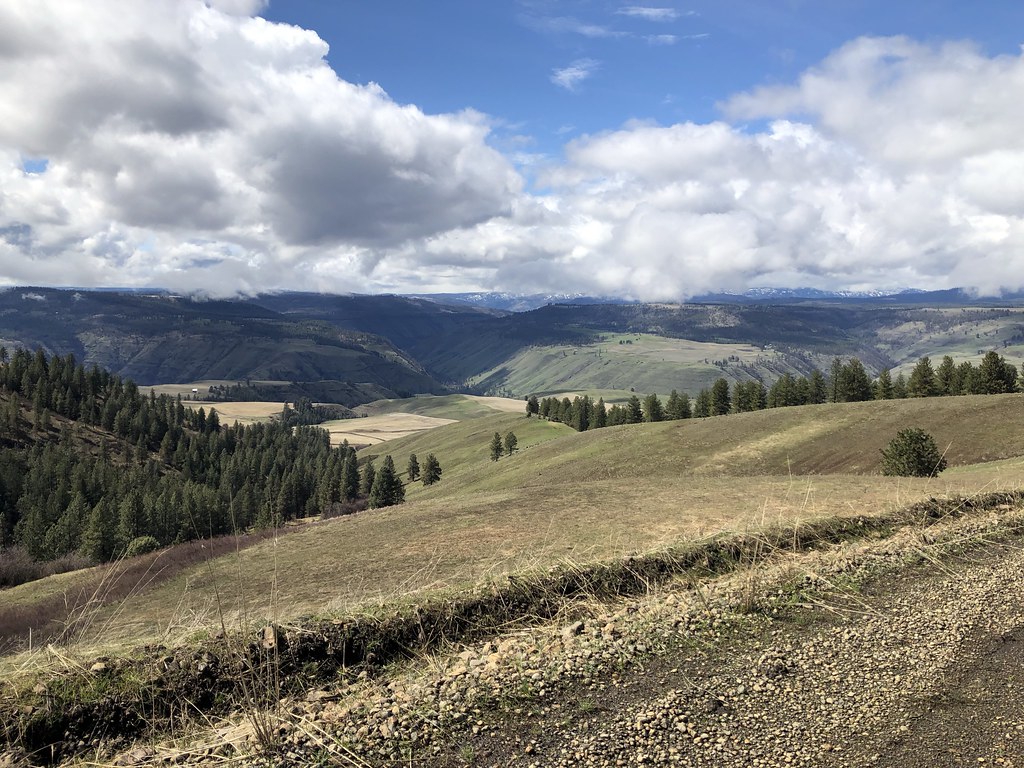
Going with the flow

bartlett union cemetery

Sunshine and redrock

Looking up the Grande Ronde River

Wenaha River

Looking Down the Grande Ronde
Topographic Map of Eden Ln, Enterprise, OR, USA
Find elevation by address:

Places near Eden Ln, Enterprise, OR, USA:
Promise
Troy
Maxville
Flora
Wallowa, OR, USA
Diamond Prairie
Minam
75381 Thompson Rd
Wallowa
74286 Thompson Rd
Minam River
Joseph Creek Road
Asotin County
Lostine
Lostine
Elizabeth St, Lostine, OR, USA
Jubilee Lake
Columbia County
100 Montgomery Ln
Elk Mt Rd, Joseph, OR, USA
Recent Searches:
- Elevation of Côte-des-Neiges, Montreal, QC H4A 3J6, Canada
- Elevation of Bobcat Dr, Helena, MT, USA
- Elevation of Zu den Ihlowbergen, Althüttendorf, Germany
- Elevation of Badaber, Peshawar, Khyber Pakhtunkhwa, Pakistan
- Elevation of SE Heron Loop, Lincoln City, OR, USA
- Elevation of Slanický ostrov, 01 Námestovo, Slovakia
- Elevation of Spaceport America, Co Rd A, Truth or Consequences, NM, USA
- Elevation of Warwick, RI, USA
- Elevation of Fern Rd, Whitmore, CA, USA
- Elevation of 62 Abbey St, Marshfield, MA, USA