Elevation of Michael Dr, Suffolk, VA, USA
Location: United States > Virginia > Suffolk >
Longitude: -76.556224
Latitude: 36.8471819
Elevation: 5m / 16feet
Barometric Pressure: 101KPa
Elevation Map:
Satellite Map:
Related Photos:

the pastel sunset

7.365 - the sun sets on week one

Hit the Road Jack
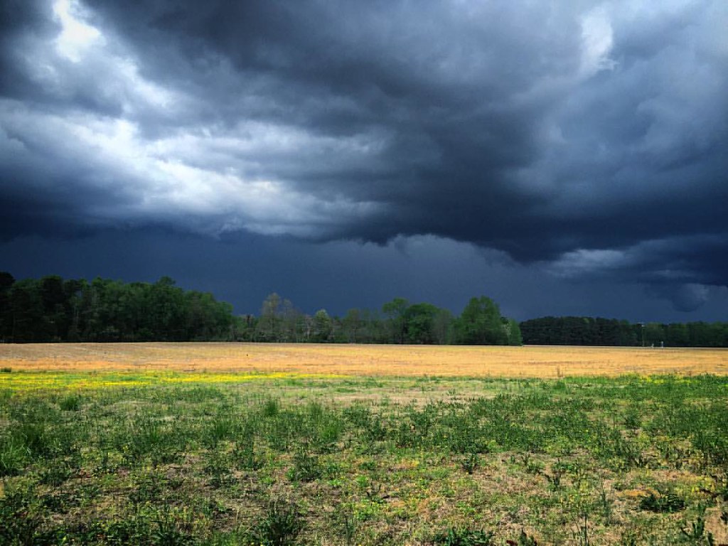
View from a lawnmower. #storm #clouds

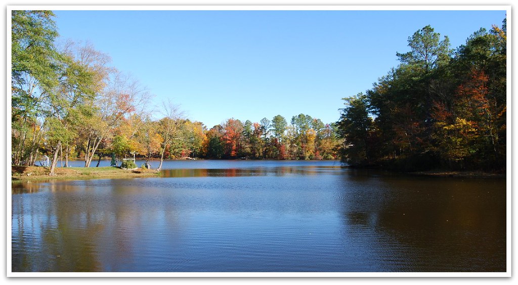
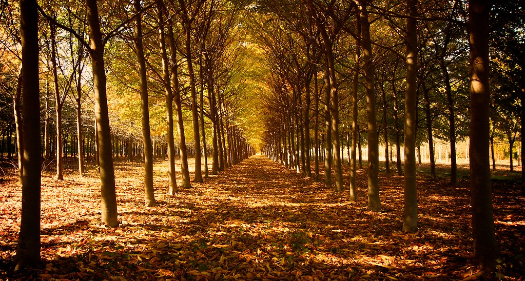
Lake Meade in the Fall
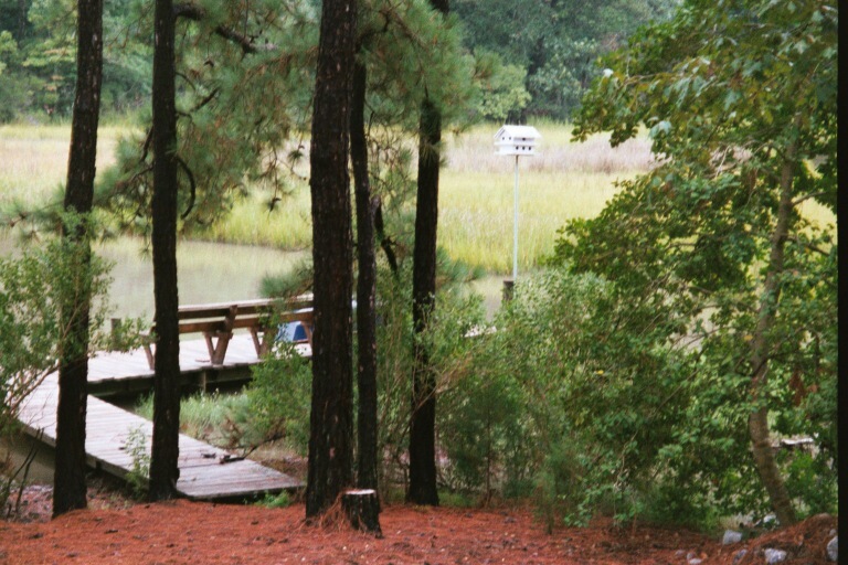
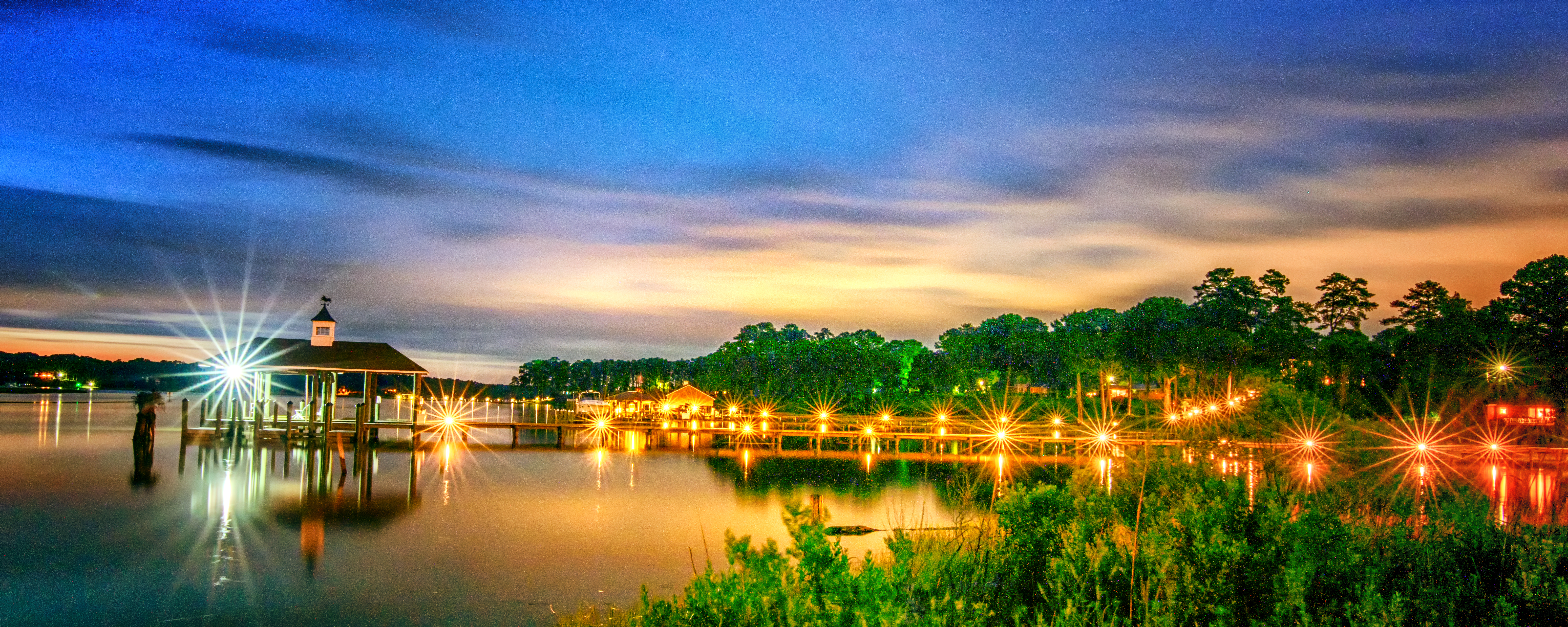
Dock view

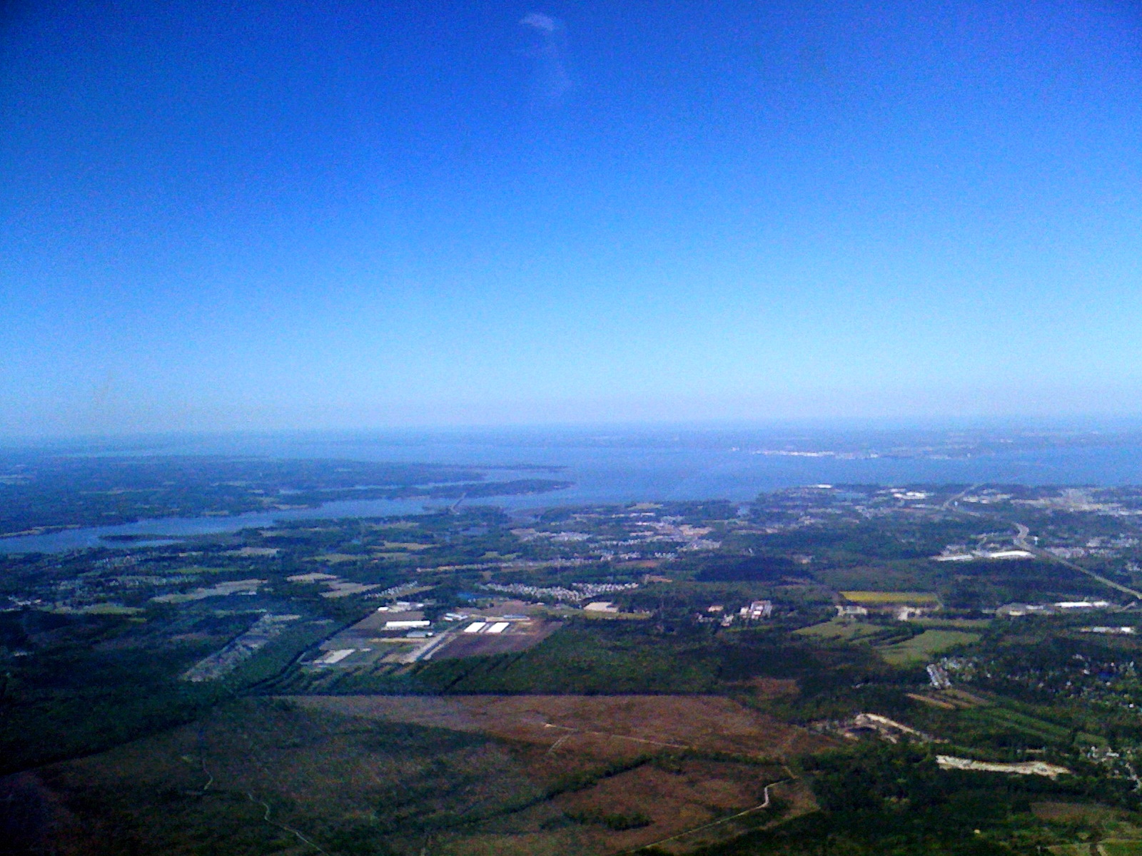
What a view

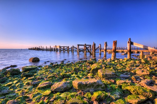
No, Mr. Bond, I expect you to die.
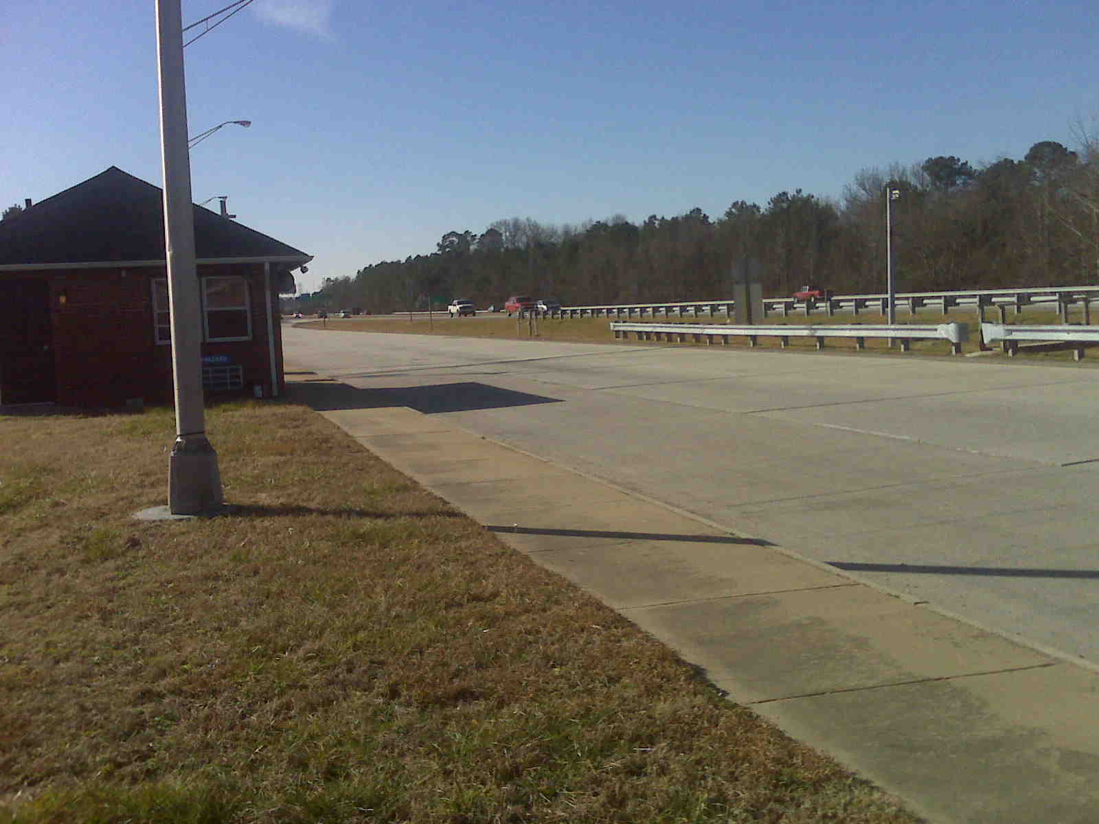
Interstate 664

Swainson's Warbler

2011JEK0826185.jpg

Barred Owl
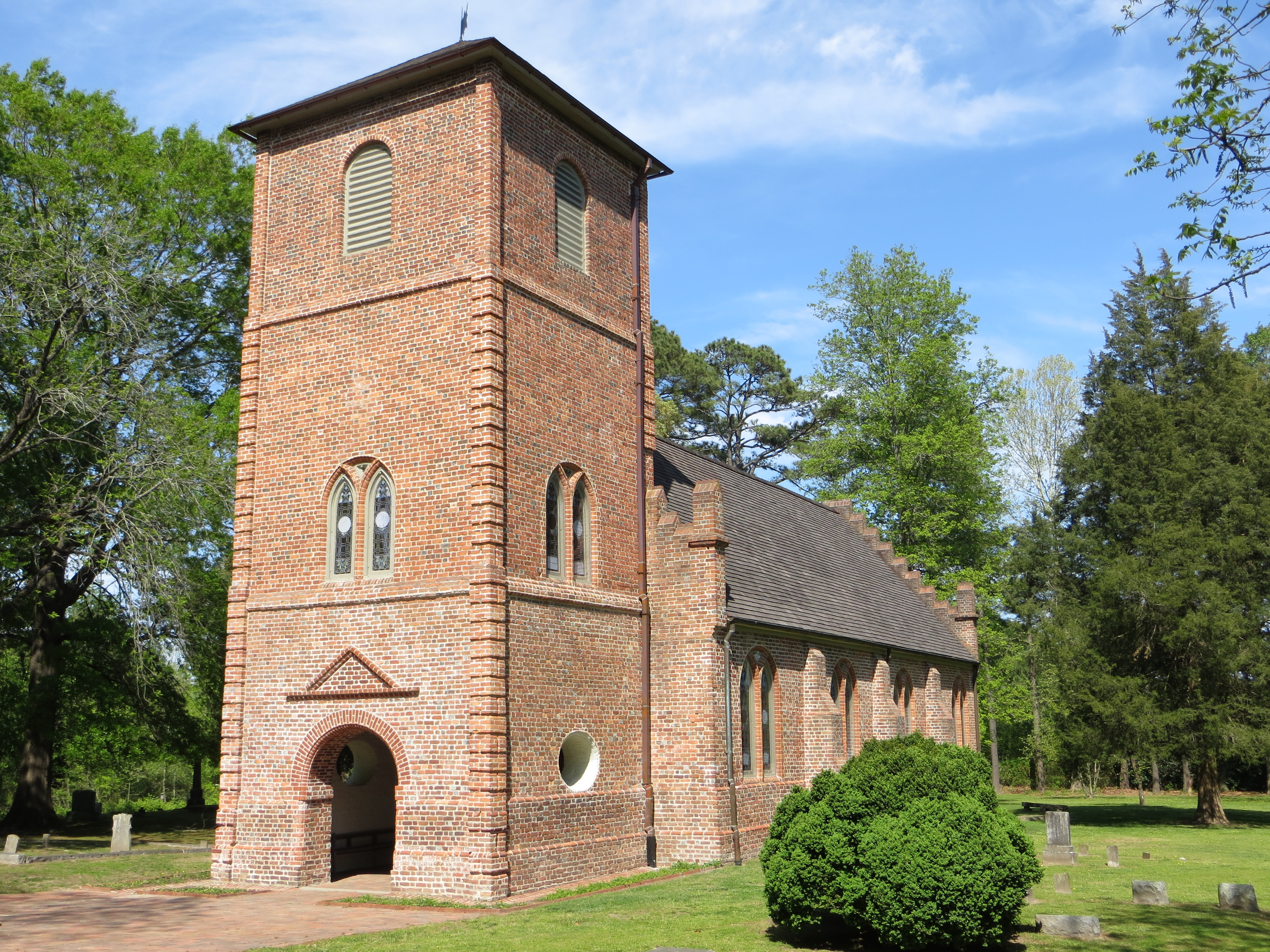
Southwest oblique view, St. Luke's Church, Smithfield

Hall Mirror
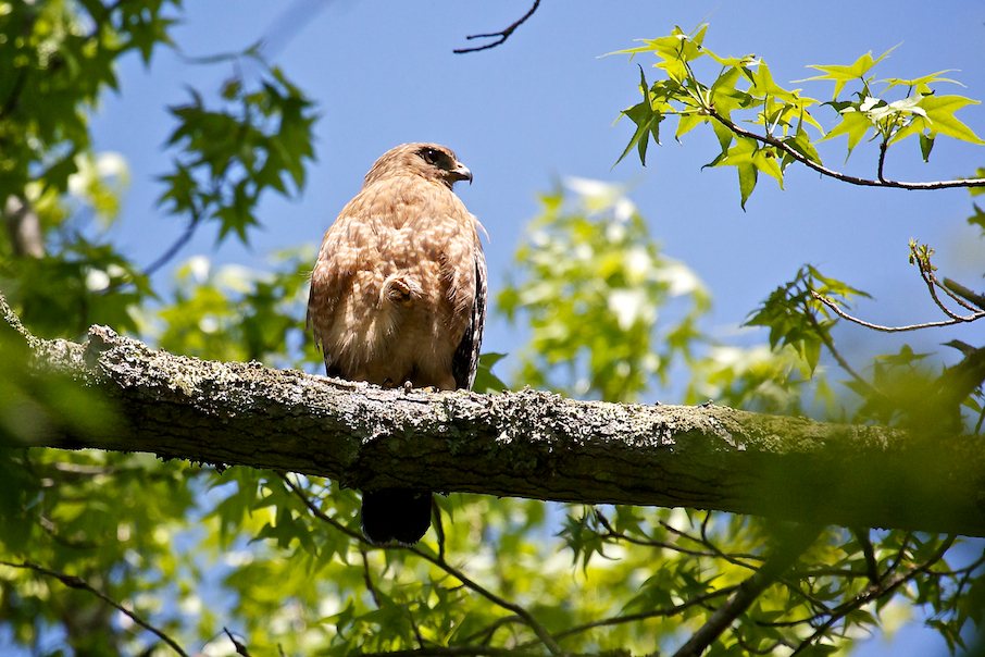
Red-shouldered Hawk

Prairie Warbler

Extreme Cowbell
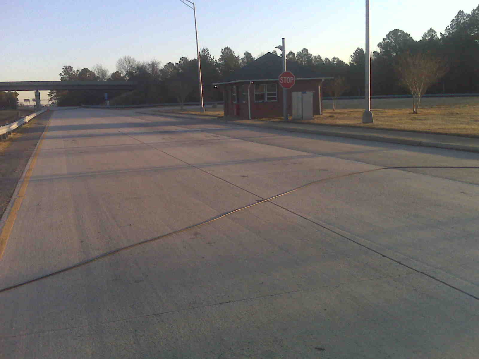
Interstate 664

Interstate 664
Interstate 664
I took a long time to find heaven!

Kings Fork Sunrise

Slipping Away
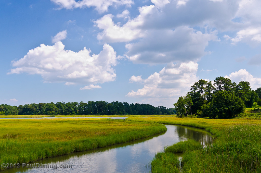
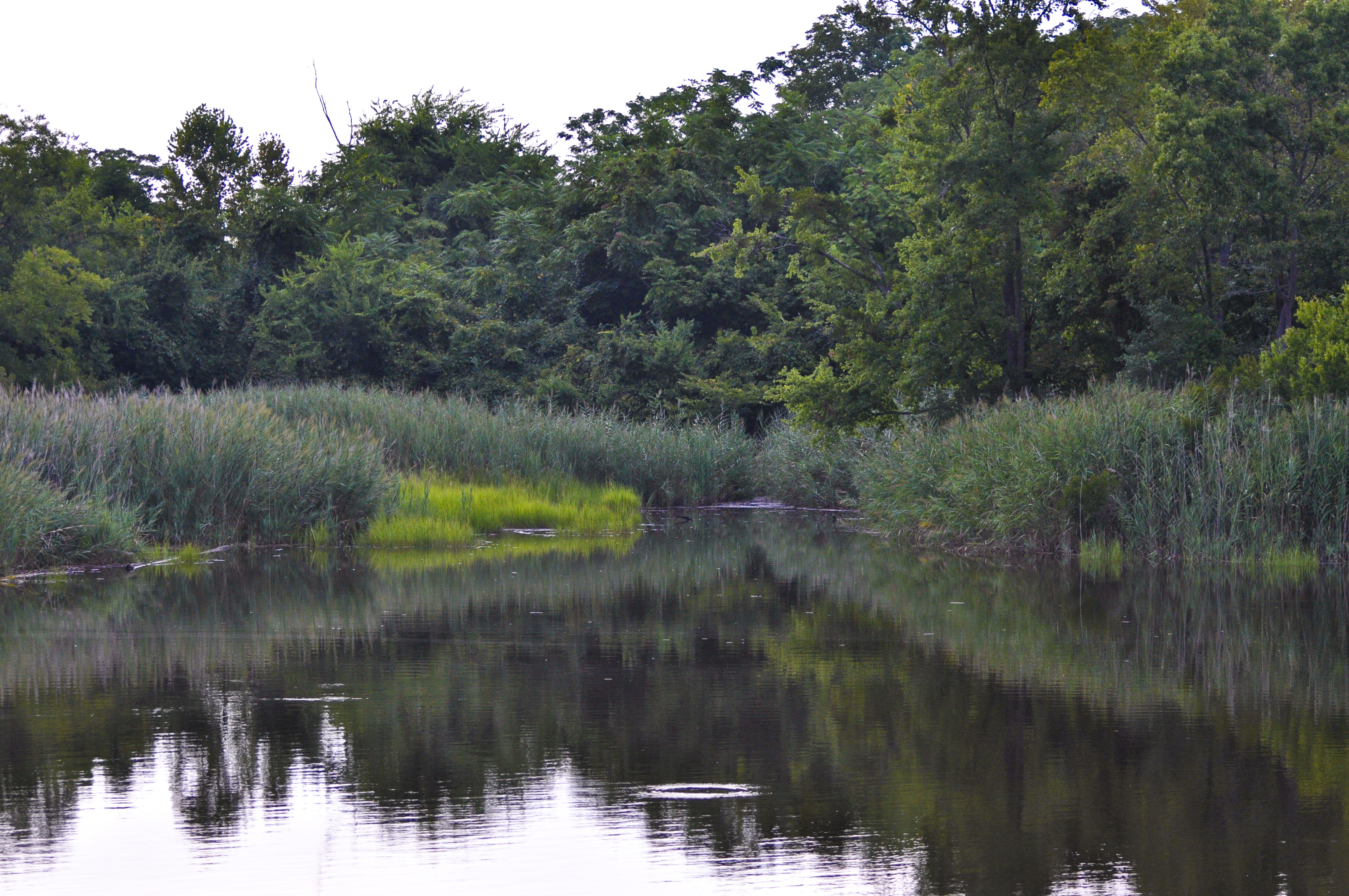
May: Marsh @ Windsor Castle Park - Smithfield, VA
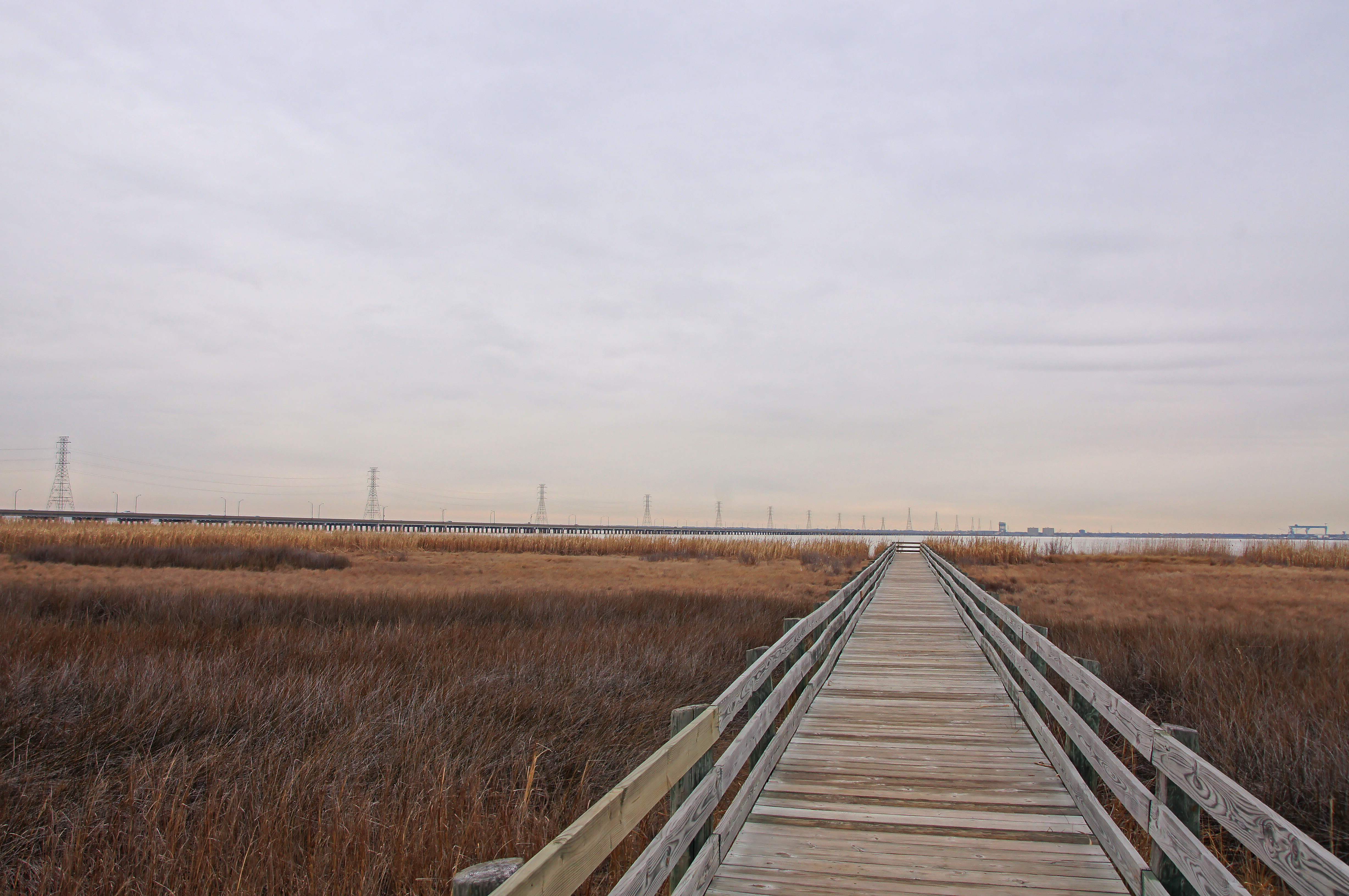
035/365: Friday, February 4, 2011: Boardwalk over marsh toward James River at Ragged Island Wildlife Management Area
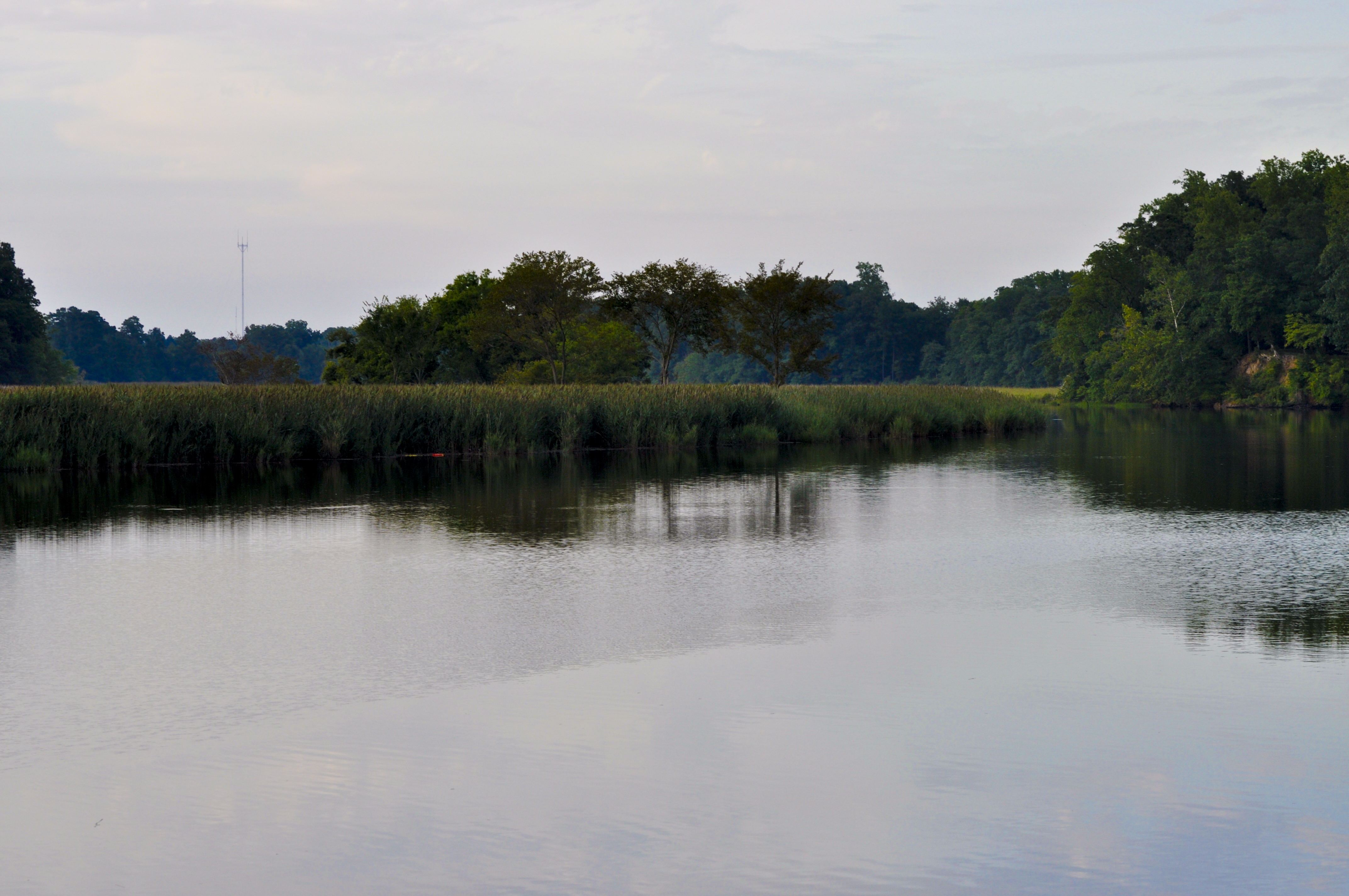
Pagan River (Smithfield,Va)

Reflecting on the Day
Between the Lines
Day 3 of the trip 052

Sandwich show-72

Produce-22
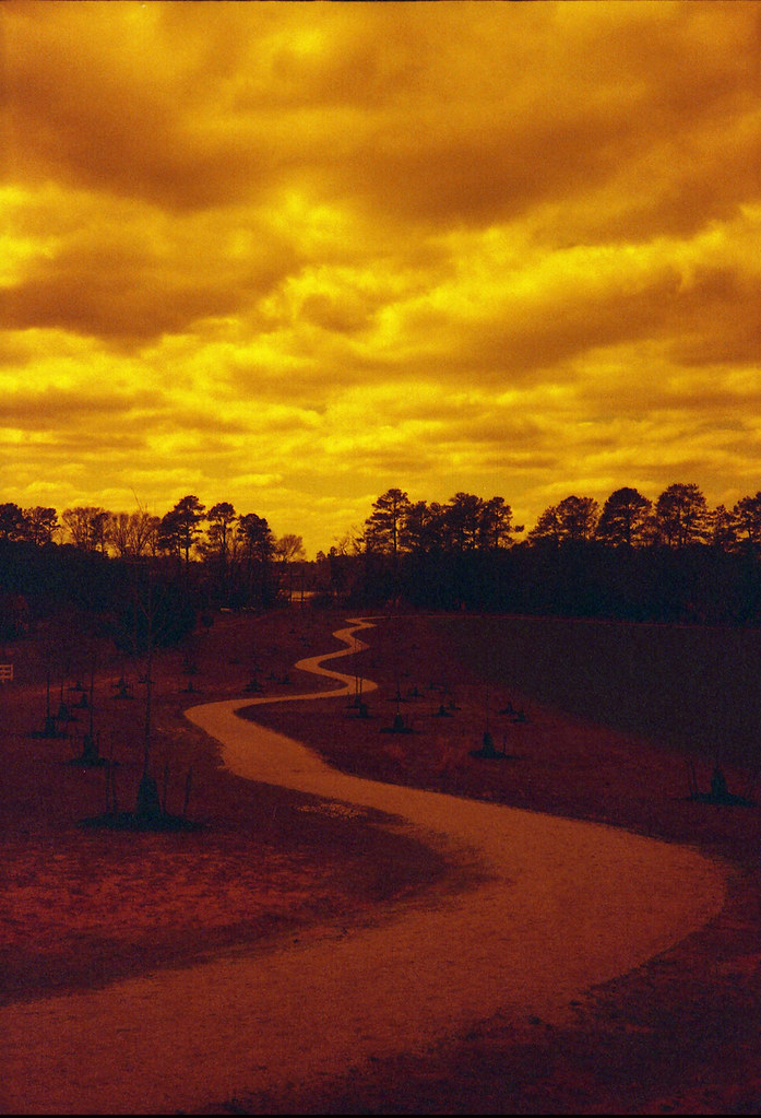
The Path Ahead

Suffolk Sunset
HRDPC Photowalk Smithfield May72017-36

Boats Ashore
Portsmouth River Walk
Old Bay Pier
Portsmouth River Walk

Wheel Barrow
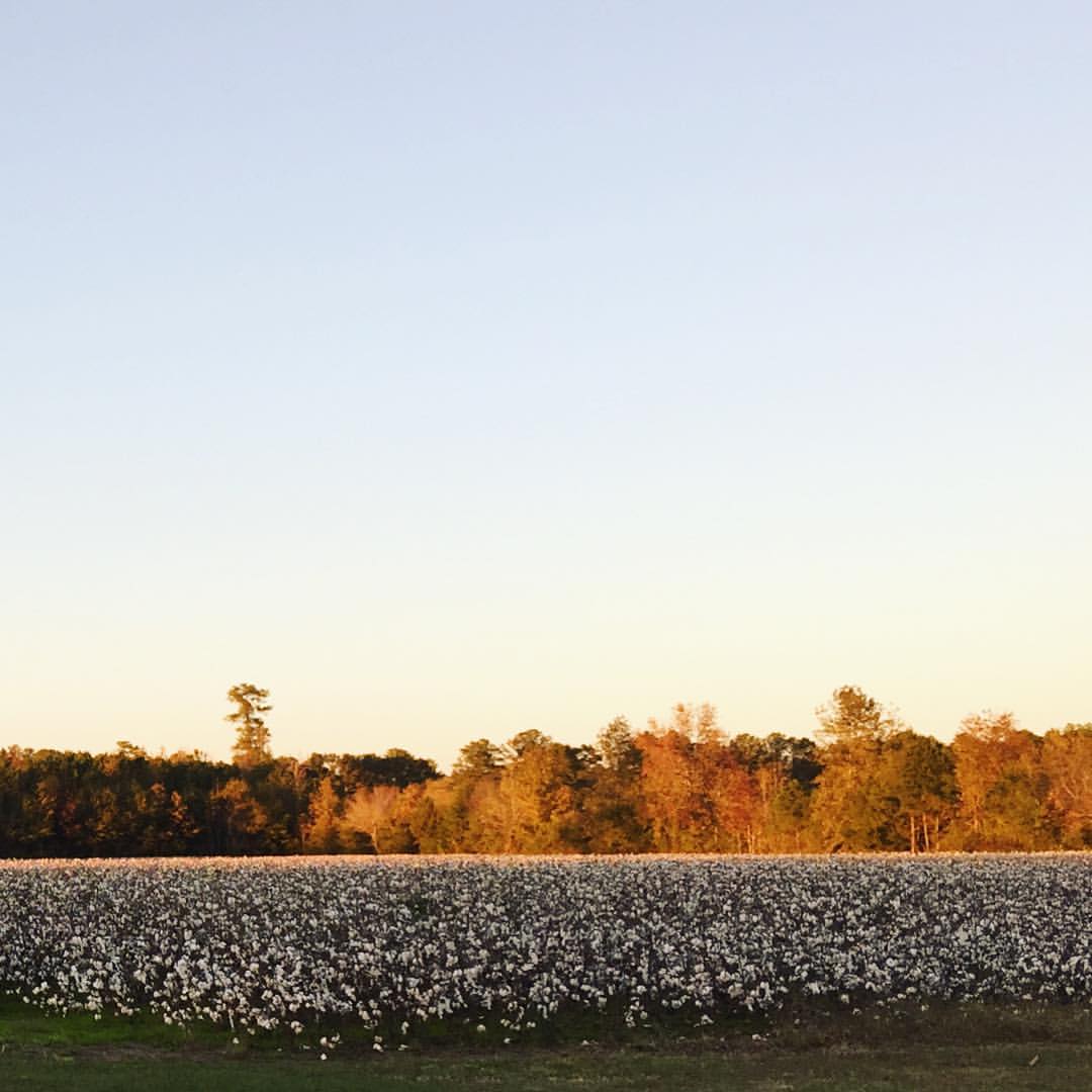
Golden, sunset light on autumn leaves that hover over fields of puffy, white cotton. So thankful we got to spend time with dear friends this weekend.
Topographic Map of Michael Dr, Suffolk, VA, USA
Find elevation by address:

Places near Michael Dr, Suffolk, VA, USA:
1444 Bridge Point Trail
5020 Riverfront Dr
1588 Cherry Grove Rd N
1588 Cherry Grove Rd N
Kendal Way
118 Whimbrel Dr
5128 Harbor Rd
Crittenden Rd, Suffolk, VA, USA
118 Brittany Ln
321 Turnstone Dr
Wimbleton Ct, Suffolk, VA, USA
2861 N Nansemond Dr
20155 Longview Dr
Horseshoe Point Rd, Suffolk, VA, USA
Longview Dr, Windsor, VA, USA
Cherokee Dr, Suffolk, VA, USA
3601 Wonderland Dr
Sherwood Place
Hillpoint Blvd, Suffolk, VA, USA
1633 Holly Point Ln
Recent Searches:
- Elevation of Falling Spring Rd, Clyde, NC, USA
- Elevation of Kingsfield St, Castle Rock, CO, USA
- Elevation of AMELIA CT HSE, VA, USA
- Elevation of Abbey Dr, Virginia Beach, VA, USA
- Elevation of Brooks Lp, Spearfish, SD, USA
- Elevation of Panther Dr, Maggie Valley, NC, USA
- Elevation of Jais St - Wadi Shehah - Ras al Khaimah - United Arab Emirates
- Elevation of Shawnee Avenue, Shawnee Ave, Easton, PA, USA
- Elevation of Scenic Shore Dr, Kingwood Area, TX, USA
- Elevation of W Prive Cir, Delray Beach, FL, USA