Elevation of Crittenden Rd, Suffolk, VA, USA
Location: United States > Virginia > Suffolk >
Longitude: -76.509853
Latitude: 36.881222
Elevation: 6m / 20feet
Barometric Pressure: 101KPa
Elevation Map:
Satellite Map:
Related Photos:

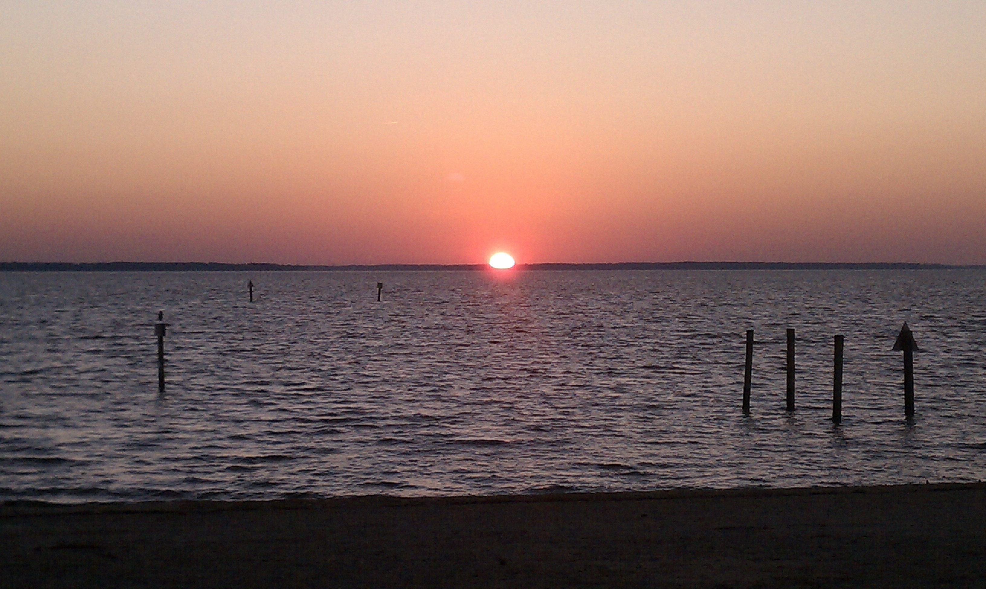
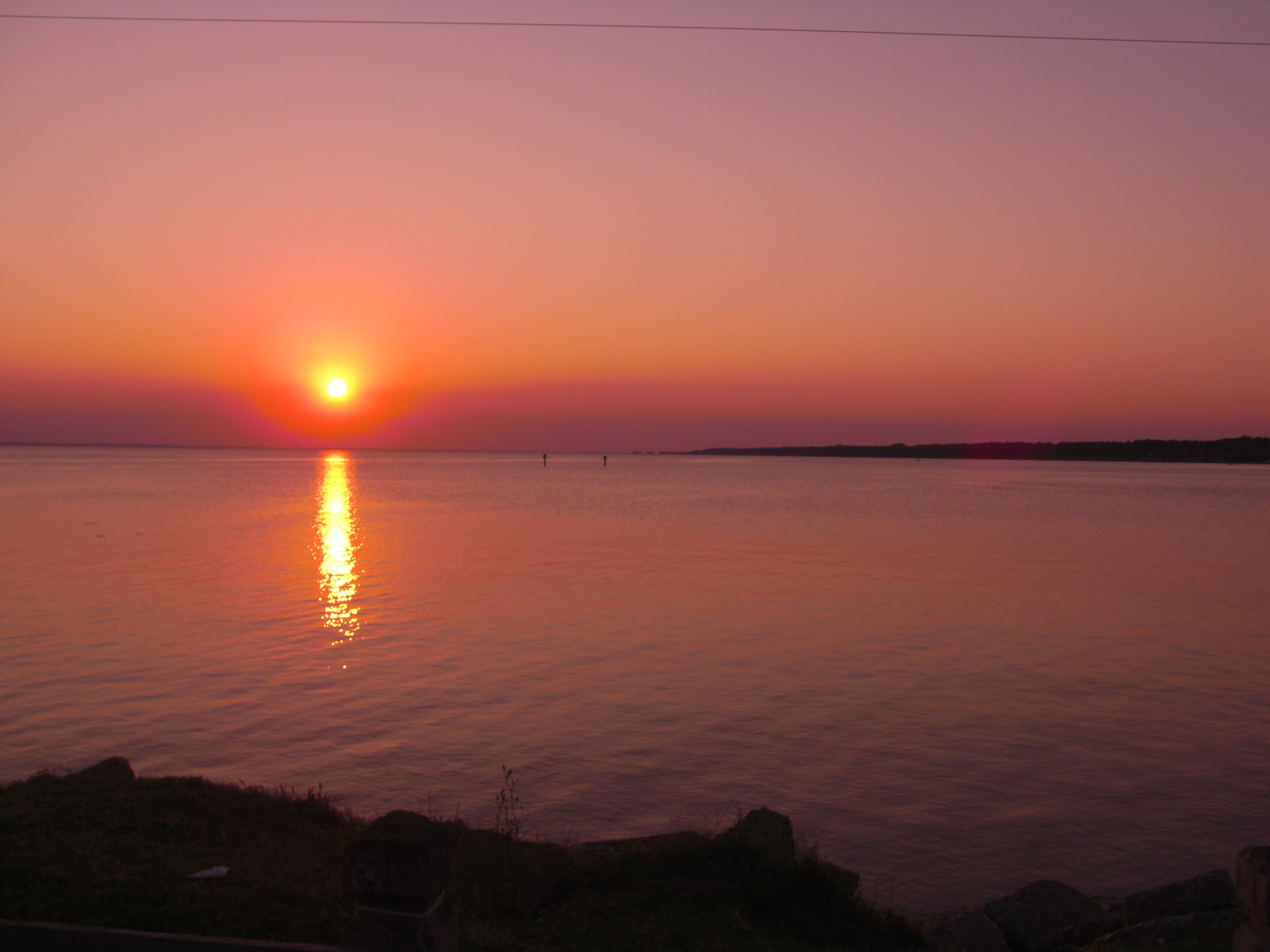
7.365 - the sun sets on week one

Hit the Road Jack

Homemade Pies
Always A Smile

Mad Reflection.......
James River Sunset

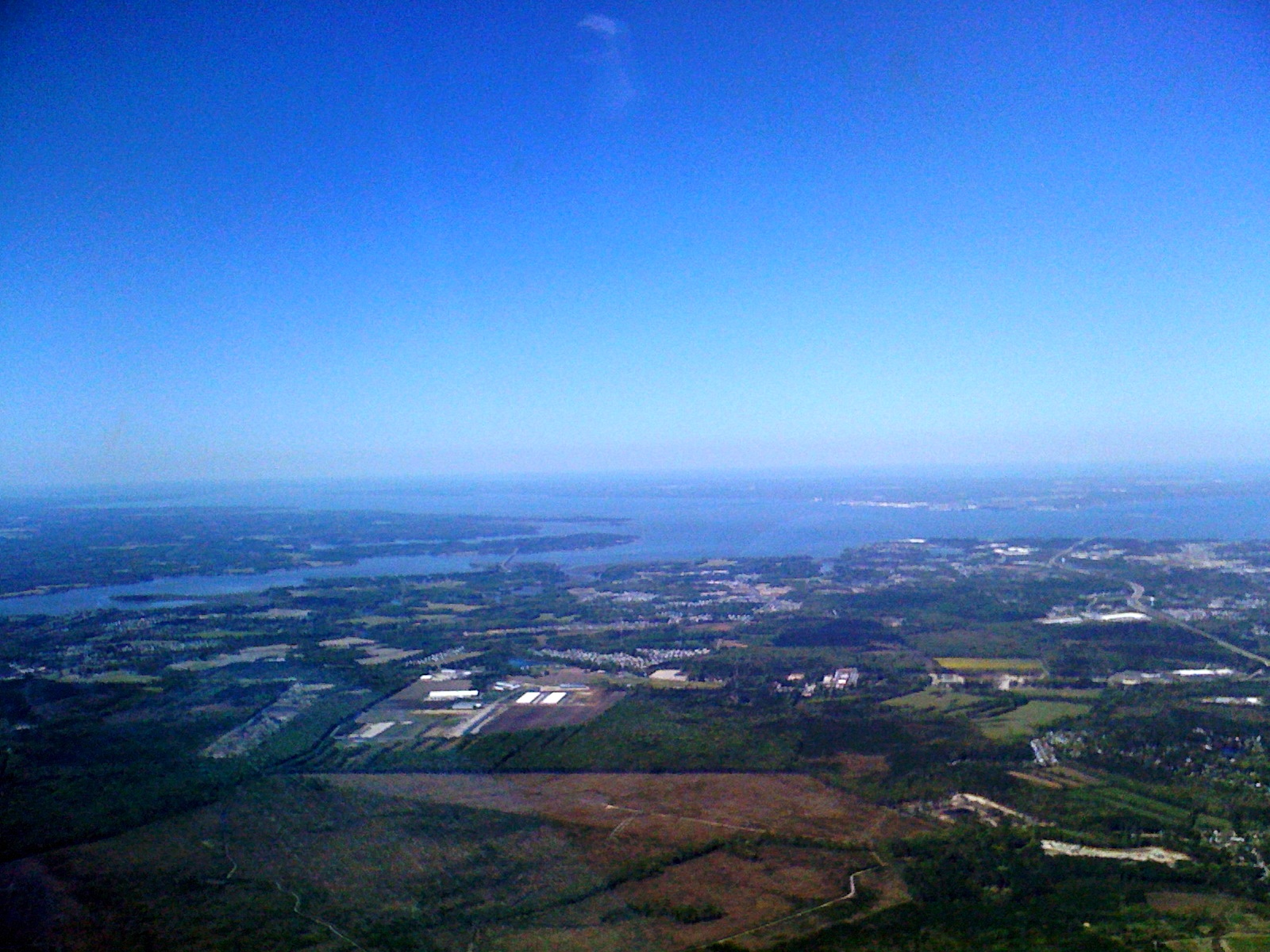
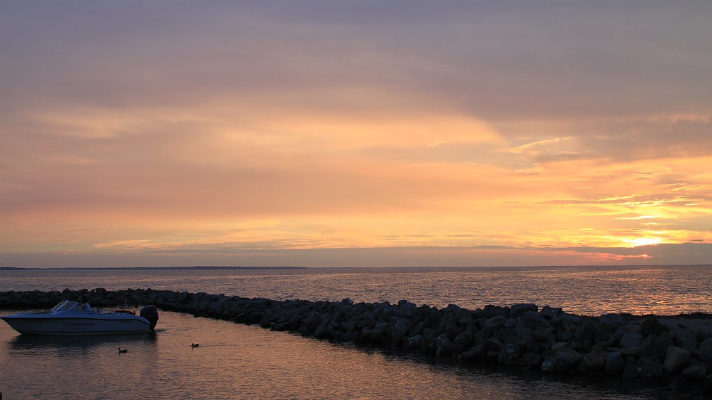
Across The Bay
near Terminal Ave & I- 664
Worldwide Photowalk - Smithfield, Virginia
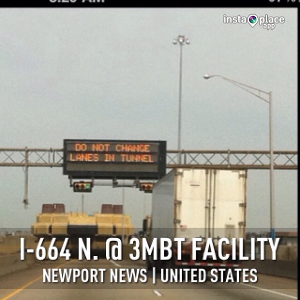
My exact location is just off the picture on the right but when I face the tunnel, this is my view
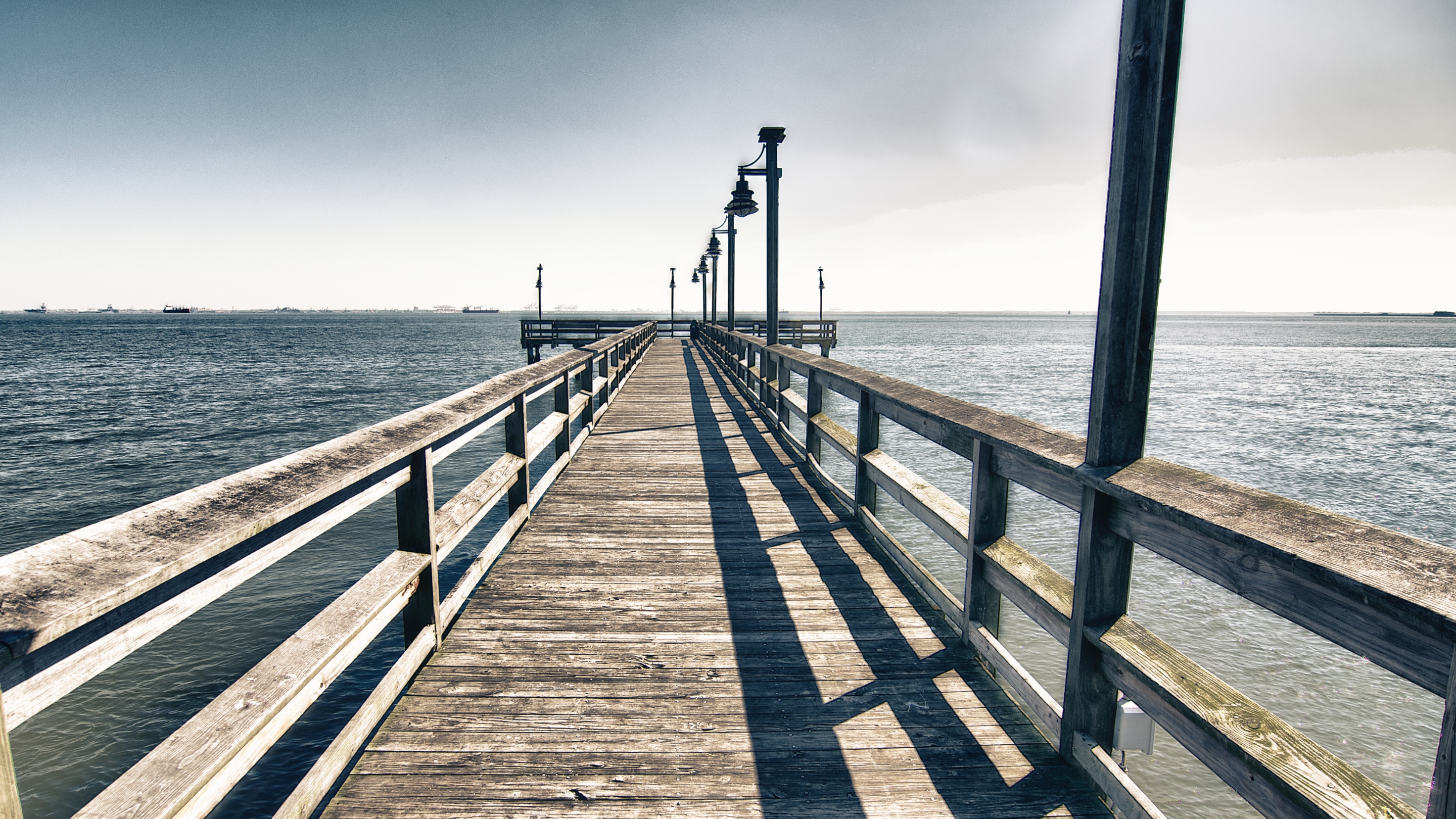
Overlook Park Pier
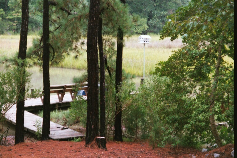
Dock view
Interstate 664

No, Mr. Bond, I expect you to die.
Interstate 664

Nipper and the Queen

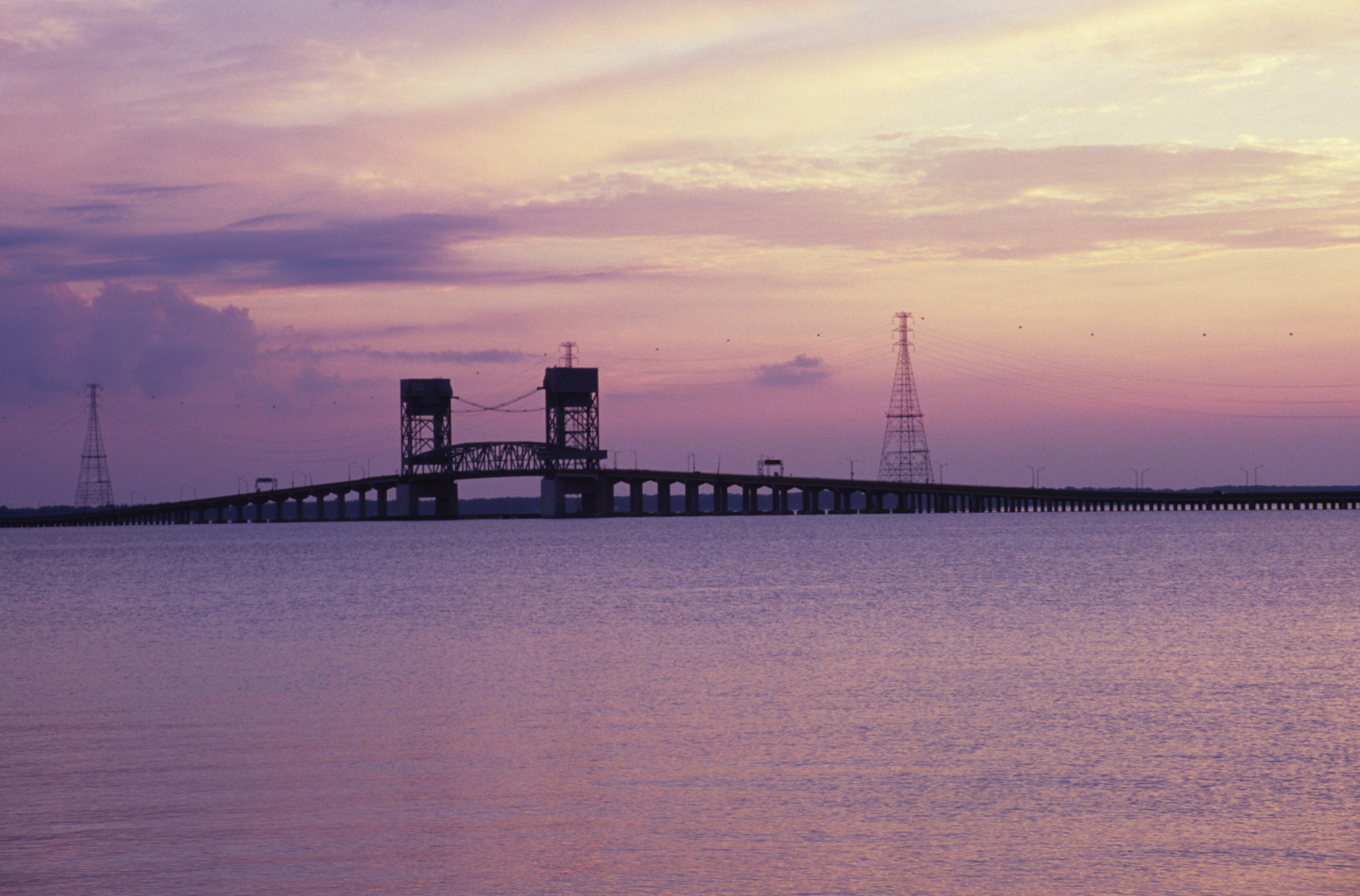
James-River-Bridge-Sunset-02

Coal Dust 4

Coal Dust 1
Overlook Park Birds

The View From Port Norfolk

Reflecting on the Day
Pagan River (Smithfield,Va)
Slipping Away

Sunset over the James River.
Sunset on the James River, Newport News, VA
Day 3 of the trip 052

Sandwich show-72

Produce-22

Coucher de soleil, Newport News
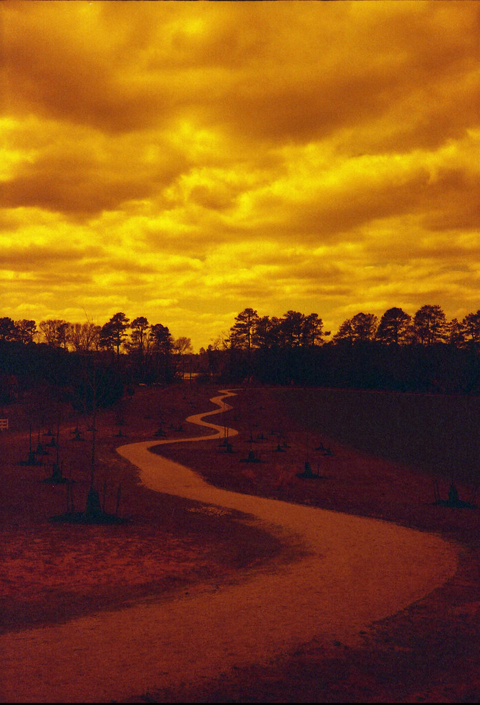
The Path Ahead

Suffolk Sunset

Huntington Park Beach
James-River-Bridge-Sunset-01
Coucher de soleil, Newport News
163/365 - Huntington Beach

Monitor-Merrimac Overlook Park

Huntington Beach Sunset
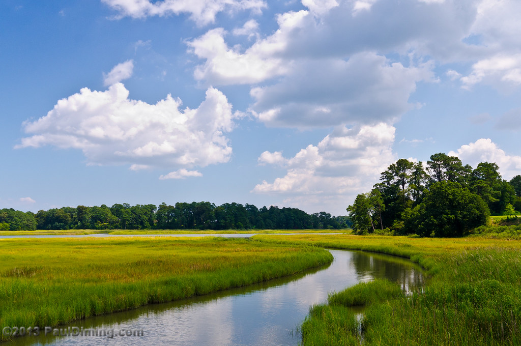
May: Marsh @ Windsor Castle Park - Smithfield, VA

Newport News Sunset
Topographic Map of Crittenden Rd, Suffolk, VA, USA
Find elevation by address:

Places near Crittenden Rd, Suffolk, VA, USA:
Wimbleton Ct, Suffolk, VA, USA
2861 N Nansemond Dr
116 Settlers Landing Rd
1633 Holly Point Ln
5128 Harbor Rd
Horseshoe Point Rd, Suffolk, VA, USA
3617 Blue Stem Ct
118 Whimbrel Dr
321 Turnstone Dr
Kendal Way
Hazelcroft Dr, Suffolk, VA, USA
118 Brittany Ln
1444 Bridge Point Trail
3013 Carlisle Ct
3015 Carlisle Ct
5089 Kelso St
6049 Knotts Creek Ln
1588 Cherry Grove Rd N
1588 Cherry Grove Rd N
4029 Michael Dr
Recent Searches:
- Elevation of Congressional Dr, Stevensville, MD, USA
- Elevation of Bellview Rd, McLean, VA, USA
- Elevation of Stage Island Rd, Chatham, MA, USA
- Elevation of Shibuya Scramble Crossing, 21 Udagawacho, Shibuya City, Tokyo -, Japan
- Elevation of Jadagoniai, Kaunas District Municipality, Lithuania
- Elevation of Pagonija rock, Kranto 7-oji g. 8"N, Kaunas, Lithuania
- Elevation of Co Rd 87, Jamestown, CO, USA
- Elevation of Tenjo, Cundinamarca, Colombia
- Elevation of Côte-des-Neiges, Montreal, QC H4A 3J6, Canada
- Elevation of Bobcat Dr, Helena, MT, USA