Elevation of Wonderland Dr, Suffolk, VA, USA
Location: United States > Virginia > Suffolk >
Longitude: -76.505872
Latitude: 36.798664
Elevation: 6m / 20feet
Barometric Pressure: 101KPa
Elevation Map:
Satellite Map:
Related Photos:

the pastel sunset

7.365 - the sun sets on week one

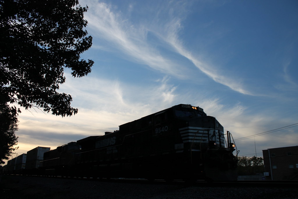
Hit the Road Jack
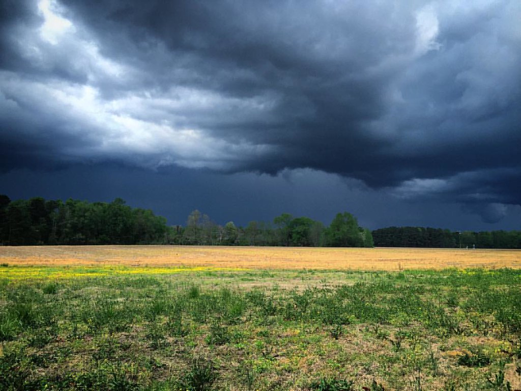
View from a lawnmower. #storm #clouds

Homemade Pies

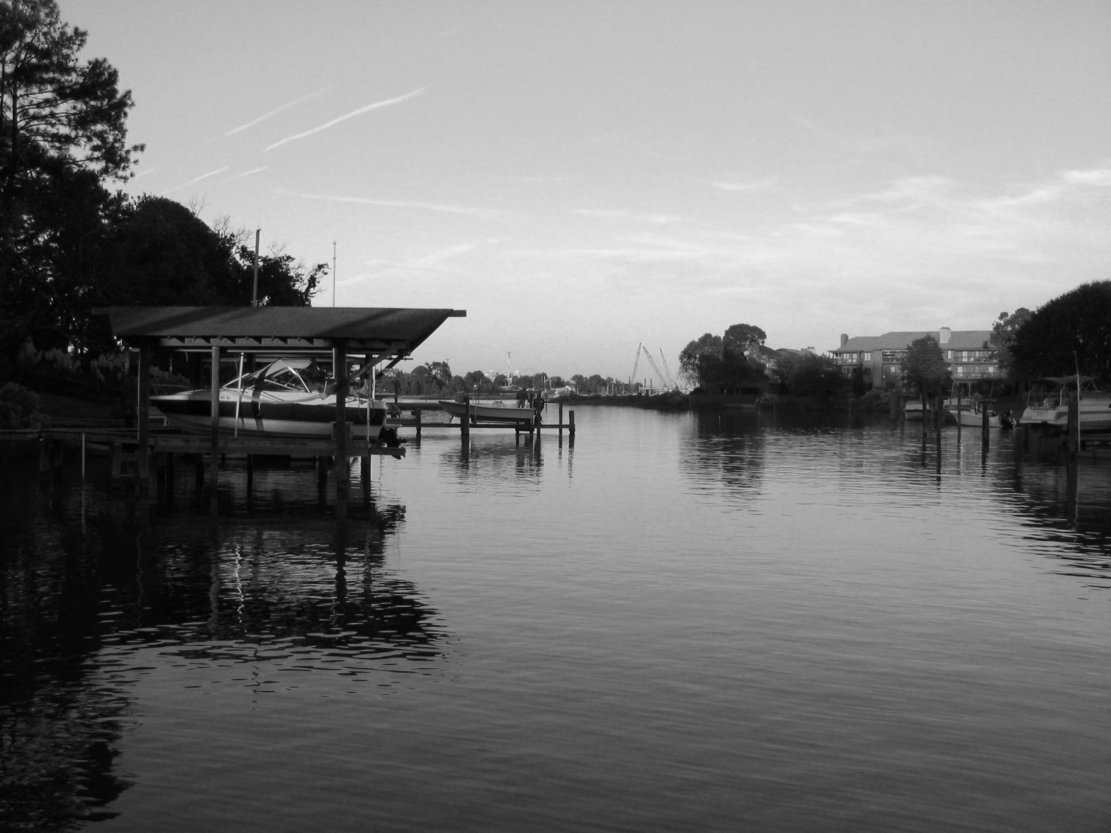
Mad Reflection.......

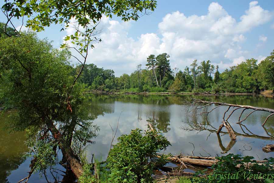
View from Lake Cohoon Boat Ramp

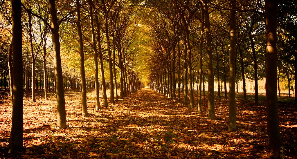
Lake Meade in the Fall
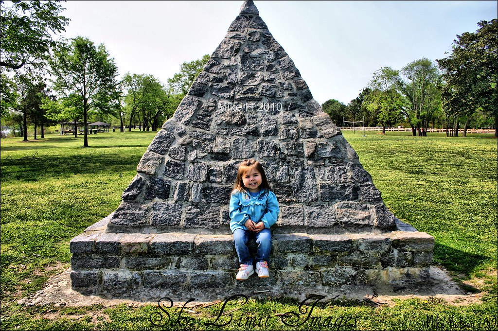
Always A Smile
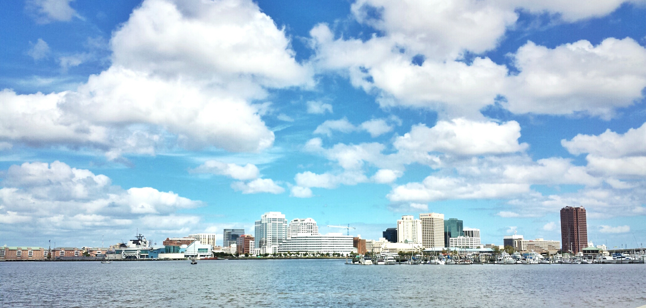
Downtown Norfolk, Va.

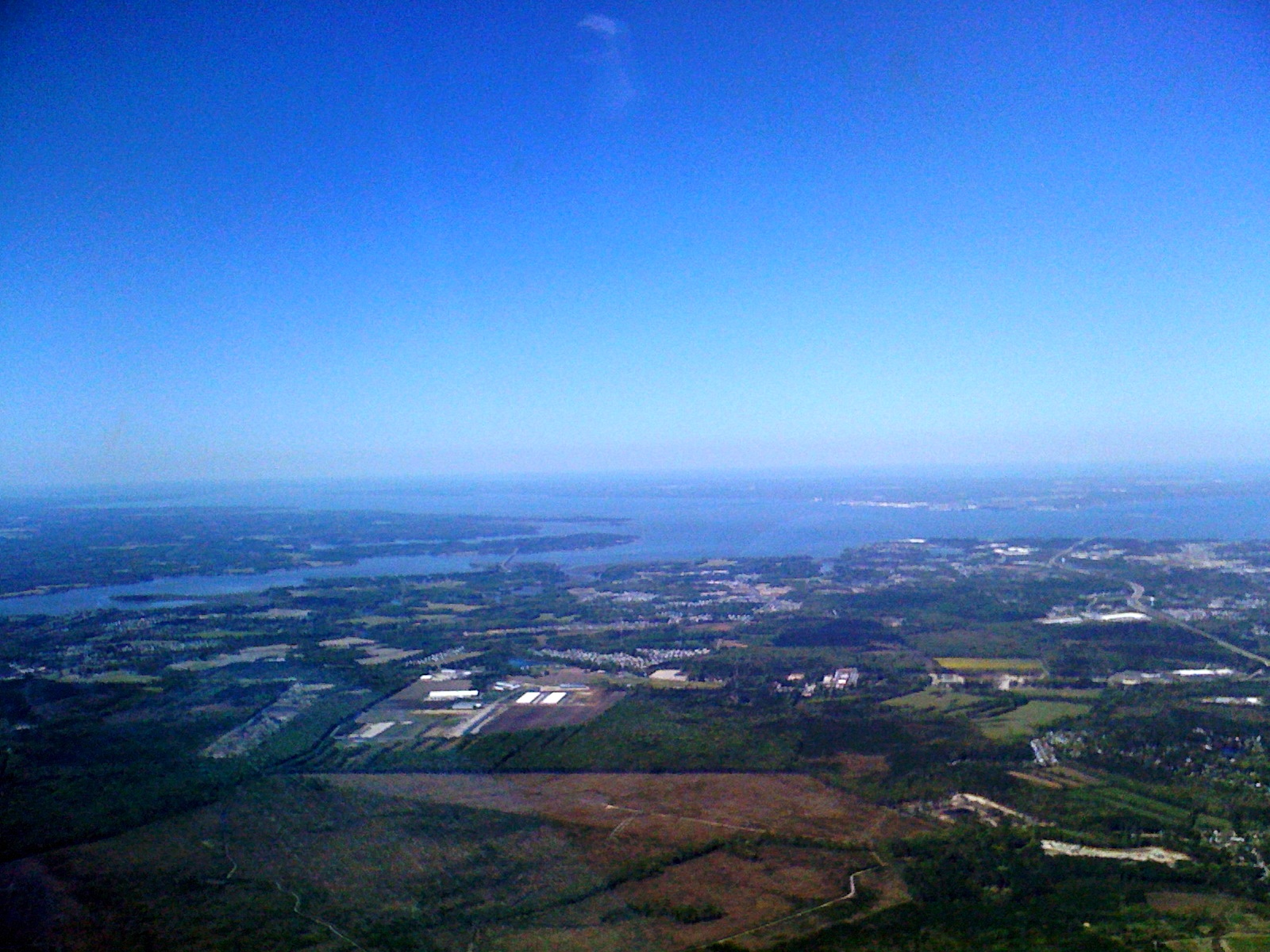
Across The Bay
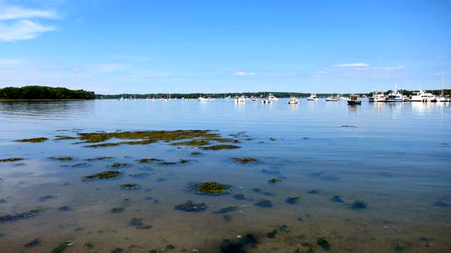
Near the Great Bay Marina
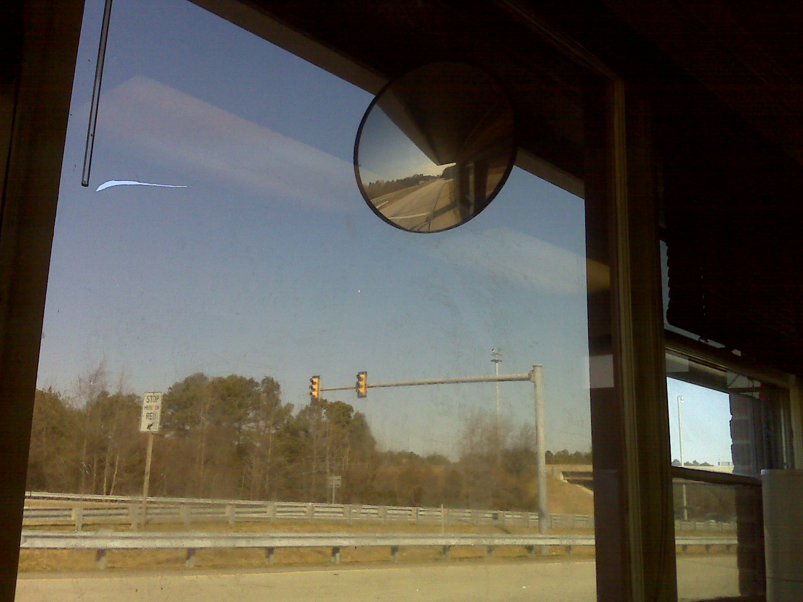
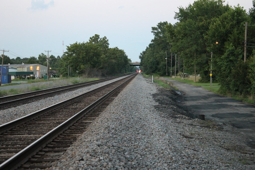
Interstate 664

No, Mr. Bond, I expect you to die.
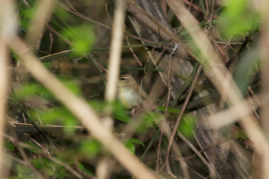
Swainson's Warbler

Barred Owl

Hall Mirror
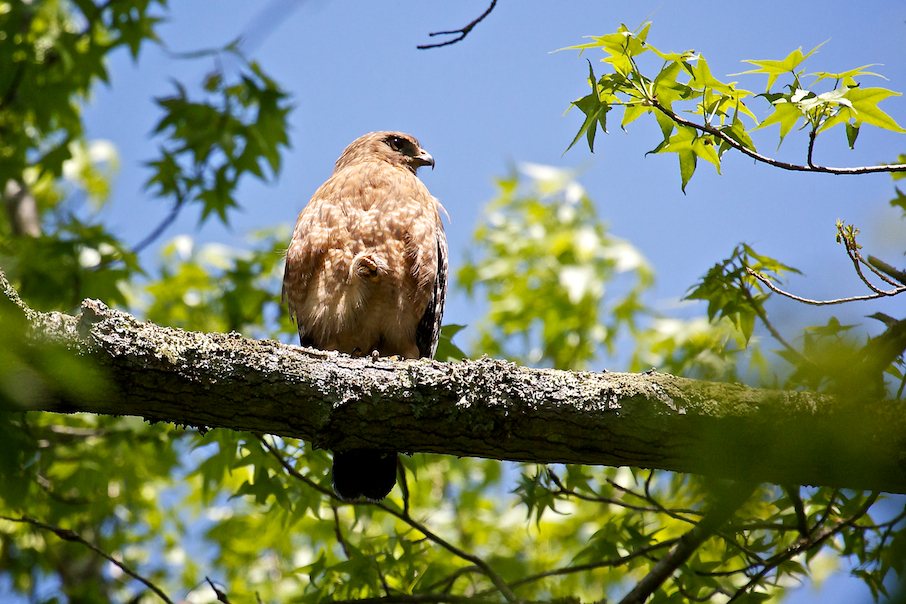
Red-shouldered Hawk
The view from the rear
The View From My [Old] Backyard, 2004.
The view from Yadkin
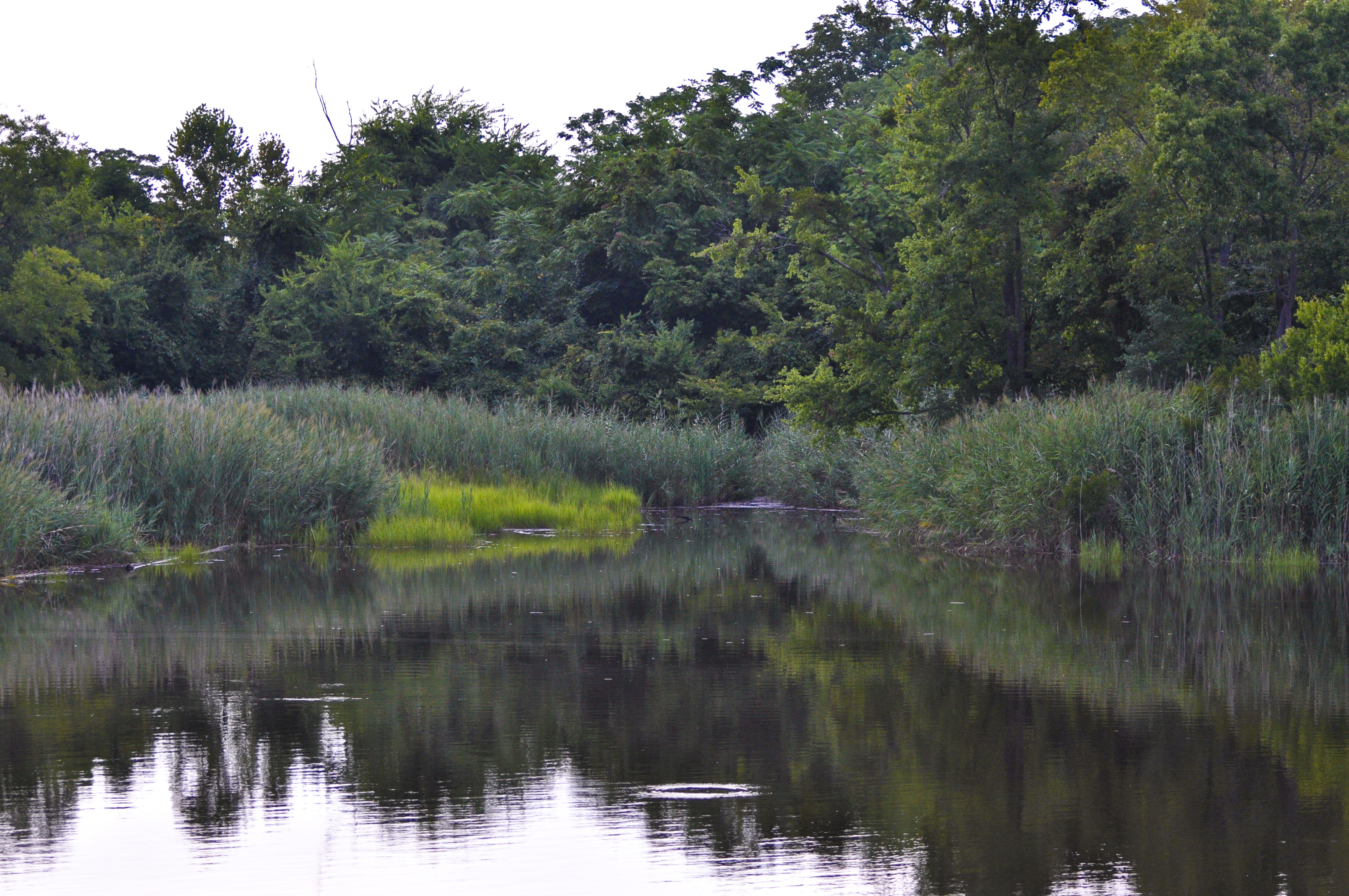
Between the Lines
Day 3 of the trip 052

Moon Setting

2/7/13 06:56 AM
In the Distance

Produce-22
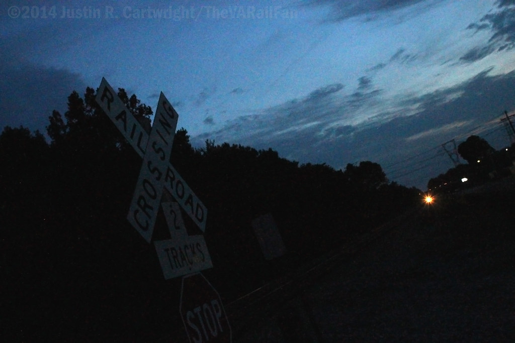
HRStock Drone (260 of 776)

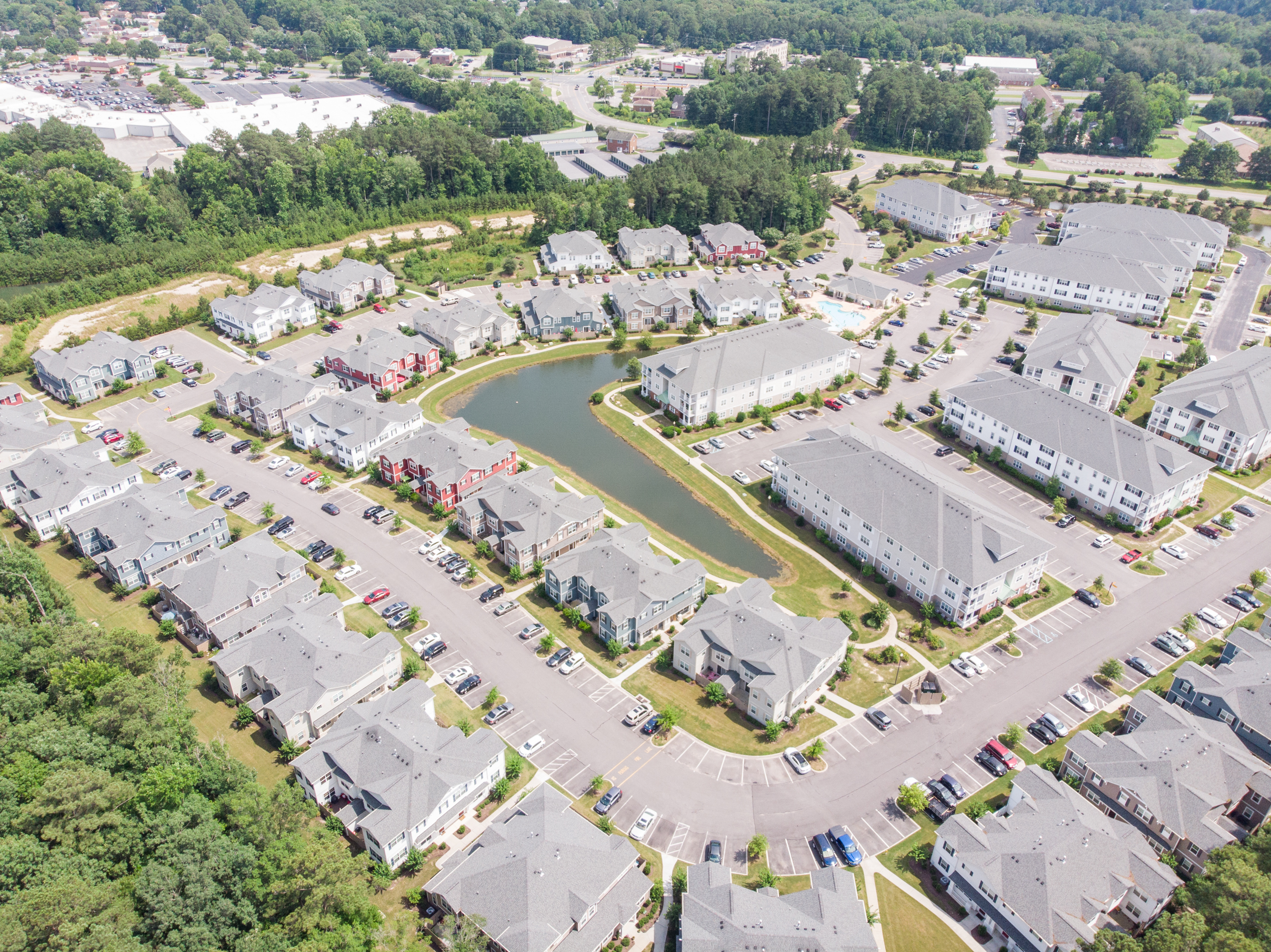
HRStock Drone (515 of 776)

HRStock Drone (705 of 776)

HRStock Drone (589 of 776)
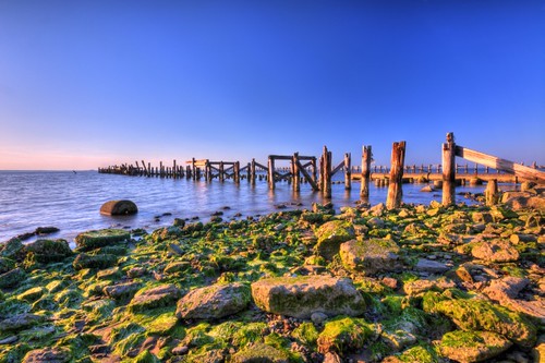
Old Bay Pier

After the storm
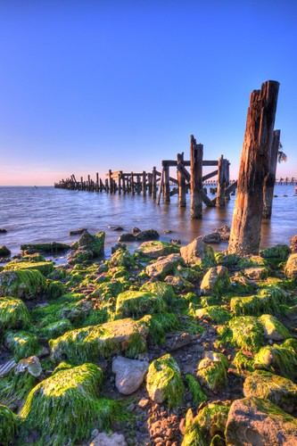
Low Tide
V18 under the Whiskers
Lone Star Lakes
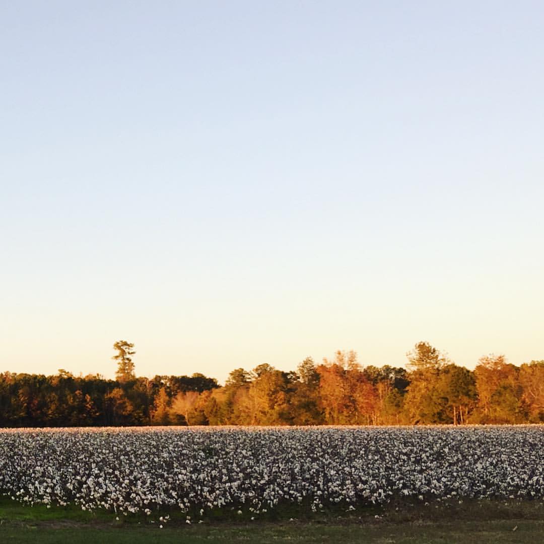
Golden, sunset light on autumn leaves that hover over fields of puffy, white cotton. So thankful we got to spend time with dear friends this weekend.
Portsmouth River Walk
Topographic Map of Wonderland Dr, Suffolk, VA, USA
Find elevation by address:

Places near Wonderland Dr, Suffolk, VA, USA:
Sherwood Place
Woodland Trail, Suffolk, VA, USA
118 Brittany Ln
Kendal Way
118 Whimbrel Dr
321 Turnstone Dr
206 Kings Reach
5128 Harbor Rd
1212 B St
Lombard Street
5089 Kelso St
Hillpoint Blvd, Suffolk, VA, USA
4824 Condor Dr
1710 N River Creek Landing
3013 Carlisle Ct
3015 Carlisle Ct
1720 N River Creek Landing
1444 Bridge Point Trail
2861 N Nansemond Dr
3617 Blue Stem Ct
Recent Searches:
- Elevation of Congressional Dr, Stevensville, MD, USA
- Elevation of Bellview Rd, McLean, VA, USA
- Elevation of Stage Island Rd, Chatham, MA, USA
- Elevation of Shibuya Scramble Crossing, 21 Udagawacho, Shibuya City, Tokyo -, Japan
- Elevation of Jadagoniai, Kaunas District Municipality, Lithuania
- Elevation of Pagonija rock, Kranto 7-oji g. 8"N, Kaunas, Lithuania
- Elevation of Co Rd 87, Jamestown, CO, USA
- Elevation of Tenjo, Cundinamarca, Colombia
- Elevation of Côte-des-Neiges, Montreal, QC H4A 3J6, Canada
- Elevation of Bobcat Dr, Helena, MT, USA