Elevation of ME-16, Milo, ME, USA
Location: United States > Maine > Piscataquis County > Southeast Piscataquis >
Longitude: -68.885933
Latitude: 45.1839509
Elevation: 87m / 285feet
Barometric Pressure: 100KPa
Elevation Map:
Satellite Map:
Related Photos:

Bridge 1085-01
2006 Aug epic maine trip with Ross. (62)

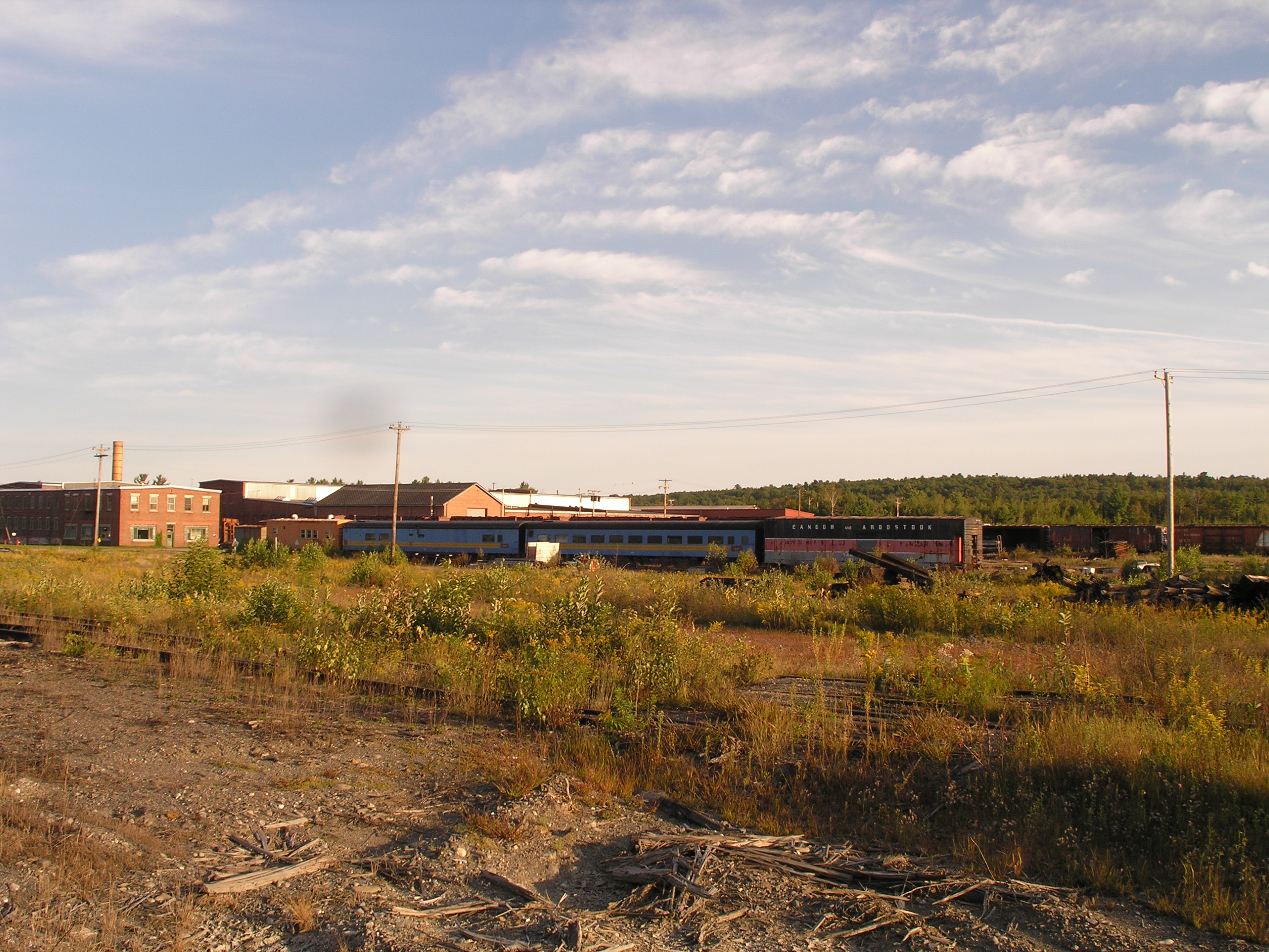
2006 Aug epic trip to Maine - rail yard (4)

Sebec River at Dusk

splash!

Bridge 1085-02

Bridge 1085-23
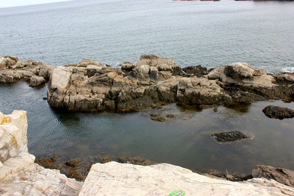
rock on

oceanic paradise

Bridge 1085-24

Kittery Point, Maine
Topographic Map of ME-16, Milo, ME, USA
Find elevation by address:

Places near ME-16, Milo, ME, USA:
Lagrange
Medford Road
Bennoch Rd, Lagrange, ME, USA
Schoodic Lake Dam
27 Murphy Rd
River Rd, Lagrange, ME, USA
Edinburg
Argyle
ME-, Argyle, ME, USA
ME-, Edinburg, ME, USA
Greenbush
Cardville Road
65 Madden Ln, Greenbush, ME, USA
Penobscot County
Enfield Road
99 River Rd
S Chester Rd, Chester, ME, USA
Lowell
Lincoln
Lincoln
Recent Searches:
- Elevation of Congressional Dr, Stevensville, MD, USA
- Elevation of Bellview Rd, McLean, VA, USA
- Elevation of Stage Island Rd, Chatham, MA, USA
- Elevation of Shibuya Scramble Crossing, 21 Udagawacho, Shibuya City, Tokyo -, Japan
- Elevation of Jadagoniai, Kaunas District Municipality, Lithuania
- Elevation of Pagonija rock, Kranto 7-oji g. 8"N, Kaunas, Lithuania
- Elevation of Co Rd 87, Jamestown, CO, USA
- Elevation of Tenjo, Cundinamarca, Colombia
- Elevation of Côte-des-Neiges, Montreal, QC H4A 3J6, Canada
- Elevation of Bobcat Dr, Helena, MT, USA