Elevation of ME-, Edinburg, ME, USA
Location: United States > Maine > Penobscot County > Edinburg >
Longitude: -68.637490
Latitude: 45.1705103
Elevation: 47m / 154feet
Barometric Pressure: 101KPa
Elevation Map:
Satellite Map:
Related Photos:
View from the front door.

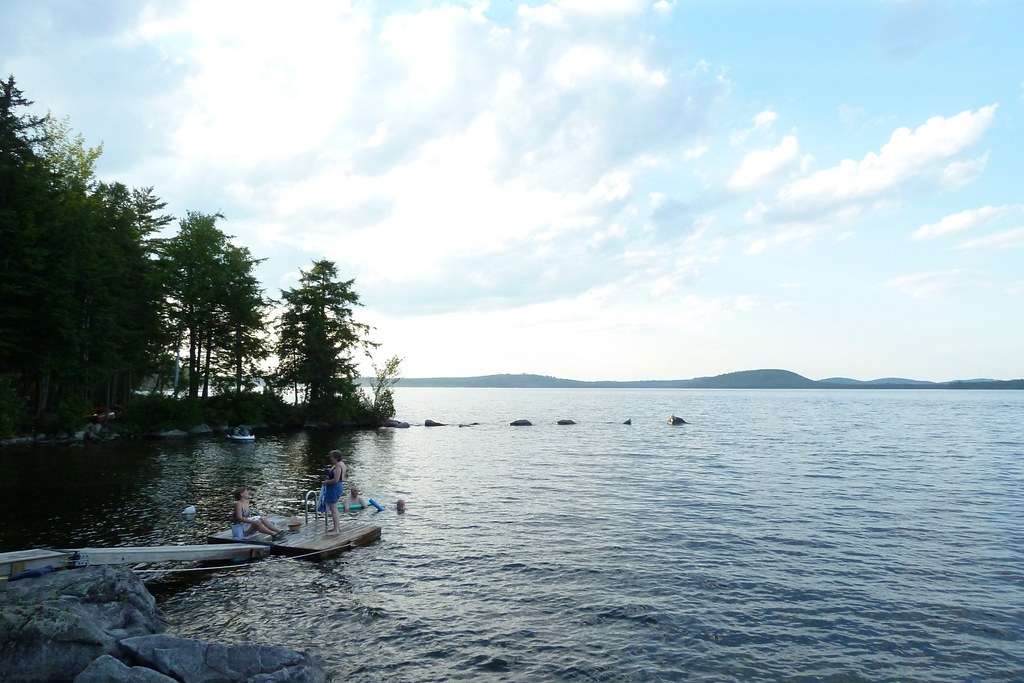
Glassy blue

October 6 morning

End of winter sunrise 4

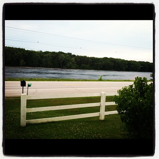
Penobscot River

Morning trees on fiyah

Now you know what heaven looks like
Cold Stream Pond
Howland Tannery

Memorial Service Diane "Dee" Condon Jim Jaron
Topographic Map of ME-, Edinburg, ME, USA
Find elevation by address:

Places near ME-, Edinburg, ME, USA:
ME-, Argyle, ME, USA
Edinburg
Greenbush
Cardville Road
Argyle
65 Madden Ln, Greenbush, ME, USA
River Rd, Lagrange, ME, USA
Penobscot County
Enfield Road
Lowell
Bennoch Rd, Lagrange, ME, USA
10 W Old Main Rd, Lowell, ME, USA
Greenfield
Lagrange
Medford Road
99 River Rd
Transalpine Rd, Lincoln, ME, USA
800 Transalpine Rd
East Central Penobscot
10 Collins Point Rd
Recent Searches:
- Elevation of Elwyn Dr, Roanoke Rapids, NC, USA
- Elevation of Congressional Dr, Stevensville, MD, USA
- Elevation of Bellview Rd, McLean, VA, USA
- Elevation of Stage Island Rd, Chatham, MA, USA
- Elevation of Shibuya Scramble Crossing, 21 Udagawacho, Shibuya City, Tokyo -, Japan
- Elevation of Jadagoniai, Kaunas District Municipality, Lithuania
- Elevation of Pagonija rock, Kranto 7-oji g. 8"N, Kaunas, Lithuania
- Elevation of Co Rd 87, Jamestown, CO, USA
- Elevation of Tenjo, Cundinamarca, Colombia
- Elevation of Côte-des-Neiges, Montreal, QC H4A 3J6, Canada