Elevation of Argyle, ME, USA
Location: United States > Maine > Penobscot County >
Longitude: -68.696961
Latitude: 45.0813441
Elevation: 75m / 246feet
Barometric Pressure: 100KPa
Elevation Map:
Satellite Map:
Related Photos:
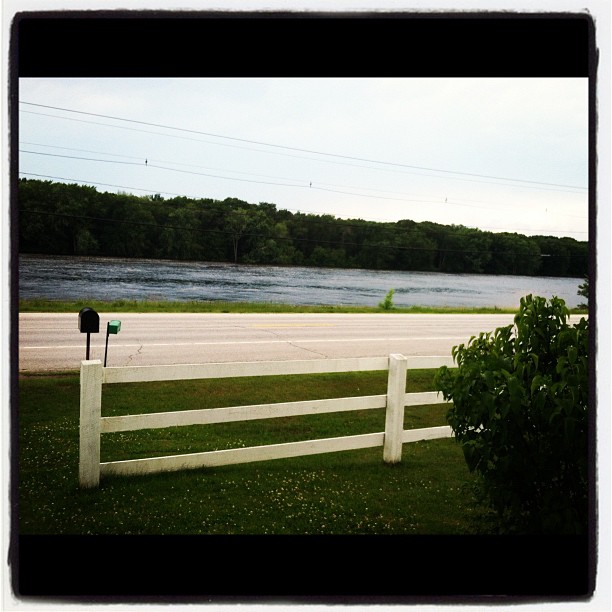
View from the front door.
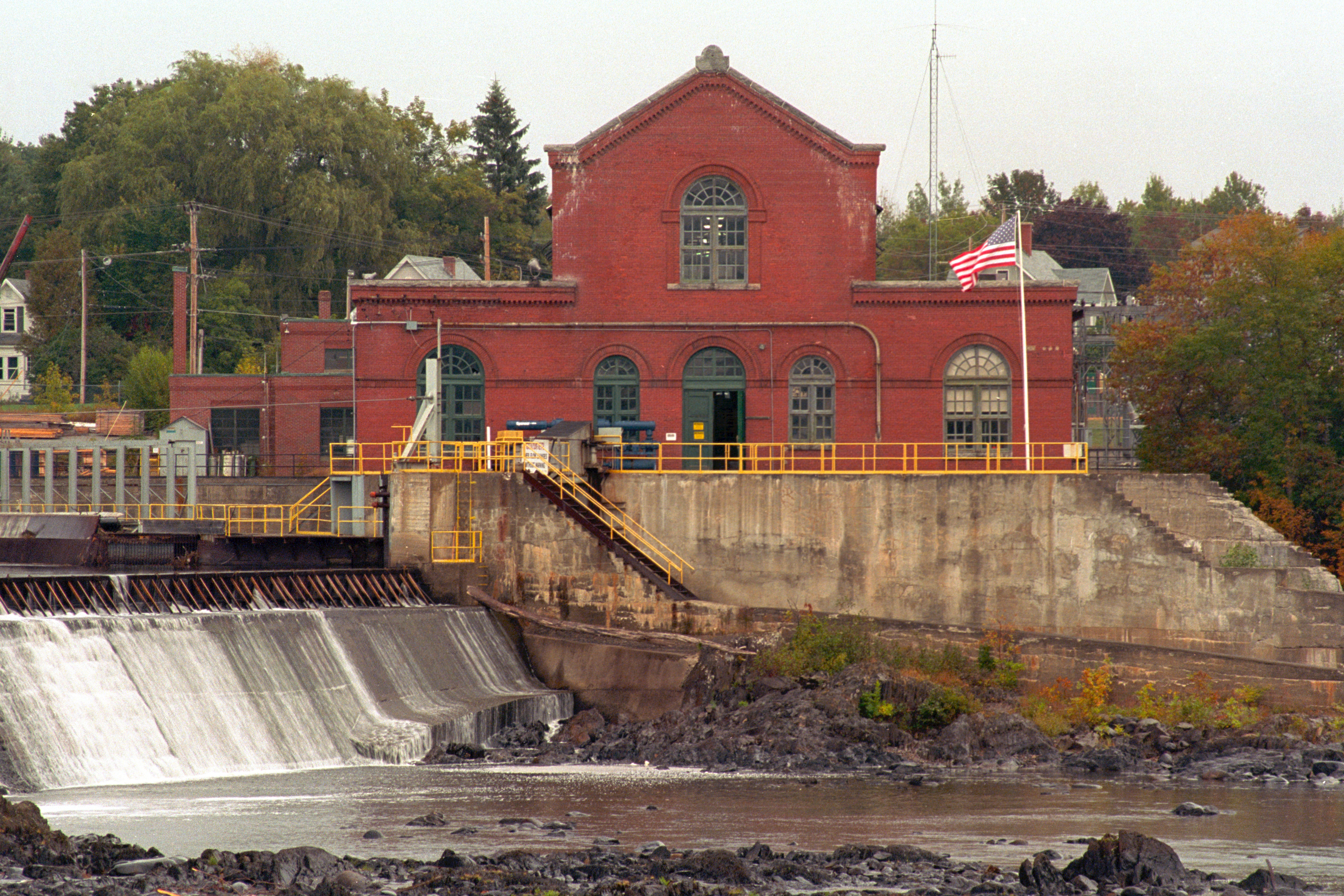
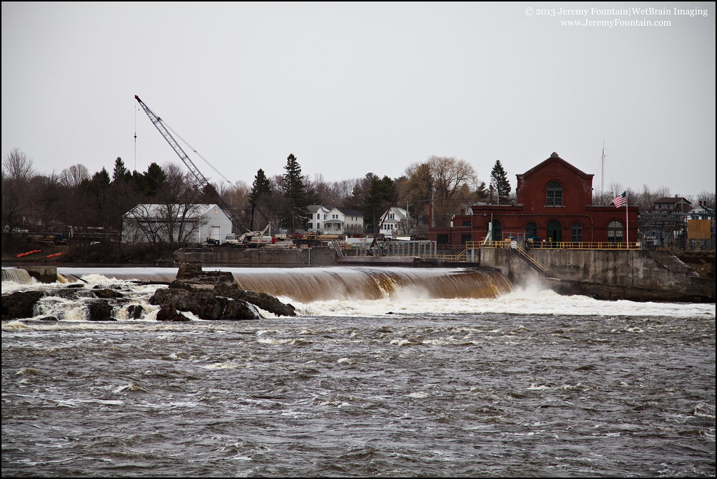
Milford Hydroelectric Station
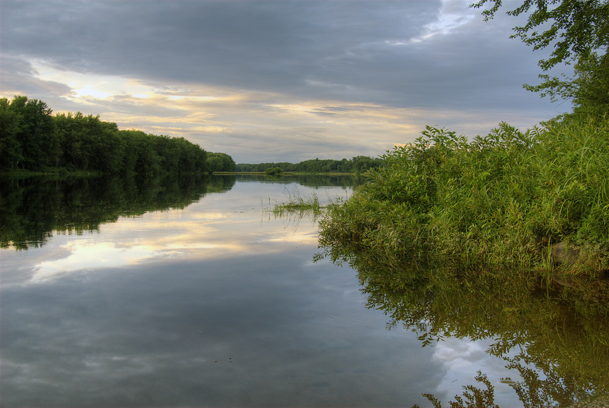
Penobscot River
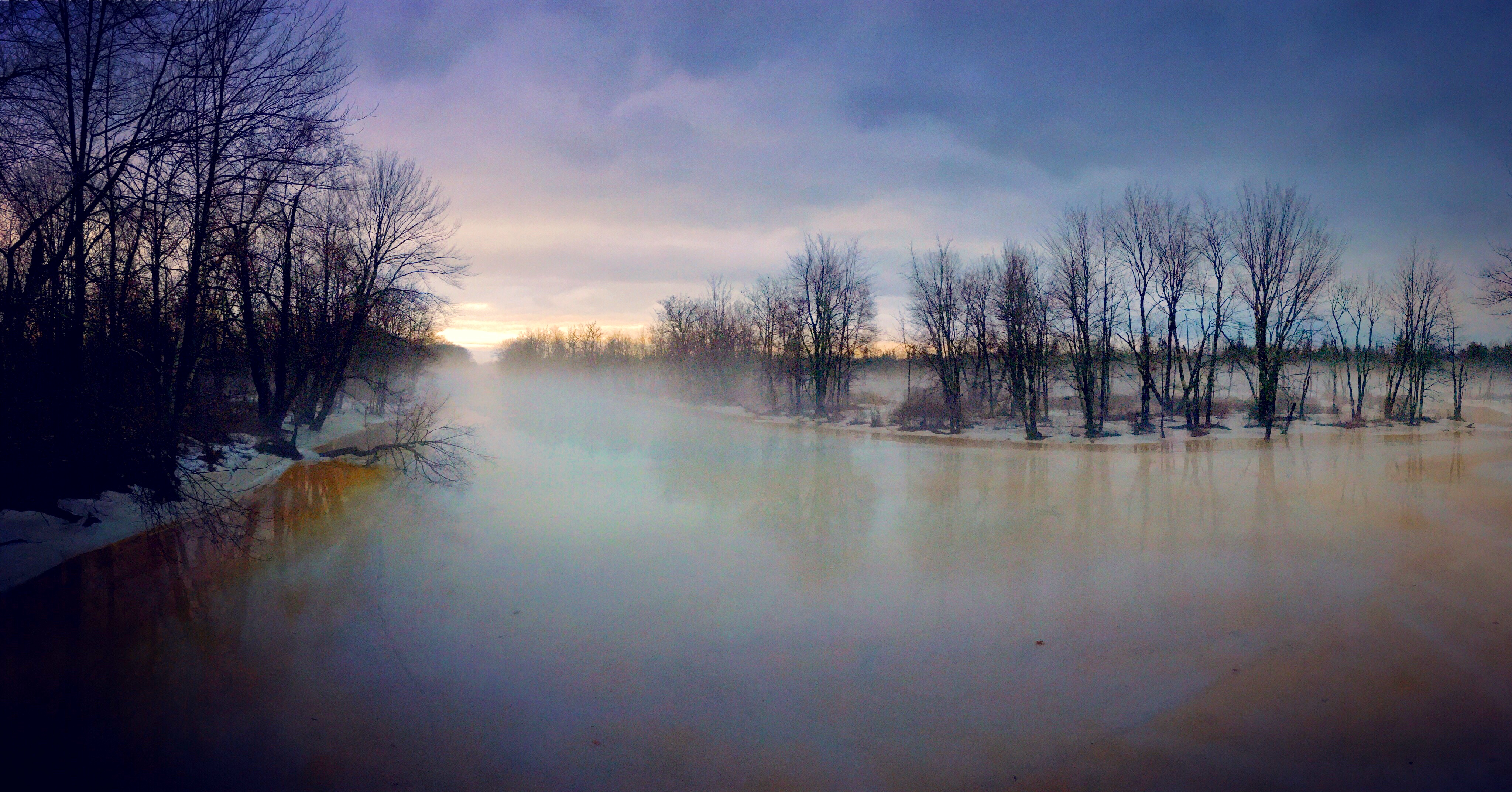
Foggy Morning at Old Town Maine
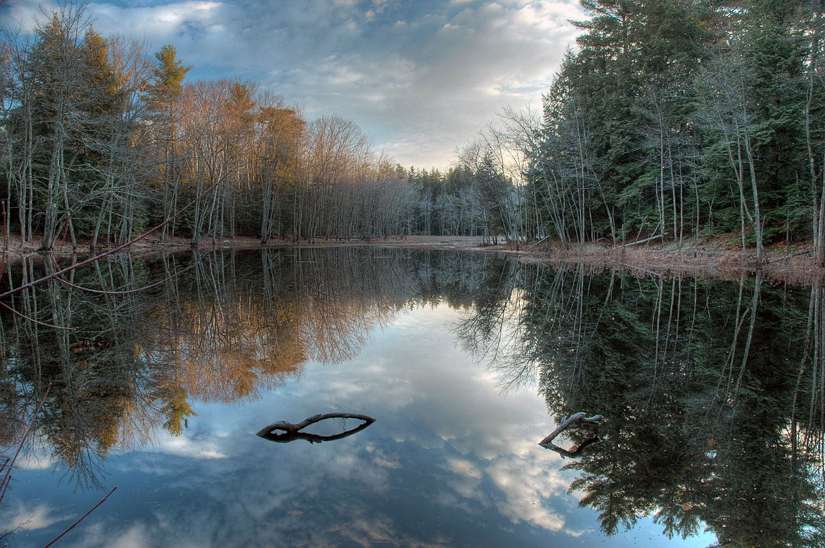
Frosty Morning
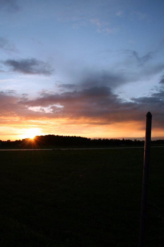
6/22/07 sunset #4
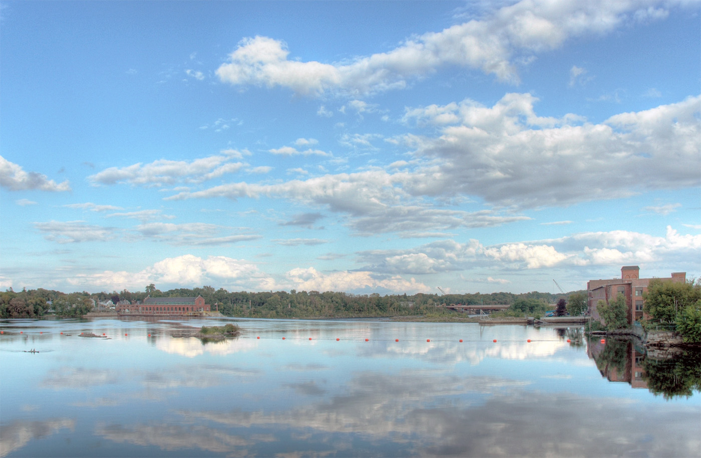
Penobscot River
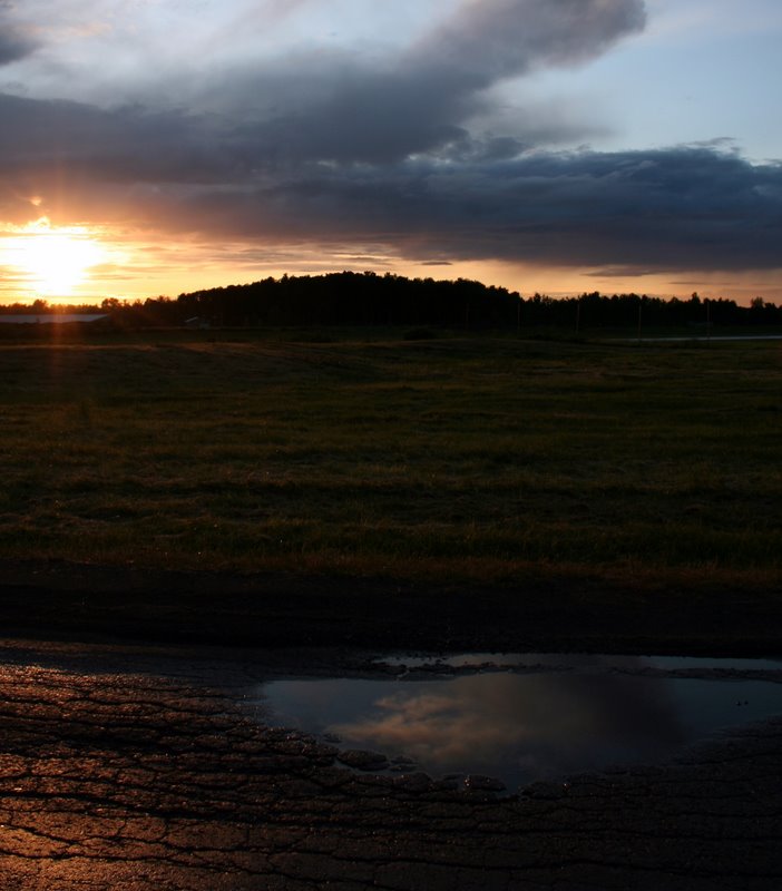
6/22/07 sunset #7

Stevie Hasenfus

Visitor Meanwhile

Rafting up for snacks on our last day of the #150thoreau-Wabanaki Expedition before arriving at Indian Island in Old Town, Maine. #canoe
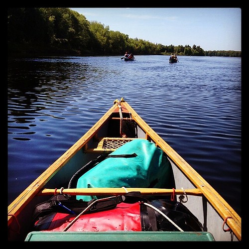
Had a #canoe to myself for a short stretch on the #150thoreau-Wabanaki Expedition. Peaceful, but a little more work to keep up w the double canoes.

Cooking breakfast. #150thoreau #Maine #camping #fire #kettle #bilby #dutchoven #boots
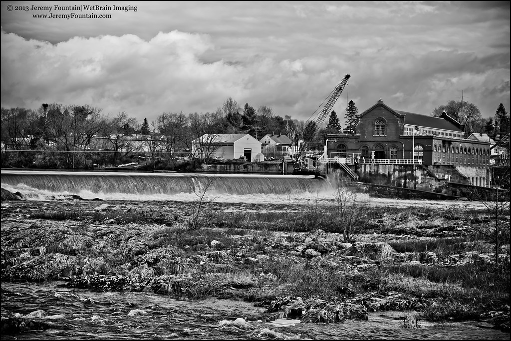
Milford Dam
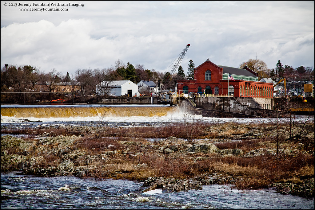
Milford on the Penobscot

Eagle feather on Penobscot
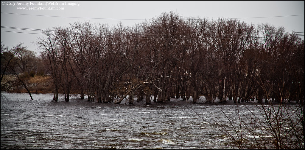
Penobscot River in Old Town
Bangor Hydro Power Station (Old Town, ME)
Topographic Map of Argyle, ME, USA
Find elevation by address:

Places in Argyle, ME, USA:
Places near Argyle, ME, USA:
Greenbush
ME-, Argyle, ME, USA
Cardville Road
Edinburg
65 Madden Ln, Greenbush, ME, USA
ME-, Edinburg, ME, USA
Bennoch Rd, Lagrange, ME, USA
27 Murphy Rd
Lagrange
River Rd, Lagrange, ME, USA
Medford Road
ME-16, Milo, ME, USA
Greenfield
Lowell
Penobscot County
10 W Old Main Rd, Lowell, ME, USA
Enfield Road
East Central Penobscot
99 River Rd
Schoodic Lake Dam
Recent Searches:
- Elevation of Elwyn Dr, Roanoke Rapids, NC, USA
- Elevation of Congressional Dr, Stevensville, MD, USA
- Elevation of Bellview Rd, McLean, VA, USA
- Elevation of Stage Island Rd, Chatham, MA, USA
- Elevation of Shibuya Scramble Crossing, 21 Udagawacho, Shibuya City, Tokyo -, Japan
- Elevation of Jadagoniai, Kaunas District Municipality, Lithuania
- Elevation of Pagonija rock, Kranto 7-oji g. 8"N, Kaunas, Lithuania
- Elevation of Co Rd 87, Jamestown, CO, USA
- Elevation of Tenjo, Cundinamarca, Colombia
- Elevation of Côte-des-Neiges, Montreal, QC H4A 3J6, Canada