Elevation of 65 Madden Ln, Greenbush, ME, USA
Location: United States > Maine > Penobscot County > Greenbush >
Longitude: -68.593985
Latitude: 45.0528984
Elevation: 72m / 236feet
Barometric Pressure: 100KPa
Elevation Map:
Satellite Map:
Related Photos:
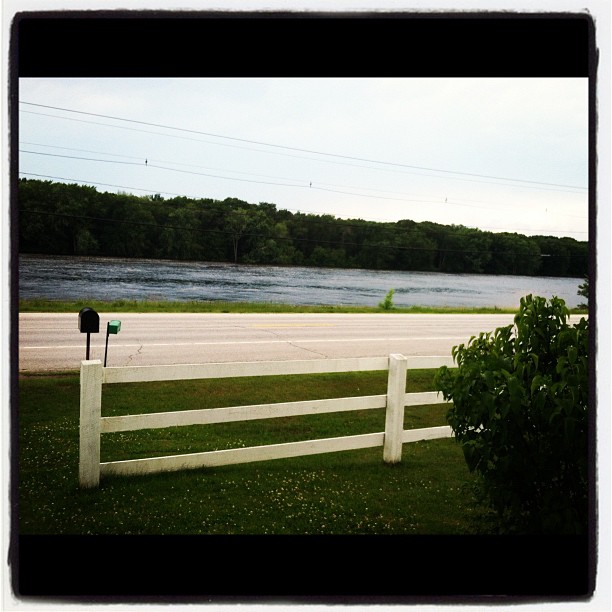
View from the front door.

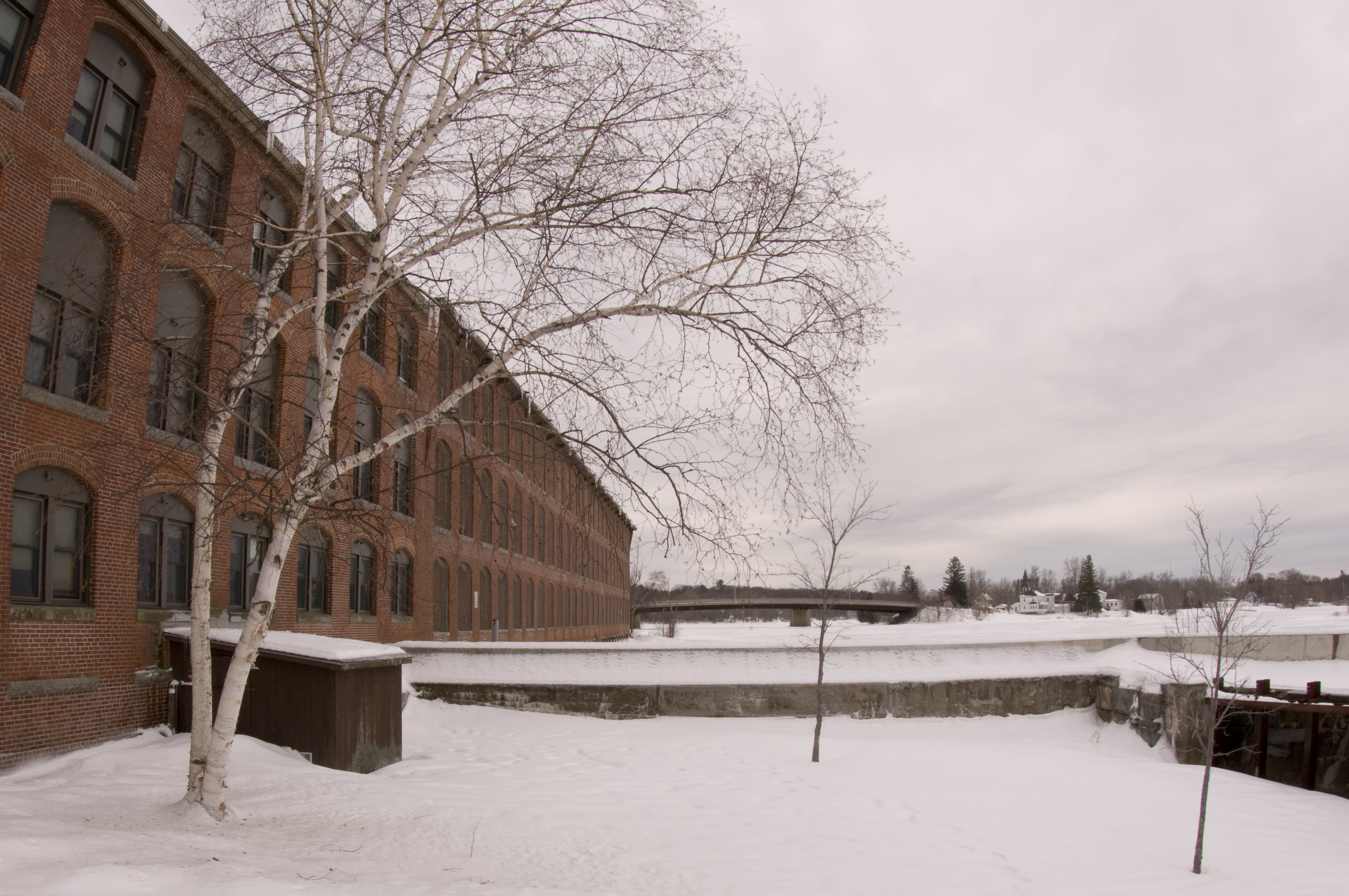
maine industry

studying mussels
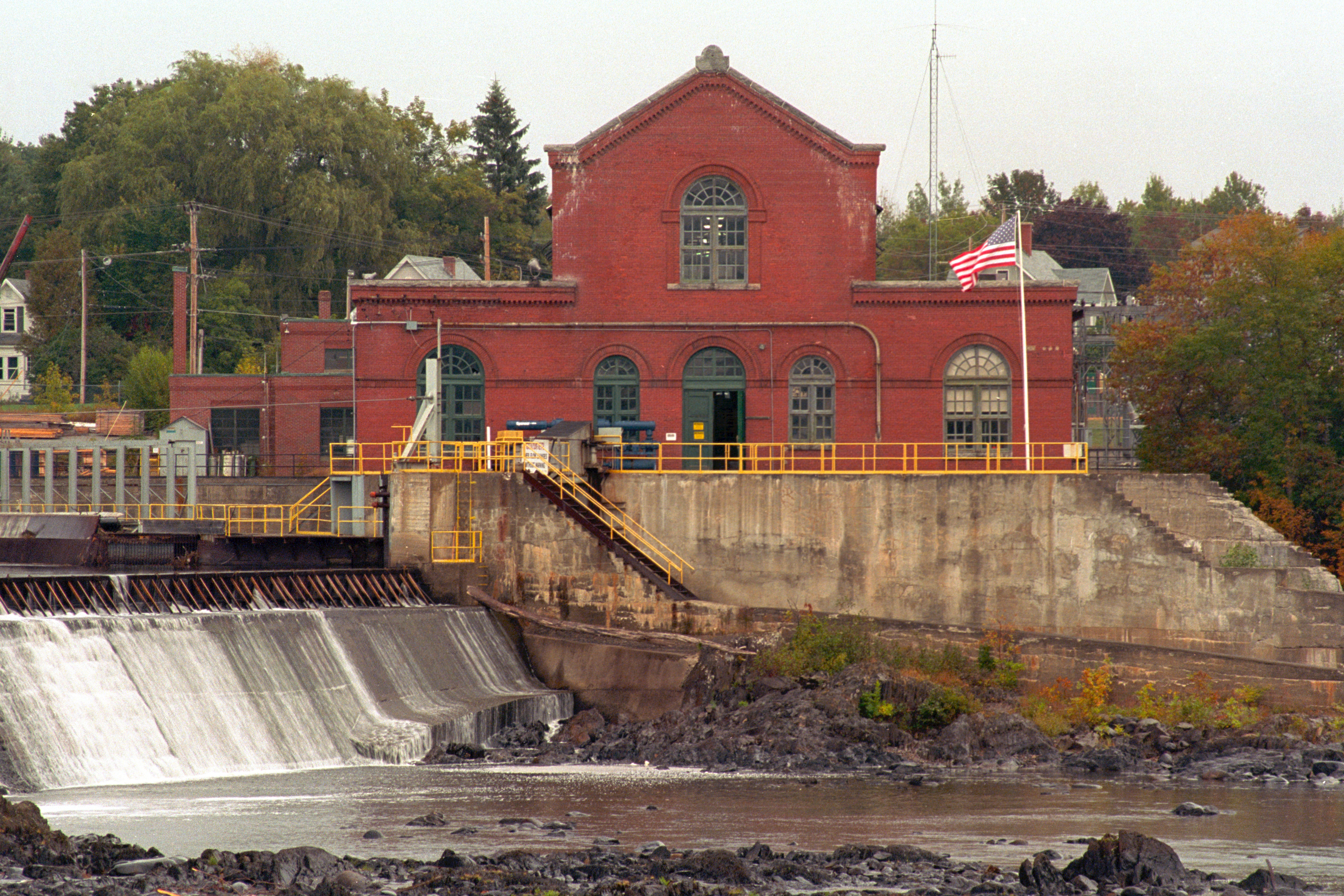
Milford Hydroelectric Station

planting mussels

side view
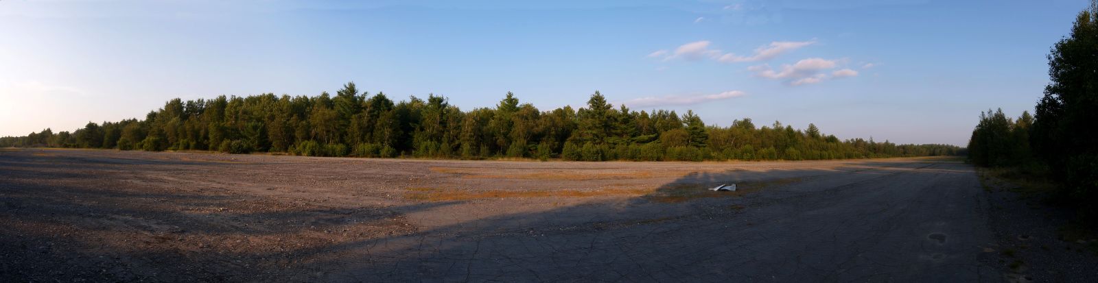
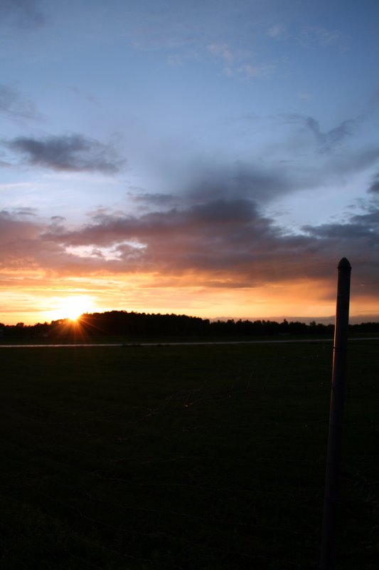
Milford Runway Panorama

Frosty Morning
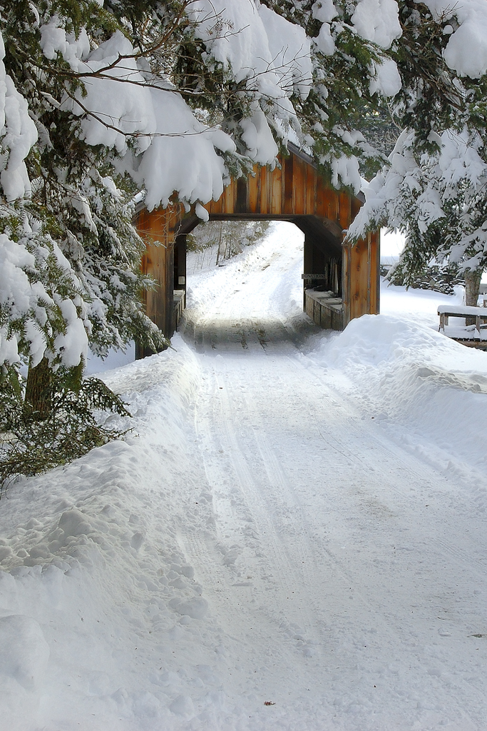
Leonards Mill Covered Bridge
6/22/07 sunset #4

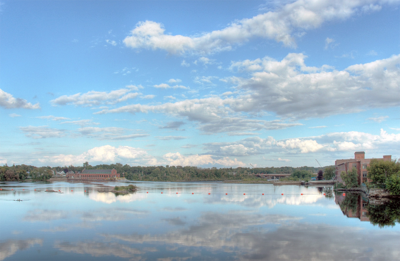
Penobscot River

After Sunset

Foggy Morning at Old Town Maine

Volcanic Sunset?
Penobscot River

6/22/07 sunset #7
_0001804.jpg

Burn Marks_Old Town, Maine, USA 22Sep2014
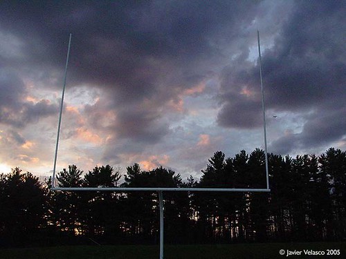
Flight past goal
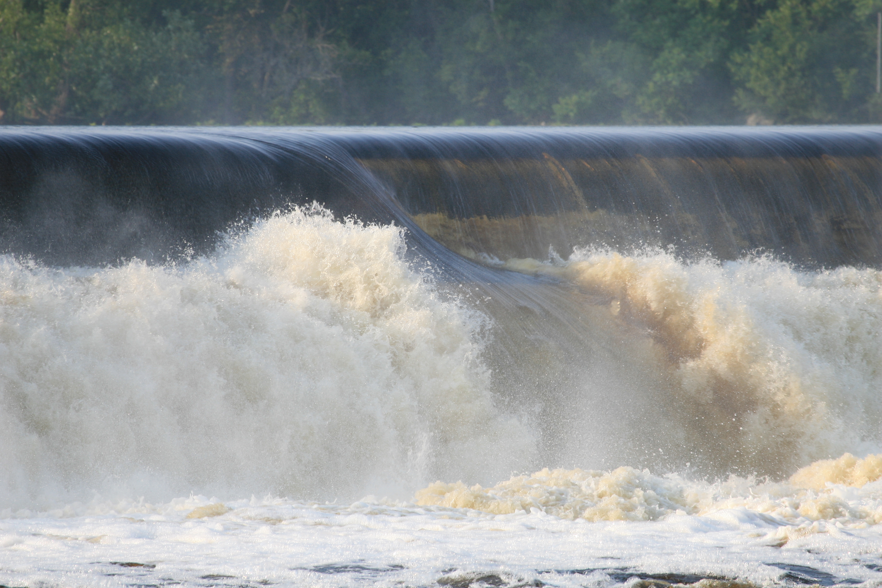
Rushing Water
Topographic Map of 65 Madden Ln, Greenbush, ME, USA
Find elevation by address:

Places near 65 Madden Ln, Greenbush, ME, USA:
Cardville Road
Greenbush
ME-, Argyle, ME, USA
Argyle
Greenfield
ME-, Edinburg, ME, USA
Edinburg
East Central Penobscot
Lowell
10 W Old Main Rd, Lowell, ME, USA
Bennoch Rd, Lagrange, ME, USA
27 Murphy Rd
River Rd, Lagrange, ME, USA
Enfield Road
Penobscot County
Lagrange
10 Collins Point Rd
800 Transalpine Rd
Transalpine Rd, Lincoln, ME, USA
Medford Road
Recent Searches:
- Elevation of Tenjo, Cundinamarca, Colombia
- Elevation of Côte-des-Neiges, Montreal, QC H4A 3J6, Canada
- Elevation of Bobcat Dr, Helena, MT, USA
- Elevation of Zu den Ihlowbergen, Althüttendorf, Germany
- Elevation of Badaber, Peshawar, Khyber Pakhtunkhwa, Pakistan
- Elevation of SE Heron Loop, Lincoln City, OR, USA
- Elevation of Slanický ostrov, 01 Námestovo, Slovakia
- Elevation of Spaceport America, Co Rd A, Truth or Consequences, NM, USA
- Elevation of Warwick, RI, USA
- Elevation of Fern Rd, Whitmore, CA, USA