Elevation of McKellar Ln, Palo Alto, CA, USA
Location: United States > California > Santa Clara County > Palo Alto > Palo Alto Orchards >
Longitude: -122.12273
Latitude: 37.407202
Elevation: 19m / 62feet
Barometric Pressure: 101KPa
Elevation Map:
Satellite Map:
Related Photos:
Fire breathing dragon

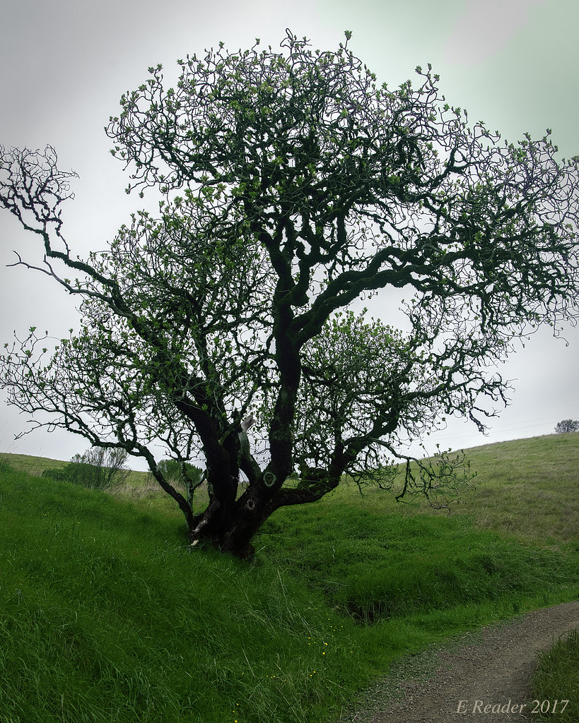
Gnarled Oak

Balloons In A Truck

DSC01246.JPG

IMG_7847.jpg

IMG_7898.jpg

Bicycle Seat

Pressed Magnolia

Ornaments In Latern

IMG_2314 Forster's Tern

Northern Harrier-IMG_1671-MV baylands-Crop
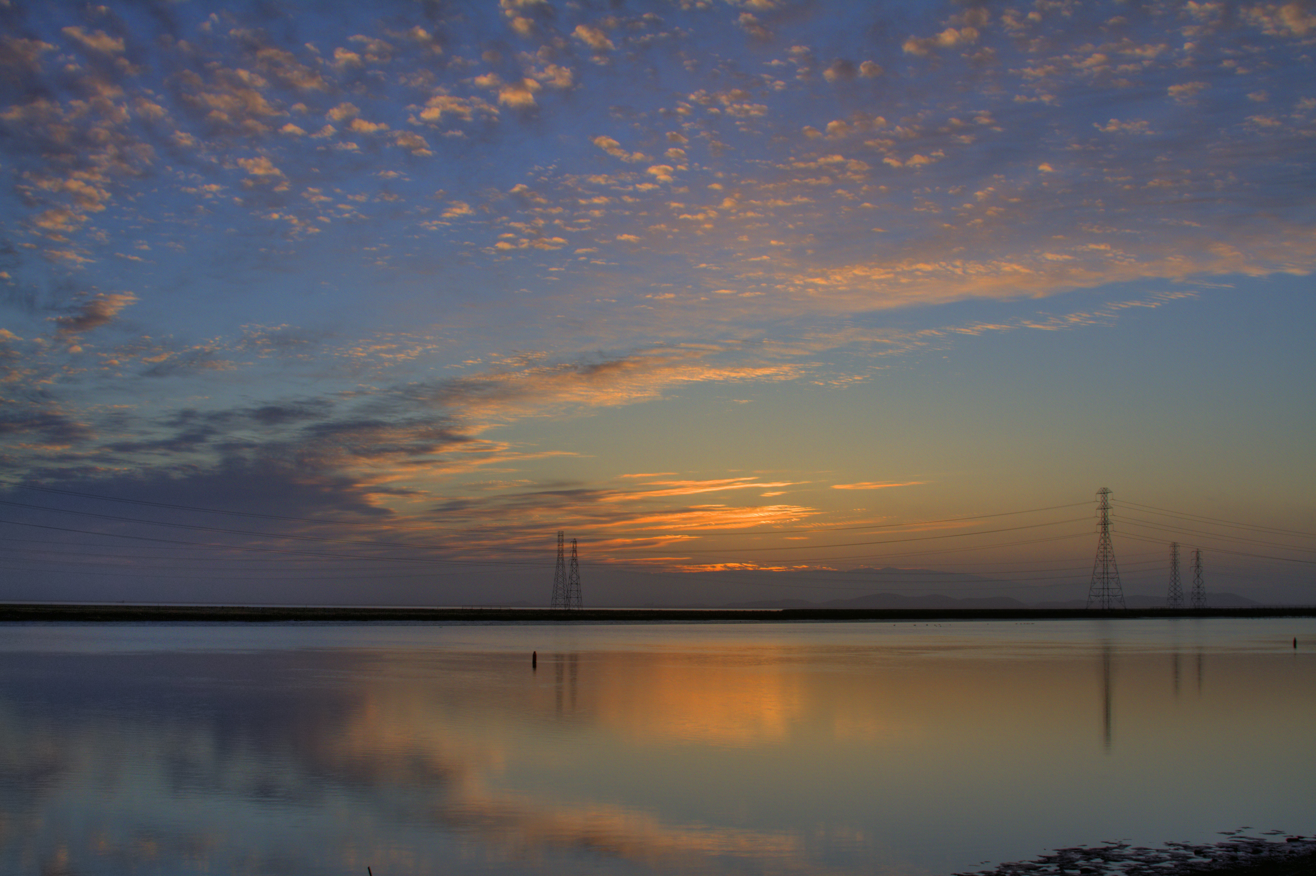
Morning in The Bay

Geese (HSS)
Door Prop
Cracked Earth

Early Morning Spotlight
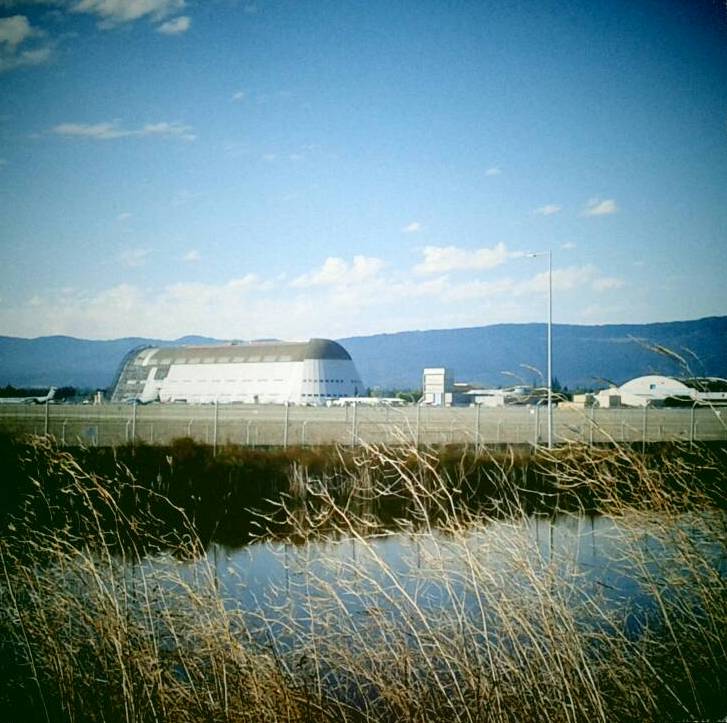
Hanger One
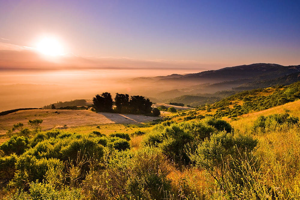
Solstice Sunrise

Golden View

DSC01222.JPG

IMG_4504 Forster's Tern, Mountain View Shoreline Park, CA

Heavenly Shades of Night are Falling -- Reprise

Fields of Gold

Door of opportunities :)

Heavenly shades of night are falling, it's twilight time ...
Springtime Awakening

California Coastal Fog (explored)

Gentle Afterglow

Trees and Rays

I wonder
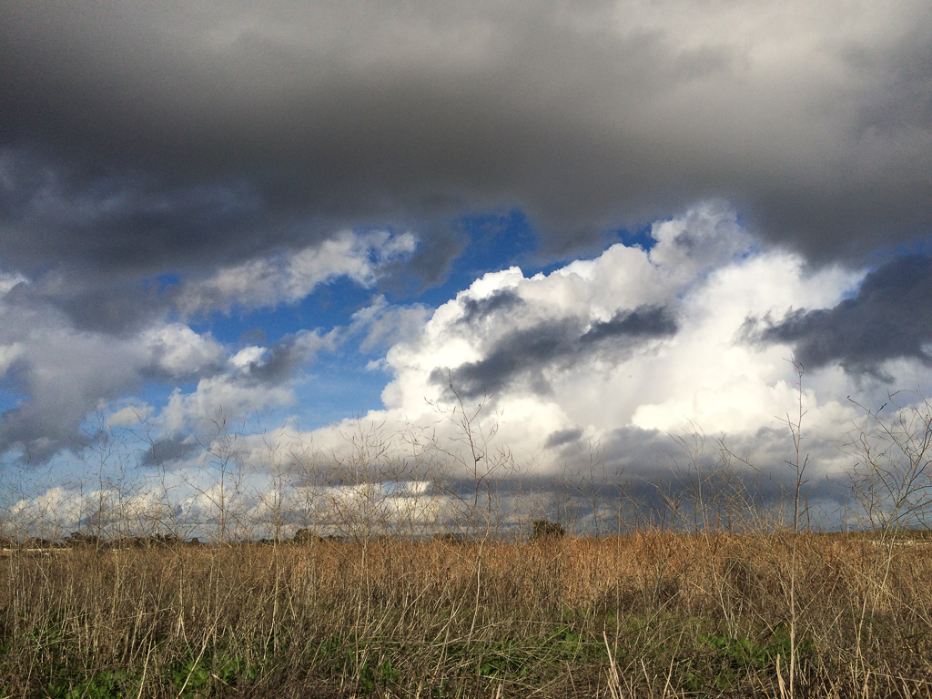
Los Trancos after the Storms
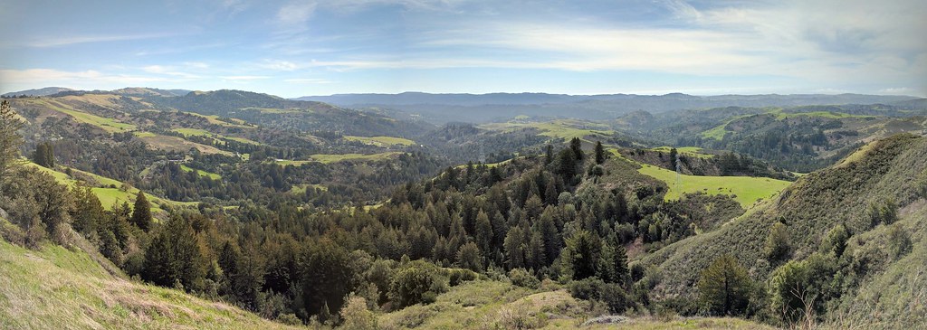
IMG_20170311_123526-PANO

Home on the Farm
Palo Alto Baylands

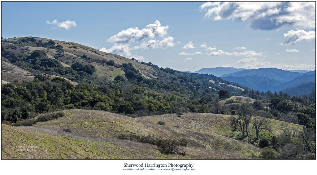
Arastradero Pasture

Trail to Heaven
Skyline Sunrise

My Favorite Tree

DSC00963.JPG

Closing Time

Central Park

April Skies | Palo Alto
Topographic Map of McKellar Ln, Palo Alto, CA, USA
Find elevation by address:

Places near McKellar Ln, Palo Alto, CA, USA:
4250 Mckellar Ln
4250 Mckellar Ln
Palo Alto Orchards
4275 Mckellar Ln
4200 El Camino Real
Monroe Park
Charleston Meadow
4373 Miller Ave
1021 Vía Del Pozo
East Charleston Road & Alma Street
3799 Lindero Dr
3799 Lindero Dr
Palo Alto, CA, USA
87 Roosevelt Cir
3700 Carlson Cir
Fairmeadow
37 San Antonio Rd
Greenmeadow
346 Ferne Ave
Whits Road
Recent Searches:
- Elevation of 4 Vale Rd, Sheffield S3 9QX, UK
- Elevation of Keene Point Drive, Keene Point Dr, Grant, AL, USA
- Elevation of State St, Zanesville, OH, USA
- Elevation of Austin Stone Dr, Haslet, TX, USA
- Elevation of Bydgoszcz, Poland
- Elevation of Bydgoszcz, Poland
- Elevation of Calais Dr, Del Mar, CA, USA
- Elevation of Placer Mine Ln, West Jordan, UT, USA
- Elevation of E 63rd St, New York, NY, USA
- Elevation of Elk City, OK, USA