Elevation of Ferne Ave, Palo Alto, CA, USA
Location: United States > California > Santa Clara County > Palo Alto > Greenmeadow >
Longitude: -122.10845
Latitude: 37.4133891
Elevation: 8m / 26feet
Barometric Pressure: 101KPa
Elevation Map:
Satellite Map:
Related Photos:

Gnarled Oak

California Coastal Fog (explored)

IMG_1868 Forster's Tern, Mountain View Shoreline Park, CA
Long Walks on Short Piers
The Road Less Travelled...
Vanishing Point

IMG_0173 Here I Come! Mountain View Shoreline Park, CA
Cracked Earth

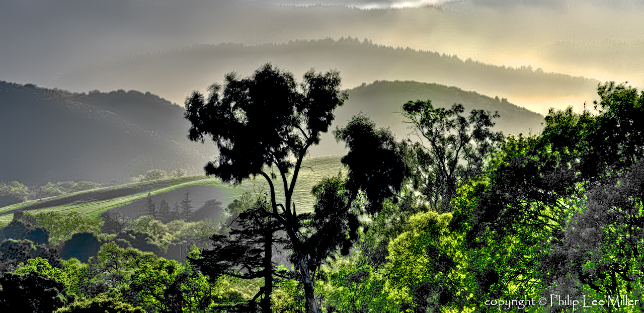
A New Day
All I Have to do is Dream ...
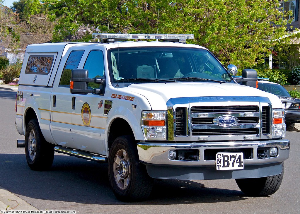
CNT Battalion 74
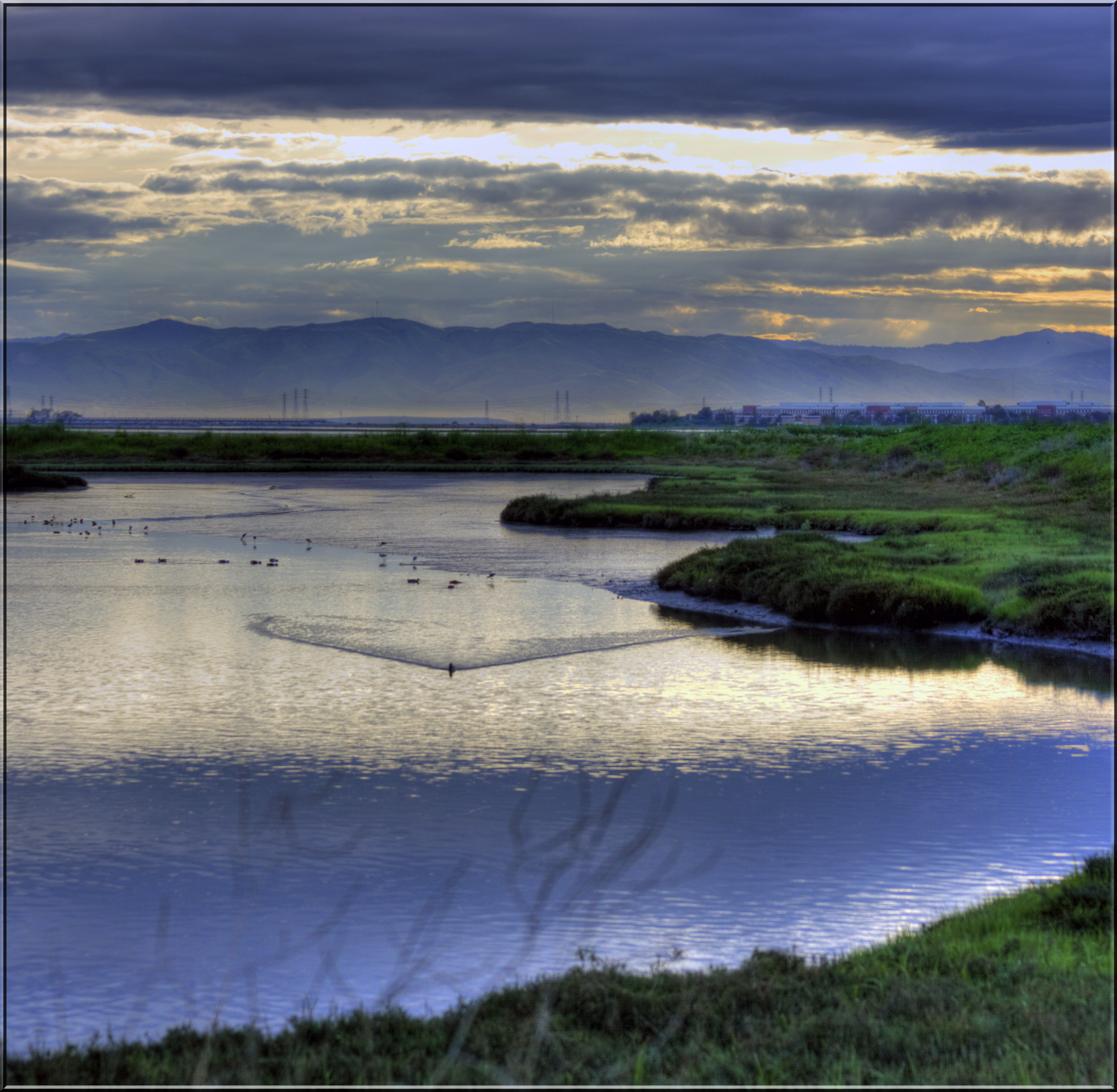
Morning on the Lagoon

Peaceful Day

IMG_9960 American Avocet
Naked in the early morning
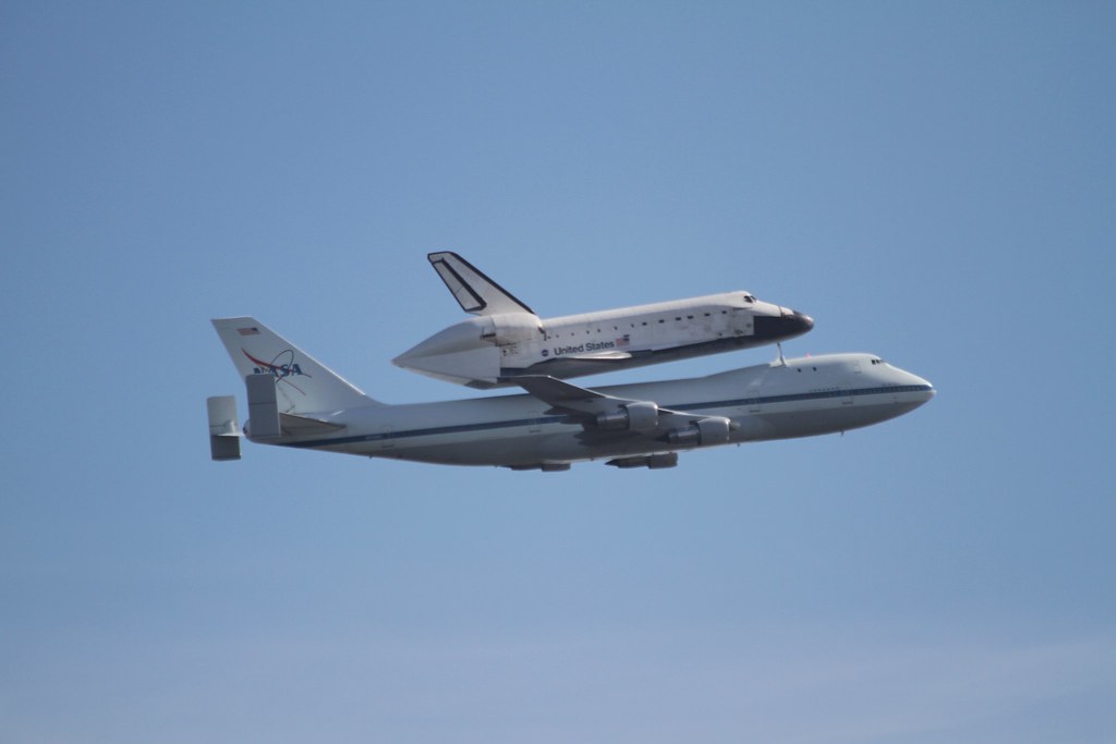
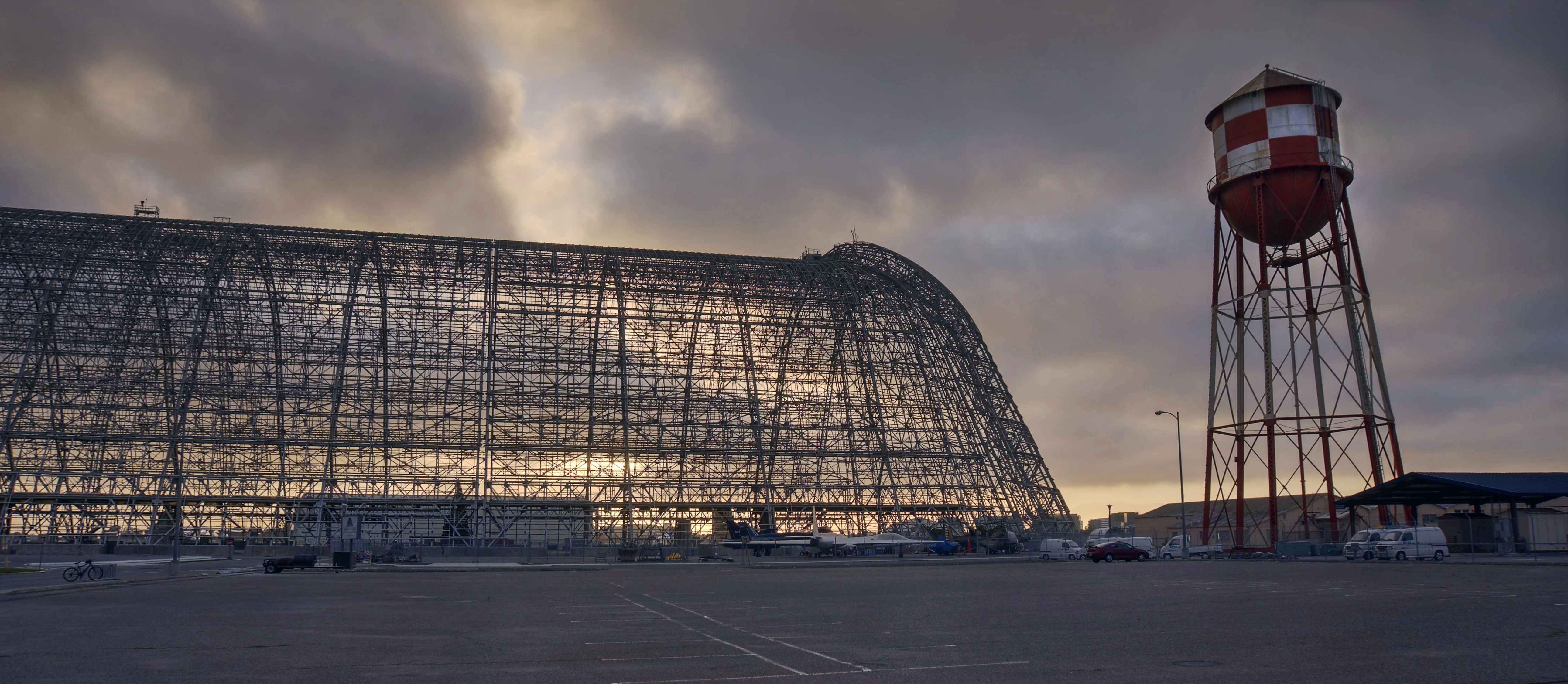
100% Manmade Magnificence
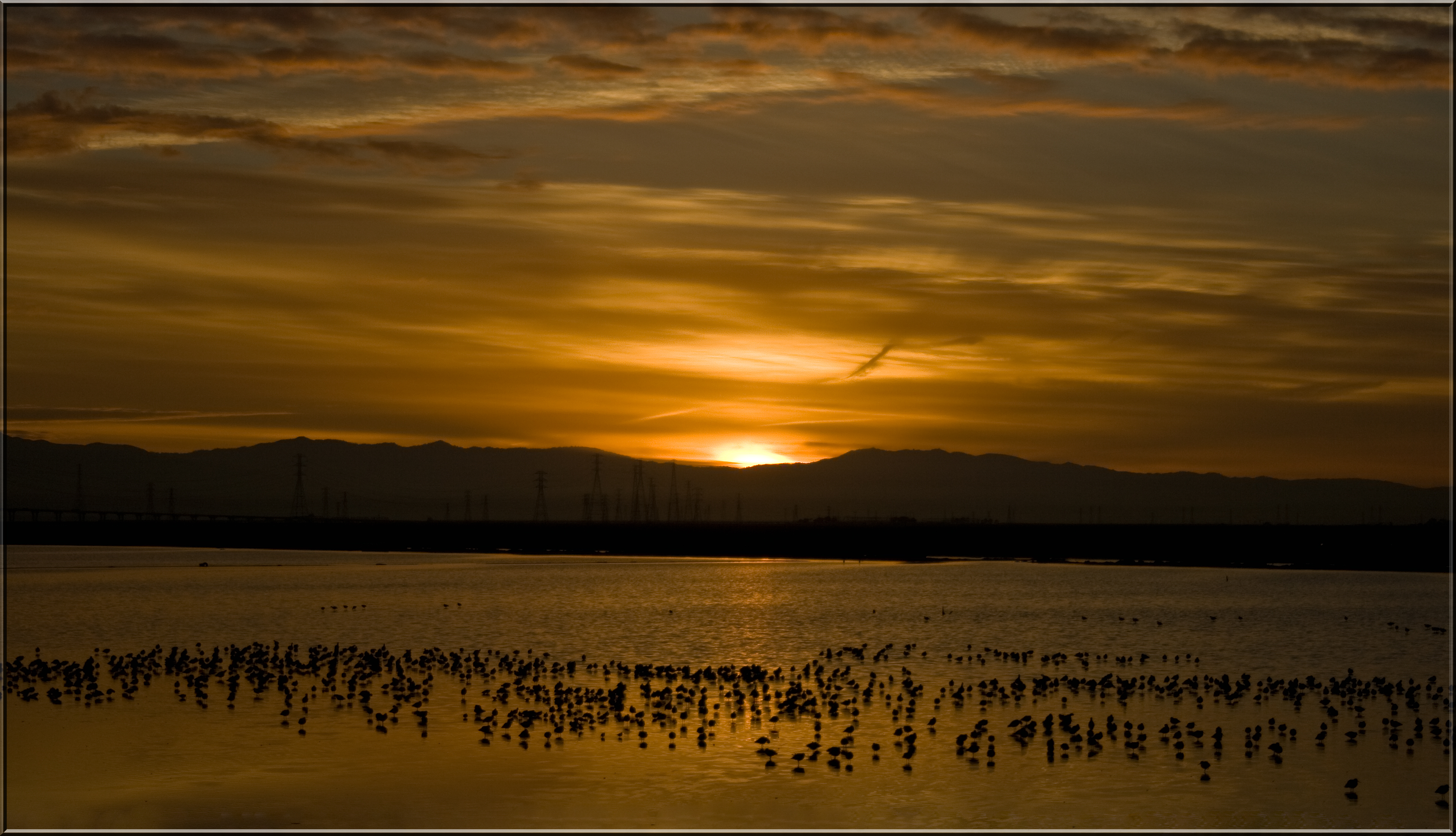
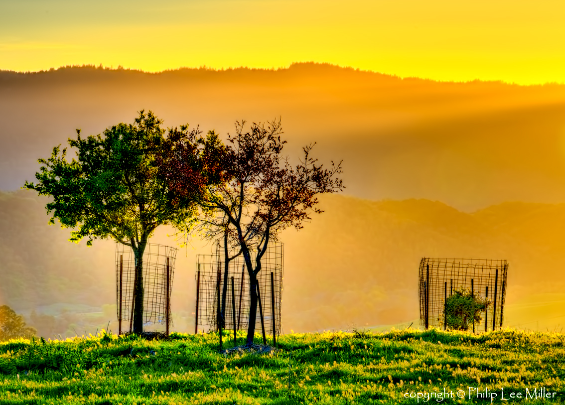
Dawn of Another Golden Day
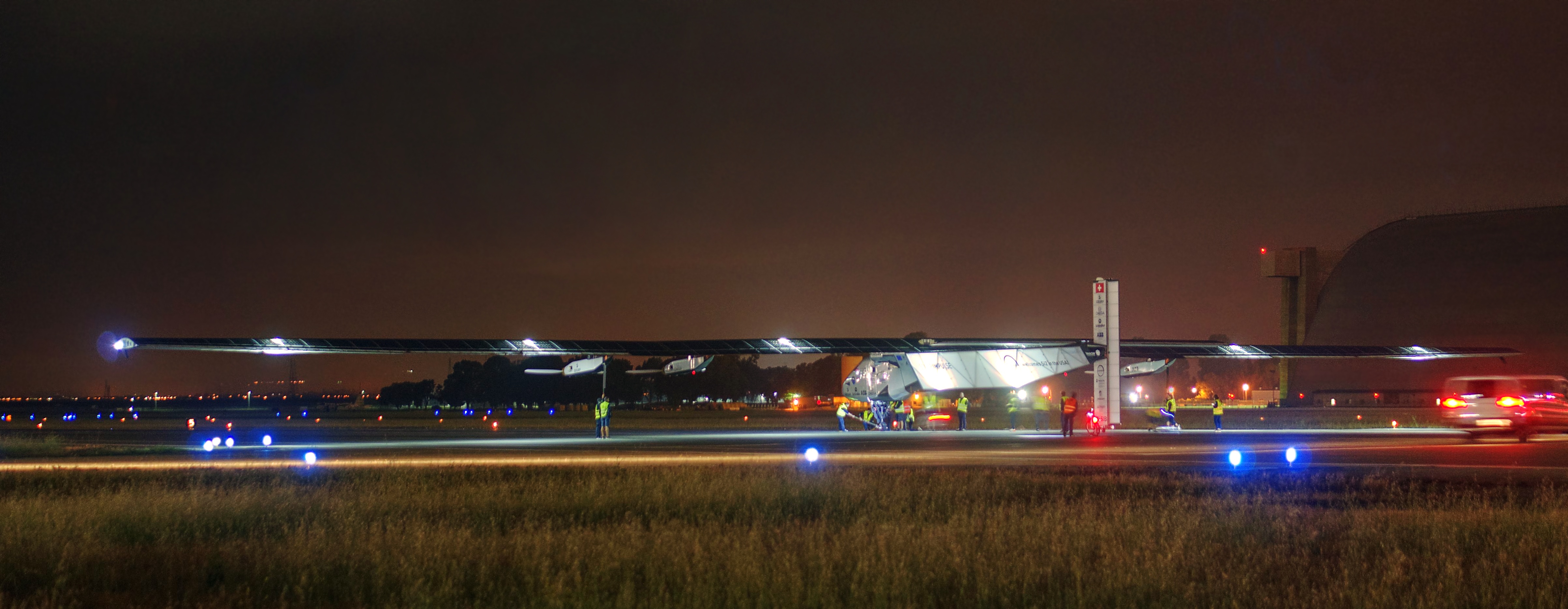
Solar Impulse taking off at Moffett Field for a historic flight around the world

CNT Engine 75

Luna-tic

IMG_1380 Let Me Feed You, Honey.

Heavenly Shades of Night are Falling -- Reprise

Fields of Gold

Home on the Farm

Heavenly shades of night are falling, it's twilight time ...
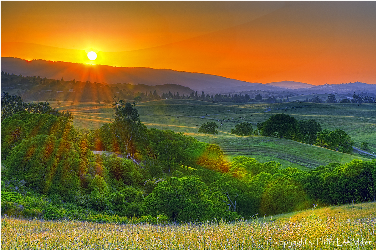
Skyline Sunrise

Closing Time

Gentle Afterglow

Shade and reflections
Trees and Rays
Morning Run by Bay Trail.

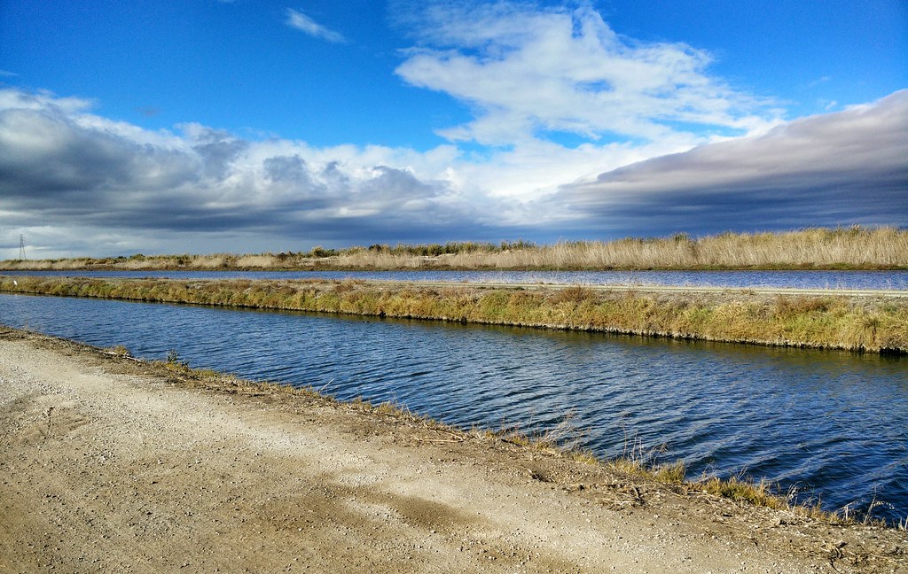
Alviso Blue Hour

Geese (HSS)
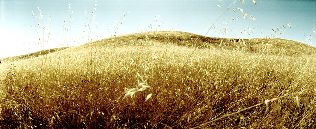
grassy hill

iPhoneography #84

Hello! I'm Western Meadowlark
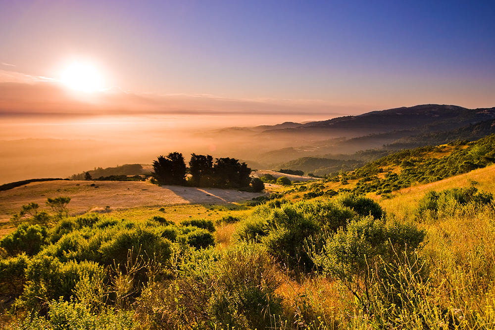
Golden State

après et avant le déluge | palo alto, ca
Disappearing Act
~~Alviso Twilight #2~~

Door of opportunities :)
Topographic Map of Ferne Ave, Palo Alto, CA, USA
Find elevation by address:

Places near Ferne Ave, Palo Alto, CA, USA:
Greenmeadow
Greendell School
37 San Antonio Rd
Charleston Gardens
2522 Alvin St
503 Victory Ave
The Greenhouse
Whits Road
4373 Miller Ave
The Crossings
Parker Street
3700 Carlson Cir
Fairmeadow
Monroe Park
Monta Loma
East Charleston Road & Alma Street
2434 Benjamin Dr
825 San Antonio Rd
2414 Benjamin Dr
3799 Lindero Dr
Recent Searches:
- Elevation of Lytham Ln, Katy, TX, USA
- Elevation of Tater Hill, Oklahoma, USA
- Elevation of NY-, Friendship, NY, USA
- Elevation of 64 Danakas Dr, Winnipeg, MB R2C 5N7, Canada
- Elevation of 4 Vale Rd, Sheffield S3 9QX, UK
- Elevation of Keene Point Drive, Keene Point Dr, Grant, AL, USA
- Elevation of State St, Zanesville, OH, USA
- Elevation of Austin Stone Dr, Haslet, TX, USA
- Elevation of Bydgoszcz, Poland
- Elevation of Bydgoszcz, Poland