Elevation of 37 San Antonio Rd, Mountain View, CA, USA
Location: United States > California > Santa Clara County > Mountain View >
Longitude: -122.10922
Latitude: 37.4074282
Elevation: 18m / 59feet
Barometric Pressure: 101KPa
Elevation Map:
Satellite Map:
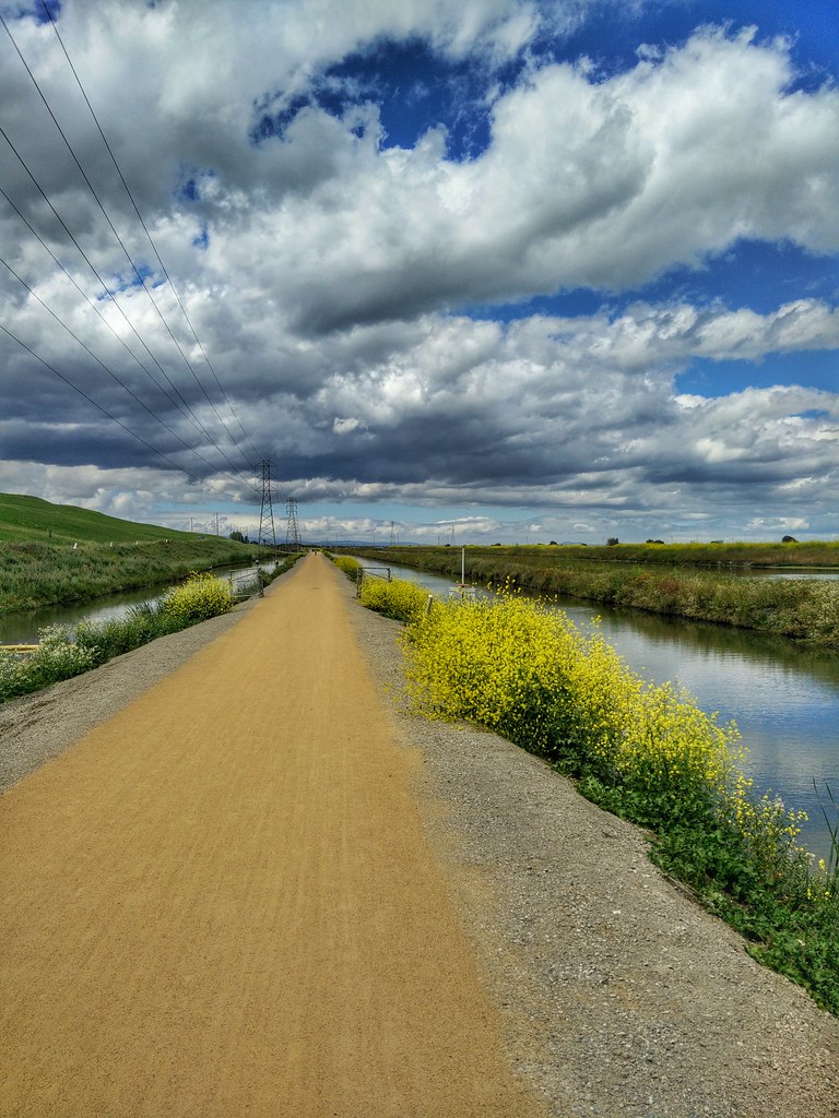
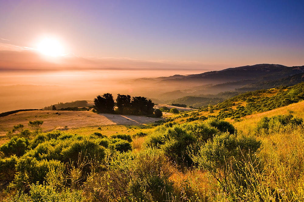
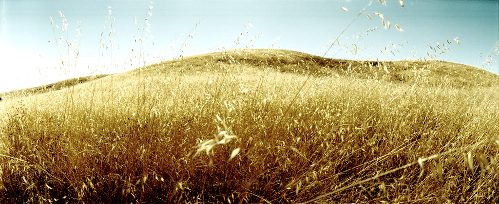
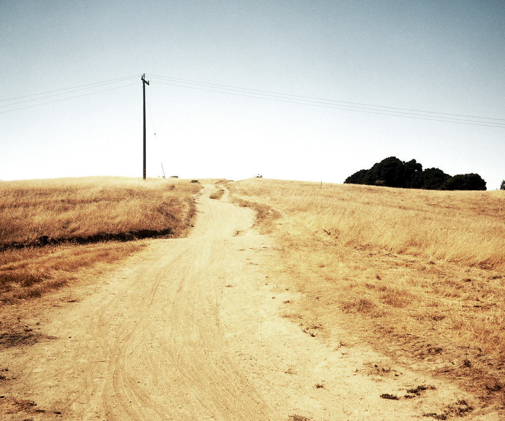
Related Photos:

Perfect view?

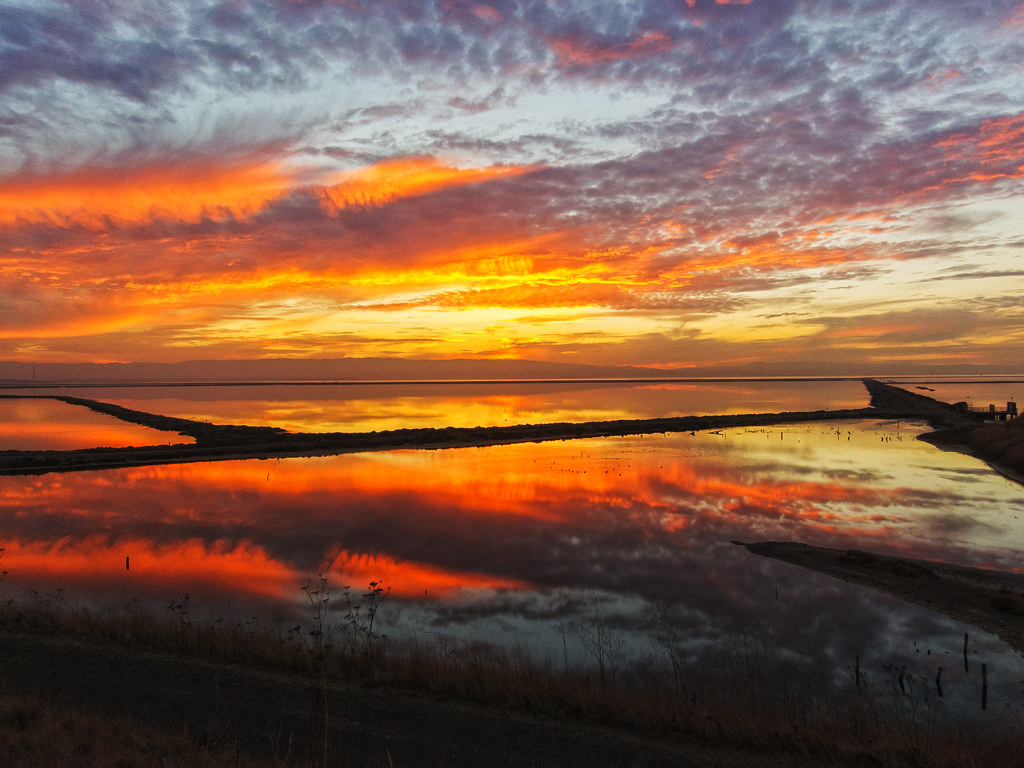
IMG_1380 Let Me Feed You, Honey.
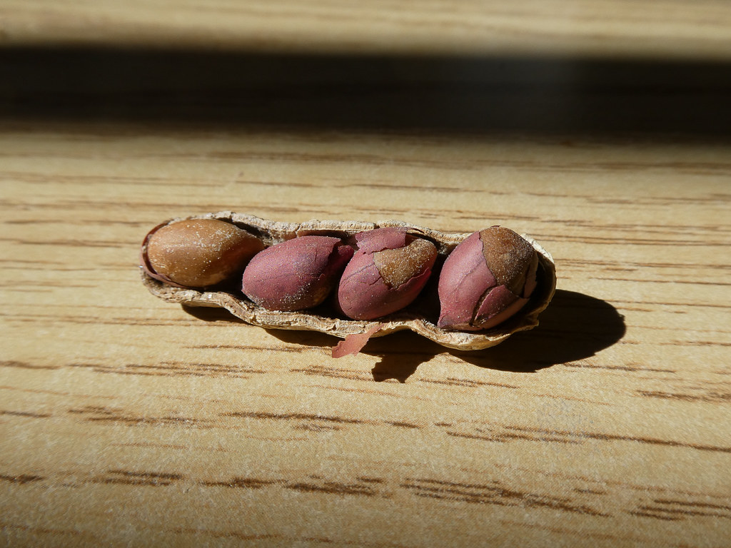
Four In One
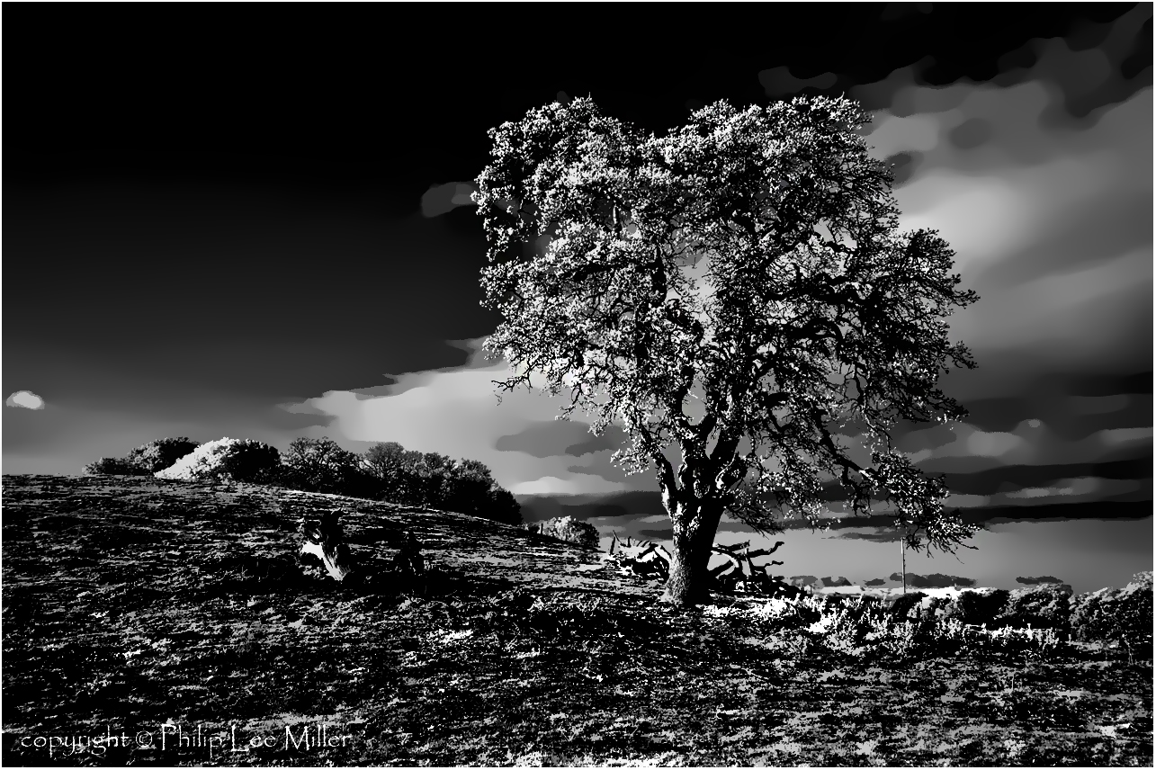
If Trees Could Talk

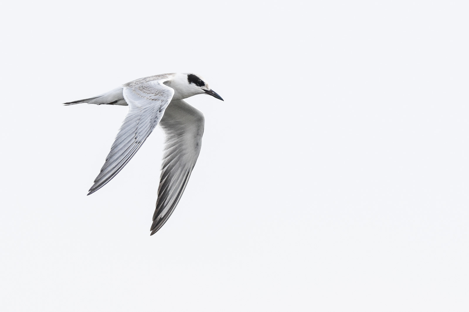
IMG_2314 Forster's Tern

What a cute kid :)

IMG_3580 Black-Crowned Night Heron

Eared Grebe with just a hint of the breeding plumage
Next To The Adobe

view from the Palo Alto hills down to the bay.

Mary Avenue Bridge
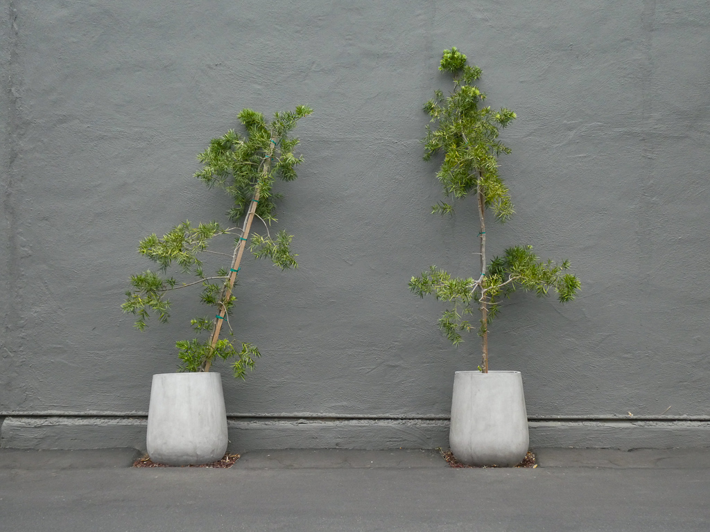
Two Potted Trees
Mud Hat

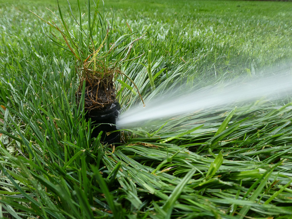
Fish On

Break Chairs
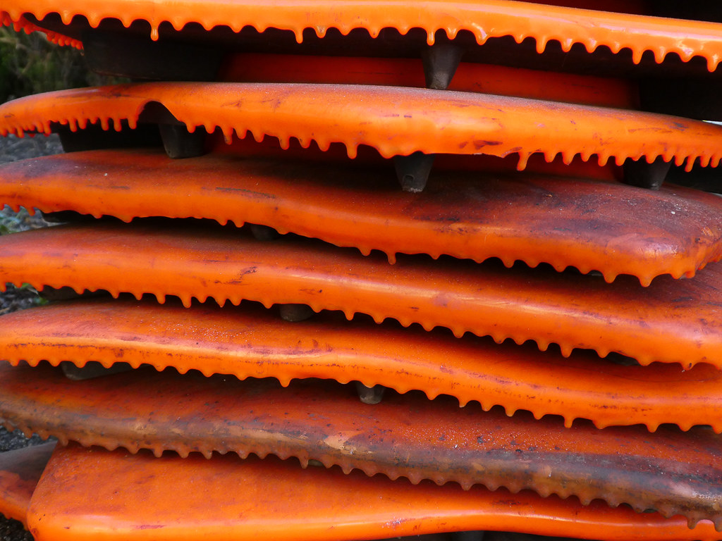
Cone Drips
Forster's Tern (1st year)

Northern Harrier-IMG_1671-MV baylands-Crop
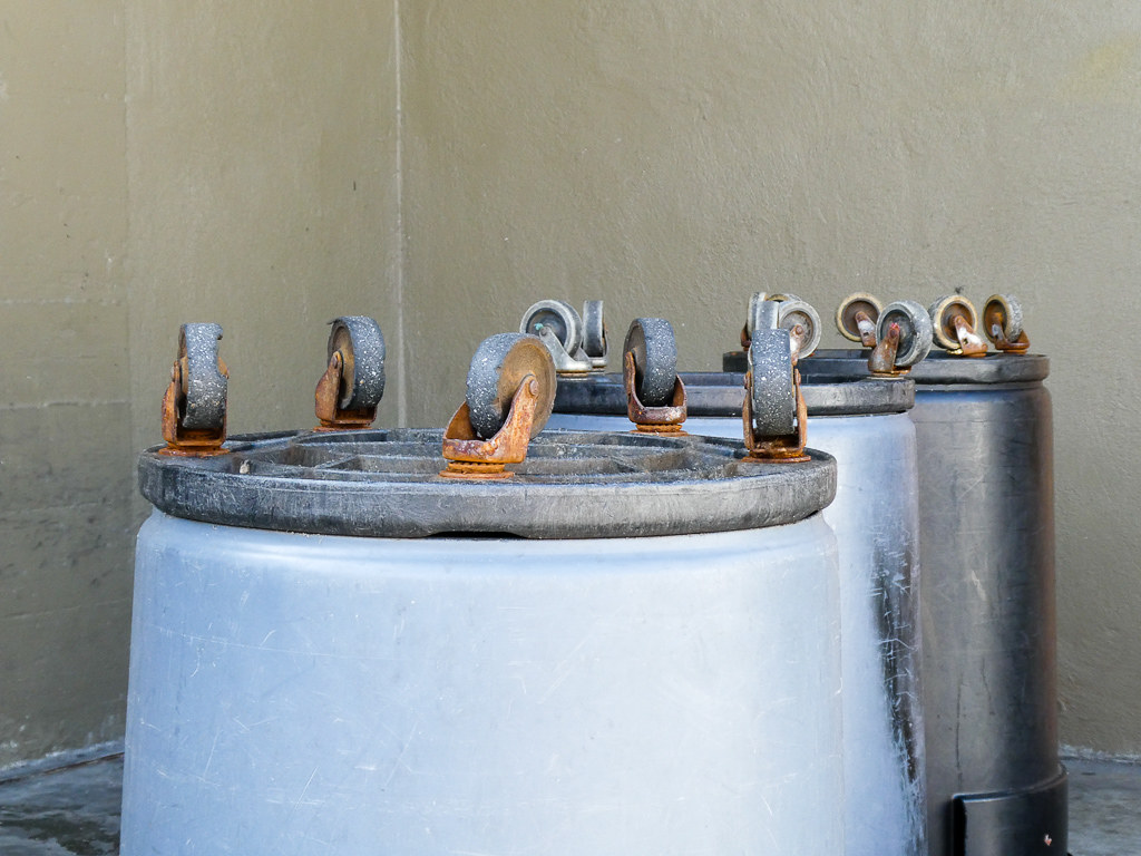
Wheels Up

DSC01246.JPG

IMG_6686 Great Egret, Mountain View Shoreline Park, CA

Heavenly shades of night are falling, it's twilight time ...

Heavenly Shades of Night are Falling -- Reprise

Fields of Gold

Door of opportunities :)

Home on the Farm

Arastradero Pasture

~~Garden of PEACE #2~~

Trail to Heaven
Yesterday afternoon stroll.
Skyline Sunrise

DSC00963.JPG

Alle Fotos-58

Closing Time
grassy hill

My Favorite Tree

April Skies | Palo Alto

Gentle Afterglow
trail uphill
No Name Trail

Stanford and Palo Alto

hwy 280
Topographic Map of 37 San Antonio Rd, Mountain View, CA, USA
Find elevation by address:

Places near 37 San Antonio Rd, Mountain View, CA, USA:
Whits Road
The Crossings
346 Ferne Ave
4373 Miller Ave
Monroe Park
Parker Street
Ortega Ave, Mountain View, CA, USA
Greenmeadow
Greendell School
2272 Towne Cir
2522 Alvin St
Monta Loma
142 College Ave
503 Victory Ave
2235 California St
2434 Benjamin Dr
2414 Benjamin Dr
East Charleston Road & Alma Street
1021 Vía Del Pozo
4275 Mckellar Ln
Recent Searches:
- Elevation of Congressional Dr, Stevensville, MD, USA
- Elevation of Bellview Rd, McLean, VA, USA
- Elevation of Stage Island Rd, Chatham, MA, USA
- Elevation of Shibuya Scramble Crossing, 21 Udagawacho, Shibuya City, Tokyo -, Japan
- Elevation of Jadagoniai, Kaunas District Municipality, Lithuania
- Elevation of Pagonija rock, Kranto 7-oji g. 8"N, Kaunas, Lithuania
- Elevation of Co Rd 87, Jamestown, CO, USA
- Elevation of Tenjo, Cundinamarca, Colombia
- Elevation of Côte-des-Neiges, Montreal, QC H4A 3J6, Canada
- Elevation of Bobcat Dr, Helena, MT, USA