Elevation of El Camino Real, Palo Alto, CA, USA
Location: United States > California > Santa Clara County > Palo Alto > Palo Alto Orchards >
Longitude: -122.12339
Latitude: 37.4098717
Elevation: 18m / 59feet
Barometric Pressure: 101KPa
Elevation Map:
Satellite Map:
Related Photos:

IMG_1380 Let Me Feed You, Honey.
Is this the world we created...?

IMG_5922 Forster's Tern Hovering, Mountain View Shoreline Park, California

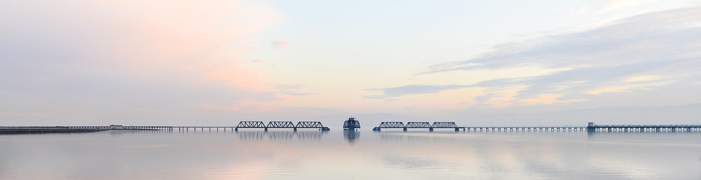
Mary Avenue Bridge

Bridging the gap

Closing Time

Crouching Tiger

Air Force One above downtown Sunnyvale, California

Magical Sparkles

"before I built a wall i'd ask to know what i was walling in or walling out" -robert frost

après et avant le déluge | palo alto, ca

Golden State

IMG_8090 Snowy Egret, Mountain View Shoreline Park, CA

Gnarled Oak
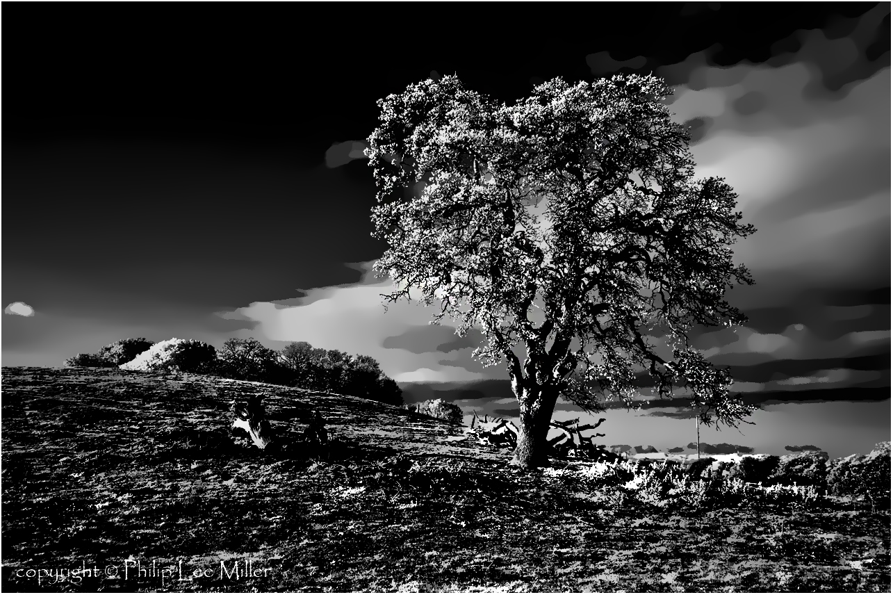
If Trees Could Talk

Into the Sunset (Highway 101)

California Coastal Fog (explored)
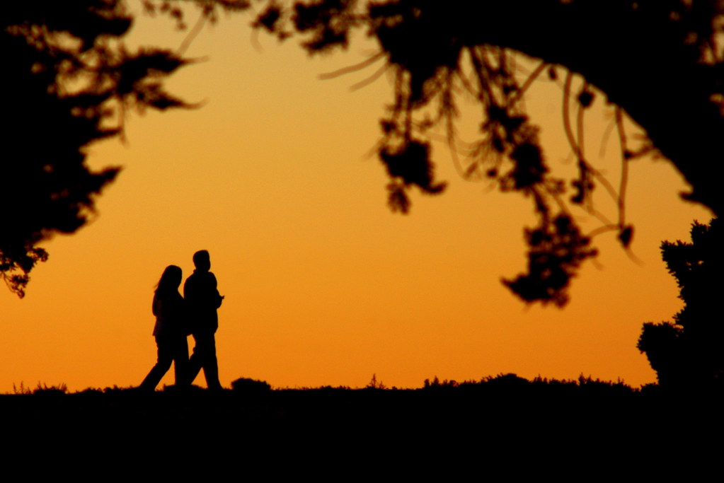
Evening Stroll
the gatekeeper

The best seat in the house
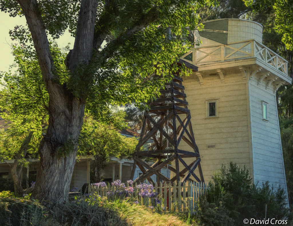
A Walk to Rengstorff House (circa 1867) (HFF)

Heavenly Shades of Night are Falling -- Reprise

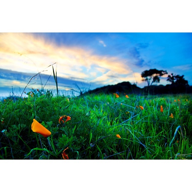
Fields of Gold

Home on the Farm

Heavenly shades of night are falling, it's twilight time ...

April Skies | Palo Alto

Trees and Rays

Geese (HSS)

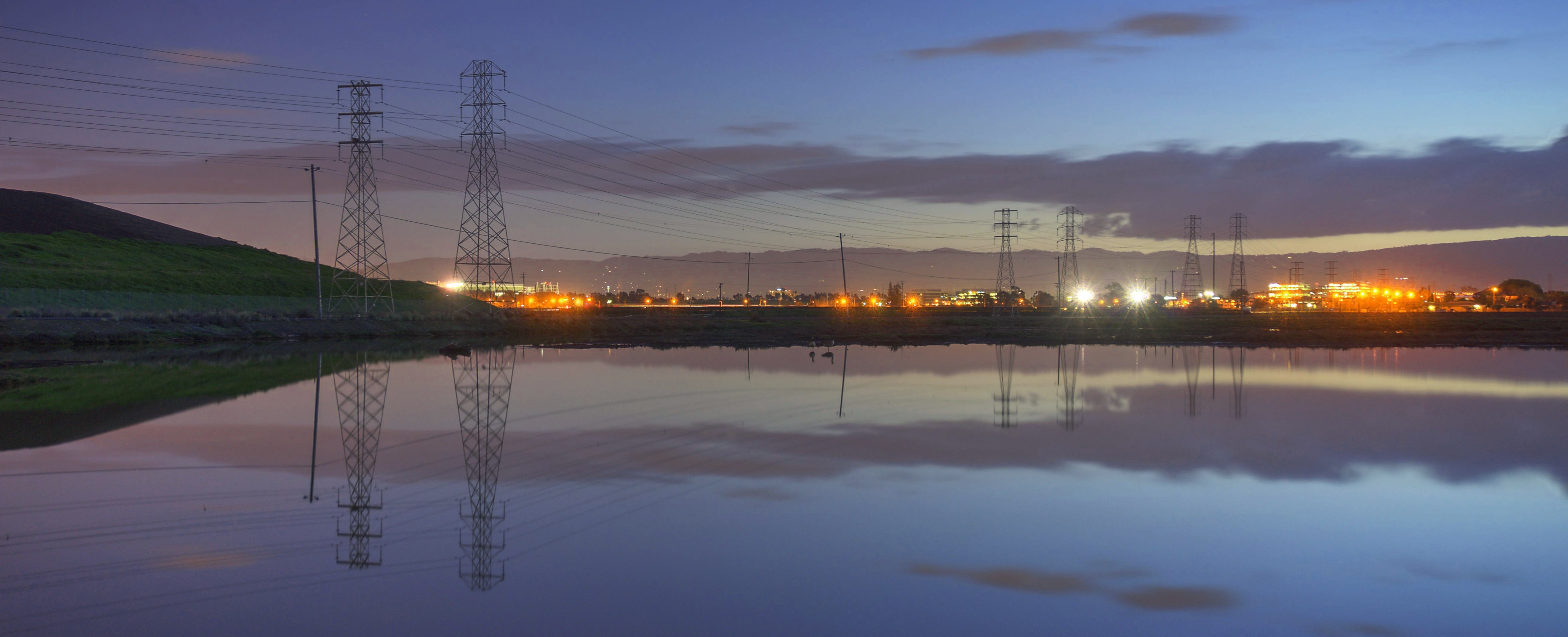
Alviso Blue Hour
Spring. #california #eastbay #instanature #grass #weed #donedwards #rei1440project #neverstopexploring #hike #nofilter #goldenhour #sunset #skysnappers

Momentary Lapse of Reason

Arastradero Pasture

My Favorite Tree

Door of opportunities :)

Trail to Heaven

DSC00963.JPG
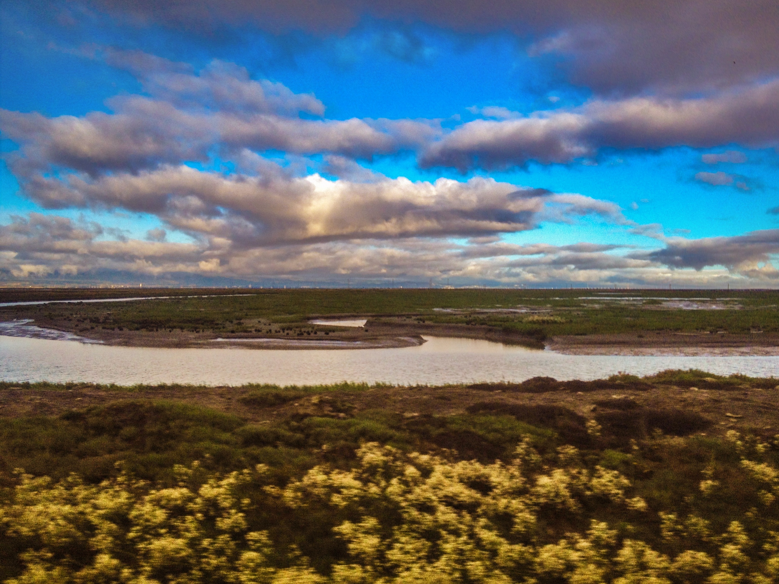
SF Bay
Topographic Map of El Camino Real, Palo Alto, CA, USA
Find elevation by address:

Places near El Camino Real, Palo Alto, CA, USA:
Palo Alto Orchards
4250 Mckellar Ln
4250 Mckellar Ln
4262 Mckellar Ln
4275 Mckellar Ln
Charleston Meadow
Monroe Park
East Charleston Road & Alma Street
Palo Alto, CA, USA
3799 Lindero Dr
3799 Lindero Dr
4373 Miller Ave
87 Roosevelt Cir
1021 Vía Del Pozo
3700 Carlson Cir
Fairmeadow
Greenmeadow
St. Claire Gardens
37 San Antonio Rd
346 Ferne Ave
Recent Searches:
- Elevation of Keene Point Drive, Keene Point Dr, Grant, AL, USA
- Elevation of State St, Zanesville, OH, USA
- Elevation of Austin Stone Dr, Haslet, TX, USA
- Elevation of Bydgoszcz, Poland
- Elevation of Bydgoszcz, Poland
- Elevation of Calais Dr, Del Mar, CA, USA
- Elevation of Placer Mine Ln, West Jordan, UT, USA
- Elevation of E 63rd St, New York, NY, USA
- Elevation of Elk City, OK, USA
- Elevation of Erika Dr, Windsor, CA, USA