Elevation of Mann Creek Rd, Weiser, ID, USA
Location: United States > Idaho > Washington County > Weiser >
Longitude: -116.84962
Latitude: 44.2791465
Elevation: 735m / 2411feet
Barometric Pressure: 93KPa
Elevation Map:
Satellite Map:
Related Photos:
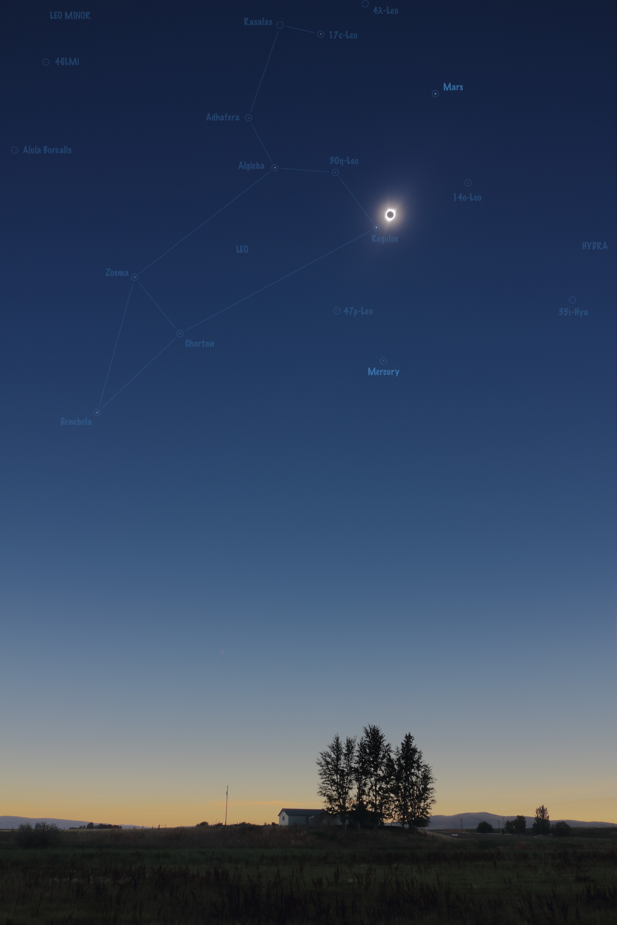
15 Stars and 2 Planets during the August 2017 Total Solar Eclipse - Annotated Version

15 Stars and 2 Planets during the August 2017 Total Solar Eclipse

State Street - Weiser, Idaho
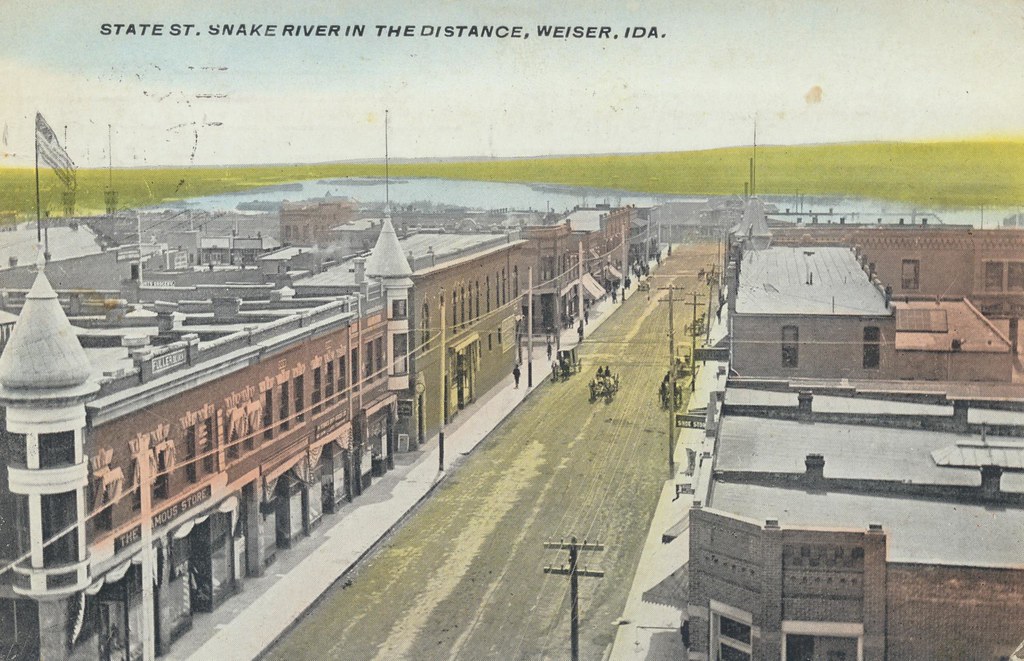
State Street - Weiser, Idaho
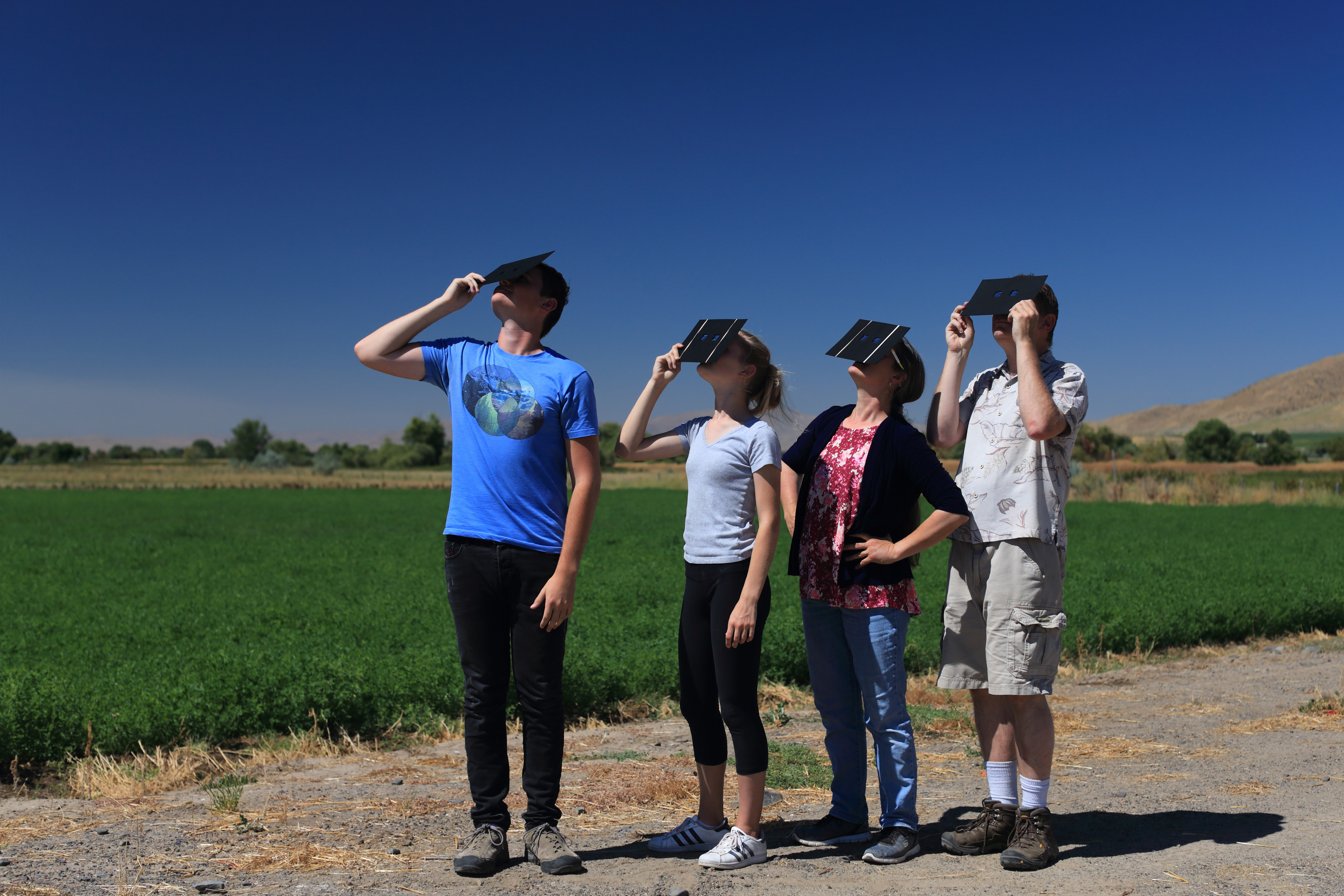
Viewing the Sun

Total eclipse corona
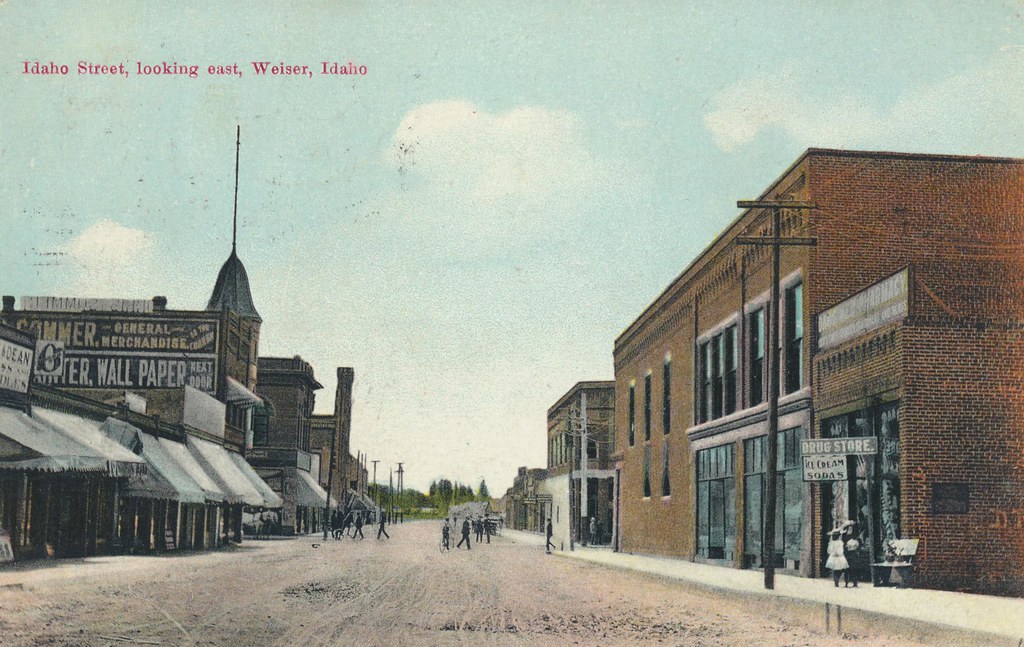
Idaho Street, Looking East - Weiser, Idaho

Telephoto view from Midvale rest stop Idaho Highway 95 160706-125544 C4e
View from Midvale rest stop Highway 95 Idaho 160706-125612 C4
Bird with grasshopper in mouth at a distance Midvale Rest Stop Highway 95 Idaho 160706-125915 C4V
Indianhead Rd, Weiser, ID #3

Indianhead Rd, Weiser, ID #1

Mann Creek Reservoir, ID
Idaho to East from Midvale Hill rest area 150621-071831 C4
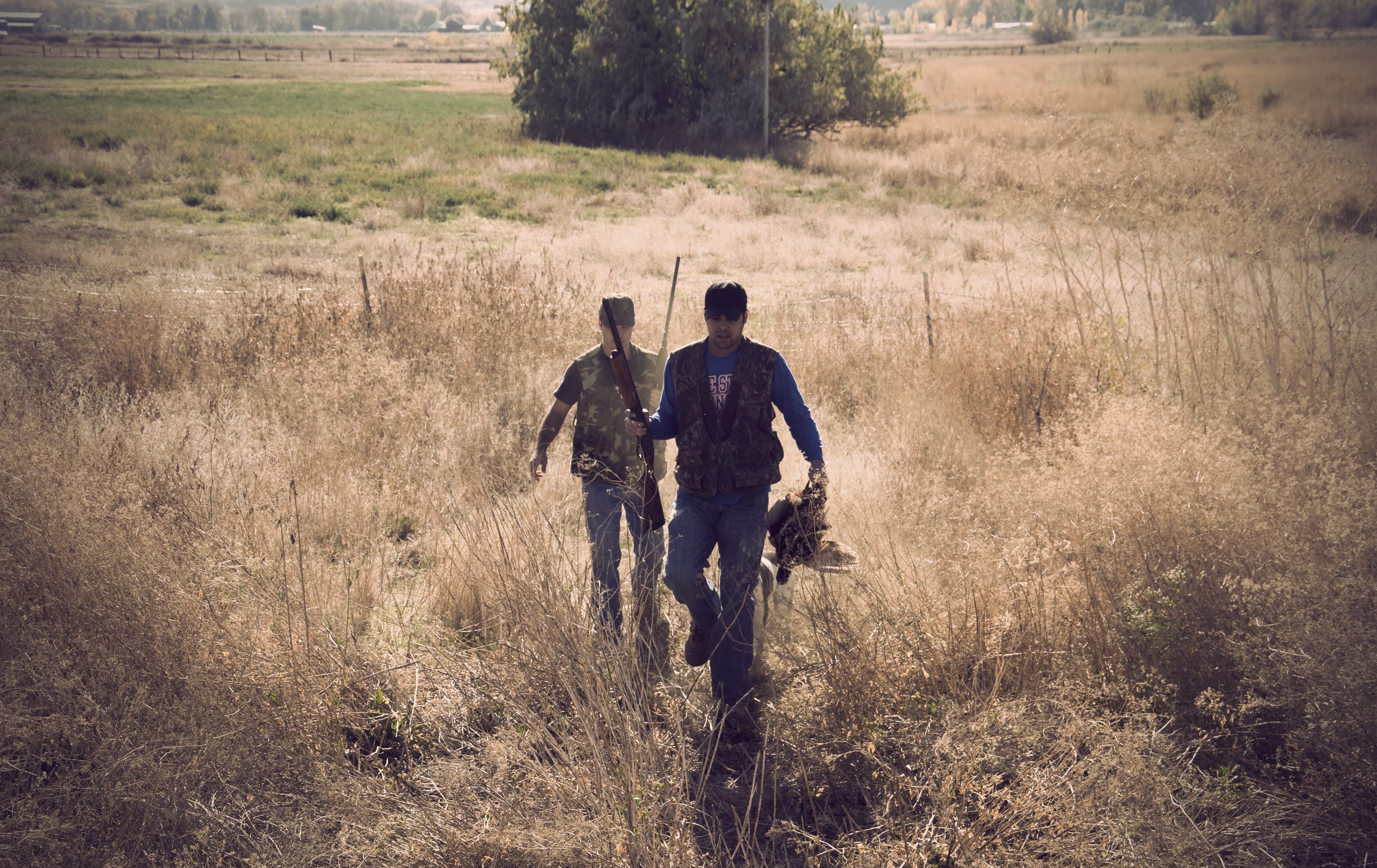
Returning with the Kill
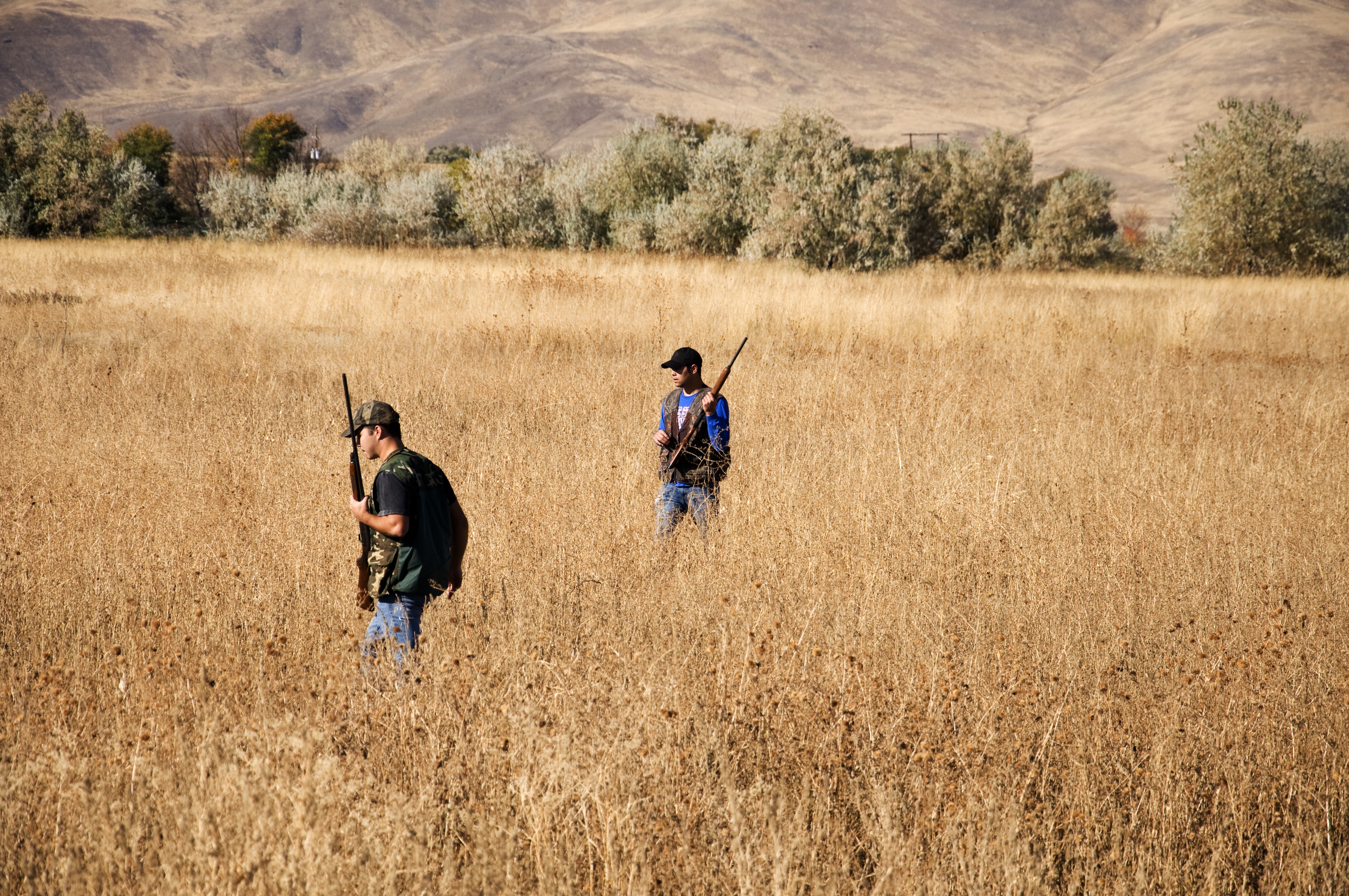
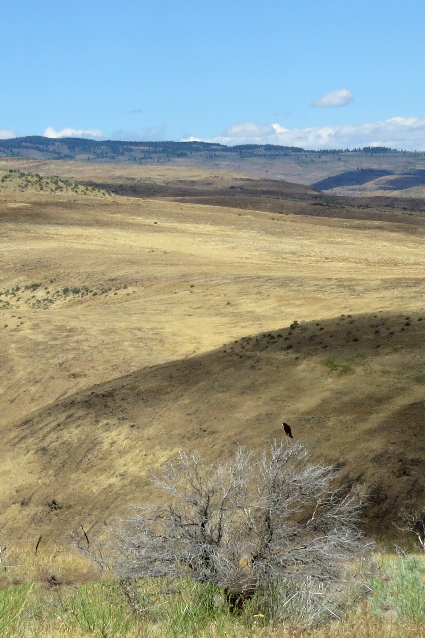
Looking for the Kill
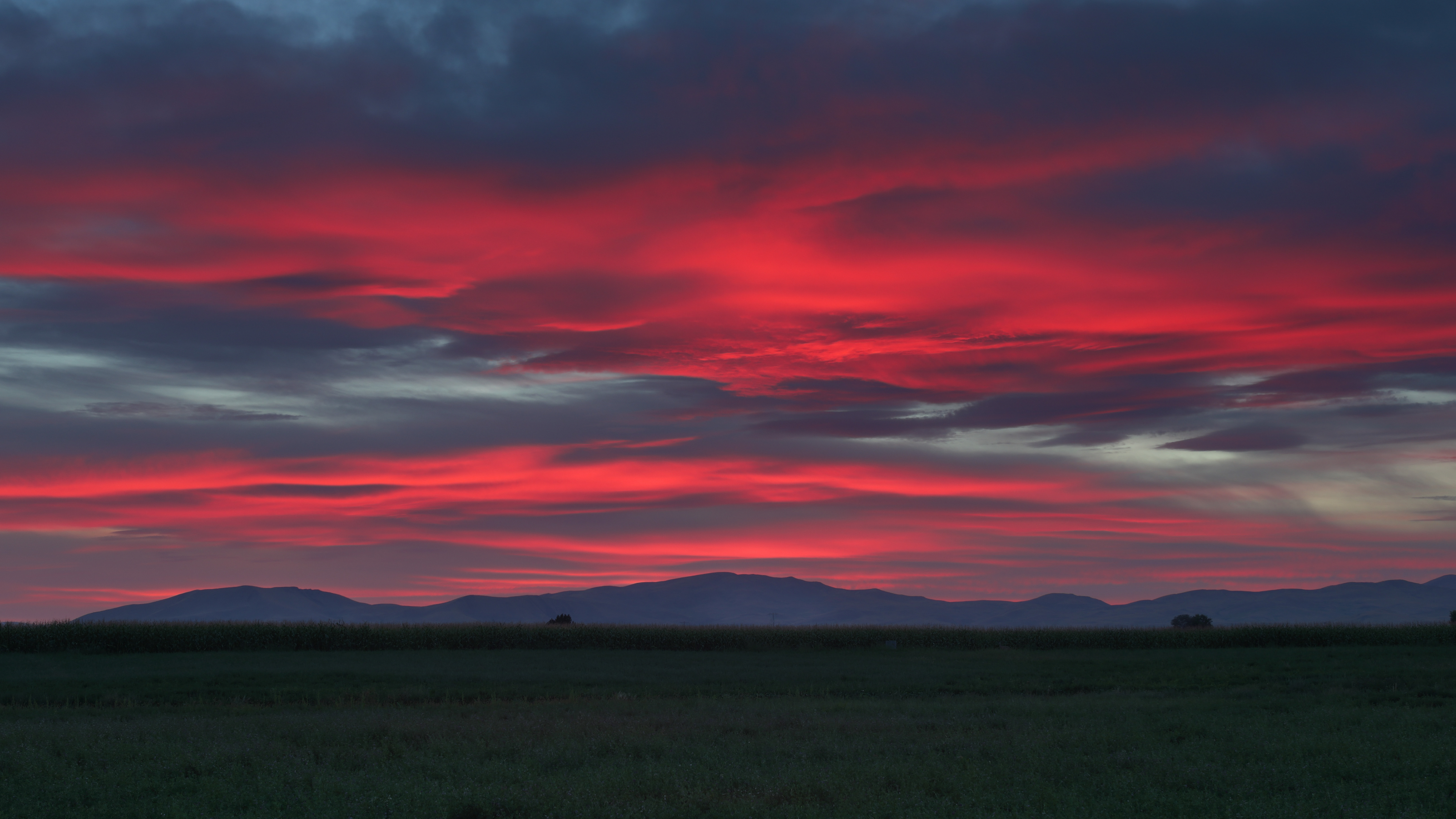
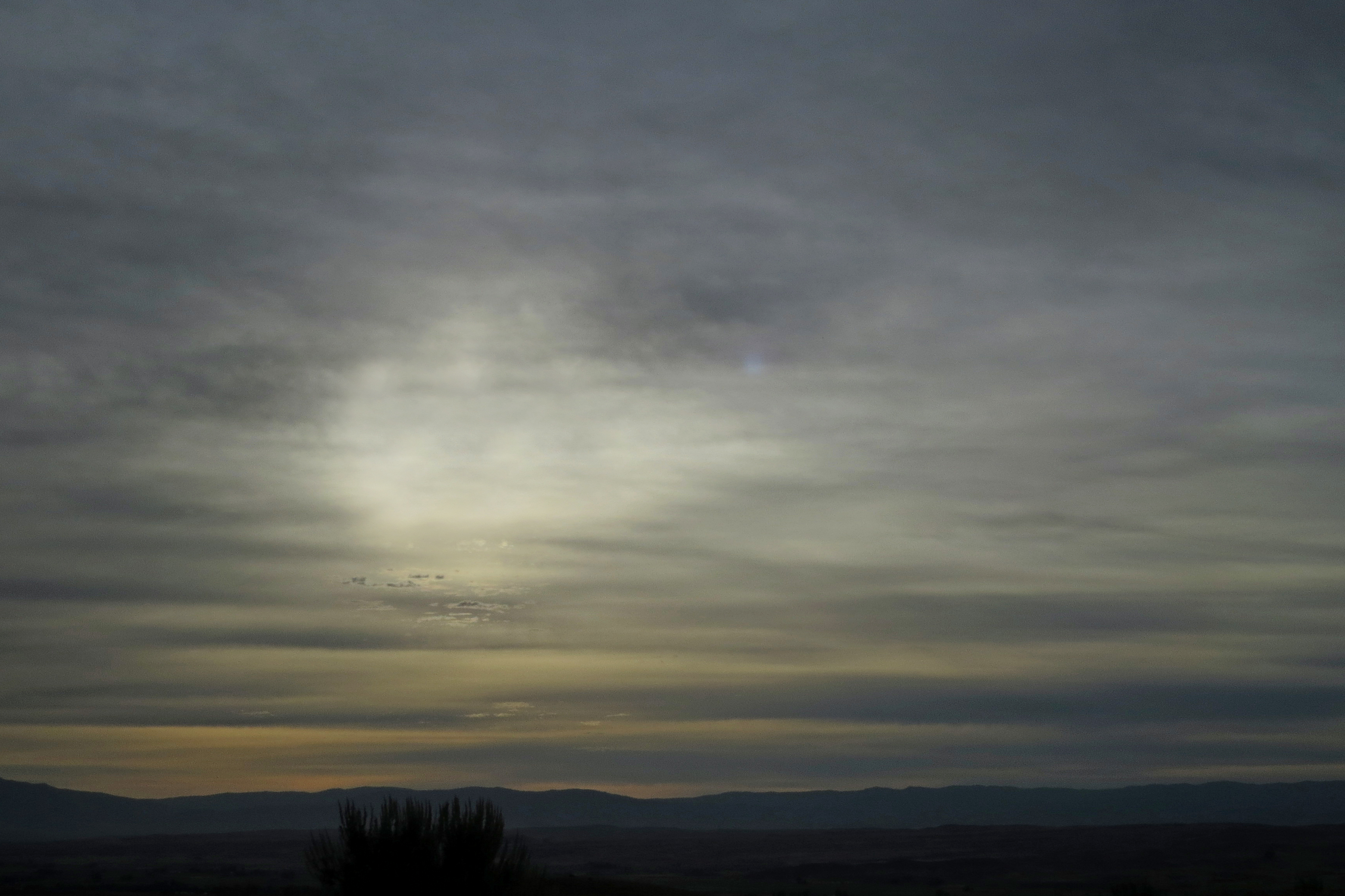
Candy-Colored Sunset in Weiser, Idaho
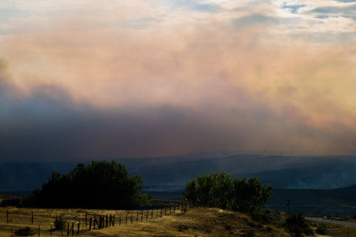
Smoke Rises above the Forests in Central Idaho
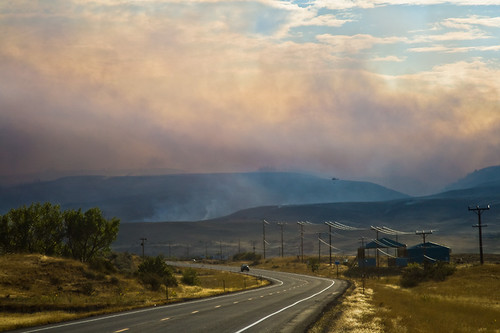
Smoke Rises above the Forests in Central Idaho

Steve with Pheasant

On the Hunt
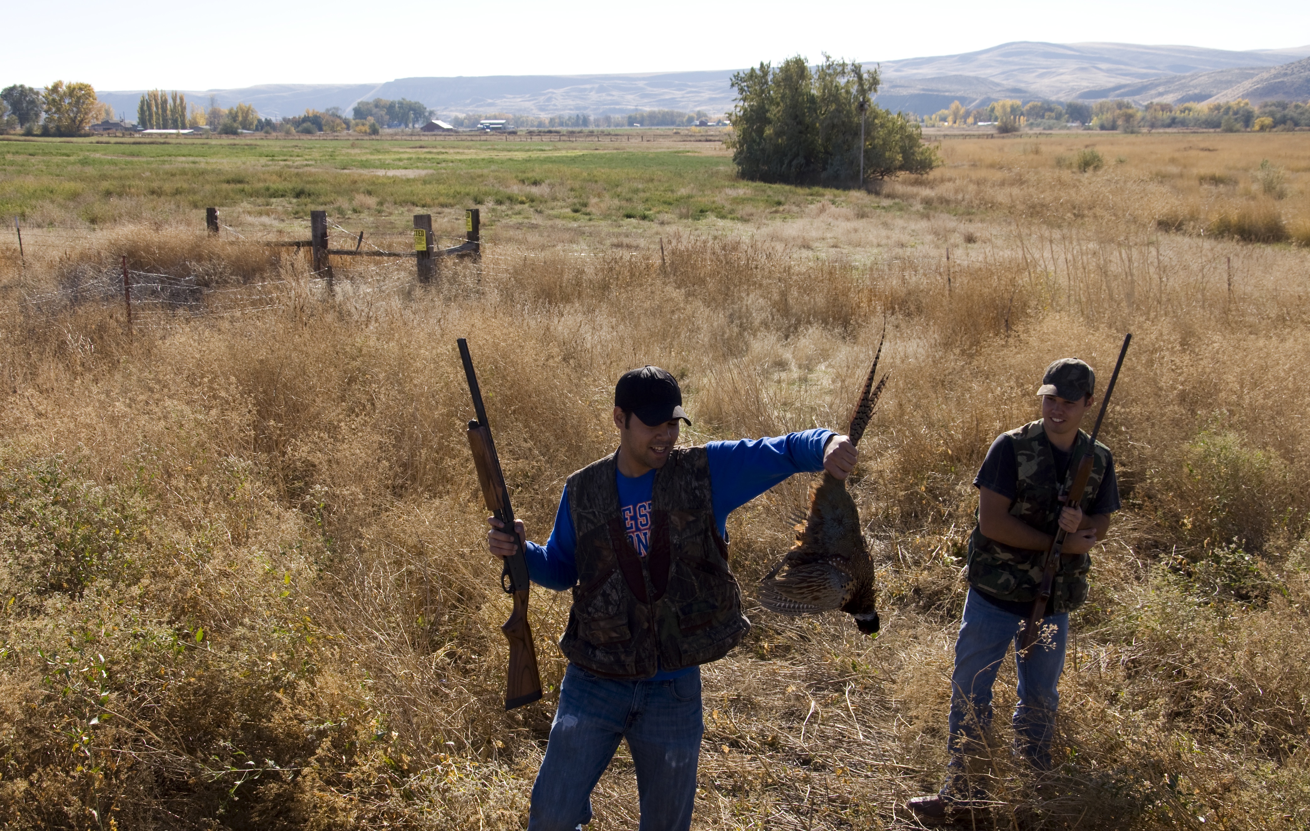
Pheasant Hunting
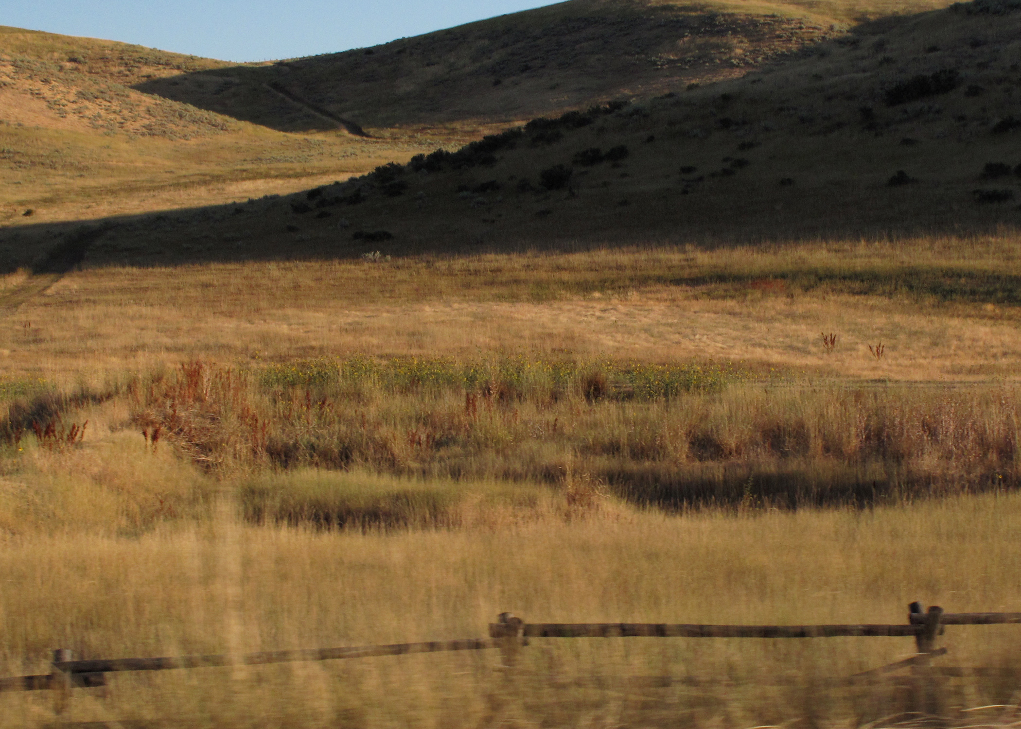
Autumn is coming
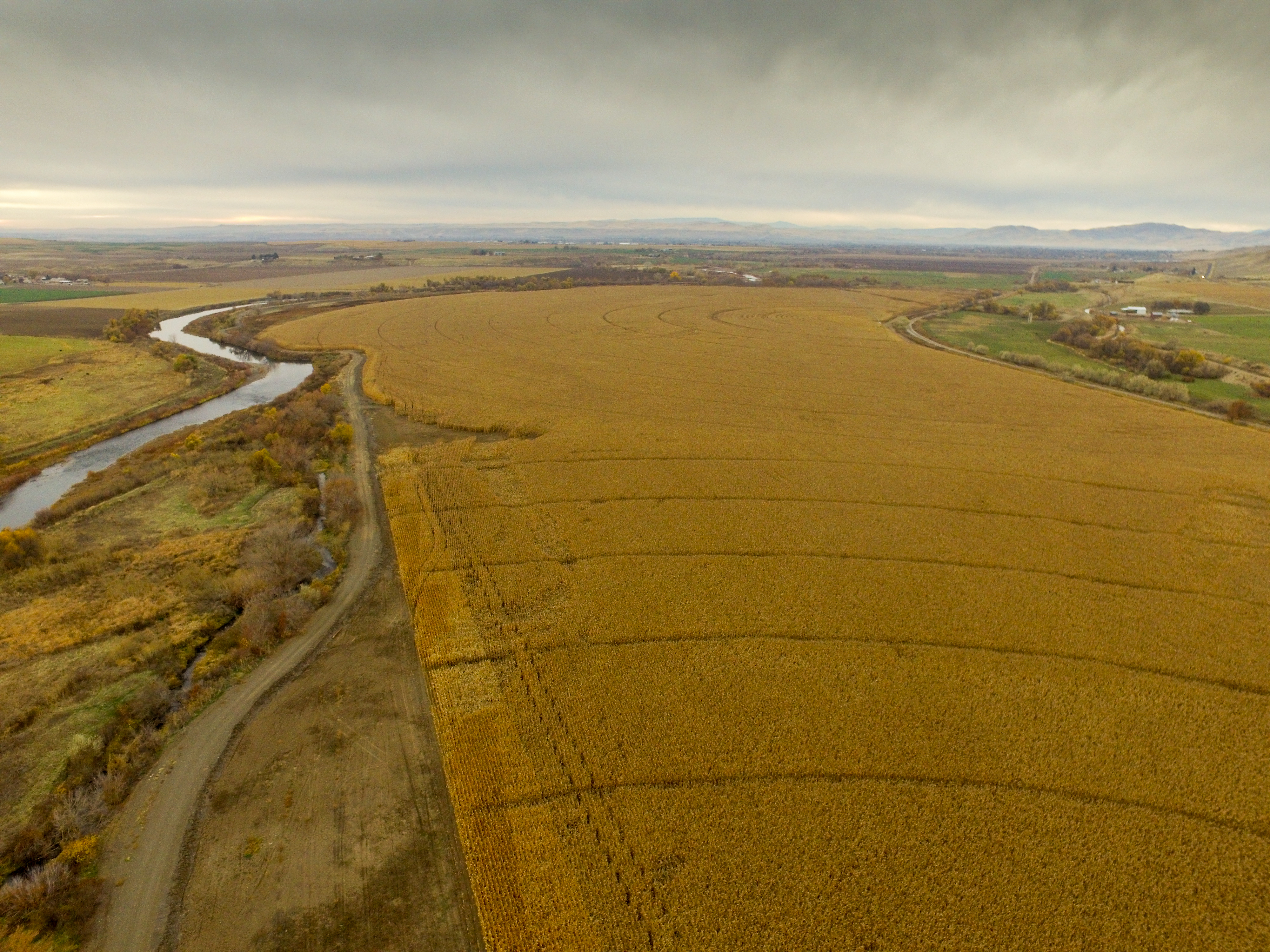
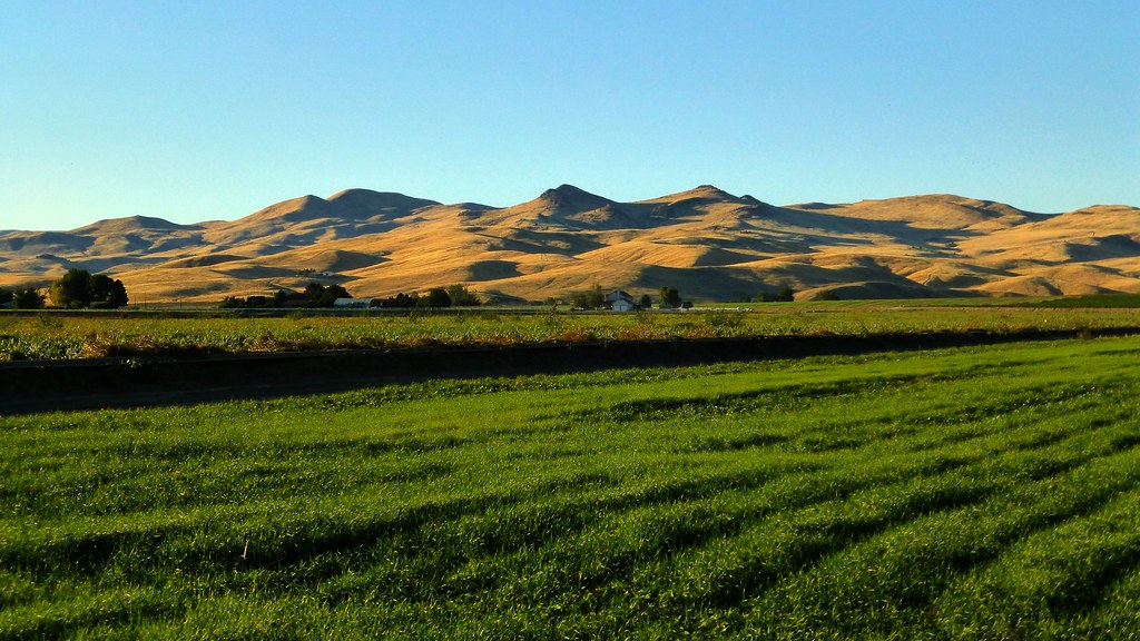
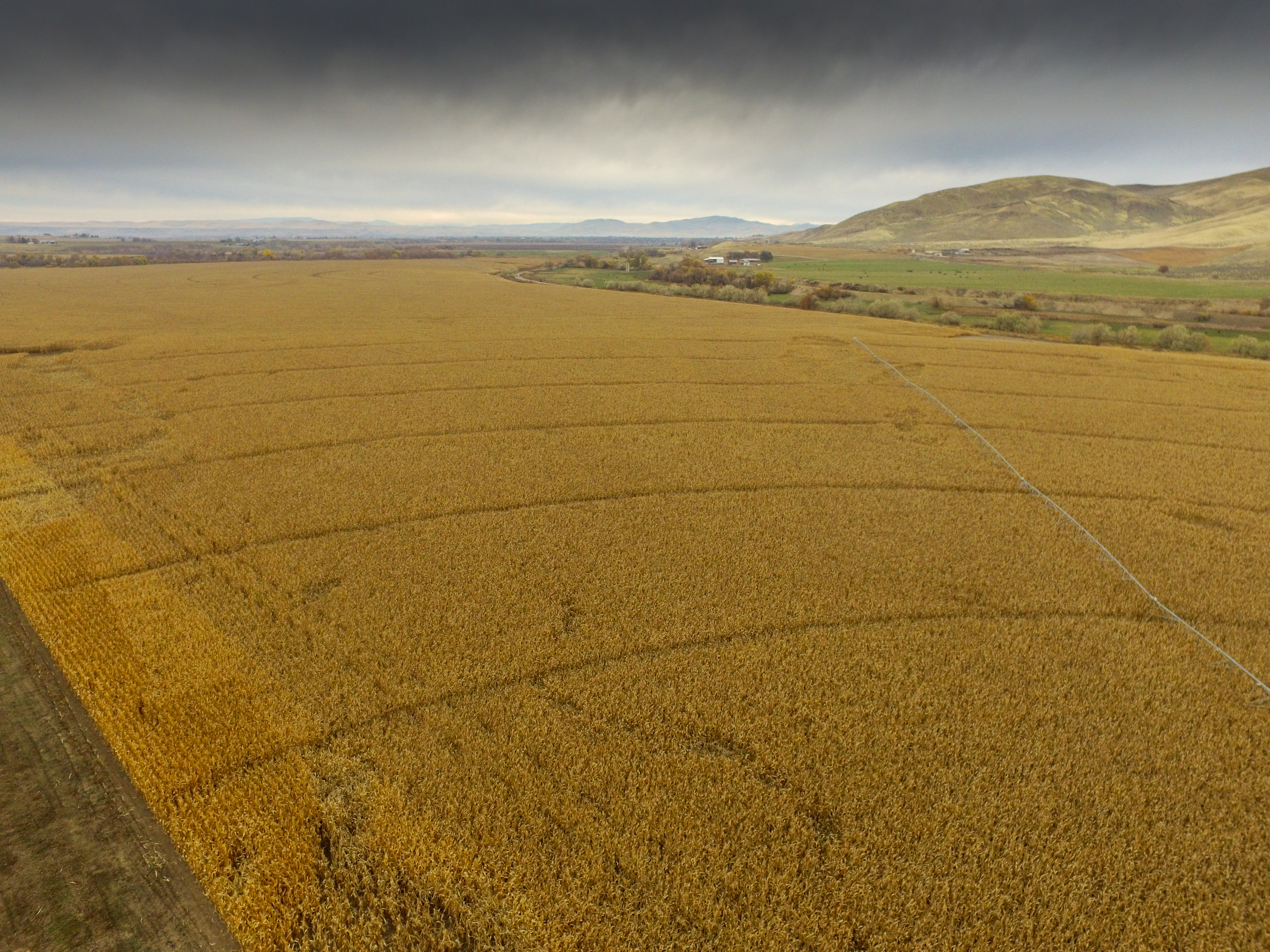
Kerner Farm Corn
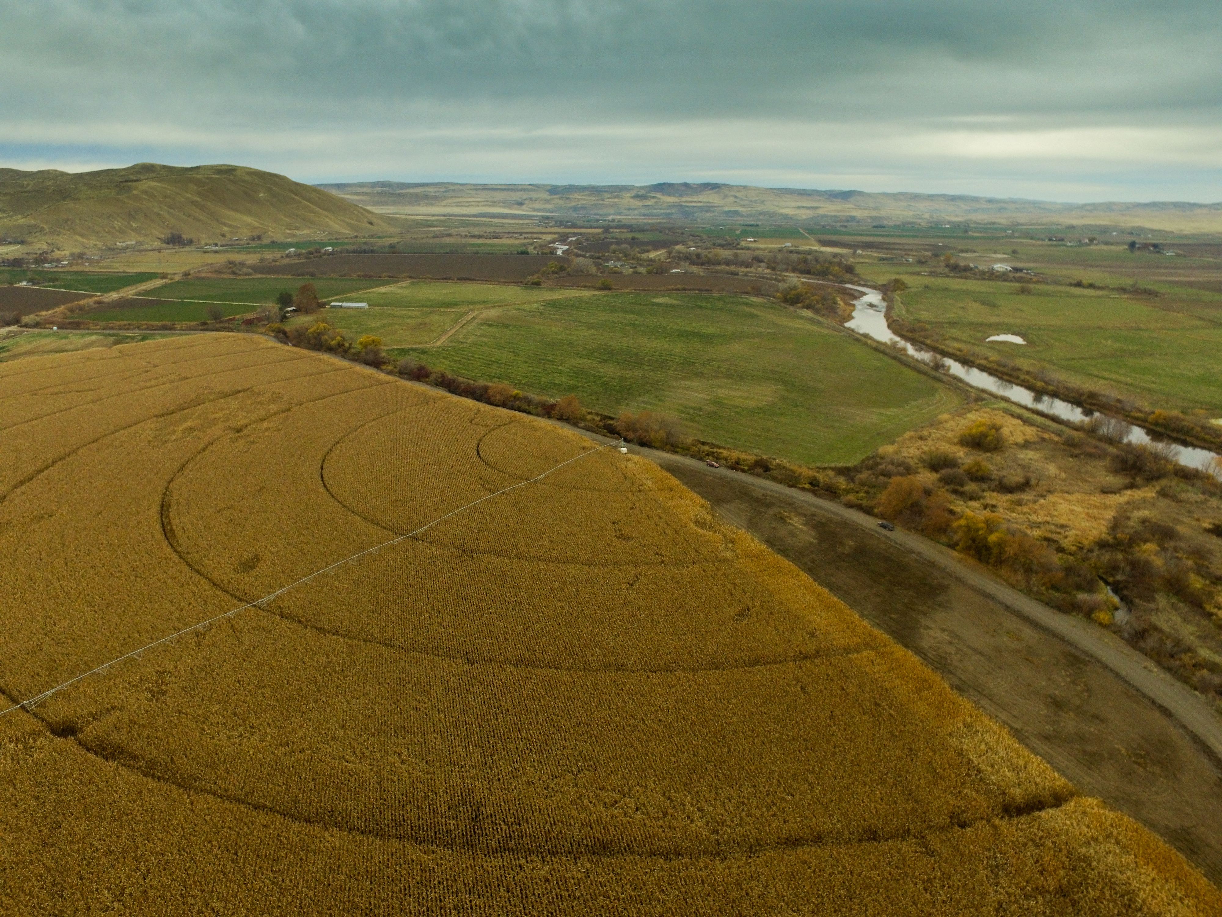
Kerner Farm Corn
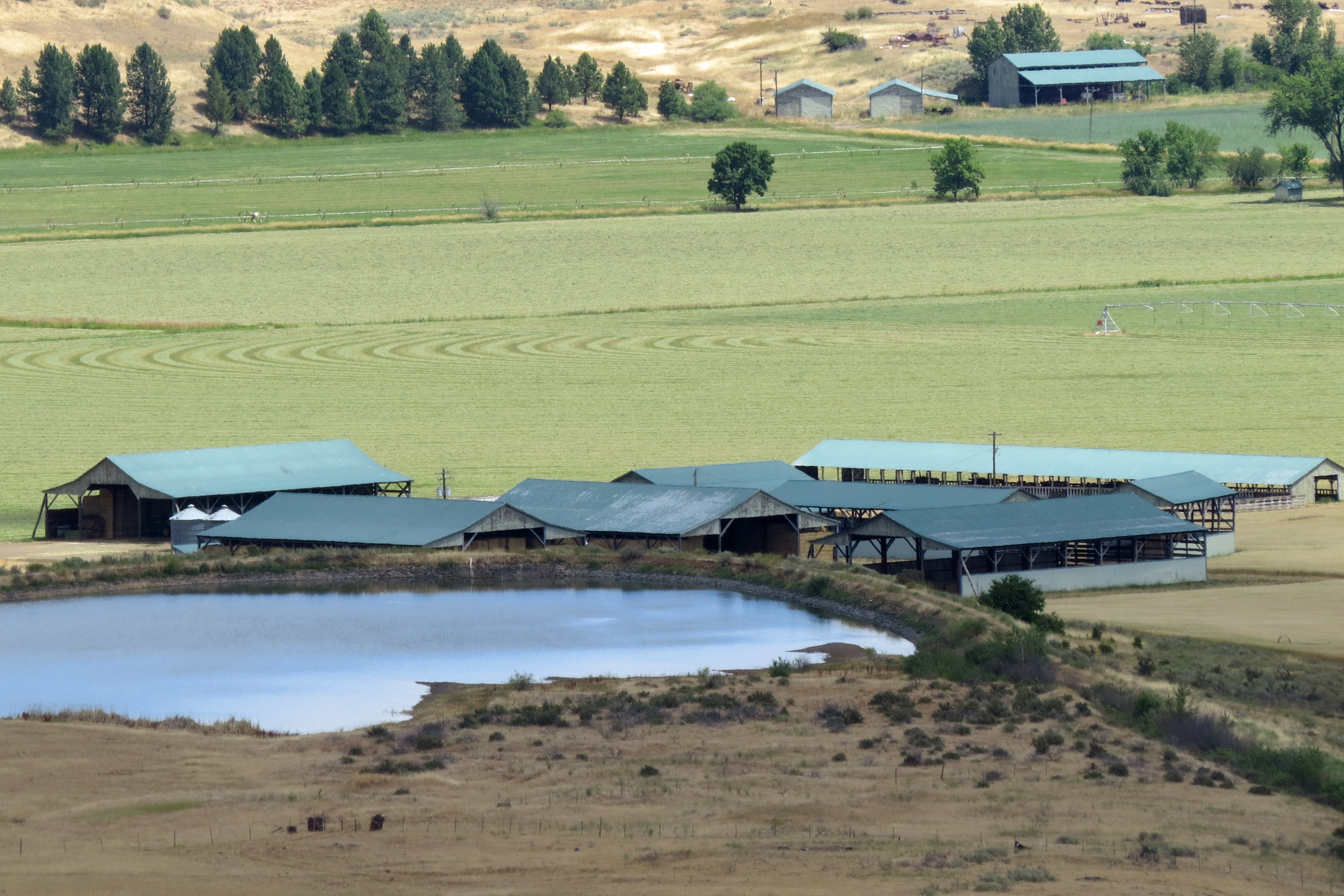
Kerner Farm

looking NW
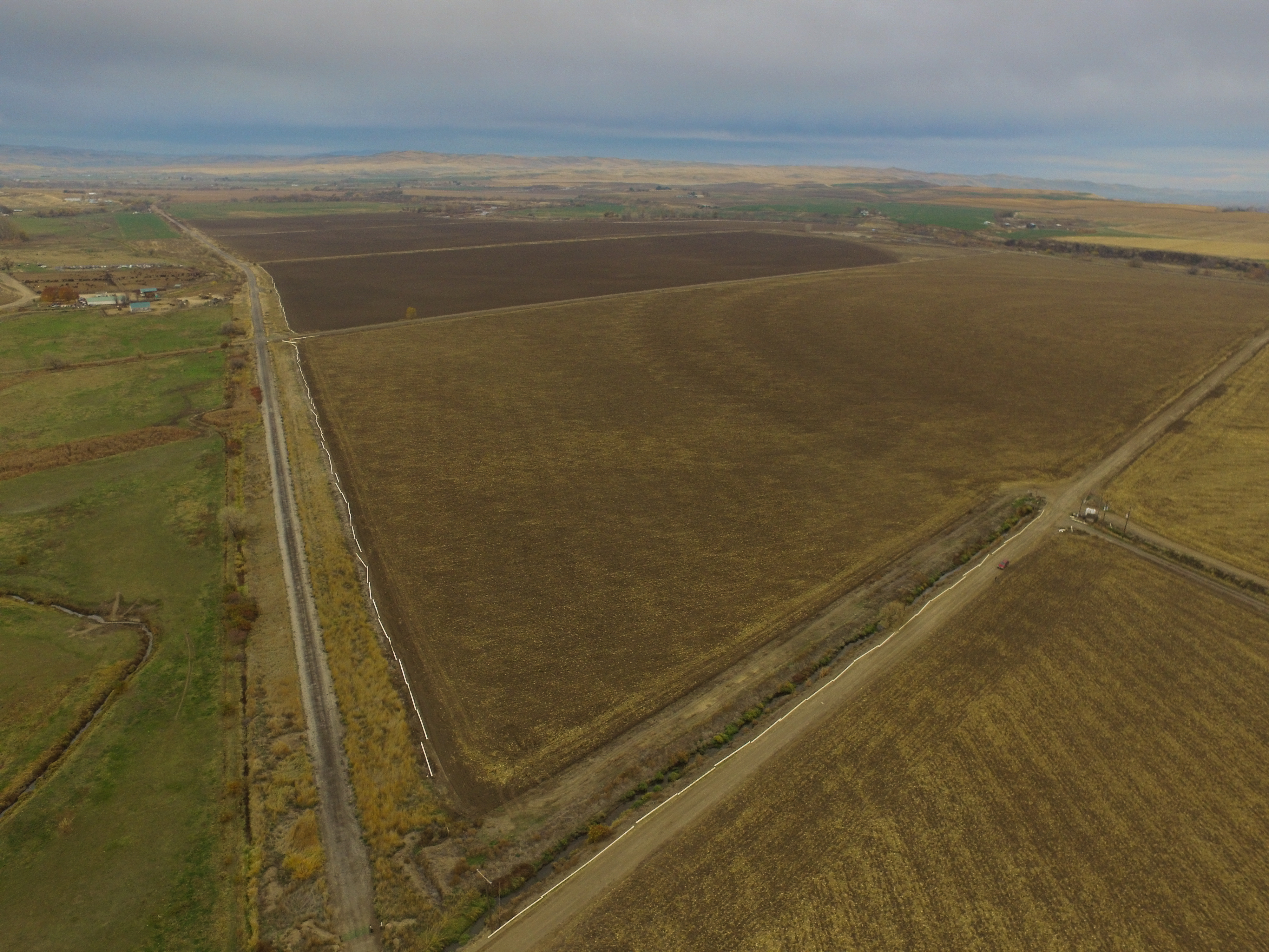
Looking SW
Topographic Map of Mann Creek Rd, Weiser, ID, USA
Find elevation by address:

Places near Mann Creek Rd, Weiser, ID, USA:
1326 Mann Creek Rd
2235 Cove Rd
Cahill Ln, Weiser, ID, USA
Weiser
Washington County
1595 W 7th St
River Rd, Payette, ID, USA
1098 Rock Creek Rd
1120 N 6th St
Manser Dr, Payette, ID, USA
Payette
4655 Hyline Rd
Midvale
Keithly Creek Road
770 River Bend Ln
927 Conductor Rd
Conductor Rd, Huntington, OR, USA
NW 16th St, Fruitland, ID, USA
2317 Nw 11th St
Ontario Heights Rd, Ontario, OR, USA
Recent Searches:
- Elevation of Elwyn Dr, Roanoke Rapids, NC, USA
- Elevation of Congressional Dr, Stevensville, MD, USA
- Elevation of Bellview Rd, McLean, VA, USA
- Elevation of Stage Island Rd, Chatham, MA, USA
- Elevation of Shibuya Scramble Crossing, 21 Udagawacho, Shibuya City, Tokyo -, Japan
- Elevation of Jadagoniai, Kaunas District Municipality, Lithuania
- Elevation of Pagonija rock, Kranto 7-oji g. 8"N, Kaunas, Lithuania
- Elevation of Co Rd 87, Jamestown, CO, USA
- Elevation of Tenjo, Cundinamarca, Colombia
- Elevation of Côte-des-Neiges, Montreal, QC H4A 3J6, Canada