Elevation of Hyline Rd, Ontario, OR, USA
Location: United States > Oregon > Malheur County > Ontario >
Longitude: -116.98785
Latitude: 44.105963
Elevation: 710m / 2329feet
Barometric Pressure: 93KPa
Elevation Map:
Satellite Map:
Related Photos:
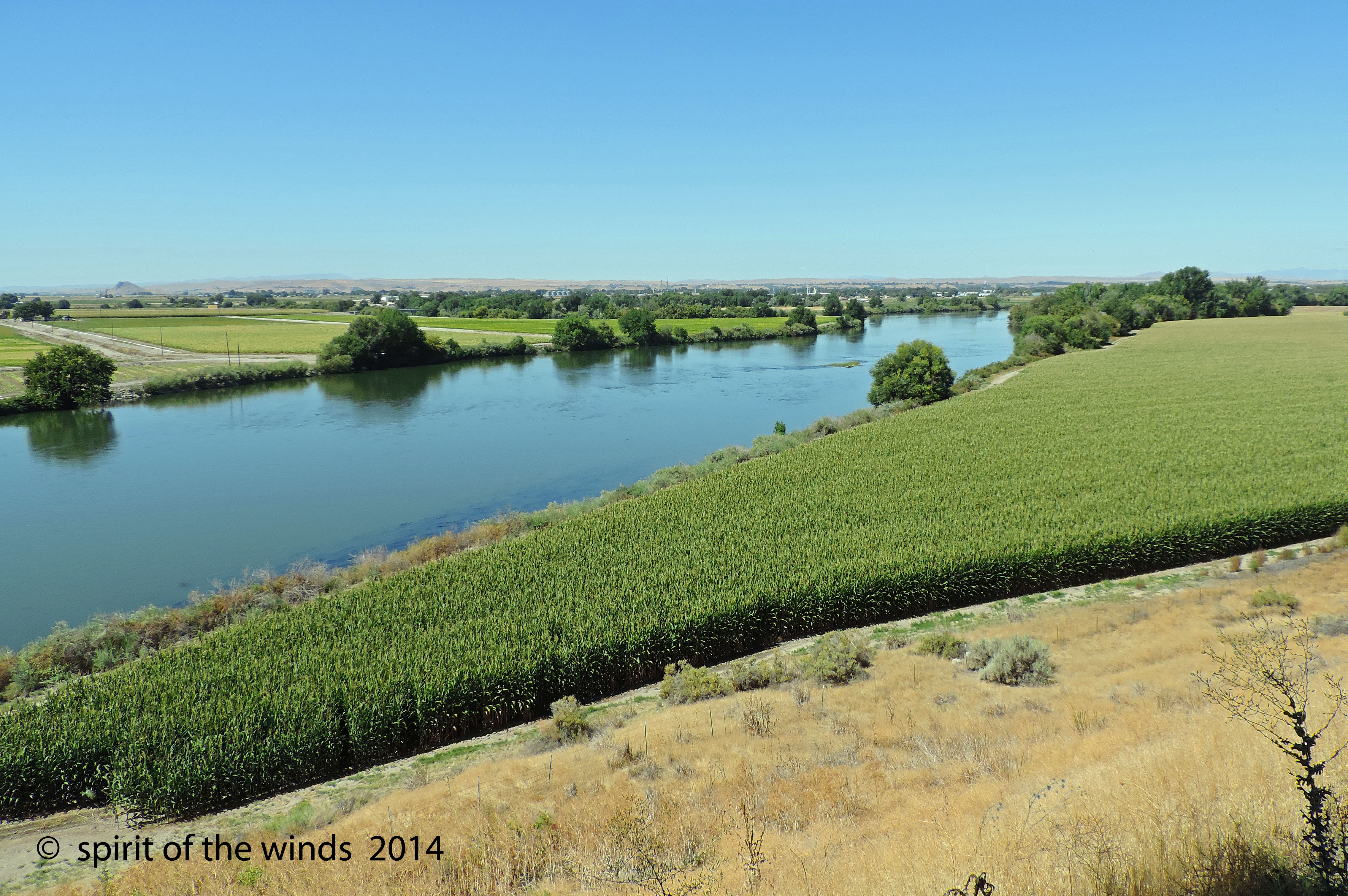
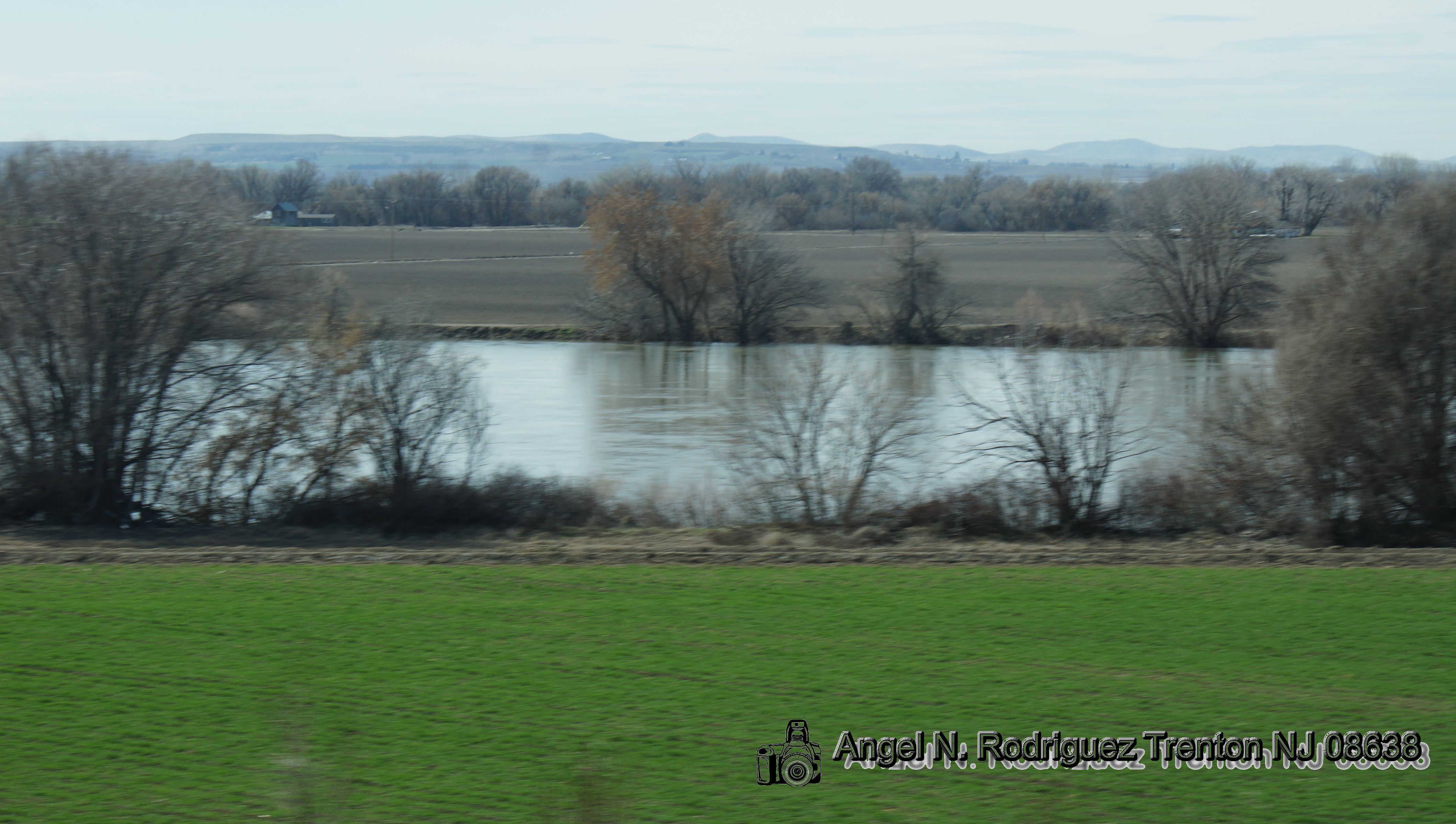
The Snake River

State Street - Weiser, Idaho
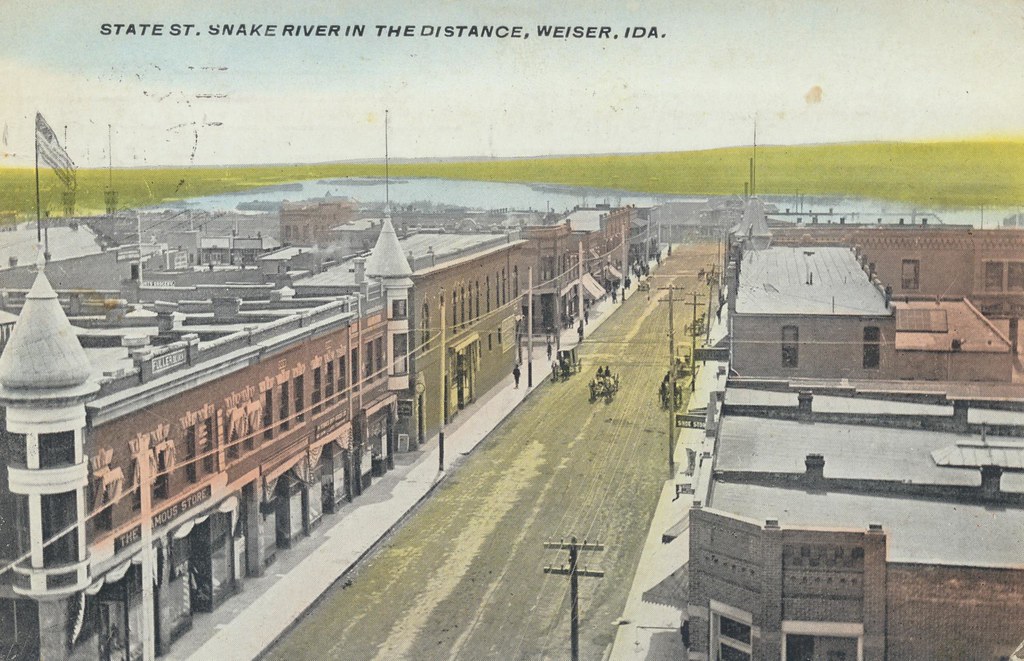
State Street - Weiser, Idaho
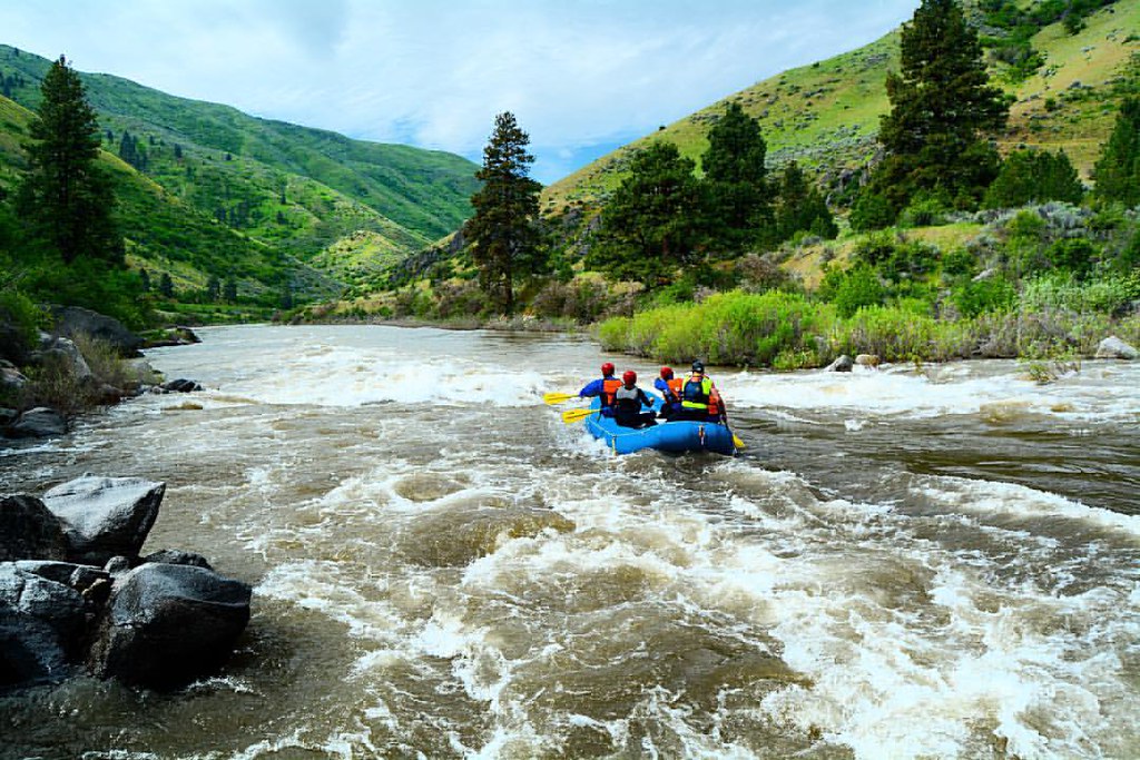
What a view to white water raft in...
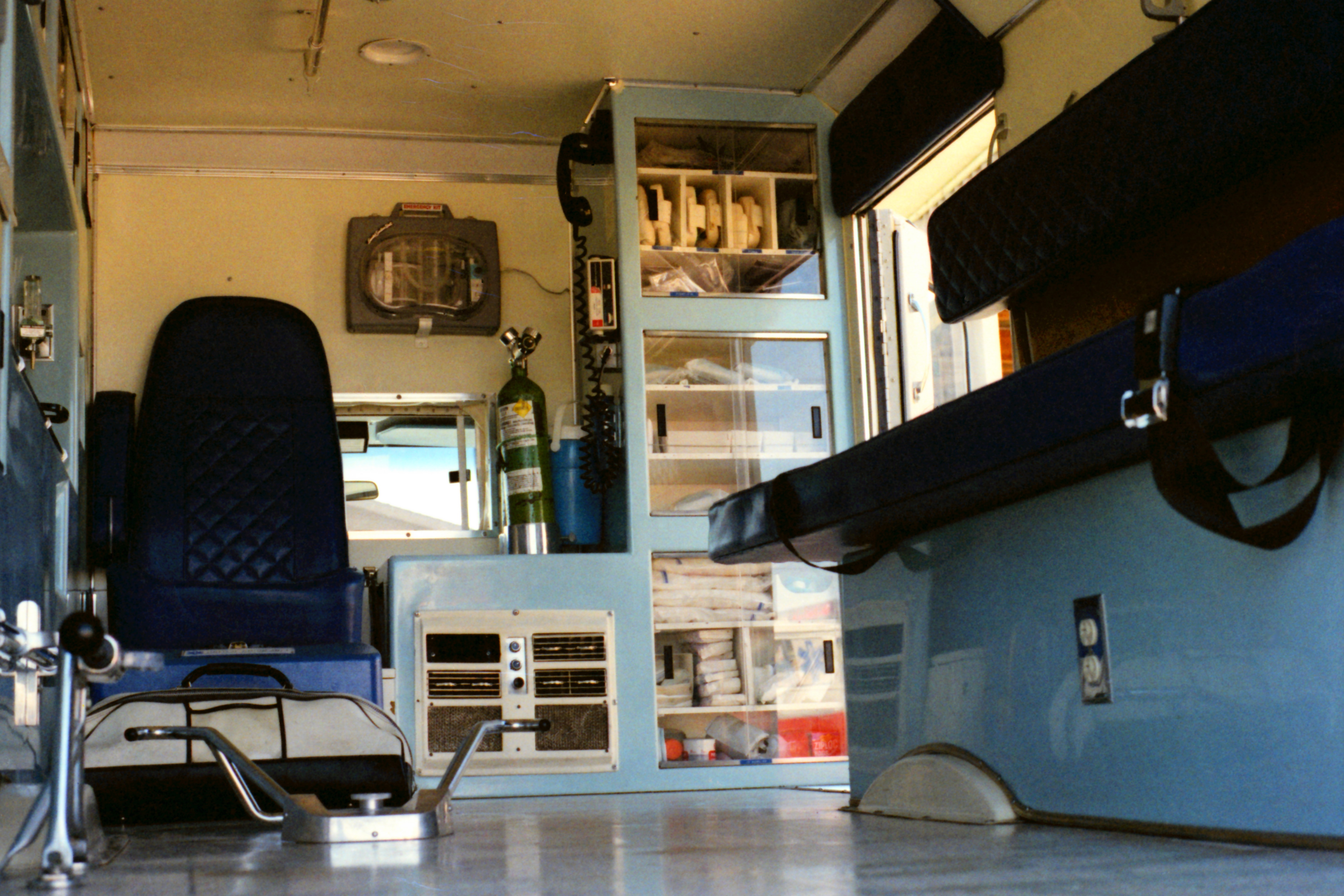
United Ambulance Service
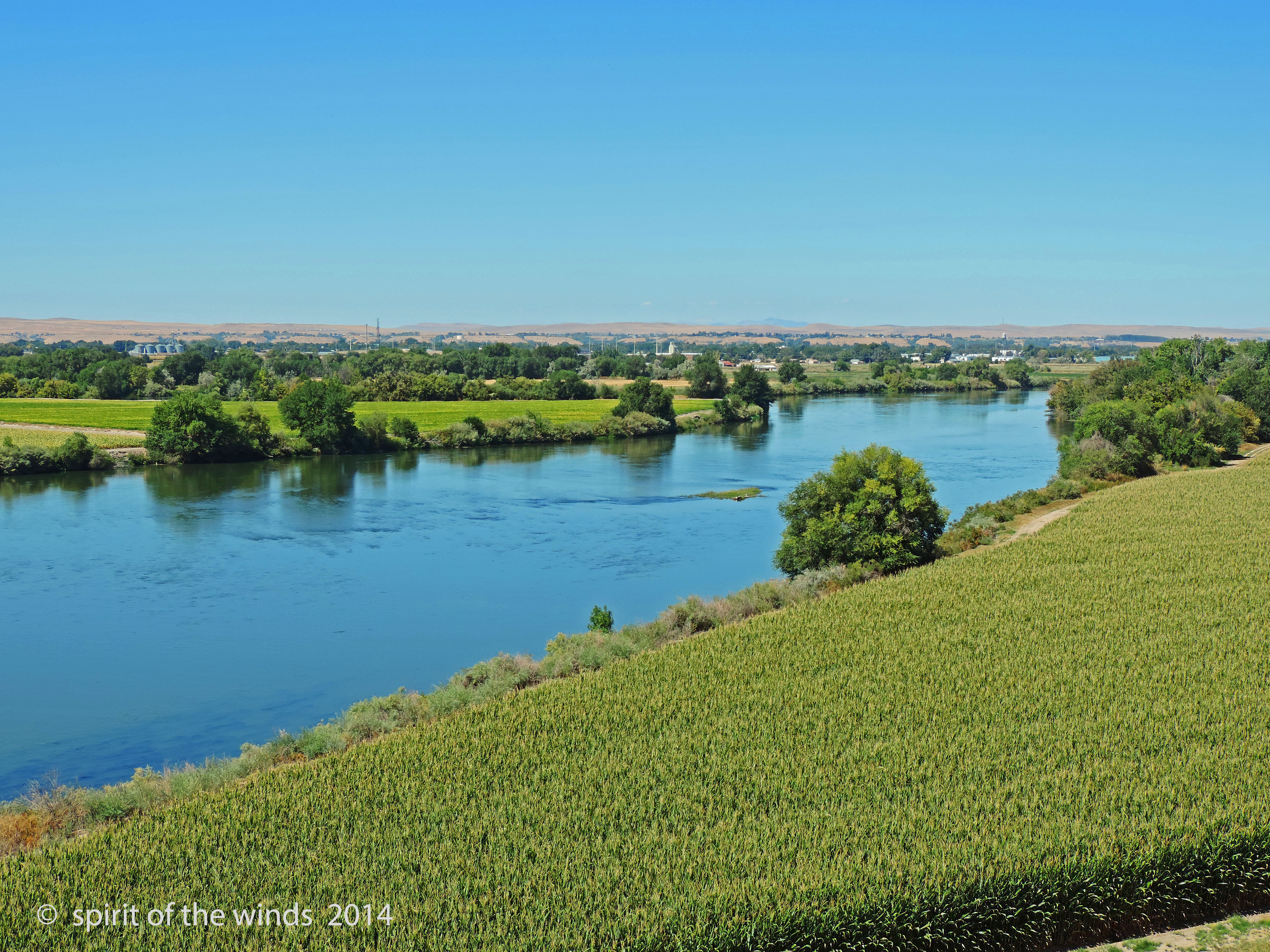
The Snake River

The Old Days
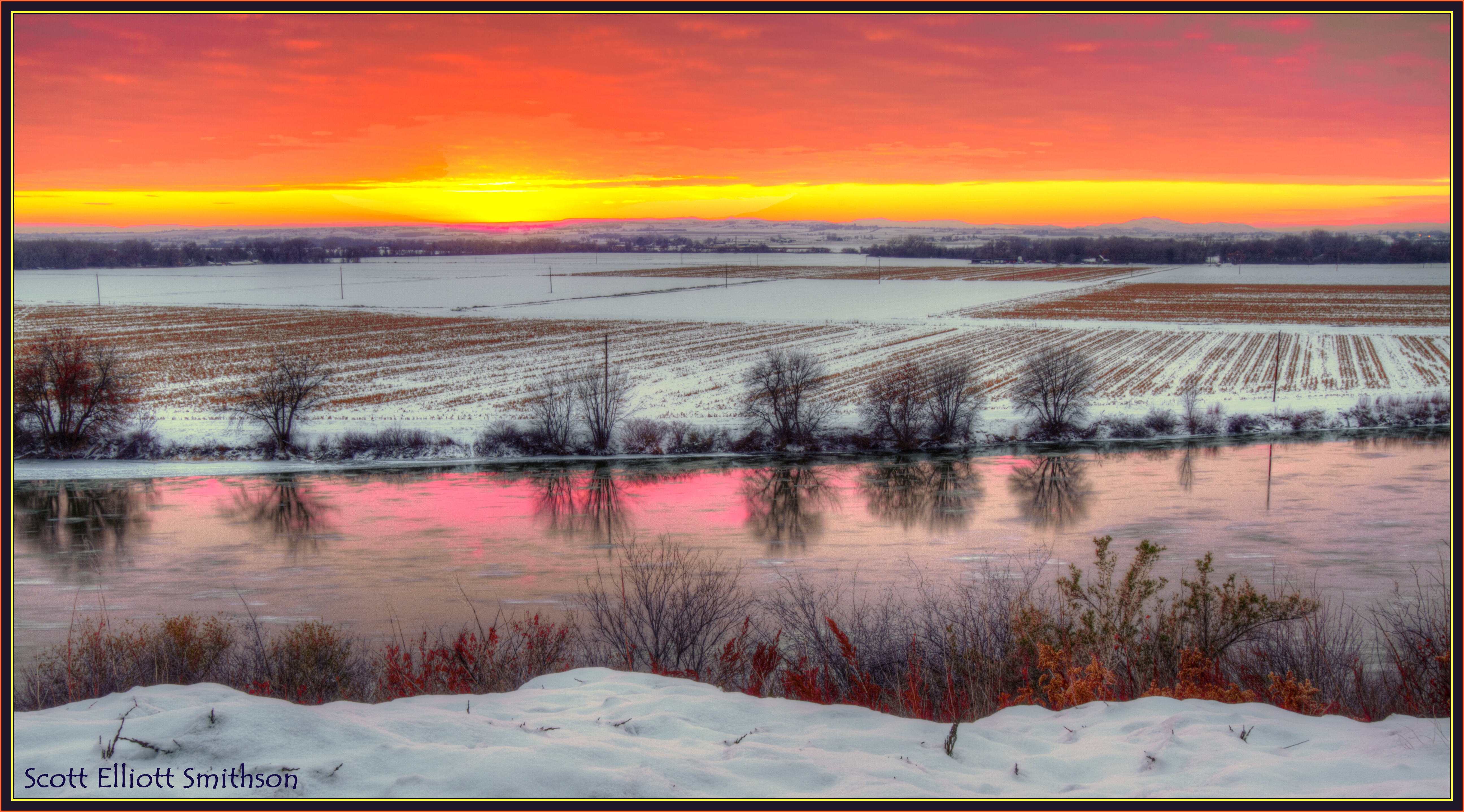
Snake River Winter Sunset
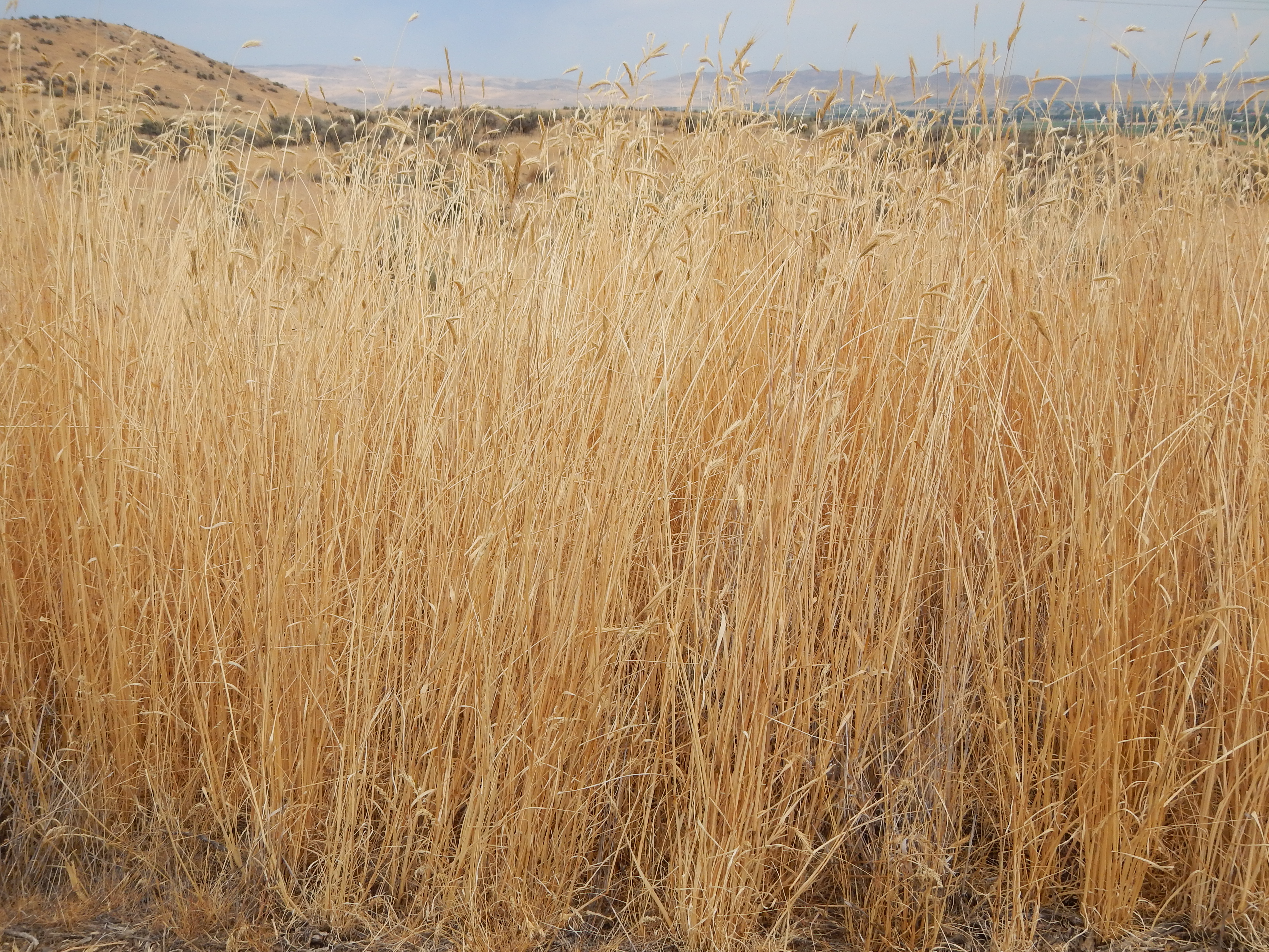
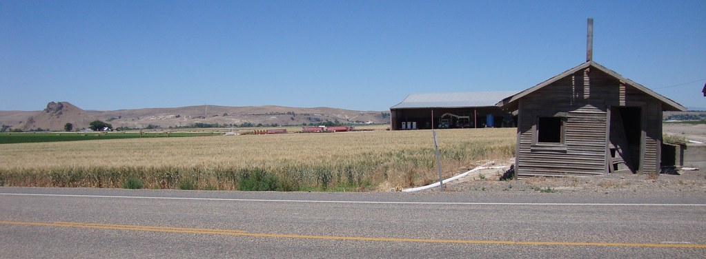
Bromus tectorum east of Weiser (and Secale cereale) along the benches above the Snake River
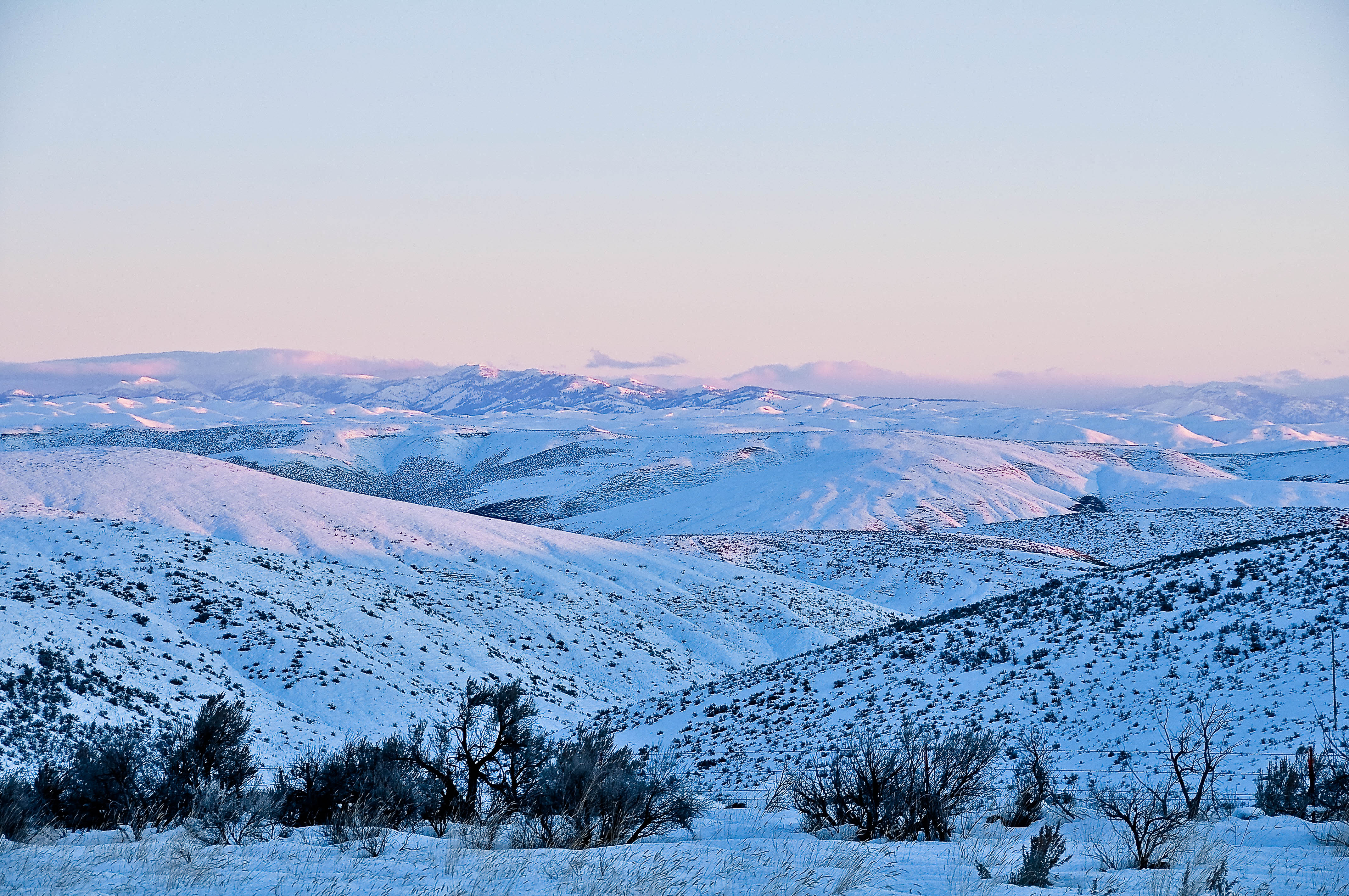
I-84 Eastern Oregon
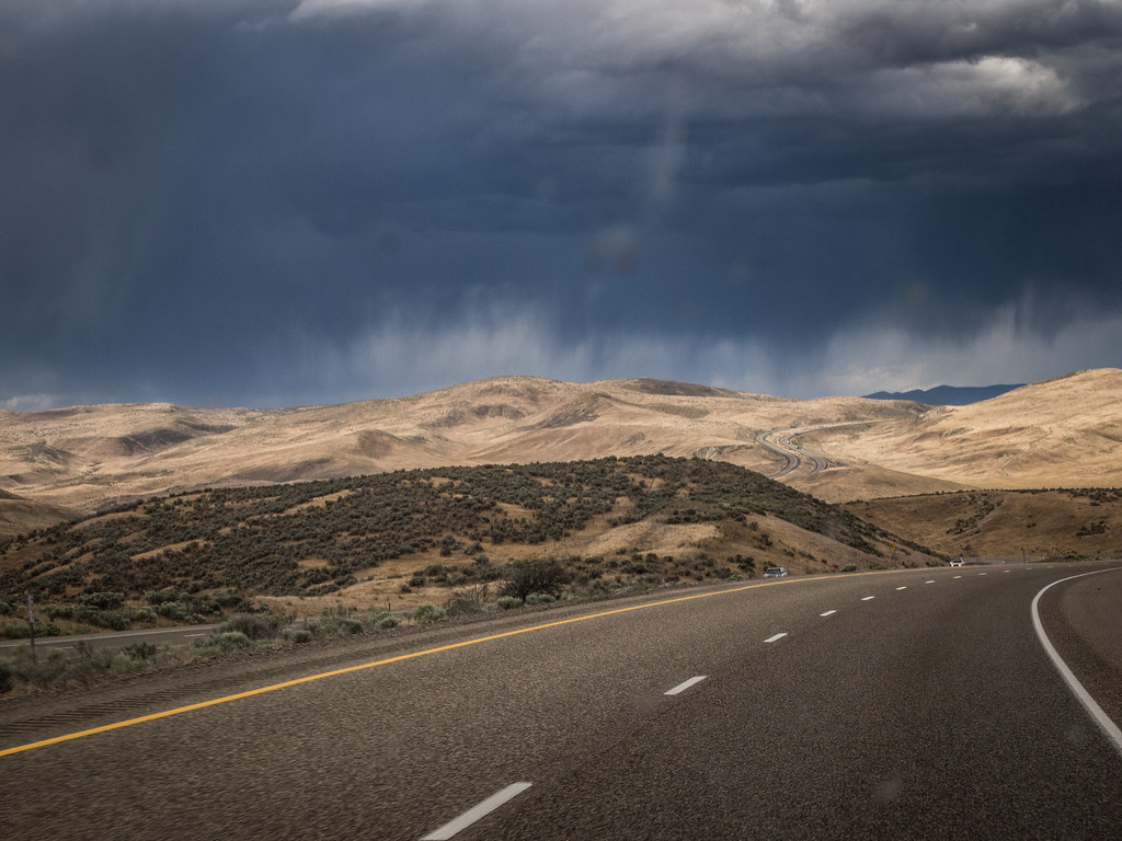
Road Trip 2013: Heading Home
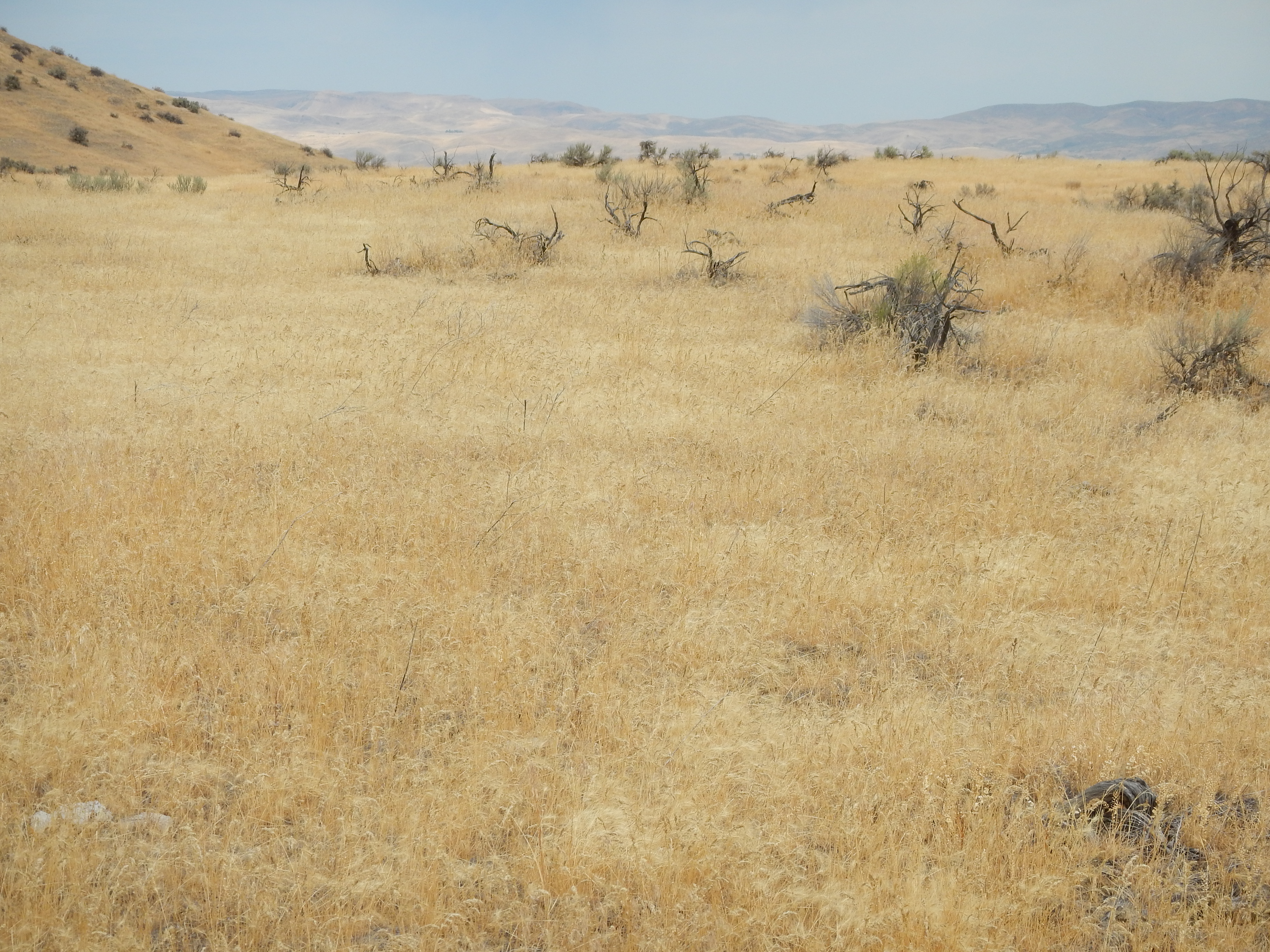
Bromus tectorum east of Weiser along the benches above the Snake River
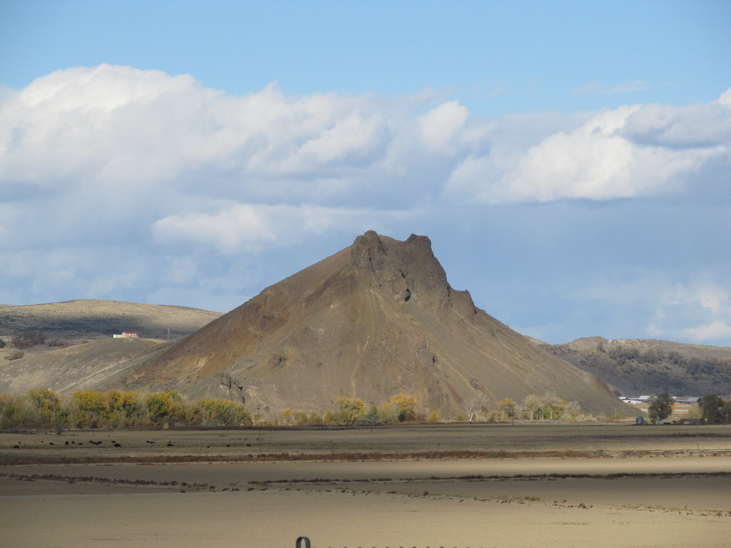
Malheur Butte - an extinct volcano

Bromus tectorum east of Weiser along the benches above the Snake River

BROWN MAGIC CLICKA 13
Malheur Butte, Oregon

Bromus tectorum east of Weiser along the benches above the Snake River
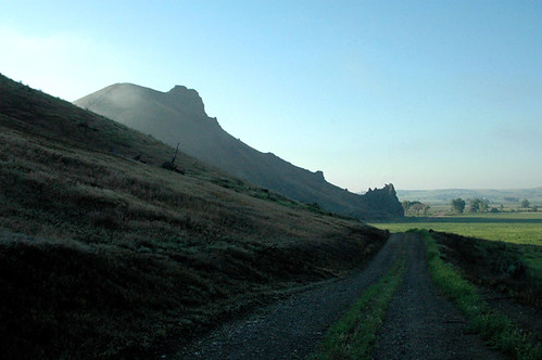
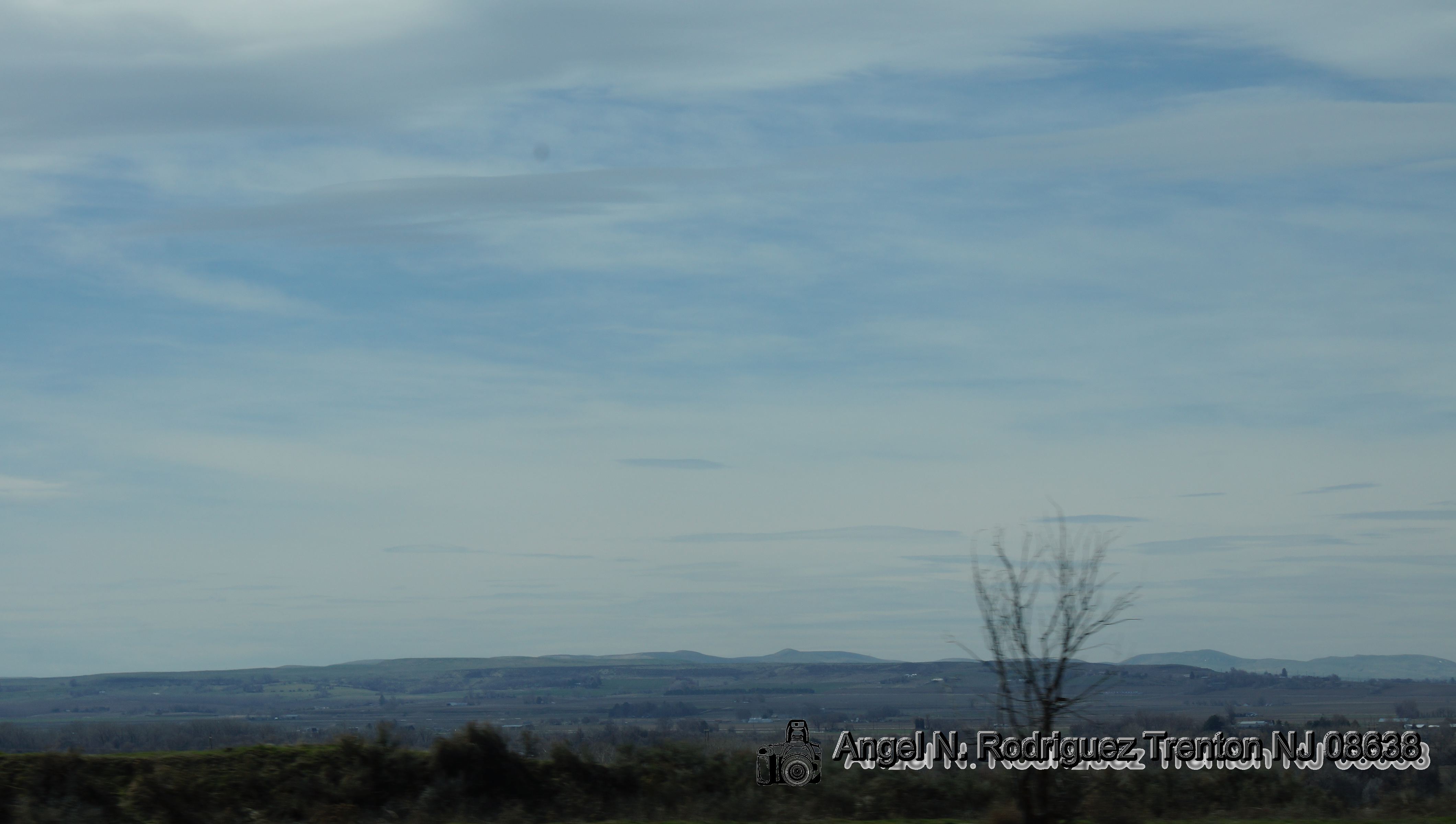
Malheur River Valley (Malheur County, Oregon)

Make sure not to go over the limit...

Old Time Country Feeling
Illinois, Iowa, Nebreaska
Illinois, Iowa, Nebreaska

Disked corn

looking NW
Topographic Map of Hyline Rd, Ontario, OR, USA
Find elevation by address:

Places near Hyline Rd, Ontario, OR, USA:
Ontario Heights Rd, Ontario, OR, USA
1120 N 6th St
2317 Nw 11th St
Payette
River Rd, Payette, ID, USA
57 Nw 16th St
Manser Dr, Payette, ID, USA
Idaho Elks Hearing And Balance Center: Ontario
Ontario
517 Sw 2nd St
Southeast 1st Avenue
NW 16th St, Fruitland, ID, USA
1273 Spring Creek Ln
Ramey
602 W 1st St
SW 4th St, Fruitland, ID, USA
Fruitland
Onion Ave, Ontario, OR, USA
Southwest Avenue
Elm St, New Plymouth, ID, USA
Recent Searches:
- Elevation of Congressional Dr, Stevensville, MD, USA
- Elevation of Bellview Rd, McLean, VA, USA
- Elevation of Stage Island Rd, Chatham, MA, USA
- Elevation of Shibuya Scramble Crossing, 21 Udagawacho, Shibuya City, Tokyo -, Japan
- Elevation of Jadagoniai, Kaunas District Municipality, Lithuania
- Elevation of Pagonija rock, Kranto 7-oji g. 8"N, Kaunas, Lithuania
- Elevation of Co Rd 87, Jamestown, CO, USA
- Elevation of Tenjo, Cundinamarca, Colombia
- Elevation of Côte-des-Neiges, Montreal, QC H4A 3J6, Canada
- Elevation of Bobcat Dr, Helena, MT, USA