Elevation of Fruitland, ID, USA
Location: United States > Idaho > Payette County >
Longitude: -116.91654
Latitude: 44.0076639
Elevation: 679m / 2228feet
Barometric Pressure: 93KPa
Elevation Map:
Satellite Map:
Related Photos:
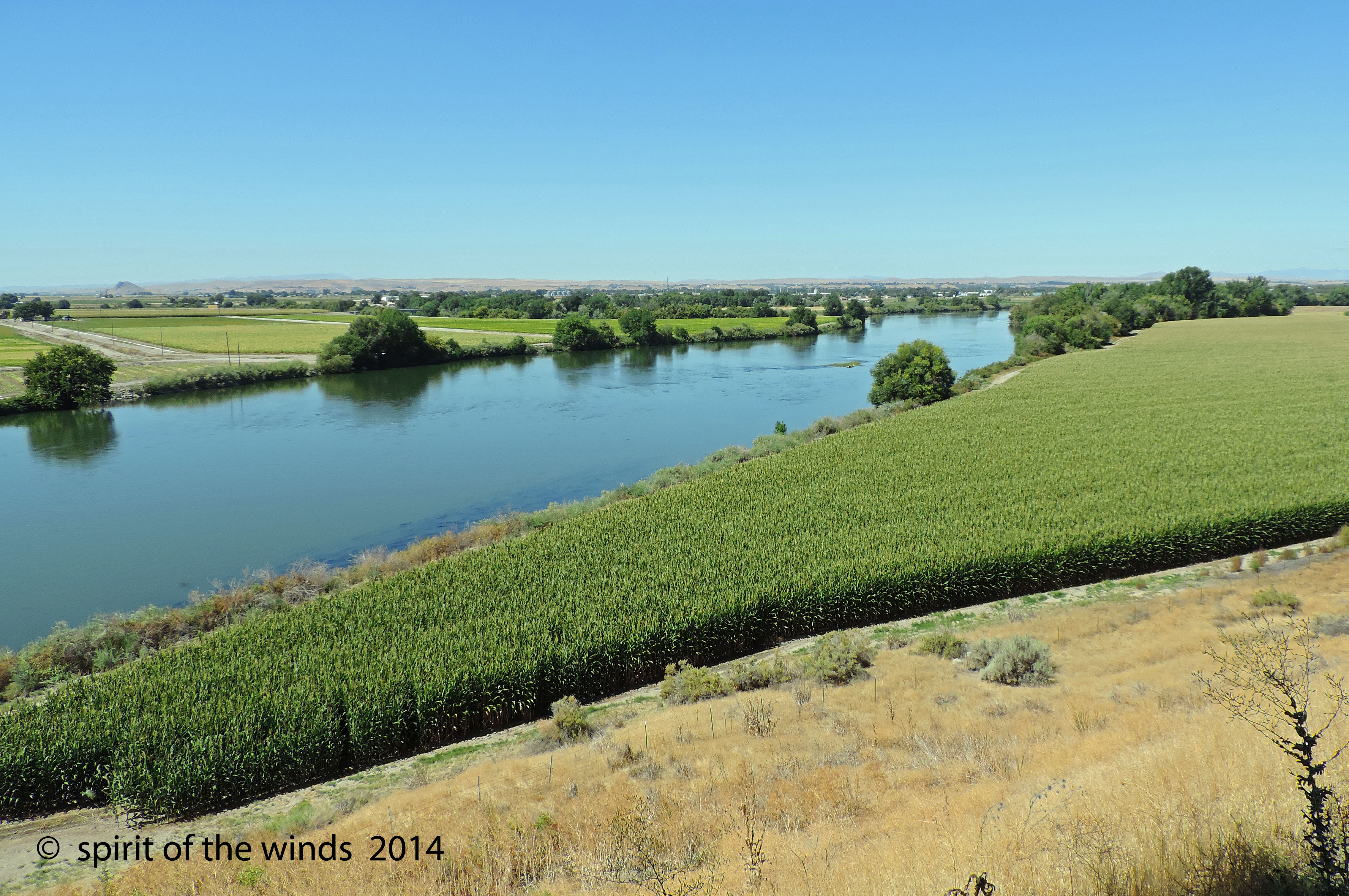
The Snake River
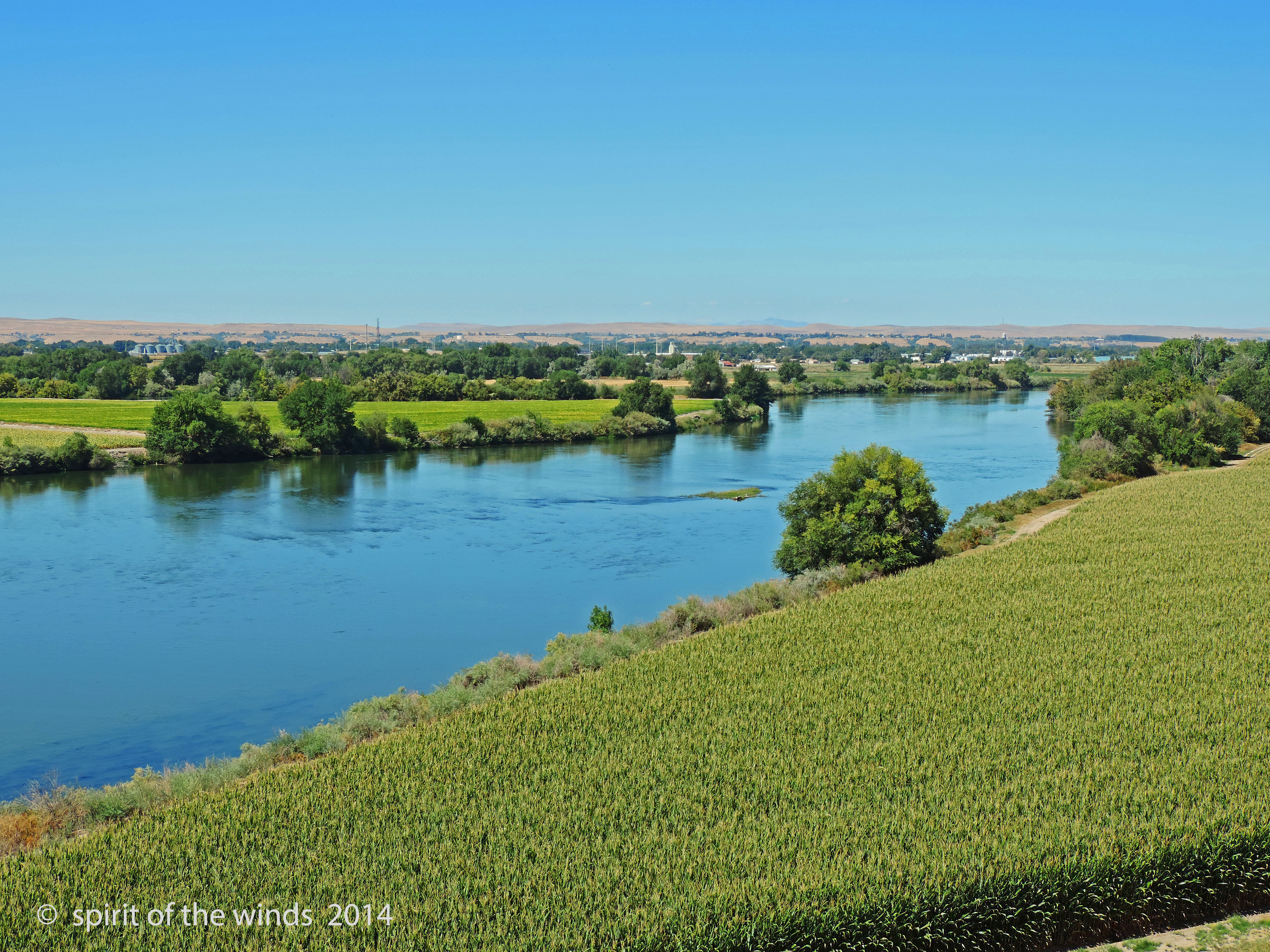
The Snake River

Well, we have been driving for hours through the sleet and snow and will most likely miss our flight. The silver lining is this beautiful view and the fact that we can see the road again! ❄️????⛄️☁️

What a view to white water raft in...
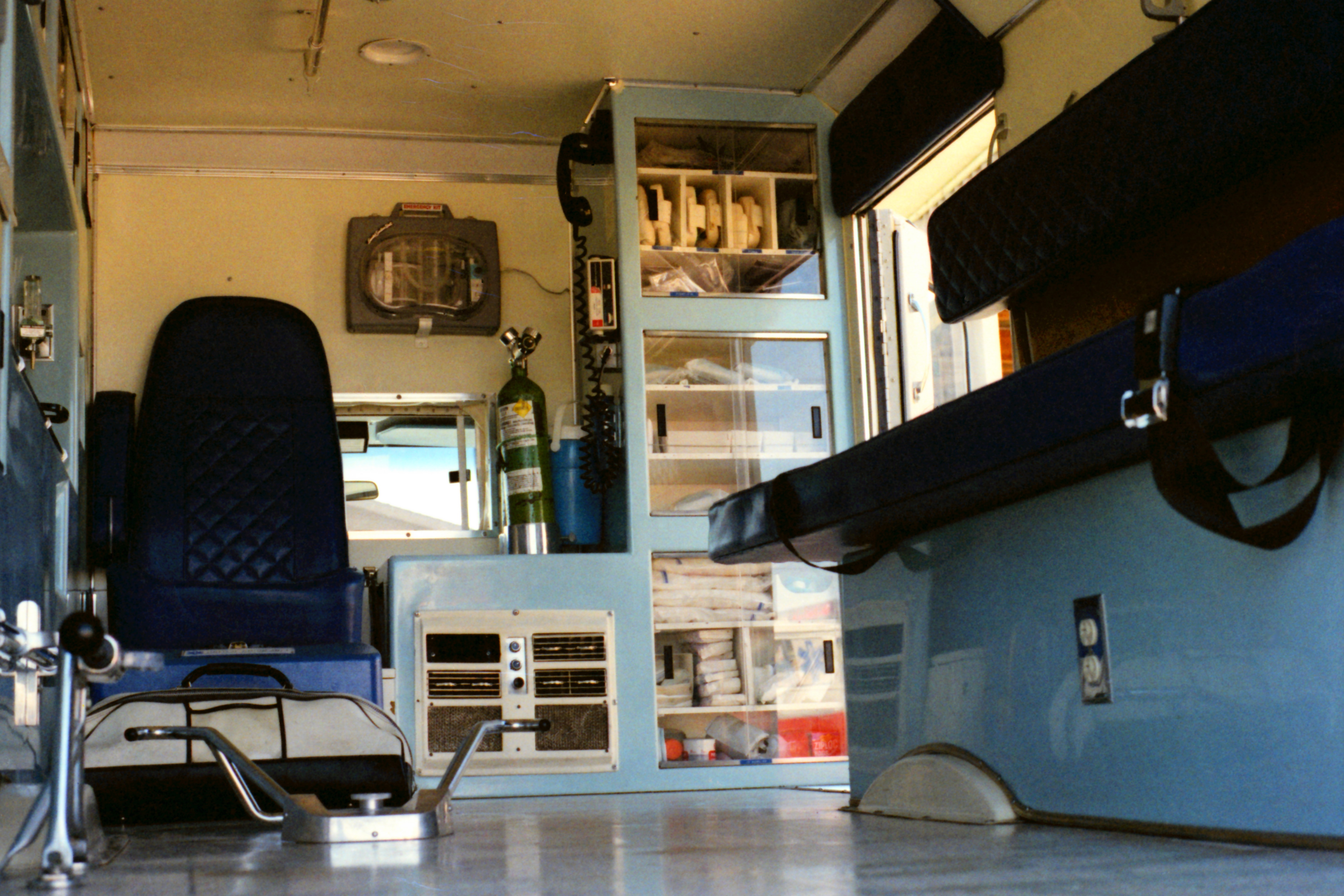
United Ambulance Service

Snake River Winter Sunset

DSC_2346 (1)

DSC_2347 (1)

DSC_2327 (1)

DSC_2342 (1)

DSC_2331 (1)

DSC_2341 (1)

DSC_2330 (1)

DSC_2335 (1)

DSC_2509 (4)
Topographic Map of Fruitland, ID, USA
Find elevation by address:

Places in Fruitland, ID, USA:
Places near Fruitland, ID, USA:
SW 4th St, Fruitland, ID, USA
602 W 1st St
1273 Spring Creek Ln
NW 16th St, Fruitland, ID, USA
Ramey
Southeast 1st Avenue
Ontario
517 Sw 2nd St
Onion Ave, Ontario, OR, USA
Manser Dr, Payette, ID, USA
Idaho Elks Hearing And Balance Center: Ontario
Payette
2317 Nw 11th St
57 Nw 16th St
1120 N 6th St
Southwest Avenue
River Rd, Payette, ID, USA
Elm St, New Plymouth, ID, USA
New Plymouth
4655 Hyline Rd
Recent Searches:
- Elevation of Côte-des-Neiges, Montreal, QC H4A 3J6, Canada
- Elevation of Bobcat Dr, Helena, MT, USA
- Elevation of Zu den Ihlowbergen, Althüttendorf, Germany
- Elevation of Badaber, Peshawar, Khyber Pakhtunkhwa, Pakistan
- Elevation of SE Heron Loop, Lincoln City, OR, USA
- Elevation of Slanický ostrov, 01 Námestovo, Slovakia
- Elevation of Spaceport America, Co Rd A, Truth or Consequences, NM, USA
- Elevation of Warwick, RI, USA
- Elevation of Fern Rd, Whitmore, CA, USA
- Elevation of 62 Abbey St, Marshfield, MA, USA