Elevation of Rock Creek Rd, Weiser, ID, USA
Location: United States > Idaho > Washington County > Weiser >
Longitude: -117.05339
Latitude: 44.3006759
Elevation: 685m / 2247feet
Barometric Pressure: 93KPa
Elevation Map:
Satellite Map:
Related Photos:
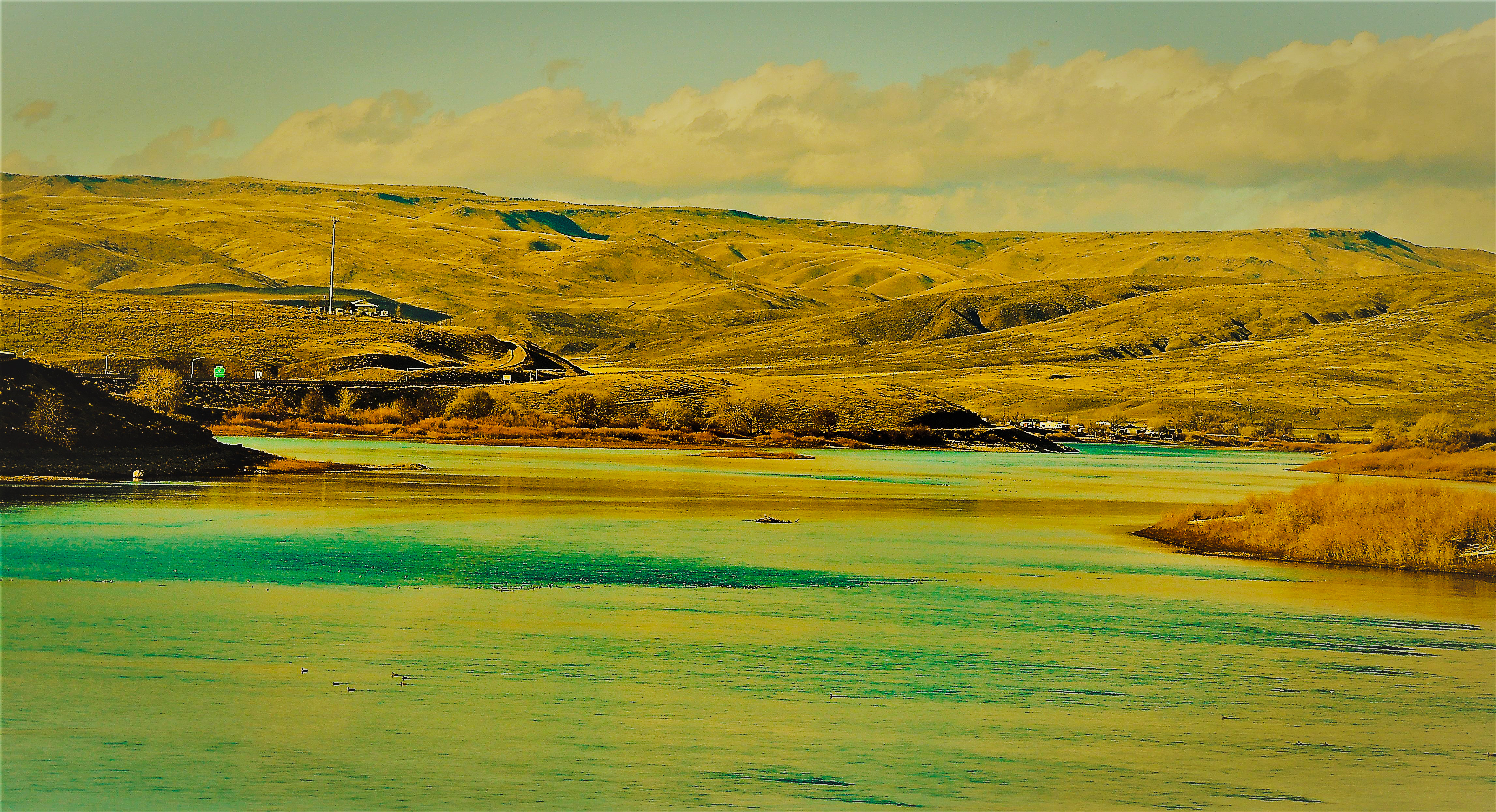
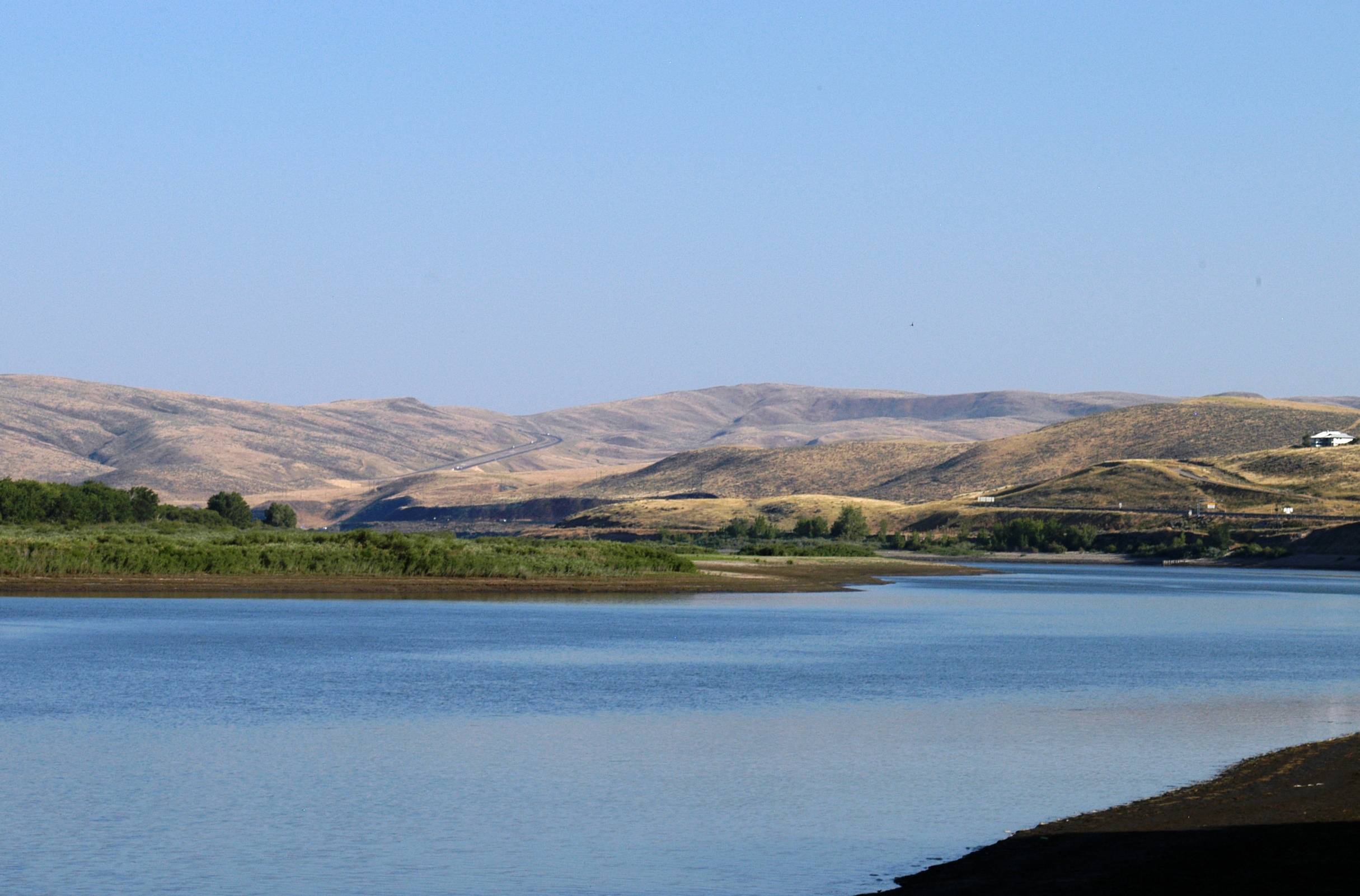
Snake River at Farewell Bend
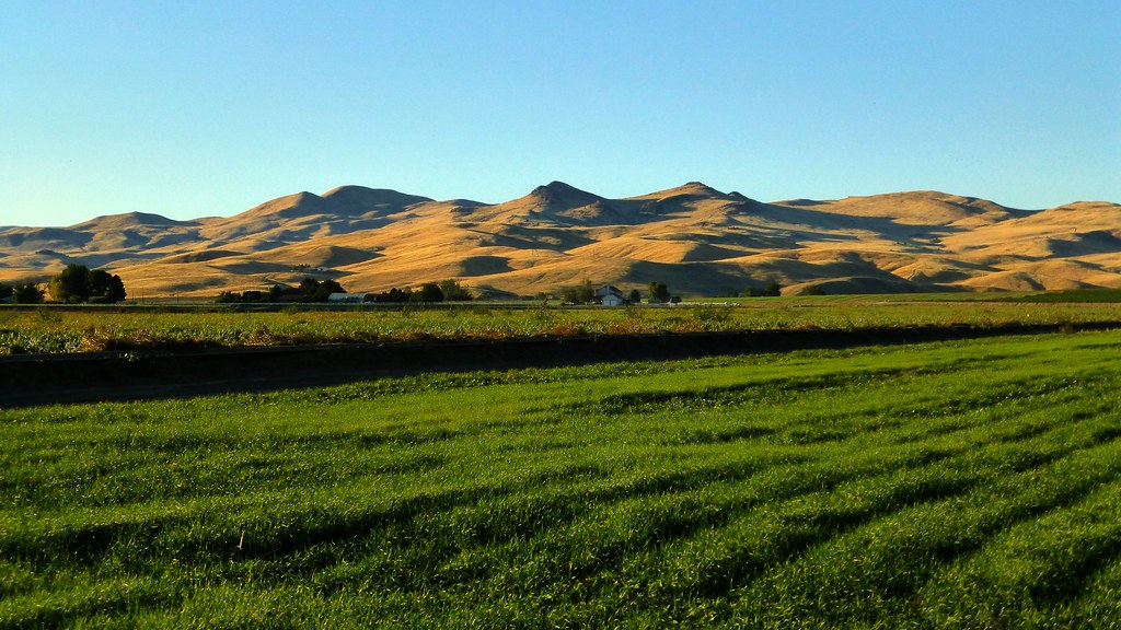
Near Farewell Bend
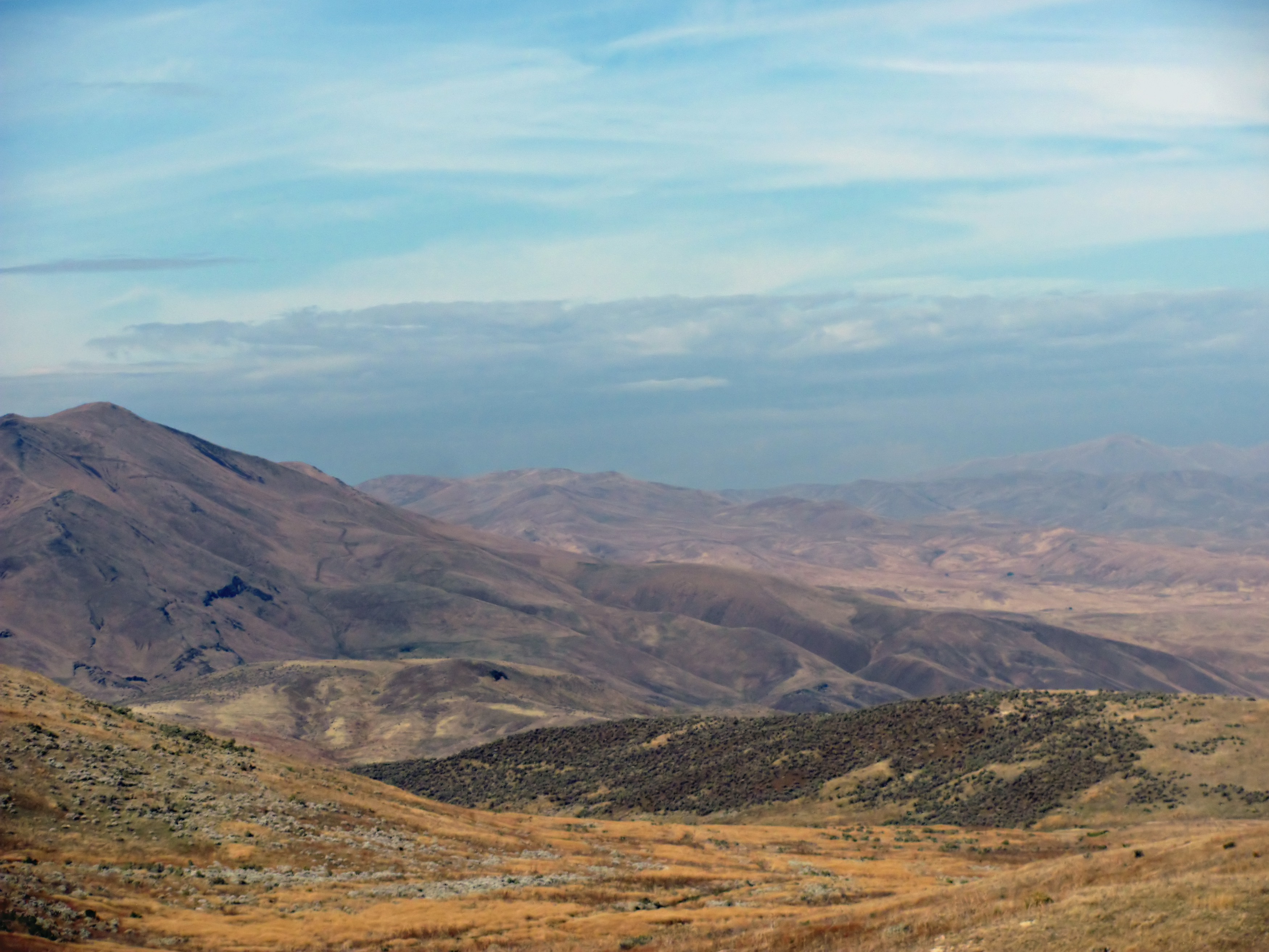
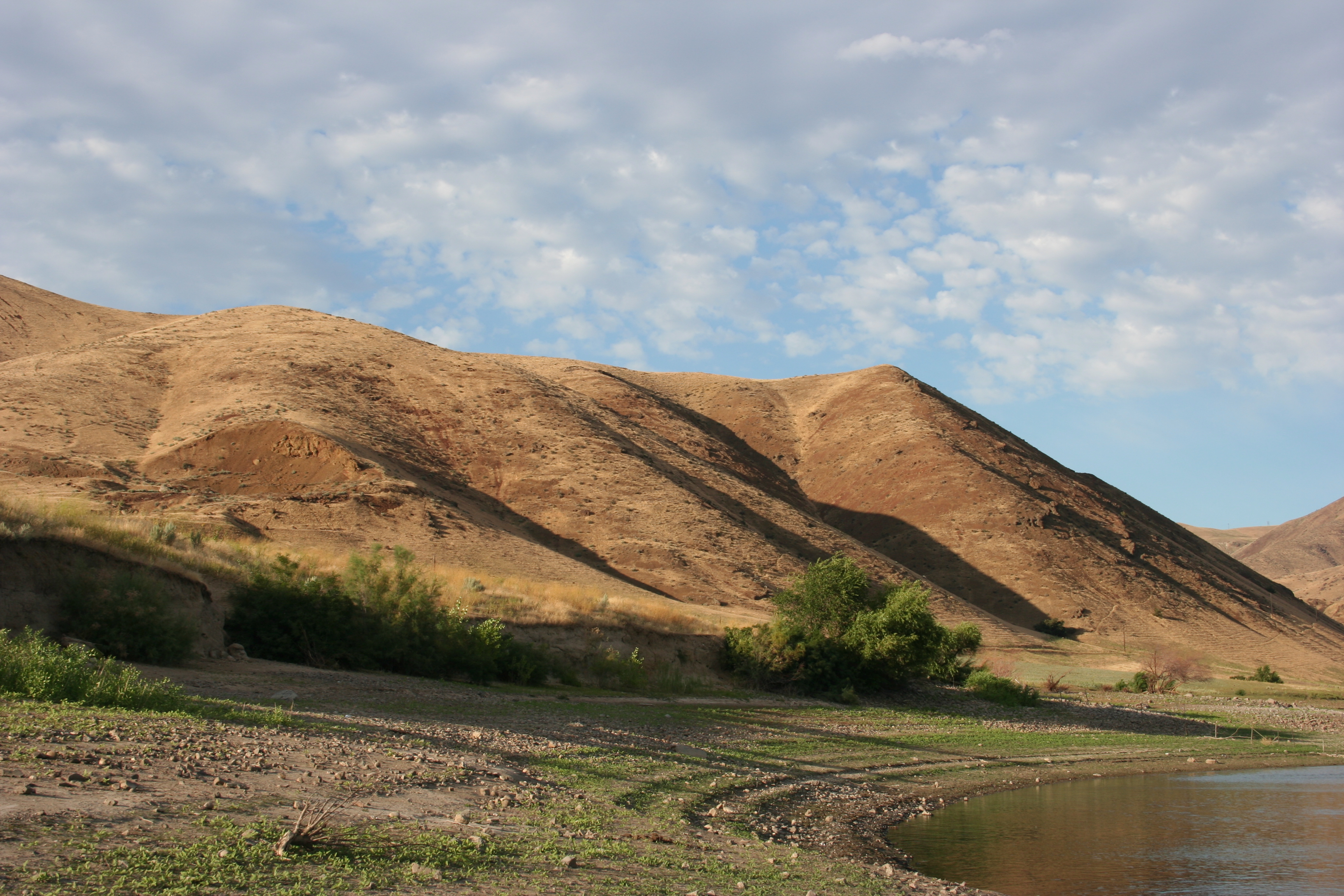
Eastern Oregon and Idaho
#Truckdriving in #Oregon #OnTheRoad #paidtraveljob #MyLife #awesome #View #Nature

The View at MP536.15 - Huntington Sub

State Street - Weiser, Idaho
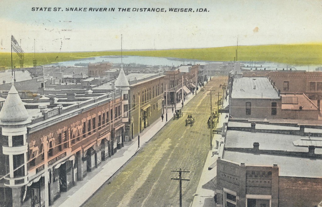
State Street - Weiser, Idaho
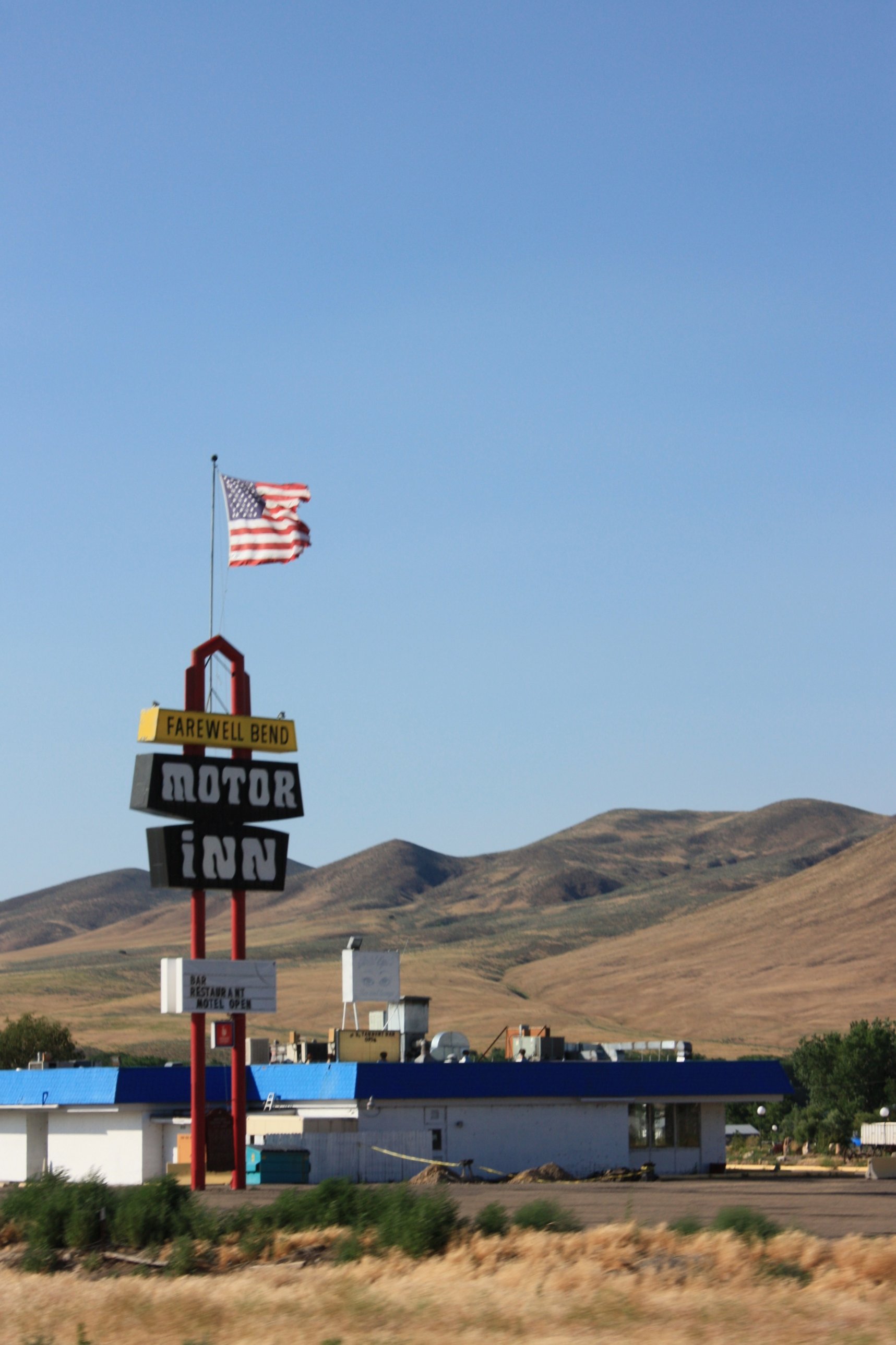
Farewell Bend Motor-inn
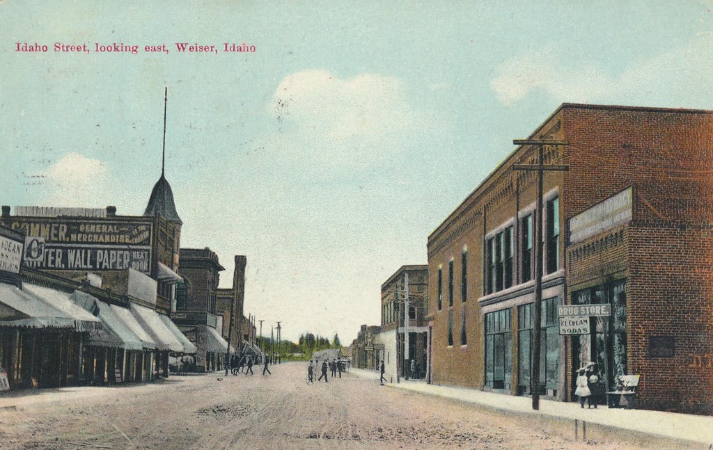
Idaho Street, Looking East - Weiser, Idaho
View from the Oregon Trail
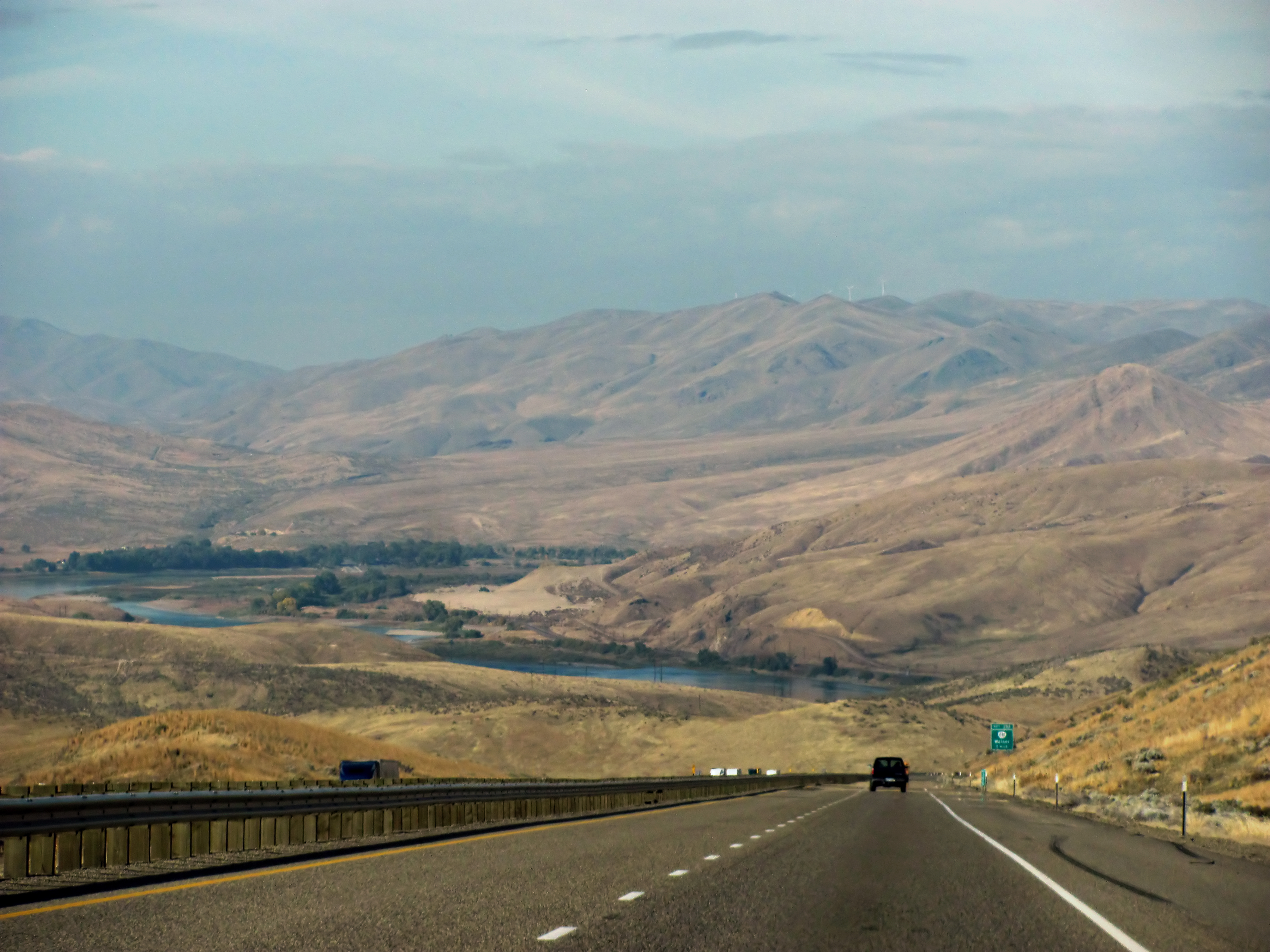
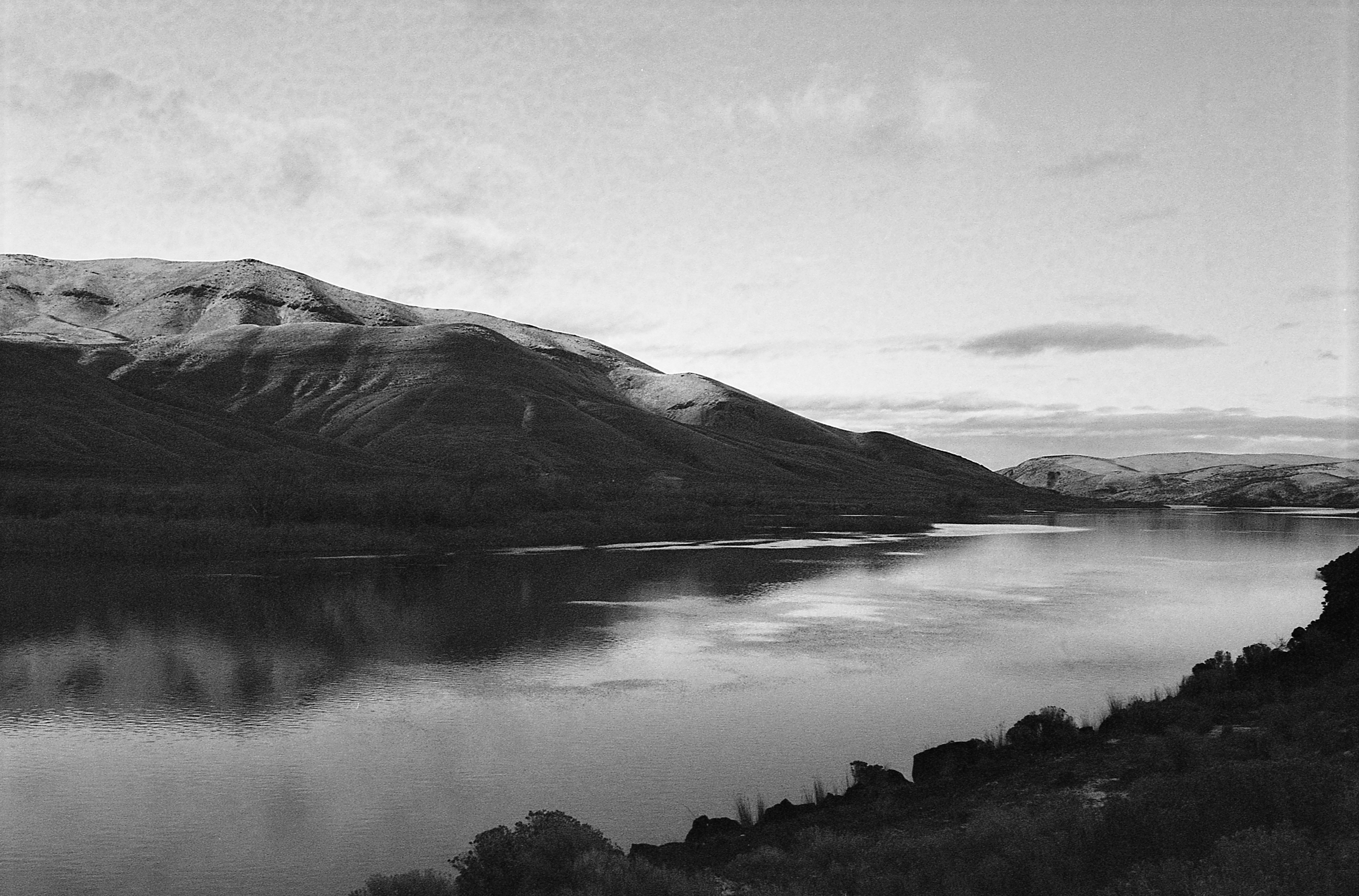
The Wandering Snake.
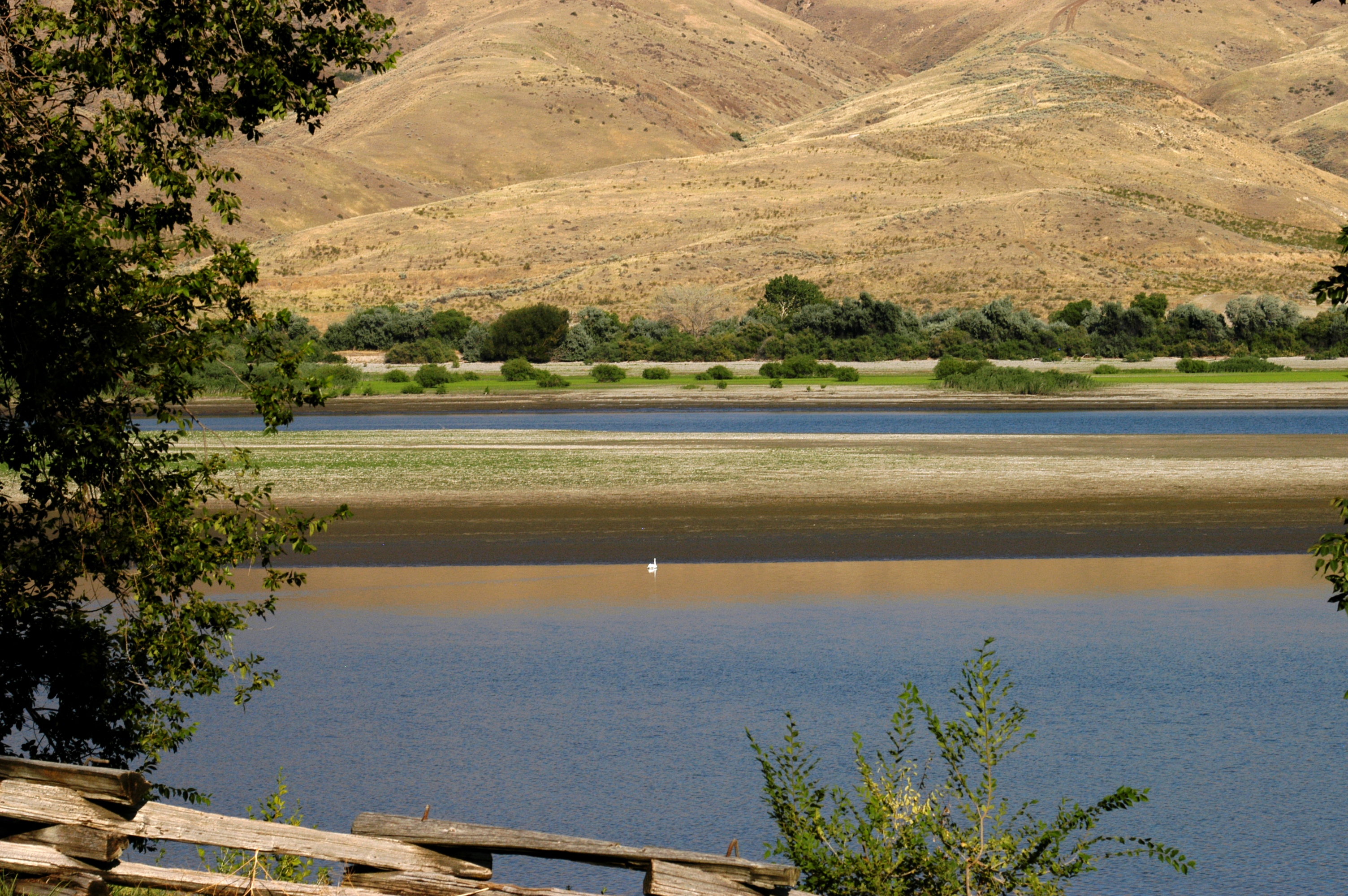
Farewell, Bend
Baker County Tourism – basecampbaker.com 325
Baker County Tourism – basecampbaker.com 326
Baker County Tourism – basecampbaker.com 327
Indianhead Rd, Weiser, ID #3

Indianhead Rd, Weiser, ID #1

The epic engagement

DSC_0659 (1)

DSC_0659 (1)

Sunset over the Snake

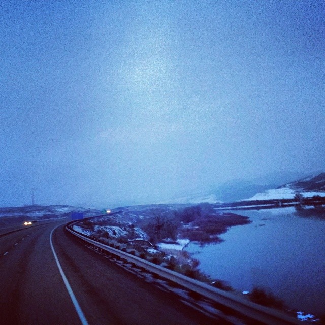
Mann Creek Reservoir, ID

DSC_0653 (1)

Hi / Low
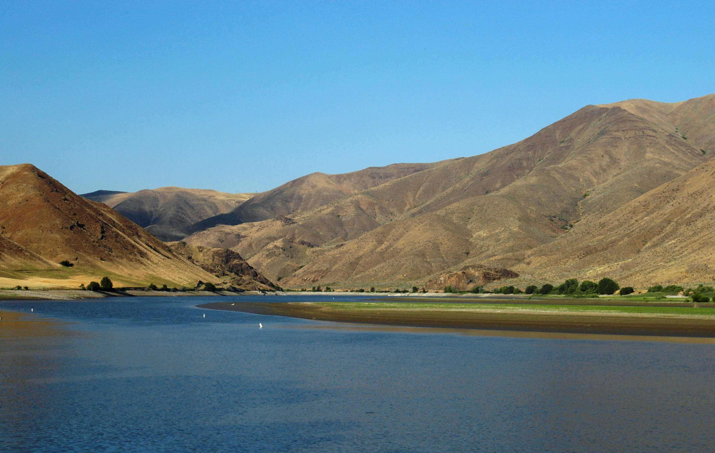
Farewell Bend State Park
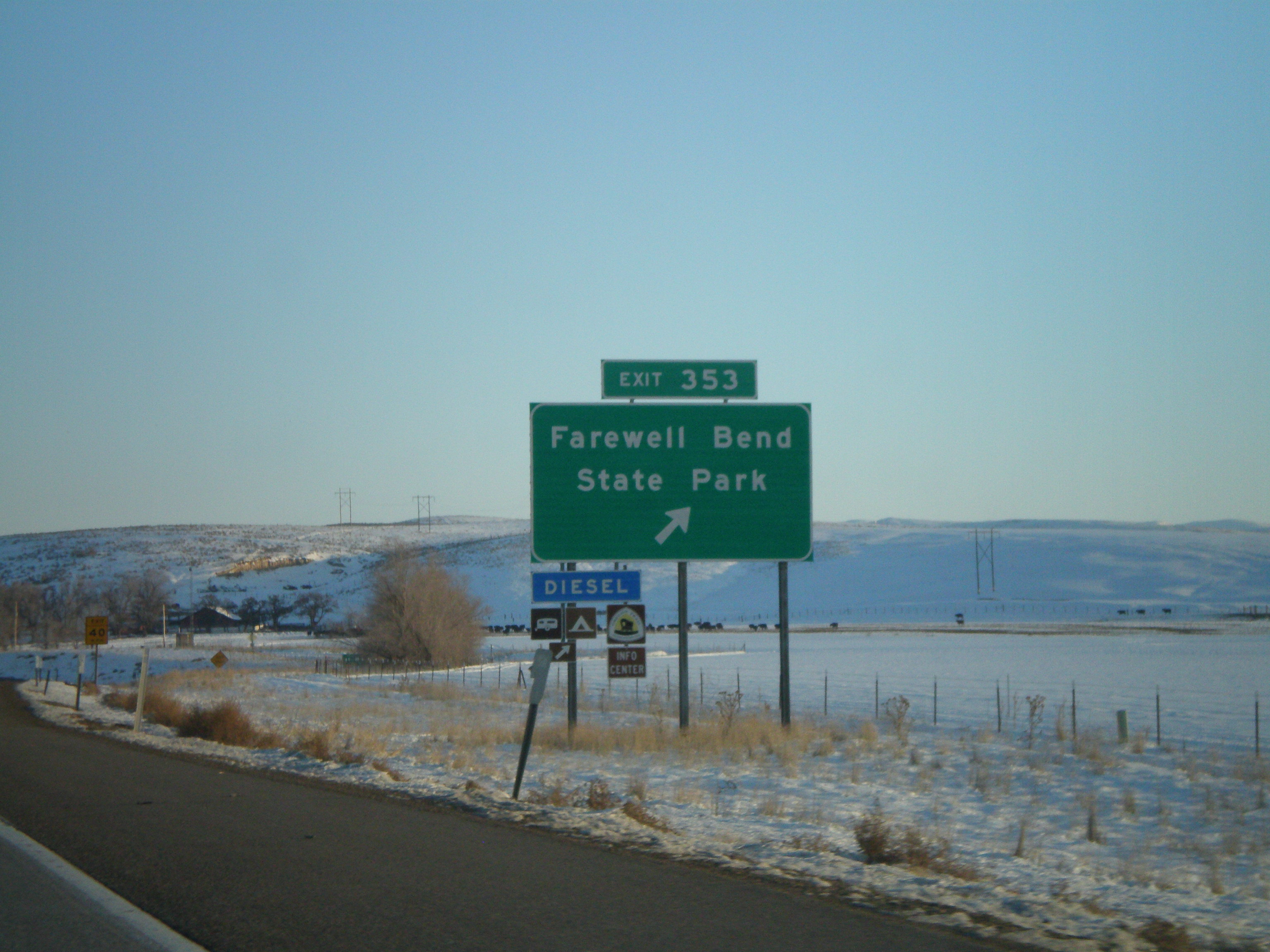
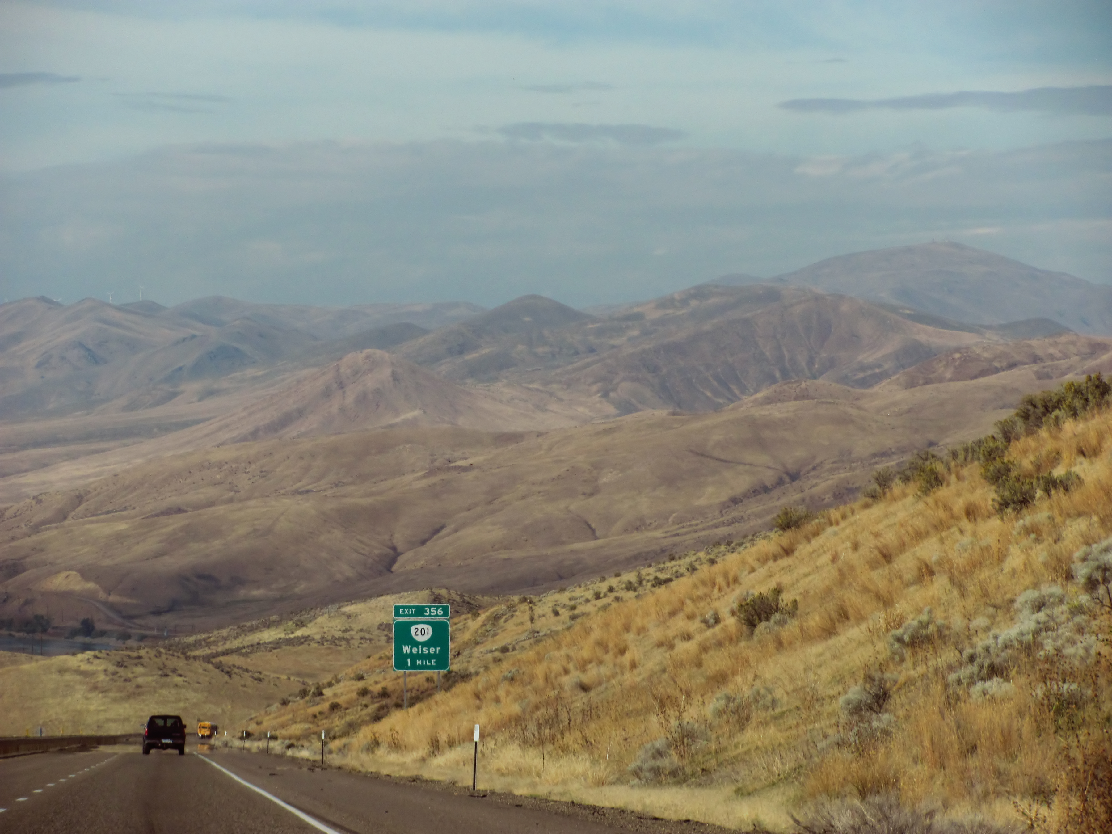
I-84 East - Exit 353
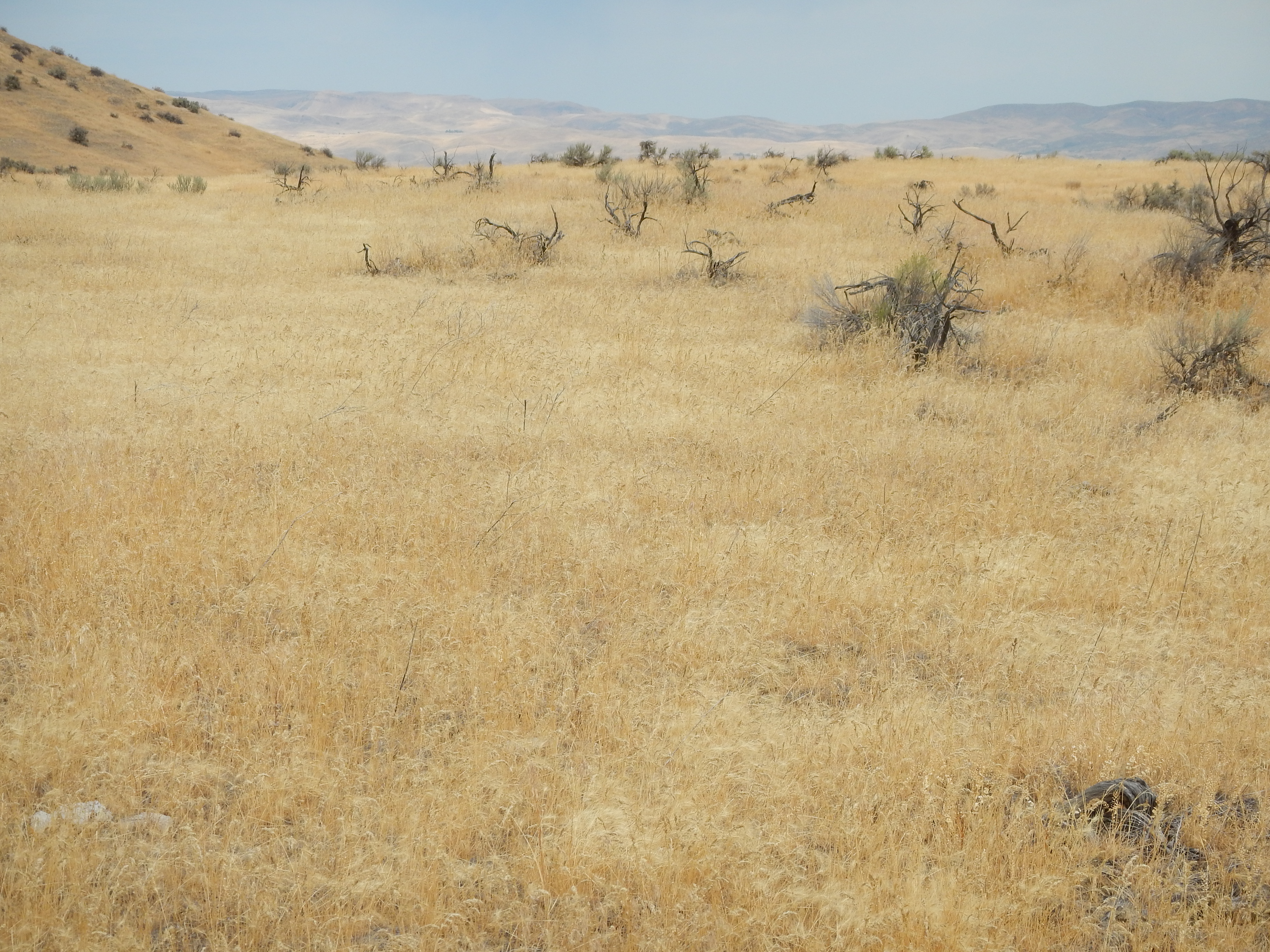
Bromus tectorum east of Weiser along the benches above the Snake River
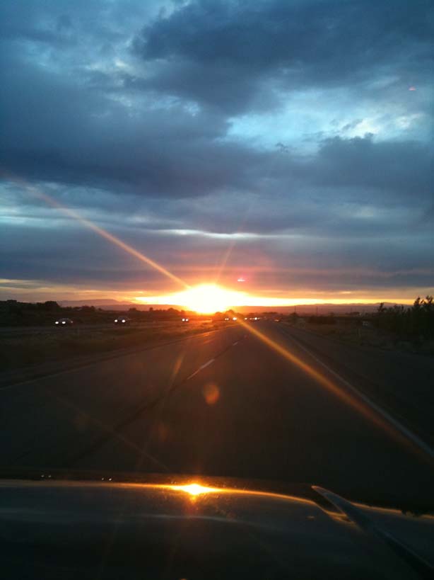
08-OR-03-Sunset
Topographic Map of Rock Creek Rd, Weiser, ID, USA
Find elevation by address:

Places near Rock Creek Rd, Weiser, ID, USA:
770 River Bend Ln
927 Conductor Rd
Conductor Rd, Huntington, OR, USA
1595 W 7th St
Weiser
Farewell Bend
1326 Mann Creek Rd
880 Mann Creek Rd
4655 Hyline Rd
Cahill Ln, Weiser, ID, USA
Huntington
Ontario Heights Rd, Ontario, OR, USA
River Rd, Payette, ID, USA
1120 N 6th St
Interstate 84
Payette
2317 Nw 11th St
Manser Dr, Payette, ID, USA
2235 Cove Rd
57 Nw 16th St
Recent Searches:
- Elevation of Luther Road, Luther Rd, Auburn, CA, USA
- Elevation of Unnamed Road, Respublika Severnaya Osetiya — Alaniya, Russia
- Elevation of Verkhny Fiagdon, North Ossetia–Alania Republic, Russia
- Elevation of F. Viola Hiway, San Rafael, Bulacan, Philippines
- Elevation of Herbage Dr, Gulfport, MS, USA
- Elevation of Lilac Cir, Haldimand, ON N3W 2G9, Canada
- Elevation of Harrod Branch Road, Harrod Branch Rd, Kentucky, USA
- Elevation of Wyndham Grand Barbados Sam Lords Castle All Inclusive Resort, End of Belair Road, Long Bay, Bridgetown Barbados
- Elevation of Iga Trl, Maggie Valley, NC, USA
- Elevation of N Co Rd 31D, Loveland, CO, USA