Elevation of Main St, Ferdinand, ID, USA
Location: United States > Idaho > Idaho County > Ferdinand >
Longitude: -116.38855
Latitude: 46.1526441
Elevation: 1135m / 3724feet
Barometric Pressure: 88KPa
Elevation Map:
Satellite Map:
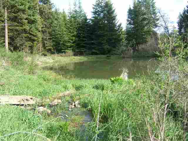
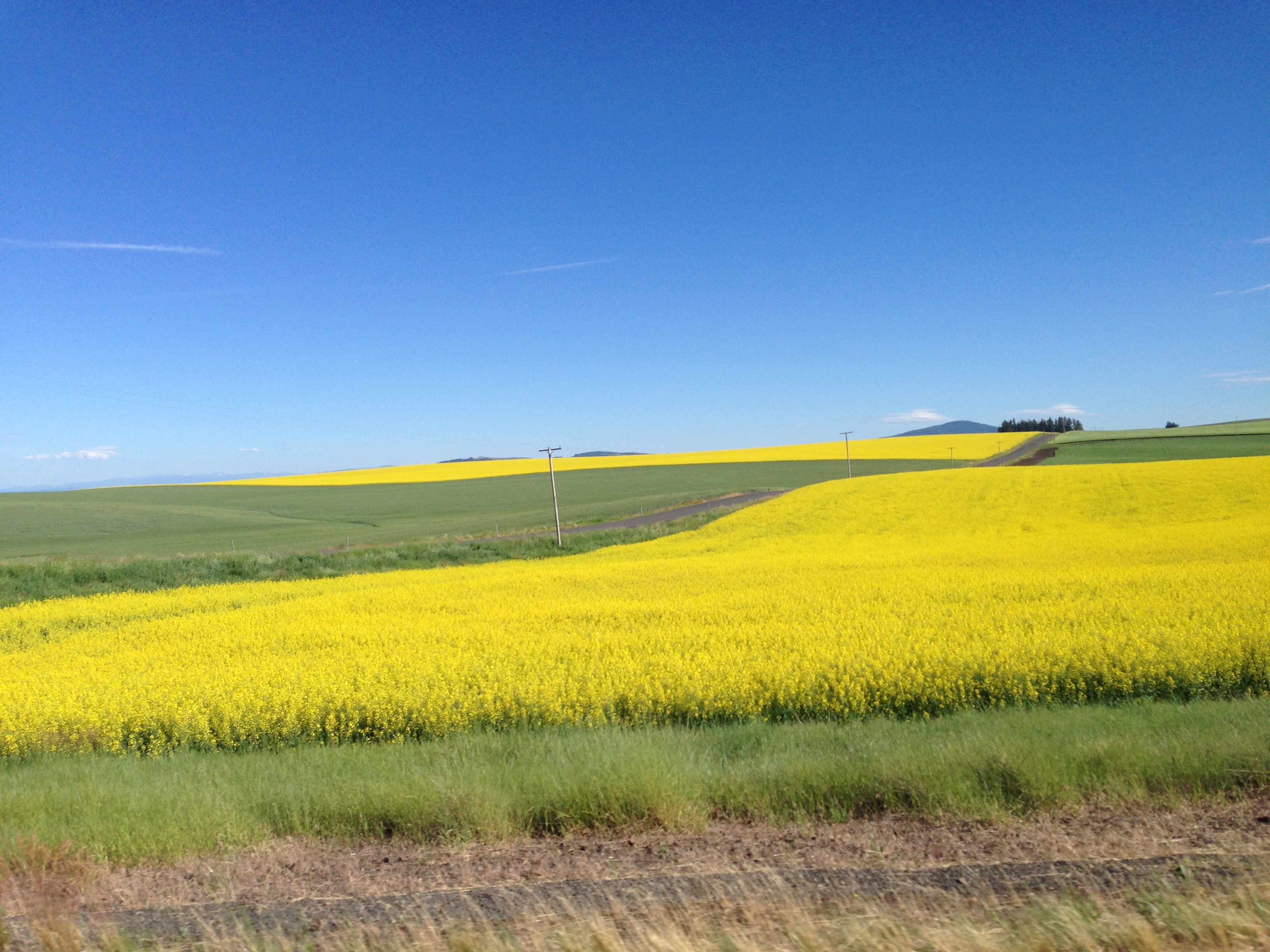
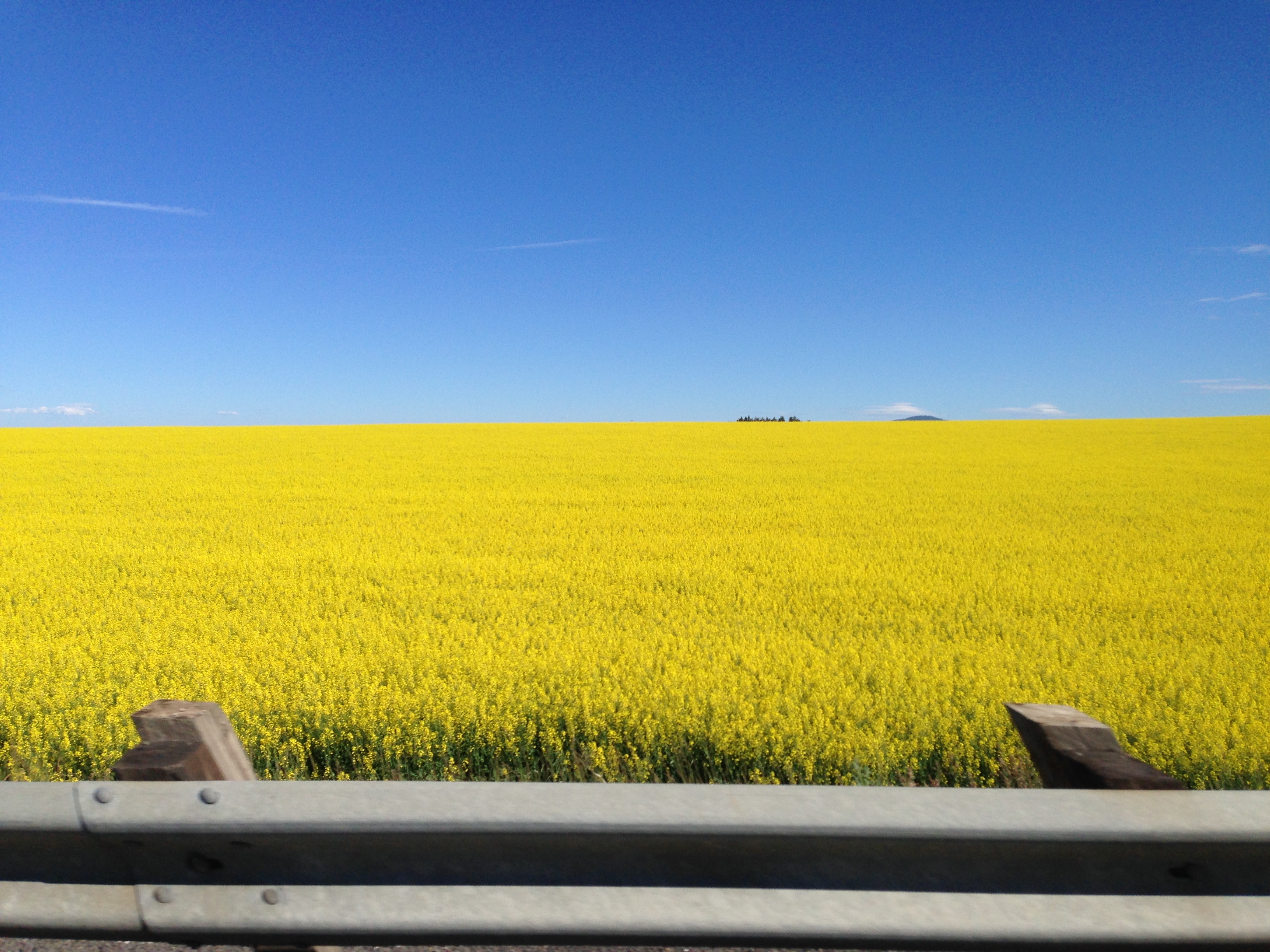
Related Photos:

Nezperce, Idaho!

Pardon Me!

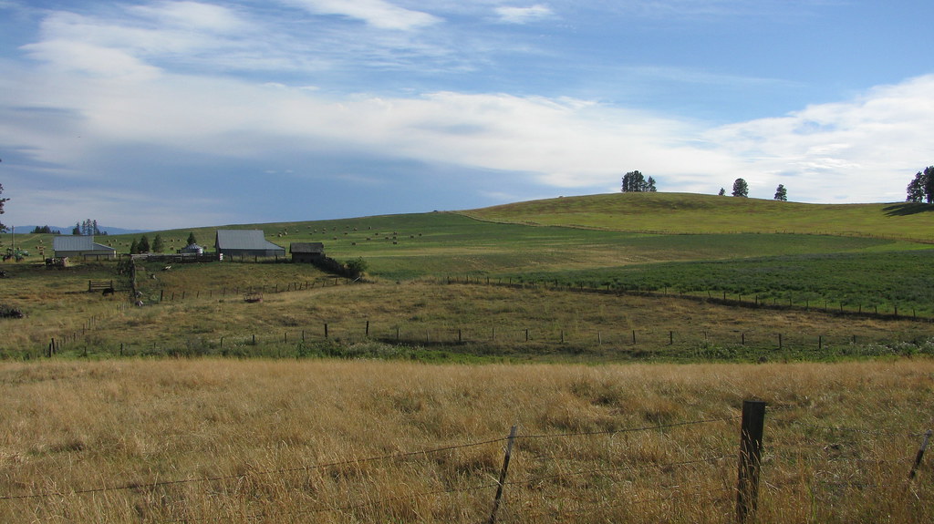
Following the Contours!

Flying Over the Hills!

Up in Smoke!
LEWISCLARK MLS#113514

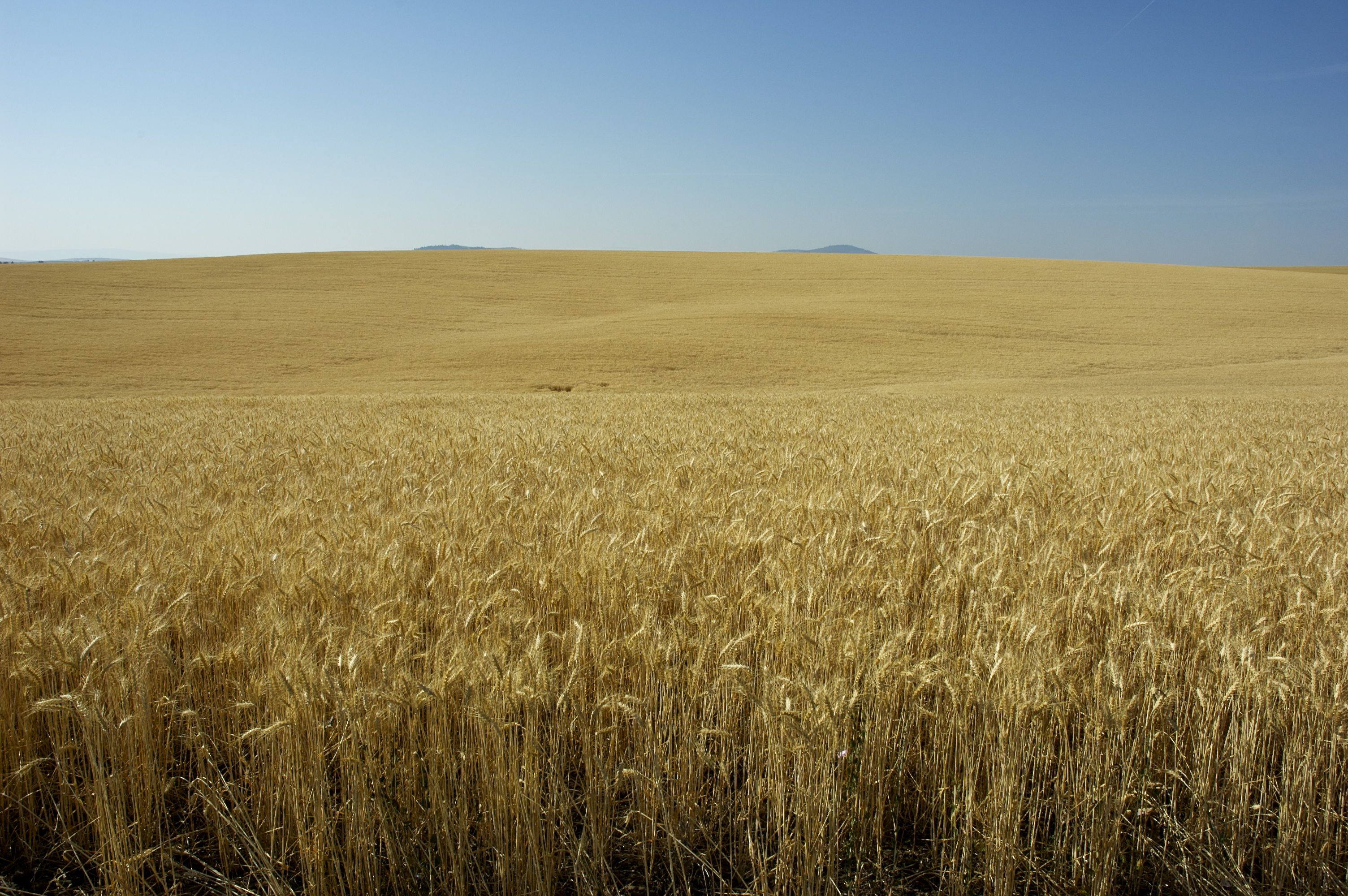
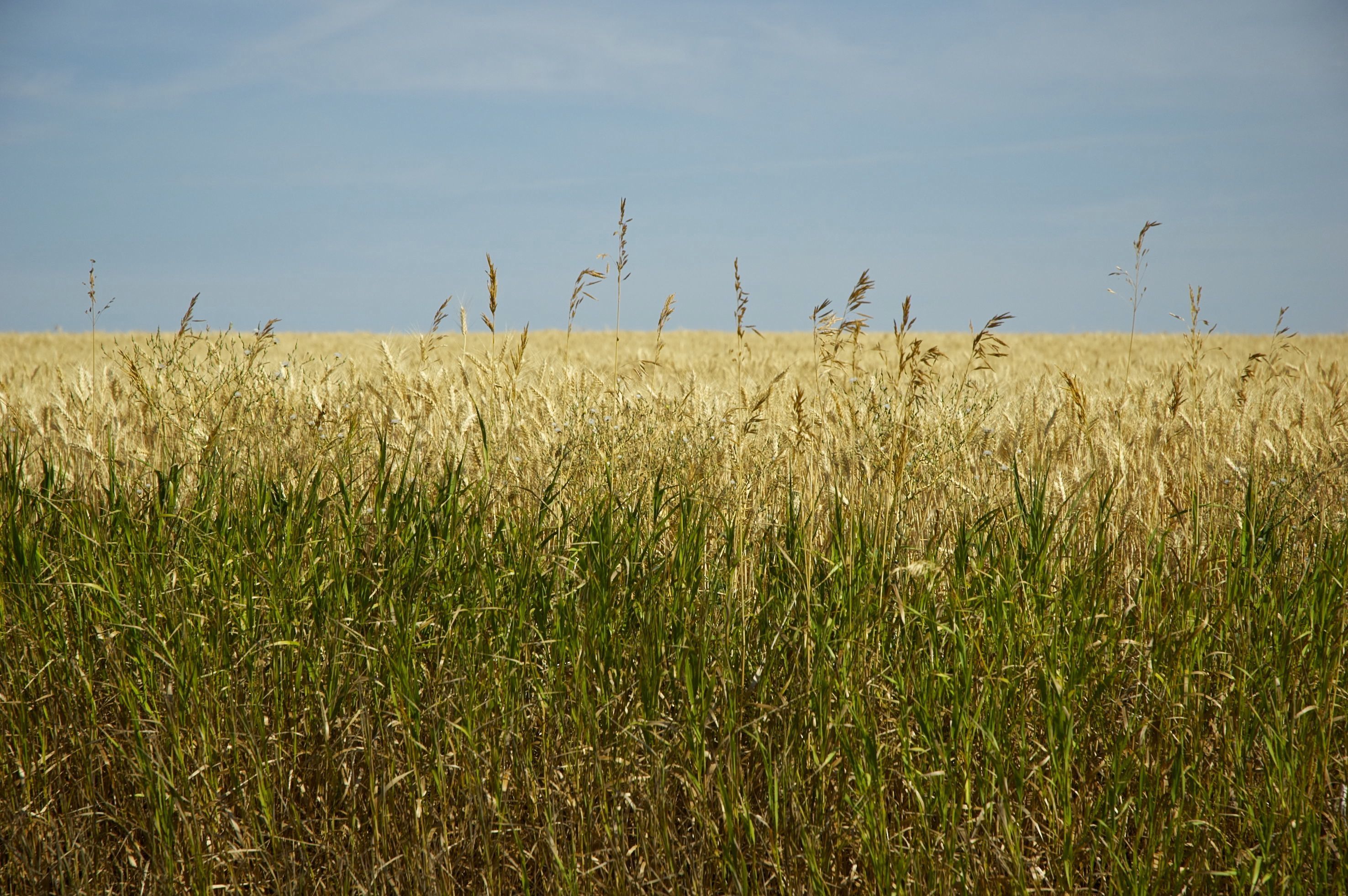
[IDAHO-J-0023] Nezperce Wheat Field
IMG_0960.JPG (2)
IMG_0957.JPG (2)

DSC_0262-a4
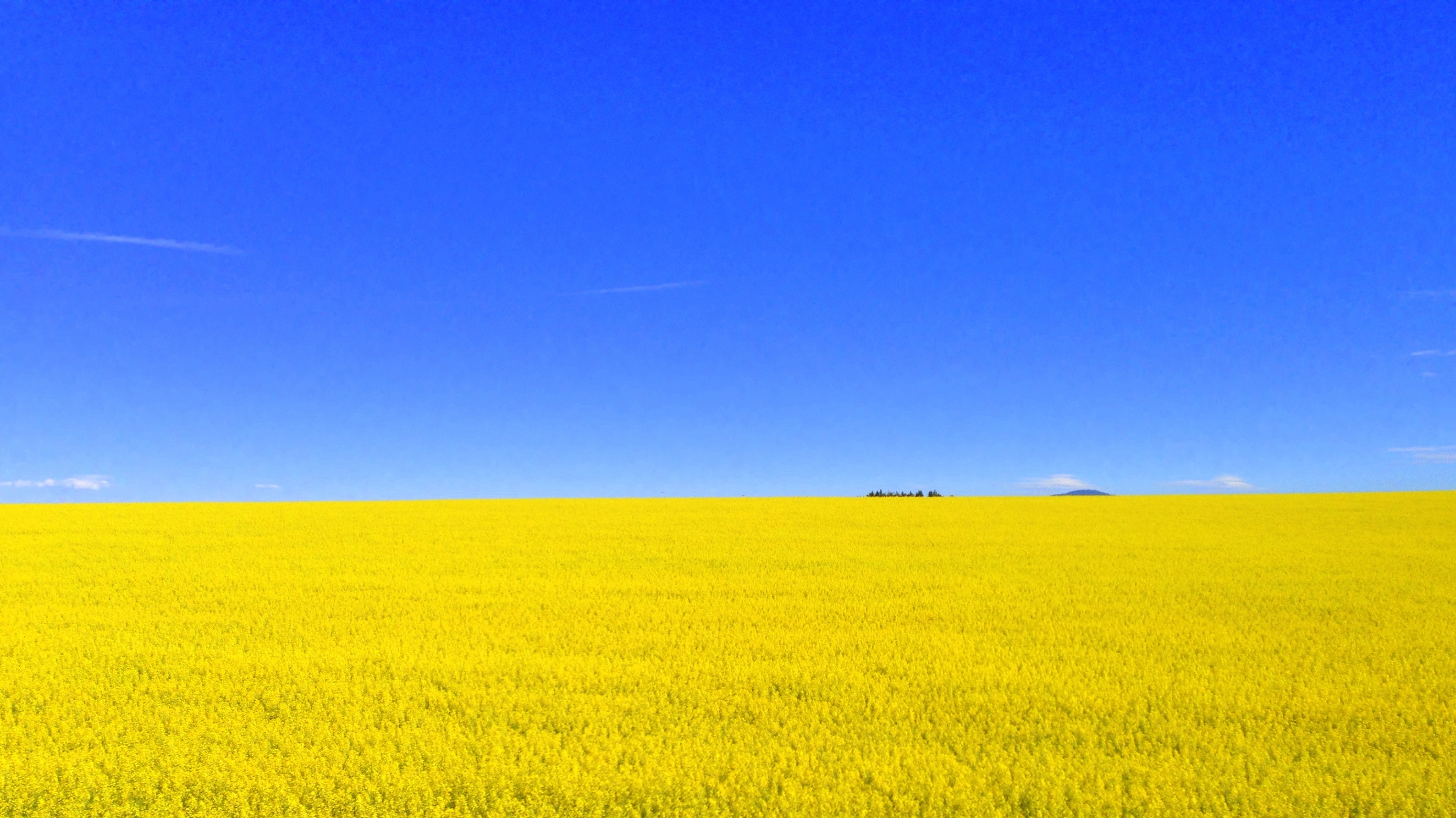
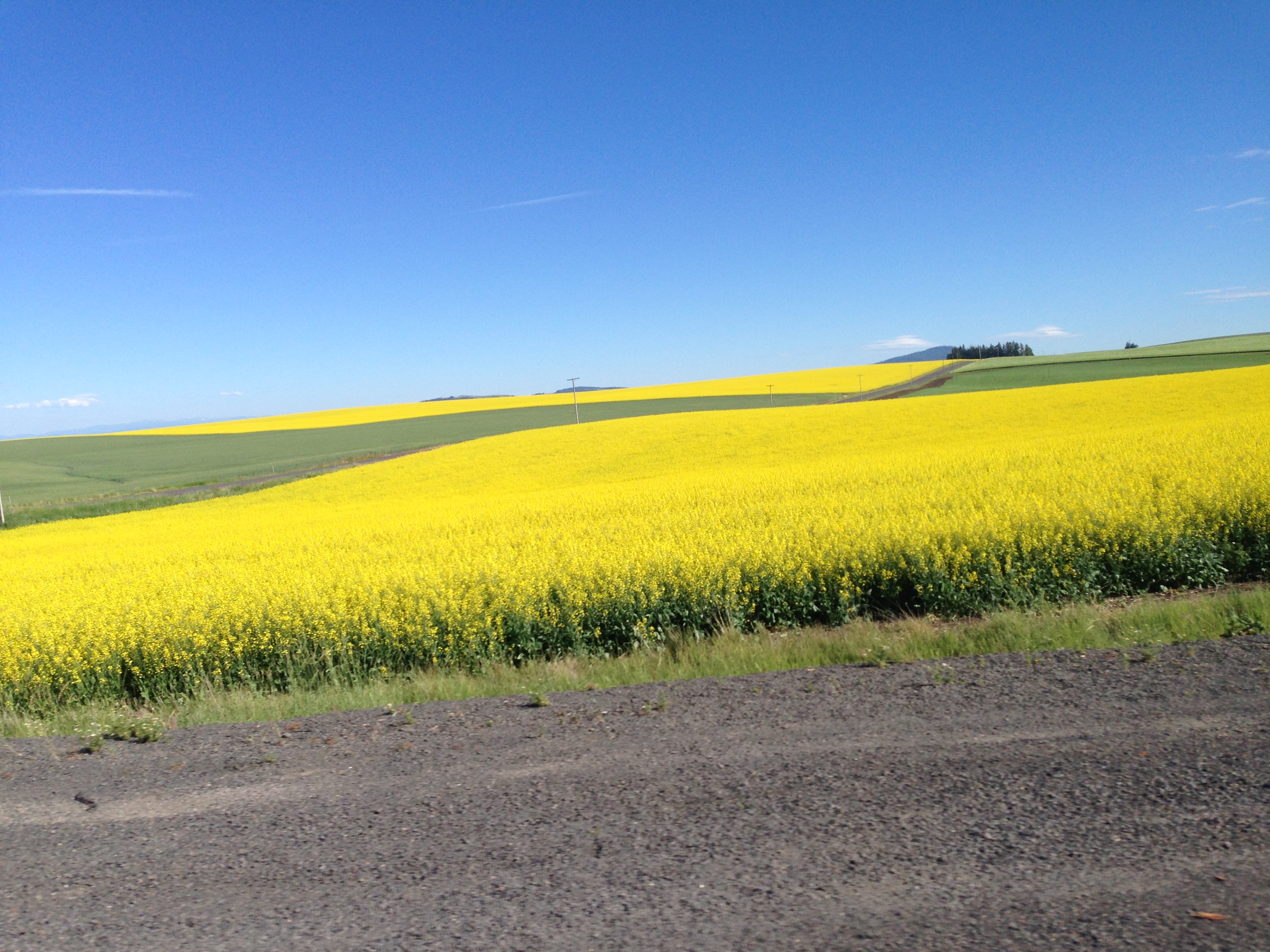
704-Canola plants.JPG (2)
IMG_0959.JPG (2)
DSC_0256-a2
...
...
DSC_0255-a1

DSC_0268-a5
...
...
...
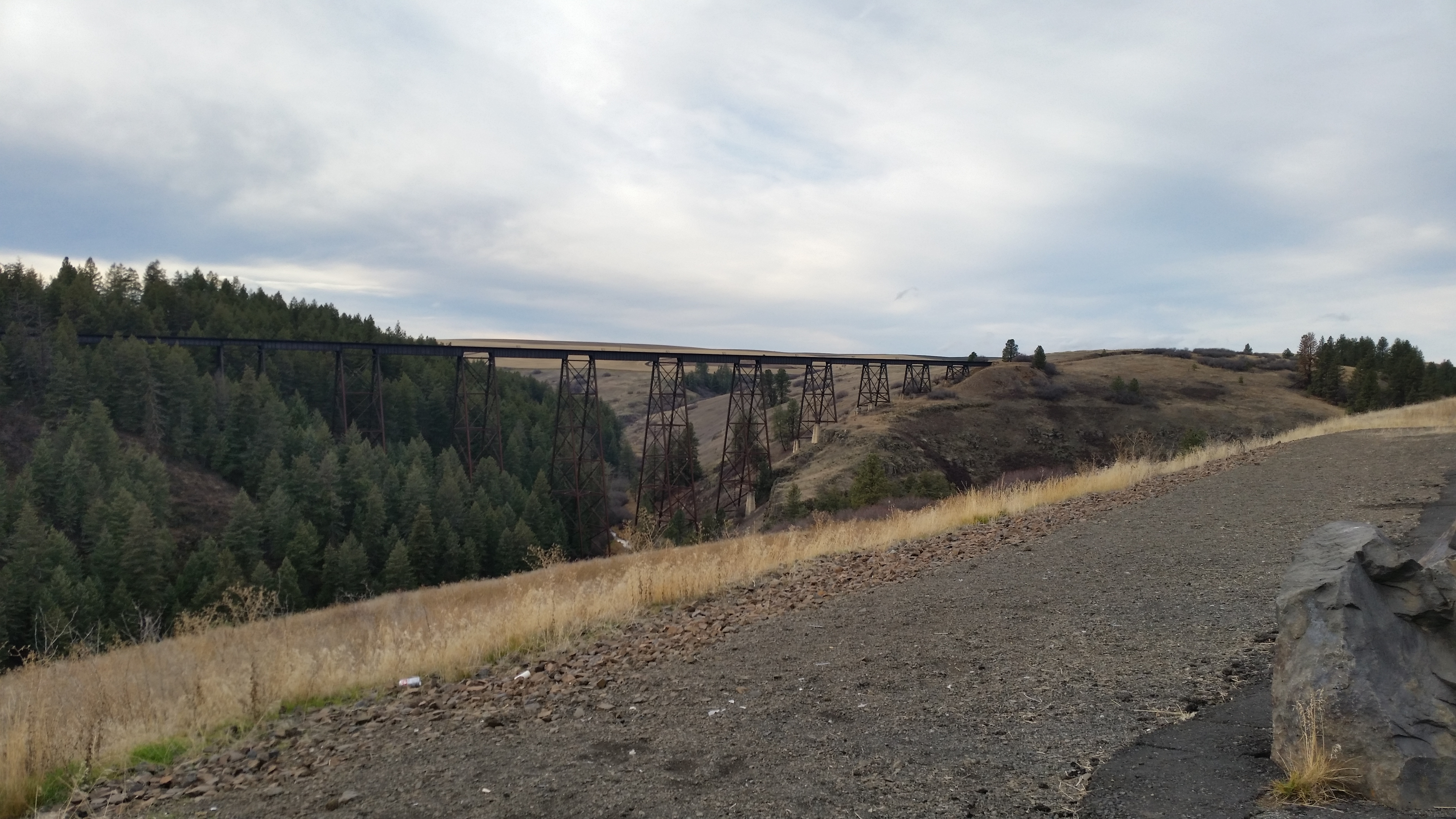
Railroad Trestles
...
Topographic Map of Main St, Ferdinand, ID, USA
Find elevation by address:

Places near Main St, Ferdinand, ID, USA:
Ferdinand
Cottonwood
Junction St, Cottonwood, ID, USA
Lewis County
Graves Creek Road
Fourth Ave, Nezperce, ID, USA
Nezperce
ID-, Kamiah, ID, USA
Winchester Lake State Park
Winchester
Forest Road
323 Winona Rd
1262 Thorn Springs Rd
441 Olander Rd
Canfield
2109 Id-11
Greer
Greer Grade Rd, Nezperce, ID, USA
Gold Wagon Drive
20 Fish Hatchery Rd
Recent Searches:
- Elevation of Elwyn Dr, Roanoke Rapids, NC, USA
- Elevation of Congressional Dr, Stevensville, MD, USA
- Elevation of Bellview Rd, McLean, VA, USA
- Elevation of Stage Island Rd, Chatham, MA, USA
- Elevation of Shibuya Scramble Crossing, 21 Udagawacho, Shibuya City, Tokyo -, Japan
- Elevation of Jadagoniai, Kaunas District Municipality, Lithuania
- Elevation of Pagonija rock, Kranto 7-oji g. 8"N, Kaunas, Lithuania
- Elevation of Co Rd 87, Jamestown, CO, USA
- Elevation of Tenjo, Cundinamarca, Colombia
- Elevation of Côte-des-Neiges, Montreal, QC H4A 3J6, Canada