Elevation of Fourth Ave, Nezperce, ID, USA
Location: United States > Idaho > Lewis County > Nezperce >
Longitude: -116.24251
Latitude: 46.2351397
Elevation: 978m / 3209feet
Barometric Pressure: 90KPa
Elevation Map:
Satellite Map:
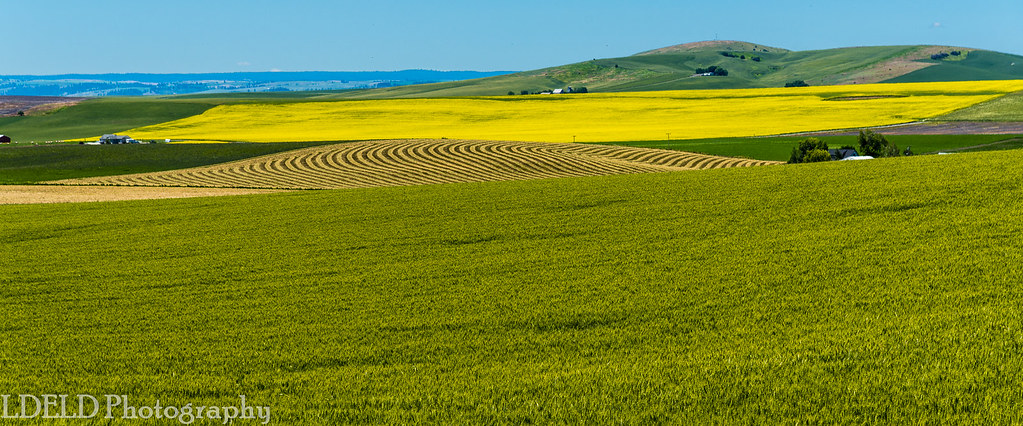
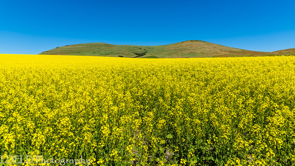
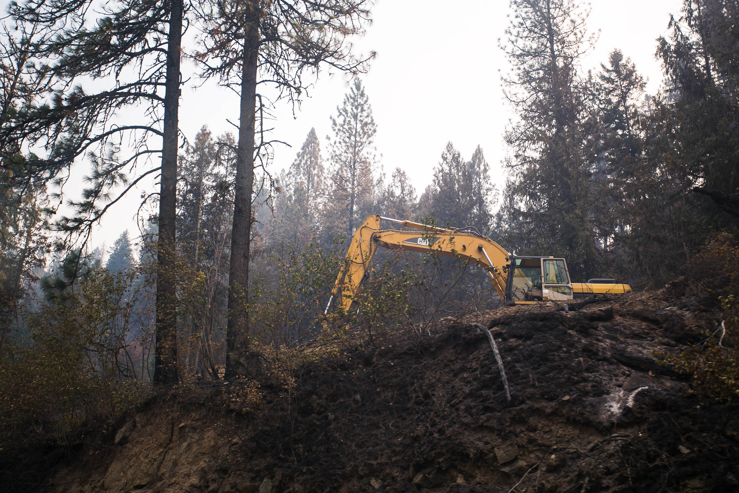
Related Photos:
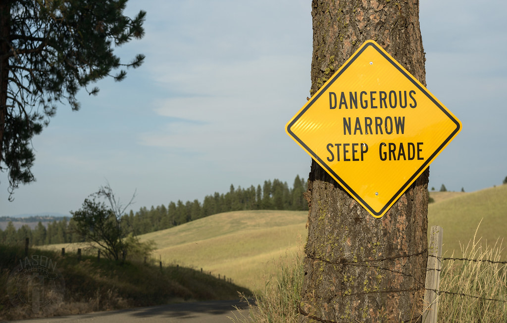
Greer down

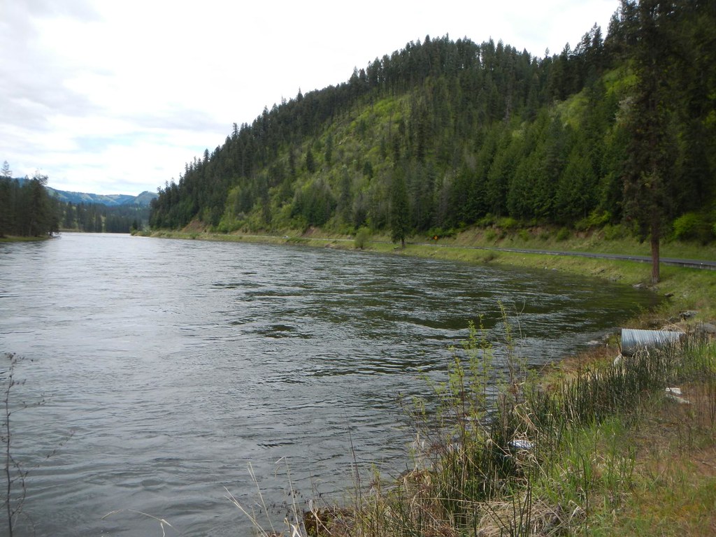
View from the cemetary

View from the cemetary

Nezperce, Idaho!

Fighting for the Last Piece of Harvest!

Pardon Me!

Following the Contours!

Flying Over the Hills!

Up in Smoke!

View from the cemetary

DSC_0262-a4
DSC_0256-a2

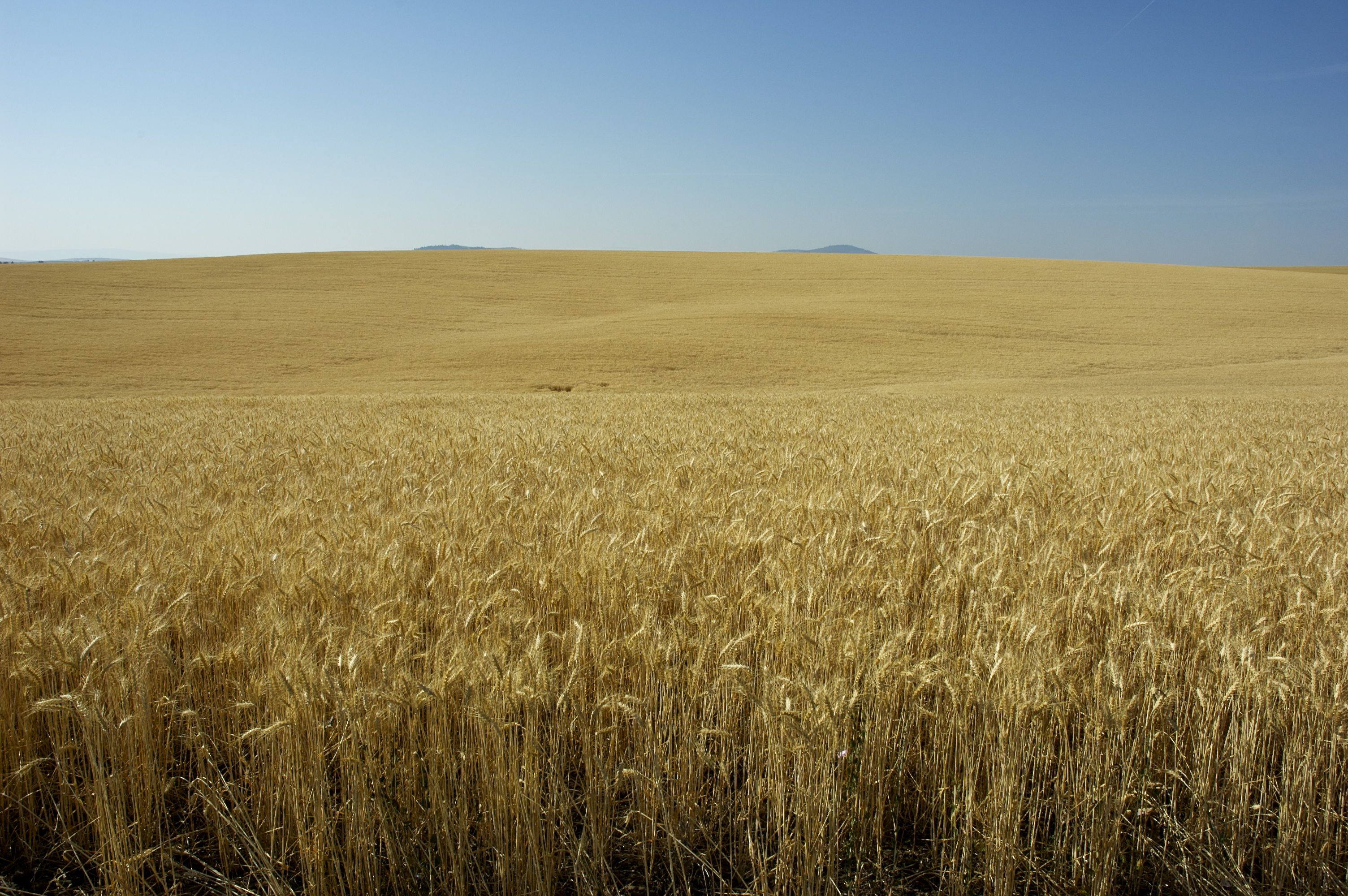
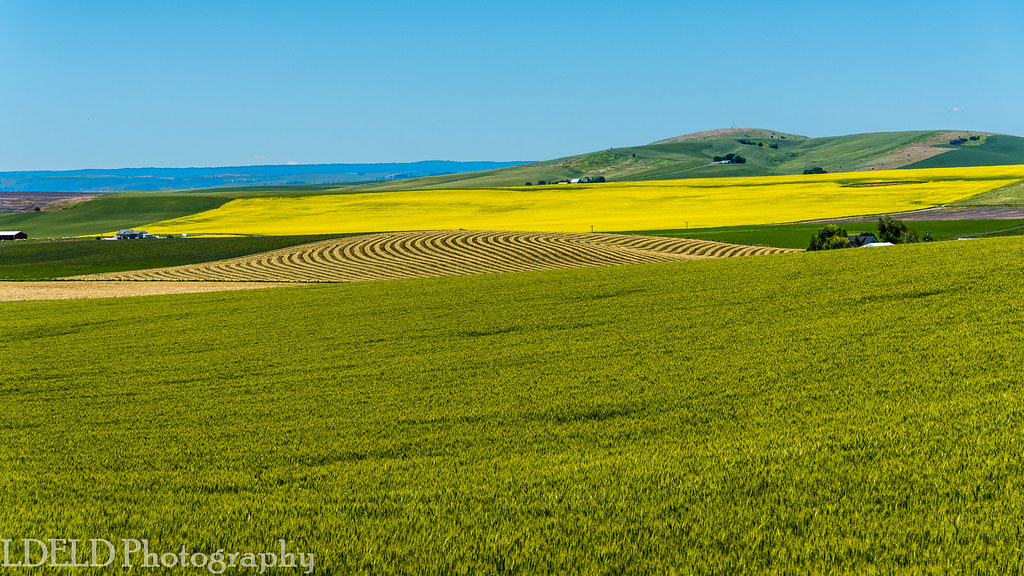
[IDAHO-J-0023] Nezperce Wheat Field
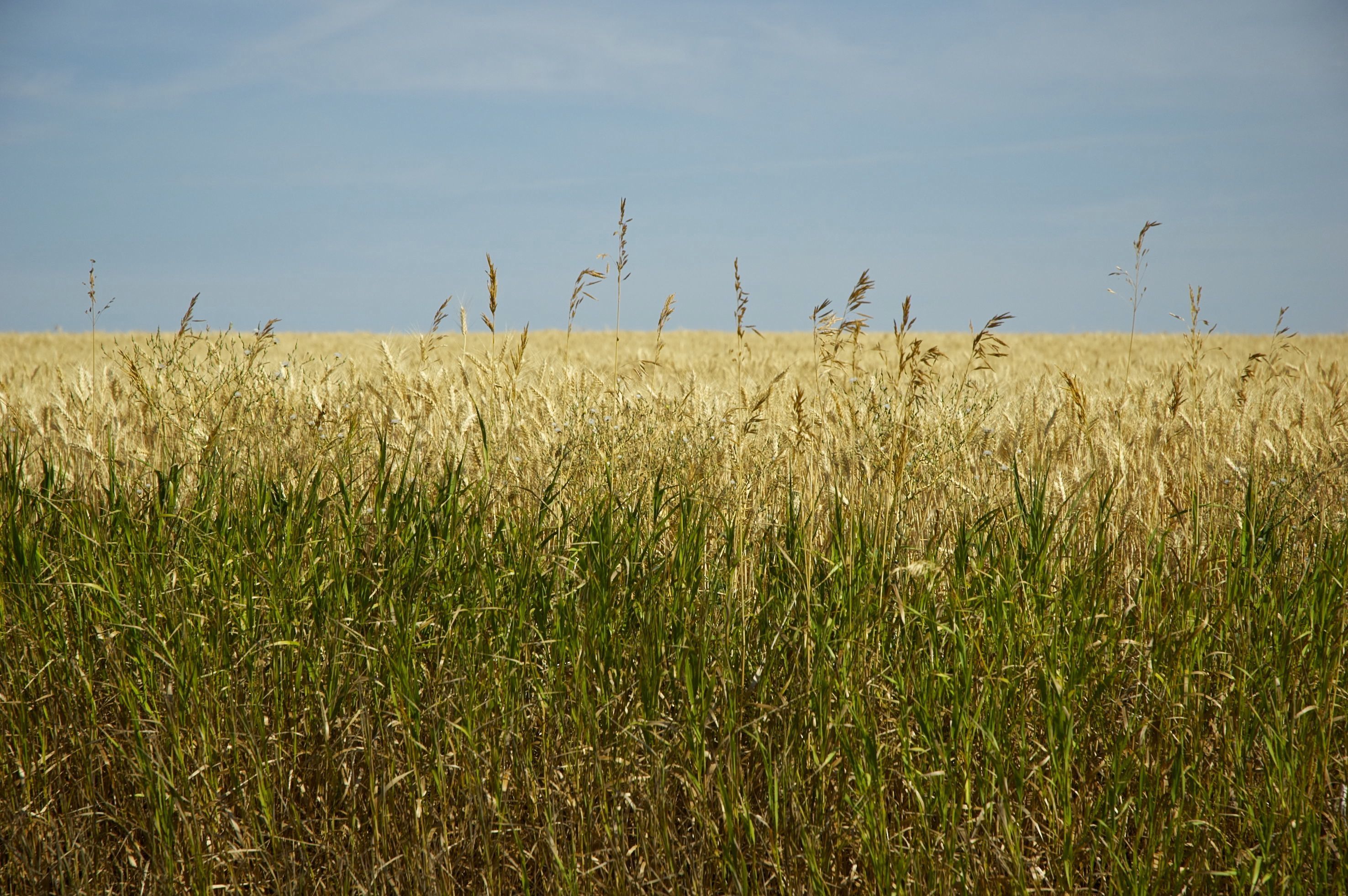
DSC_0255-a1

DSC_0268-a5
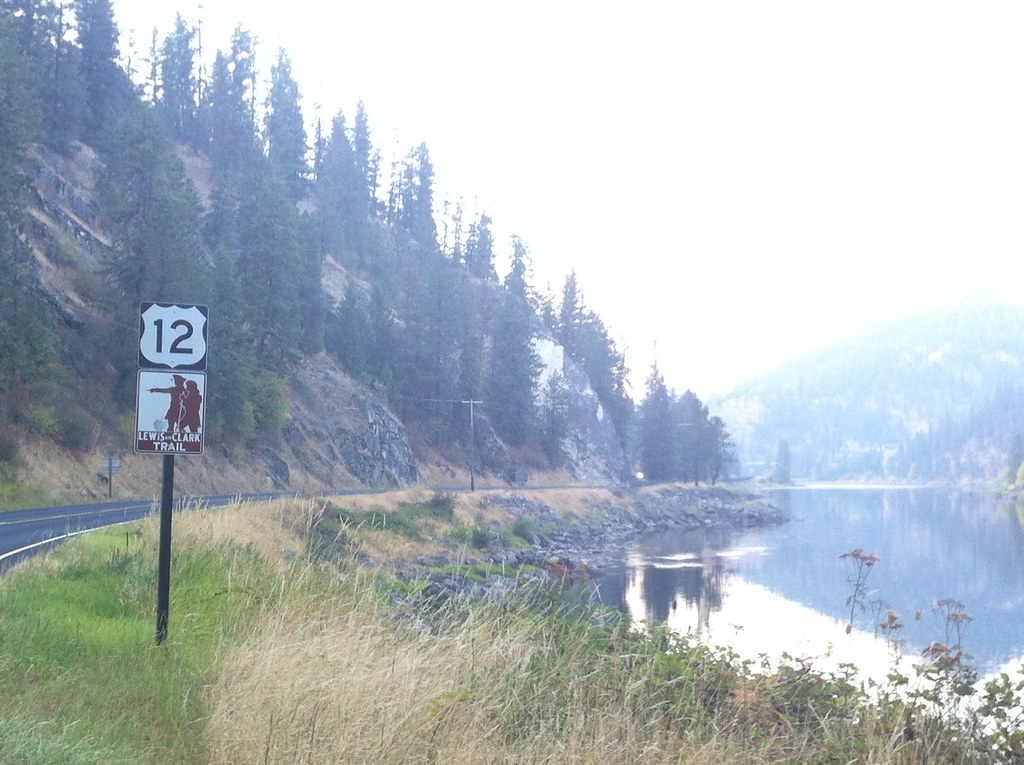
We head west on the Lewis and Clark Trail

Everyday for 7 Weeks–Day 4–Missoula to Coeur d'Alene
Everyday for 7 Weeks–Day 4–Missoula to Coeur d'Alene
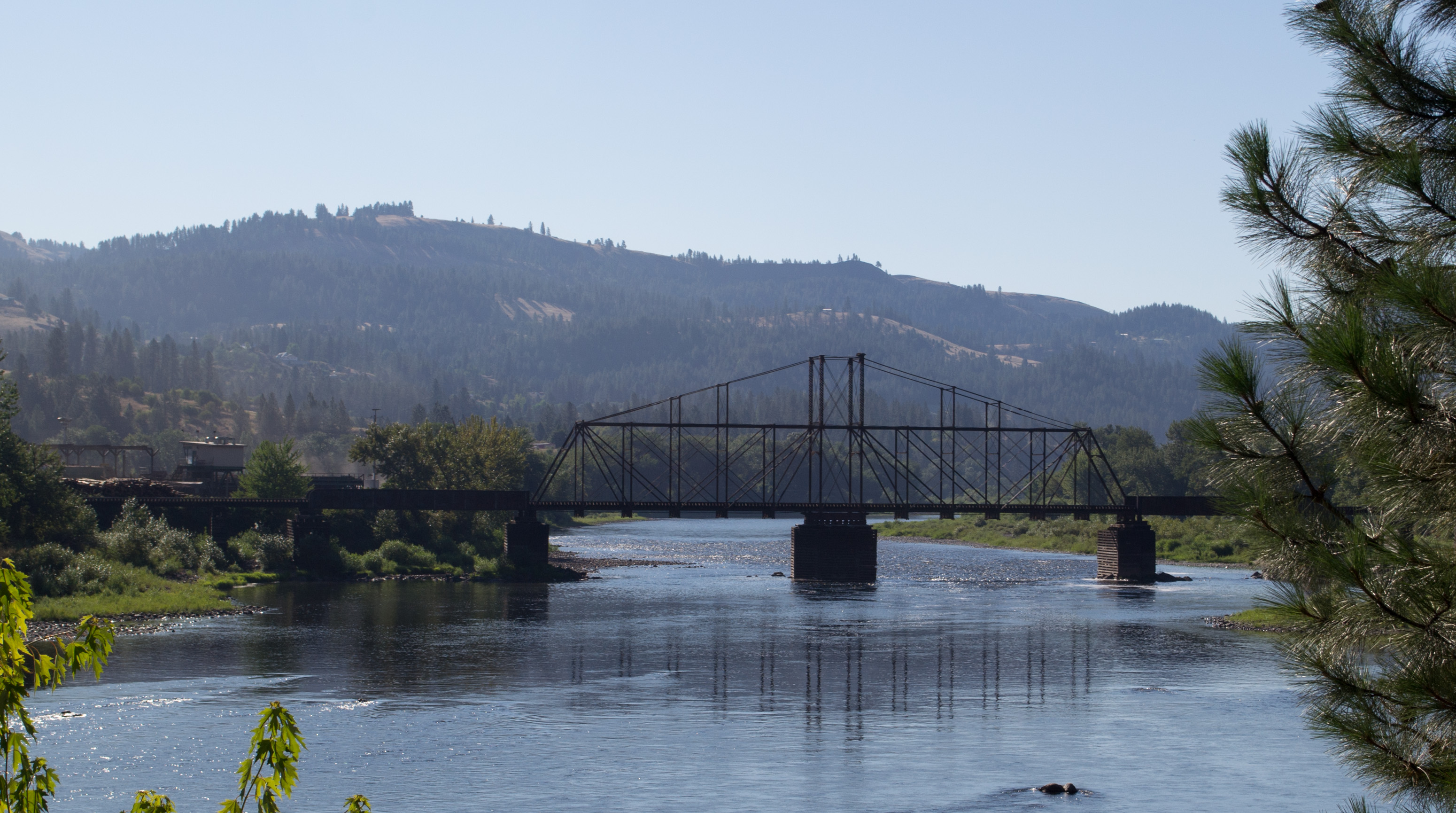
Kamiah ID Bountiful Grain & Craig Mountain railroad (#0153)
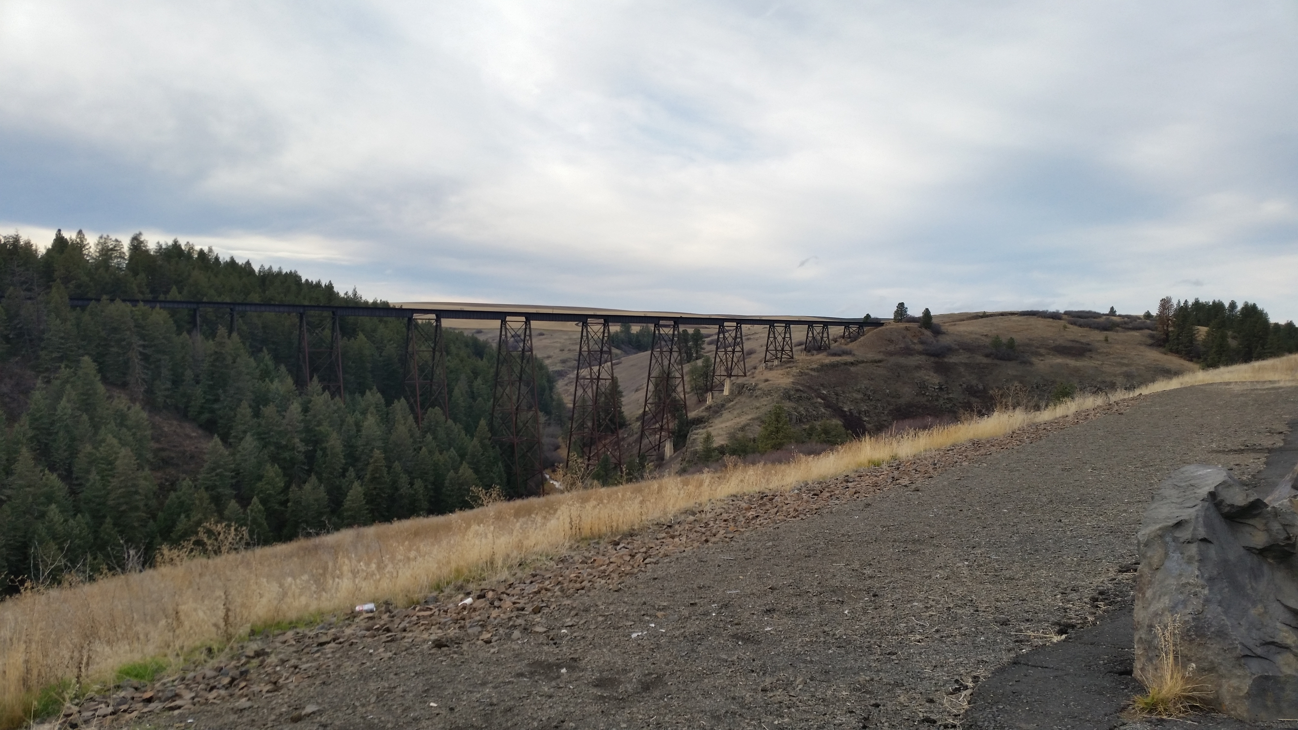
Railroad Trestles
NT3.0039-GLA160628_41660
NT3.0039-GLA160628_41661
NT3.0039-GLA160628_41662
brodo_65_150814.jpg

Kamiah ID Clearwater River (#0154)
Topographic Map of Fourth Ave, Nezperce, ID, USA
Find elevation by address:

Places near Fourth Ave, Nezperce, ID, USA:
Nezperce
ID-, Kamiah, ID, USA
323 Winona Rd
1262 Thorn Springs Rd
2109 Id-11
Lewis County
Main St, Ferdinand, ID, USA
Gold Wagon Drive
Ferdinand
Greer
Greer Grade Rd, Nezperce, ID, USA
ID-11, Nezperce, ID, USA
142 Flying Elk Dr
1773 Gibler Rd
437 Woodland Rd
486 Woodland Rd
Kamiah
Junction St, Cottonwood, ID, USA
Cottonwood
1018 Idaho St
Recent Searches:
- Elevation of Elwyn Dr, Roanoke Rapids, NC, USA
- Elevation of Congressional Dr, Stevensville, MD, USA
- Elevation of Bellview Rd, McLean, VA, USA
- Elevation of Stage Island Rd, Chatham, MA, USA
- Elevation of Shibuya Scramble Crossing, 21 Udagawacho, Shibuya City, Tokyo -, Japan
- Elevation of Jadagoniai, Kaunas District Municipality, Lithuania
- Elevation of Pagonija rock, Kranto 7-oji g. 8"N, Kaunas, Lithuania
- Elevation of Co Rd 87, Jamestown, CO, USA
- Elevation of Tenjo, Cundinamarca, Colombia
- Elevation of Côte-des-Neiges, Montreal, QC H4A 3J6, Canada