Elevation of Lewis County, ID, USA
Location: United States > Idaho >
Longitude: -116.40540
Latitude: 46.2664791
Elevation: 1084m / 3556feet
Barometric Pressure: 89KPa
Elevation Map:
Satellite Map:
Related Photos:

Nezperce, Idaho!
DSC_0255-a1
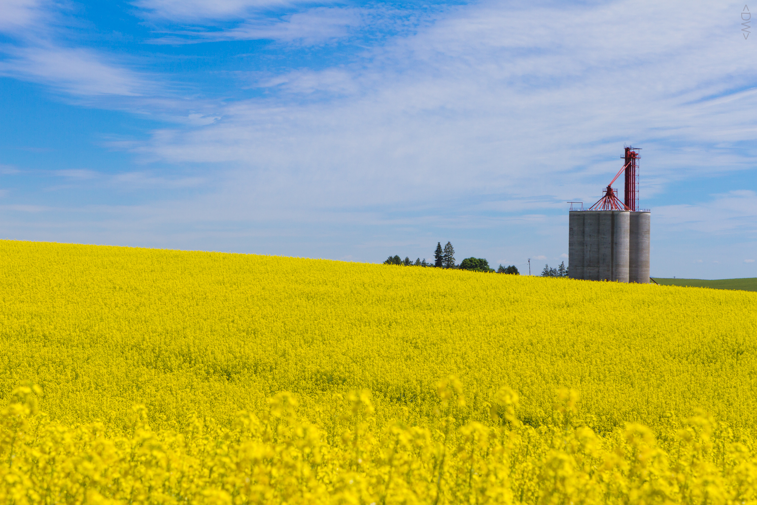
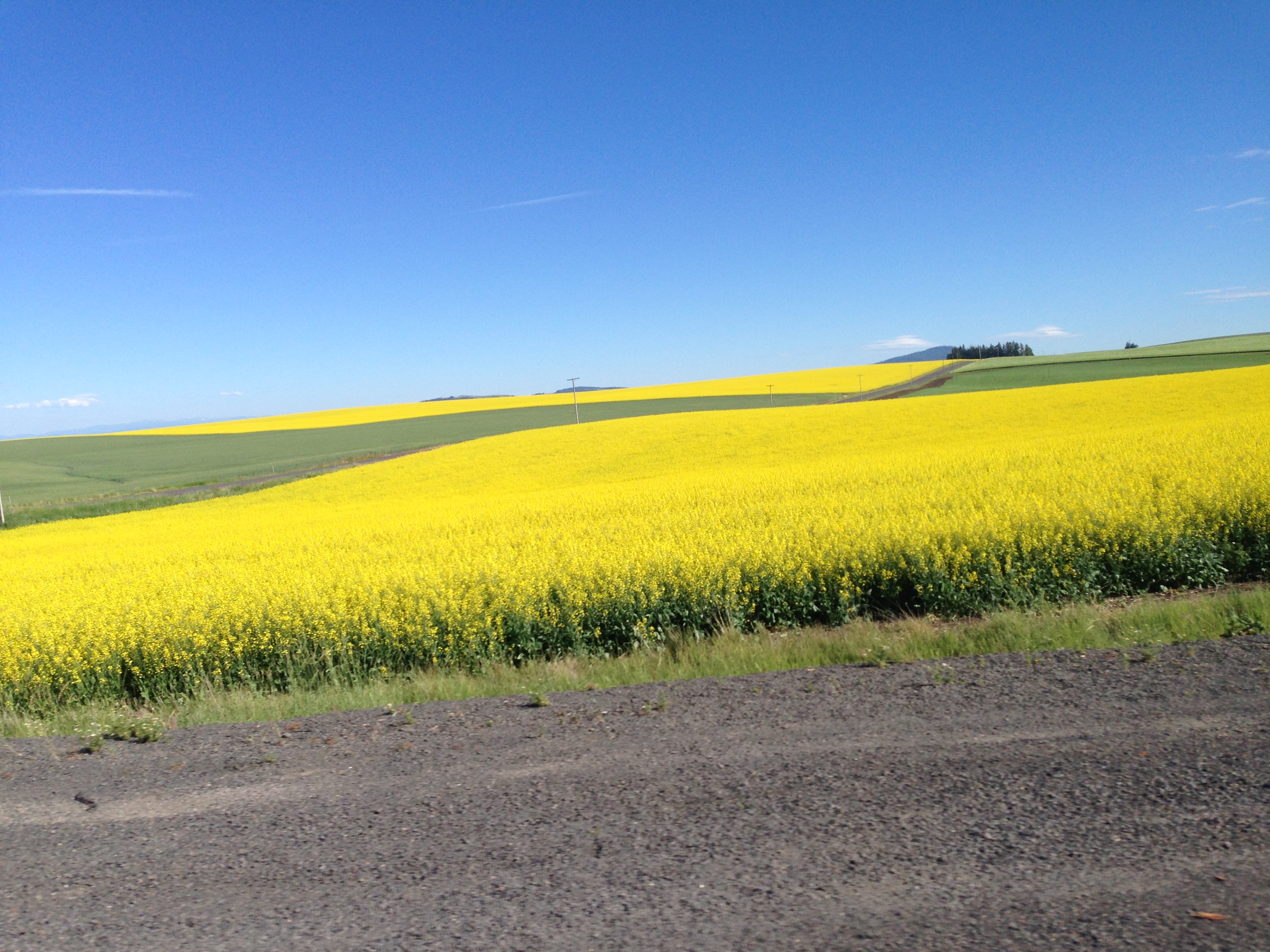
Camas Prairie Rapeseed
IMG_0960.JPG (2)
IMG_0957.JPG (2)
IMG_0959.JPG (2)

DSC_0262-a4
DSC_0256-a2

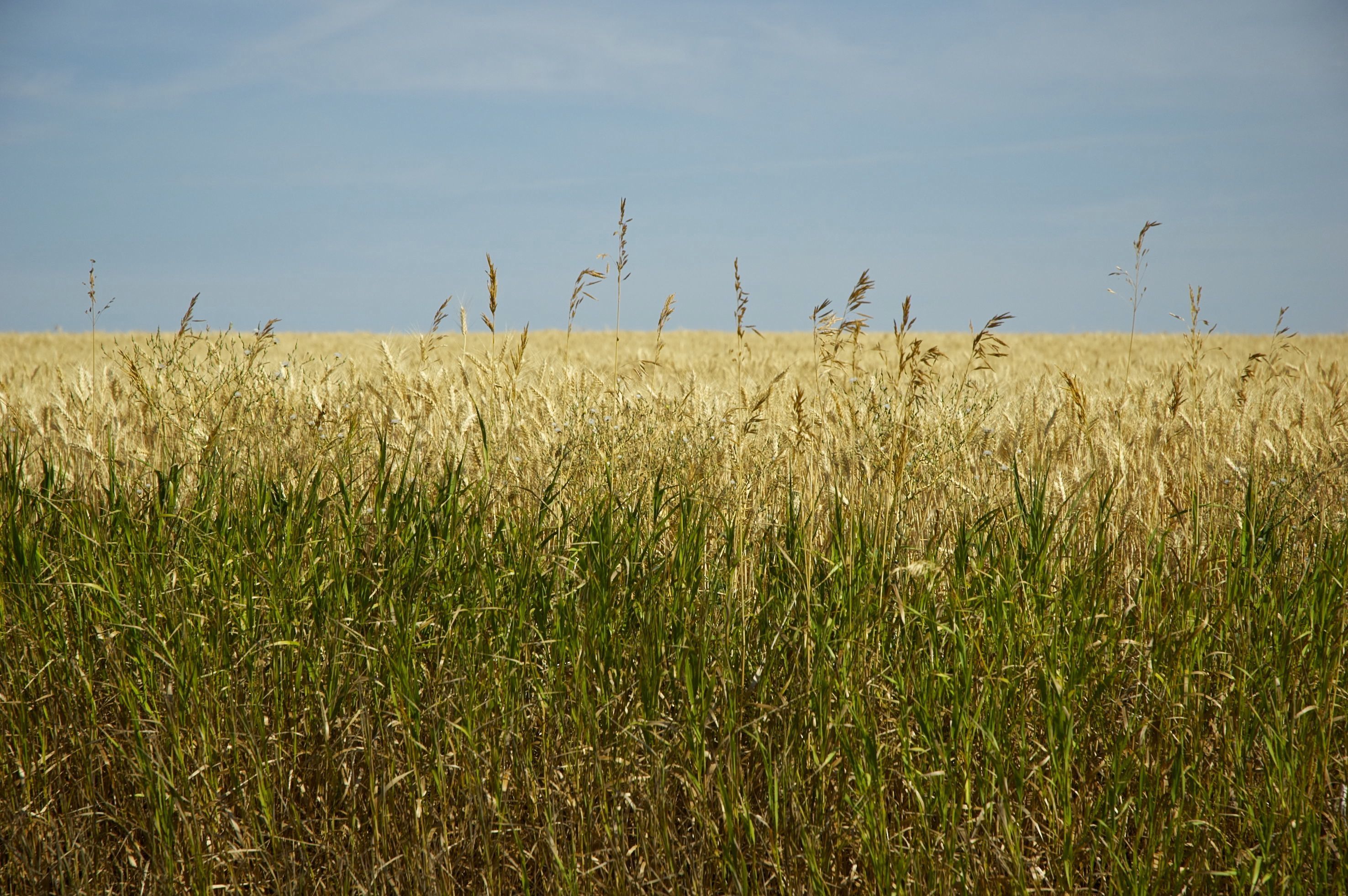
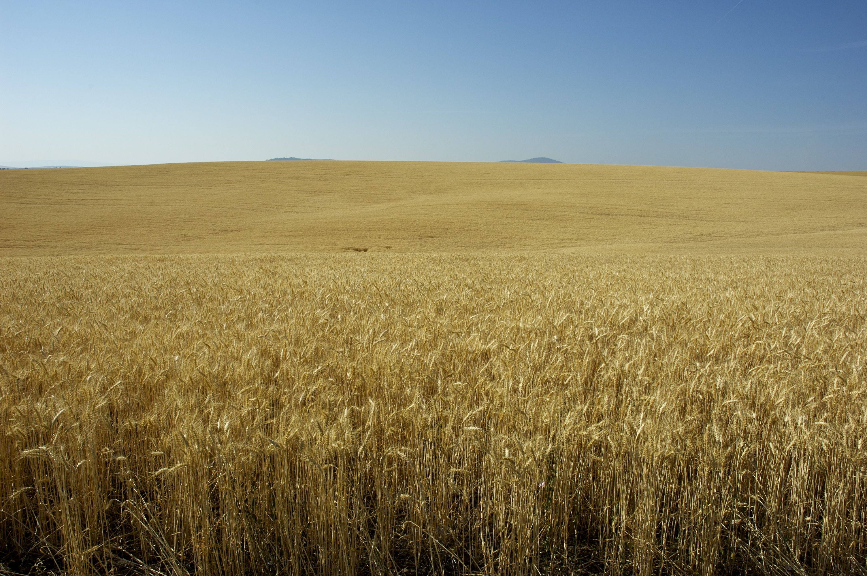
[IDAHO-J-0023] Nezperce Wheat Field
DSC_0258-a3

DSC_0268-a5
Topographic Map of Lewis County, ID, USA
Find elevation by address:

Places in Lewis County, ID, USA:
Places near Lewis County, ID, USA:
Main St, Ferdinand, ID, USA
Ferdinand
Fourth Ave, Nezperce, ID, USA
Nezperce
Winchester Lake State Park
Winchester
Cottonwood
Junction St, Cottonwood, ID, USA
Forest Road
Greer
Greer Grade Rd, Nezperce, ID, USA
2109 Id-11
ID-, Kamiah, ID, USA
Gold Wagon Drive
441 Olander Rd
Graves Creek Road
503 Culdesac Ave
602 Main St
Culdesac
ID-11, Nezperce, ID, USA
Recent Searches:
- Elevation of Pykes Down, Ivybridge PL21 0BY, UK
- Elevation of Jalan Senandin, Lutong, Miri, Sarawak, Malaysia
- Elevation of Bilohirs'k
- Elevation of 30 Oak Lawn Dr, Barkhamsted, CT, USA
- Elevation of Luther Road, Luther Rd, Auburn, CA, USA
- Elevation of Unnamed Road, Respublika Severnaya Osetiya — Alaniya, Russia
- Elevation of Verkhny Fiagdon, North Ossetia–Alania Republic, Russia
- Elevation of F. Viola Hiway, San Rafael, Bulacan, Philippines
- Elevation of Herbage Dr, Gulfport, MS, USA
- Elevation of Lilac Cir, Haldimand, ON N3W 2G9, Canada