Elevation of ID-, Kamiah, ID, USA
Location: United States > Idaho > Lewis County > Kamiah >
Longitude: -116.17746
Latitude: 46.1354029
Elevation: 943m / 3094feet
Barometric Pressure: 90KPa
Elevation Map:
Satellite Map:
Related Photos:

Nezperce, Idaho!

Pardon Me!

Flying Over the Hills!

View from the doorway at the Clearwater 12 Motel

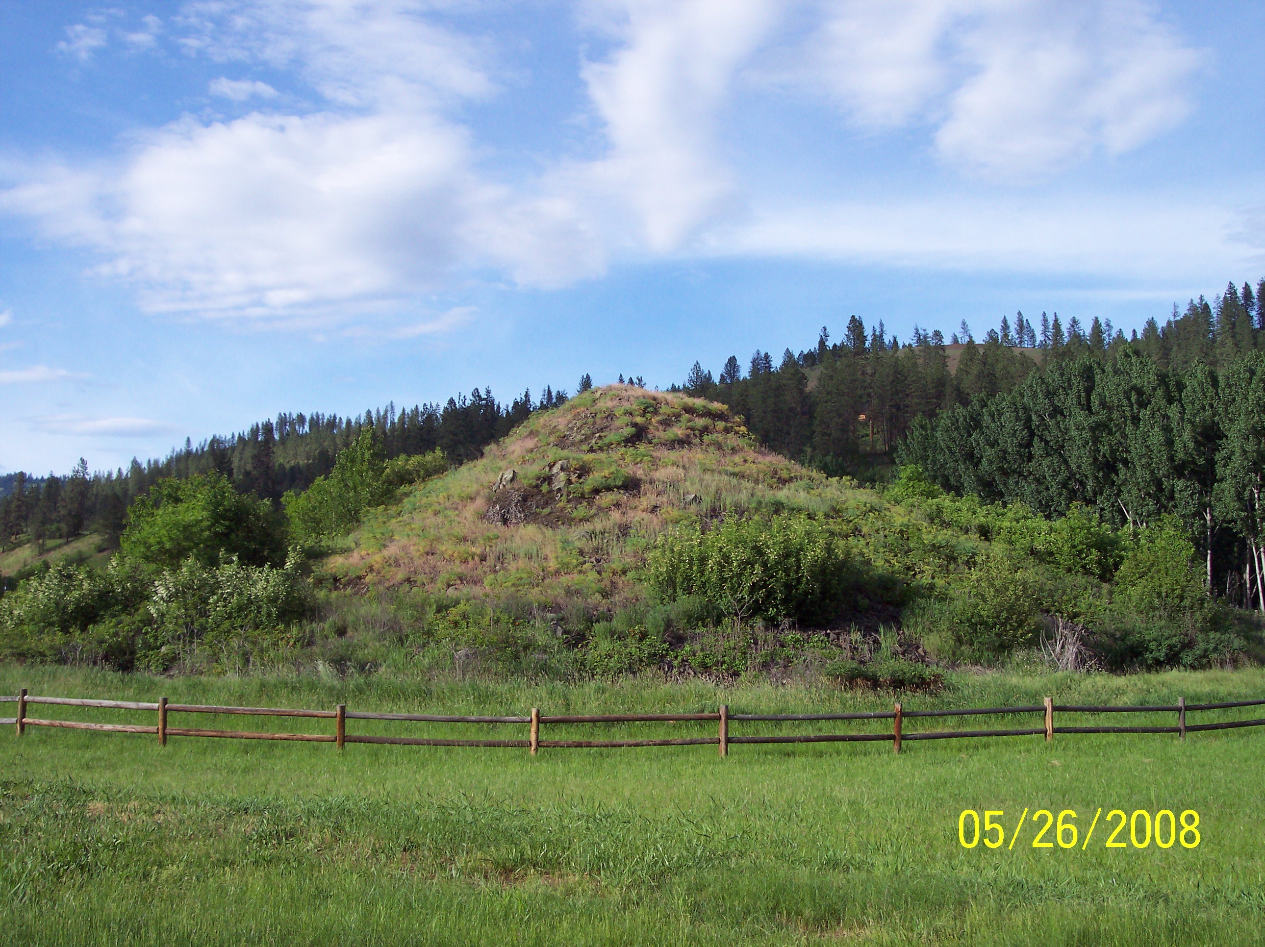
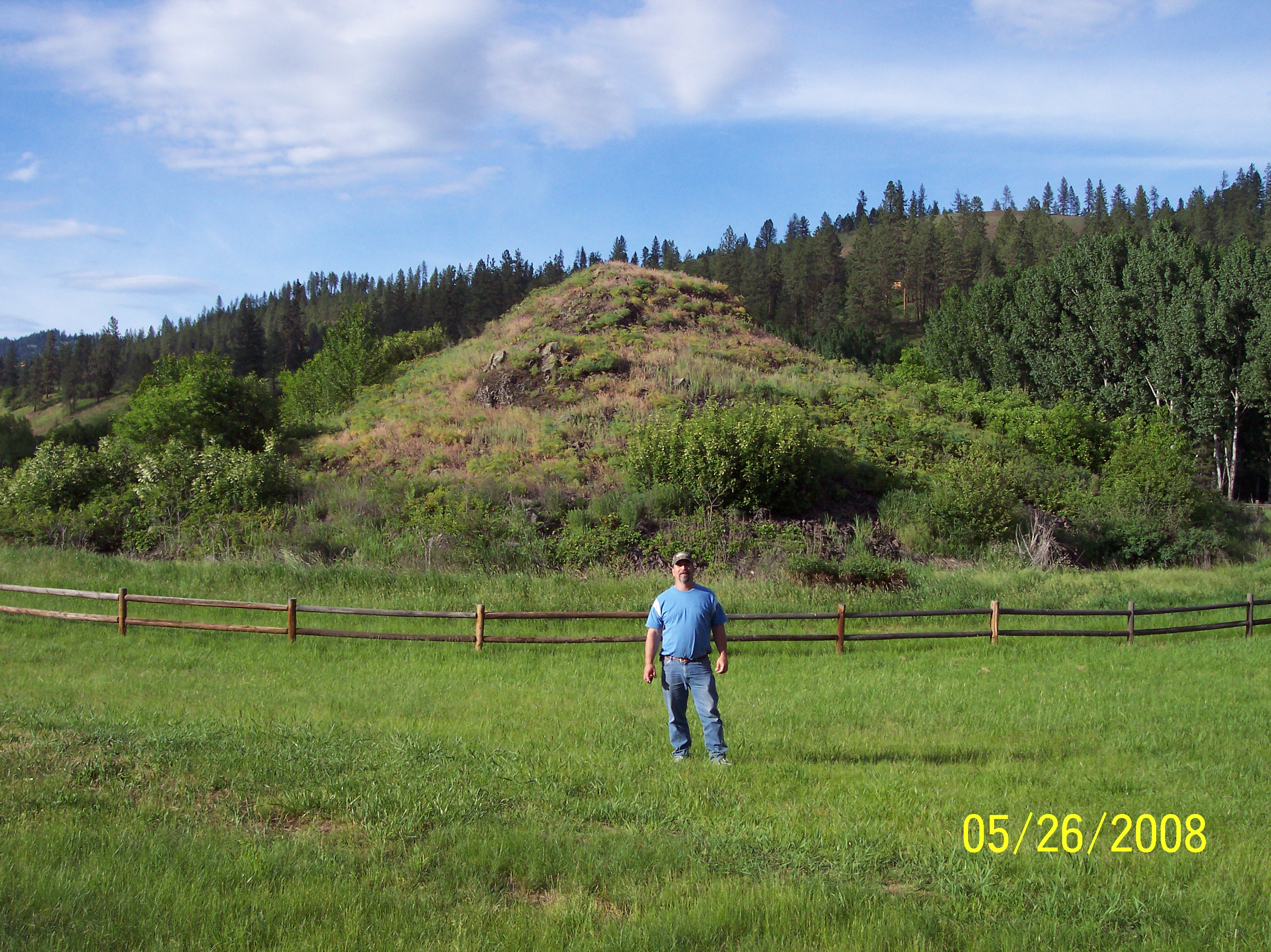
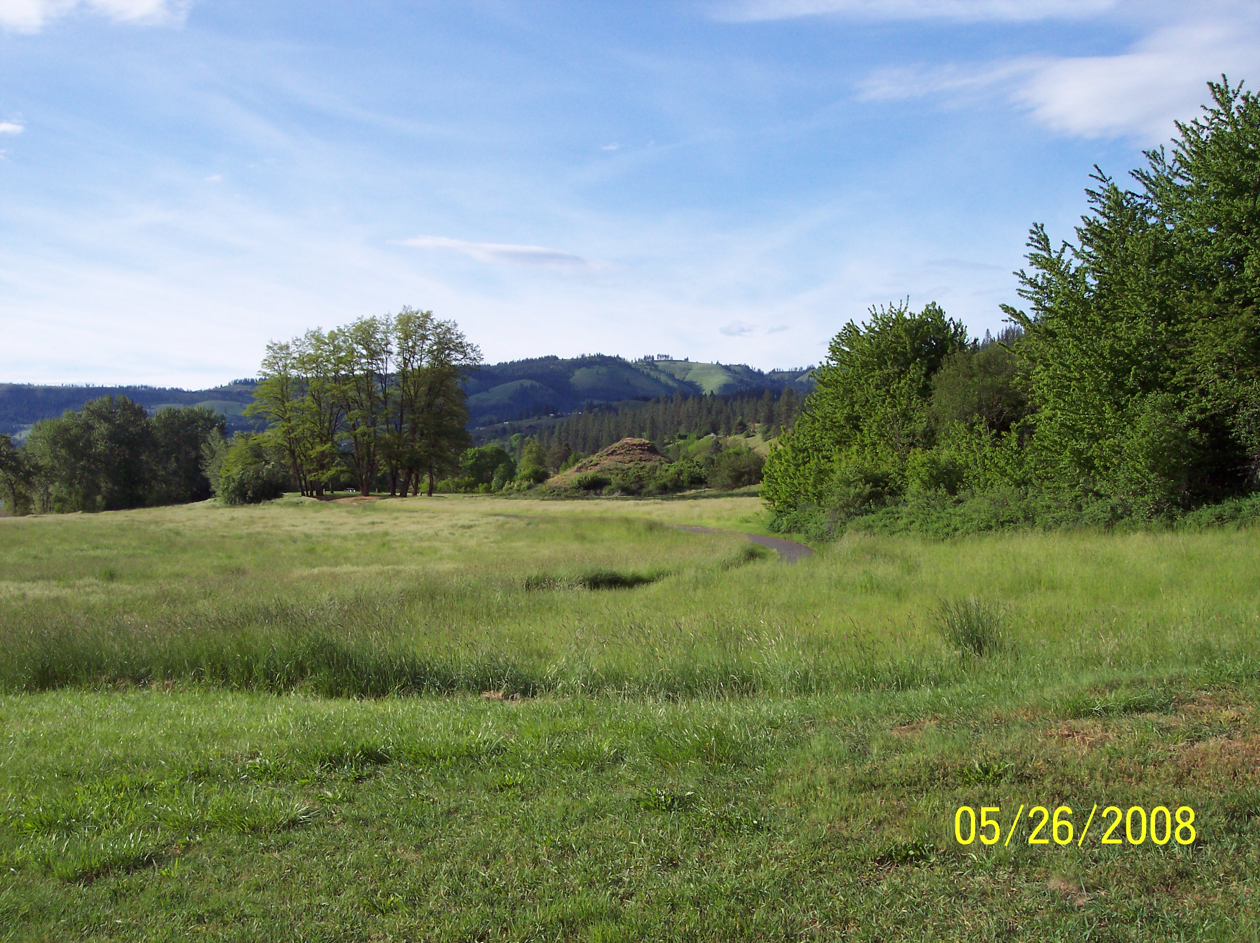
View from the cemetary

View from the cemetary

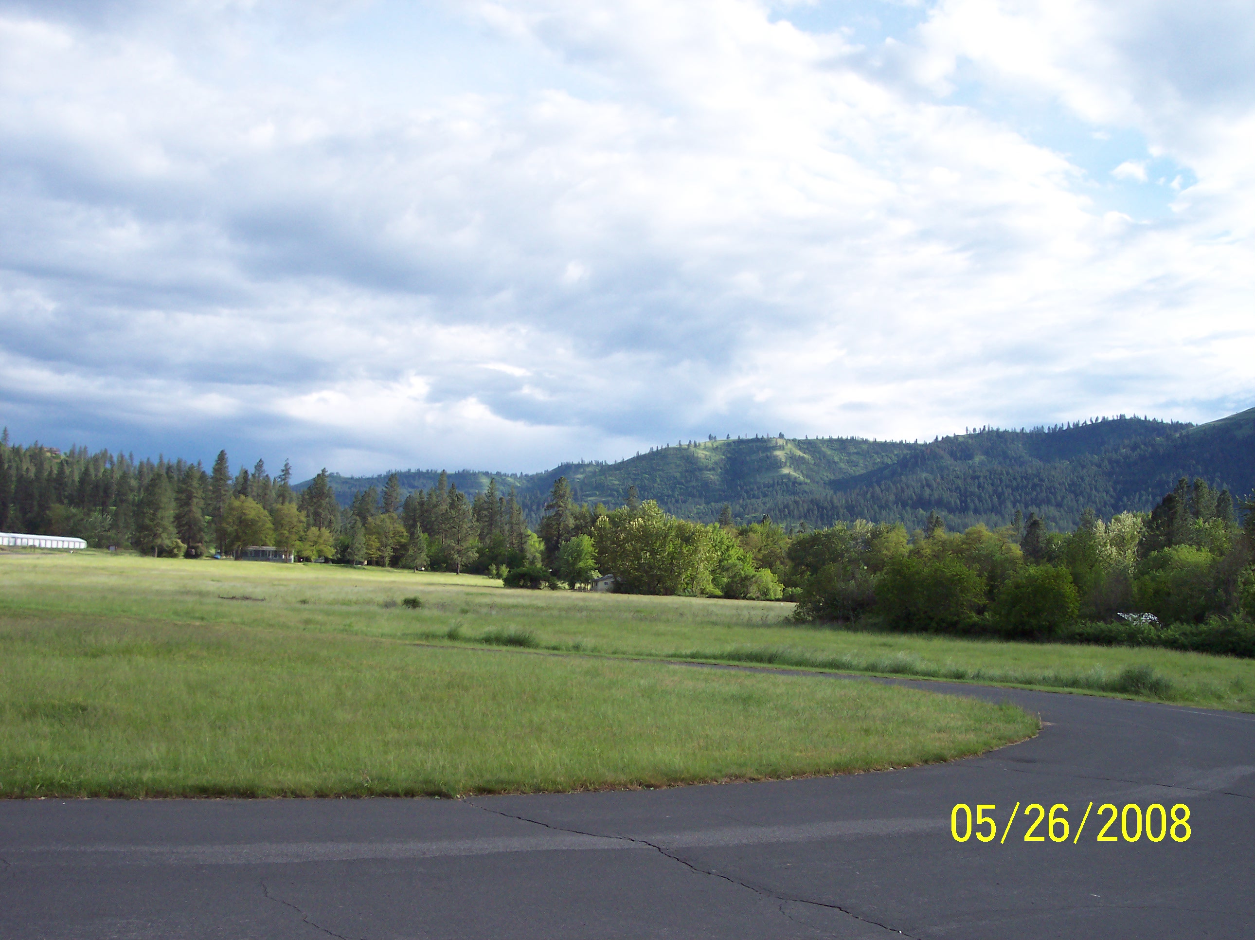
View of mountains

Keeping a clear view

View from the cemetary
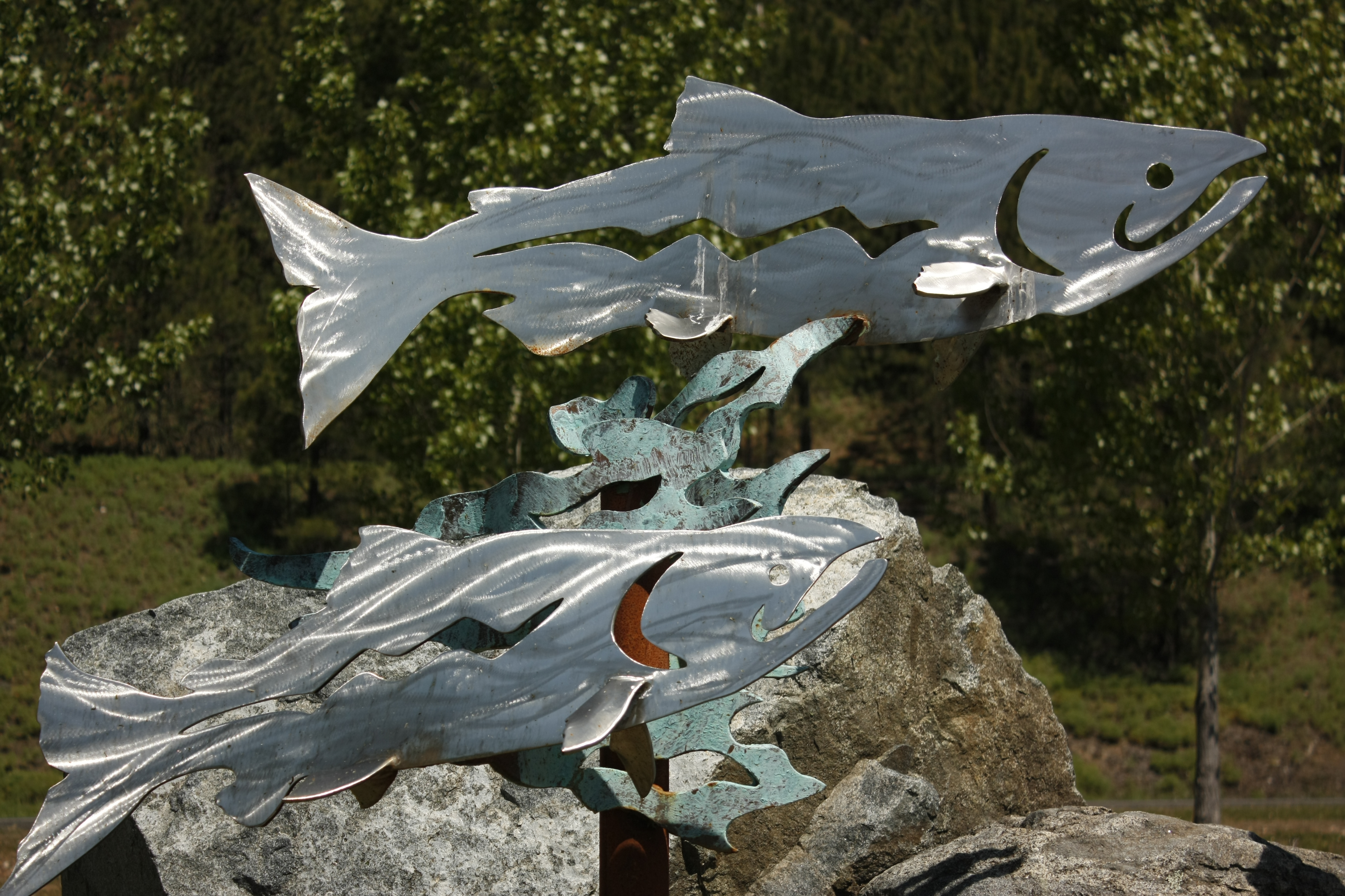
Metal fish
2008RobAndreaMutch 123

2008RobAndreaMutch 117
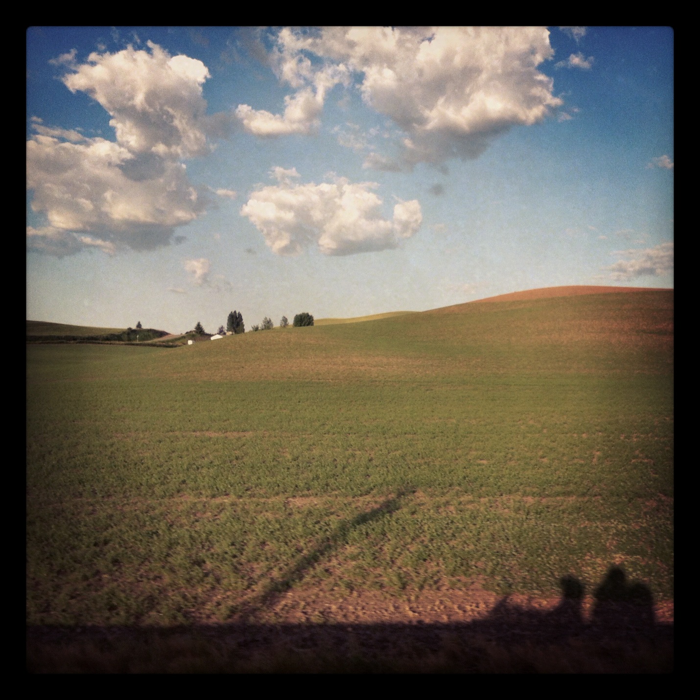
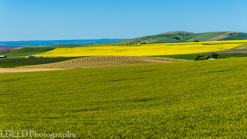
Morning Palouse

2008RobAndreaMutch 122
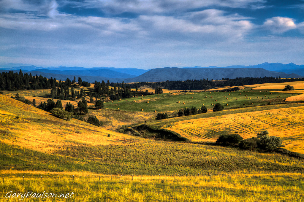
Camas Praire Hills
2008RobAndreaMutch 118

[IDAHO-J-0023] Nezperce Wheat Field
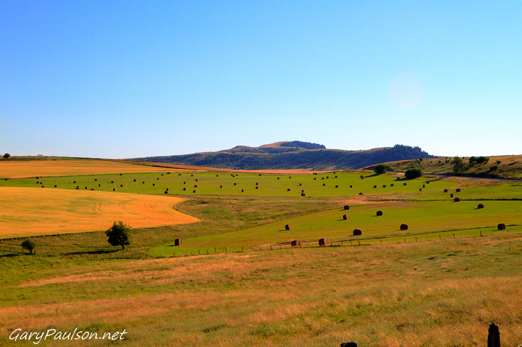
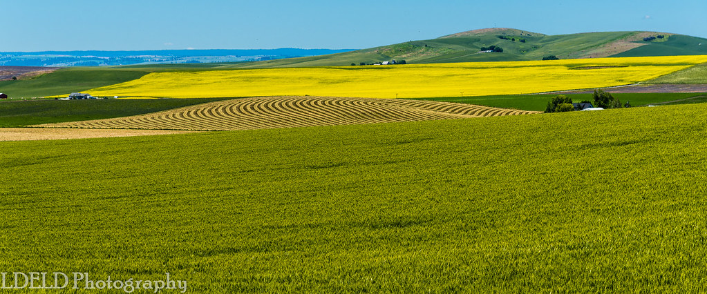
Camas Praire Hay Fields
2008RobAndreaMutch 119
2008RobAndreaMutch 116
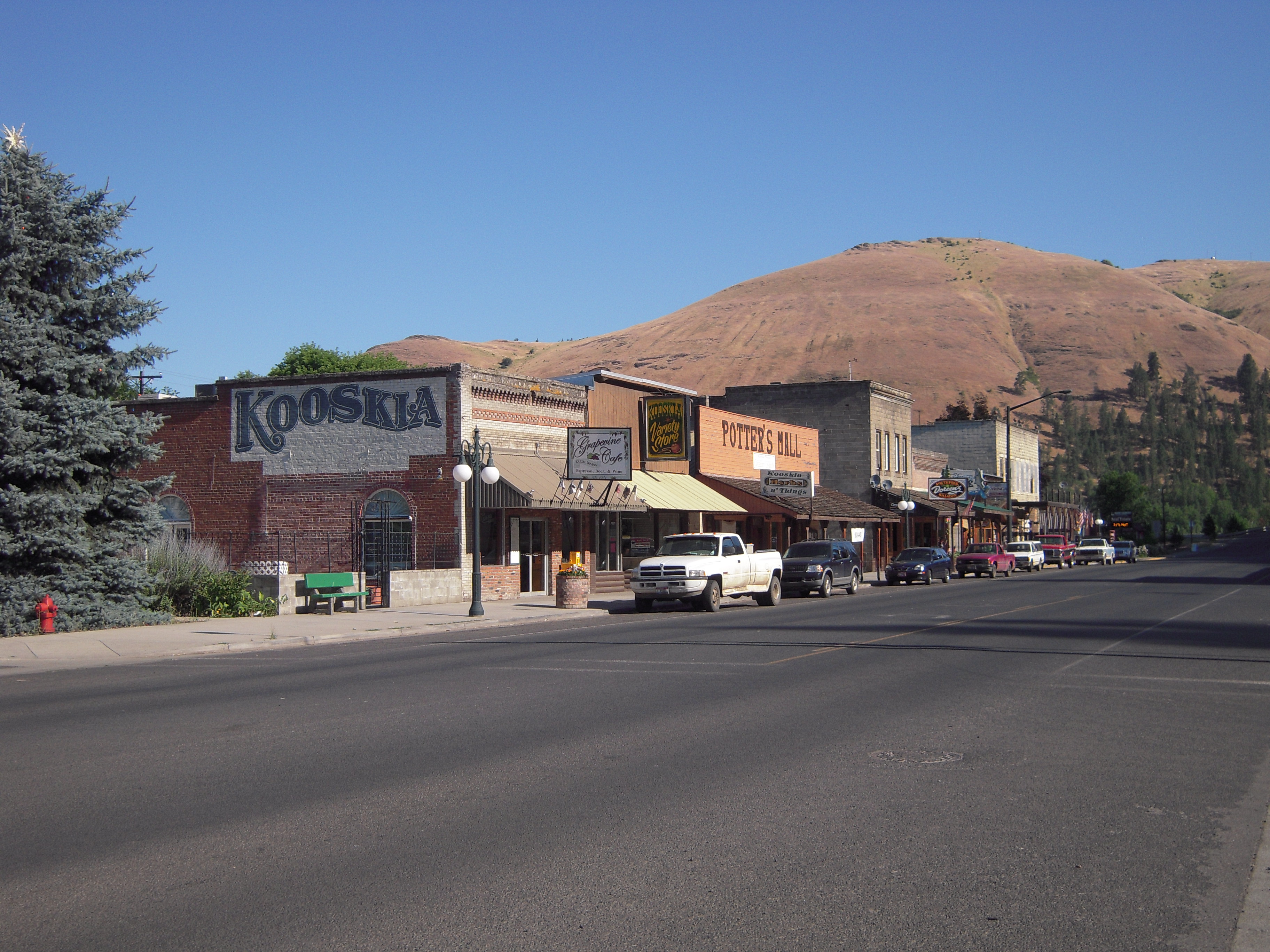
Kooskia Idaho
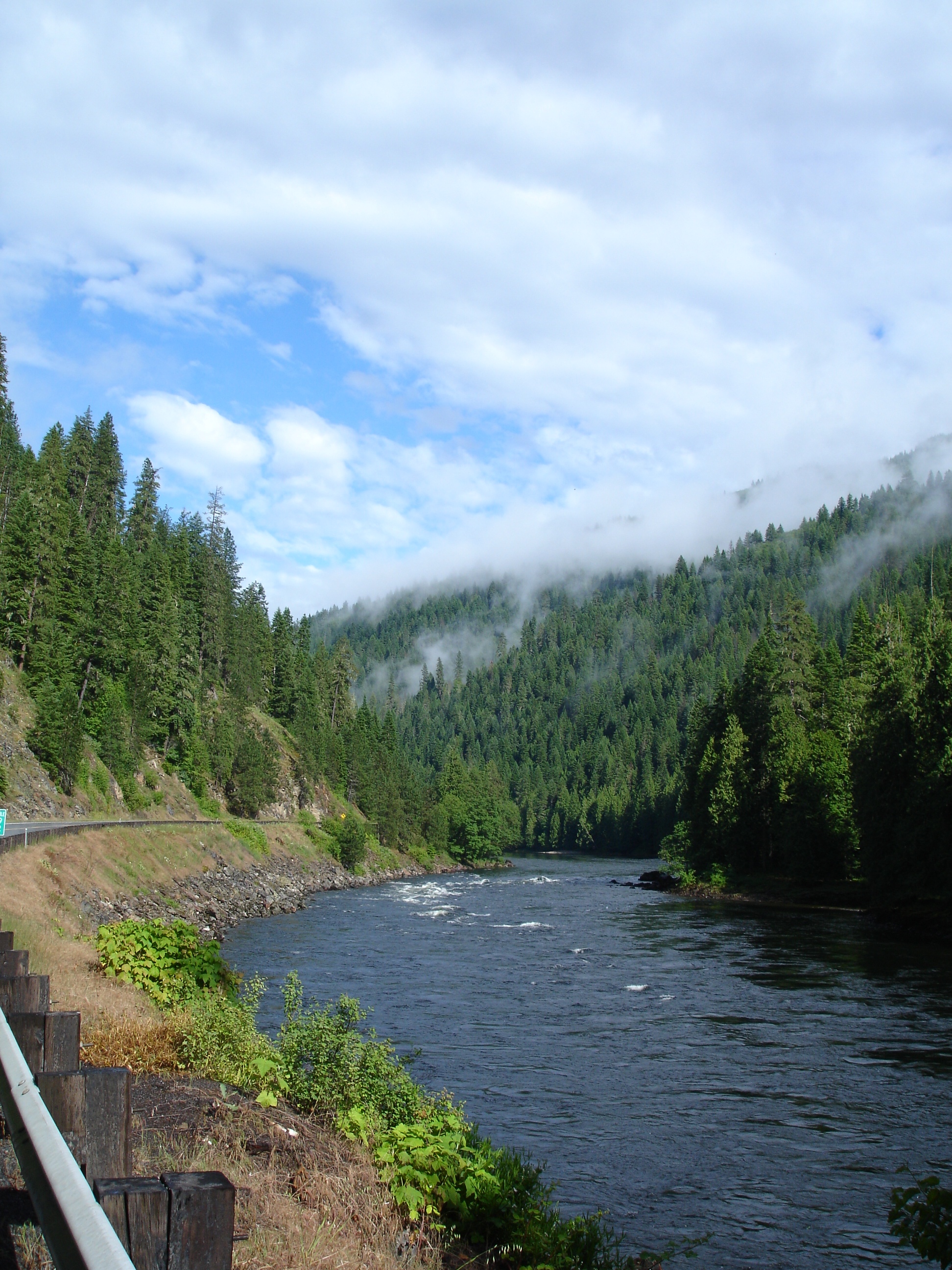
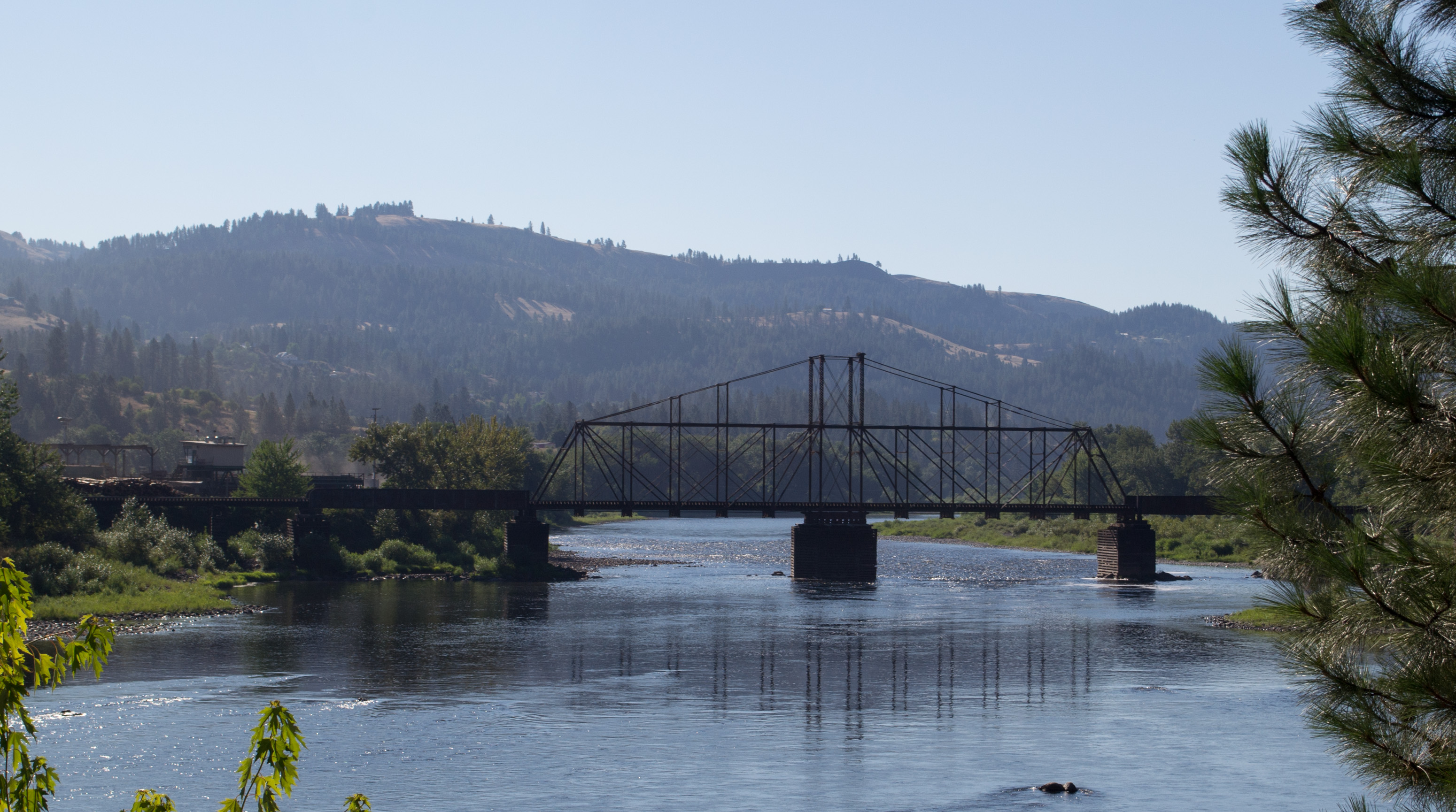
Cleawater River

Everyday for 7 Weeks–Day 4–Missoula to Coeur d'Alene
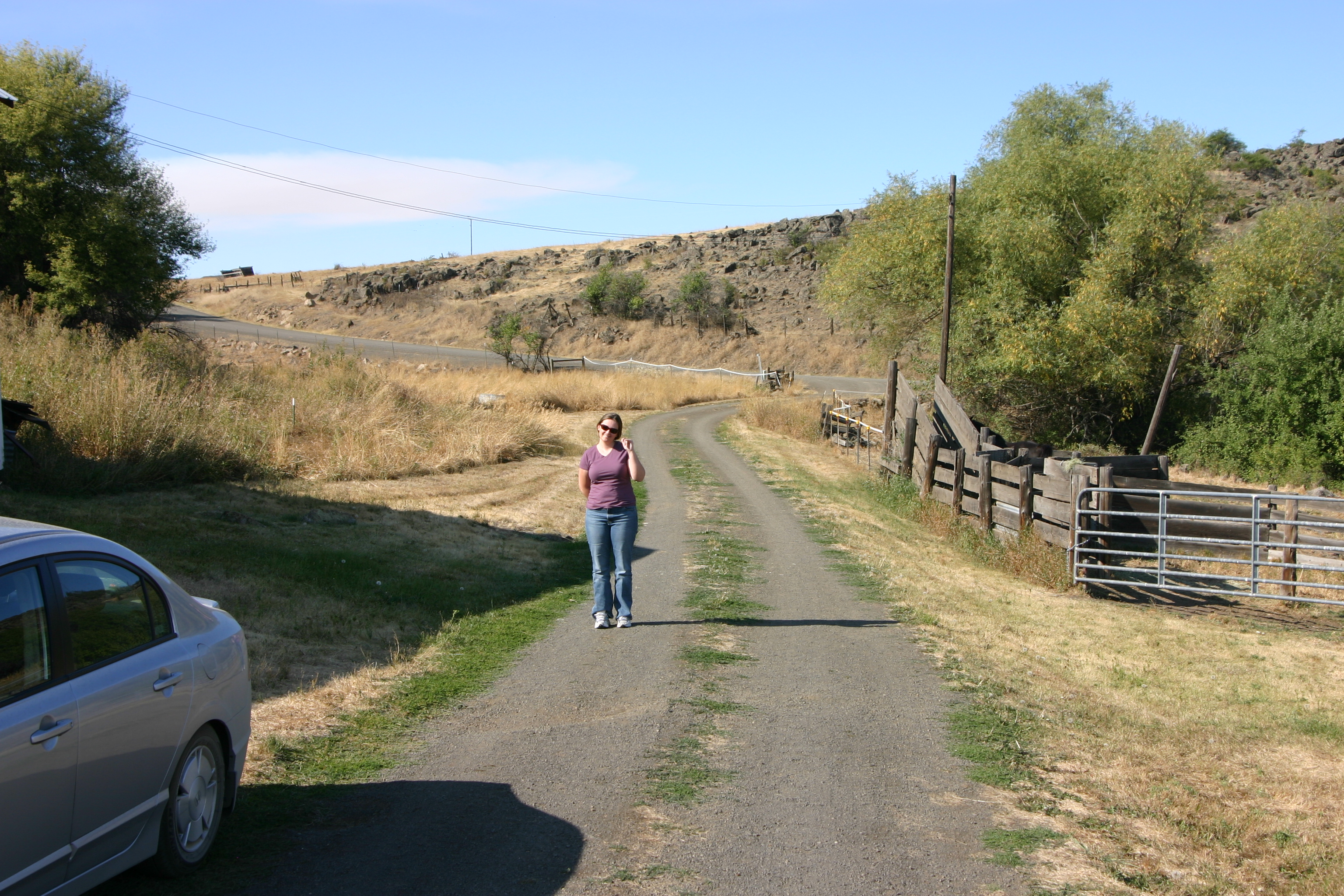
The Ranch 4
Everyday for 7 Weeks–Day 4–Missoula to Coeur d'Alene
Kamiah ID Bountiful Grain & Craig Mountain railroad (#0153)
NT3.0039-GLA160628_41660
NT3.0039-GLA160628_41661
Topographic Map of ID-, Kamiah, ID, USA
Find elevation by address:

Places near ID-, Kamiah, ID, USA:
323 Winona Rd
1262 Thorn Springs Rd
Nezperce
Fourth Ave, Nezperce, ID, USA
131 Mule Deer
199 Rockview Dr
125 Riverview Ln
314 Locust Rd
1773 Gibler Rd
128 Pine Rd
Ridgewood Drive
1018 Idaho St
Kamiah
108 3rd St
437 Woodland Rd
338 Woodland Rd
486 Woodland Rd
Junction St, Cottonwood, ID, USA
Cottonwood
Kooskia
Recent Searches:
- Elevation of Spaceport America, Co Rd A, Truth or Consequences, NM, USA
- Elevation of Warwick, RI, USA
- Elevation of Fern Rd, Whitmore, CA, USA
- Elevation of 62 Abbey St, Marshfield, MA, USA
- Elevation of Fernwood, Bradenton, FL, USA
- Elevation of Felindre, Swansea SA5 7LU, UK
- Elevation of Leyte Industrial Development Estate, Isabel, Leyte, Philippines
- Elevation of W Granada St, Tampa, FL, USA
- Elevation of Pykes Down, Ivybridge PL21 0BY, UK
- Elevation of Jalan Senandin, Lutong, Miri, Sarawak, Malaysia