Elevation of Main Rd, Colrain, MA, USA
Location: United States > Massachusetts > Franklin County > Colrain >
Longitude: -72.719375
Latitude: 42.645937
Elevation: 157m / 515feet
Barometric Pressure: 99KPa
Elevation Map:
Satellite Map:
Related Photos:
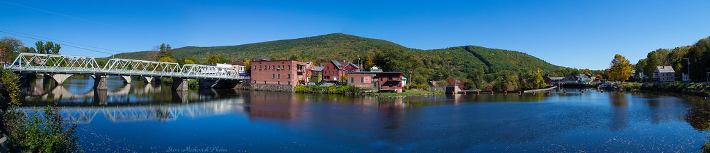
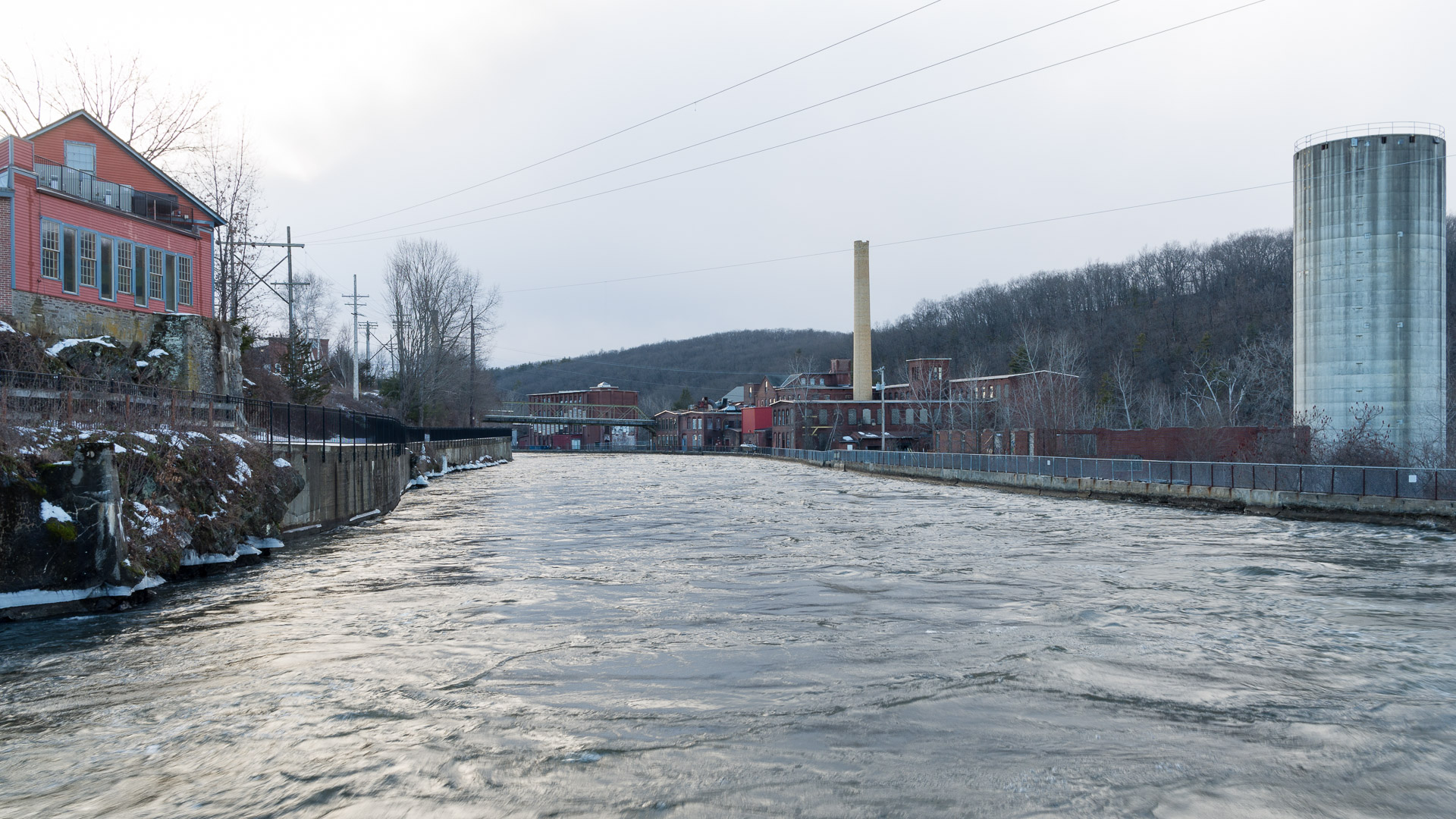
Shelburne Falls 0411-0417 Panorama

summer weekend

White Dahlia
Bridge of Flowers
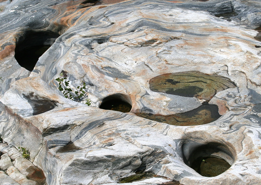
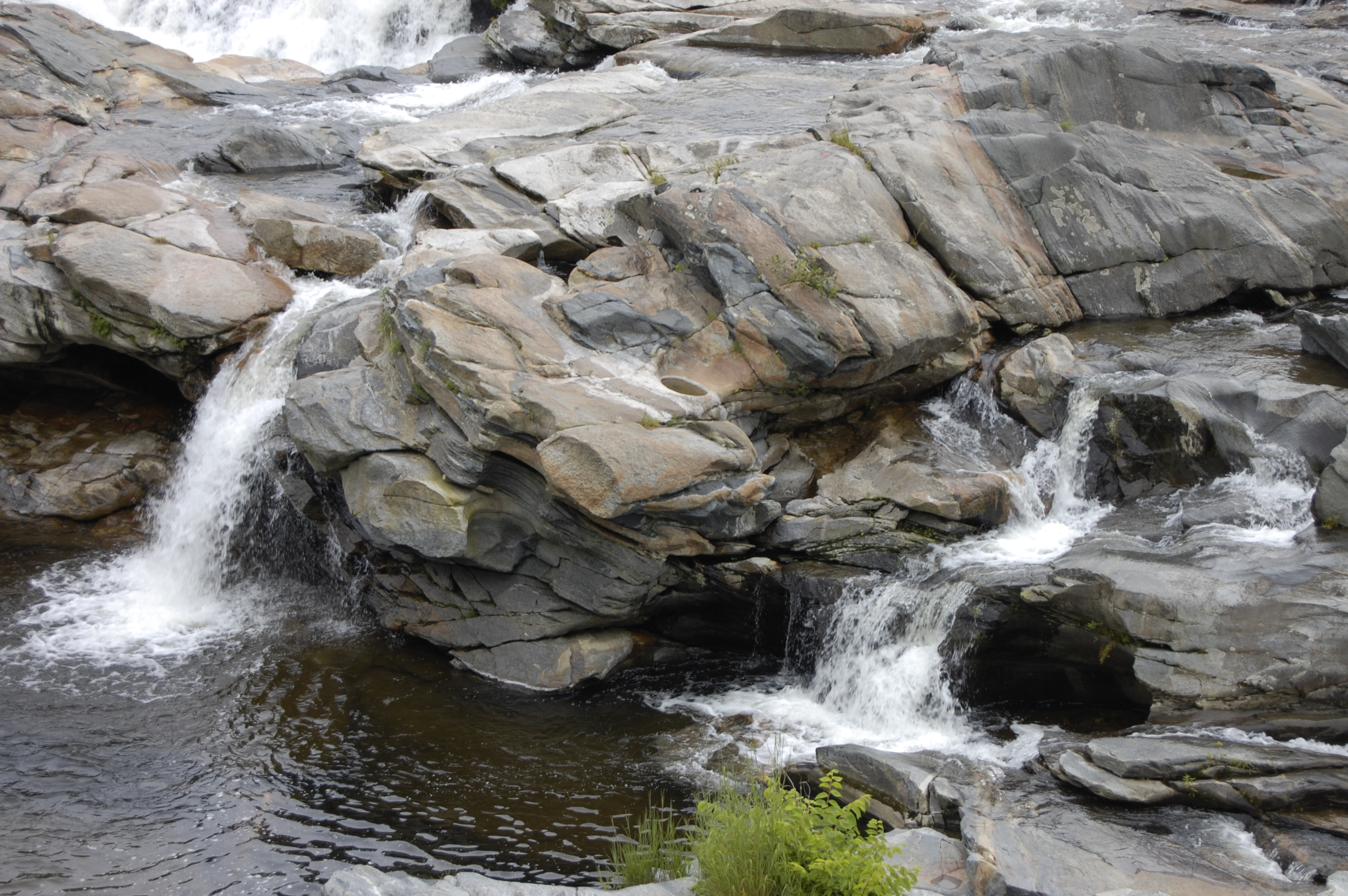
Glacial Potholes

Old Man of the Falls

Feb-19-2011_Magic-Wings_513
view off bridge
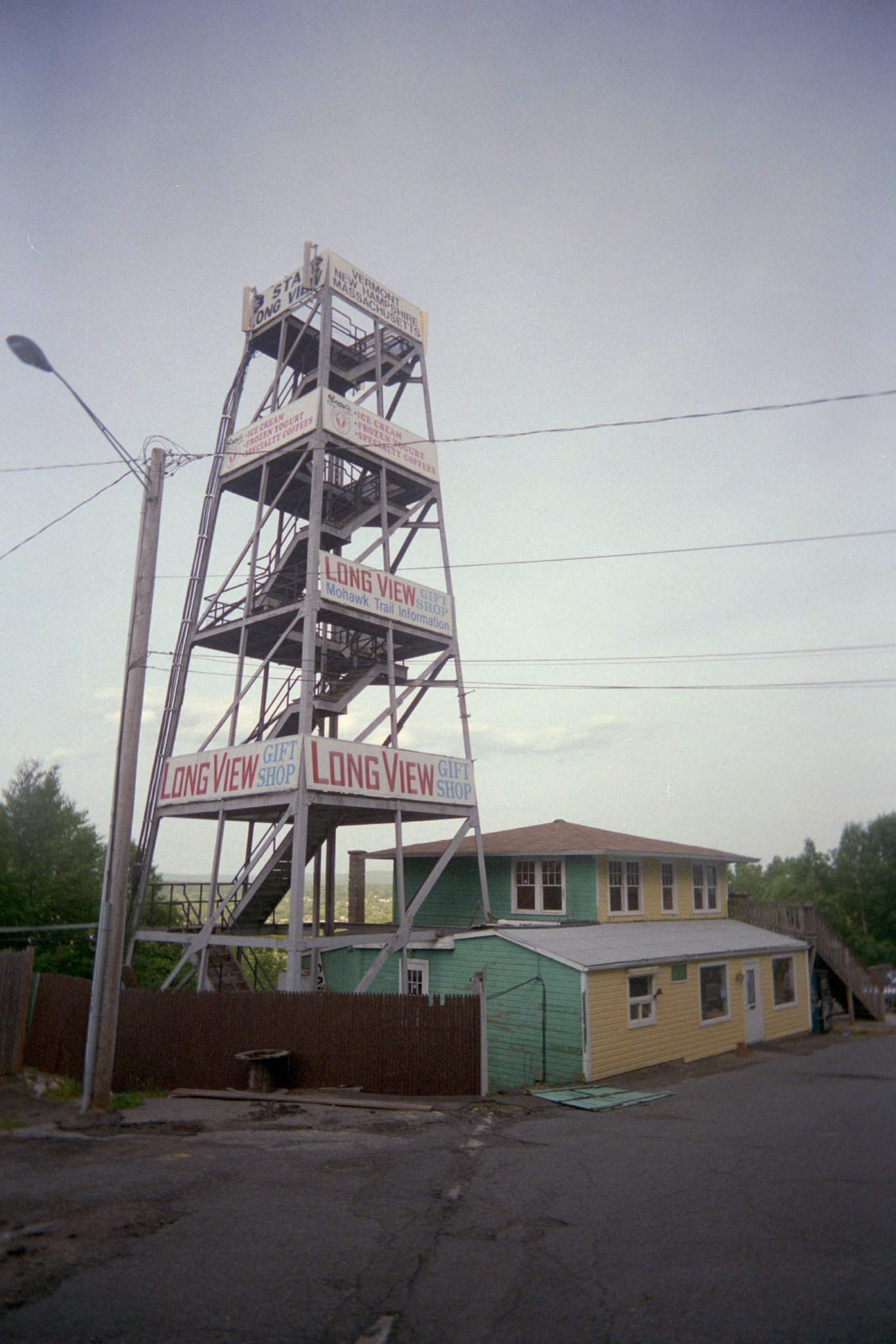
Long View Tower
Last view of Cabot Station from the living room

Sunshine in the Rain
the end...

snowy start

fast friends

View through Bridge to East Portal to Hurricane Damaged Eunice Williams Covered Bridge

Feb-19-2011_Magic-Wings_524

Gorgeous Dahlia

1979 09-28 1655 B&M GP38-2-203 switching at East Deerfield, MA

Morning on the canal view 3

Feb-19-2011_Magic-Wings_but
Blue after the rain
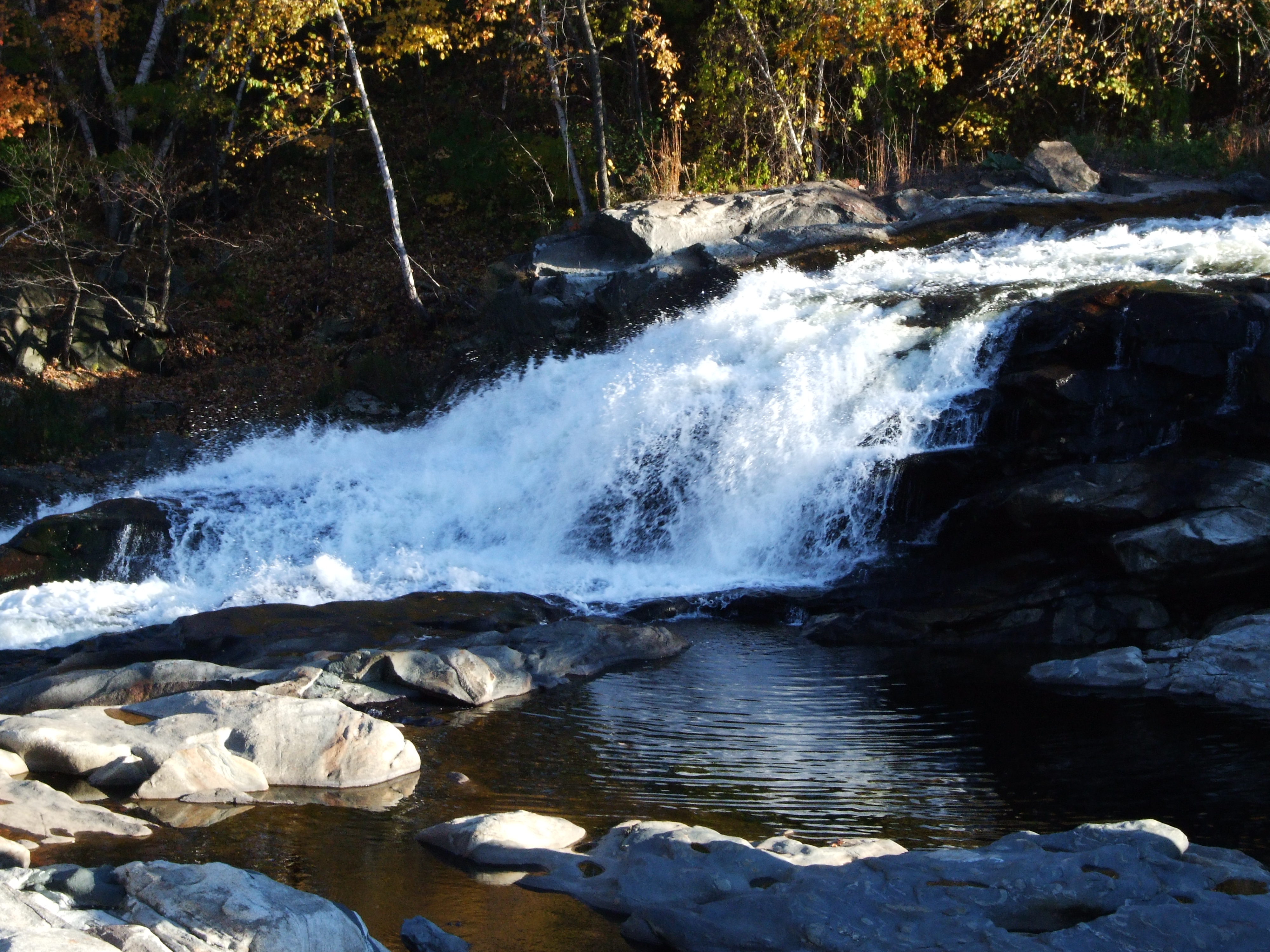
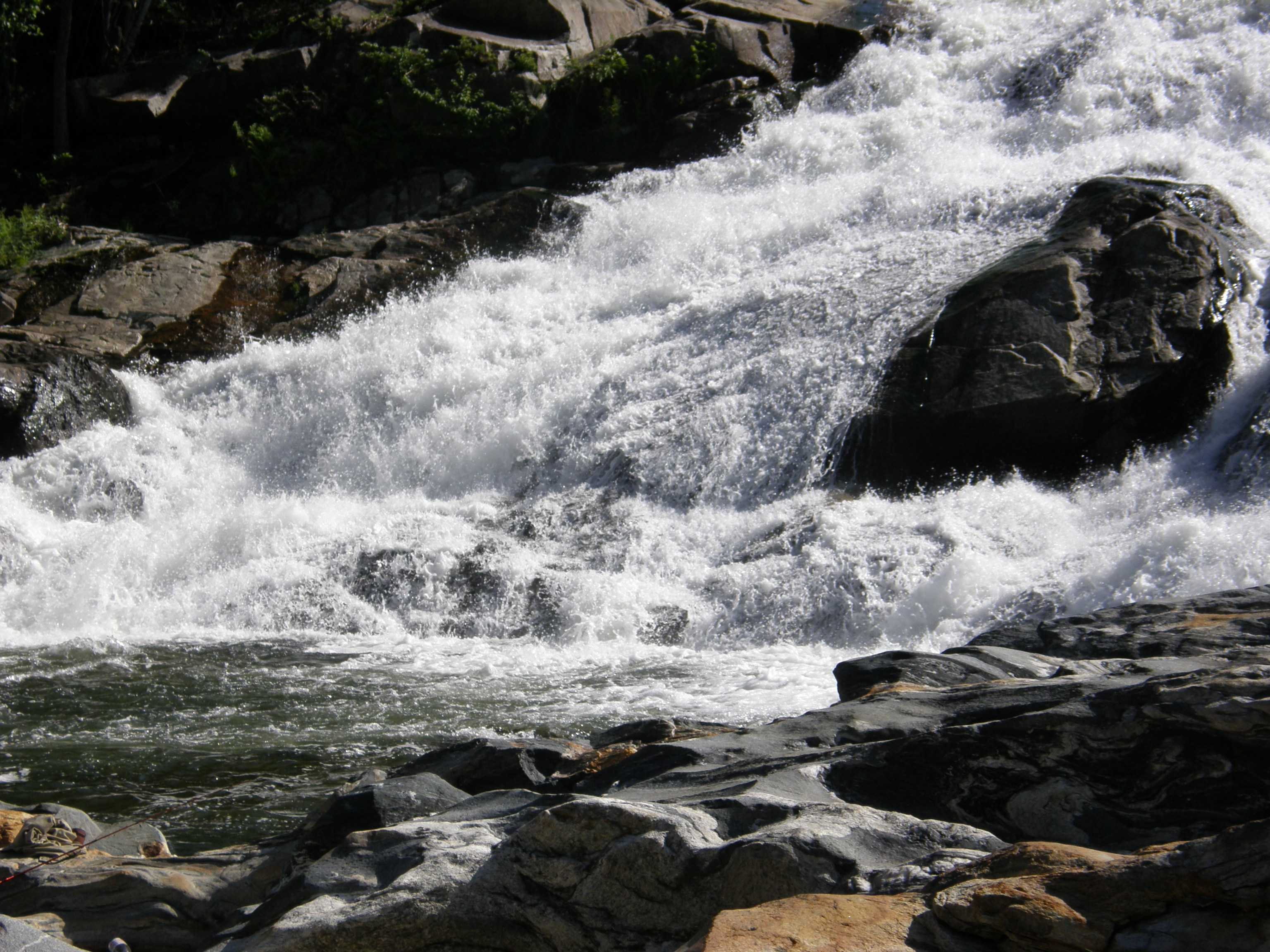
Rock Dam
northern berkshire winterscape
Holes in a hole #nature #Geology #touristy

Western MA - 2015-11-14 at 17-50-17-Pano.jpg

Western MA - 2015-11-14 at 17-49-09.jpg
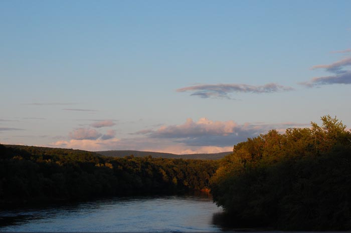
October on The Deerfield

Railroad Bridge

Salmon Falls at Shelburne Falls Ma

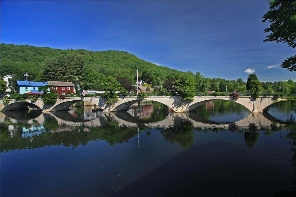
Bridge of Flowers Shelburne Falls Ma
Hydro Canal

Panoramic from Mt. Tom

_DSC9821.jpg

Half on One Side
A Fall Day in Massachusetts

One Day!

Glacier Potholes
Rocks at Halifax
_DSC9914.JPG
p100-5280697

South Green River Rd - Leydon, MA
Topographic Map of Main Rd, Colrain, MA, USA
Find elevation by address:

Places near Main Rd, Colrain, MA, USA:
MA-, Colrain, MA, USA
5 High St, Colrain, MA, USA
Main Rd, Colrain, MA, USA
50 Prolovich Rd
Prolovich Road
5 Greenfield Rd
Colrain
510 Little Mohawk Rd
Greenfield Rd, Colrain, MA, USA
32 W Leyden Rd
Shelburne Falls
10 Bridge St, Shelburne Falls, MA, USA
44 Ashfield Rd
30 School St
1 Phillips Dr, Colrain, MA, USA
Cromack Lane
28 Cromack Ln
108 W Leyden Rd
64 Shelburne Line Rd
White Road & Archambo Road
Recent Searches:
- Elevation of Congressional Dr, Stevensville, MD, USA
- Elevation of Bellview Rd, McLean, VA, USA
- Elevation of Stage Island Rd, Chatham, MA, USA
- Elevation of Shibuya Scramble Crossing, 21 Udagawacho, Shibuya City, Tokyo -, Japan
- Elevation of Jadagoniai, Kaunas District Municipality, Lithuania
- Elevation of Pagonija rock, Kranto 7-oji g. 8"N, Kaunas, Lithuania
- Elevation of Co Rd 87, Jamestown, CO, USA
- Elevation of Tenjo, Cundinamarca, Colombia
- Elevation of Côte-des-Neiges, Montreal, QC H4A 3J6, Canada
- Elevation of Bobcat Dr, Helena, MT, USA