Elevation of 44 Ashfield Rd, Shelburne Falls, MA, USA
Location: United States > Massachusetts > Franklin County > Shelburne Falls >
Longitude: -72.759135
Latitude: 42.613962
Elevation: 162m / 531feet
Barometric Pressure: 99KPa
Elevation Map:
Satellite Map:
Related Photos:
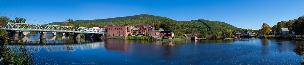
Shelburne Falls 0411-0417 Panorama

summer weekend

White Dahlia
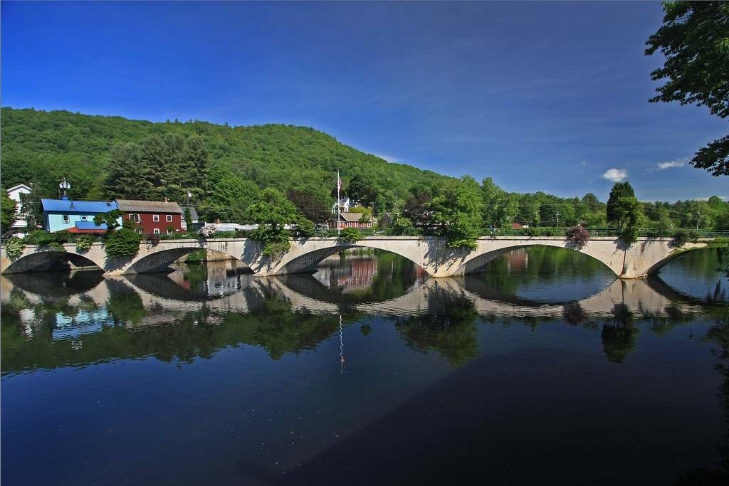
Bridge of Flowers

it's not about the destination, it's about the journey
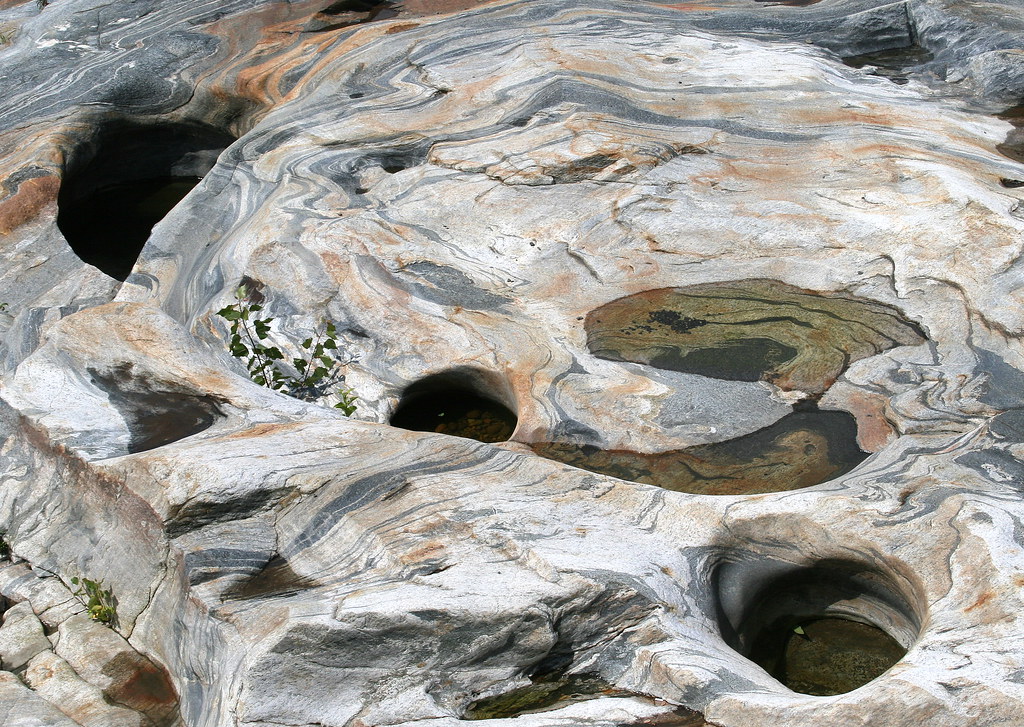
Glacial Potholes

Old Man of the Falls

Feb-19-2011_Magic-Wings_513
view off bridge
Long View Tower
Last view of Cabot Station from the living room

Not a bad view to wake up to! #roadtripping #camping #scenicMassachusetts

Sunshine in the Rain
Pony Mountain, Ashfield

View through Bridge to East Portal to Hurricane Damaged Eunice Williams Covered Bridge
the end...
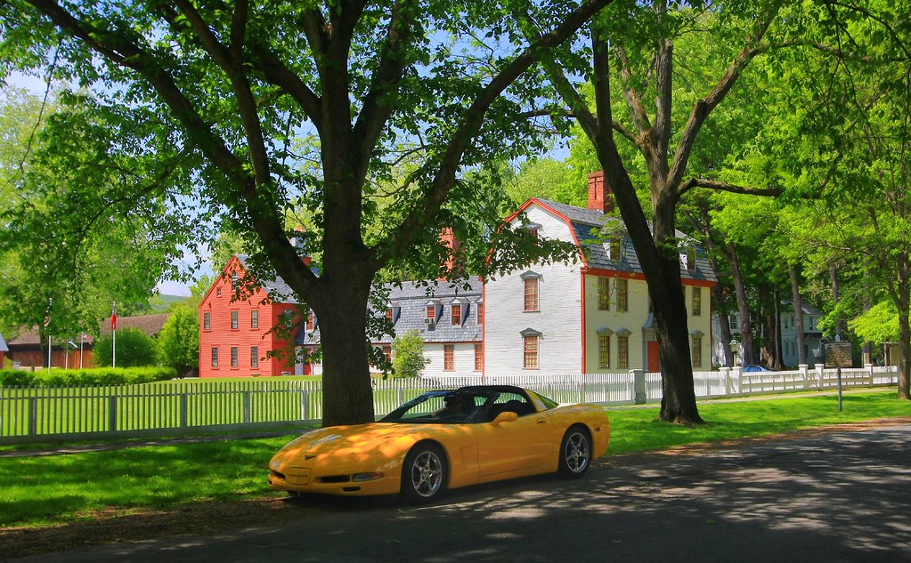
Cruising by History

snowy start

Morning on the canal view 3
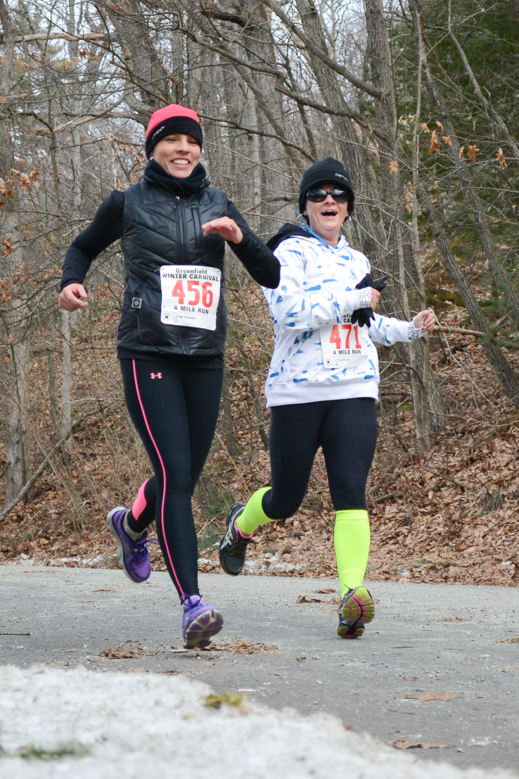
fast friends

Berkshire Highlands Pentathlon 2012
Buckland on Deerfield
Shelburne Falls
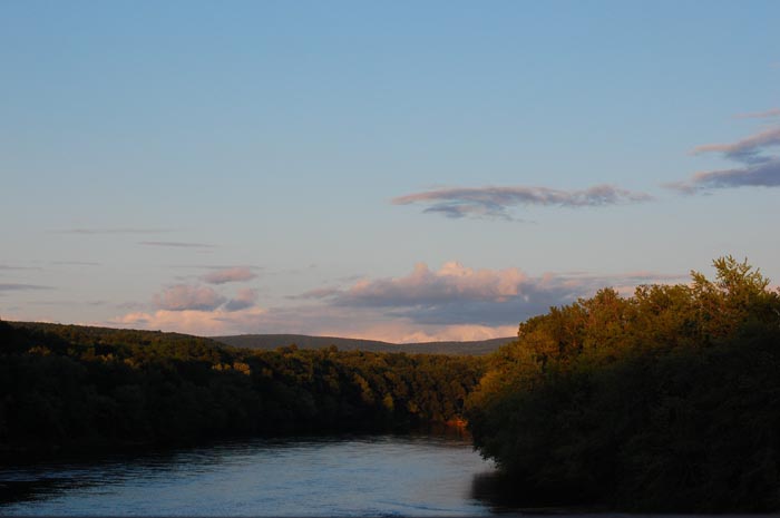
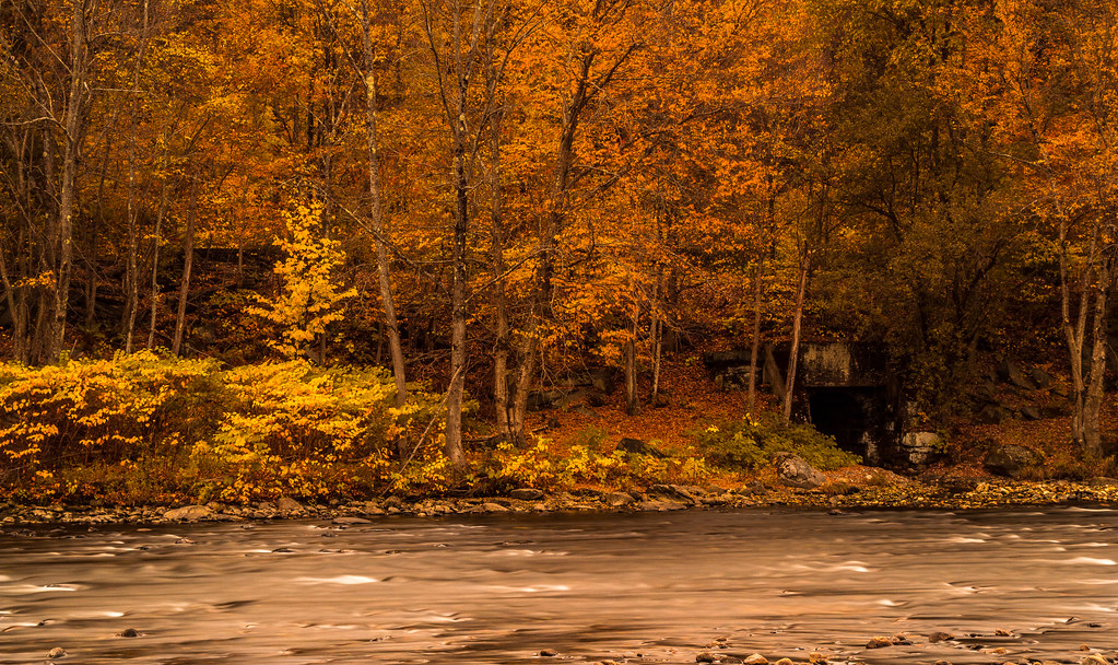
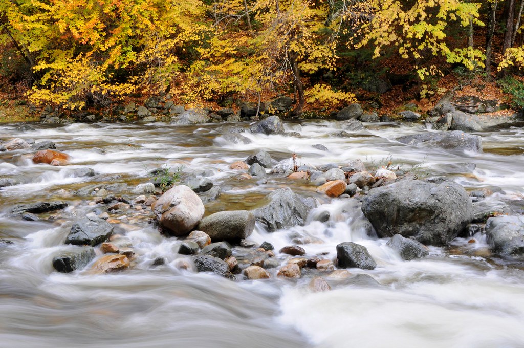
October on The Deerfield
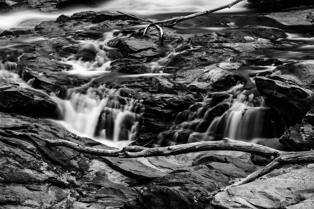
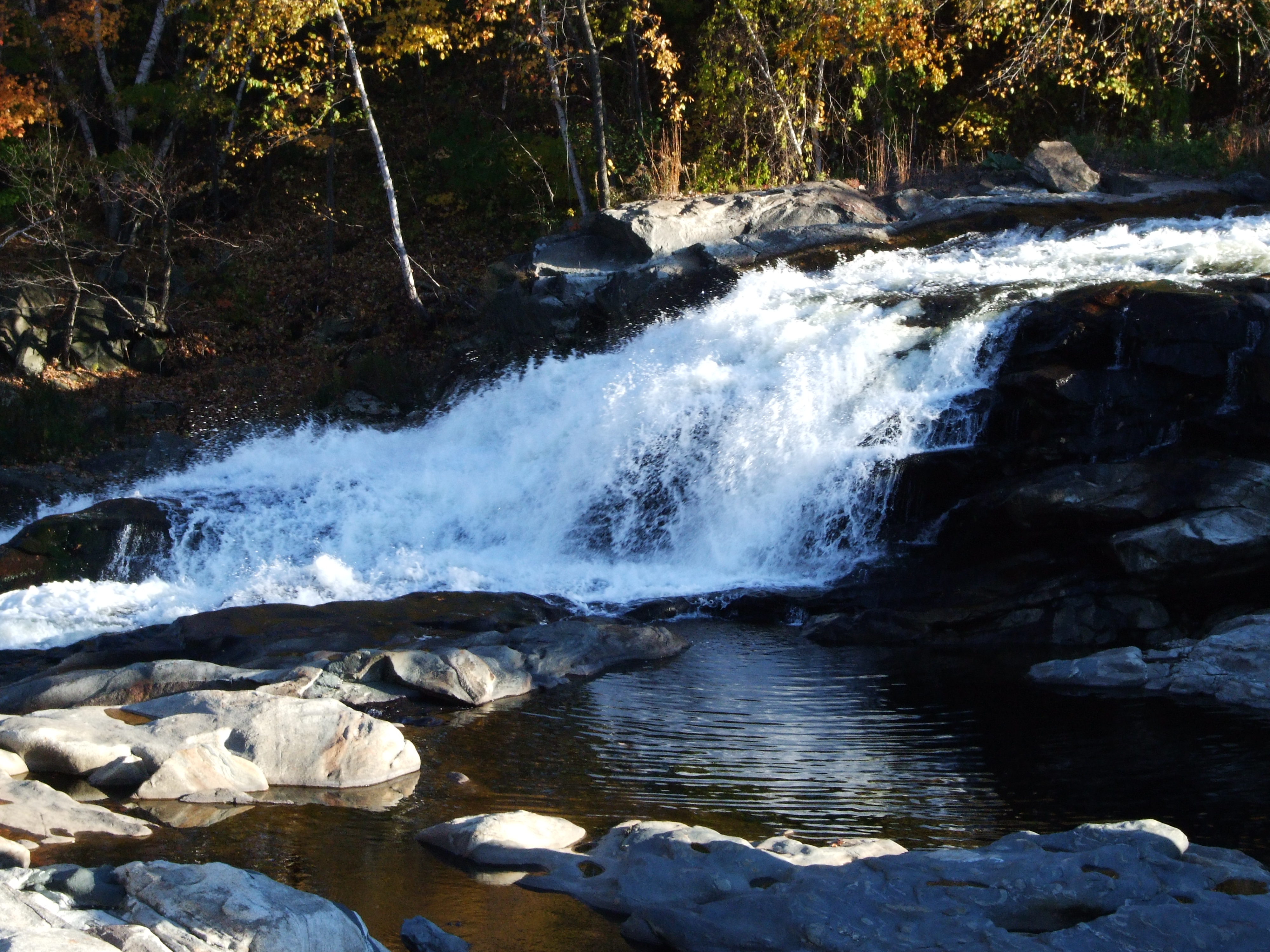
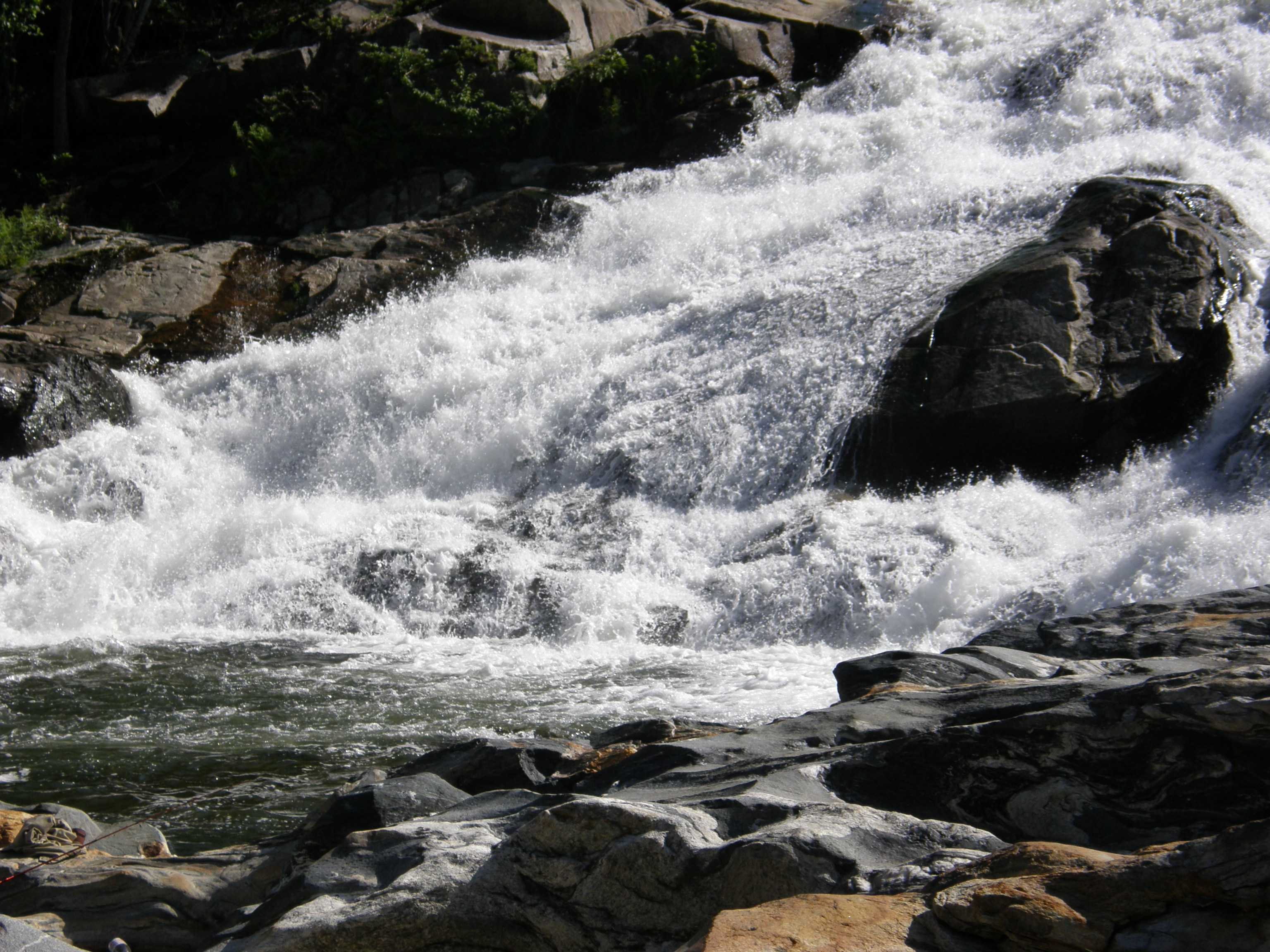
Rock Dam
#berkshires #newengland #nature-photography #nature #landscape #landscapephotography #landscape_captures #spring #landscape_lovers #beauty #fujifilm #fujifilm_xseries #massachusetts #spring #architecture #architecturephotography #architecturelovers #gree

Salmon Falls at Shelburne Falls Ma
northern berkshire winterscape

Bridge of Flowers Shelburne Falls Ma
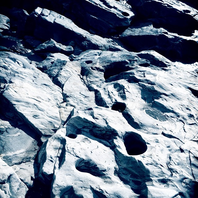
Holes in a hole #nature #Geology #touristy

Panoramic from Mt. Tom
Day 8 Mowhawk Trail

Half on One Side

_DSC9821.jpg
A Fall Day in Massachusetts

Glacier Potholes
One Day!

Rocks at Halifax
p100-5280697
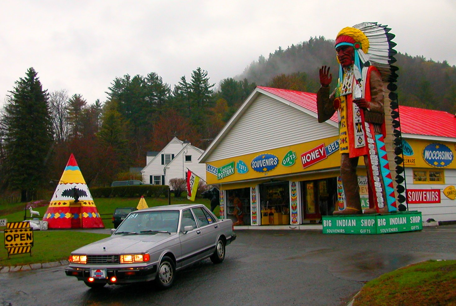
"Big Indian Shop" on the Mohawk Trail
Topographic Map of 44 Ashfield Rd, Shelburne Falls, MA, USA
Find elevation by address:

Places near 44 Ashfield Rd, Shelburne Falls, MA, USA:
30 School St
10 Bridge St, Shelburne Falls, MA, USA
Shelburne Falls
21 Goodnow Rd
25 Stone Rd
25 Nilman Rd
MA-, Colrain, MA, USA
333 Main Rd
5 High St, Colrain, MA, USA
Jones Corner Rd, Conway, MA, USA
388 Hart Rd
388 Hart Rd
510 Little Mohawk Rd
Main Rd, Colrain, MA, USA
White Road & Archambo Road
55 Bardwells Ferry Rd
136 S Shirkshire Rd
Prolovich Road
50 Prolovich Rd
5 Greenfield Rd
Recent Searches:
- Elevation of Tenjo, Cundinamarca, Colombia
- Elevation of Côte-des-Neiges, Montreal, QC H4A 3J6, Canada
- Elevation of Bobcat Dr, Helena, MT, USA
- Elevation of Zu den Ihlowbergen, Althüttendorf, Germany
- Elevation of Badaber, Peshawar, Khyber Pakhtunkhwa, Pakistan
- Elevation of SE Heron Loop, Lincoln City, OR, USA
- Elevation of Slanický ostrov, 01 Námestovo, Slovakia
- Elevation of Spaceport America, Co Rd A, Truth or Consequences, NM, USA
- Elevation of Warwick, RI, USA
- Elevation of Fern Rd, Whitmore, CA, USA