Elevation of 28 Cromack Ln, Colrain, MA, USA
Location: United States > Massachusetts > Franklin County > Colrain >
Longitude: -72.67684
Latitude: 42.67805
Elevation: 267m / 876feet
Barometric Pressure: 98KPa
Elevation Map:
Satellite Map:
Related Photos:

1979 09-28 1655 B&M GP38-2-203 switching at East Deerfield, MA

Native Views store

Old Man of the Falls

White Dahlia

Native Views Trading Post on the Mohawk Trail in Shelburne Falls, Massachusetts

Shelburne Falls 0411-0417 Panorama

1979 09-28 1645 B&M S4-1271 switching at East Deerfield, MA

Shelburne Falls / Vista
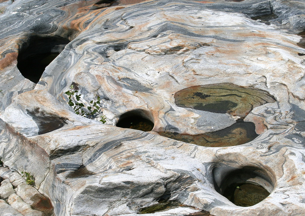
Glacial Potholes

Abandoned Mill - 2

summer weekend

Long View Tower

Sunshine in the Rain

View from East Side to Hurricane Damaged Eunice Williams Covered Bridge

fast friends

winning hand

View from East Side to Hurricane Damaged Eunice Williams Covered Bridge

View from East Side to Hurricane Damaged Eunice Williams Covered Bridge
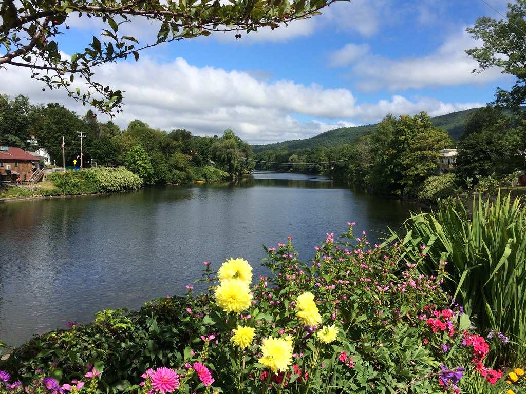
Bridge of Flowers

powerline survey

View Upriver from West Side to Hurricane Damaged Eunice Williams Covered Bridge

Buckland on Deerfield

The Bridge of Flowers in peak season

The Bridge of Flowers

Constant II. 1/4 second @f/22 #waterfall #waterflow #vermontshots #70d #10to18mm review is now available. @jicebee you are right, better with rock cropped.

16R at East Deerfield

A visit to Shelburne Falls, Mass ...

Building Art

Hydro Canal

Rocks at Halifax

#adventureahead #newchapter #vtshots #dirtroads #spring #vermontshots my last day at @marlborocollege

Bardswell's Ferry Bridge 2

Bardswell's Ferry Bridge 3

View Upriver from East Side to Hurricane Damaged Eunice Williams Covered Bridge

Hill, fencepost and clouds (5180) 1

Hibiscus, Rose of Sharon, Dahlia and other floral delights on

Rock Dam
Topographic Map of 28 Cromack Ln, Colrain, MA, USA
Find elevation by address:

Places near 28 Cromack Ln, Colrain, MA, USA:
Cromack Lane
108 W Leyden Rd
1 Phillips Dr, Colrain, MA, USA
32 W Leyden Rd
64 Shelburne Line Rd
Avery Hill Road
5 Greenfield Rd
Colrain
32 W Leyden Rd
Greenfield Rd, Colrain, MA, USA
521 W Leyden Rd
50 Prolovich Rd
160 George Lamb Rd
Prolovich Road
268 Jacksonville Rd
Main Rd, Colrain, MA, USA
5 High St, Colrain, MA, USA
160 N County Rd
Greenfield Road & West Leyden Road
Leyden
Recent Searches:
- Elevation of Shibuya Scramble Crossing, 21 Udagawacho, Shibuya City, Tokyo -, Japan
- Elevation of Jadagoniai, Kaunas District Municipality, Lithuania
- Elevation of Pagonija rock, Kranto 7-oji g. 8"N, Kaunas, Lithuania
- Elevation of Co Rd 87, Jamestown, CO, USA
- Elevation of Tenjo, Cundinamarca, Colombia
- Elevation of Côte-des-Neiges, Montreal, QC H4A 3J6, Canada
- Elevation of Bobcat Dr, Helena, MT, USA
- Elevation of Zu den Ihlowbergen, Althüttendorf, Germany
- Elevation of Badaber, Peshawar, Khyber Pakhtunkhwa, Pakistan
- Elevation of SE Heron Loop, Lincoln City, OR, USA