Elevation of W Leyden Rd, Leyden, MA, USA
Location: United States > Massachusetts > Franklin County > Leyden >
Longitude: -72.660779
Latitude: 42.7017359
Elevation: 212m / 696feet
Barometric Pressure: 99KPa
Elevation Map:
Satellite Map:
Related Photos:

Native Views store

Bridge of Flowers

summer weekend

White Dahlia

Bridge of Flowers

View from East Side to Hurricane Damaged Eunice Williams Covered Bridge

fast friends

View from East Side to Hurricane Damaged Eunice Williams Covered Bridge

View from East Side to Hurricane Damaged Eunice Williams Covered Bridge

View Upriver from West Side to Hurricane Damaged Eunice Williams Covered Bridge

View Upriver from West Side to Hurricane Damaged Eunice Williams Covered Bridge

View from East Side to Hurricane Damaged Eunice Williams Covered Bridge

View through Bridge to East Portal to Hurricane Damaged Eunice Williams Covered Bridge

View Upriver from East Side to Hurricane Damaged Eunice Williams Covered Bridge

More Waterfall

1979 09-28 1655 B&M GP38-2-203 switching at East Deerfield, MA

The Slug Set

Shelburne Falls 0411-0417 Panorama

The Slug Set at the West End

1979 09-28 1645 B&M S4-1271 switching at East Deerfield, MA

Amtrak 54 at Deerfield

Buckland on Deerfield

Abandoned Mill

Shelburne Falls / Vista

A visit to Shelburne Falls, Mass ...

Fall in New Hampshire

Rocks at Halifax

Abandoned Mill - 2

Old Man of the Falls

Hill, fencepost and clouds (5180) 1

Hibiscus, Rose of Sharon, Dahlia and other floral delights on

Rock Dam

The Wall

The Bridge of Flowers in peak season

Waterfall and side canal

Shelburne Falls

October on The Deerfield

The Bridge of Flowers
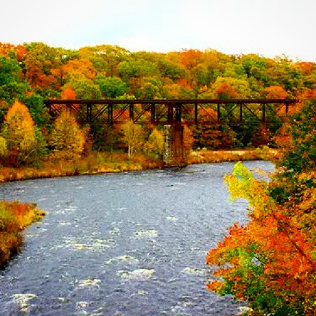
Railroad Bridge

Constant II. 1/4 second @f/22 #waterfall #waterflow #vermontshots #70d #10to18mm review is now available. @jicebee you are right, better with rock cropped.
Topographic Map of W Leyden Rd, Leyden, MA, USA
Find elevation by address:

Places near W Leyden Rd, Leyden, MA, USA:
32 W Leyden Rd
Avery Hill Road
160 George Lamb Rd
160 N County Rd
108 W Leyden Rd
28 Cromack Ln
Greenfield Road & West Leyden Road
Cromack Lane
Leyden
64 Shelburne Line Rd
1 Phillips Dr, Colrain, MA, USA
32 W Leyden Rd
268 Jacksonville Rd
Colrain
5 Greenfield Rd
53 S School House Rd
Greenfield Rd, Colrain, MA, USA
66 E Hill Rd
50 Prolovich Rd
Prolovich Road
Recent Searches:
- Elevation of Jadagoniai, Kaunas District Municipality, Lithuania
- Elevation of Pagonija rock, Kranto 7-oji g. 8"N, Kaunas, Lithuania
- Elevation of Co Rd 87, Jamestown, CO, USA
- Elevation of Tenjo, Cundinamarca, Colombia
- Elevation of Côte-des-Neiges, Montreal, QC H4A 3J6, Canada
- Elevation of Bobcat Dr, Helena, MT, USA
- Elevation of Zu den Ihlowbergen, Althüttendorf, Germany
- Elevation of Badaber, Peshawar, Khyber Pakhtunkhwa, Pakistan
- Elevation of SE Heron Loop, Lincoln City, OR, USA
- Elevation of Slanický ostrov, 01 Námestovo, Slovakia