Elevation of Llangothlin NSW, Australia
Location: Australia > New South Wales > Guyra Shire Council >
Longitude: 151.707141
Latitude: -30.071978
Elevation: 1374m / 4508feet
Barometric Pressure: 86KPa
Elevation Map:
Satellite Map:
Related Photos:

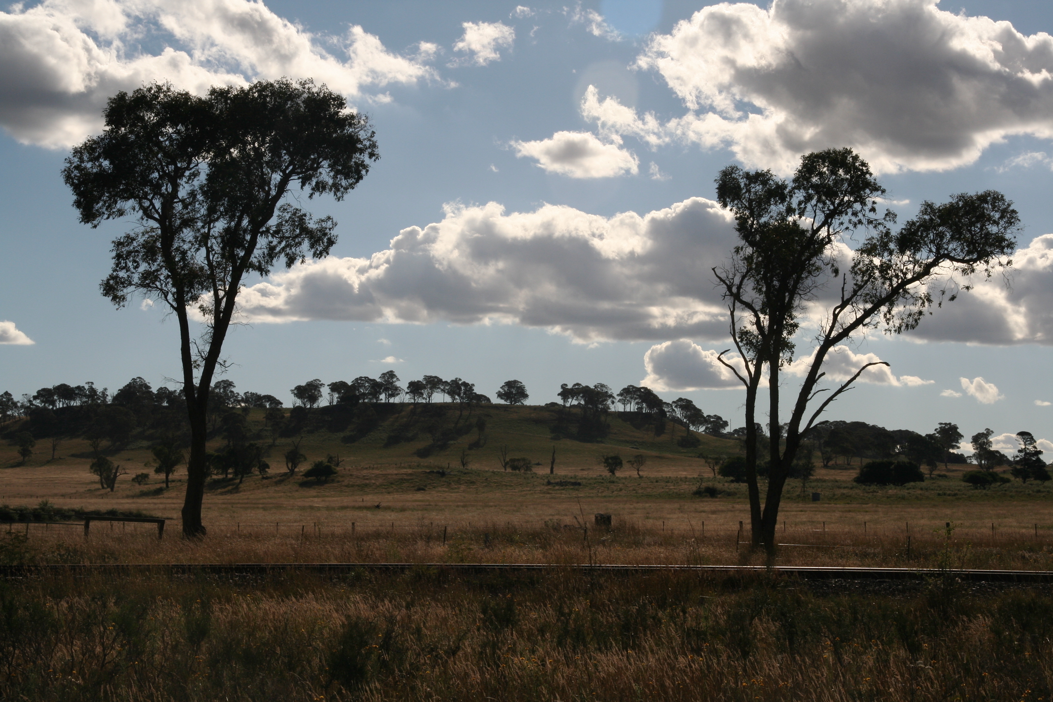
Trees a light

Last Light of 2014

CAST A SHADOW

Taking Flight

Blazing Stop

1P Farming at the origins of Mann 139
llangothlin-2011.jpg
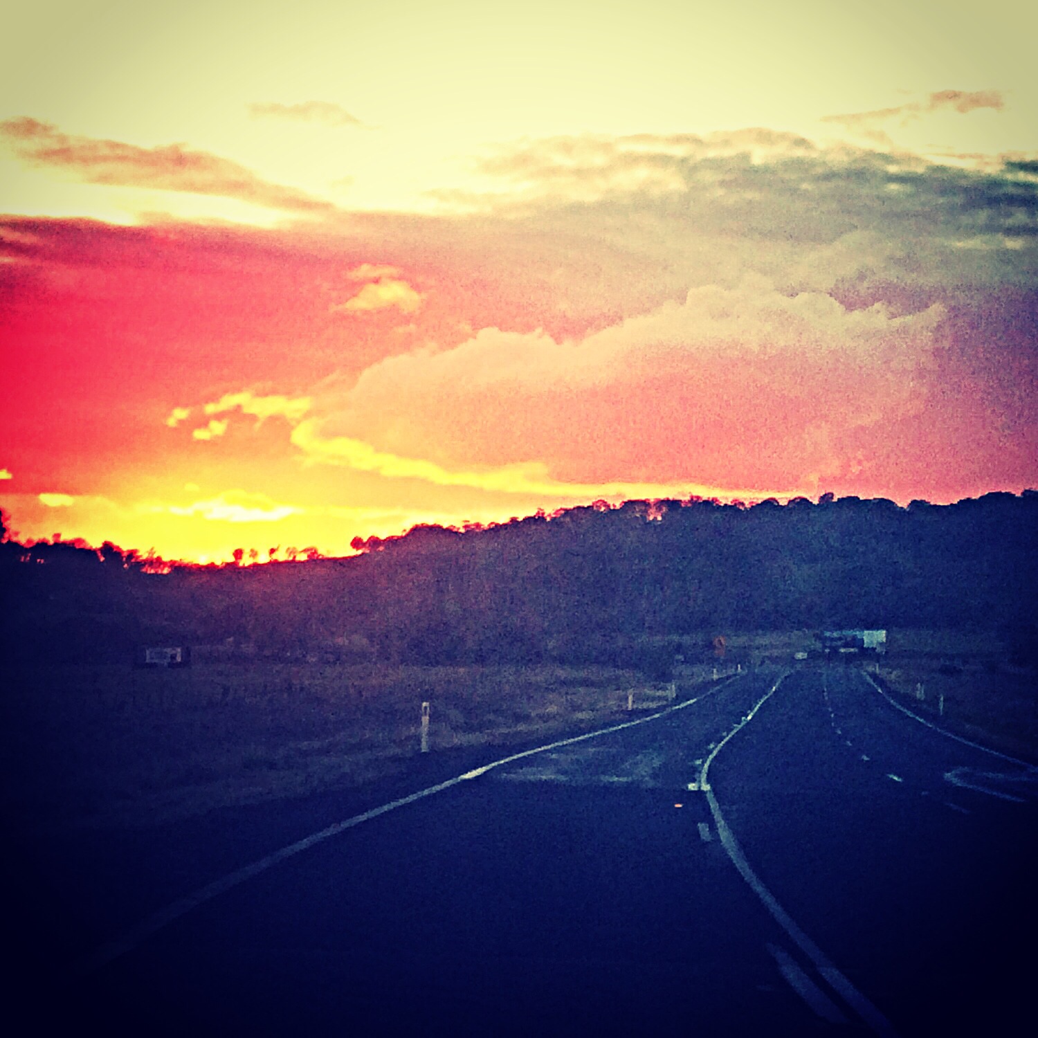
Country sunset North of Armidale.

llangothlin-2011b.jpg

llangothlin-2011a.jpg
Topographic Map of Llangothlin NSW, Australia
Find elevation by address:

Places near Llangothlin NSW, Australia:
168 Ben Lomond Rd
197 Ben Lomond Rd
Ben Lomond
17 Glencoe St
Guyra
Guyra
133 Malpas St
Glencoe
Green Hills
Chandlers Peak
Black Mountain
275 Toms Gully Rd
2 Ward Cres
872 Red Range Rd
Glen Innes
164 Wentworth St
46 Armidale Gully Rd
275 Meade St
49 Coronation Ave
164 Taylor St
Recent Searches:
- Elevation of Groblershoop, South Africa
- Elevation of Power Generation Enterprises | Industrial Diesel Generators, Oak Ave, Canyon Country, CA, USA
- Elevation of Chesaw Rd, Oroville, WA, USA
- Elevation of N, Mt Pleasant, UT, USA
- Elevation of 6 Rue Jules Ferry, Beausoleil, France
- Elevation of Sattva Horizon, 4JC6+G9P, Vinayak Nagar, Kattigenahalli, Bengaluru, Karnataka, India
- Elevation of Great Brook Sports, Gold Star Hwy, Groton, CT, USA
- Elevation of 10 Mountain Laurels Dr, Nashua, NH, USA
- Elevation of 16 Gilboa Ln, Nashua, NH, USA
- Elevation of Laurel Rd, Townsend, TN, USA