Elevation of Malpas St, Guyra NSW, Australia
Location: Australia > New South Wales > Guyra Shire Council > Guyra >
Longitude: 151.672411
Latitude: -30.223398
Elevation: 1326m / 4350feet
Barometric Pressure: 86KPa
Elevation Map:
Satellite Map:
Related Photos:
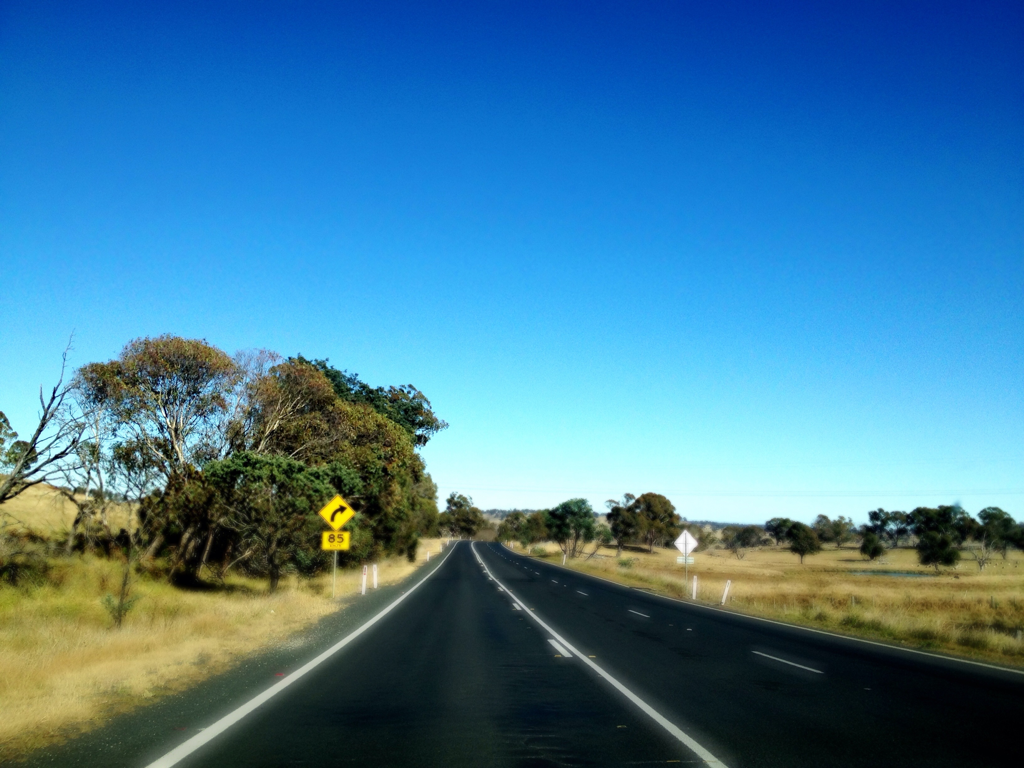
New England Highway on the road to Ebor
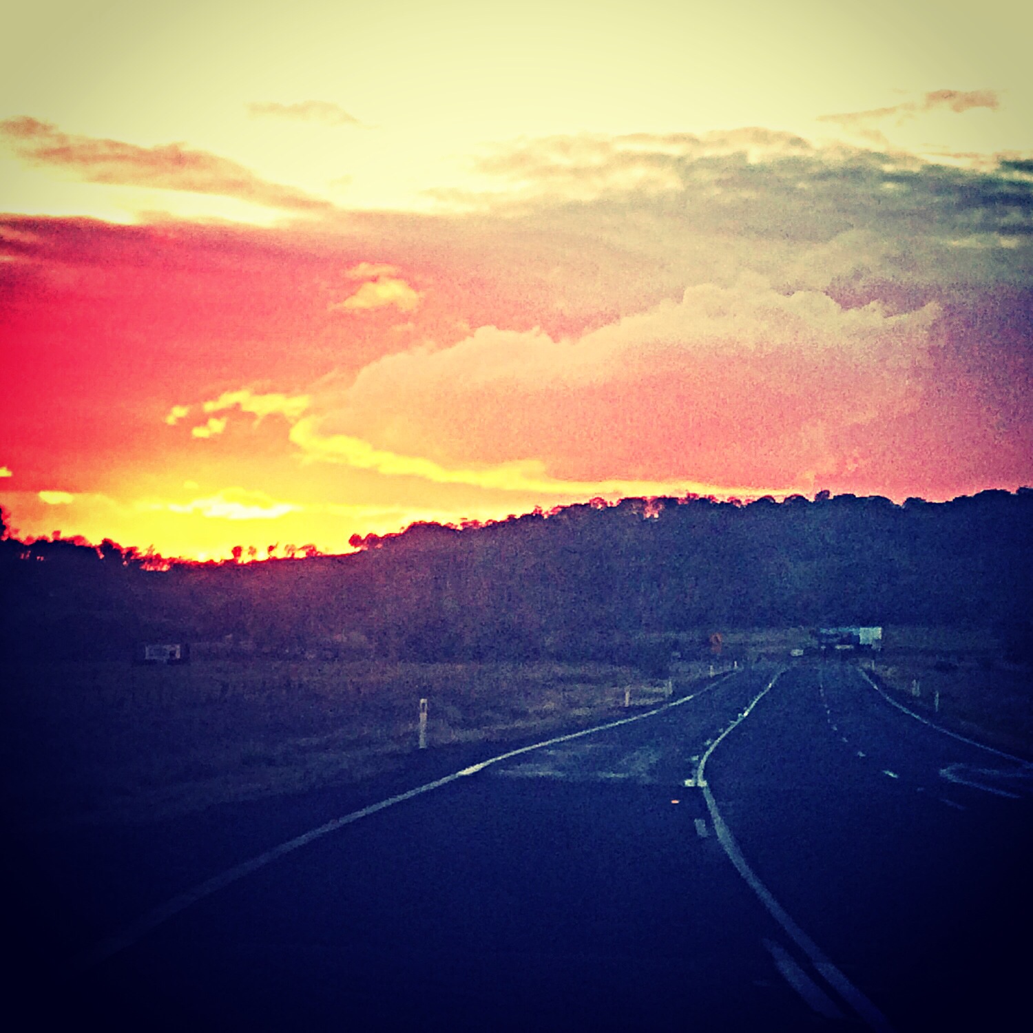
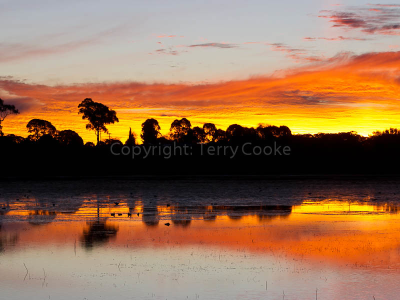
Country sunset North of Armidale.
llangothlin-2011a.jpg
llangothlin-2011.jpg
Last Light of 2014
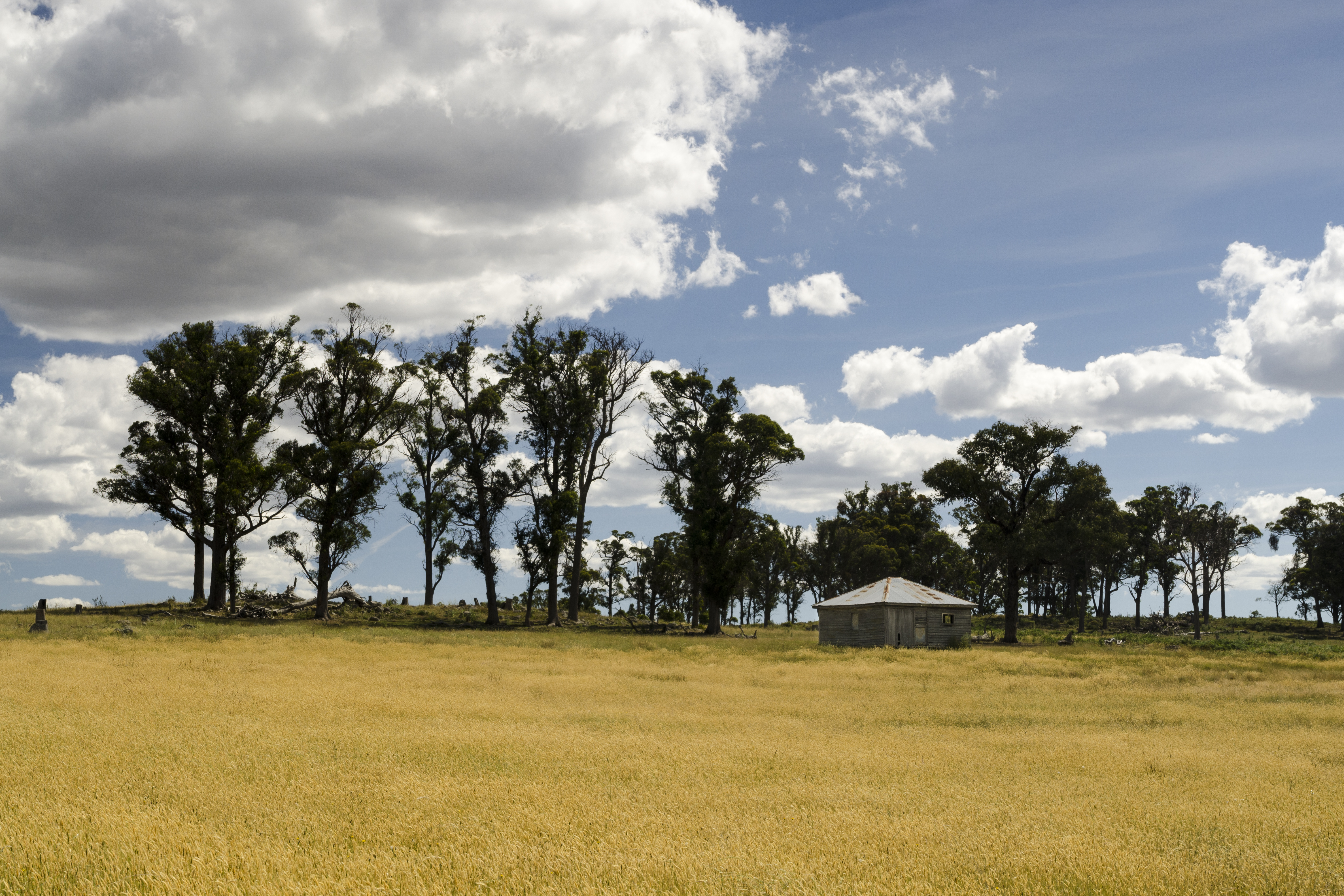
Fields of Gold
120808_0734MotherOfDucksGuyraLx.jpg
Old Armidale Road

Old Armidale Road
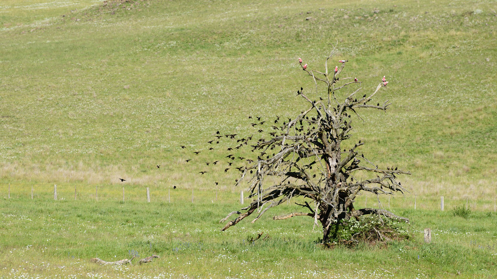
Taking Flight

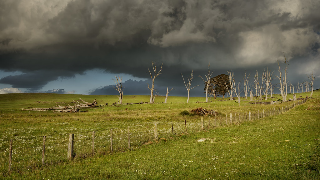
CAST A SHADOW
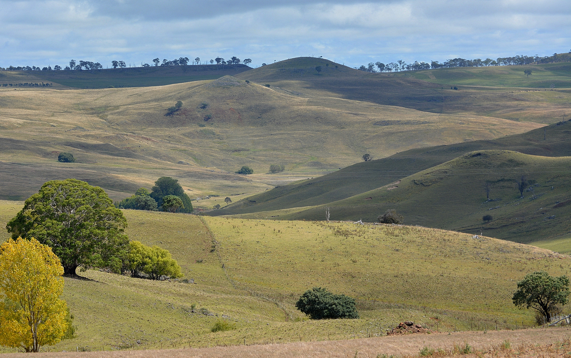
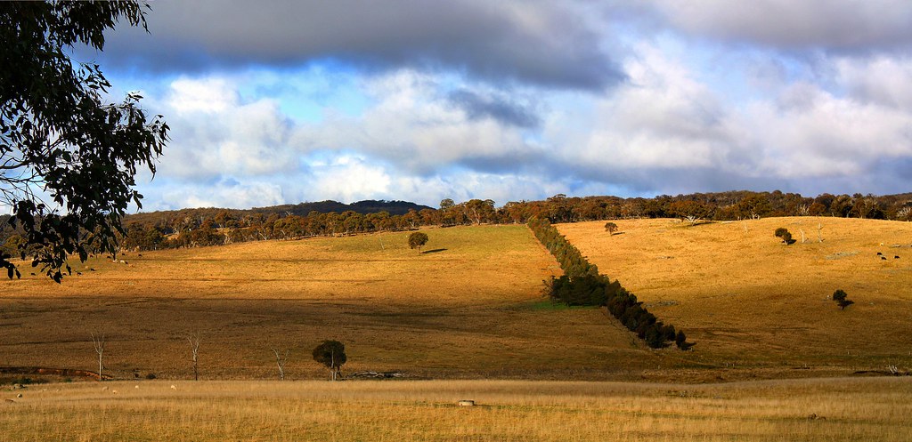
Gara Valley
Topographic Map of Malpas St, Guyra NSW, Australia
Find elevation by address:

Places near Malpas St, Guyra NSW, Australia:
Guyra
Guyra
Black Mountain
275 Toms Gully Rd
Green Hills
197 Ben Lomond Rd
168 Ben Lomond Rd
Chandlers Peak
Llangothlin
Ben Lomond
Dumaresq
46 Armidale Gully Rd
5 Highlands Rd
209 Clarks Rd
Armidale Forest Road
Armidale
466 Middle Farm Rd
2 Reginald Ave
43 Garibaldi St
17 Glencoe St
Recent Searches:
- Elevation of Gateway Blvd SE, Canton, OH, USA
- Elevation of East W.T. Harris Boulevard, E W.T. Harris Blvd, Charlotte, NC, USA
- Elevation of West Sugar Creek, Charlotte, NC, USA
- Elevation of Wayland, NY, USA
- Elevation of Steadfast Ct, Daphne, AL, USA
- Elevation of Lagasgasan, X+CQH, Tiaong, Quezon, Philippines
- Elevation of Rojo Ct, Atascadero, CA, USA
- Elevation of Flagstaff Drive, Flagstaff Dr, North Carolina, USA
- Elevation of Avery Ln, Lakeland, FL, USA
- Elevation of Woolwine, VA, USA