Elevation map of Guyra Shire Council, Guyra, NSW, Australia
Location: Australia > New South Wales >
Longitude: 151.981391
Latitude: -30.154909
Elevation: 1153m / 3783feet
Barometric Pressure: 88KPa
Elevation Map:
Satellite Map:
Related Photos:
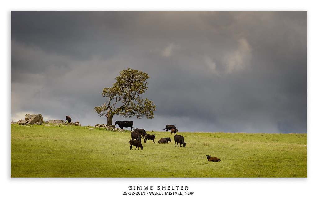
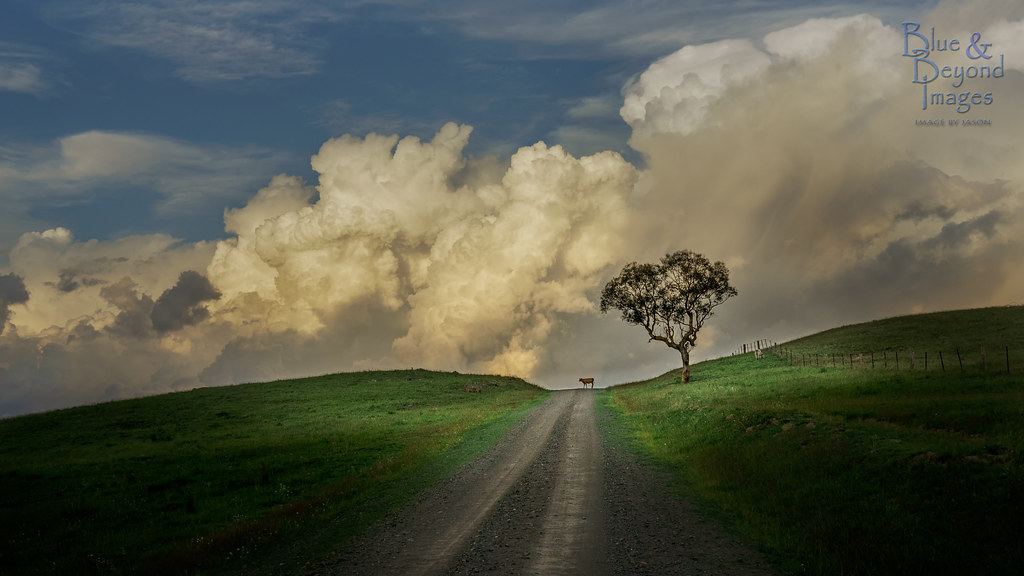
2014-12-29 Wards Mistake Cattle and Clouds_DSC7254_1600mx.jpg
What Lies Beyond
No Laughing Matter
Hanging Heavy

2015-01-02 Aberfoyle Night_DSC7388.jpg
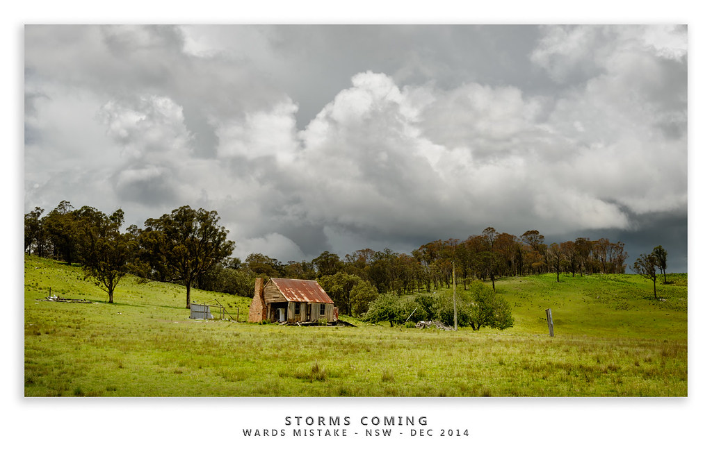
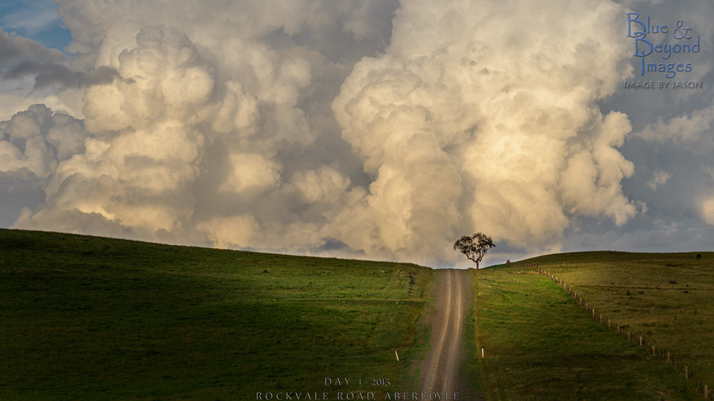
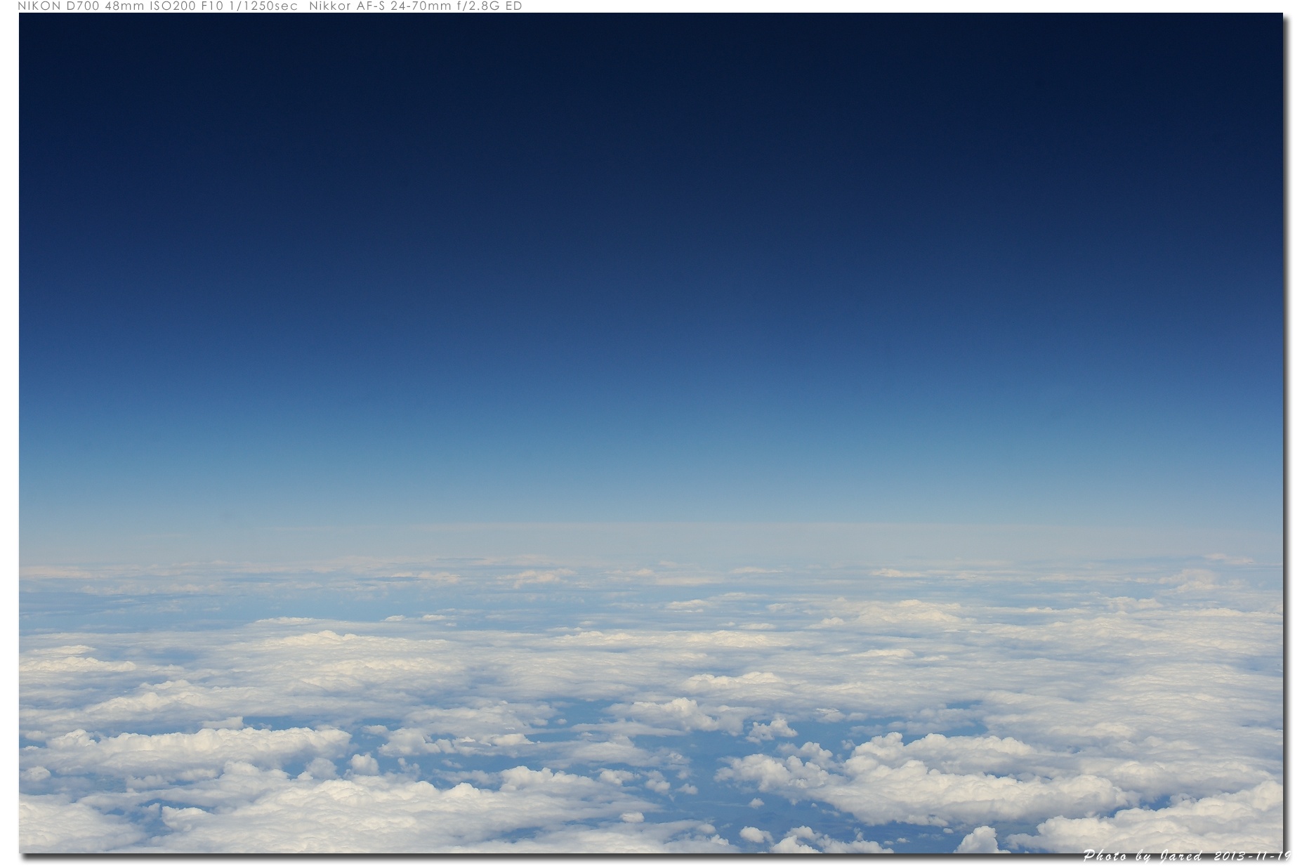
STORMS COMING
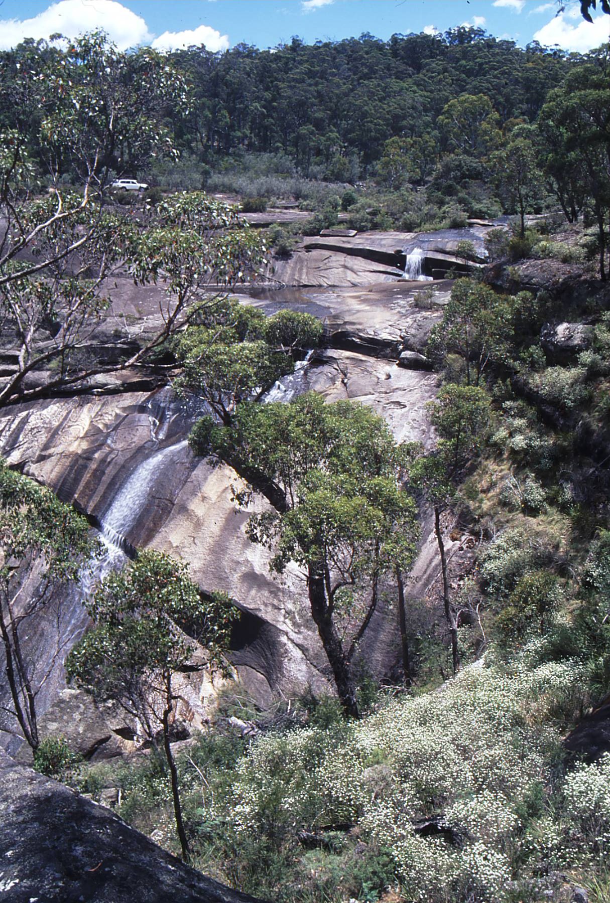
Sara River
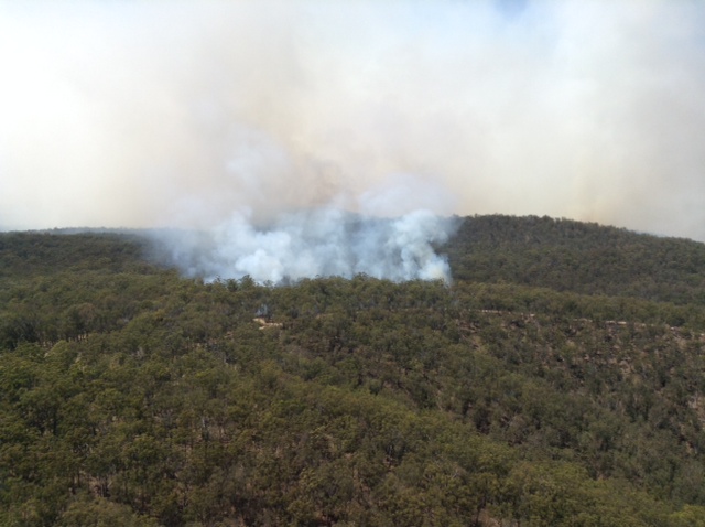
bushfire Round Waterhole, Guy Fawkes River NP_171114_0000
Riddle me this
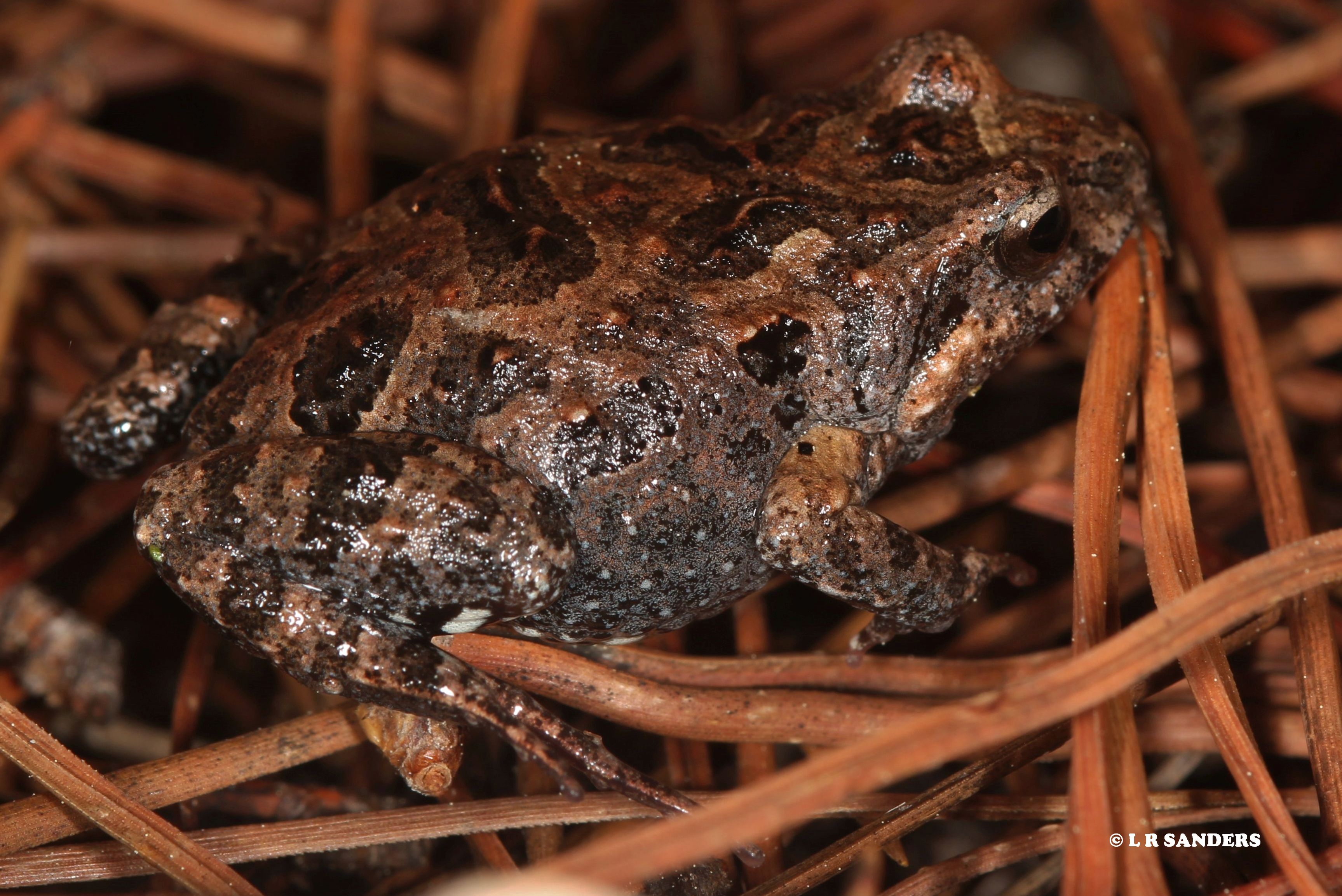
Unid frog
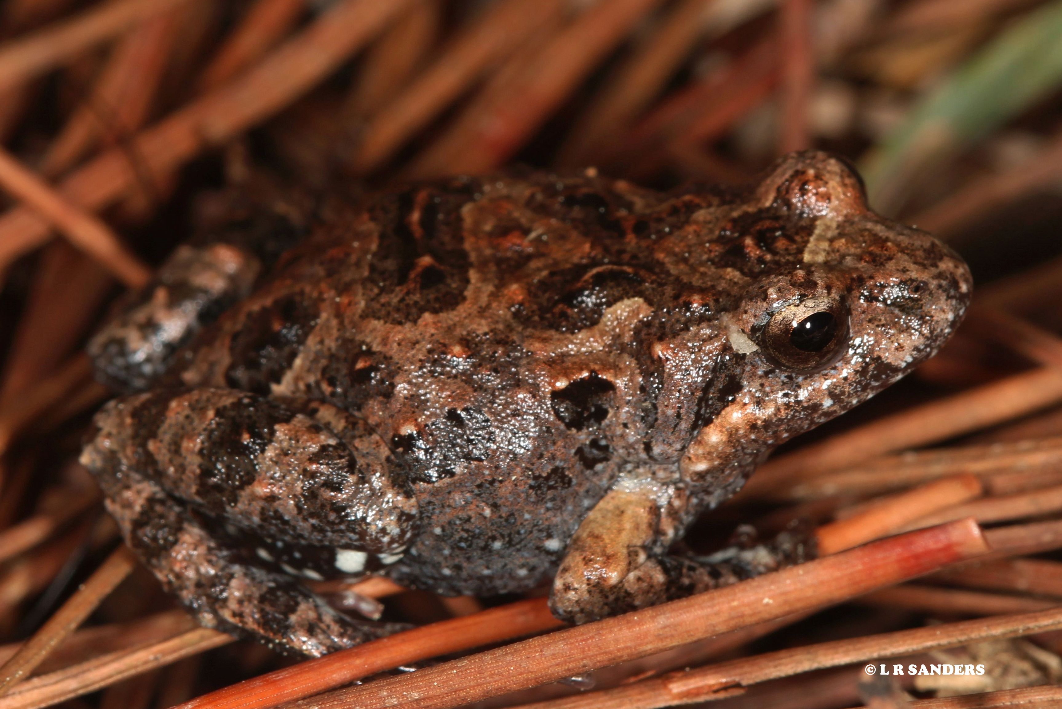
Unid frog
Unid bee from Guyra NSW
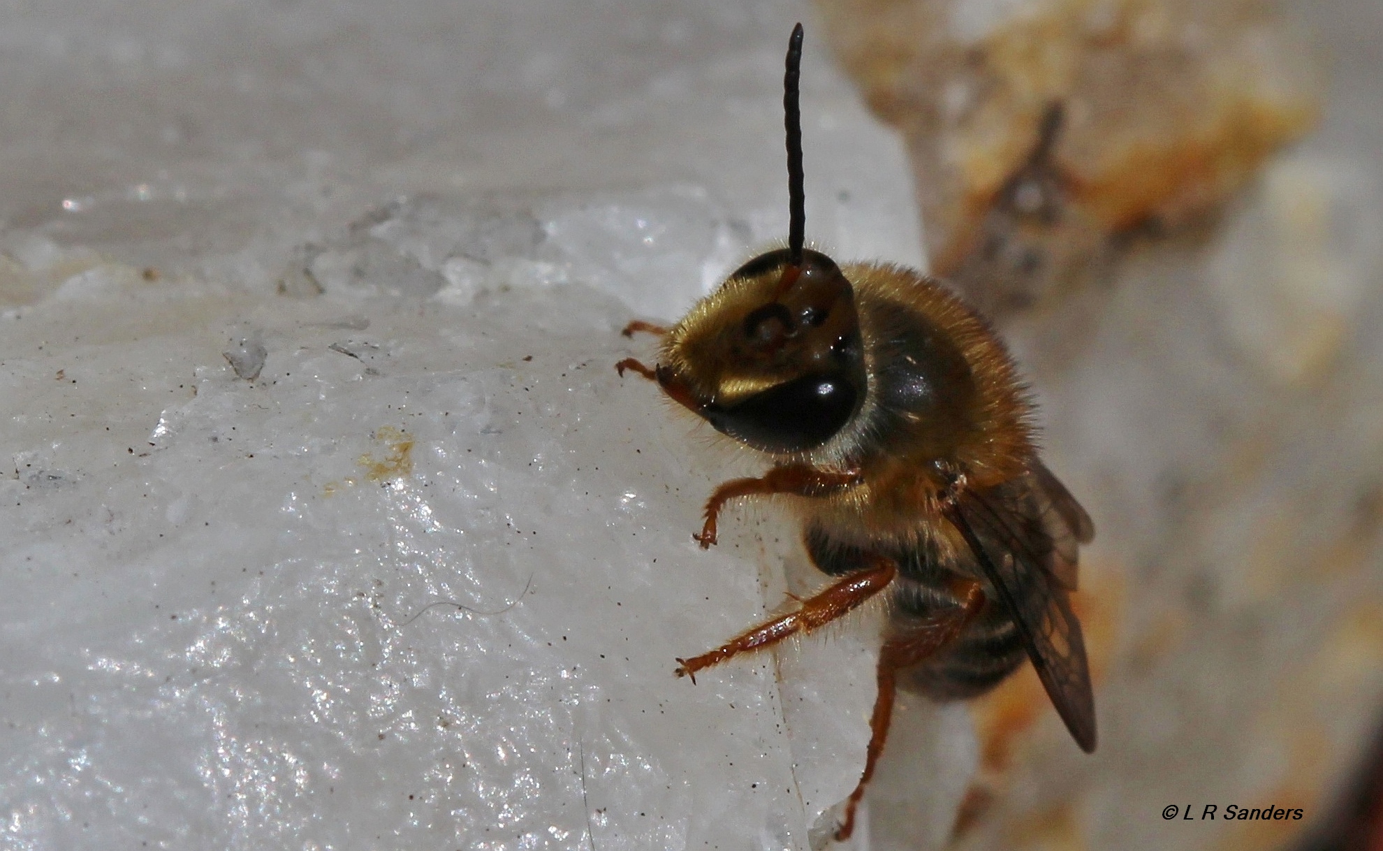
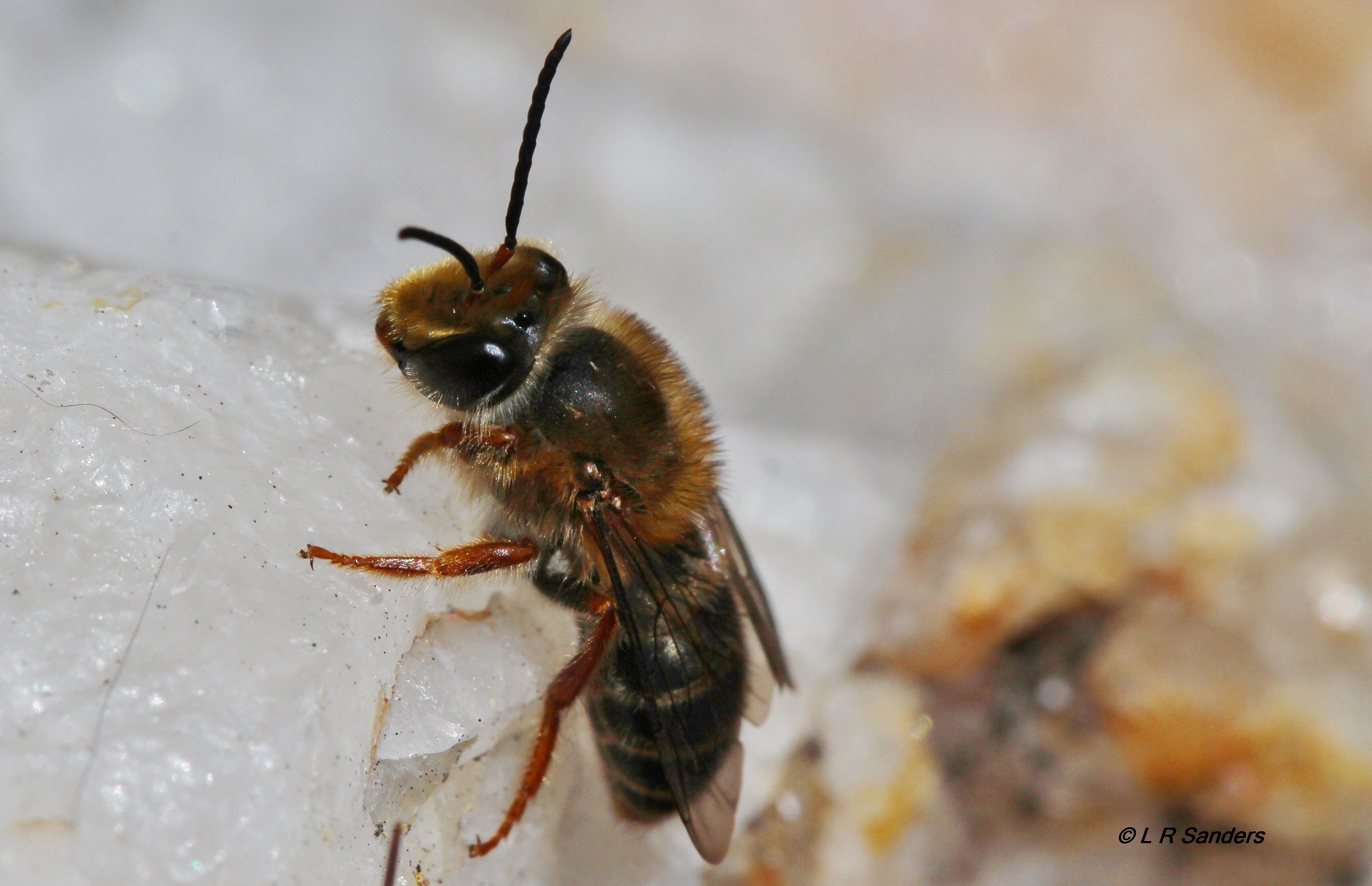
Trichocolletes venustus from Guyra NSW
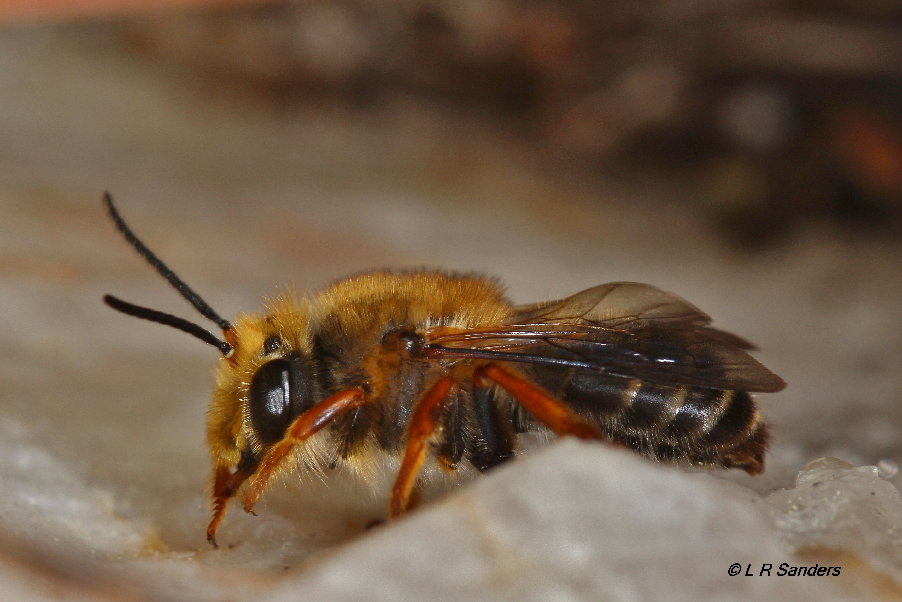
Trichocolletes venustus from Guyra NSW
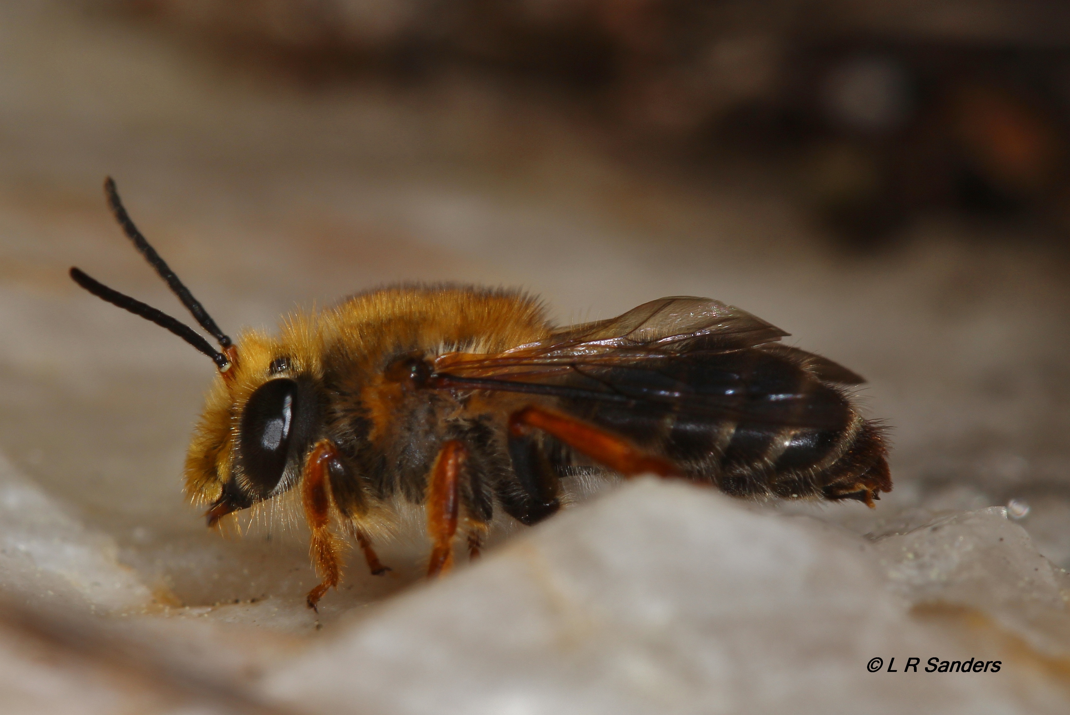
Trichocolletes venustus from Guyra NSW

Amy B
20131119_103124_澳大利亞
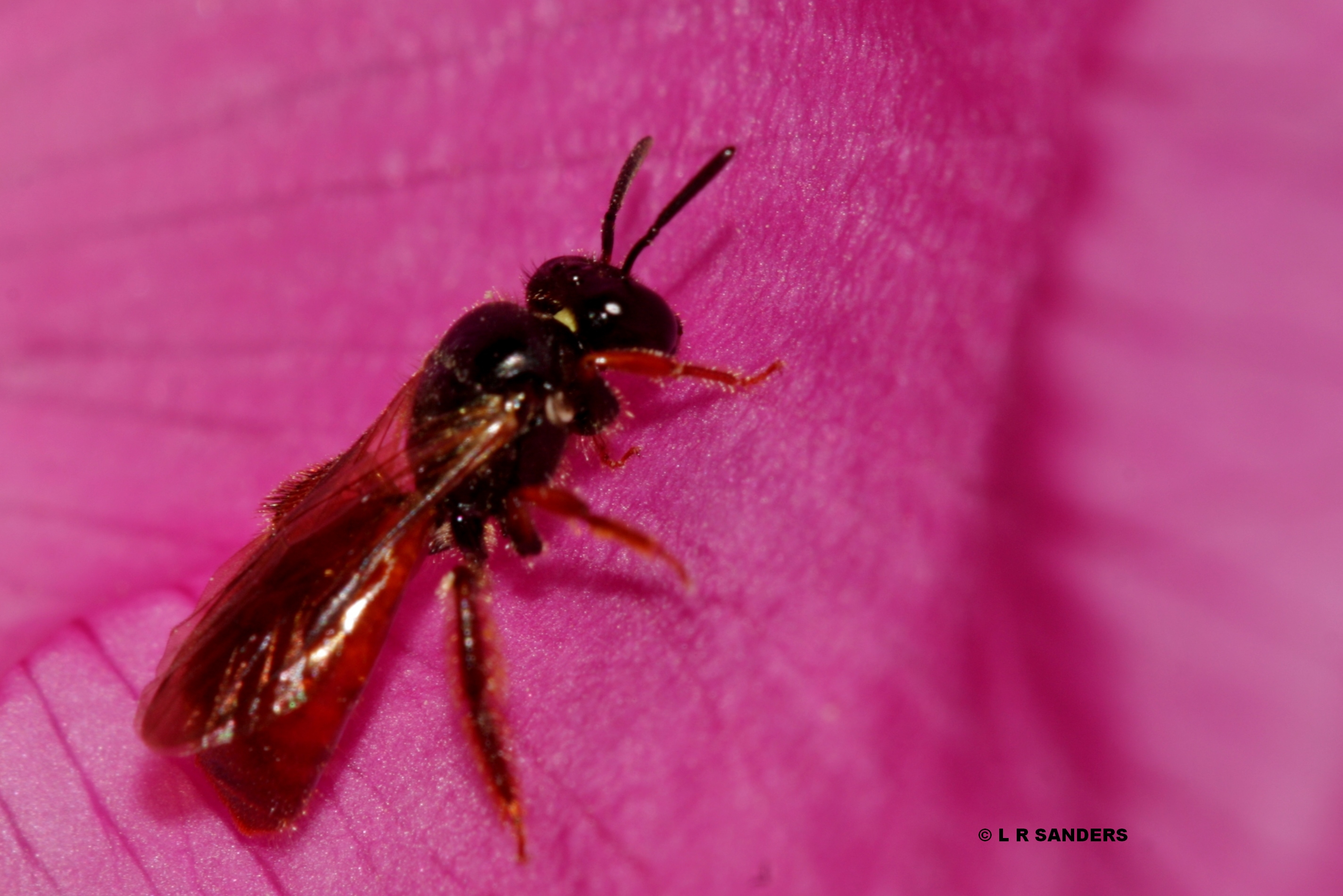
unid bee on Rosa rugosa
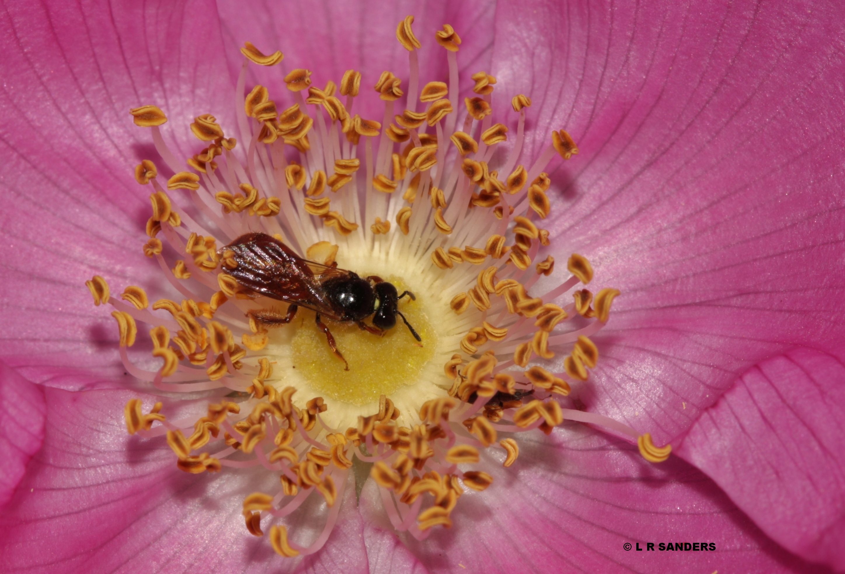
unid bee on Rosa rugosa
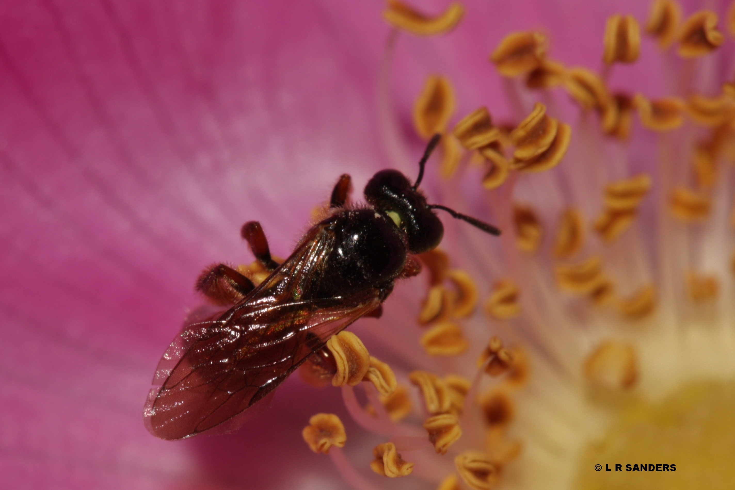
unid bee on Rosa rugosa
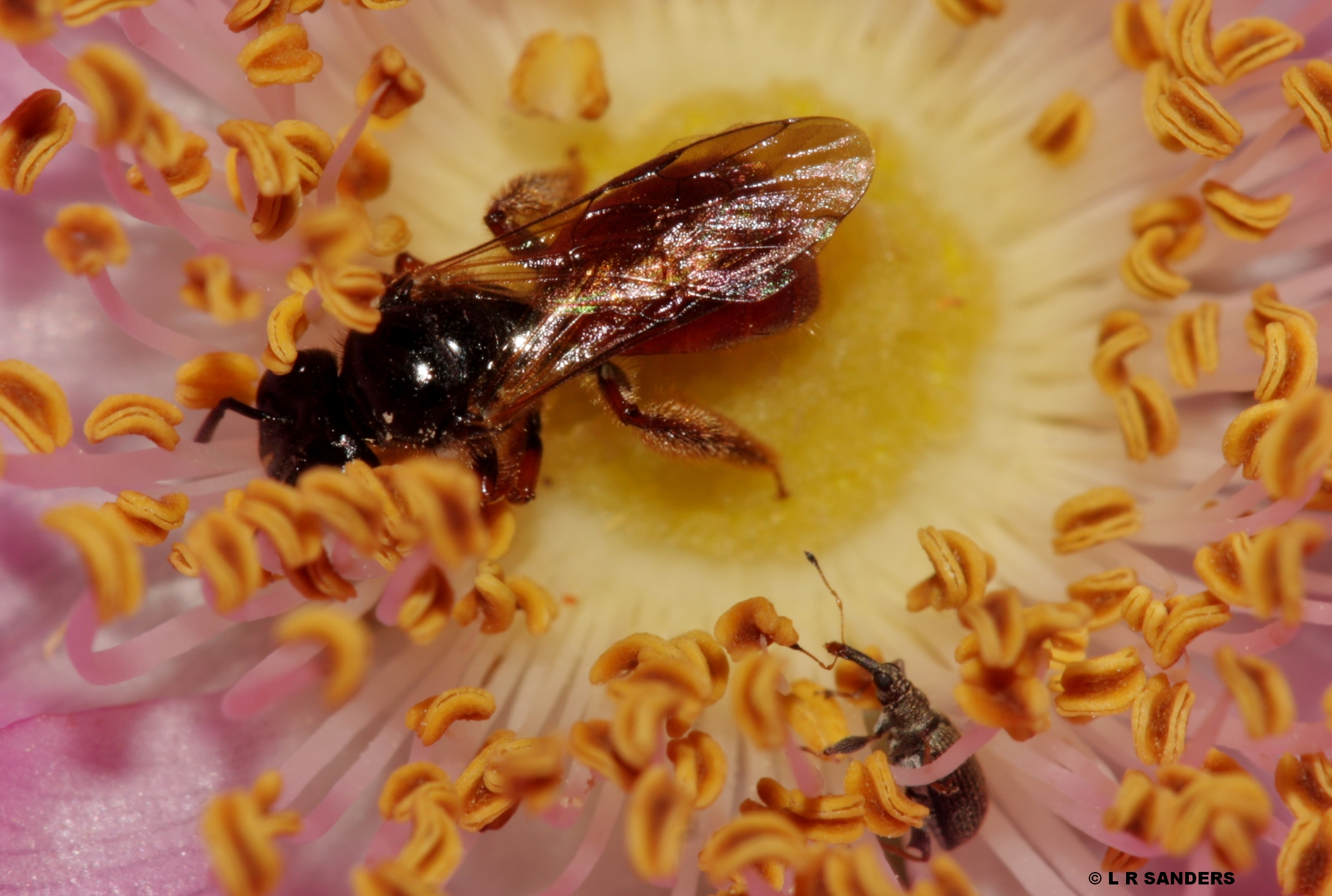
unid bee on Rosa rugosa
Topographic Map of Guyra Shire Council, Guyra, NSW, Australia
Find elevation by address:

Places in Guyra Shire Council, Guyra, NSW, Australia:
Places near Guyra Shire Council, Guyra, NSW, Australia:
Wards Mistake
737 Aqua Park Rd
Mount Mitchell
123 Warra Forest Rd
Thalgarrah
Armidale Regional Council
Yarrowmount
Armidale Dumaresq Council
1000 Tablelands Rd
Red Range
Ebor
Glen Innes Severn Shire Council
Skeleton Creek Road
Tyringham
2413 Tyringham Rd
7630 Armidale Rd
Fernbrook
247 Deer Vale Rd
Clarence Valley Council
Carrai
Recent Searches:
- Elevation of Unnamed Road, Respublika Severnaya Osetiya — Alaniya, Russia
- Elevation of Verkhny Fiagdon, North Ossetia–Alania Republic, Russia
- Elevation of F. Viola Hiway, San Rafael, Bulacan, Philippines
- Elevation of Herbage Dr, Gulfport, MS, USA
- Elevation of Lilac Cir, Haldimand, ON N3W 2G9, Canada
- Elevation of Harrod Branch Road, Harrod Branch Rd, Kentucky, USA
- Elevation of Wyndham Grand Barbados Sam Lords Castle All Inclusive Resort, End of Belair Road, Long Bay, Bridgetown Barbados
- Elevation of Iga Trl, Maggie Valley, NC, USA
- Elevation of N Co Rd 31D, Loveland, CO, USA
- Elevation of Lindever Ln, Palmetto, FL, USA