Elevation of 17 Glencoe St, Glencoe NSW, Australia
Location: Australia > New South Wales > Glen Innes Severn Shire Council >
Longitude: 151.726914
Latitude: -29.927560
Elevation: 1157m / 3796feet
Barometric Pressure: 88KPa
Elevation Map:
Satellite Map:
Related Photos:
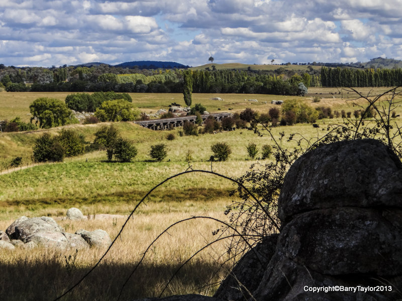
Stonehenge Reserve Overlooking Disused Railway Bridge
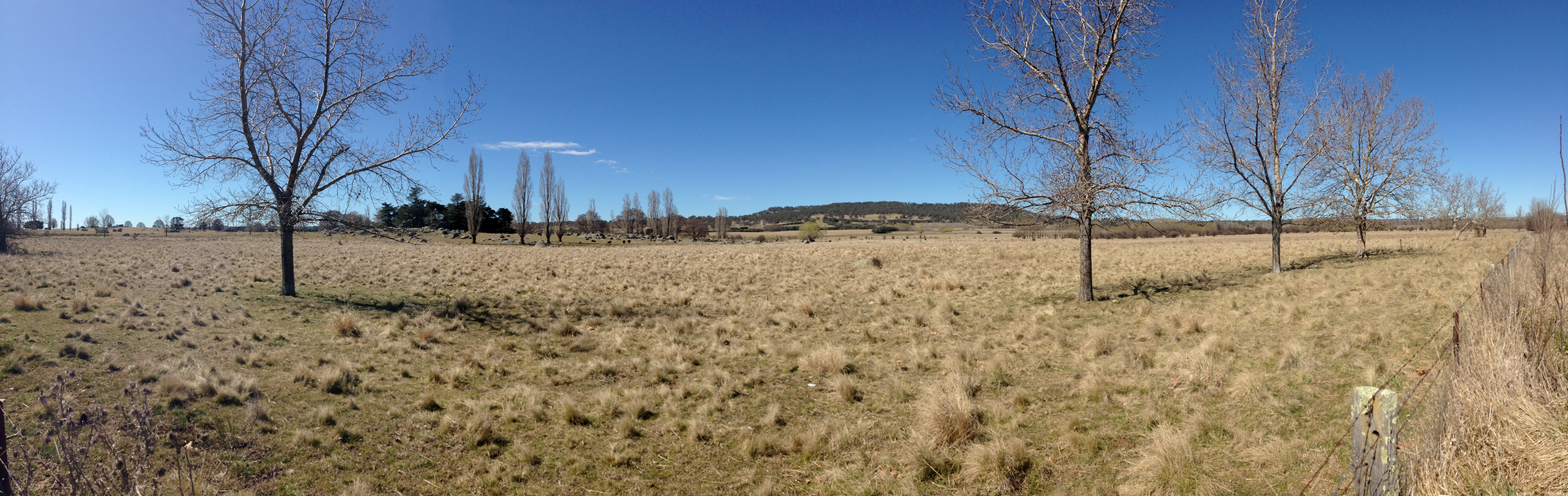
Trees a light
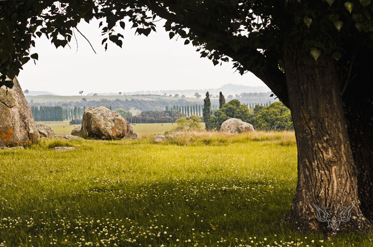
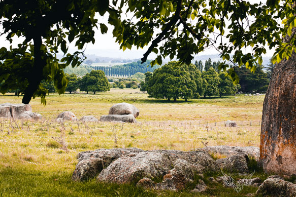
Stonehenge Glen Innes (Summer)
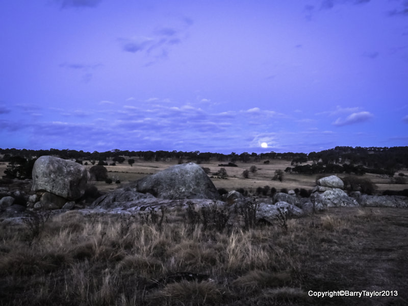
Rising Full Moon June 23rd - "Super Moon" (but have seen much larger)
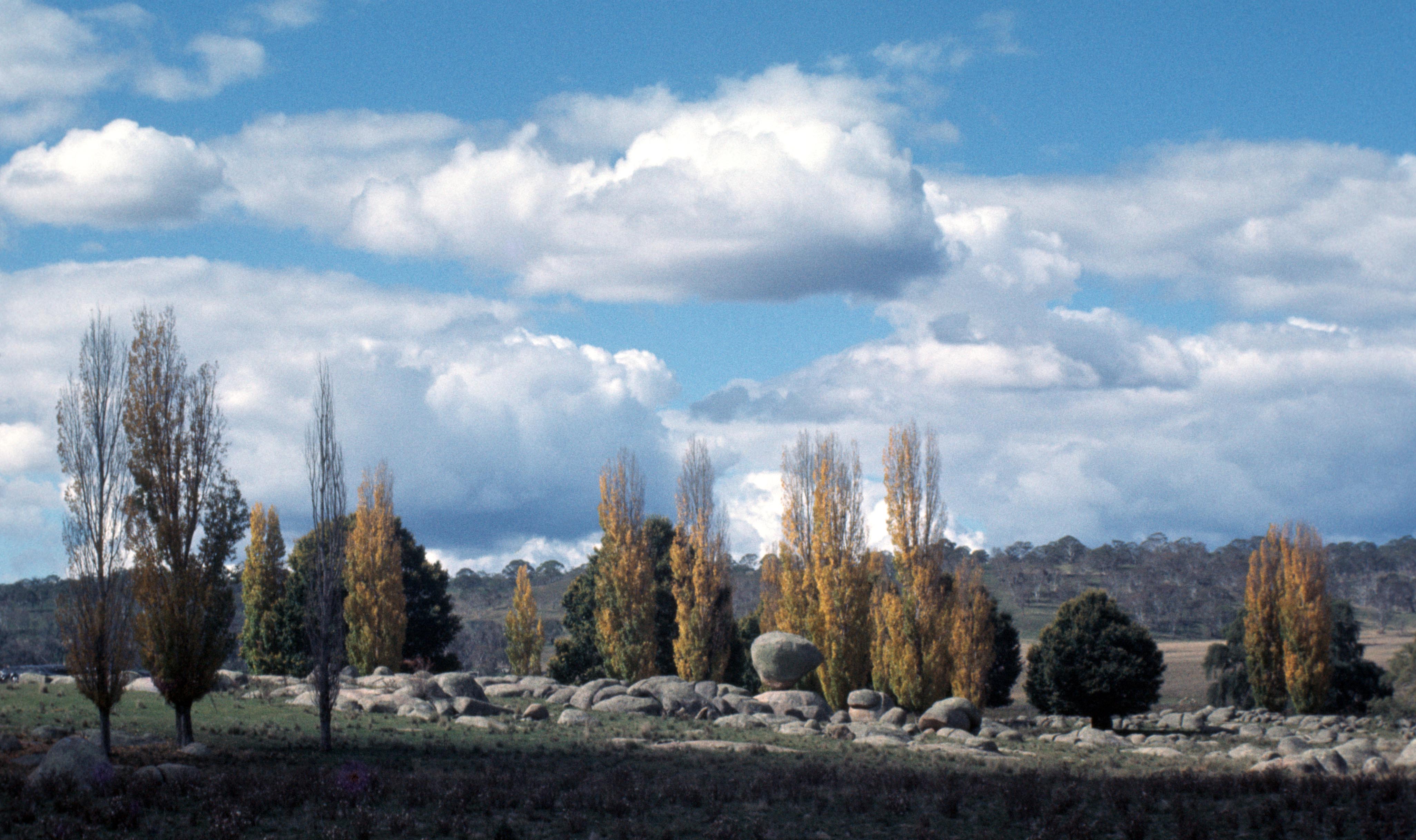
Autumn Colours Stonehenge Glen Innes N.S.W.

Stonehenge Farm Crop
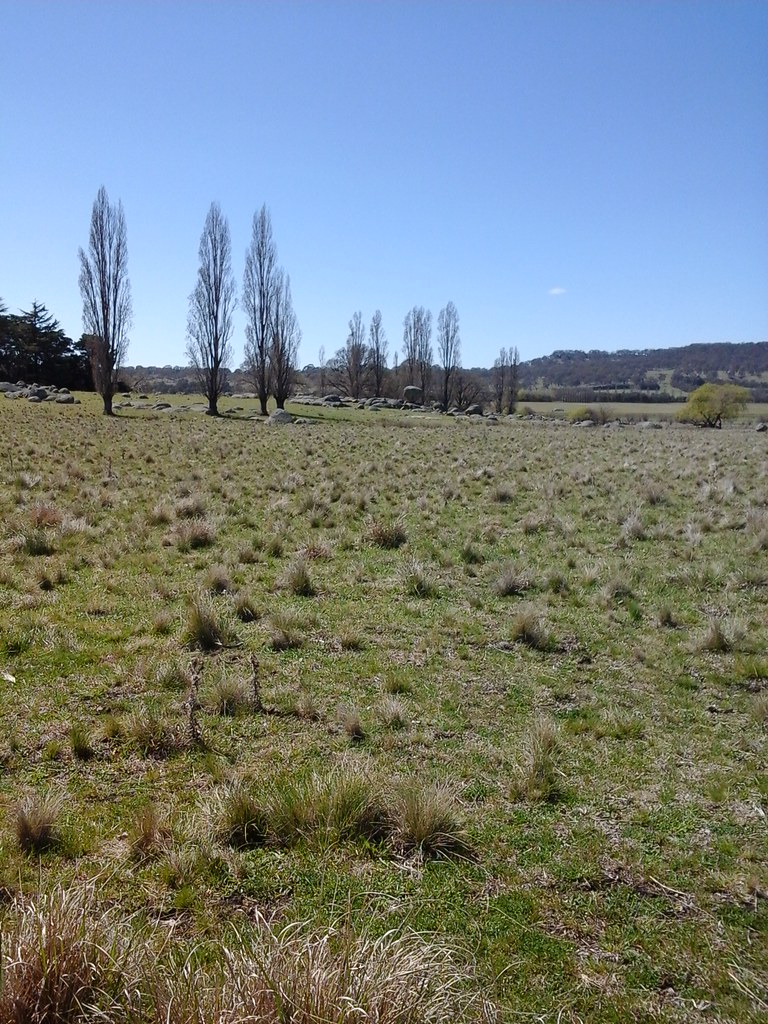
197505 107 Balancing Rock by the New England Highway

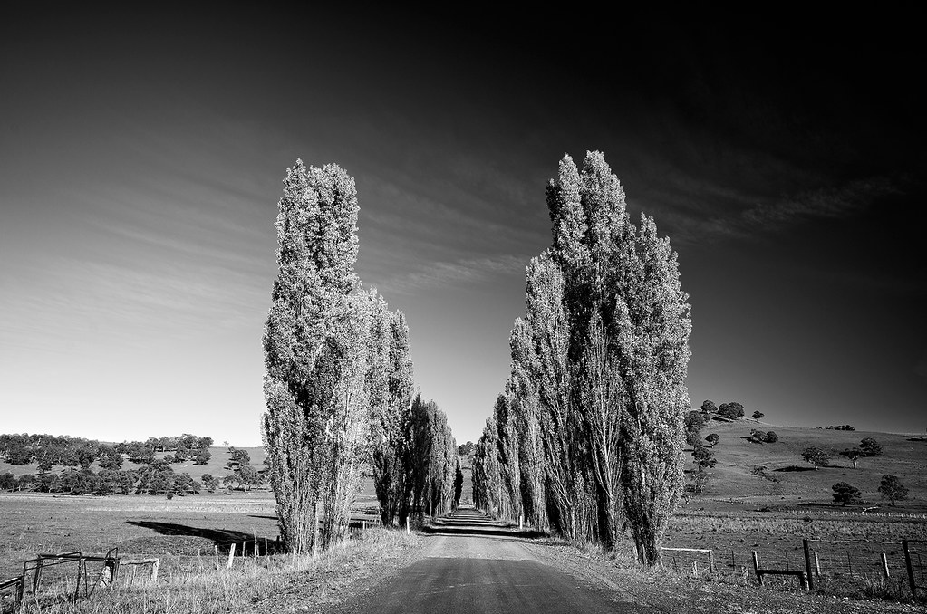
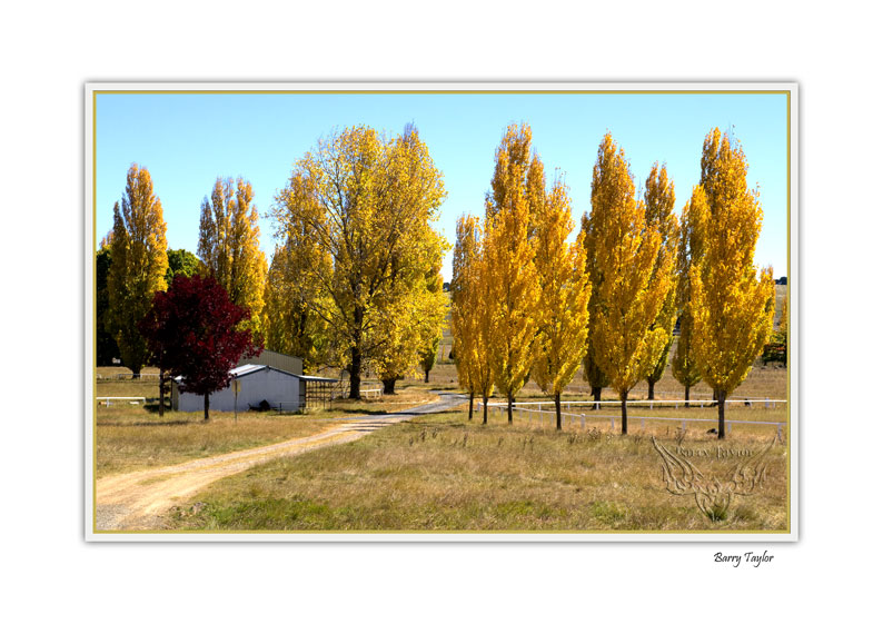
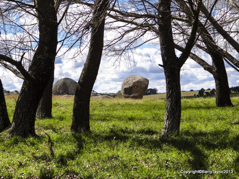
Avenue of Gold
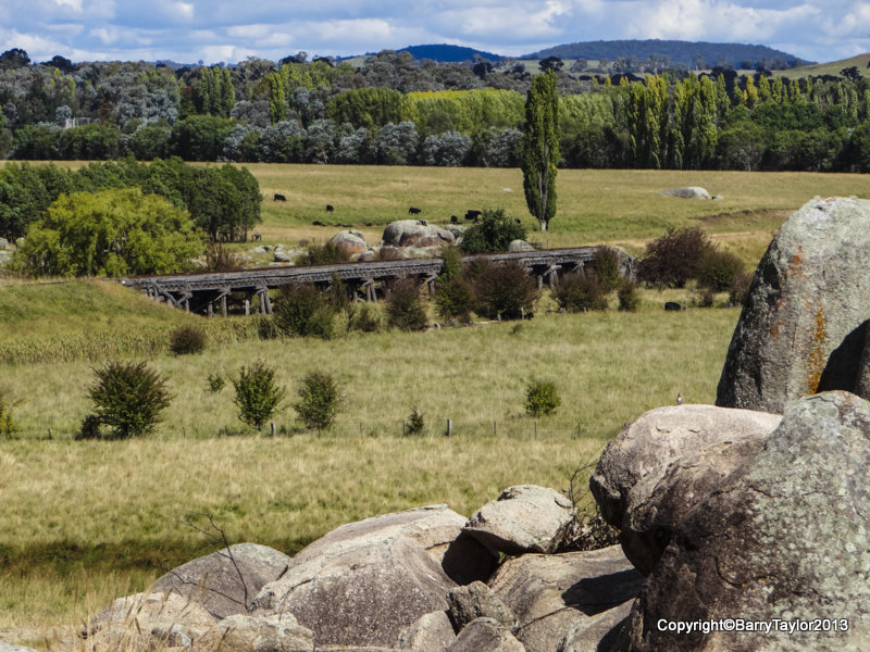
Stonehenge Reserve Overlooking disused Railway Bridge
Stonehenge Glen Innes N.S.W.
Stonehenge Glen Innes N.S.W.
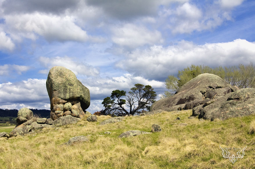
Stonehenge Reserve Granite Formations
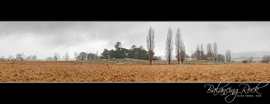
Balancing Rock
Balancing Rock Glen Innes 2014-09-28
Balancing Rock
Topographic Map of 17 Glencoe St, Glencoe NSW, Australia
Find elevation by address:

Places near 17 Glencoe St, Glencoe NSW, Australia:
Glencoe
Ben Lomond
Llangothlin
2 Ward Cres
872 Red Range Rd
Glen Innes
164 Wentworth St
168 Ben Lomond Rd
197 Ben Lomond Rd
275 Meade St
49 Coronation Ave
164 Taylor St
160 Macquarie St
74 Wullamulla St
Elmsleigh
Shannon Vale
Guyra
Guyra
133 Malpas St
Green Hills
Recent Searches:
- Elevation of Kreuzburger Weg 13, Düsseldorf, Germany
- Elevation of Gateway Blvd SE, Canton, OH, USA
- Elevation of East W.T. Harris Boulevard, E W.T. Harris Blvd, Charlotte, NC, USA
- Elevation of West Sugar Creek, Charlotte, NC, USA
- Elevation of Wayland, NY, USA
- Elevation of Steadfast Ct, Daphne, AL, USA
- Elevation of Lagasgasan, X+CQH, Tiaong, Quezon, Philippines
- Elevation of Rojo Ct, Atascadero, CA, USA
- Elevation of Flagstaff Drive, Flagstaff Dr, North Carolina, USA
- Elevation of Avery Ln, Lakeland, FL, USA