Elevation of Little River 72, Ashdown, AR, USA
Location: United States > Arkansas > Little River County > Franklin Township >
Longitude: -93.922042
Latitude: 33.6483739
Elevation: 93m / 305feet
Barometric Pressure: 100KPa
Elevation Map:
Satellite Map:
Related Photos:
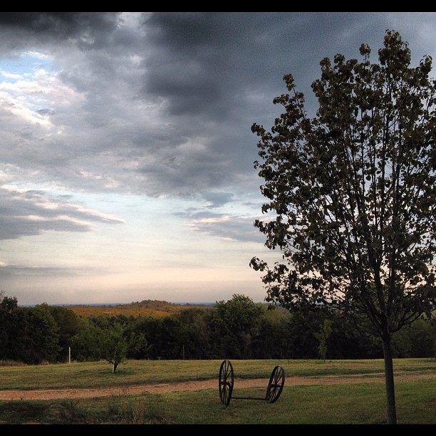
Pretty #view from the #house last #night.

Heading In...

Monday Sunset

Easter Sunset

Sunset April 10 Steinheil Slide-2 small

Sunset April 27
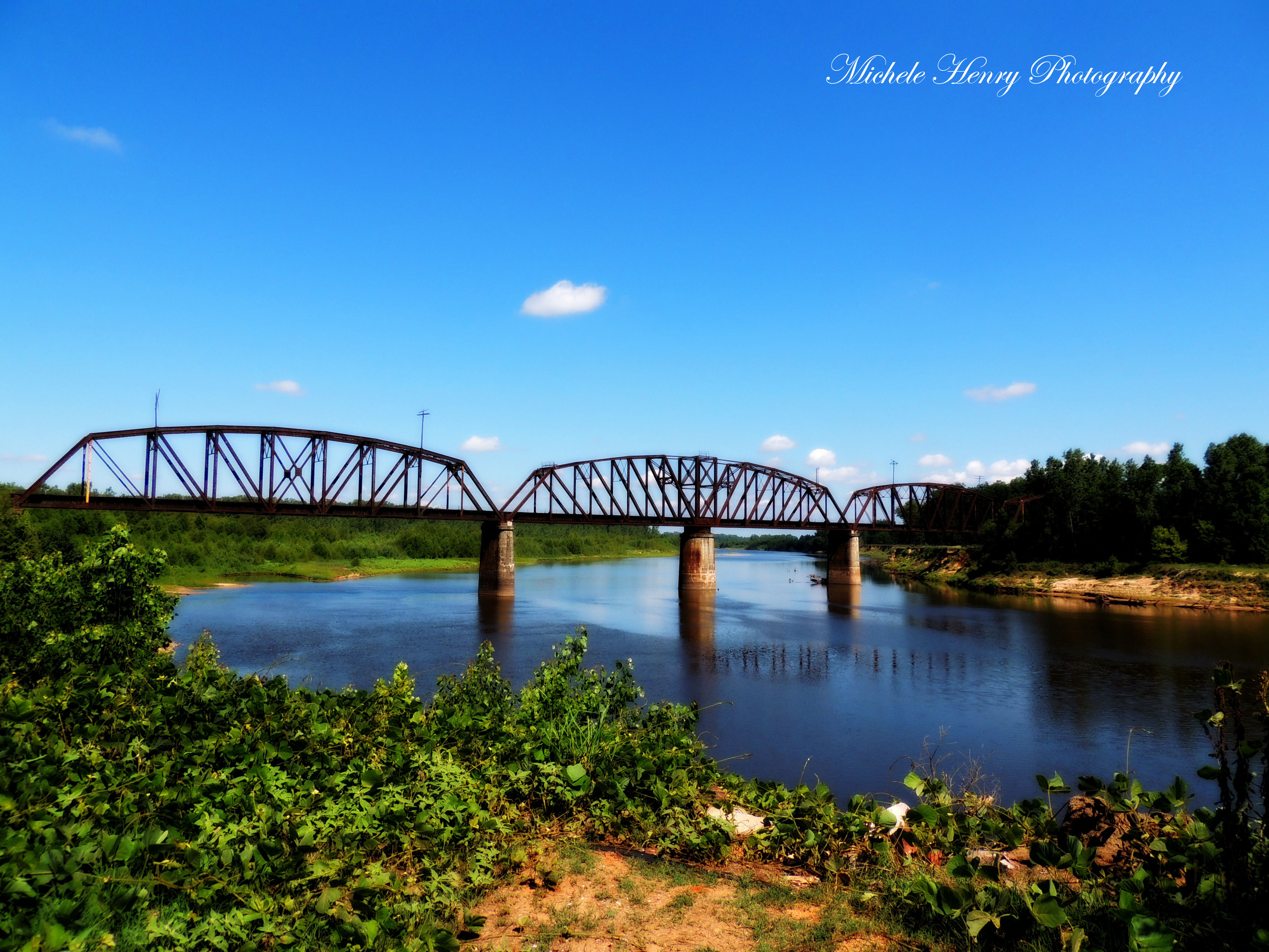
Red River
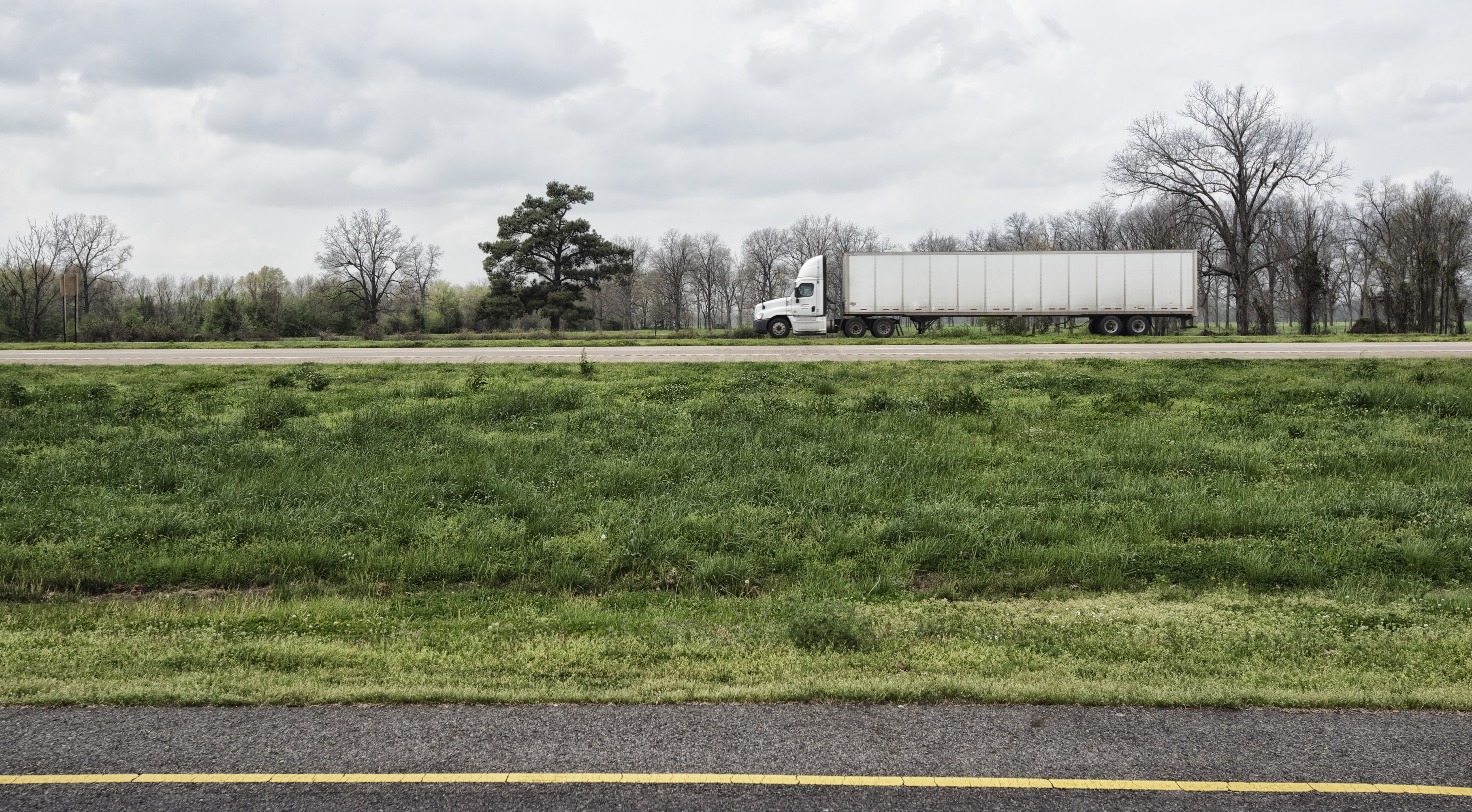
On the Road, Arkansas
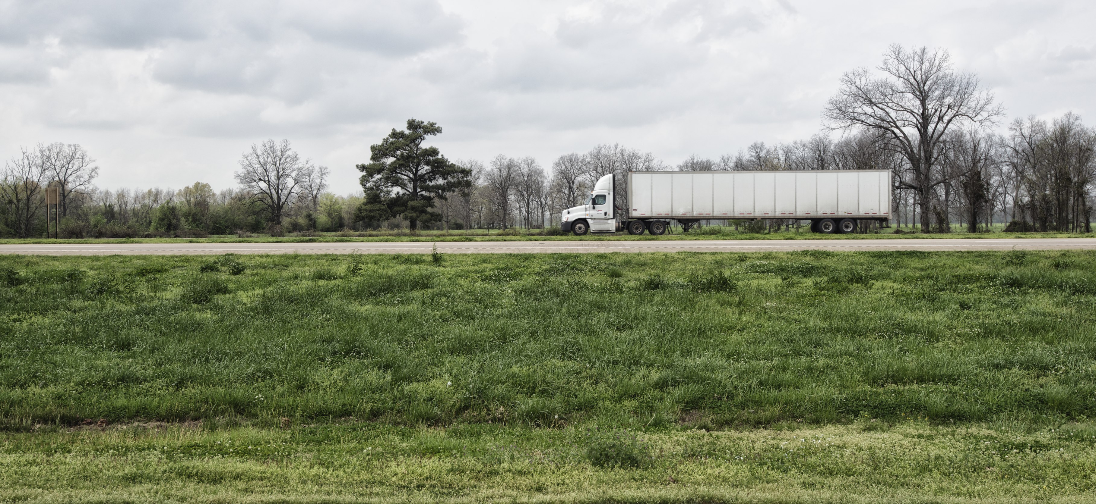
Arkansas, 2015.

Windy Clouds
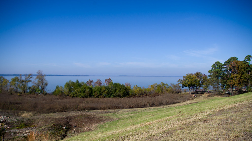
Tranquil Lake
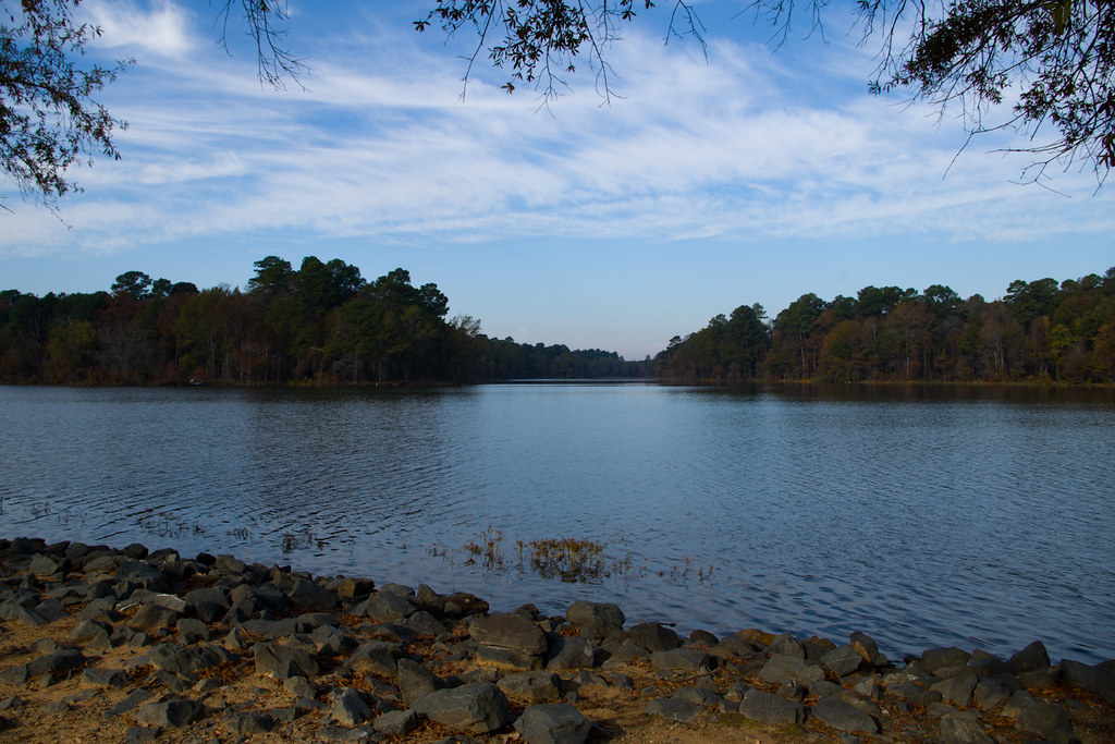
Morning at Millwood Lake
Topographic Map of Little River 72, Ashdown, AR, USA
Find elevation by address:

Places near Little River 72, Ashdown, AR, USA:
Little River 33, Ashdown, AR, USA
Franklin Township
AR-32, Ashdown, AR, USA
Little River 70, Ogden, AR, USA
Fulton
Mount-Prairie, Fulton, AR, USA
Bois D'arc Township
Little River 70, Ogden, AR, USA
Ogden
Jacks Isle Rd, Ashdown, AR, USA
Mandeville
144-142
Co Rd, Texarkana, AR, USA
6623 Dooley Ferry Rd
State Hwy, Texarkana, AR, USA
Garland Township
21 E Main St, Ashdown, AR, USA
Ashdown
Jefferson Township
2215 N Rondo Rd
Recent Searches:
- Elevation of Vista Blvd, Sparks, NV, USA
- Elevation of 15th Ave SE, St. Petersburg, FL, USA
- Elevation of Beall Road, Beall Rd, Florida, USA
- Elevation of Leguwa, Nepal
- Elevation of County Rd, Enterprise, AL, USA
- Elevation of Kolchuginsky District, Vladimir Oblast, Russia
- Elevation of Shustino, Vladimir Oblast, Russia
- Elevation of Lampiasi St, Sarasota, FL, USA
- Elevation of Elwyn Dr, Roanoke Rapids, NC, USA
- Elevation of Congressional Dr, Stevensville, MD, USA