Elevation of Little River 70, Ogden, AR, USA
Location: United States > Arkansas > Little River County > Ogden >
Longitude: -94.032149
Latitude: 33.582293
Elevation: 94m / 308feet
Barometric Pressure: 100KPa
Elevation Map:
Satellite Map:
Related Photos:

Lone Crow

11/9/2010 Secret Codes

Welcome To Arkansas

Azalea Bloom in Early Spring

Hibiscus in Full Bloom
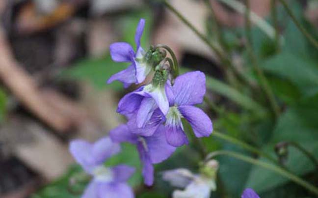
It Tries So Hard To Be A Flower
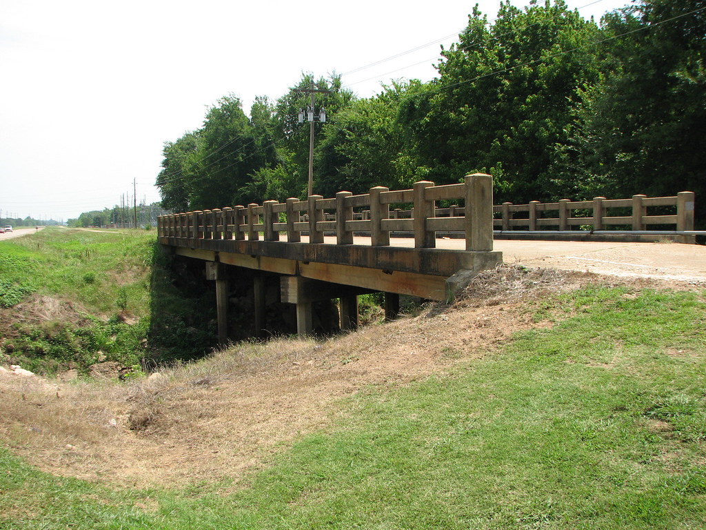
McKinney Bayou- Side View

even better upon second viewing... I voted at my local theater with my hard-earned dollars today. ????
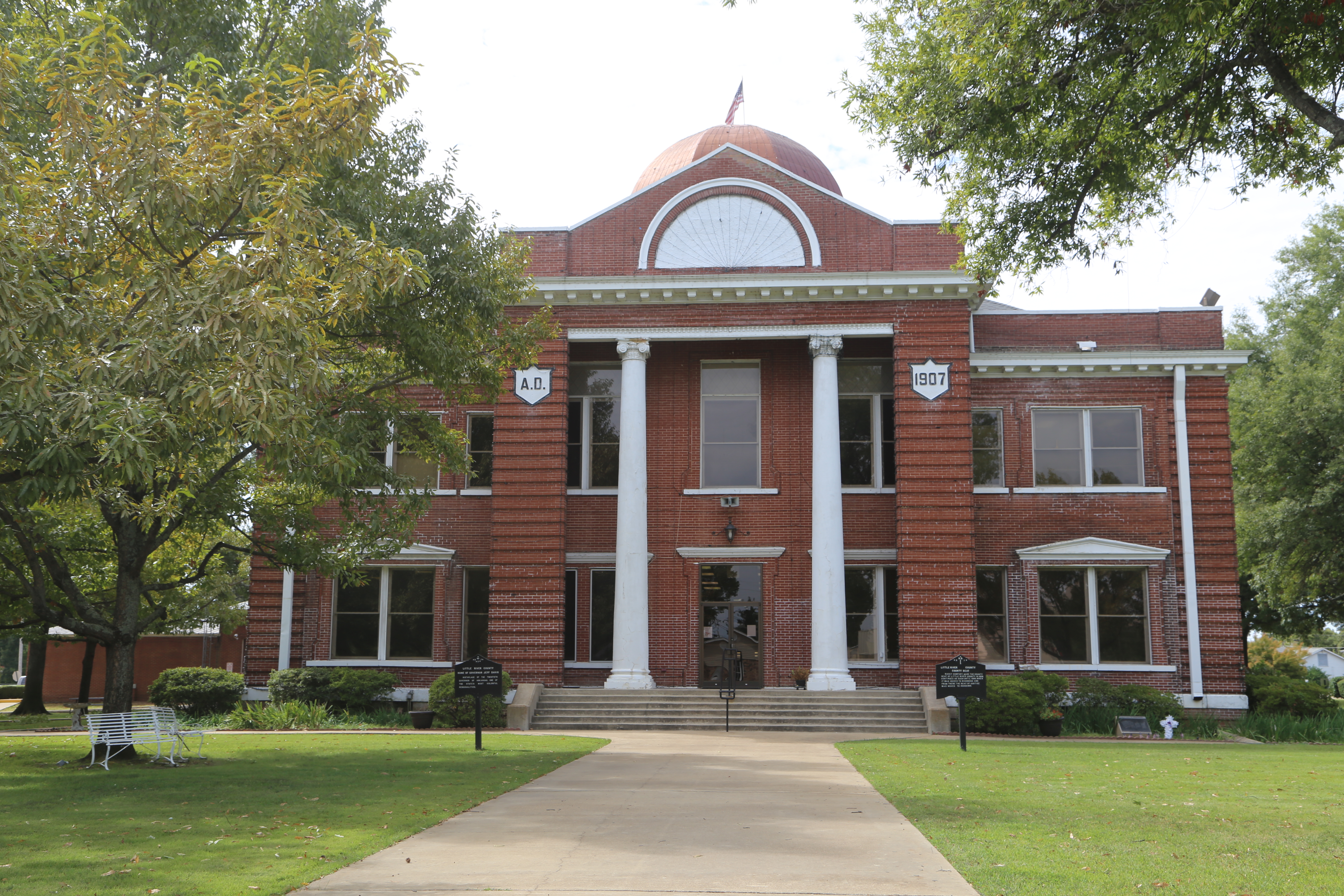
Ashdown Arkansas, County Courthouse, Little River County AR

Sunset April 27

Sunset April 10 Steinheil Slide-2 small
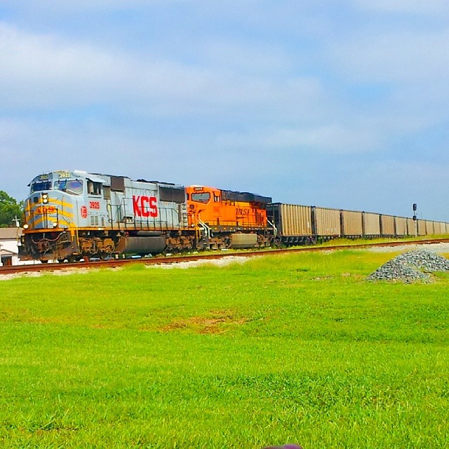
#KCS #KansasCitySouthern 3925 #sd70mac
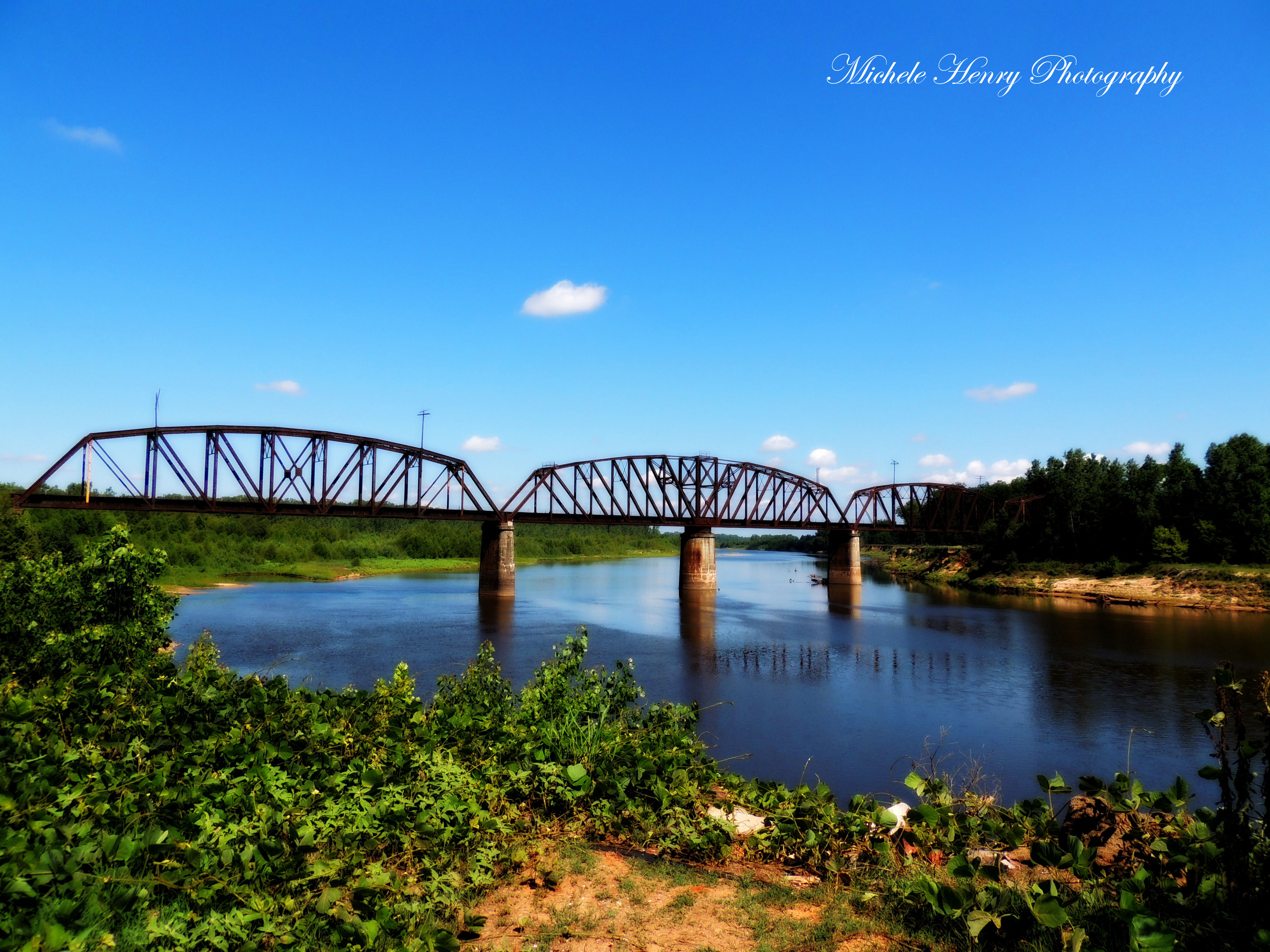
Red River

Water Colors
Topographic Map of Little River 70, Ogden, AR, USA
Find elevation by address:

Places near Little River 70, Ogden, AR, USA:
Ogden
Little River 70, Ogden, AR, USA
Franklin Township
AR-32, Ashdown, AR, USA
Jefferson Township
Little River 33, Ashdown, AR, USA
7106 Gunstock Rd
8526 Summerhill Rd
Pine Prairie Rd, Ashdown, AR, USA
Mandeville
Co Rd, Texarkana, AR, USA
Wamba
North Heights
Little River 72, Ashdown, AR, USA
Potato Patch
10 Wade Trail
1319 E 31st St
6623 Dooley Ferry Rd
21 E Main St, Ashdown, AR, USA
Ashdown
Recent Searches:
- Elevation of Corso Fratelli Cairoli, 35, Macerata MC, Italy
- Elevation of Tallevast Rd, Sarasota, FL, USA
- Elevation of 4th St E, Sonoma, CA, USA
- Elevation of Black Hollow Rd, Pennsdale, PA, USA
- Elevation of Oakland Ave, Williamsport, PA, USA
- Elevation of Pedrógão Grande, Portugal
- Elevation of Klee Dr, Martinsburg, WV, USA
- Elevation of Via Roma, Pieranica CR, Italy
- Elevation of Tavkvetili Mountain, Georgia
- Elevation of Hartfords Bluff Cir, Mt Pleasant, SC, USA