Elevation of Ogden, AR, USA
Location: United States > Arkansas > Little River County >
Longitude: -94.042690
Latitude: 33.5826222
Elevation: 94m / 308feet
Barometric Pressure: 100KPa
Elevation Map:
Satellite Map:
Related Photos:

Lone Crow

Welcome To Arkansas

11/9/2010 Secret Codes

Azalea Bloom in Early Spring

Hibiscus in Full Bloom

It Tries So Hard To Be A Flower
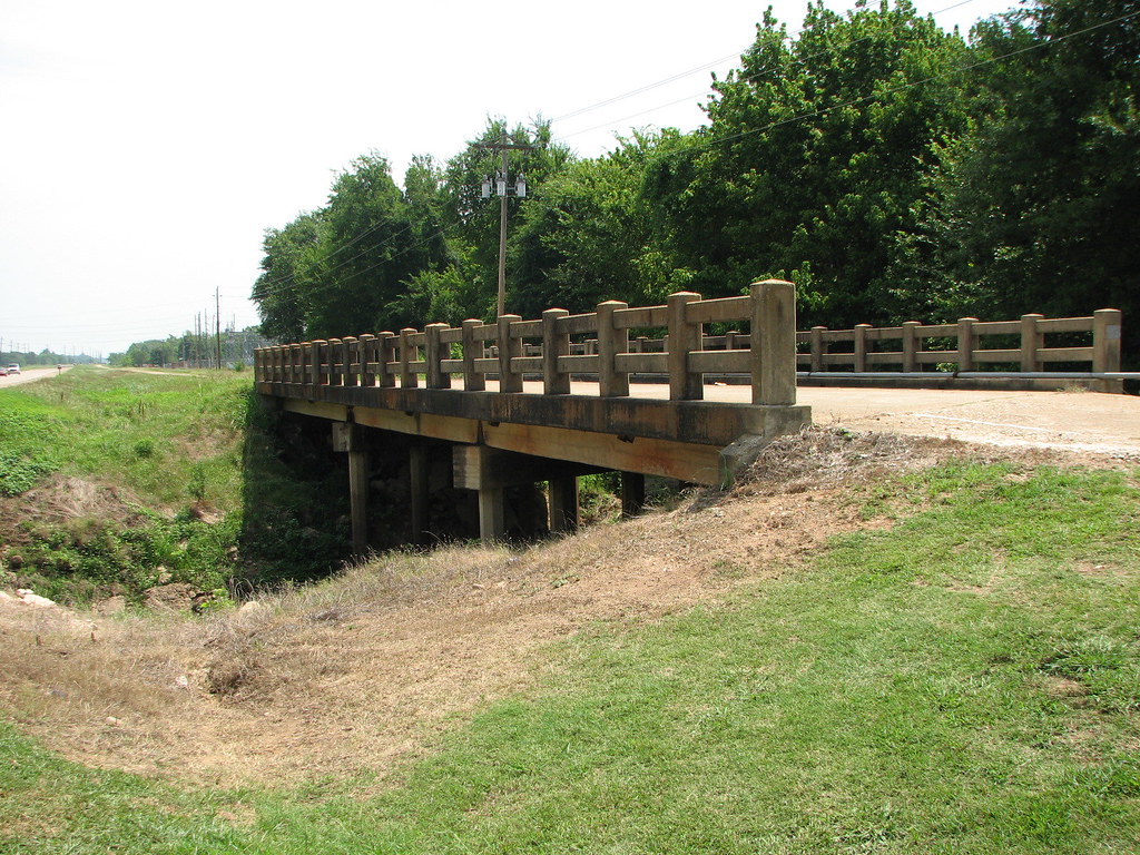
McKinney Bayou- Side View

even better upon second viewing... I voted at my local theater with my hard-earned dollars today. ????
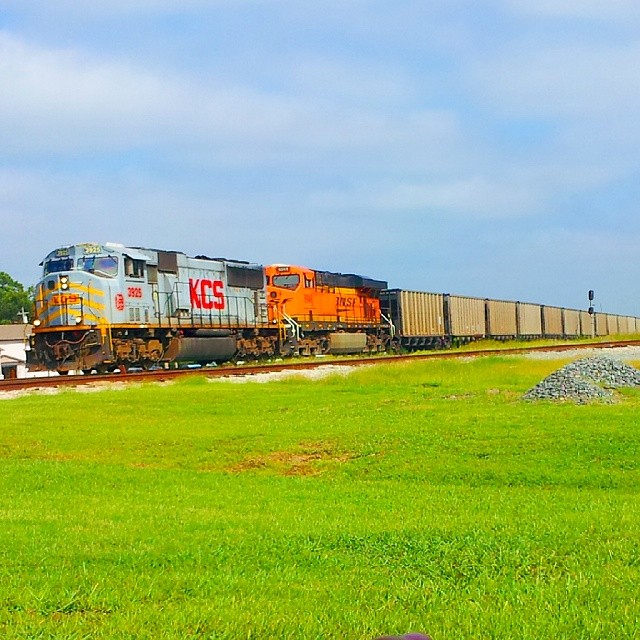
#KCS #KansasCitySouthern 3925 #sd70mac
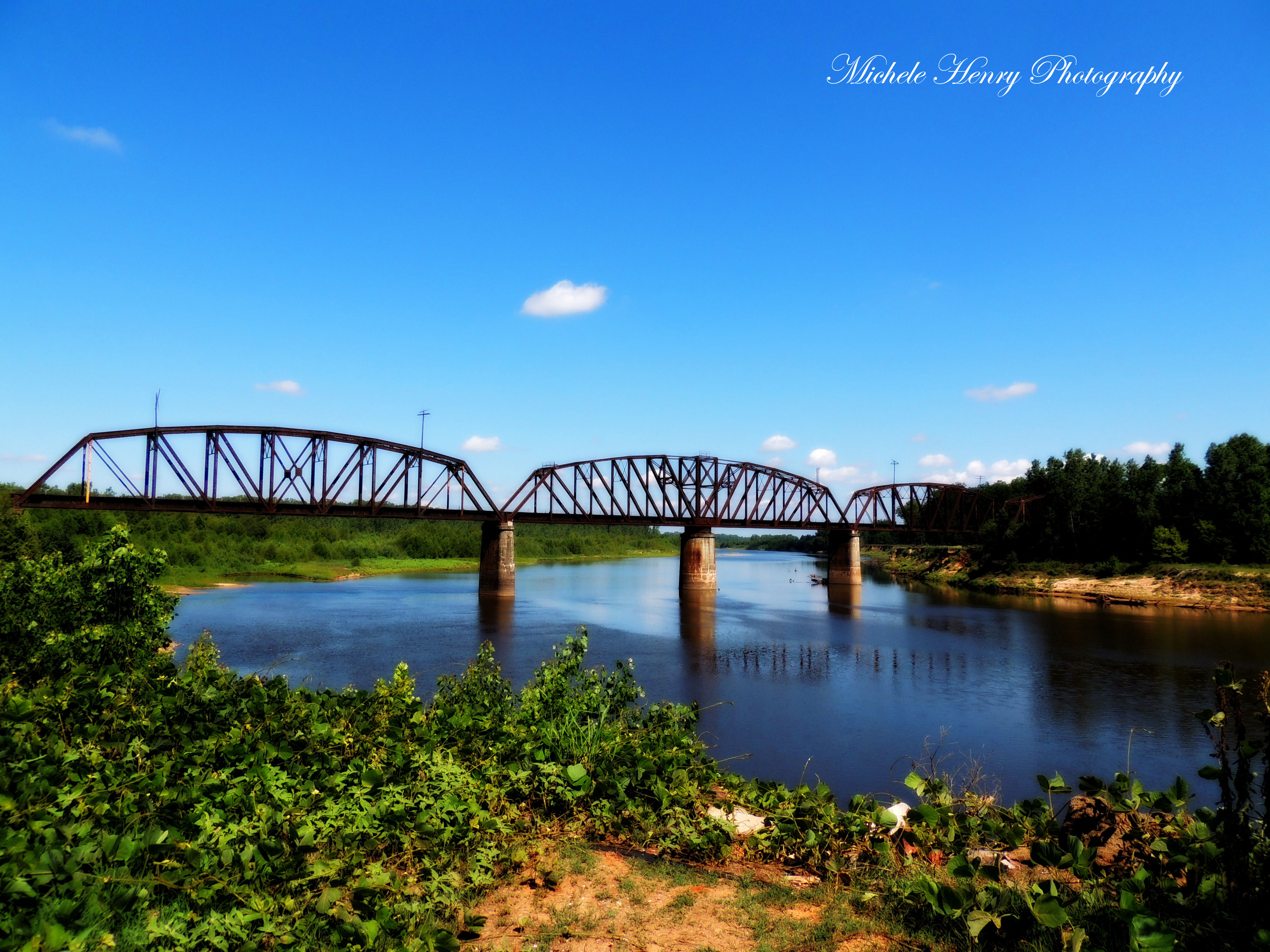
Red River
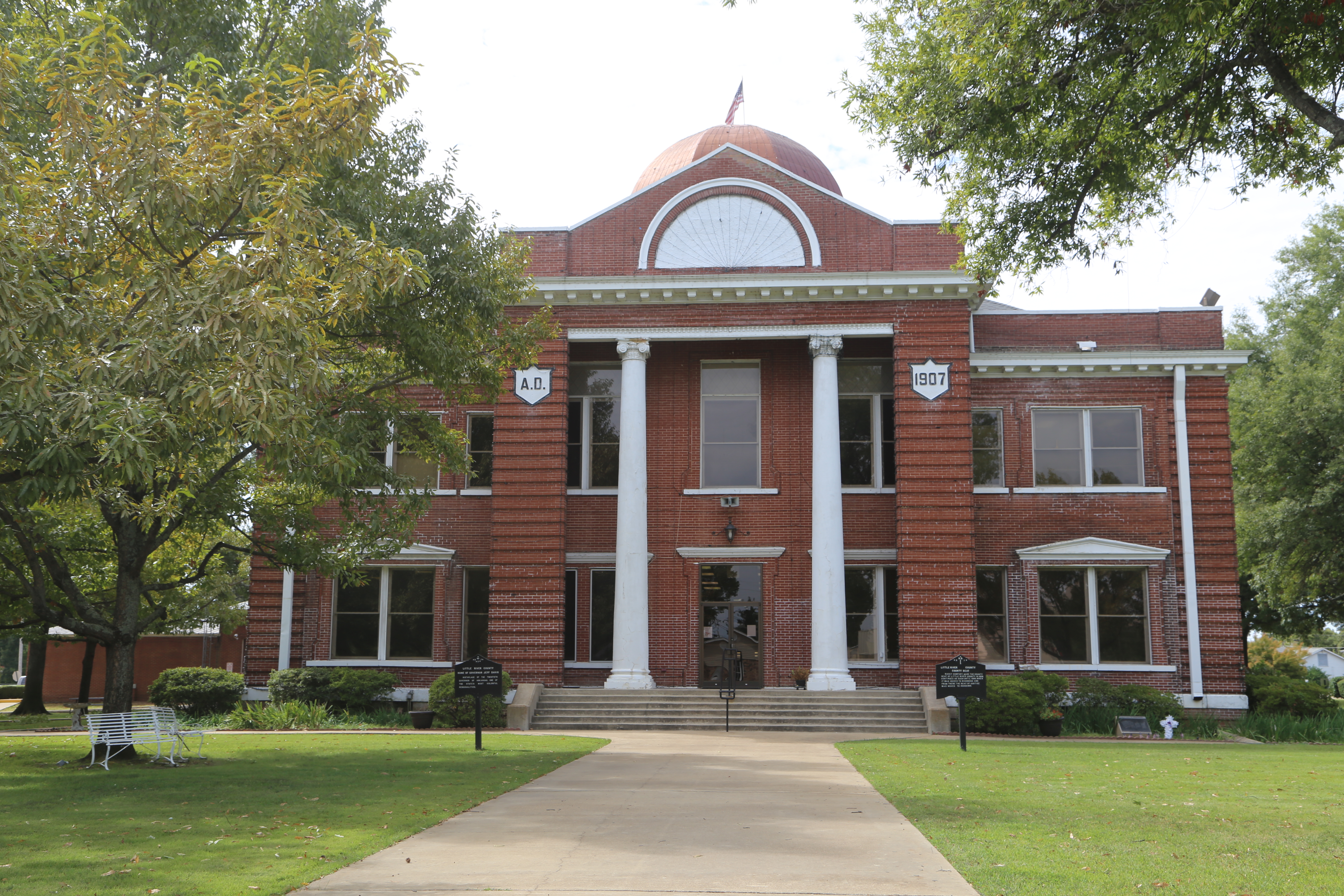
Ashdown Arkansas, County Courthouse, Little River County AR

Water Colors
Topographic Map of Ogden, AR, USA
Find elevation by address:

Places in Ogden, AR, USA:
Places near Ogden, AR, USA:
Little River 70, Ogden, AR, USA
Little River 70, Ogden, AR, USA
Franklin Township
Jefferson Township
Pine Prairie Rd, Ashdown, AR, USA
8526 Summerhill Rd
7106 Gunstock Rd
AR-32, Ashdown, AR, USA
Little River 33, Ashdown, AR, USA
Wamba
Mandeville
21 E Main St, Ashdown, AR, USA
Ashdown
Co Rd, Texarkana, AR, USA
Potato Patch
North Heights
10 Wade Trail
1319 E 31st St
Jacks Isle Rd, Ashdown, AR, USA
3310 Pleasant Grove Rd
Recent Searches:
- Elevation of Corso Fratelli Cairoli, 35, Macerata MC, Italy
- Elevation of Tallevast Rd, Sarasota, FL, USA
- Elevation of 4th St E, Sonoma, CA, USA
- Elevation of Black Hollow Rd, Pennsdale, PA, USA
- Elevation of Oakland Ave, Williamsport, PA, USA
- Elevation of Pedrógão Grande, Portugal
- Elevation of Klee Dr, Martinsburg, WV, USA
- Elevation of Via Roma, Pieranica CR, Italy
- Elevation of Tavkvetili Mountain, Georgia
- Elevation of Hartfords Bluff Cir, Mt Pleasant, SC, USA