Elevation of Jacks Isle Rd, Ashdown, AR, USA
Location: United States > Arkansas > Little River County > Franklin Township >
Longitude: -94.056408
Latitude: 33.7167249
Elevation: 95m / 312feet
Barometric Pressure: 100KPa
Elevation Map:
Satellite Map:
Related Photos:

Davis Slough-Side View

Davis Slough-Deck View
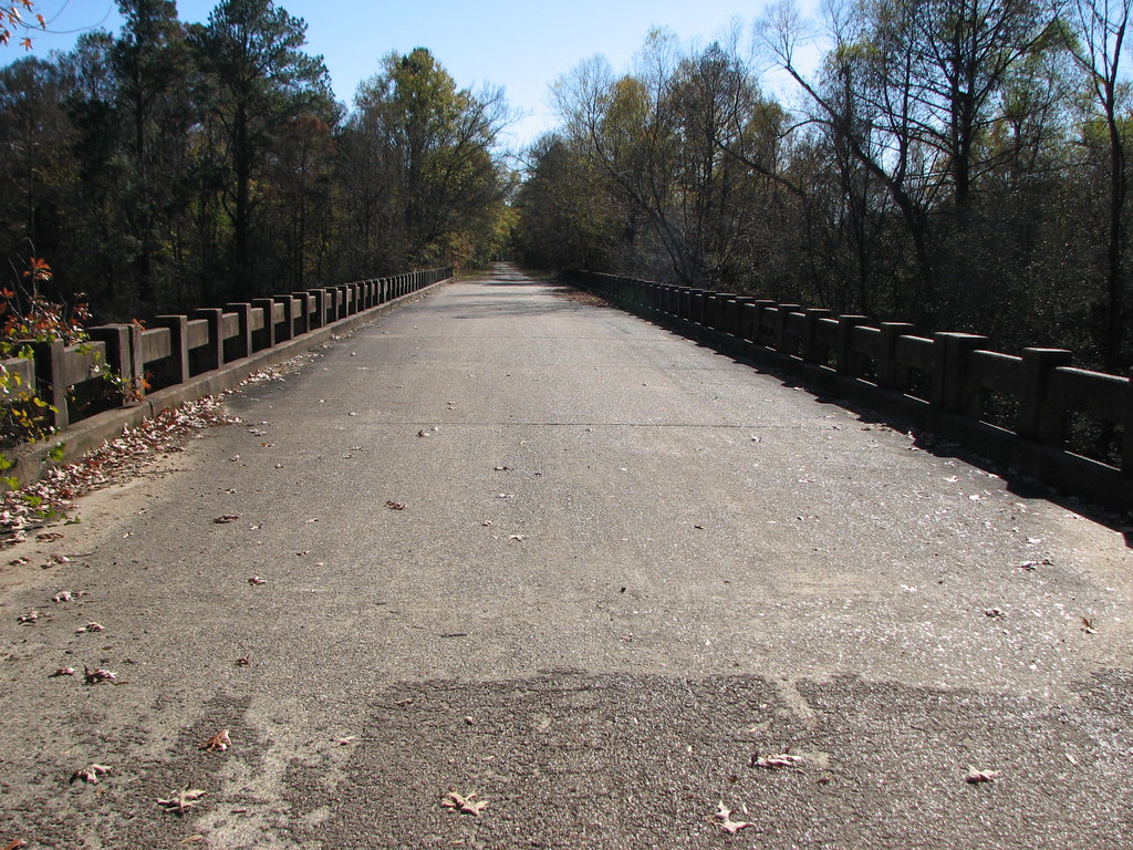
Davis Slough-Deck View
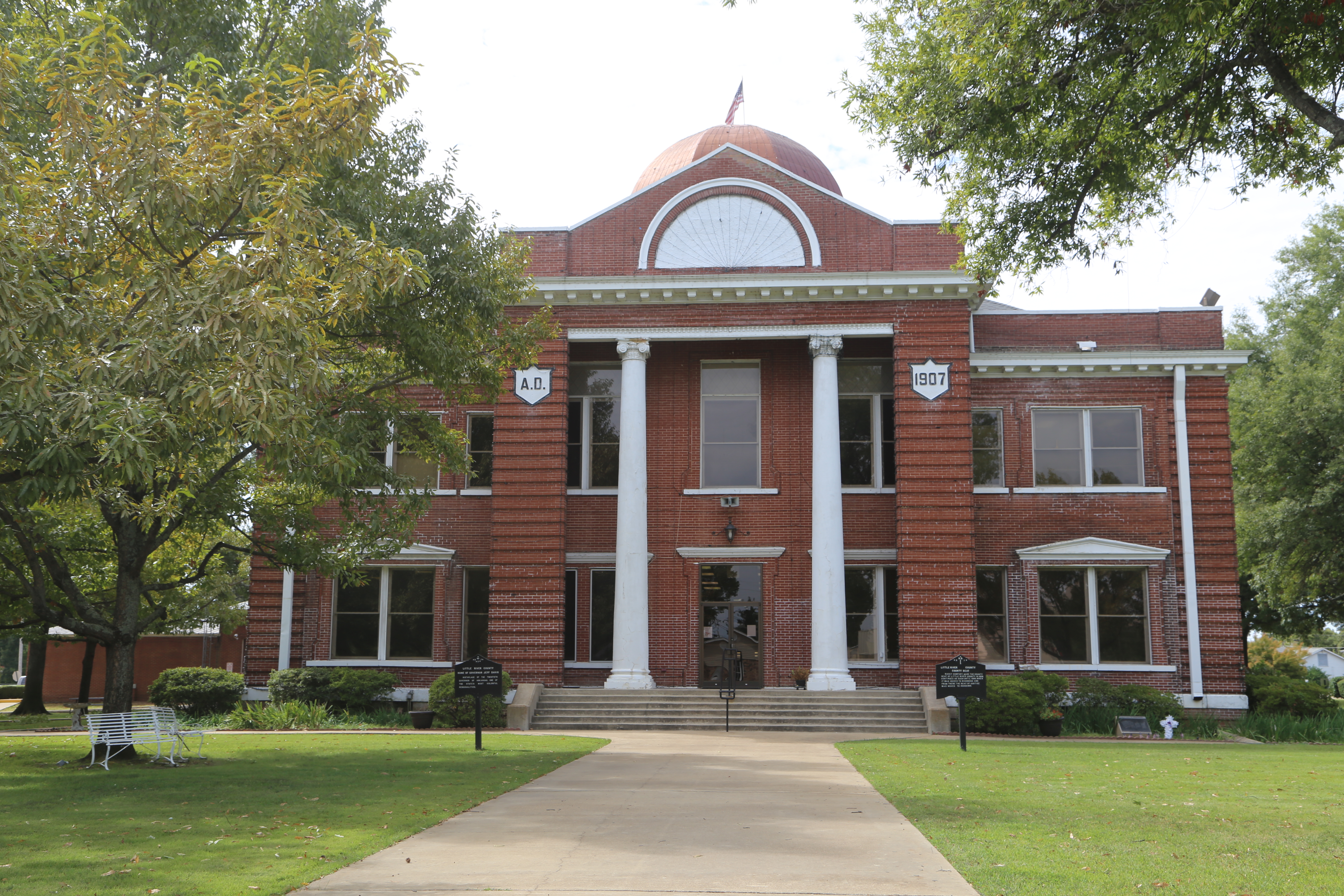
Ashdown Arkansas, County Courthouse, Little River County AR

Monday Sunset

Heading In...

Easter Sunset

Sunset April 27

Sunset April 10 Steinheil Slide-2 small
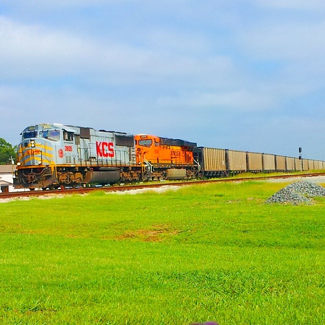
#KCS #KansasCitySouthern 3925 #sd70mac

pretty sky

Windy Clouds
Topographic Map of Jacks Isle Rd, Ashdown, AR, USA
Find elevation by address:

Places near Jacks Isle Rd, Ashdown, AR, USA:
AR-32, Ashdown, AR, USA
Little River 29, Ashdown, AR, USA
Franklin Township
Little River 33, Ashdown, AR, USA
21 E Main St, Ashdown, AR, USA
Ashdown
Jefferson Township
Ogden
Little River 70, Ogden, AR, USA
Little River County
Pine Prairie Rd, Ashdown, AR, USA
Little River 70, Ogden, AR, USA
Little River 72, Ashdown, AR, USA
Little River 17, Ashdown, AR, USA
Red River Township
8526 Summerhill Rd
Wamba
7106 Gunstock Rd
Mandeville
Co Rd, Texarkana, AR, USA
Recent Searches:
- Elevation of Beall Road, Beall Rd, Florida, USA
- Elevation of Leguwa, Nepal
- Elevation of County Rd, Enterprise, AL, USA
- Elevation of Kolchuginsky District, Vladimir Oblast, Russia
- Elevation of Shustino, Vladimir Oblast, Russia
- Elevation of Lampiasi St, Sarasota, FL, USA
- Elevation of Elwyn Dr, Roanoke Rapids, NC, USA
- Elevation of Congressional Dr, Stevensville, MD, USA
- Elevation of Bellview Rd, McLean, VA, USA
- Elevation of Stage Island Rd, Chatham, MA, USA