Elevation of Lincoln, IA, USA
Location: United States > Iowa > Tama County >
Longitude: -92.718272
Latitude: 42.263289
Elevation: 320m / 1050feet
Barometric Pressure: 98KPa
Elevation Map:
Satellite Map:
Related Photos:
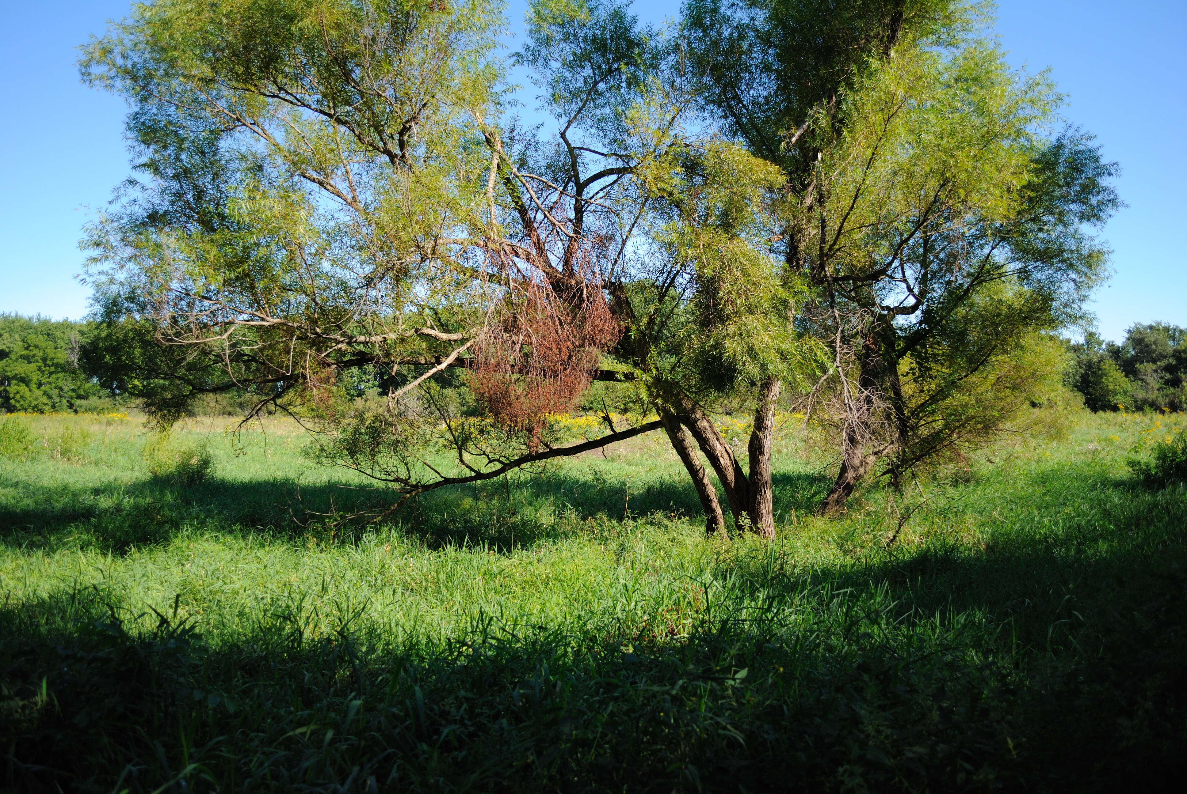
Prairie View
Peace. The view from the hot tub late at night.

Frost and Fence

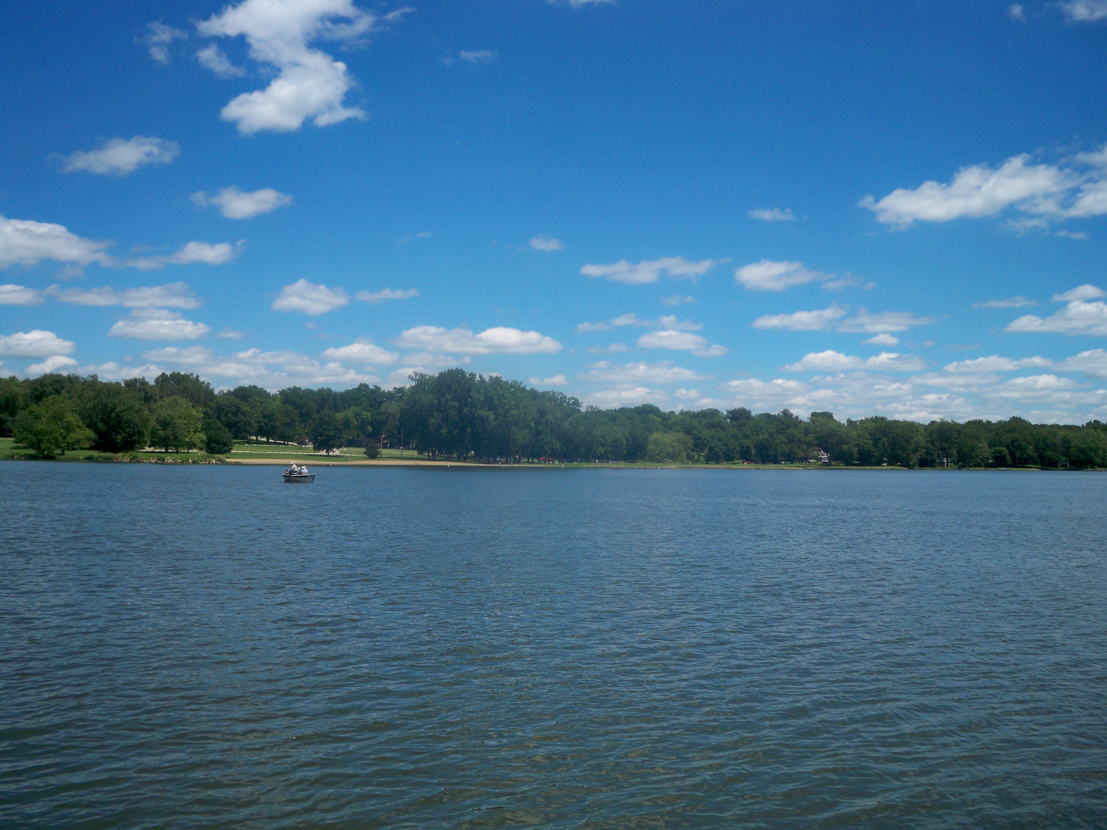
Lake at Union Grove State Park
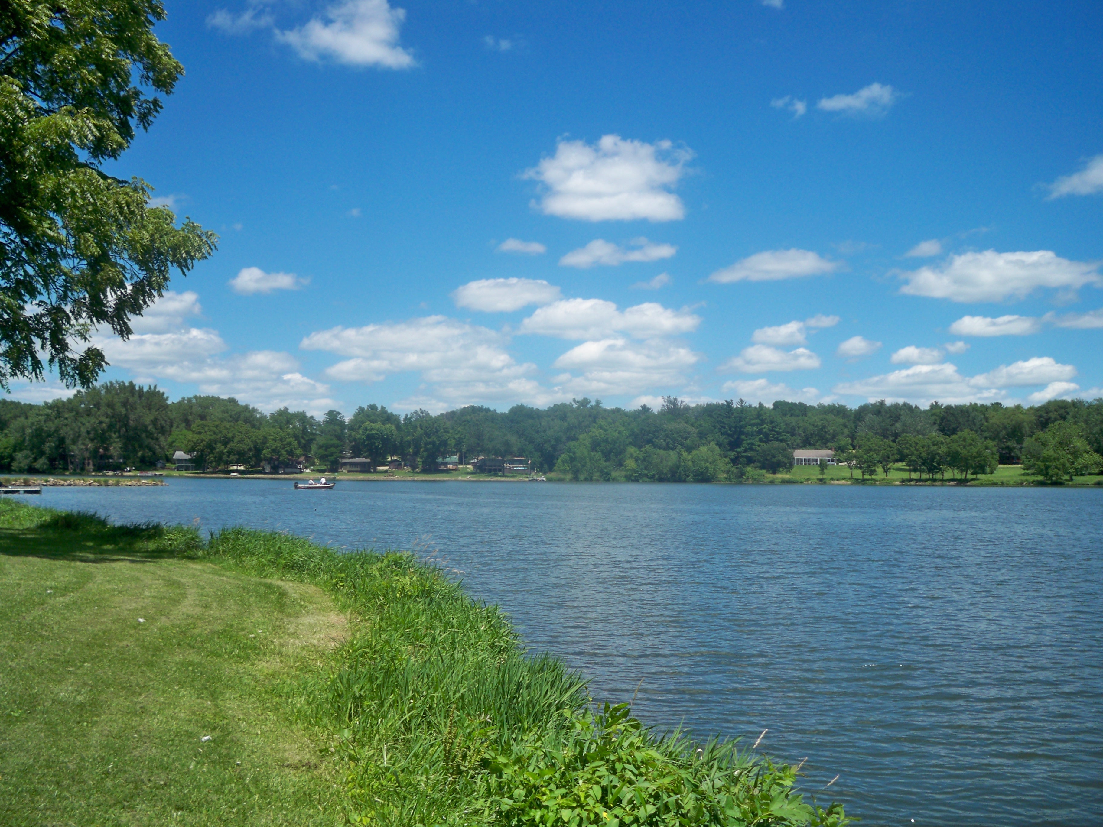
Lake at Union Grove State Park
Lake at Union Grove

Lake at Union Grove State Park

Flooded fields
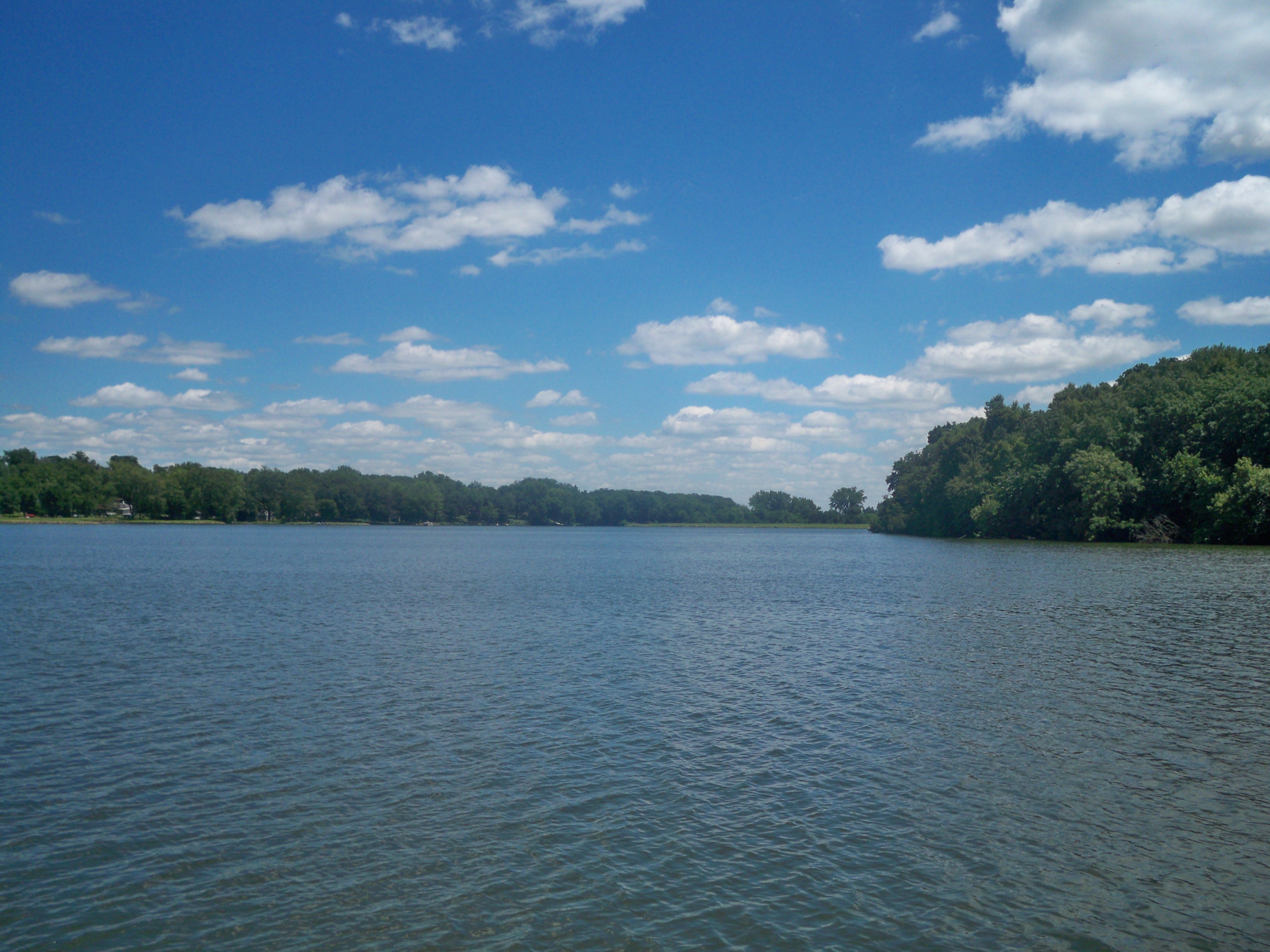
Lake at Union Grove State Park

Iowa Harvest is Near

Quilt Barn along Rt14/175, Iowa
Topographic Map of Lincoln, IA, USA
Find elevation by address:

Places near Lincoln, IA, USA:
1521 F Avenue
2nd St, Gladbrook, IA, USA
Gladbrook
1675 F Avenue
Grundy Center
4th St, Grundy Center, IA, USA
4th Ave N, Holland, IA, USA
L Ave, Reinbeck, IA, USA
Beaver
Main St, Voorhies, IA, USA
Voorhies
Voorhies
Voorhies
Main St, Dike, IA, USA
S Main St, Traer, IA, USA
Stout
8654 120th St
Black Hawk
12335 Holmes Rd
Hudson
Recent Searches:
- Elevation of Tenjo, Cundinamarca, Colombia
- Elevation of Côte-des-Neiges, Montreal, QC H4A 3J6, Canada
- Elevation of Bobcat Dr, Helena, MT, USA
- Elevation of Zu den Ihlowbergen, Althüttendorf, Germany
- Elevation of Badaber, Peshawar, Khyber Pakhtunkhwa, Pakistan
- Elevation of SE Heron Loop, Lincoln City, OR, USA
- Elevation of Slanický ostrov, 01 Námestovo, Slovakia
- Elevation of Spaceport America, Co Rd A, Truth or Consequences, NM, USA
- Elevation of Warwick, RI, USA
- Elevation of Fern Rd, Whitmore, CA, USA