Elevation of Main St, Dike, IA, USA
Location: United States > Iowa > Grundy County > Beaver > Stout >
Longitude: -92.711447
Latitude: 42.5261639
Elevation: 311m / 1020feet
Barometric Pressure: 98KPa
Elevation Map:
Satellite Map:
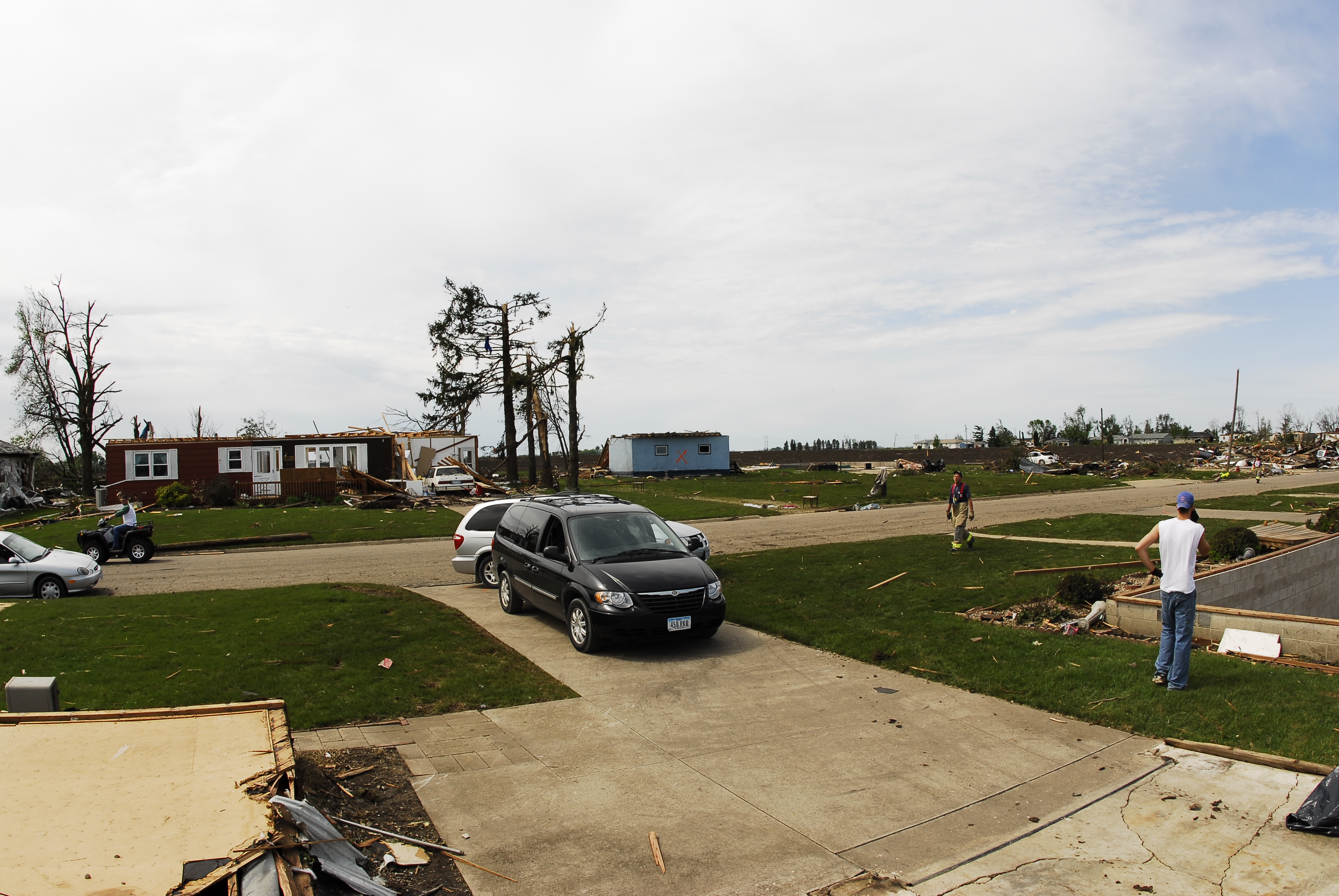
Related Photos:
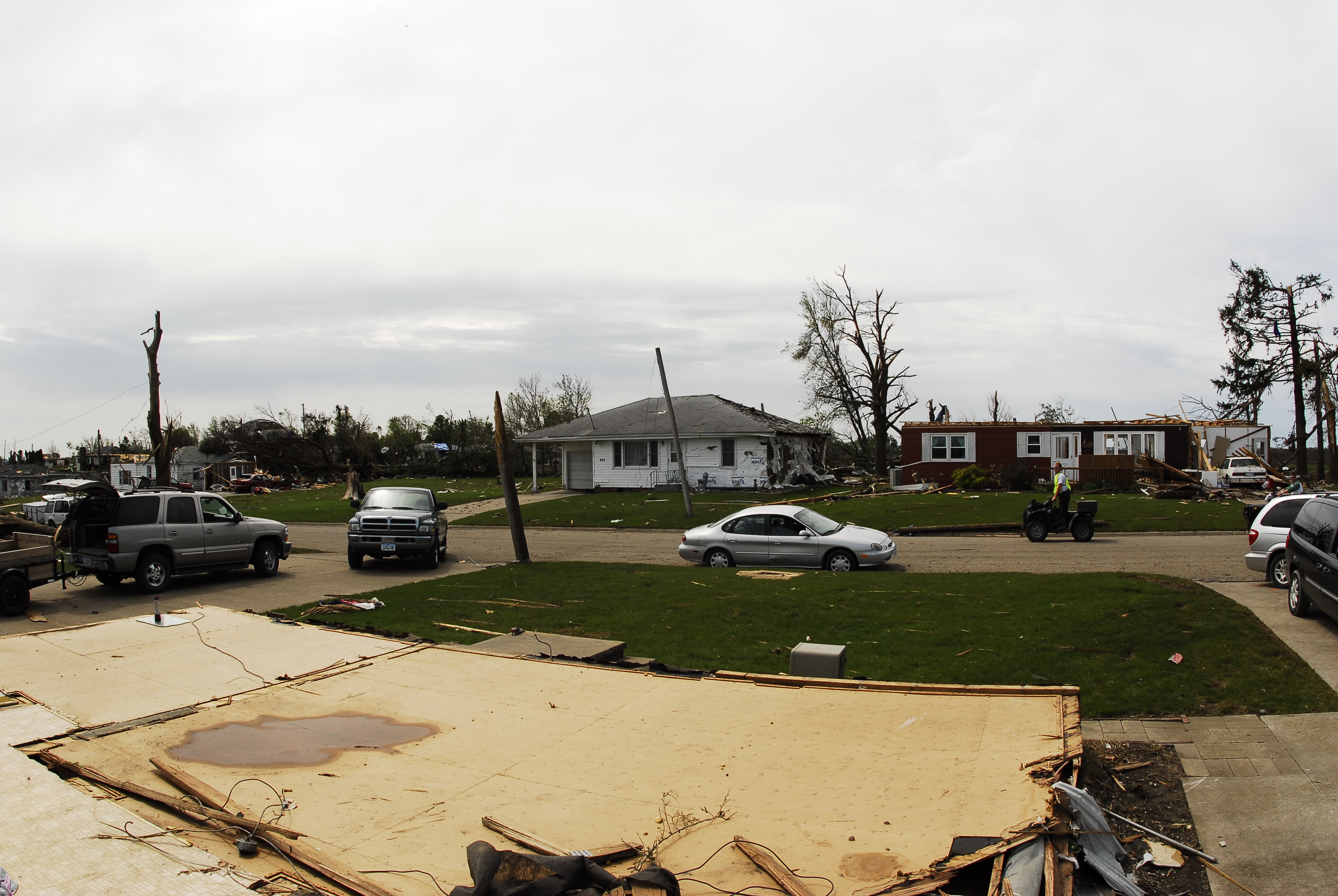
Parkersburg Tornado 71

Parkersburg Tornado 69

Parkersburg Tornado 67

Parkersburg Tornado 70
Parkersburg Tornado 66

Parkersburg Tornado 68

Sledding with cousins

Parkersburg Tornado 4

Parkersburg Tornado 88
Topographic Map of Main St, Dike, IA, USA
Find elevation by address:

Places near Main St, Dike, IA, USA:
Stout
8654 120th St
Beaver
New Hartford
29475 290th St
Beaver
4th Ave N, Holland, IA, USA
W 1st St, Cedar Falls, IA, USA
4th St, Grundy Center, IA, USA
Grundy Center
Cedar Falls
IA-14, Allison, IA, USA
Finchford Rd, Janesville, IA, USA
Union
Shell Rock
Union Rd, Cedar Falls, IA, USA
Shell Rock
S Cherry St, Shell Rock, IA, USA
th St, Janesville, IA, USA
University Of Northern Iowa
Recent Searches:
- Elevation of Rojo Ct, Atascadero, CA, USA
- Elevation of Flagstaff Drive, Flagstaff Dr, North Carolina, USA
- Elevation of Avery Ln, Lakeland, FL, USA
- Elevation of Woolwine, VA, USA
- Elevation of Lumagwas Diversified Farmers Multi-Purpose Cooperative, Lumagwas, Adtuyon, RV32+MH7, Pangantucan, Bukidnon, Philippines
- Elevation of Homestead Ridge, New Braunfels, TX, USA
- Elevation of Orchard Road, Orchard Rd, Marlborough, NY, USA
- Elevation of 12 Hutchinson Woods Dr, Fletcher, NC, USA
- Elevation of Holloway Ave, San Francisco, CA, USA
- Elevation of Norfolk, NY, USA