Elevation of S Main St, Traer, IA, USA
Location: United States > Iowa >
Longitude: -92.465189
Latitude: 42.1918655
Elevation: 281m / 922feet
Barometric Pressure: 98KPa
Elevation Map:
Satellite Map:
Related Photos:

Traer Iowa, Tama County IA

Joe and Amy
Main Street, Dysart, Iowa

Iowa 2014
Iowa 2014

Iowa 2014
Peregrine Falcon ©
Reinbeck Iowa, Grundy County IA
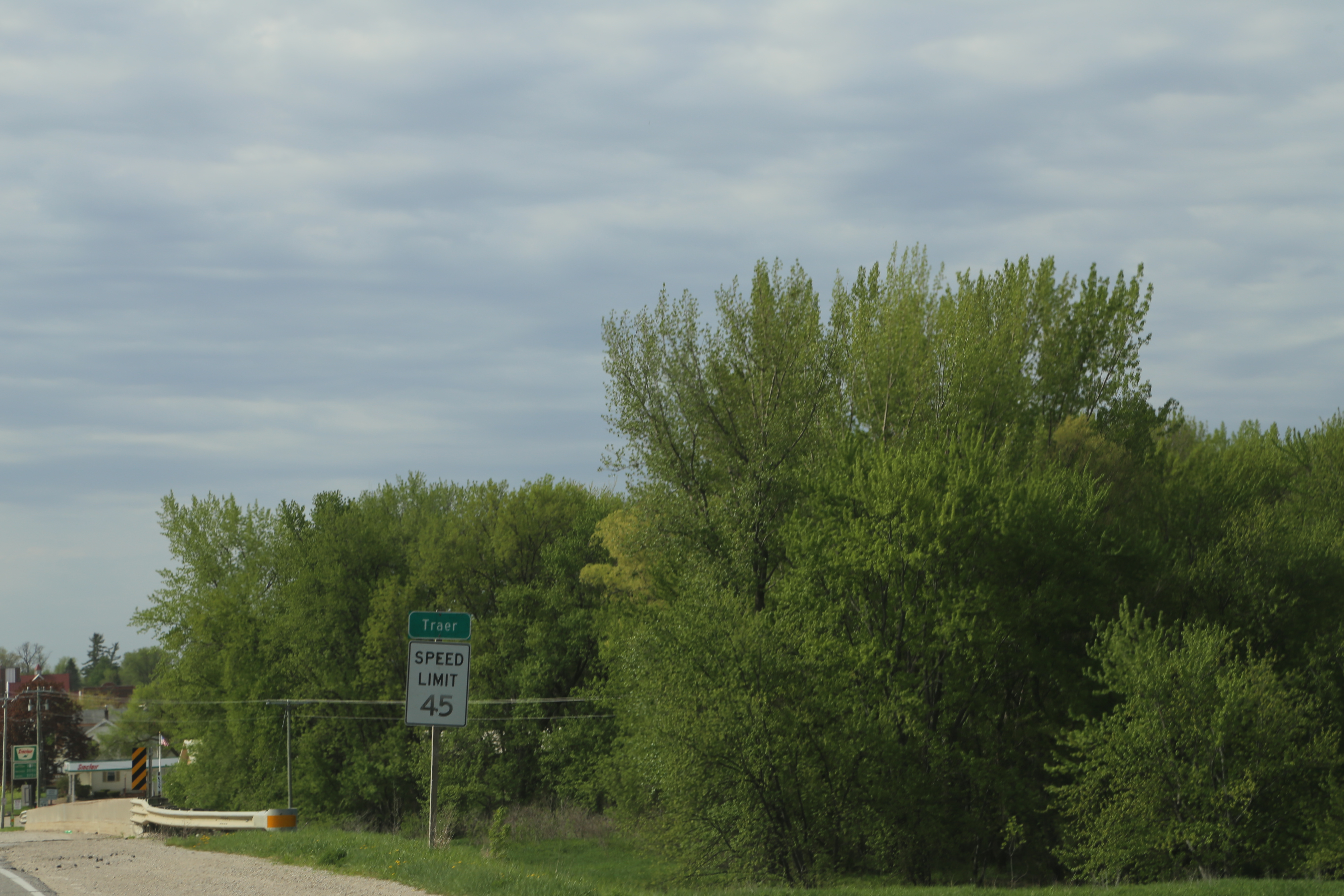
Traer Iowa, Tama County IA

Traer, Iowa, Bridge

2016-04-04_10-53-01
Traer, Iowa

branch, glass

roadside memorial

Iowa 2014

Iowa 2014
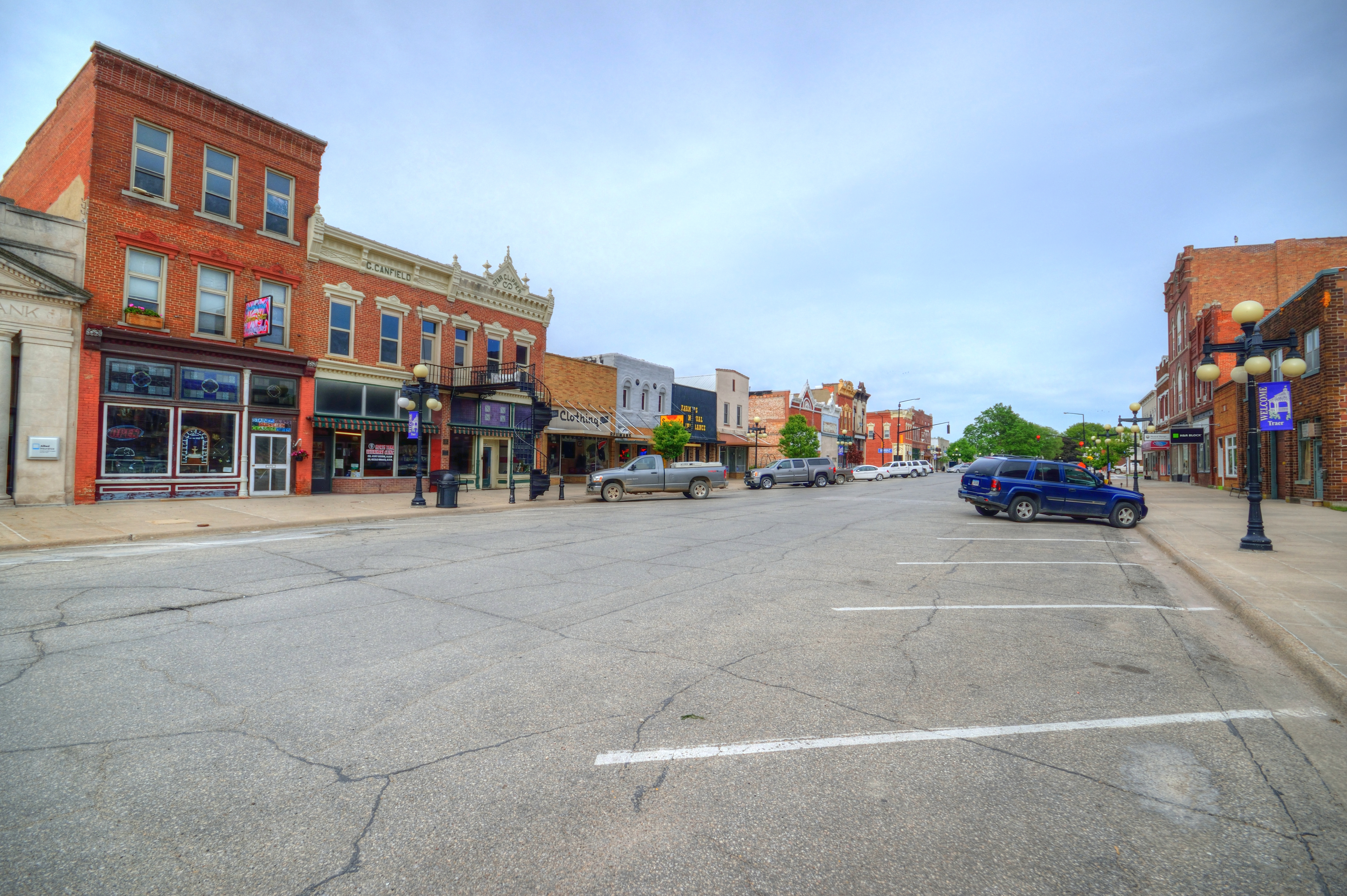
Traer Iowa, Tama County IA
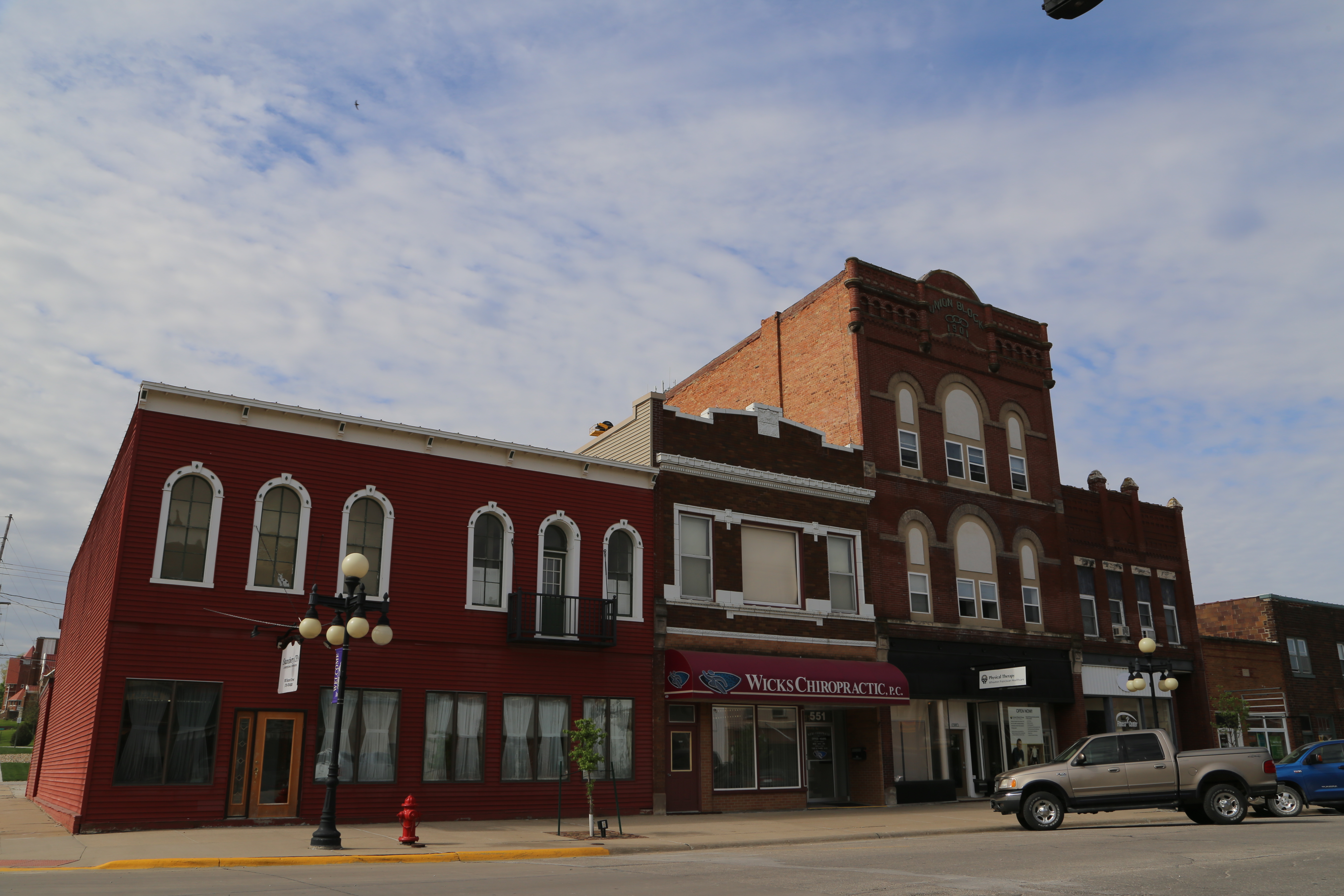
Traer Iowa, Tama County IA

Traer Iowa, Tama County IA

Traer Iowa, Tama County IA

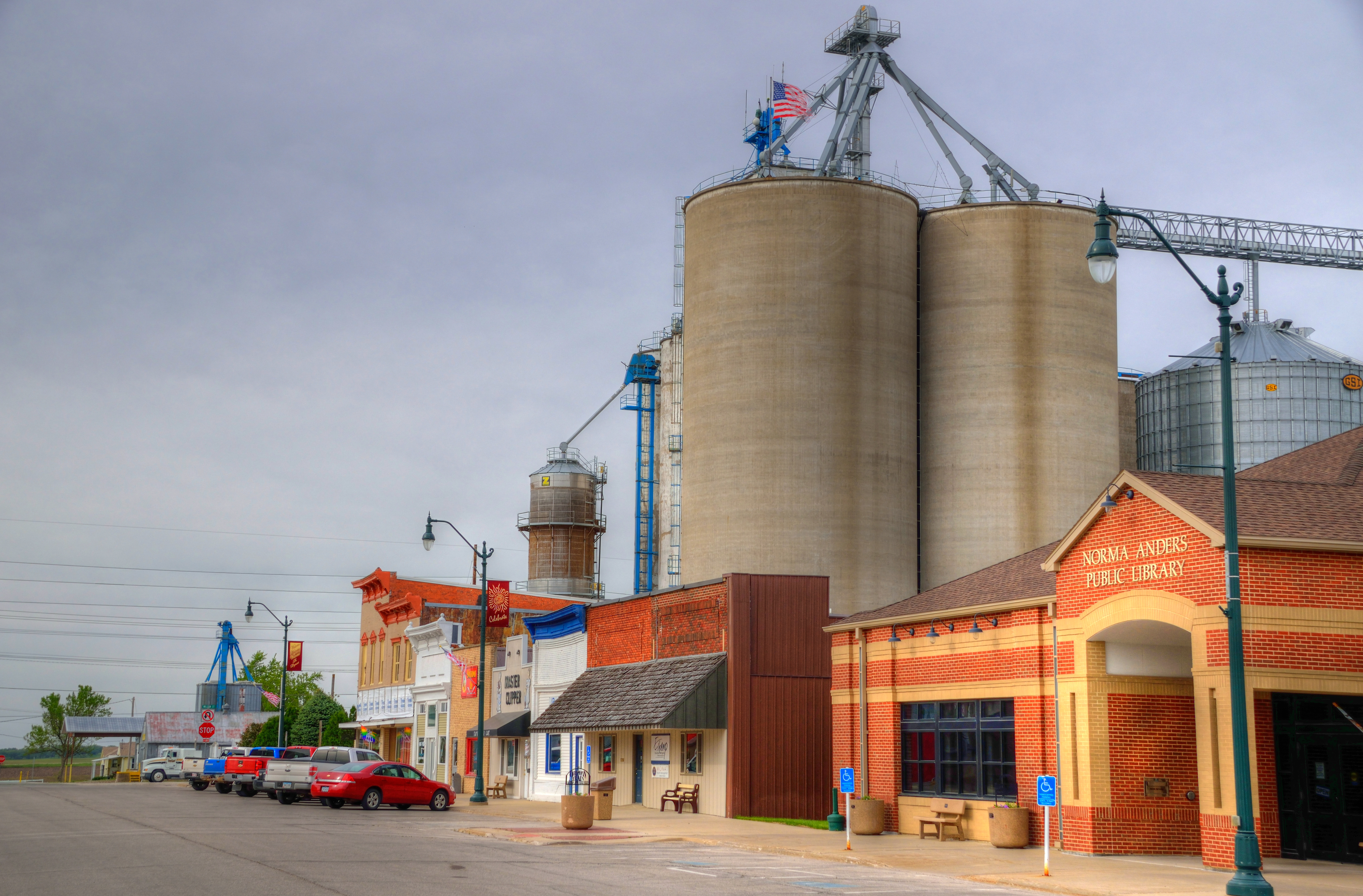
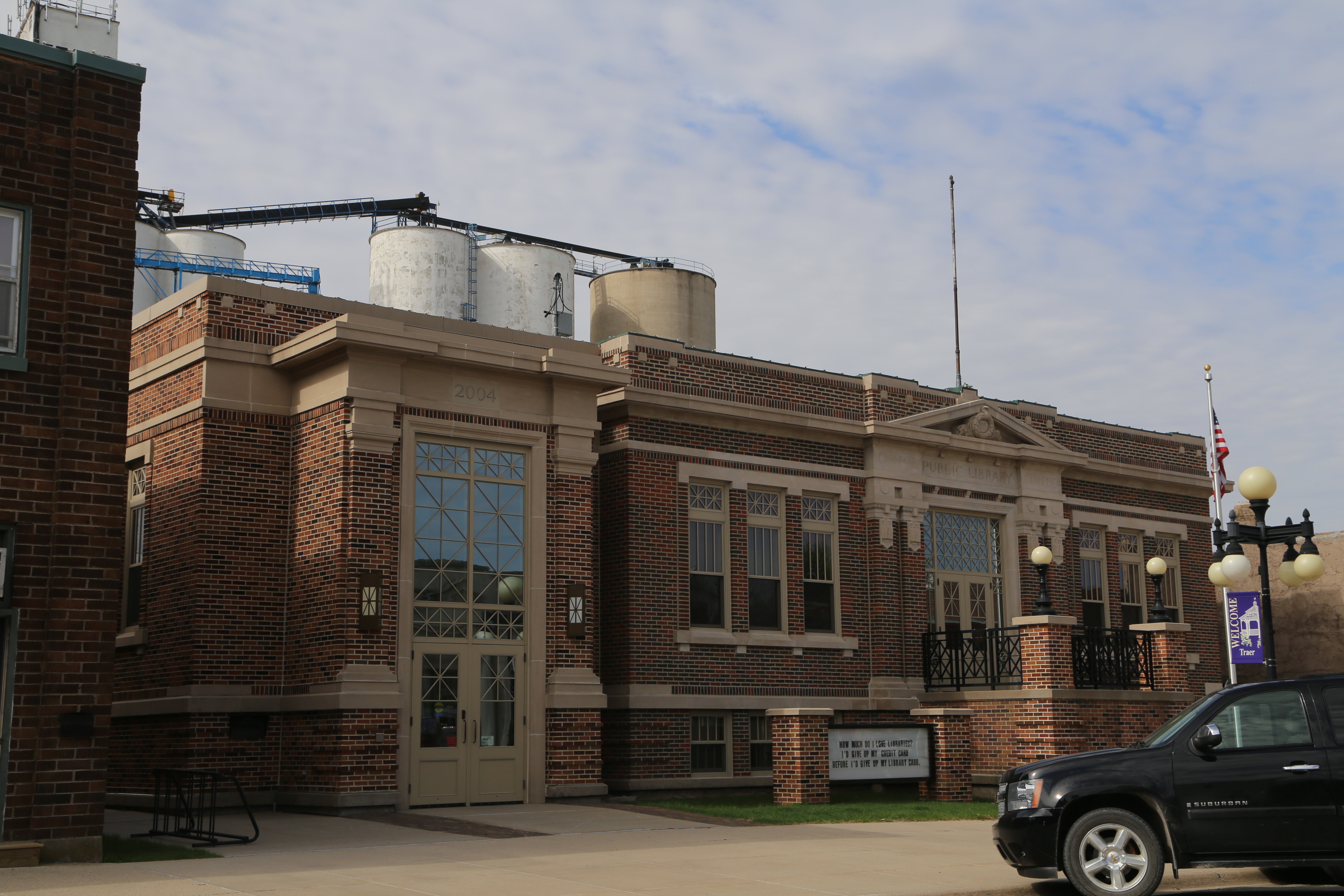
Traer Iowa, Grain Elevator, Tama County IA
Topographic Map of S Main St, Traer, IA, USA
Find elevation by address:

Places near S Main St, Traer, IA, USA:
L Ave, Reinbeck, IA, USA
Voorhies
Voorhies
Voorhies
Main St, Voorhies, IA, USA
12335 Holmes Rd
1321 W Eagle Rd
Eagle
9818 Beck Rd
1235 E Eagle Rd
1675 F Avenue
1521 F Avenue
210 Celeste St
5th St, Hudson, IA, USA
Hudson
8821 Kimball Ave
3128 E Eagle Rd
8521 Kimball Ave
8100 Kimball Ave
Black Hawk
Recent Searches:
- Elevation of Spaceport America, Co Rd A, Truth or Consequences, NM, USA
- Elevation of Warwick, RI, USA
- Elevation of Fern Rd, Whitmore, CA, USA
- Elevation of 62 Abbey St, Marshfield, MA, USA
- Elevation of Fernwood, Bradenton, FL, USA
- Elevation of Felindre, Swansea SA5 7LU, UK
- Elevation of Leyte Industrial Development Estate, Isabel, Leyte, Philippines
- Elevation of W Granada St, Tampa, FL, USA
- Elevation of Pykes Down, Ivybridge PL21 0BY, UK
- Elevation of Jalan Senandin, Lutong, Miri, Sarawak, Malaysia