Elevation of Liberty Township, AR, USA
Location: United States > Arkansas > Independence County >
Longitude: -91.734415
Latitude: 35.5752451
Elevation: 206m / 676feet
Barometric Pressure: 99KPa
Elevation Map:
Satellite Map:
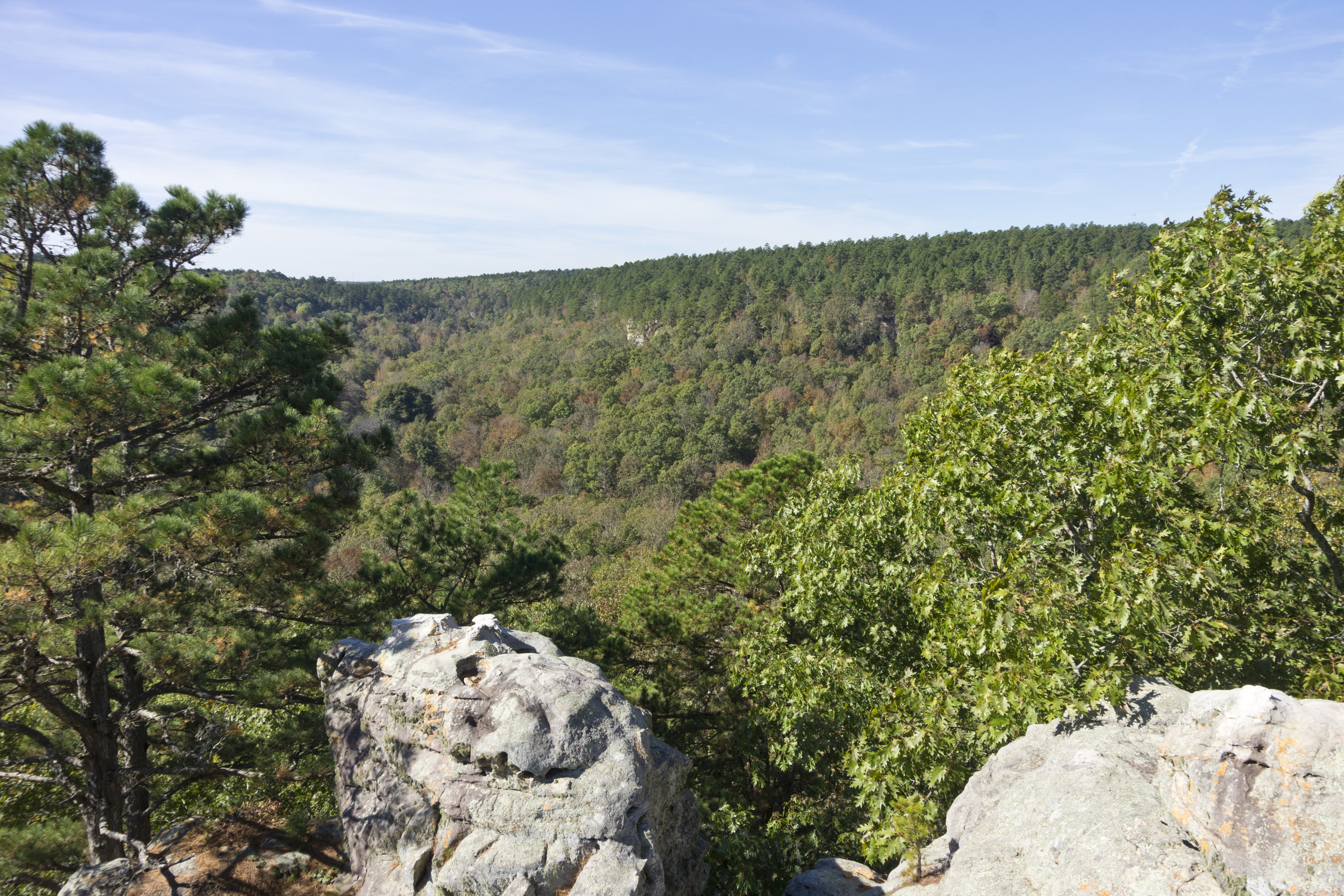
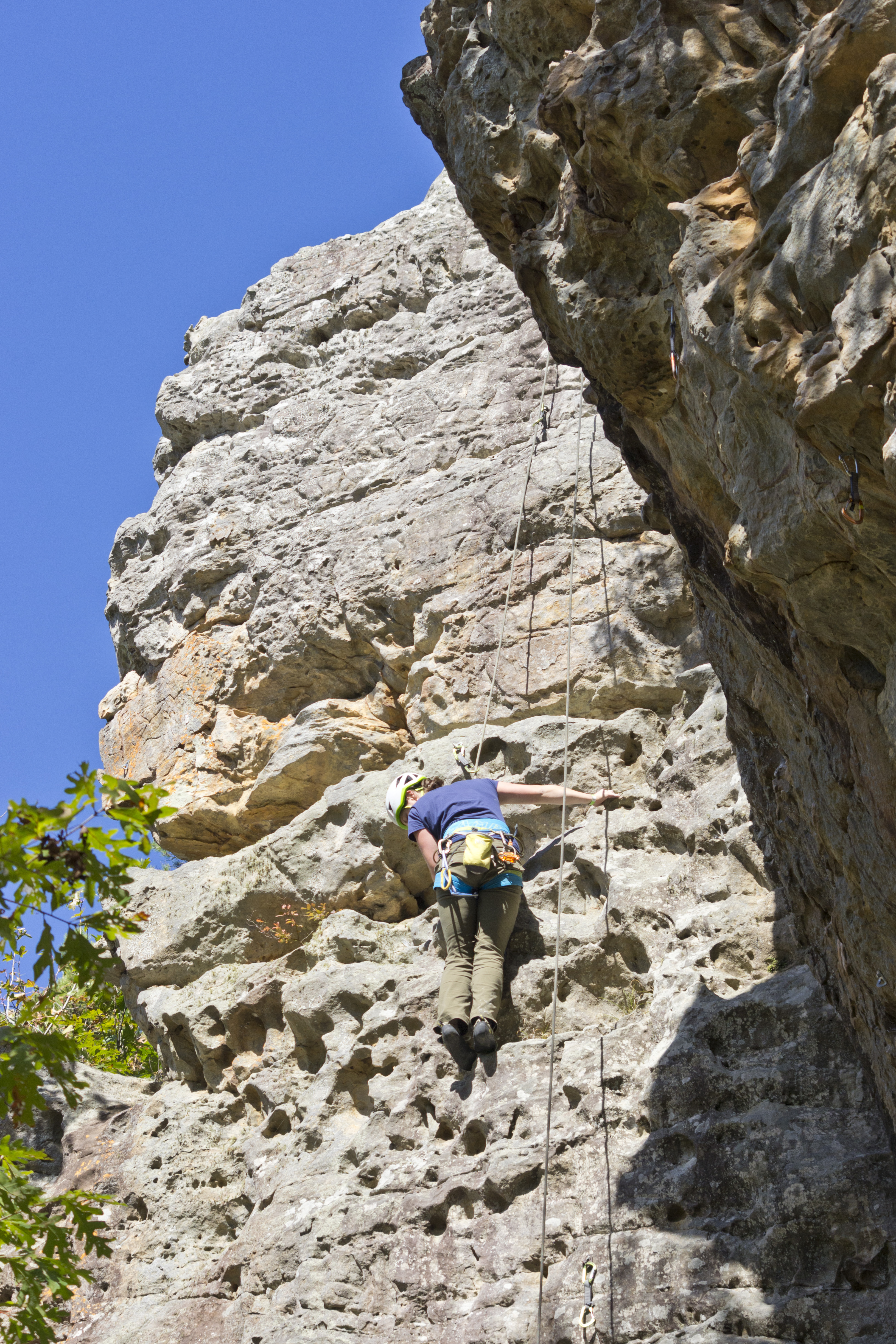
Related Photos:
IMG_4612
IMG_4604
IMG_4599
A lonely stream of water
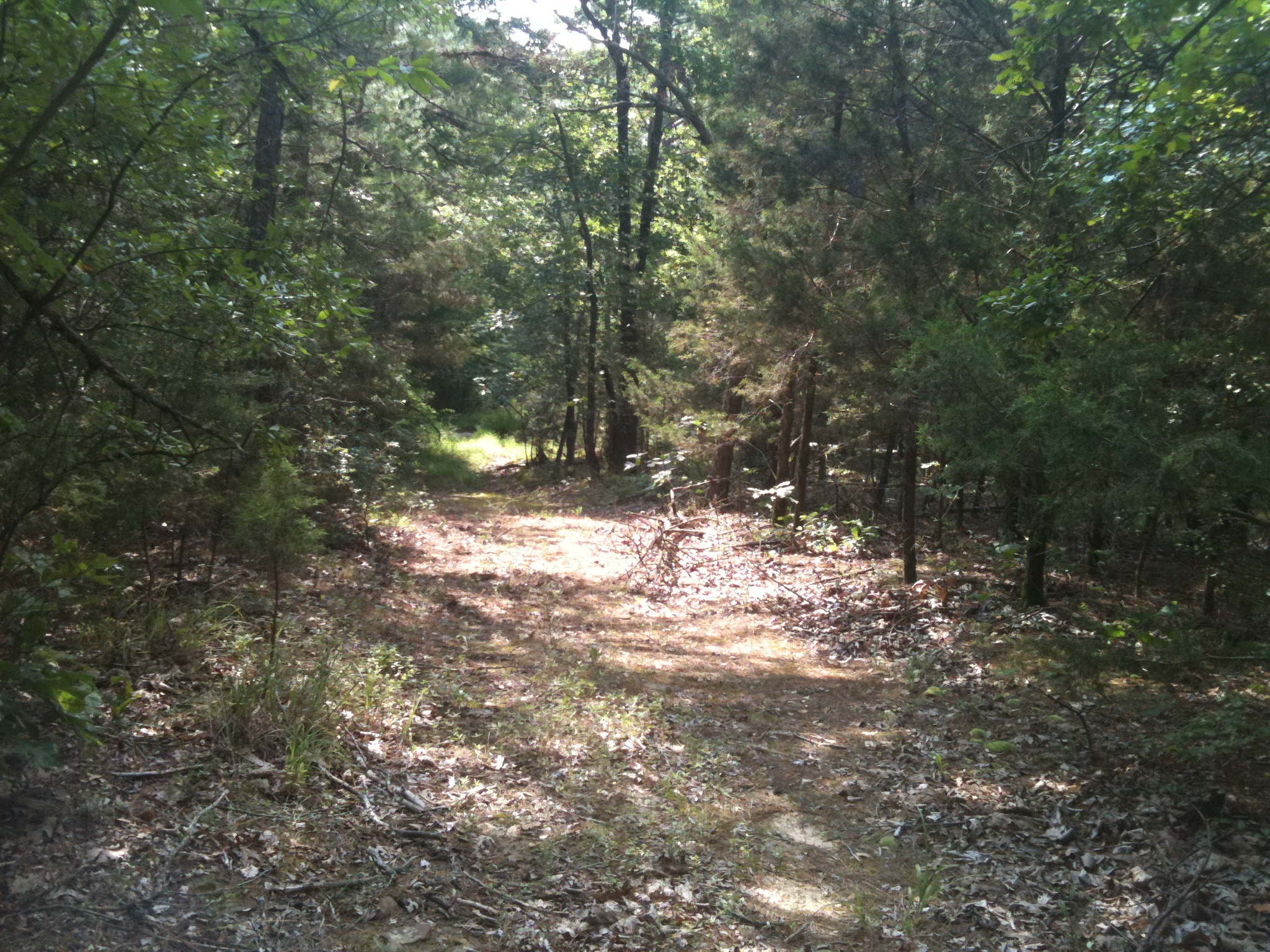
Peaceful Path
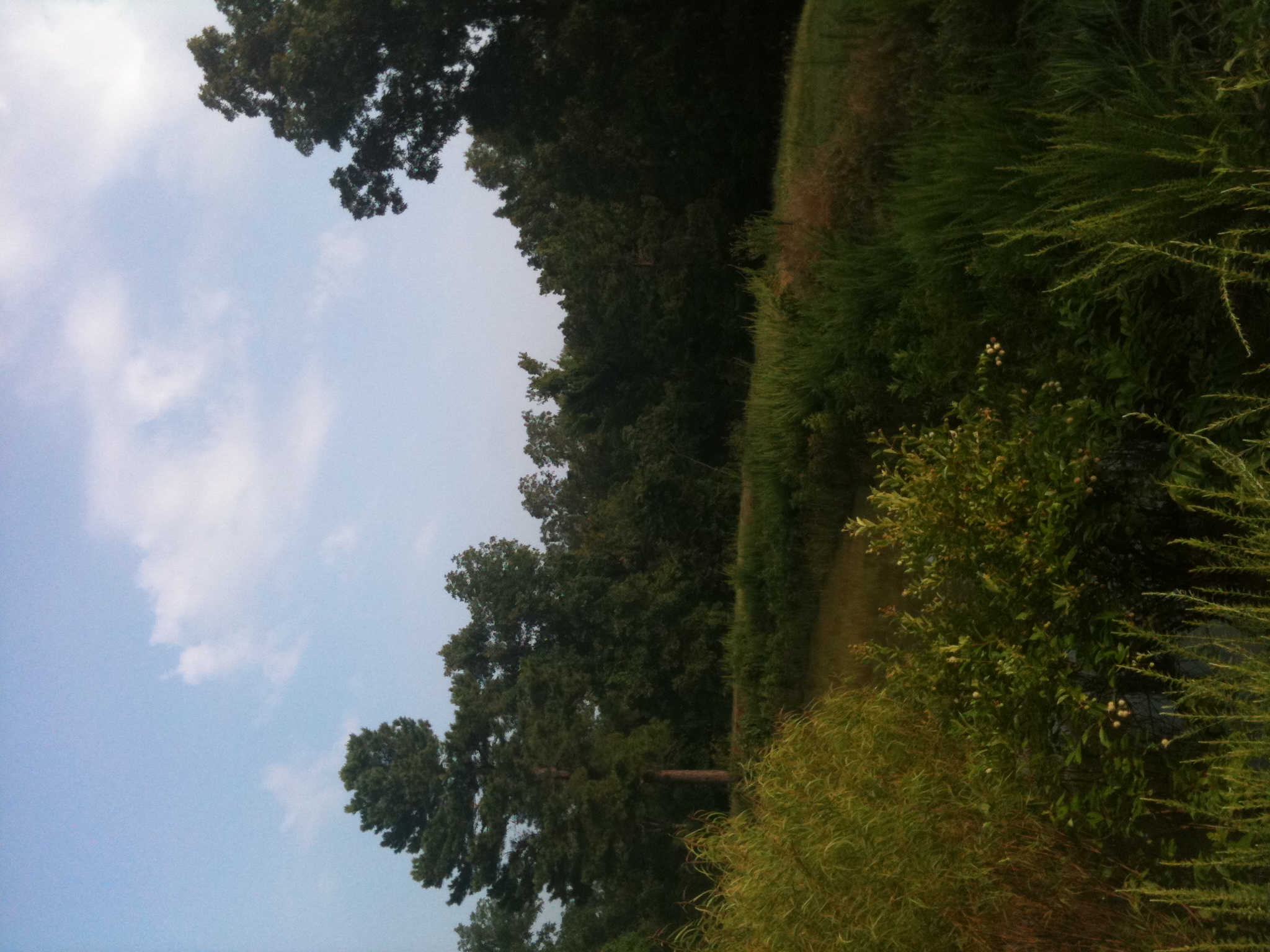
Country Paradise
IMG_0185.JPG
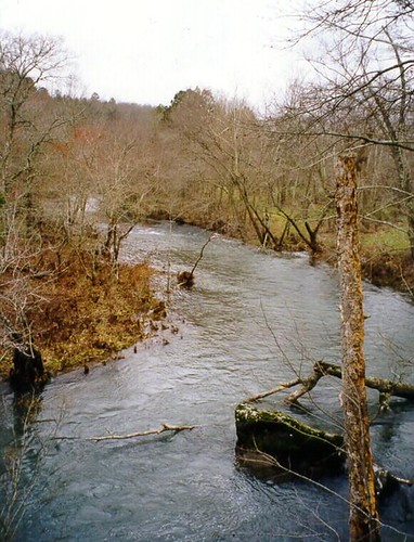
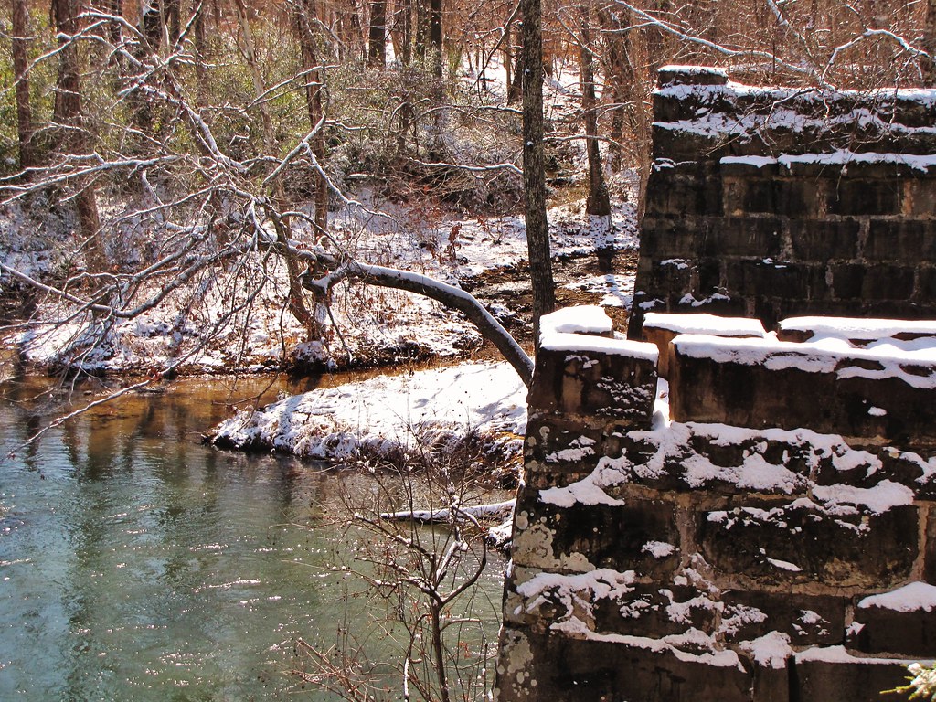
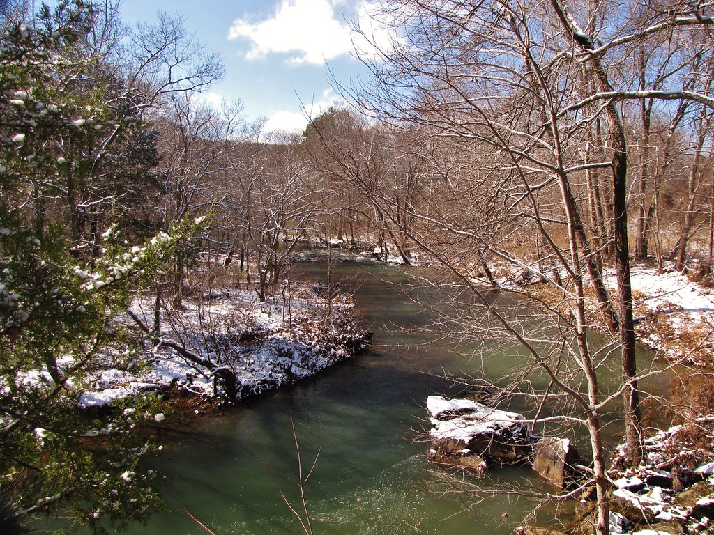
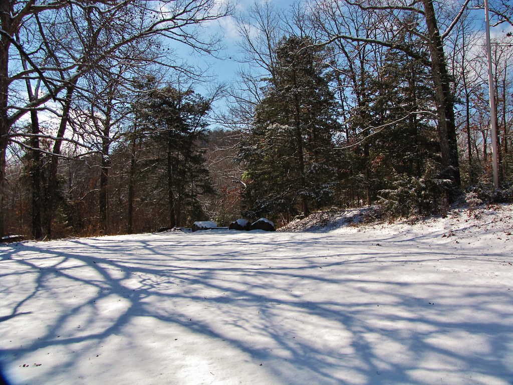
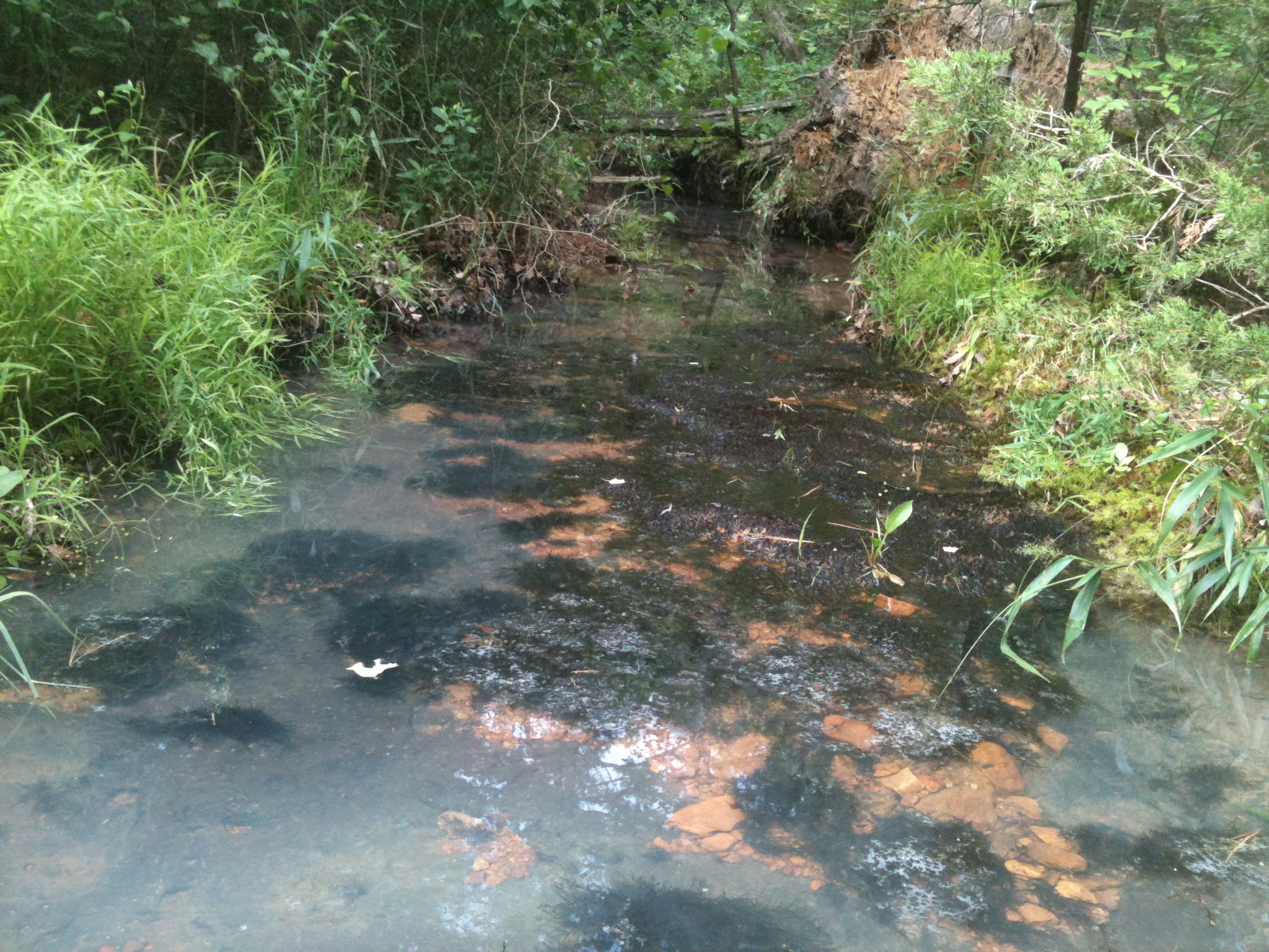
Salado Creek (North Central Arkansas)

ORNG6851

ORNG6784

ORNG6840

ORNG6849
DJT_6963
DJT_6984
DJT_6999

DJT_7001
DJT_7097

ORNG6772

ORNG6775

ORNG6778

ORNG6788

ORNG6797

ORNG6803

ORNG6805
ORNG6800

ORNG6781

ORNG6794

ORNG6817

ORNG6847
Topographic Map of Liberty Township, AR, USA
Find elevation by address:

Places in Liberty Township, AR, USA:
Places near Liberty Township, AR, USA:
Floral
30 Old Union Rd
215 Oak Tree Dr
Fairview Township
AR-, Judsonia, AR, USA
Hickory Flat Rd, Pangburn, AR, USA
106 Floral Rd
100 Floral Rd
Pleasant Plains
Greenbrier Township
Woodsman Trail, Batesville, AR, USA
Denmark Township
Batesville Blvd, Pleasant Plains, AR, USA
Big Creek Township
50 Chastain Rd
Desha
Heber Springs Rd, Desha, AR, USA
Old Hwy, Bradford, AR, USA
Pangburn
Main St, Pangburn, AR, USA
Recent Searches:
- Elevation of Groblershoop, South Africa
- Elevation of Power Generation Enterprises | Industrial Diesel Generators, Oak Ave, Canyon Country, CA, USA
- Elevation of Chesaw Rd, Oroville, WA, USA
- Elevation of N, Mt Pleasant, UT, USA
- Elevation of 6 Rue Jules Ferry, Beausoleil, France
- Elevation of Sattva Horizon, 4JC6+G9P, Vinayak Nagar, Kattigenahalli, Bengaluru, Karnataka, India
- Elevation of Great Brook Sports, Gold Star Hwy, Groton, CT, USA
- Elevation of 10 Mountain Laurels Dr, Nashua, NH, USA
- Elevation of 16 Gilboa Ln, Nashua, NH, USA
- Elevation of Laurel Rd, Townsend, TN, USA