Elevation of Batesville Blvd, Pleasant Plains, AR, USA
Location: United States > Arkansas > White County > Denmark Township >
Longitude: -91.600763
Latitude: 35.51695
Elevation: 181m / 594feet
Barometric Pressure: 99KPa
Elevation Map:
Satellite Map:
Related Photos:
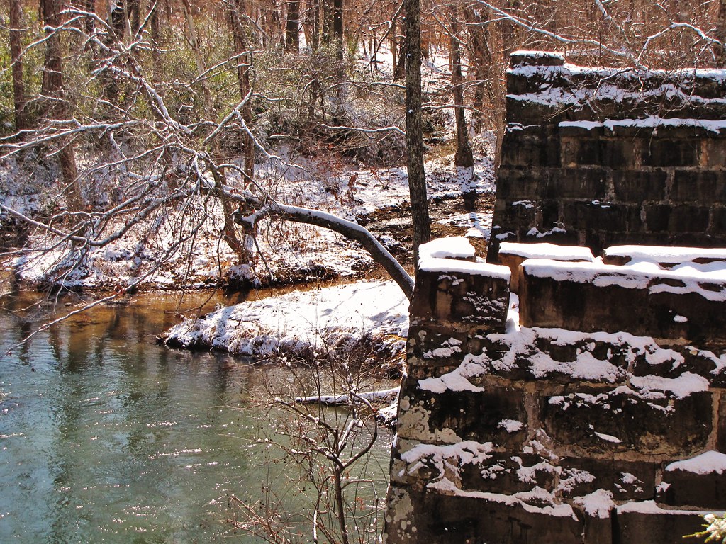
IMG_4612
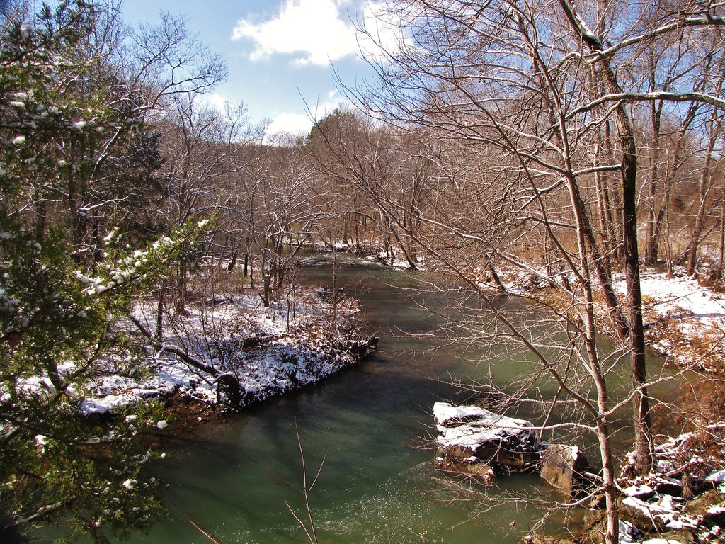
IMG_4604
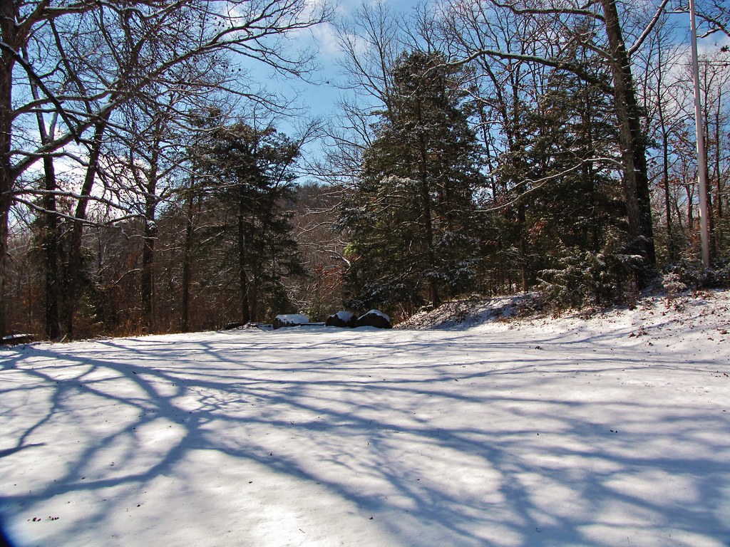
IMG_4599

Price?, Ted
Salado Creek (North Central Arkansas)

Bailey, William Harold
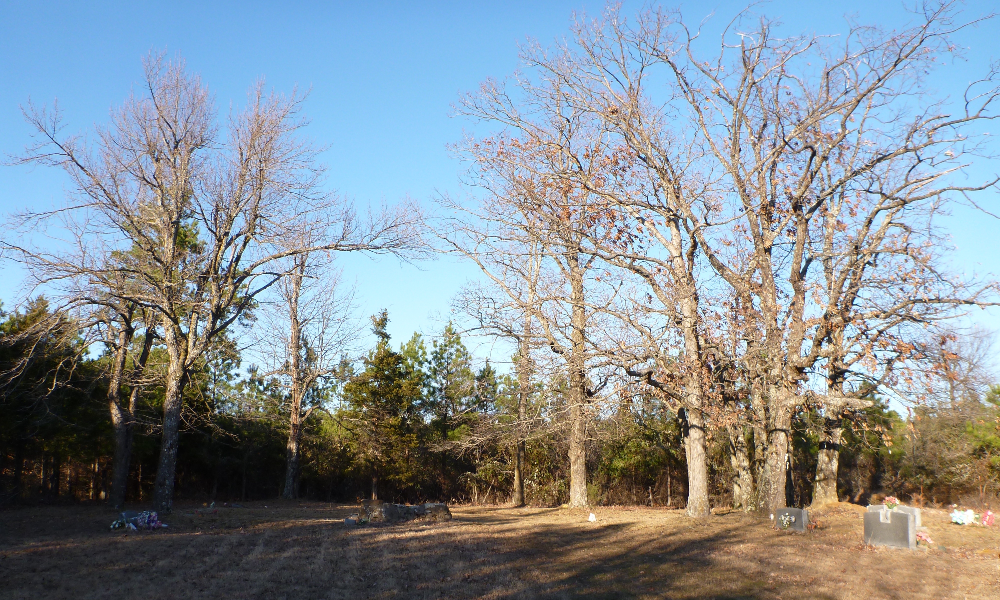
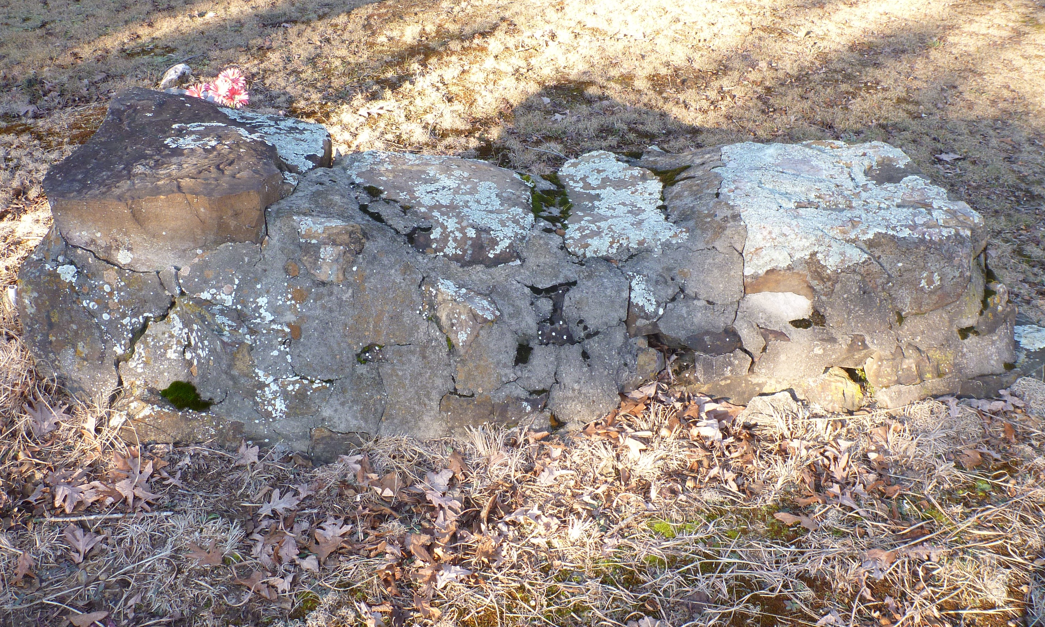
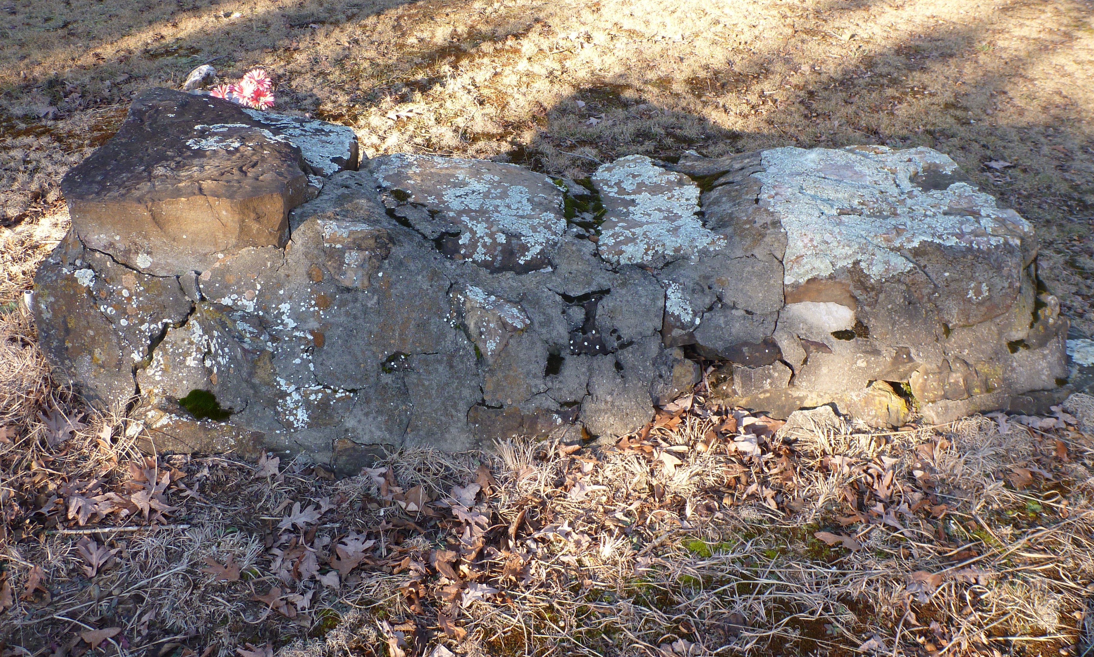
Price Cemetery
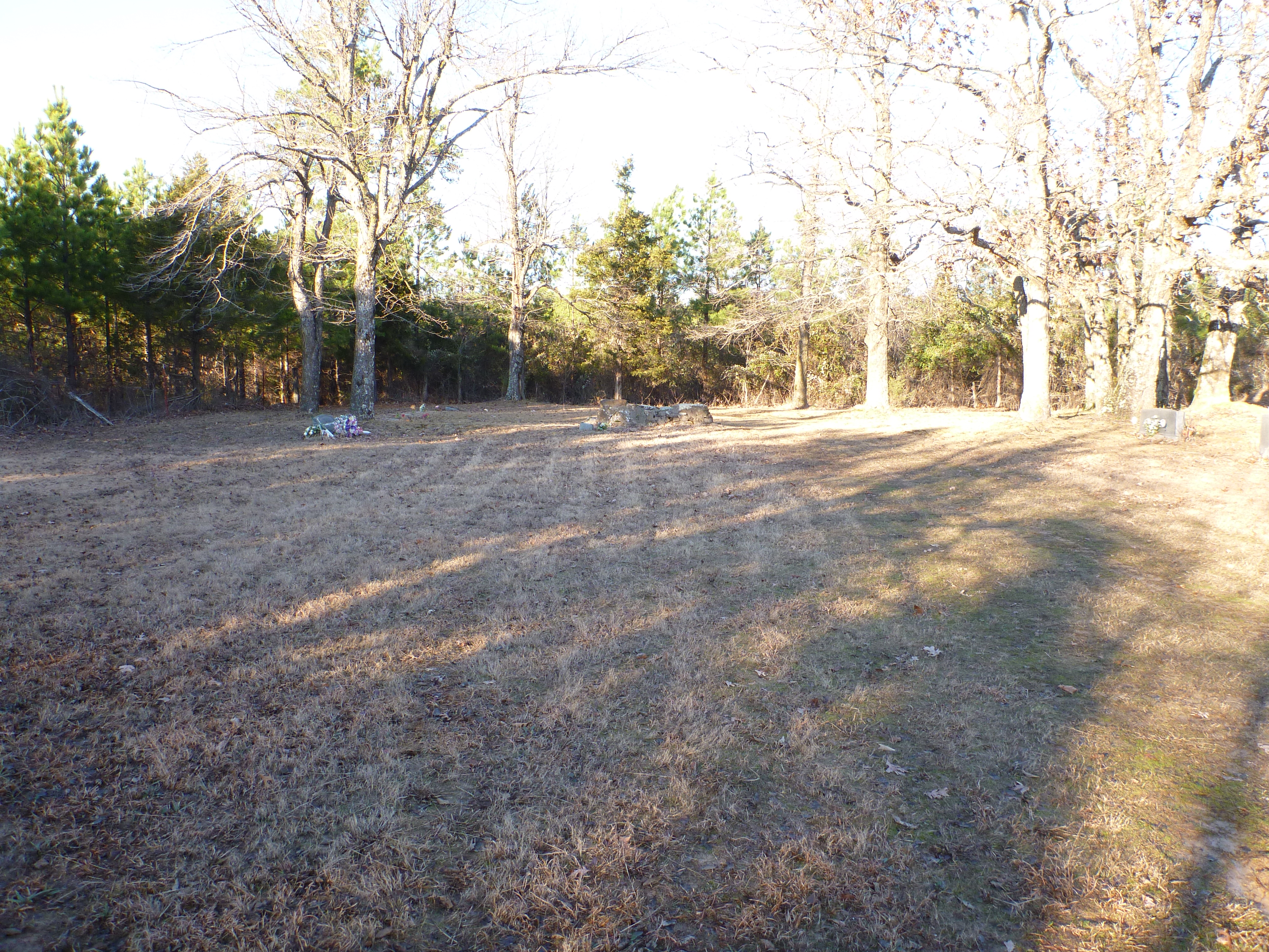
Price Cemetery
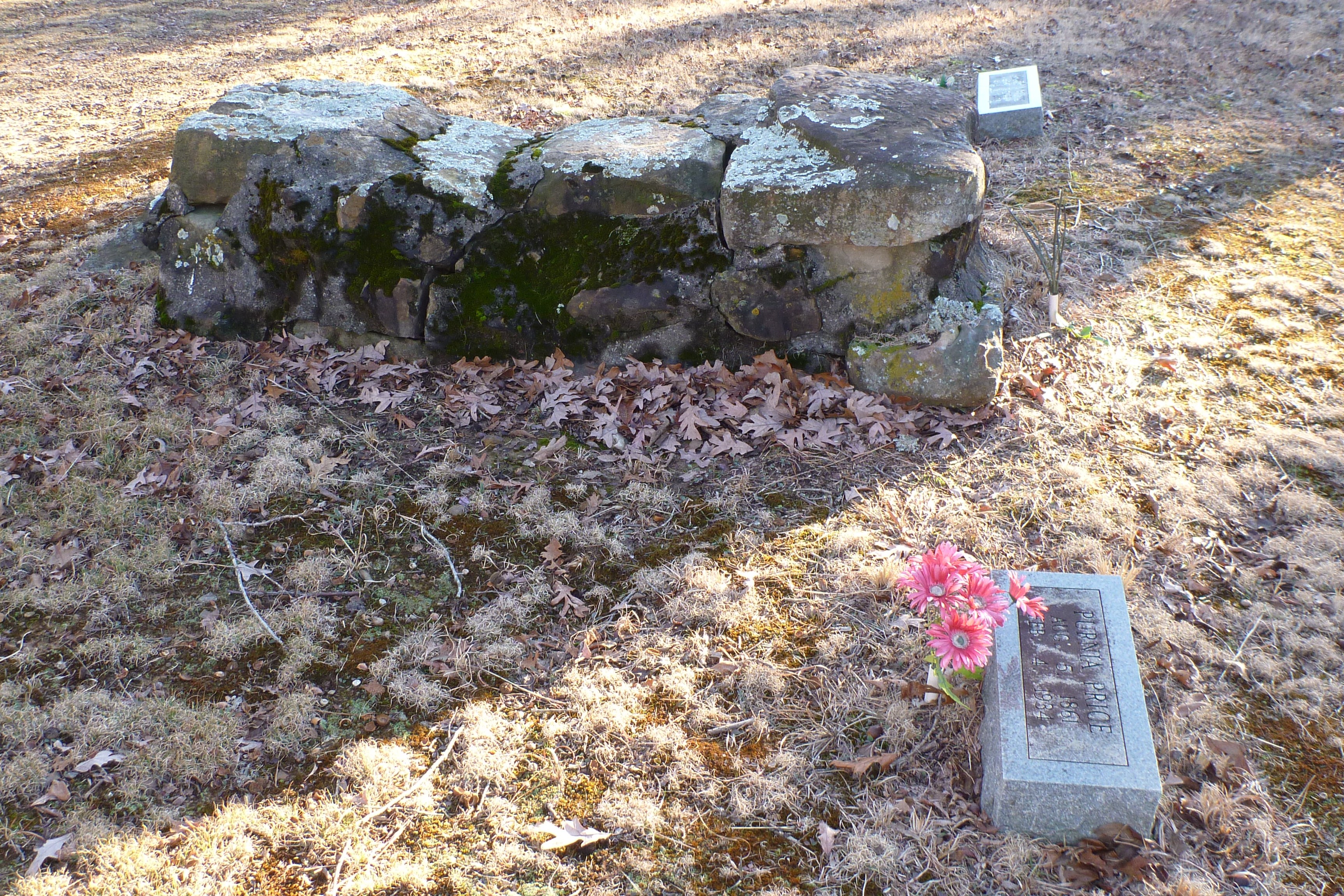
Price?, Ted
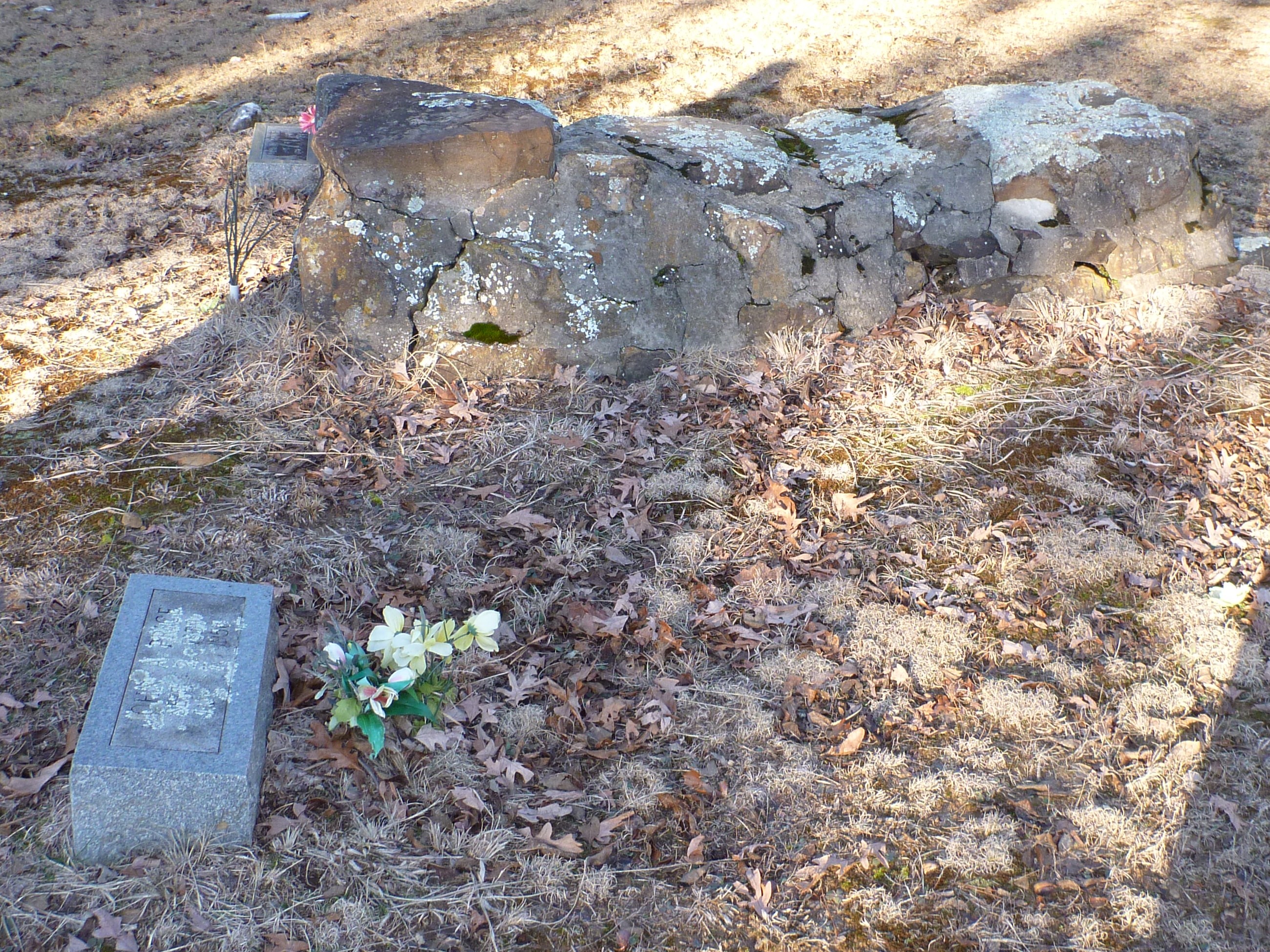
Price?, Ted
Price?, Ted
Price?, Ted
Topographic Map of Batesville Blvd, Pleasant Plains, AR, USA
Find elevation by address:

Places near Batesville Blvd, Pleasant Plains, AR, USA:
Denmark Township
Old Hwy, Bradford, AR, USA
Pleasant Plains
100 Floral Rd
106 Floral Rd
Barren Township
AR-, Judsonia, AR, USA
610 Jackson 1290
Fairview Township
3230 Union Hill Rd
Union Hill Rd, Bradford, AR, USA
3230 Union Hill Rd
Hill Township
US-, Bald Knob, AR, USA
Velvet Ridge
Velvet Ridge Township
Woodsman Trail, Batesville, AR, USA
190 Russell Mountain Rd
Liberty Township
Honeysuckle Rd, Bald Knob, AR, USA
Recent Searches:
- Elevation of Corso Fratelli Cairoli, 35, Macerata MC, Italy
- Elevation of Tallevast Rd, Sarasota, FL, USA
- Elevation of 4th St E, Sonoma, CA, USA
- Elevation of Black Hollow Rd, Pennsdale, PA, USA
- Elevation of Oakland Ave, Williamsport, PA, USA
- Elevation of Pedrógão Grande, Portugal
- Elevation of Klee Dr, Martinsburg, WV, USA
- Elevation of Via Roma, Pieranica CR, Italy
- Elevation of Tavkvetili Mountain, Georgia
- Elevation of Hartfords Bluff Cir, Mt Pleasant, SC, USA