Elevation of Liberty Rd, Norman, AR, USA
Location: United States > Arkansas > Montgomery County > Norman > Norman >
Longitude: -93.610969
Latitude: 34.440066
Elevation: 226m / 741feet
Barometric Pressure: 99KPa
Elevation Map:
Satellite Map:
Related Photos:

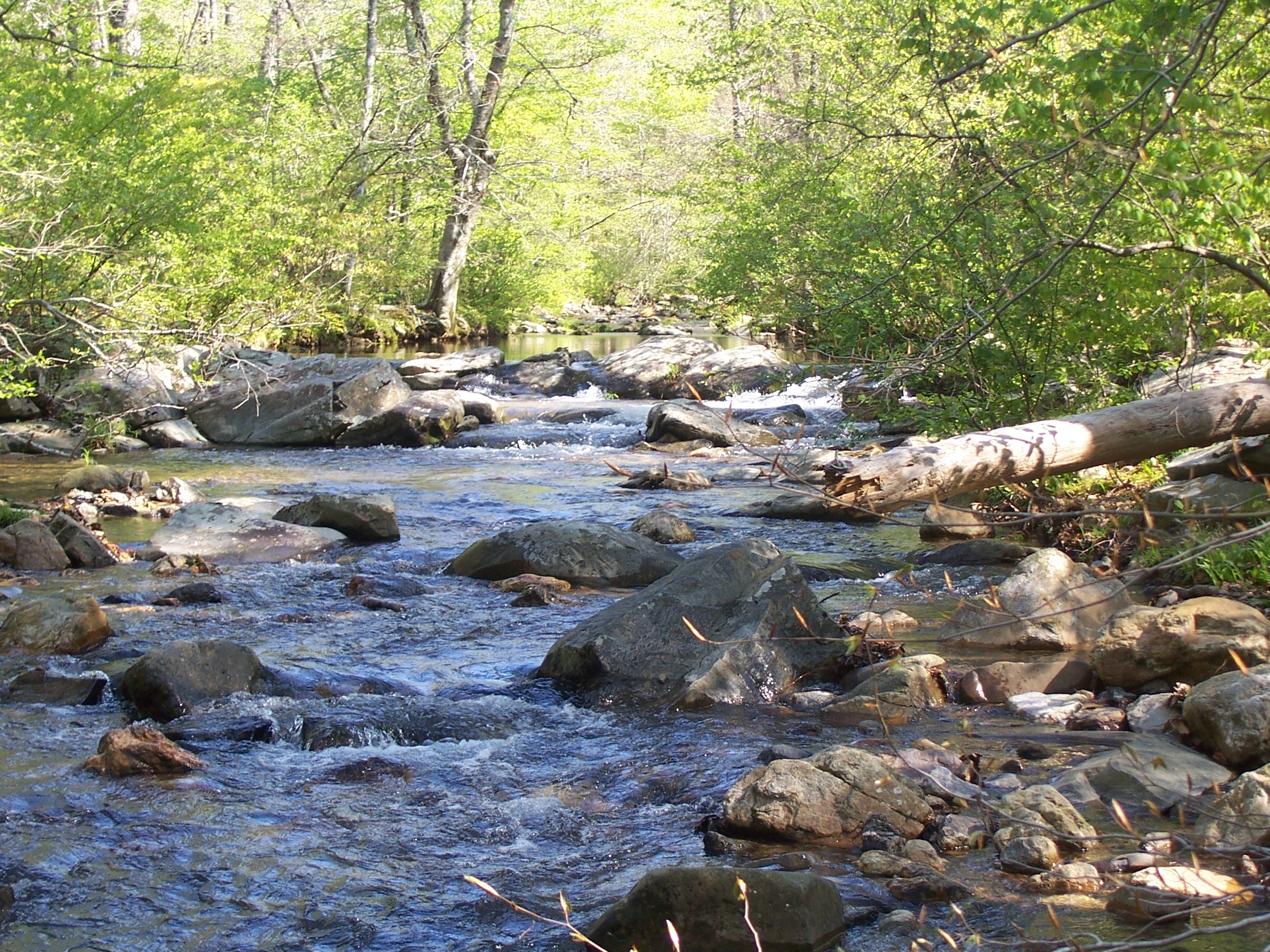
Caney Creek-Arch View

Beautiful day for golf.

#perfect day for #golf at #gwoodcc

#greens are #rolling #perfect #golfcourse is in #great shape. #goodtimes @ #GlenwoodCountryClub

#great day for #winter #golf at #gwoodcc.

#Goodtimes #golfing

Megan iPhone
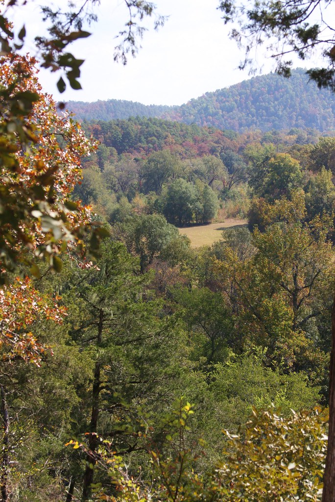
Ouachita National Forest
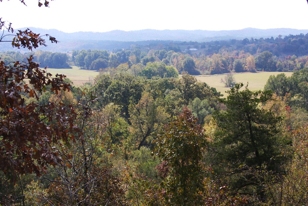
Ouachita National Forest
Ouachita Natl Forest

Another perfect day.

#gwoodcc #goodtimes @gwoodcc
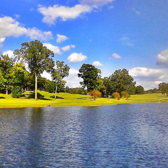
Good times playing #golf #goodtimes @#gwoodcc

#Goodtimes #golfing at #Glenwood Country Club #Perfect #playing #conditions #amazing #sunset
Topographic Map of Liberty Rd, Norman, AR, USA
Find elevation by address:

Places near Liberty Rd, Norman, AR, USA:
35 Vaught St, Caddo Gap, AR, USA
Caddo Gap
Manford Rd, Caddo Gap, AR, USA
Norman
Caddo Gap
Norman
Mt Ida, AR, USA
Owley Rd, Mt Ida, AR, USA
42 Old Rob Rd
512 Old Mt Ida Hwy
US-, Mt Ida, AR, USA
Black Springs
AR-8, Norman, AR, USA
1911 N 1st St
AR-, Caddo Gap, AR, USA
Montgomery County
1383 Polk Creek Rd
Mount Ida
Mount Ida Township
N 2nd St, Glenwood, AR, USA
Recent Searches:
- Elevation of South Yankee Meadow Road, Forest Road, Paragonah, UT, USA
- Elevation of SW Elderview Dr, Sherwood, OR, USA
- Elevation of Hickory St, Greenville, NC, USA
- Elevation of Poplar Ln, Guffey, CO, USA
- Elevation of Falling Spring Rd, Clyde, NC, USA
- Elevation of Kingsfield St, Castle Rock, CO, USA
- Elevation of AMELIA CT HSE, VA, USA
- Elevation of Abbey Dr, Virginia Beach, VA, USA
- Elevation of Brooks Lp, Spearfish, SD, USA
- Elevation of Panther Dr, Maggie Valley, NC, USA