Elevation of Lewis Rd, Lewis, IA, USA
Location: United States > Iowa > Cass County > Cass > Lewis >
Longitude: -95.0848341
Latitude: 41.3025201
Elevation: 364m / 1194feet
Barometric Pressure: 0KPa
Related Photos:
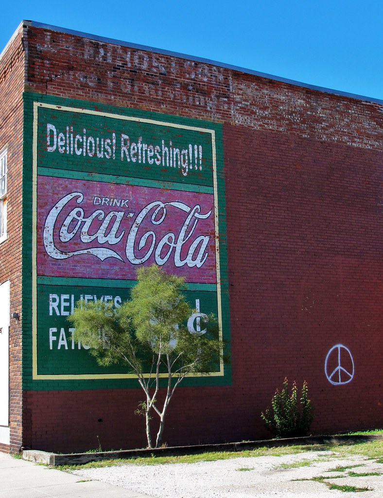
Coca-Cola Relieves Fatigue
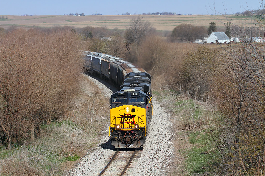
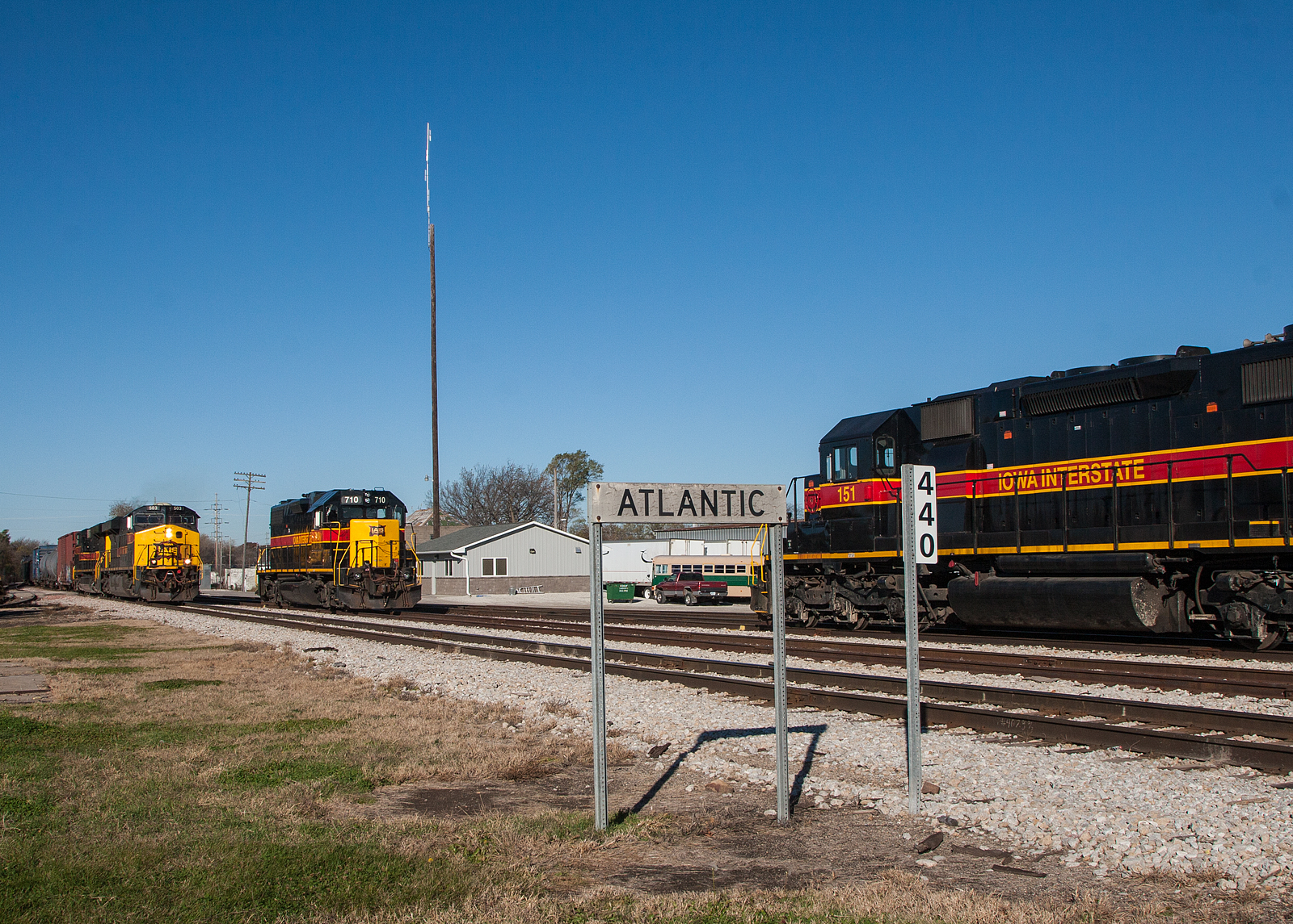
Leaving Atlantic in its wake

Christmas Tree
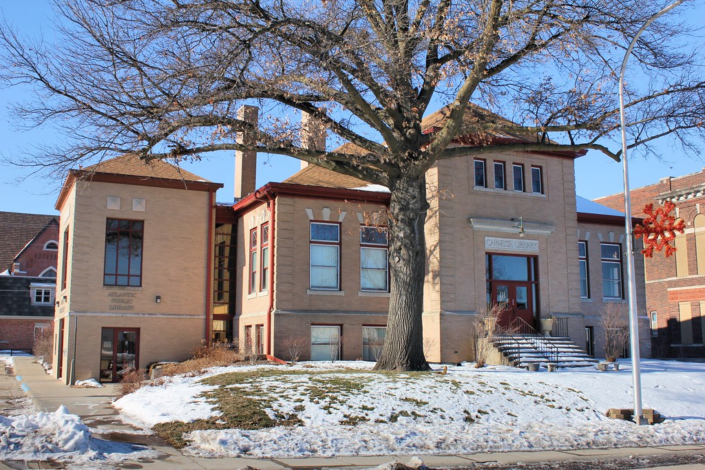
Carnegie Library - Atlantic, IA
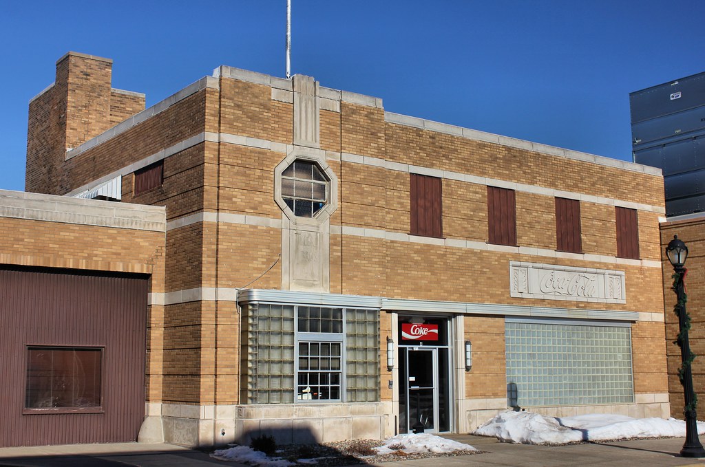
Atlantic Bottling Co. - Atlantic, IA
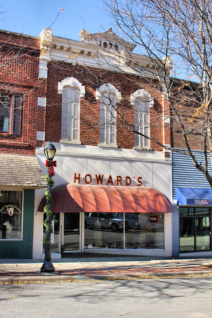
1879 Building - Atlantic, IA
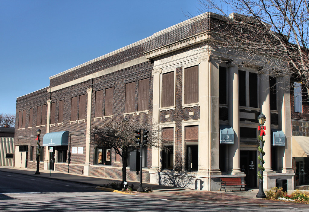
Farmers Savings Bank Building - Atlantic, IA
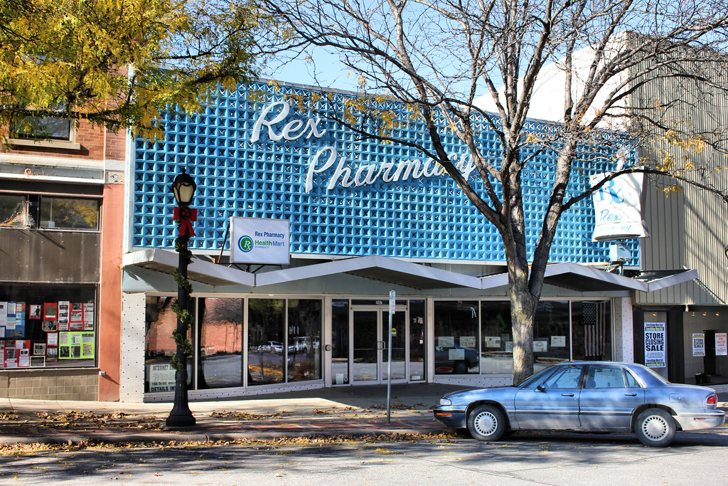
Rex Pharmacy - Atlantic, IA
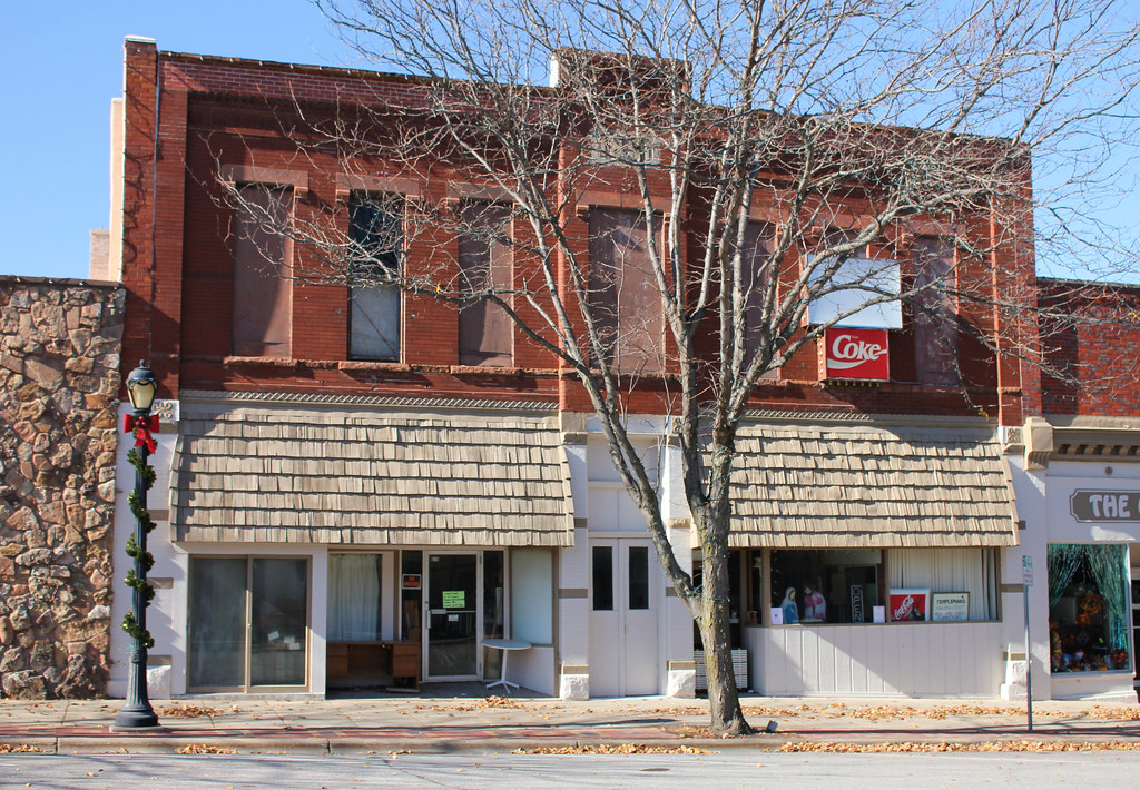
1891 Building - Atlantic, IA
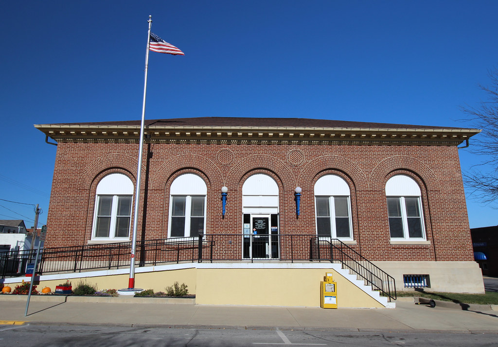
Post Office - Atlantic, IA
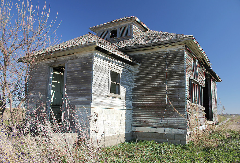
College Corners School - rural Atlantic, IA

College Corners School - rural Atlantic, IA
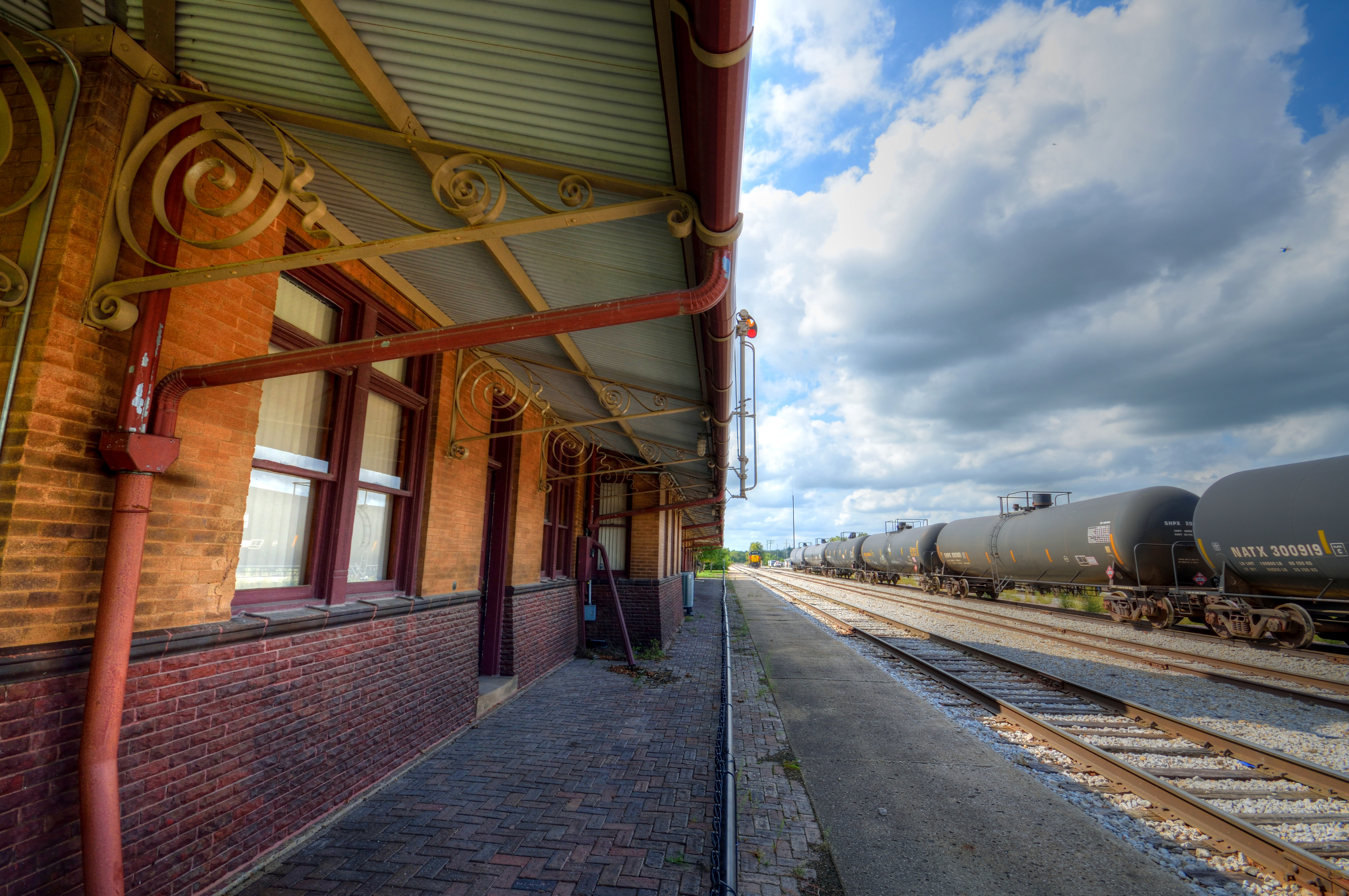
Atlantic Train Station
CBBI and the Rover
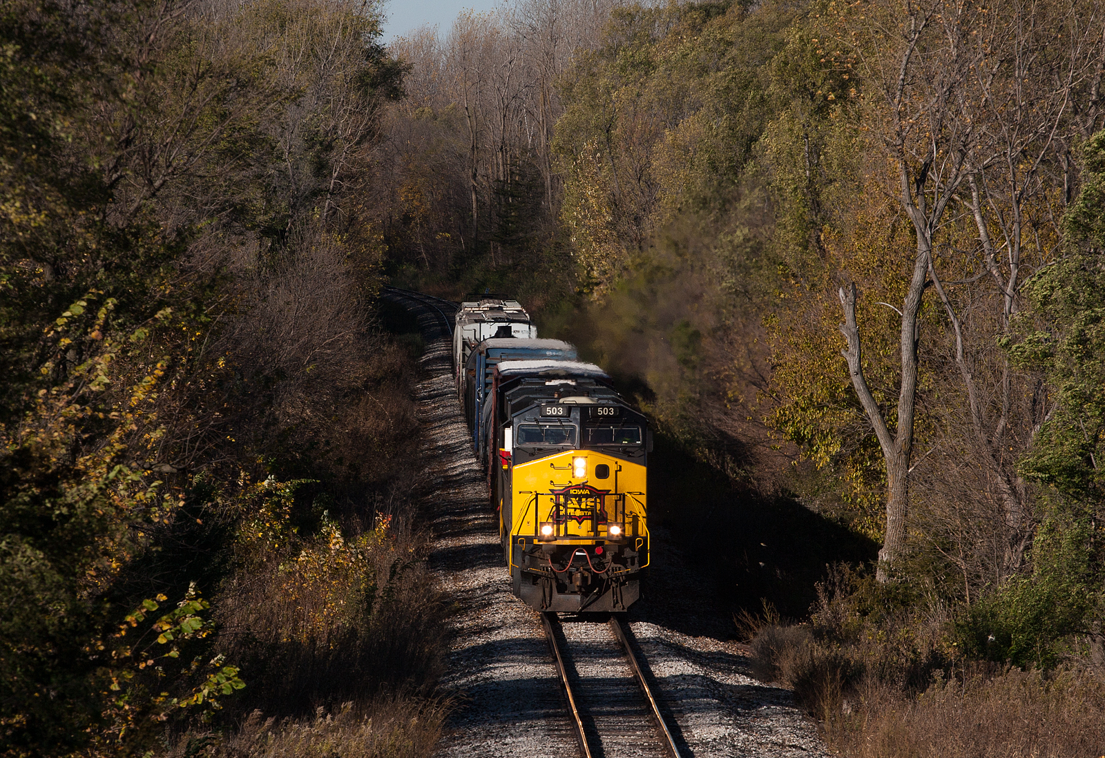
Tree Tunnels
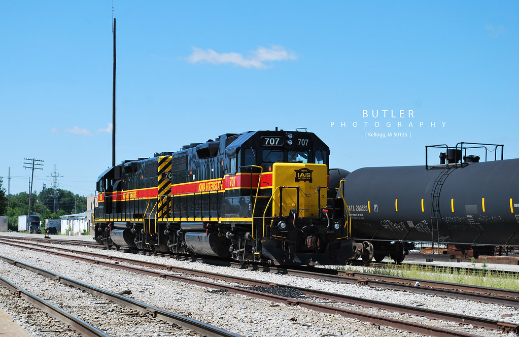
IAIS 707 and 708
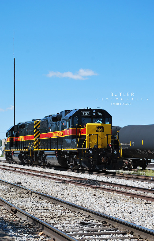
IAIS 707 and 708

IAIS 707 and 708
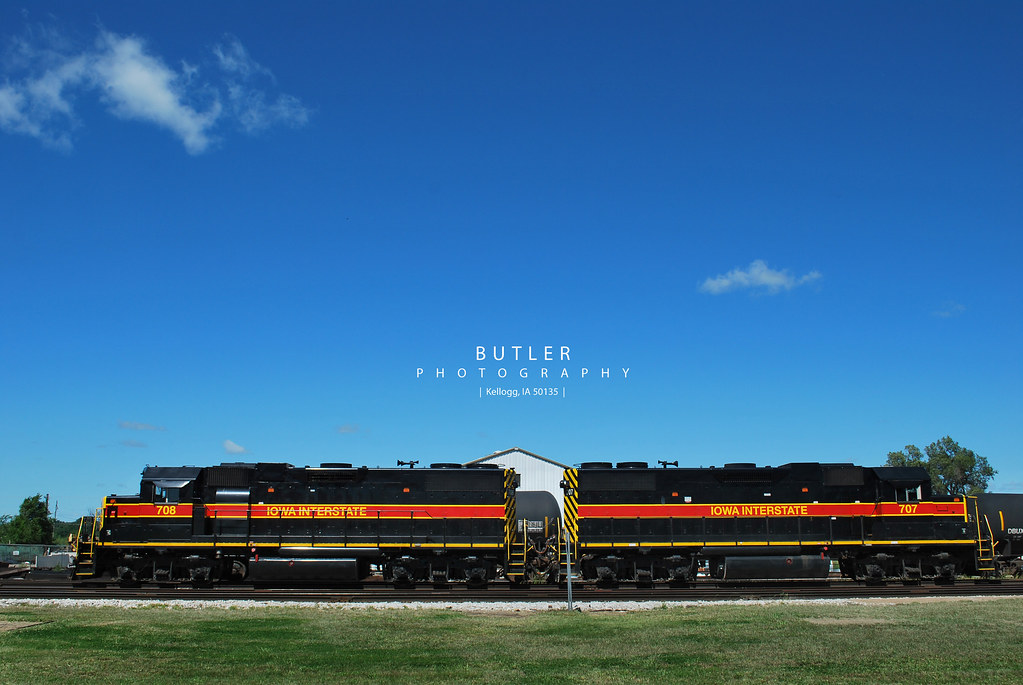
IAIS 707 and 708
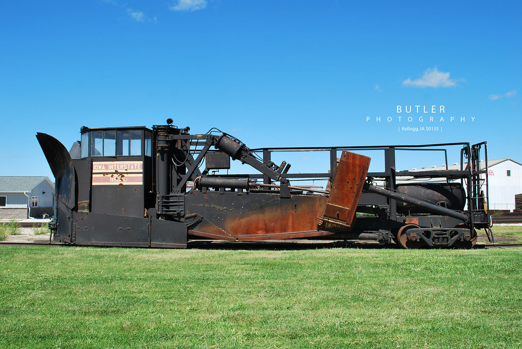
Jordan Spreader
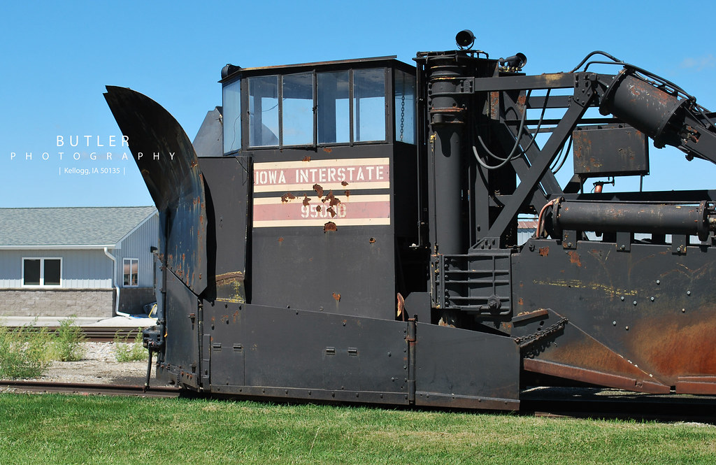
Jordan Spreader
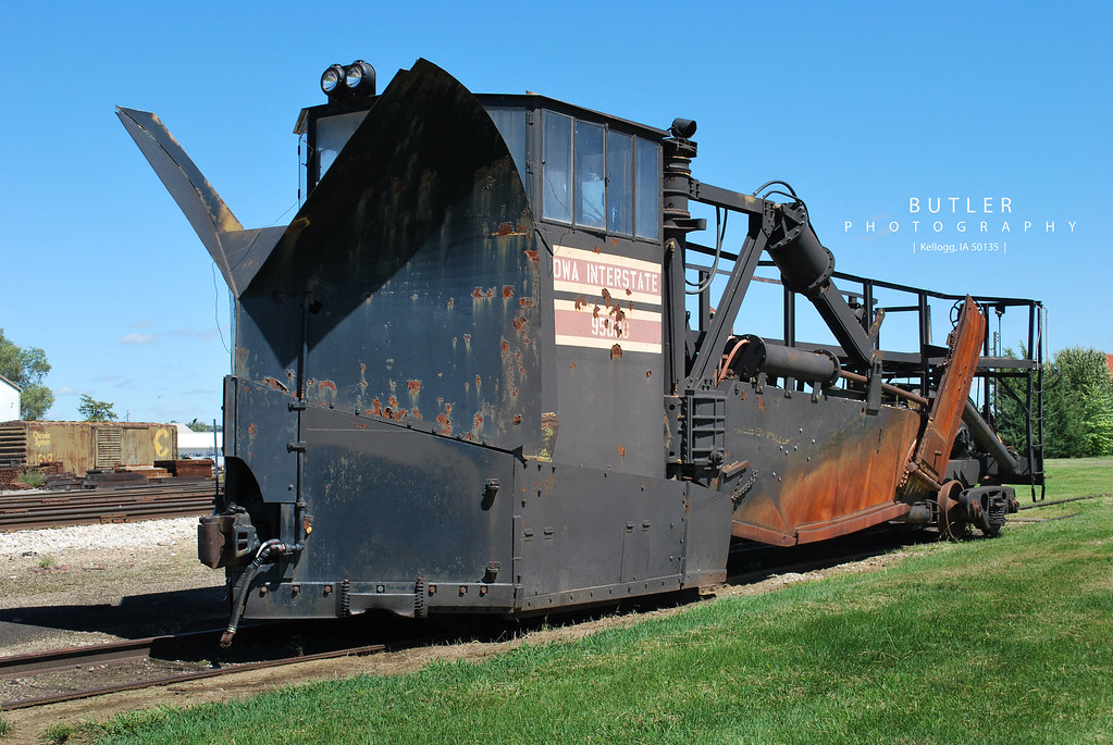
Jordan Spreader
Topographic Map of Lewis Rd, Lewis, IA, USA
Find elevation by address:

Places near Lewis Rd, Lewis, IA, USA:
Lewis
Cass
Cass County
47706 W 2nd St
47706 W 2nd St
611 E 19th St
Lyman St, Griswold, IA, USA
Atlantic
Grove
1307 E 7th St
Noble
4242 Marne Rd
Marne
Brighton
Pymosa
Layton
th St, Atlantic, IA, USA
60768 690th St
110 Allen St
Franklin
Recent Searches:
- Elevation map of Greenland, Greenland
- Elevation of Sullivan Hill, New York, New York, 10002, USA
- Elevation of Morehead Road, Withrow Downs, Charlotte, Mecklenburg County, North Carolina, 28262, USA
- Elevation of 2800, Morehead Road, Withrow Downs, Charlotte, Mecklenburg County, North Carolina, 28262, USA
- Elevation of Yangbi Yi Autonomous County, Yunnan, China
- Elevation of Pingpo, Yangbi Yi Autonomous County, Yunnan, China
- Elevation of Mount Malong, Pingpo, Yangbi Yi Autonomous County, Yunnan, China
- Elevation map of Yongping County, Yunnan, China
- Elevation of North 8th Street, Palatka, Putnam County, Florida, 32177, USA
- Elevation of 107, Big Apple Road, East Palatka, Putnam County, Florida, 32131, USA
- Elevation of Jiezi, Chongzhou City, Sichuan, China
- Elevation of Chongzhou City, Sichuan, China
- Elevation of Huaiyuan, Chongzhou City, Sichuan, China
- Elevation of Qingxia, Chengdu, Sichuan, China
- Elevation of Corso Fratelli Cairoli, 35, Macerata MC, Italy
- Elevation of Tallevast Rd, Sarasota, FL, USA
- Elevation of 4th St E, Sonoma, CA, USA
- Elevation of Black Hollow Rd, Pennsdale, PA, USA
- Elevation of Oakland Ave, Williamsport, PA, USA
- Elevation of Pedrógão Grande, Portugal