Elevation of Layton, IA, USA
Location: United States > Iowa > Pottawattamie County >
Longitude: -95.205790
Latitude: 41.4636766
Elevation: 406m / 1332feet
Barometric Pressure: 97KPa
Elevation Map:
Satellite Map:
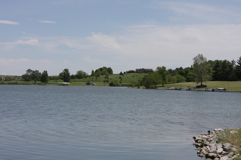
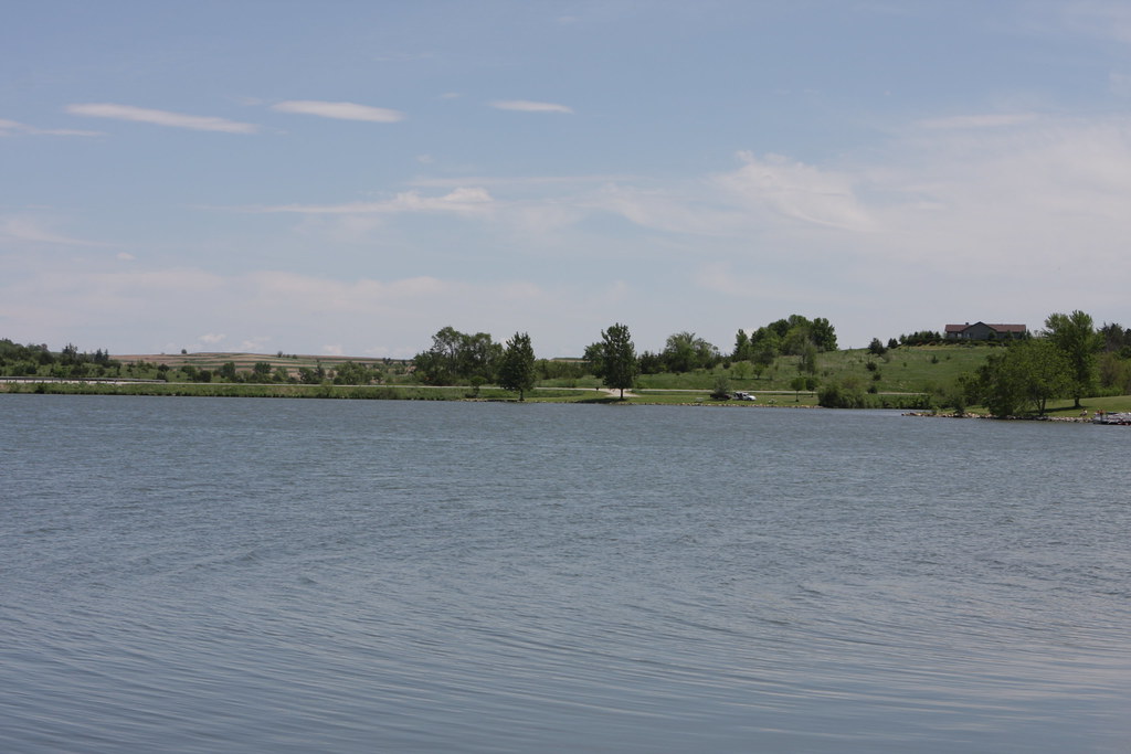
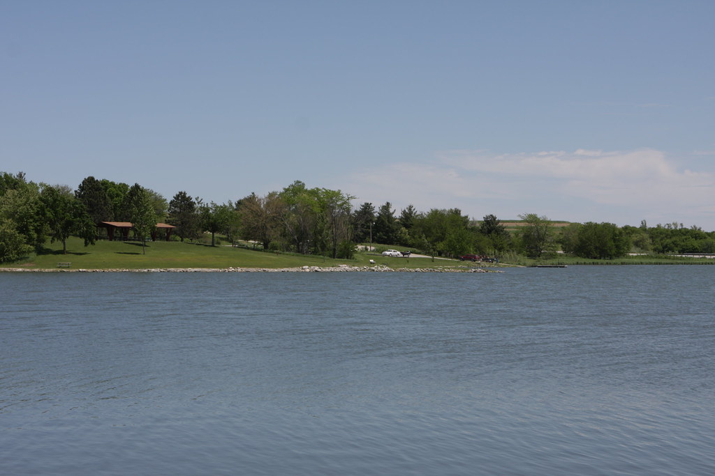
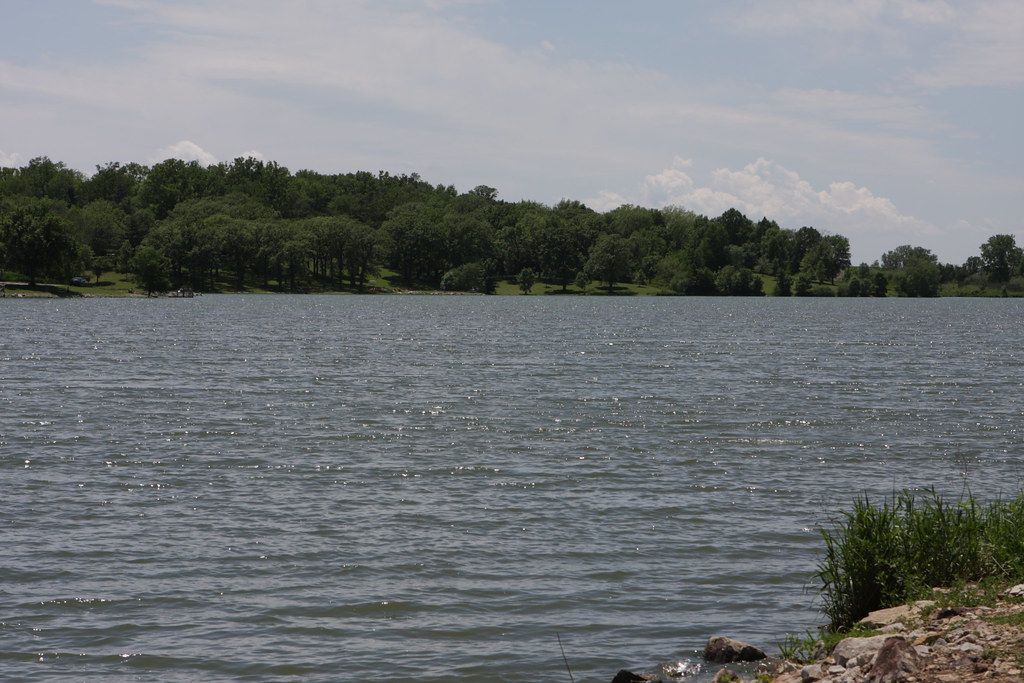
Related Photos:
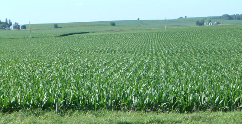
Corn on I-29
2011-09-01 13.24.50

Hoar Frost

101914-329F

Camera Roll-20

Ladies and Gentlemen, welcome to the Main Stage... Miss Amber Waves. Avoca, IA
IMG_03932.JPG

101914-332F

101914-334F
In Iowa

Avoca Iowa
IMG_03931.JPG
IMG_03948.JPG
IMG_03937.JPG
IMG_03936.JPG
IMG_03939.JPG
IMG_03938.JPG
IMG_03935.JPG
IMG_03934.JPG
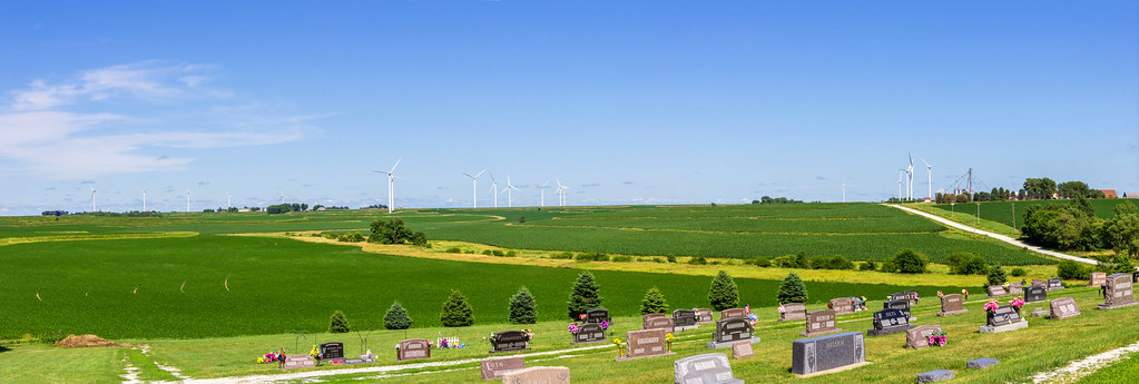
Death & Energy

Camera Roll-146
IMG_03933.JPG
IMG_03930.JPG
Topographic Map of Layton, IA, USA
Find elevation by address:

Places in Layton, IA, USA:
Places near Layton, IA, USA:
Antique City Dr, Walnut, IA, USA
Walnut
510th Street
Marne
4242 Marne Rd
31225 460th St
47053 Pinoak Rd
Brighton
Knox
1141 S Walnut St
451 S Walnut St
Avoca
452 S Walnut St
N Walnut St, Avoca, IA, USA
Fairview
Fairview
Fairview
Fairview
Fairview
Fairview
Recent Searches:
- Elevation of Congressional Dr, Stevensville, MD, USA
- Elevation of Bellview Rd, McLean, VA, USA
- Elevation of Stage Island Rd, Chatham, MA, USA
- Elevation of Shibuya Scramble Crossing, 21 Udagawacho, Shibuya City, Tokyo -, Japan
- Elevation of Jadagoniai, Kaunas District Municipality, Lithuania
- Elevation of Pagonija rock, Kranto 7-oji g. 8"N, Kaunas, Lithuania
- Elevation of Co Rd 87, Jamestown, CO, USA
- Elevation of Tenjo, Cundinamarca, Colombia
- Elevation of Côte-des-Neiges, Montreal, QC H4A 3J6, Canada
- Elevation of Bobcat Dr, Helena, MT, USA