Elevation of Antique City Dr, Walnut, IA, USA
Location: United States > Iowa > Pottawattamie County > Layton > Walnut >
Longitude: -95.221705
Latitude: 41.47755
Elevation: 407m / 1335feet
Barometric Pressure: 97KPa
Elevation Map:
Satellite Map:
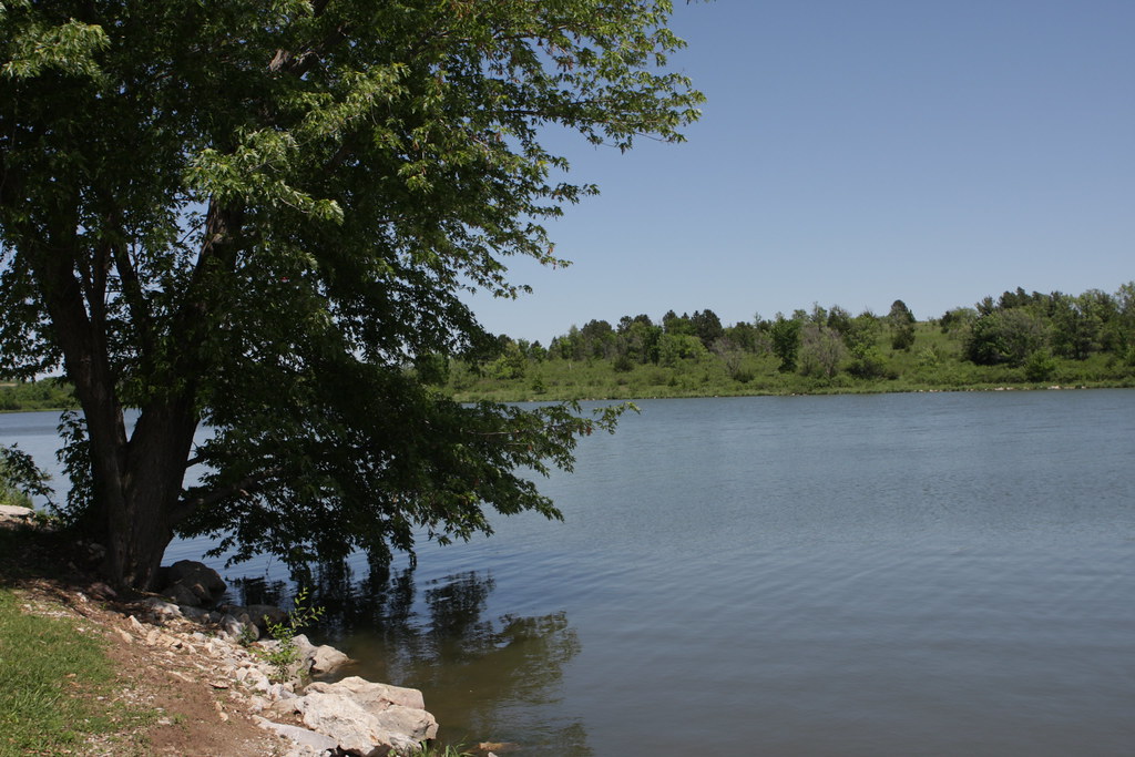
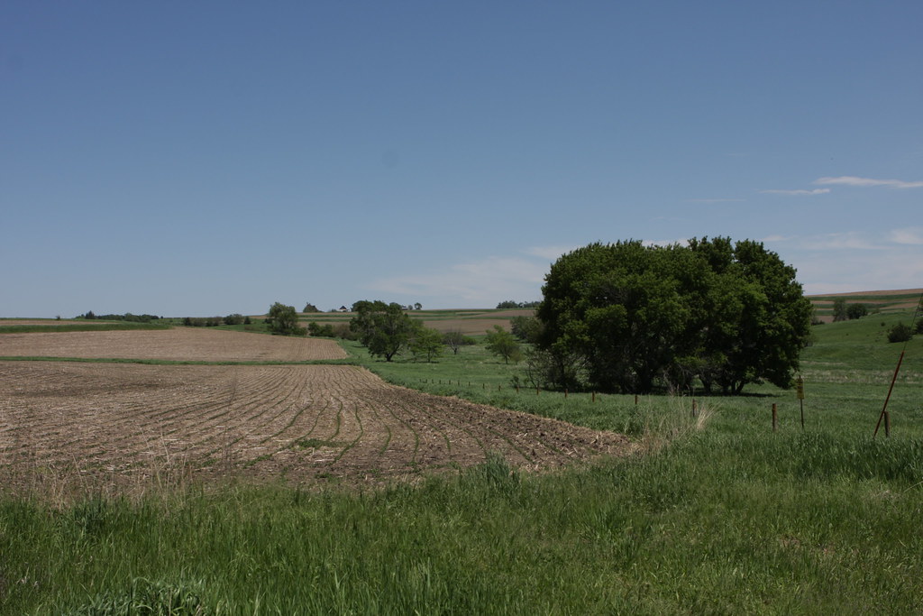
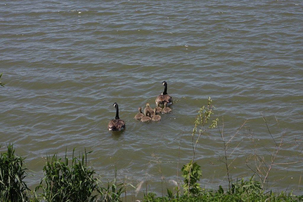
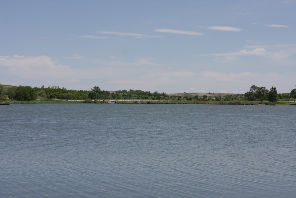
Related Photos:
2011-09-01 13.24.50
Corn on I-29

Hoar Frost

Iowa I

Iowa II
Camera Roll-14
IMG_03932.JPG
IMG_03931.JPG
IMG_03923.JPG

Landscape_080114_LR-6.jpg
IMG_03948.JPG
IMG_03937.JPG
IMG_03936.JPG
IMG_03939.JPG
IMG_03938.JPG
IMG_03935.JPG
IMG_03934.JPG

Lone billboard

Chaser Convergence
Death & Energy
side of the road, IA

Iowa sunset
IMG_03933.JPG
Topographic Map of Antique City Dr, Walnut, IA, USA
Find elevation by address:

Places near Antique City Dr, Walnut, IA, USA:
Walnut
Layton
510th Street
31225 460th St
47053 Pinoak Rd
Knox
Marne
4242 Marne Rd
1141 S Walnut St
451 S Walnut St
Avoca
N Walnut St, Avoca, IA, USA
452 S Walnut St
Fairview
Fairview
Fairview
Fairview
Fairview
Fairview
Brighton
Recent Searches:
- Elevation of Jadagoniai, Kaunas District Municipality, Lithuania
- Elevation of Pagonija rock, Kranto 7-oji g. 8"N, Kaunas, Lithuania
- Elevation of Co Rd 87, Jamestown, CO, USA
- Elevation of Tenjo, Cundinamarca, Colombia
- Elevation of Côte-des-Neiges, Montreal, QC H4A 3J6, Canada
- Elevation of Bobcat Dr, Helena, MT, USA
- Elevation of Zu den Ihlowbergen, Althüttendorf, Germany
- Elevation of Badaber, Peshawar, Khyber Pakhtunkhwa, Pakistan
- Elevation of SE Heron Loop, Lincoln City, OR, USA
- Elevation of Slanický ostrov, 01 Námestovo, Slovakia