Elevation of Brighton, IA, USA
Location: United States > Iowa > Cass County >
Longitude: -95.080691
Latitude: 41.4692638
Elevation: 373m / 1224feet
Barometric Pressure: 97KPa
Elevation Map:
Satellite Map:
Related Photos:
2011-09-01 13.24.50

Hoar Frost
2011-09-01 13.22.16

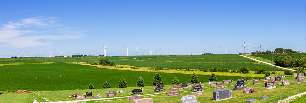
Iowa II
Iowa I

Iowa sunset
Camera Roll-14
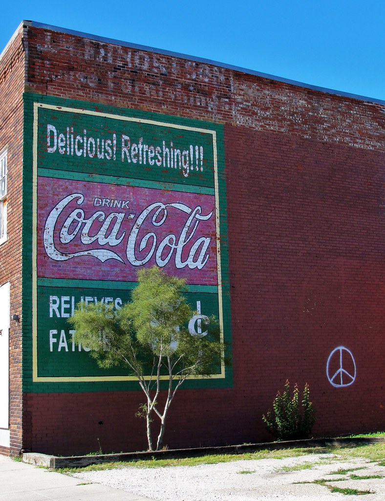
Coca-Cola Relieves Fatigue

Landscape_080114_LR-6.jpg
side of the road, IA
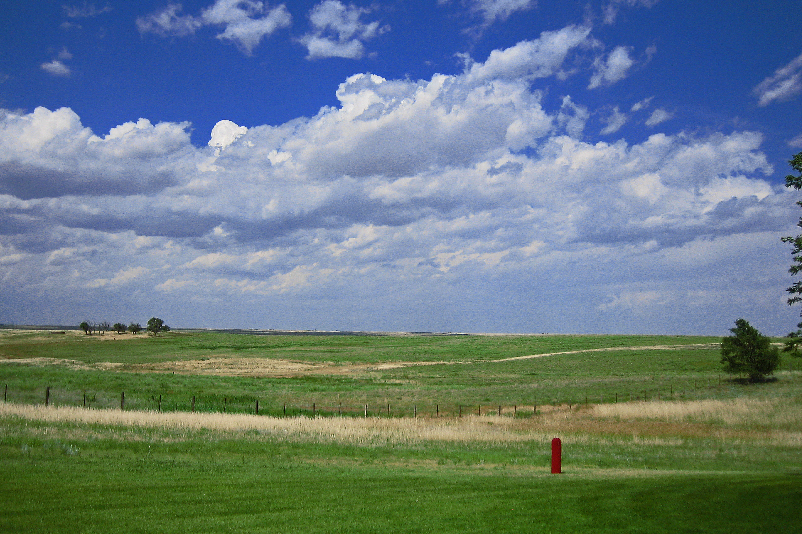
Death & Energy

Lone billboard
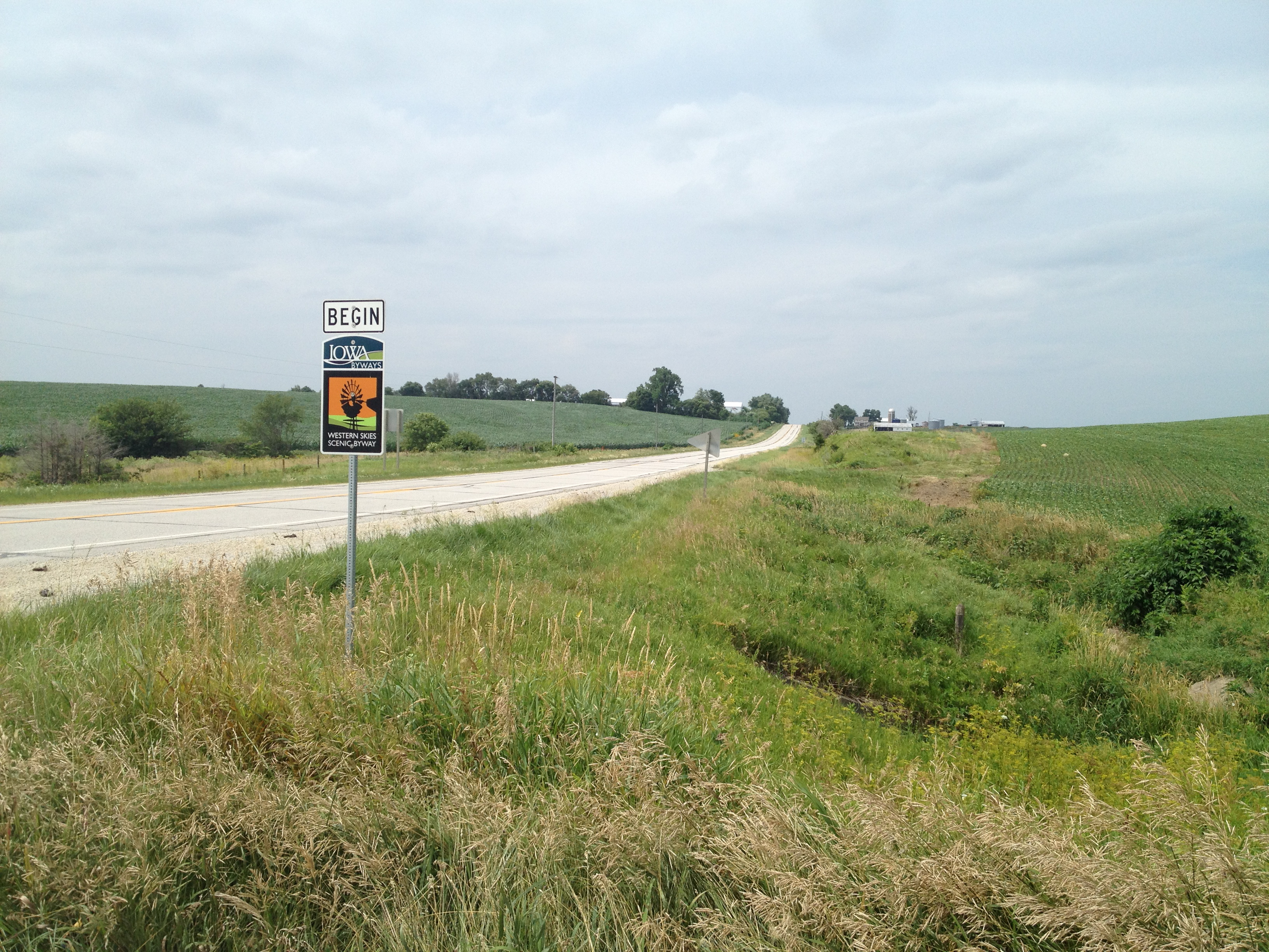
The Journey Begins
Topographic Map of Brighton, IA, USA
Find elevation by address:

Places in Brighton, IA, USA:
Places near Brighton, IA, USA:
Marne
4242 Marne Rd
47706 W 2nd St
47706 W 2nd St
Clay
Pymosa
Atlantic
1307 E 7th St
611 E 19th St
Grove
Oakfield
Elk Horn
Washington St, Elk Horn, IA, USA
Layton
th St, Atlantic, IA, USA
510th Street
Antique City Dr, Walnut, IA, USA
Walnut
W 2nd St, Kimballton, IA, USA
Kimballton
Recent Searches:
- Elevation of Elwyn Dr, Roanoke Rapids, NC, USA
- Elevation of Congressional Dr, Stevensville, MD, USA
- Elevation of Bellview Rd, McLean, VA, USA
- Elevation of Stage Island Rd, Chatham, MA, USA
- Elevation of Shibuya Scramble Crossing, 21 Udagawacho, Shibuya City, Tokyo -, Japan
- Elevation of Jadagoniai, Kaunas District Municipality, Lithuania
- Elevation of Pagonija rock, Kranto 7-oji g. 8"N, Kaunas, Lithuania
- Elevation of Co Rd 87, Jamestown, CO, USA
- Elevation of Tenjo, Cundinamarca, Colombia
- Elevation of Côte-des-Neiges, Montreal, QC H4A 3J6, Canada