Elevation of Cass County, IA, USA
Location: United States > Iowa >
Longitude: -94.976654
Latitude: 41.2538068
Elevation: 369m / 1211feet
Barometric Pressure: 97KPa
Elevation Map:
Satellite Map:
Related Photos:
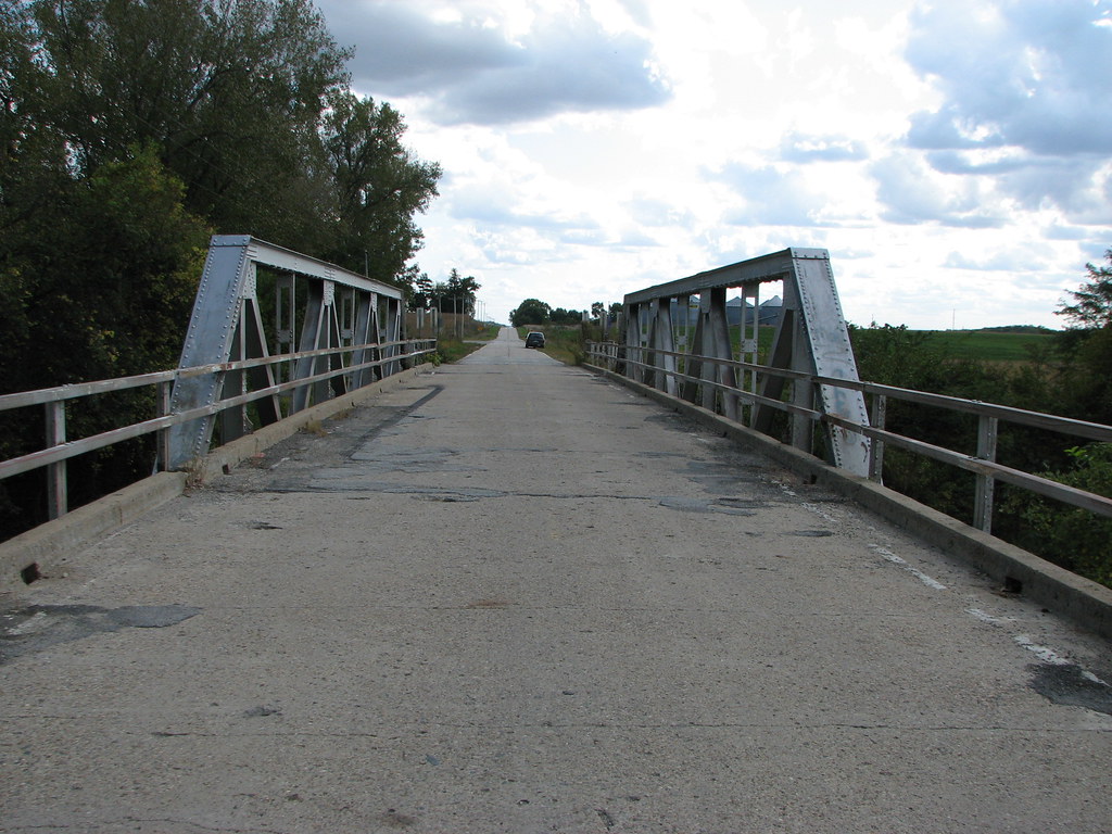
West Nodaway River-Deck View
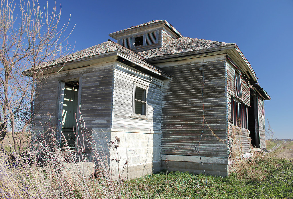
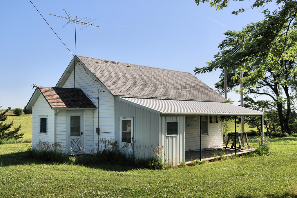
College Corners School - rural Atlantic, IA

College Corners School - rural Atlantic, IA
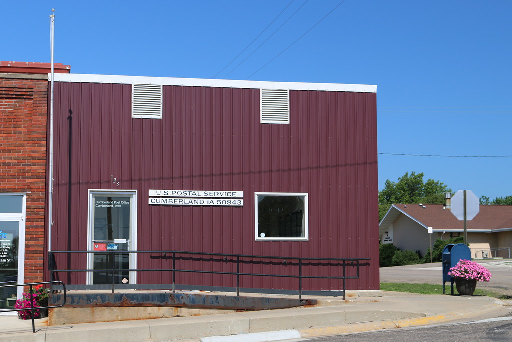
Post Office - Cumberland, IA
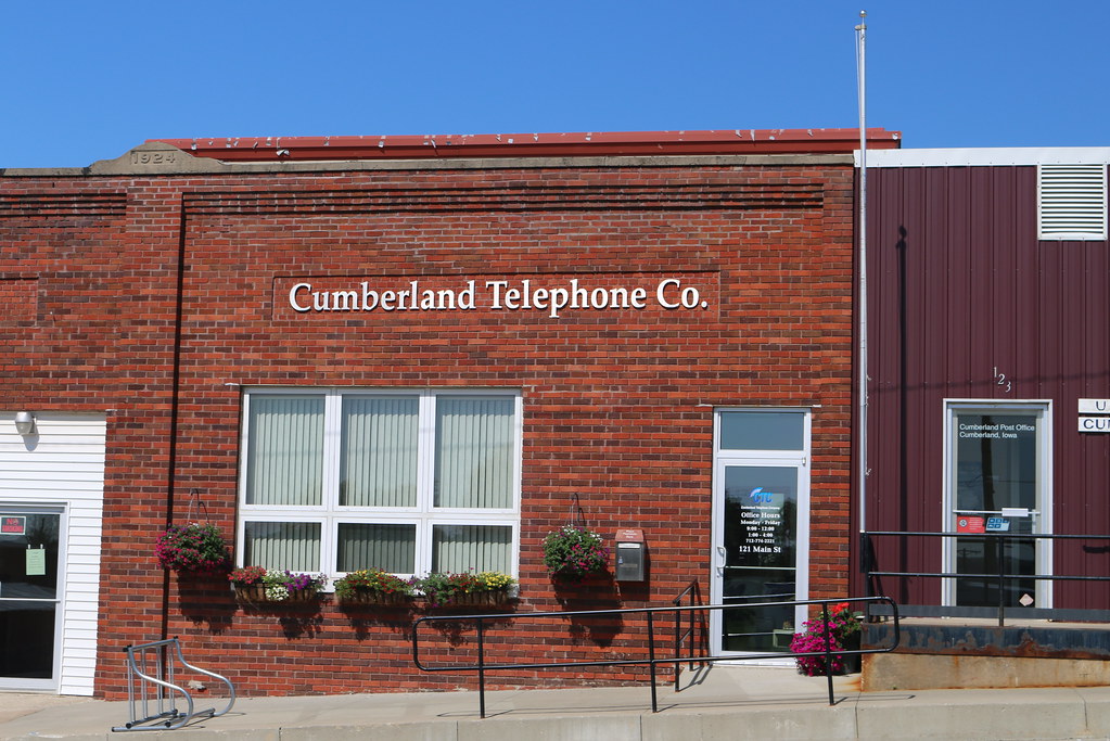
Cumberland Telephone Co. Building - Cumberland, IA
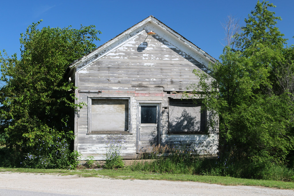
Storefront - Norway Center, IA
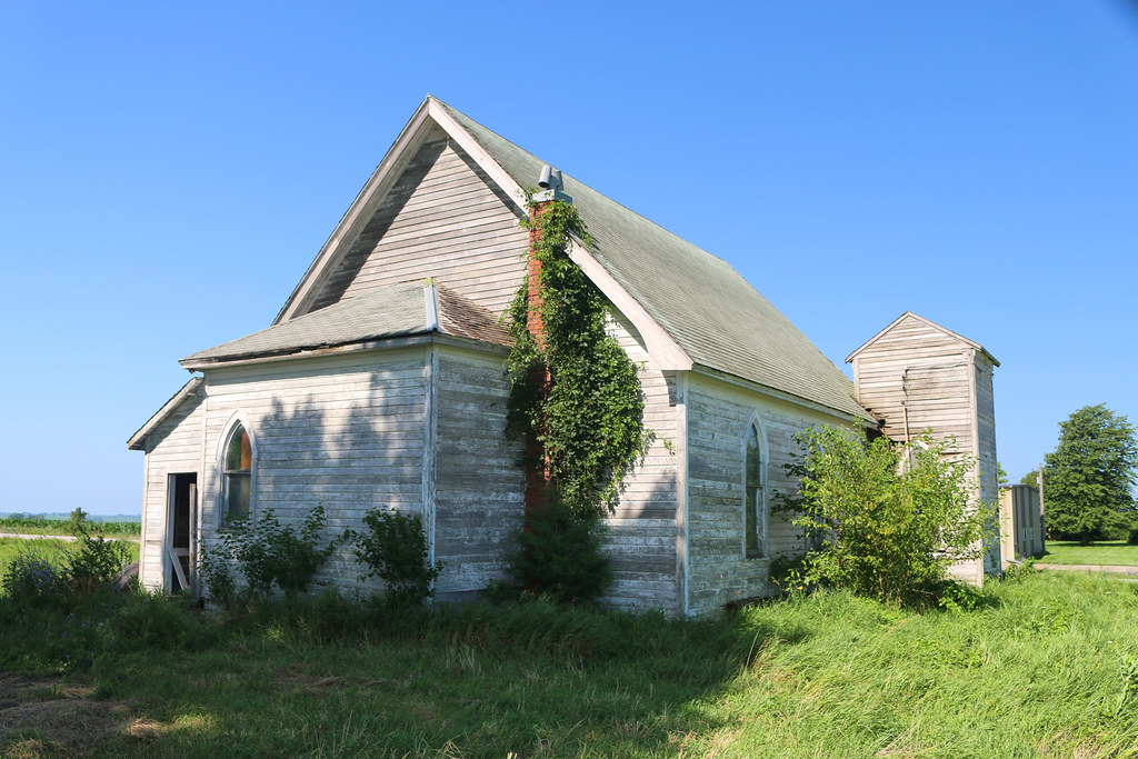
Abandoned Church - Norway Center, IA

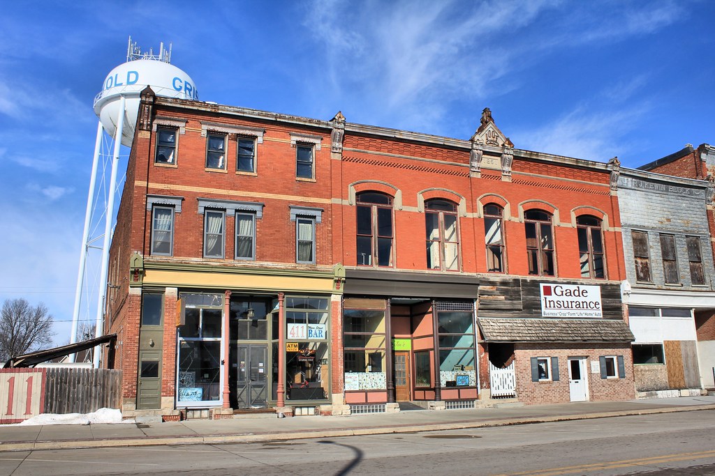
Downtown Building - Cumberland, IA

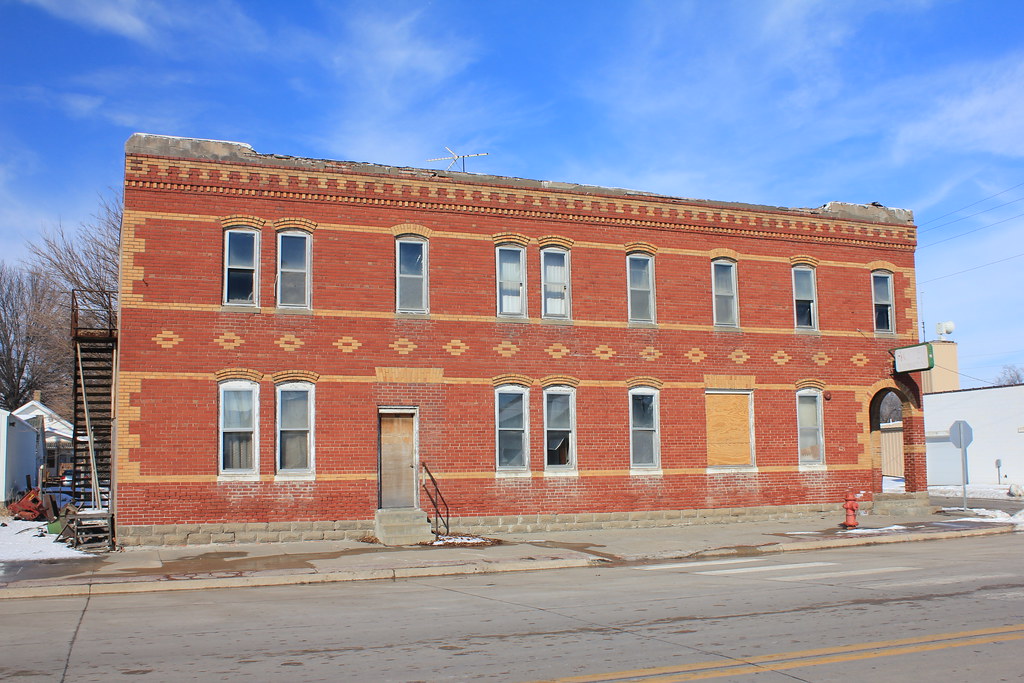
Legion Building & I.O.O.F. Hall - Cumberland, IA
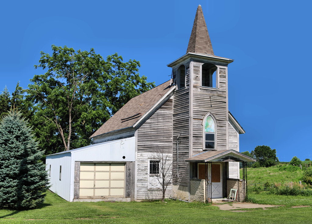
Abandoned Church - Cumberland, IA
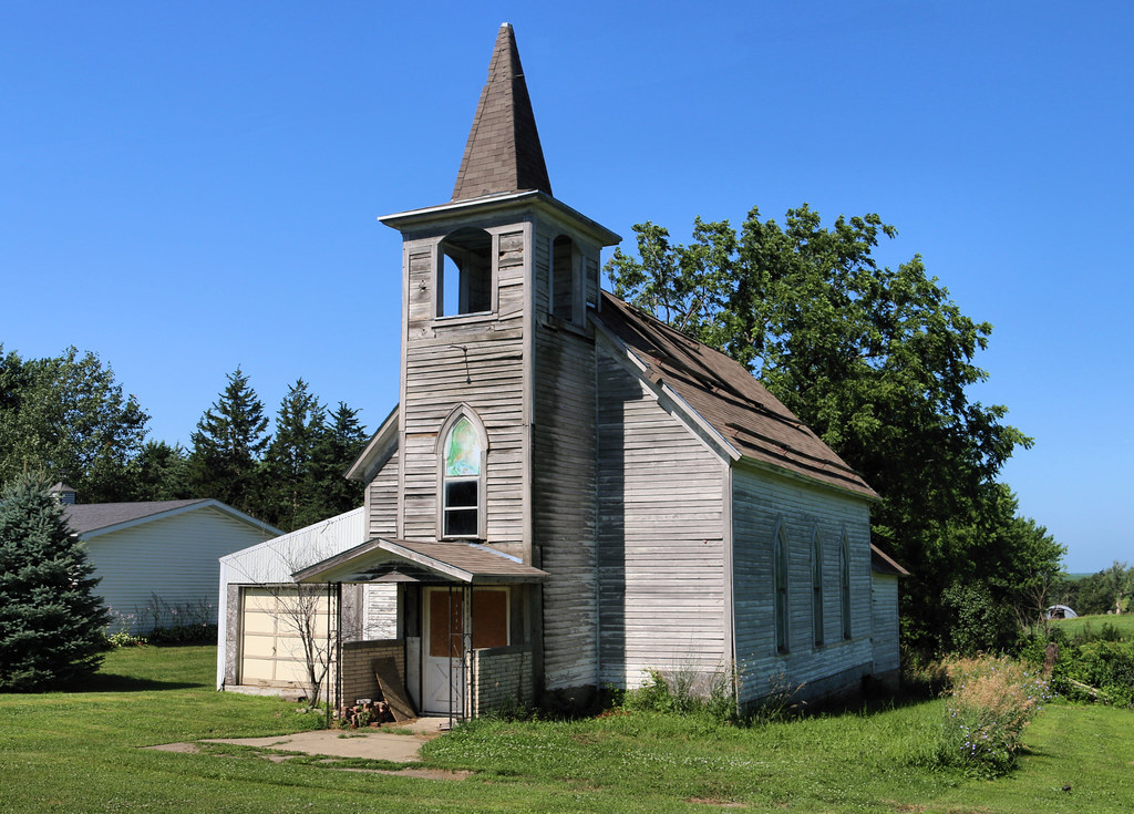
Abandoned Church - Cumberland, IA
Mayflower School - rural Cumberland, IA
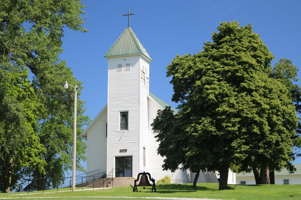
St. Timothy's Catholic Church - Reno (rural Cumberland), IA
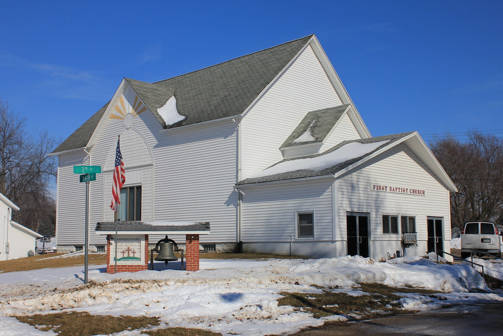
First Baptist Church - Cumberland, IA
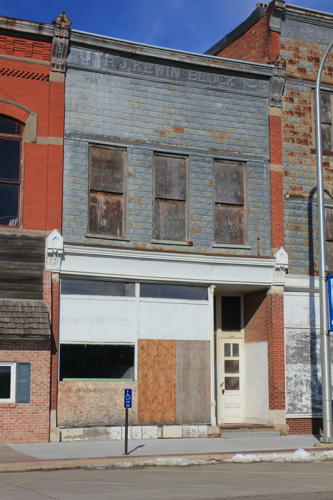
R.J. Kewin Block - Griswold, IA
Hotel Arlington - Griswold, IA

Fire Station - Griswold, IA
I.O.O.F. Block - Griswold, IA
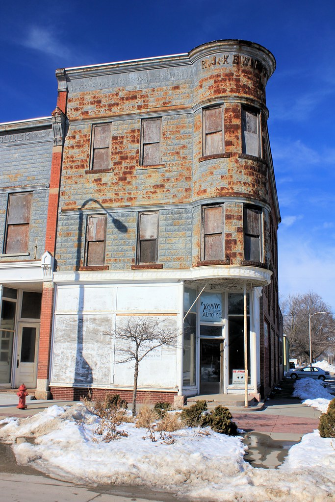
R.J. Kewin Block - Griswold, IA
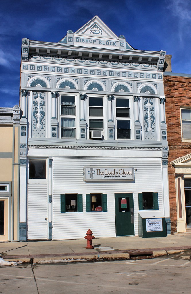
Bishop Block - Griswold, IA
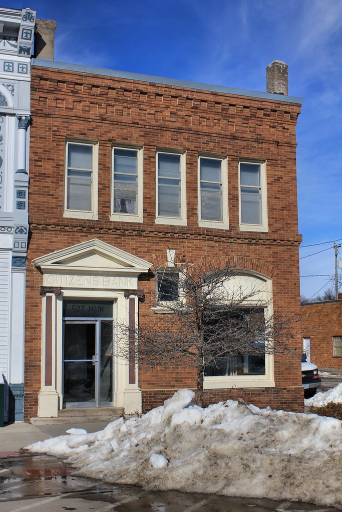
Citizens Bank Building - Griswold, IA
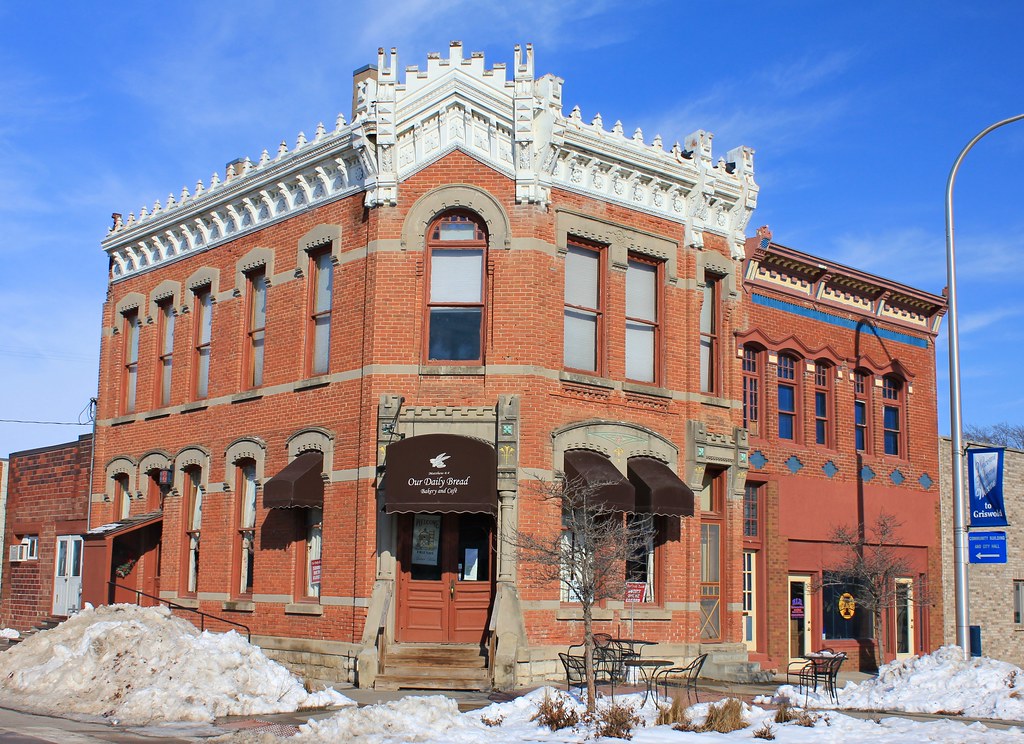
Our Daily Bread - Griswold, IA
Topographic Map of Cass County, IA, USA
Find elevation by address:

Places in Cass County, IA, USA:
Places near Cass County, IA, USA:
Lyman St, Griswold, IA, USA
Noble
Lewis Rd, Lewis, IA, USA
Lewis
Cass
611 E 19th St
Grove
60768 690th St
Franklin
1307 E 7th St
Atlantic
47706 W 2nd St
47706 W 2nd St
110 Allen St
Wiota
68899 Hamburg Rd
th St, Atlantic, IA, USA
Pymosa
4242 Marne Rd
Marne
Recent Searches:
- Elevation of Corso Fratelli Cairoli, 35, Macerata MC, Italy
- Elevation of Tallevast Rd, Sarasota, FL, USA
- Elevation of 4th St E, Sonoma, CA, USA
- Elevation of Black Hollow Rd, Pennsdale, PA, USA
- Elevation of Oakland Ave, Williamsport, PA, USA
- Elevation of Pedrógão Grande, Portugal
- Elevation of Klee Dr, Martinsburg, WV, USA
- Elevation of Via Roma, Pieranica CR, Italy
- Elevation of Tavkvetili Mountain, Georgia
- Elevation of Hartfords Bluff Cir, Mt Pleasant, SC, USA