Elevation of Le Bourg, Alleyrac, France
Location: France > Haute-loire > Alleyrac >
Longitude: 3.9861769
Latitude: 44.8901183
Elevation: 1086m / 3563feet
Barometric Pressure: 89KPa
Elevation Map:
Satellite Map:
Related Photos:
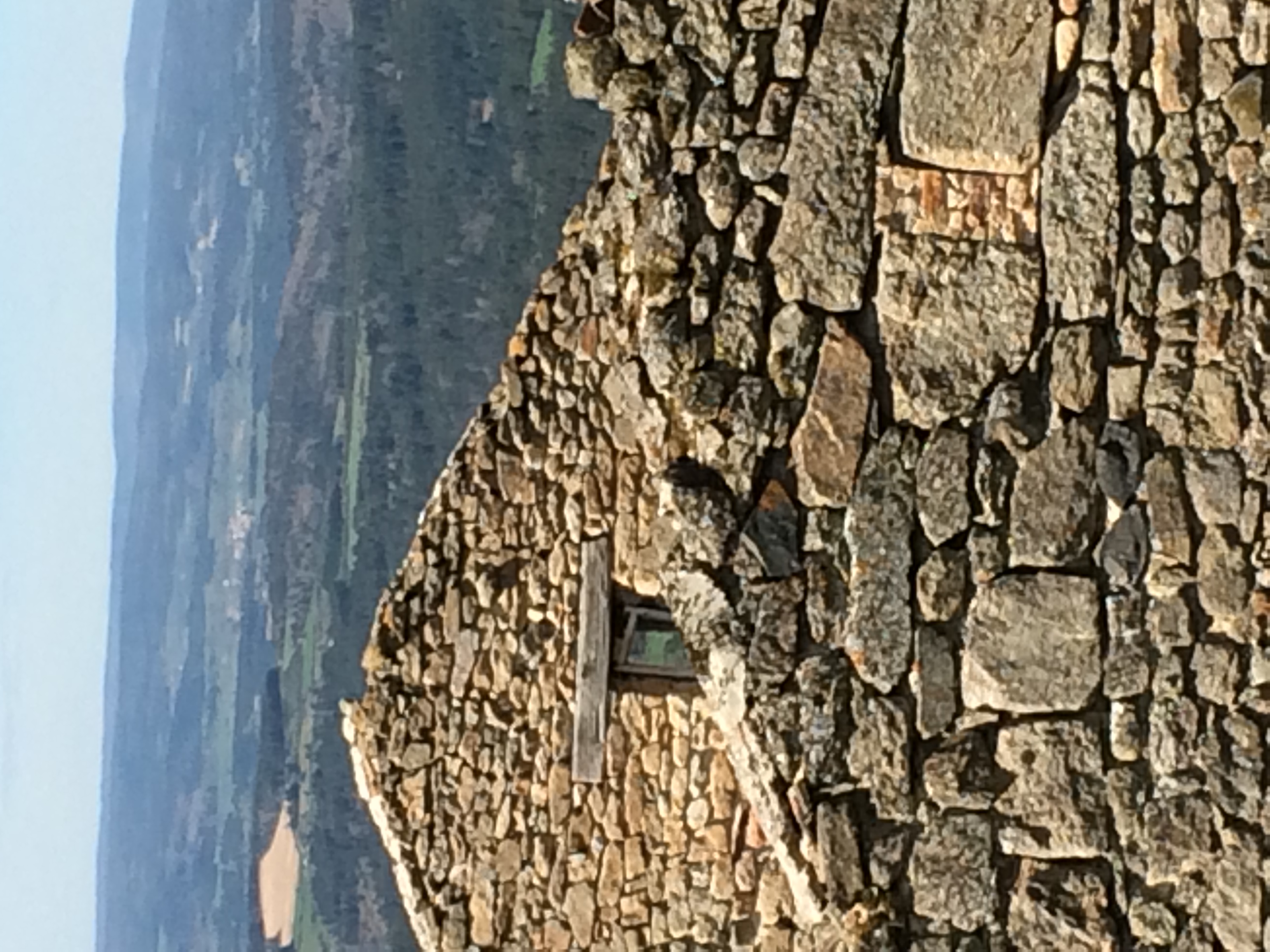
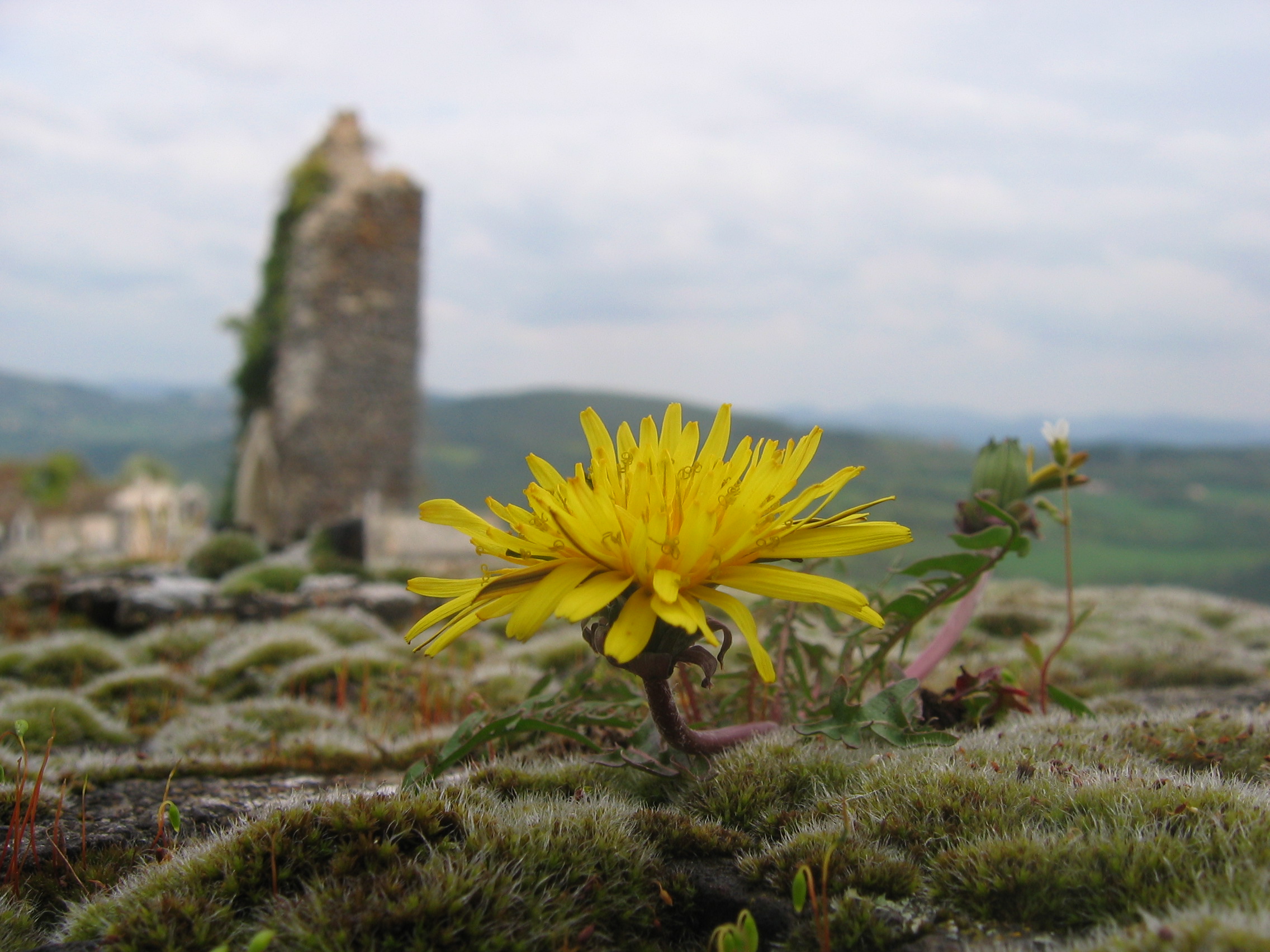
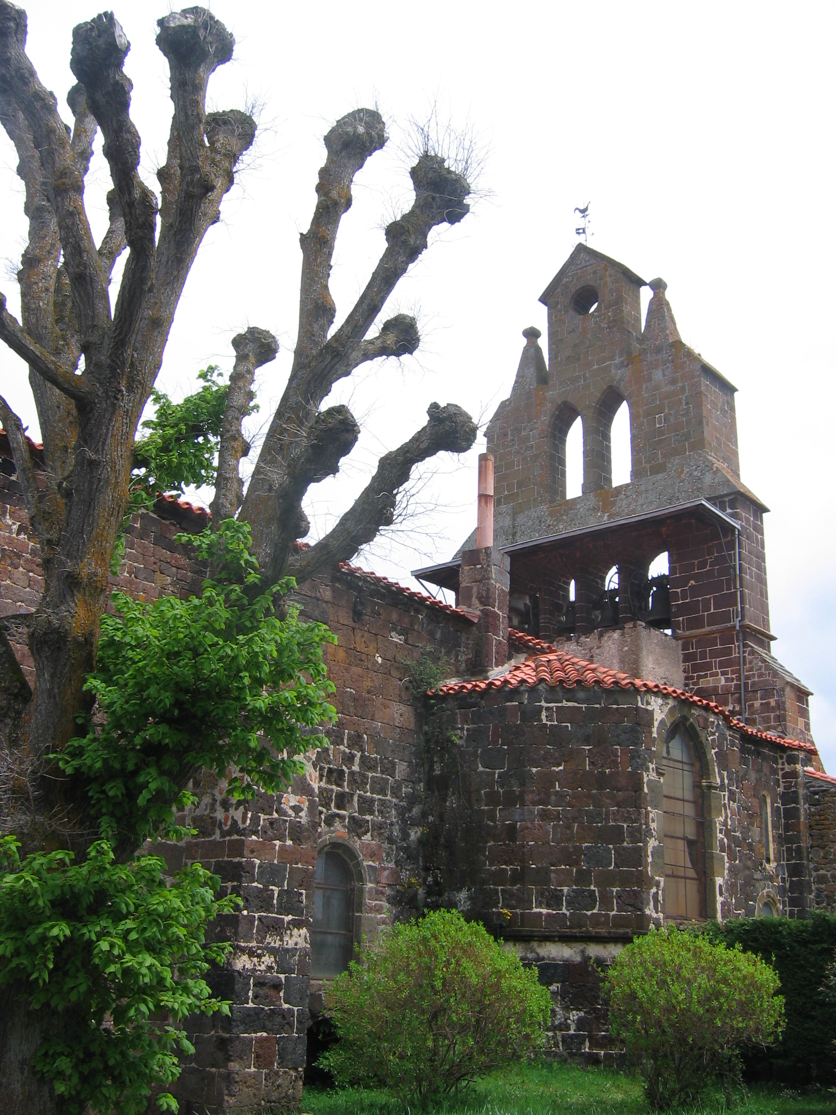
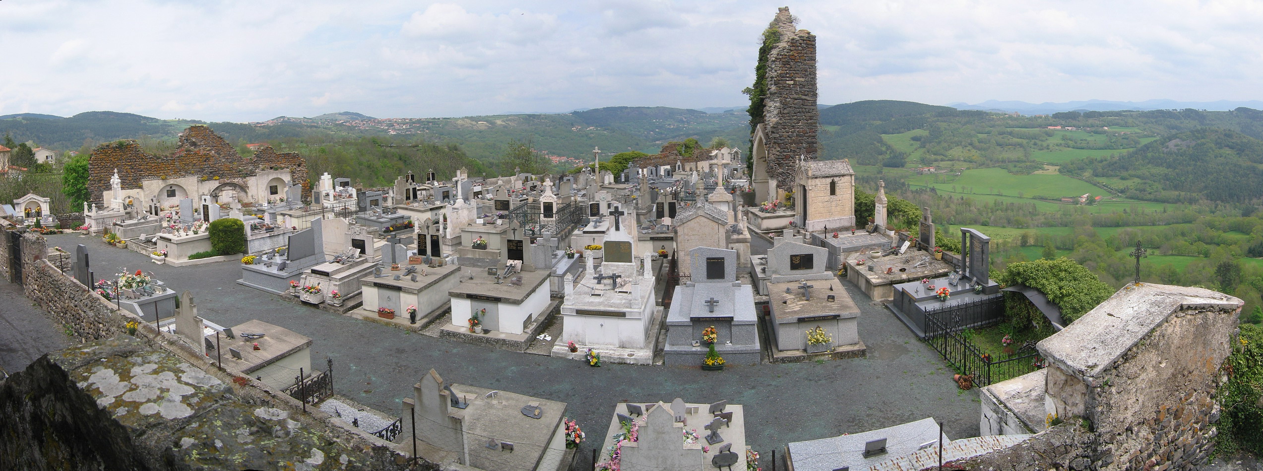
Ruin with a view in Pradelles.
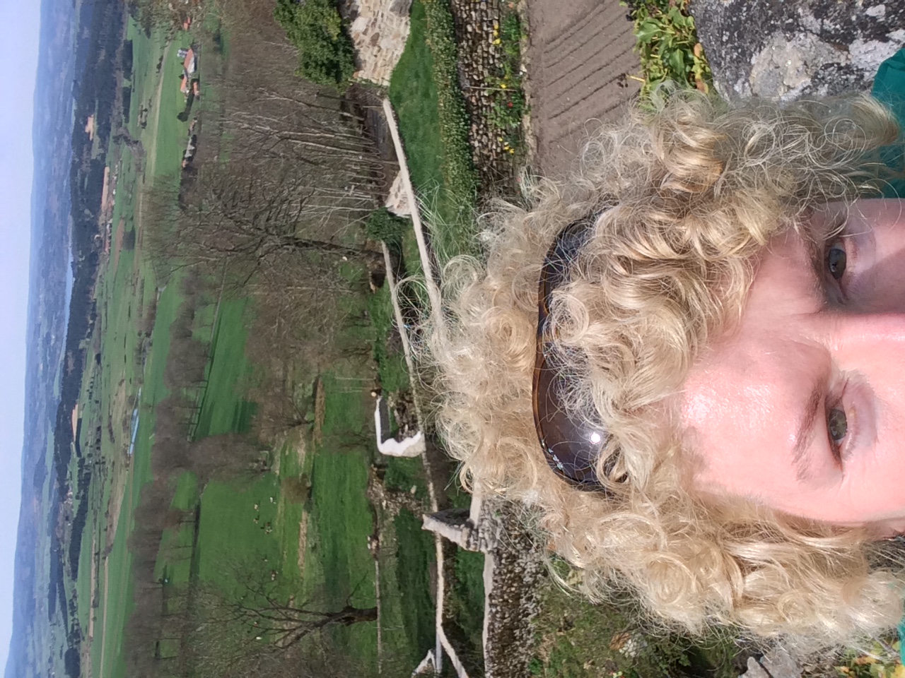
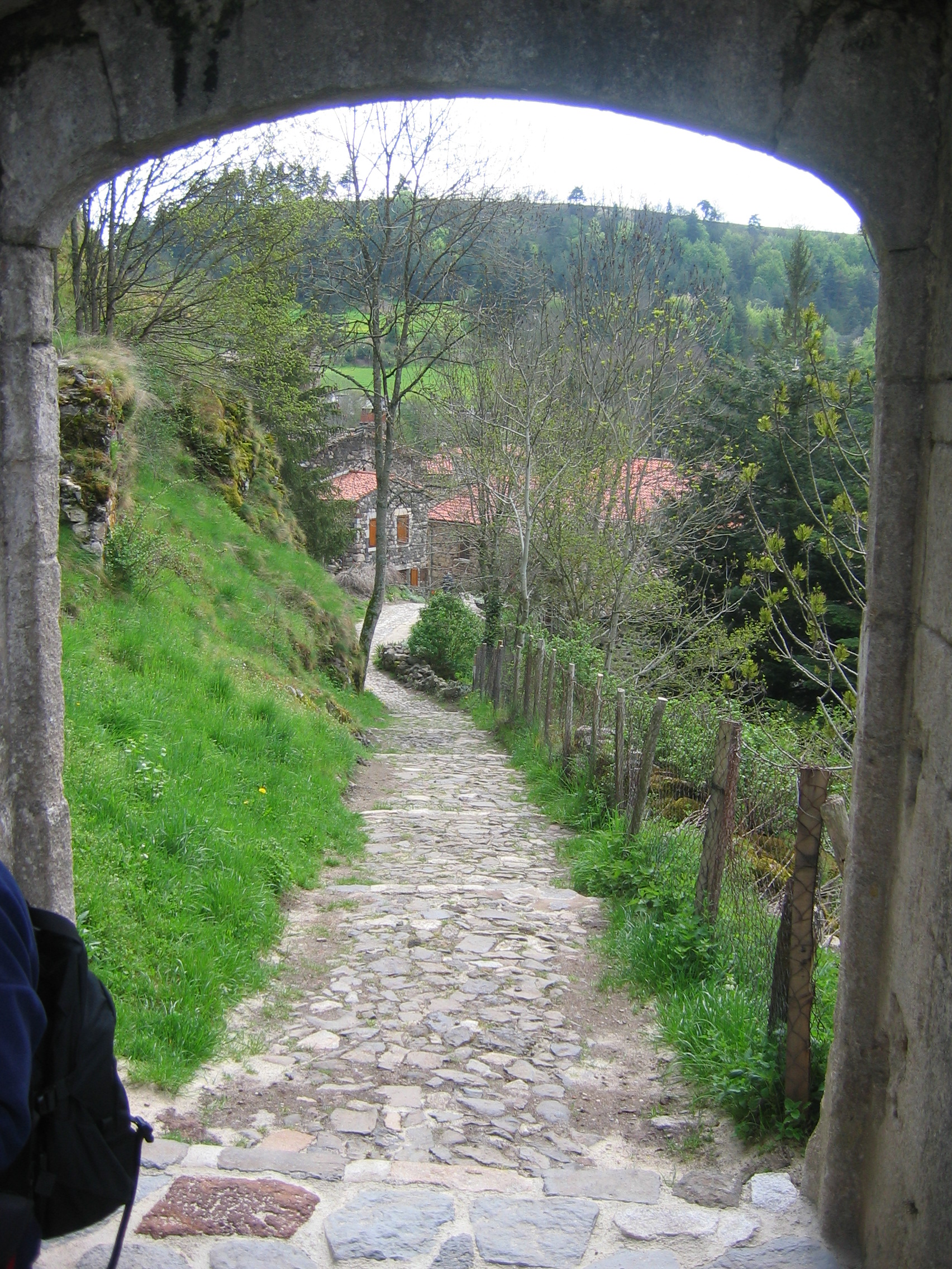
Me getting in the way of the view from the top of Pradelles.
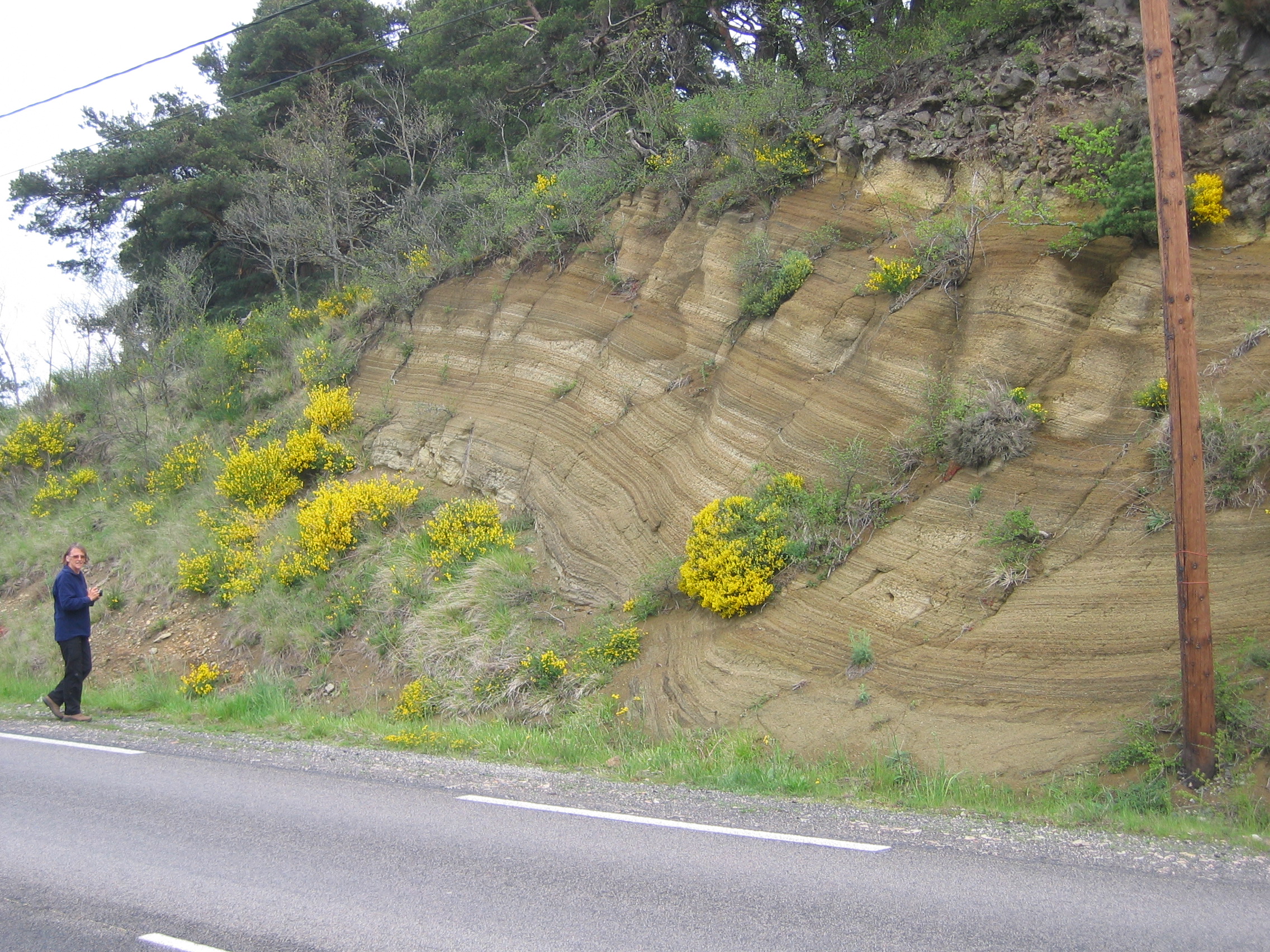
IMG_8377.JPG
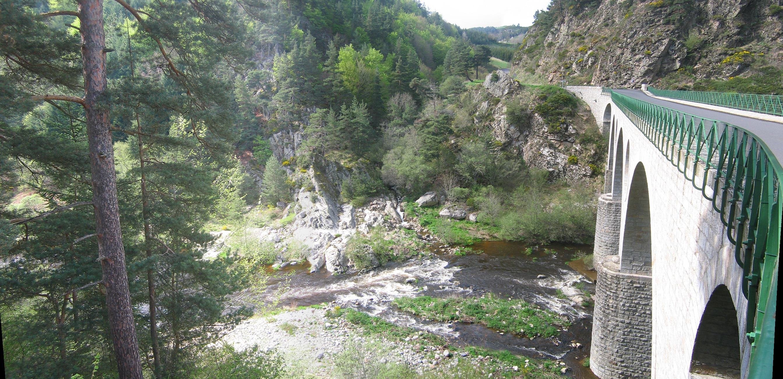
IMG_8350_pano.jpg
IMG_8359_pano.jpg
IMG_8331.JPG
IMG_8344.JPG
IMG_8335.JPG

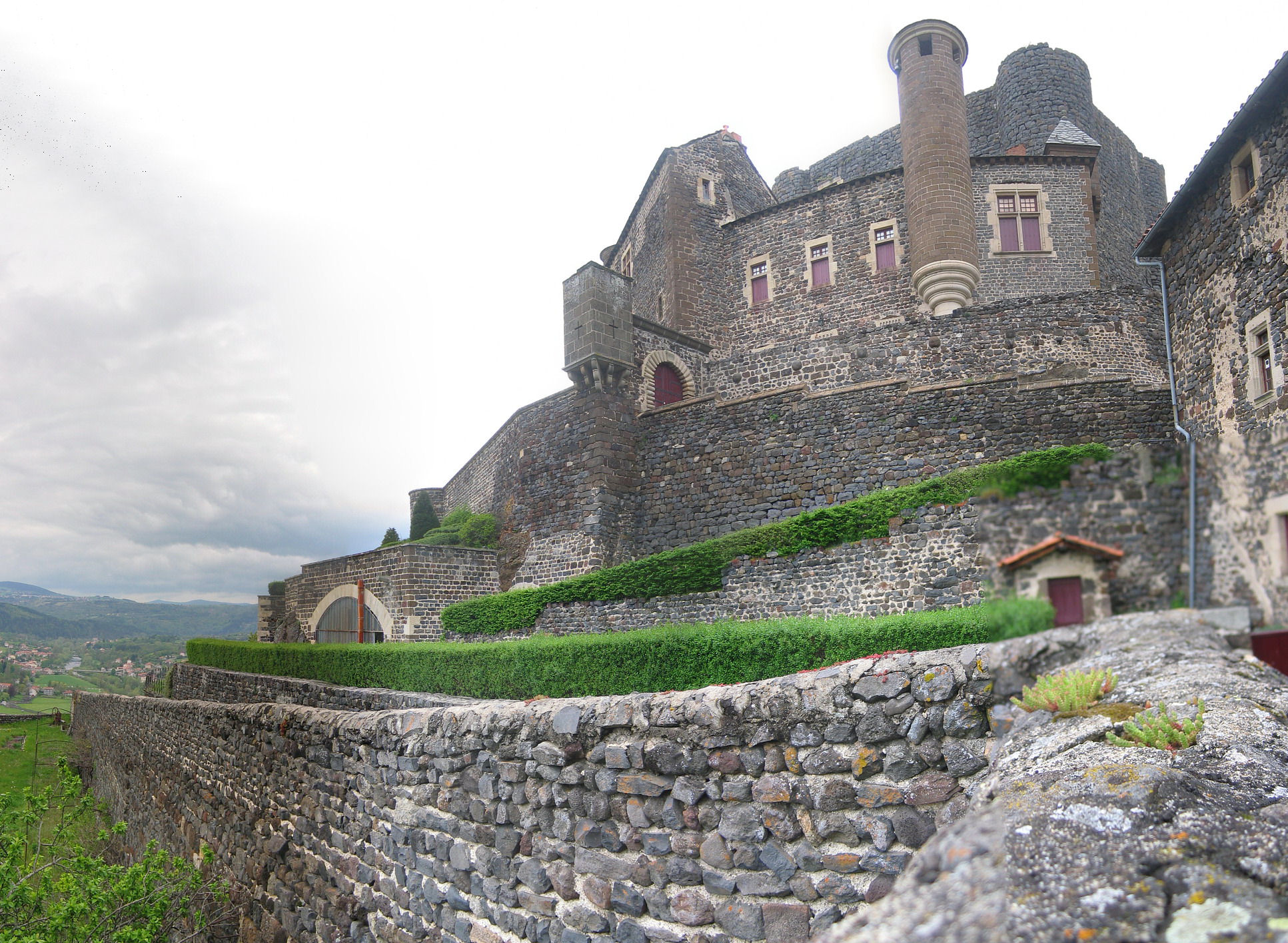
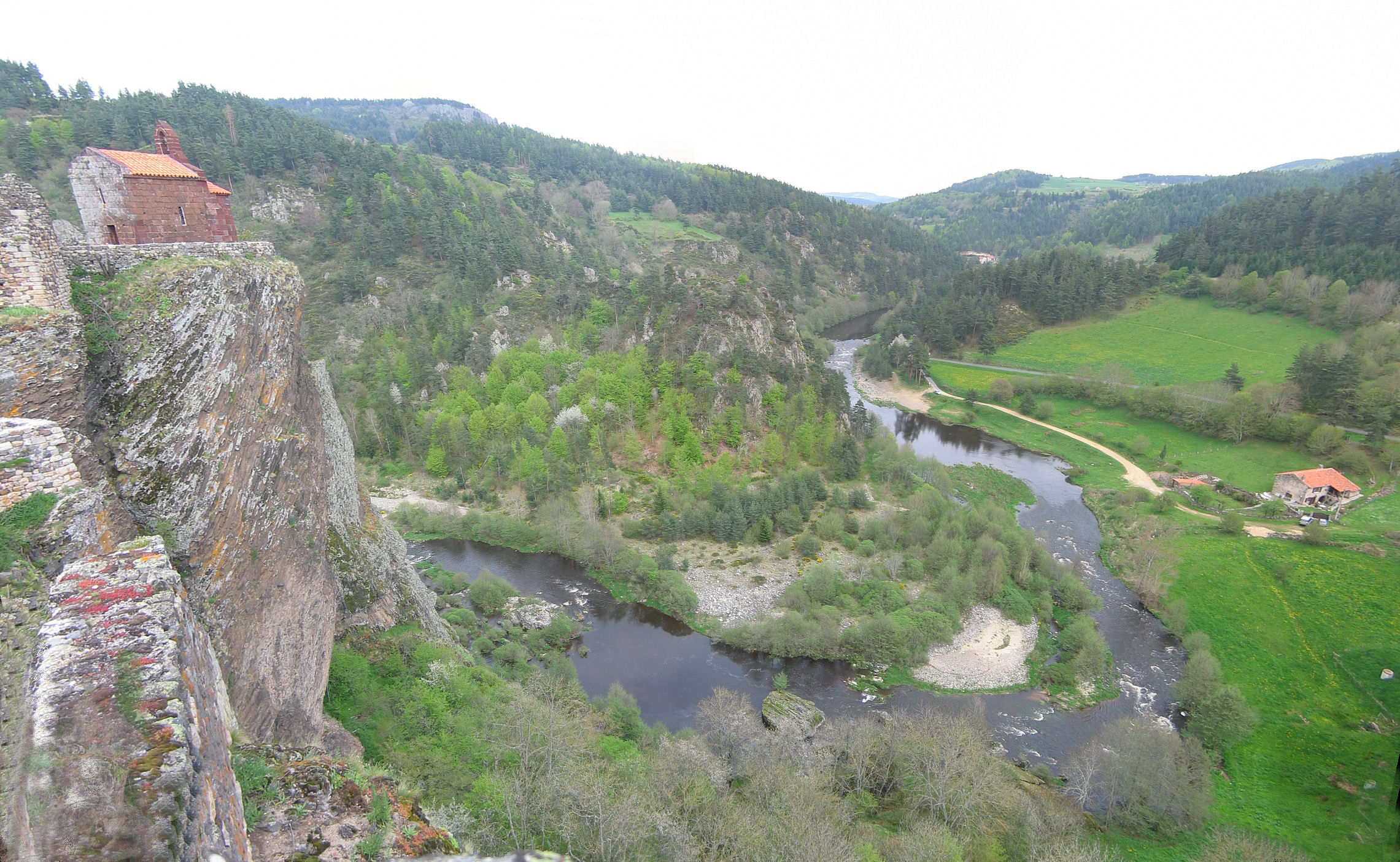
View to the Château d' Arlempdes, April 2013
IMG_8363.JPG
IMG_8483_pano.JPG

View to the Château d'Arlempdes, April 2013
IMG_8343_pano.JPG

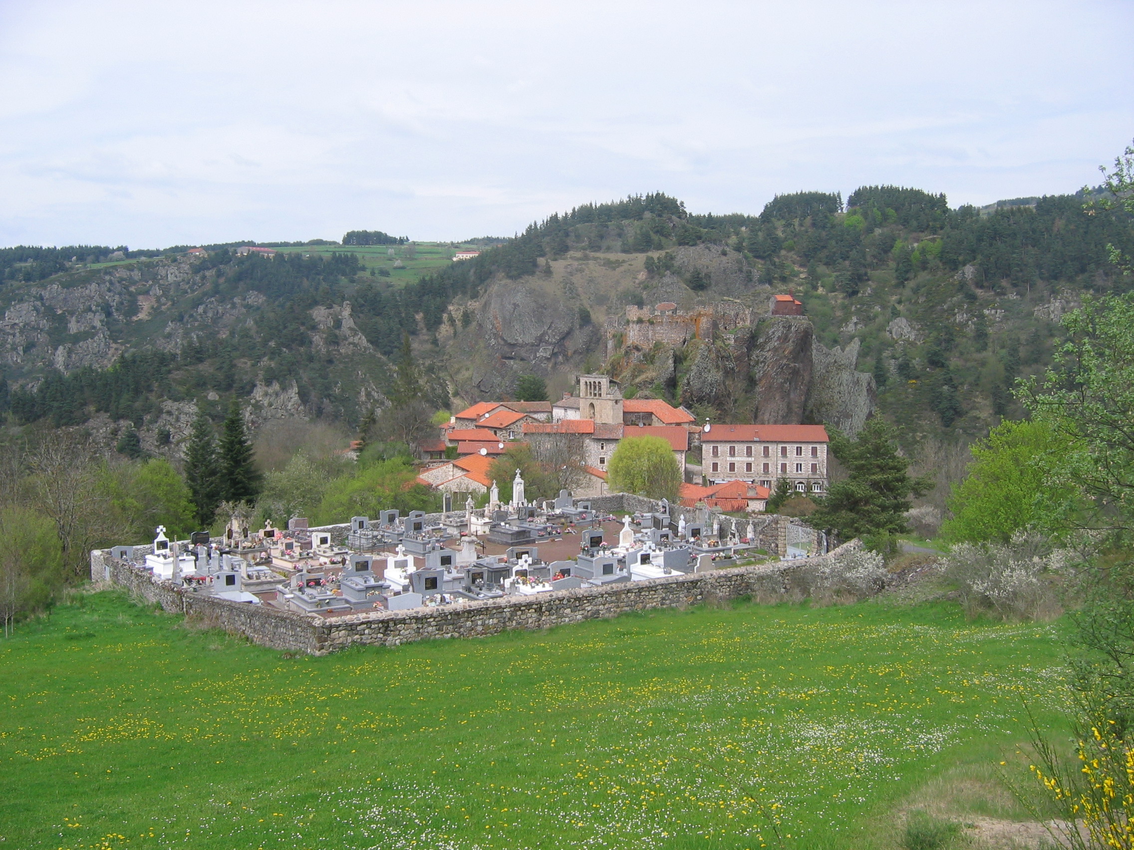
View of Arlempdes, April 2013
IMG_8323_pano.JPG
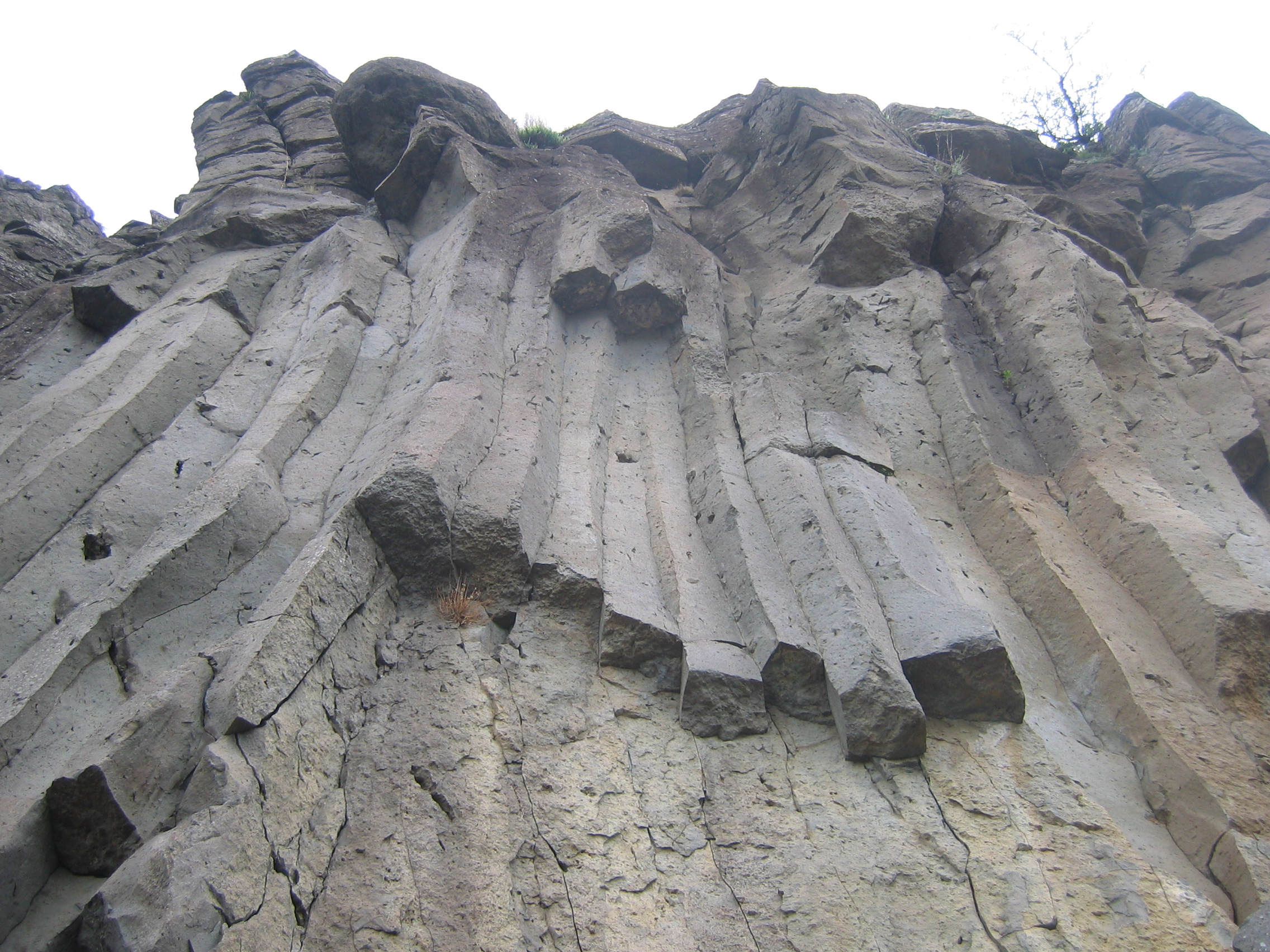
IMG_8332.JPG
IMG_8360.JPG
IMG_8370_pano.JPG
IMG_8475_pano.JPG
IMG_8376_pano.JPG
IMG_8330.JPG

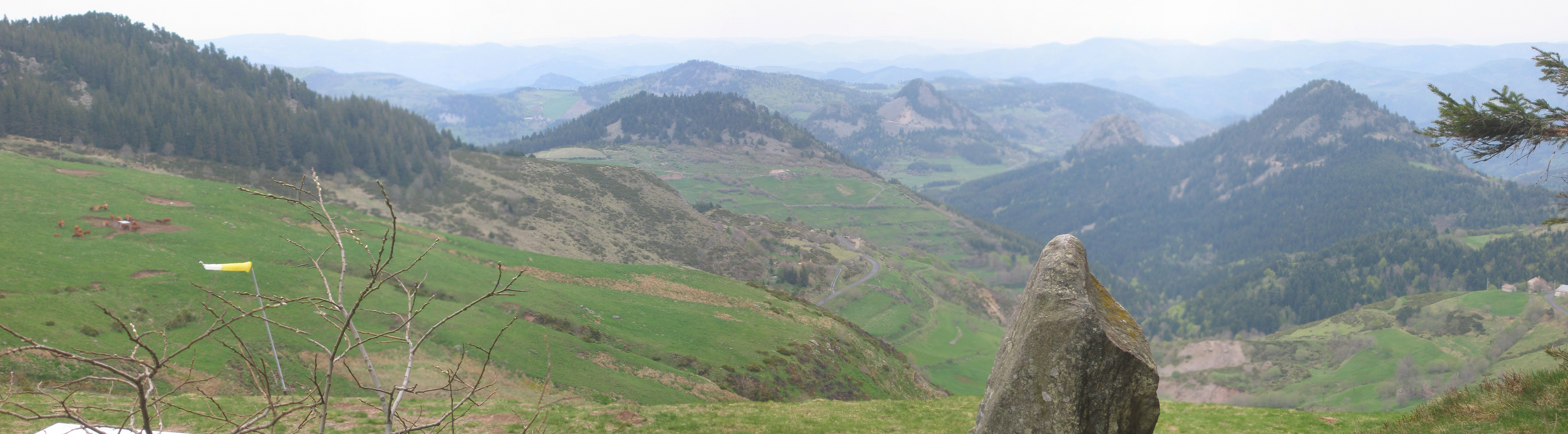
Le Mézenc , Haute-Loire..

Mont Mézenc , Les Estables .

Le Mézenc , Haute-Loire .
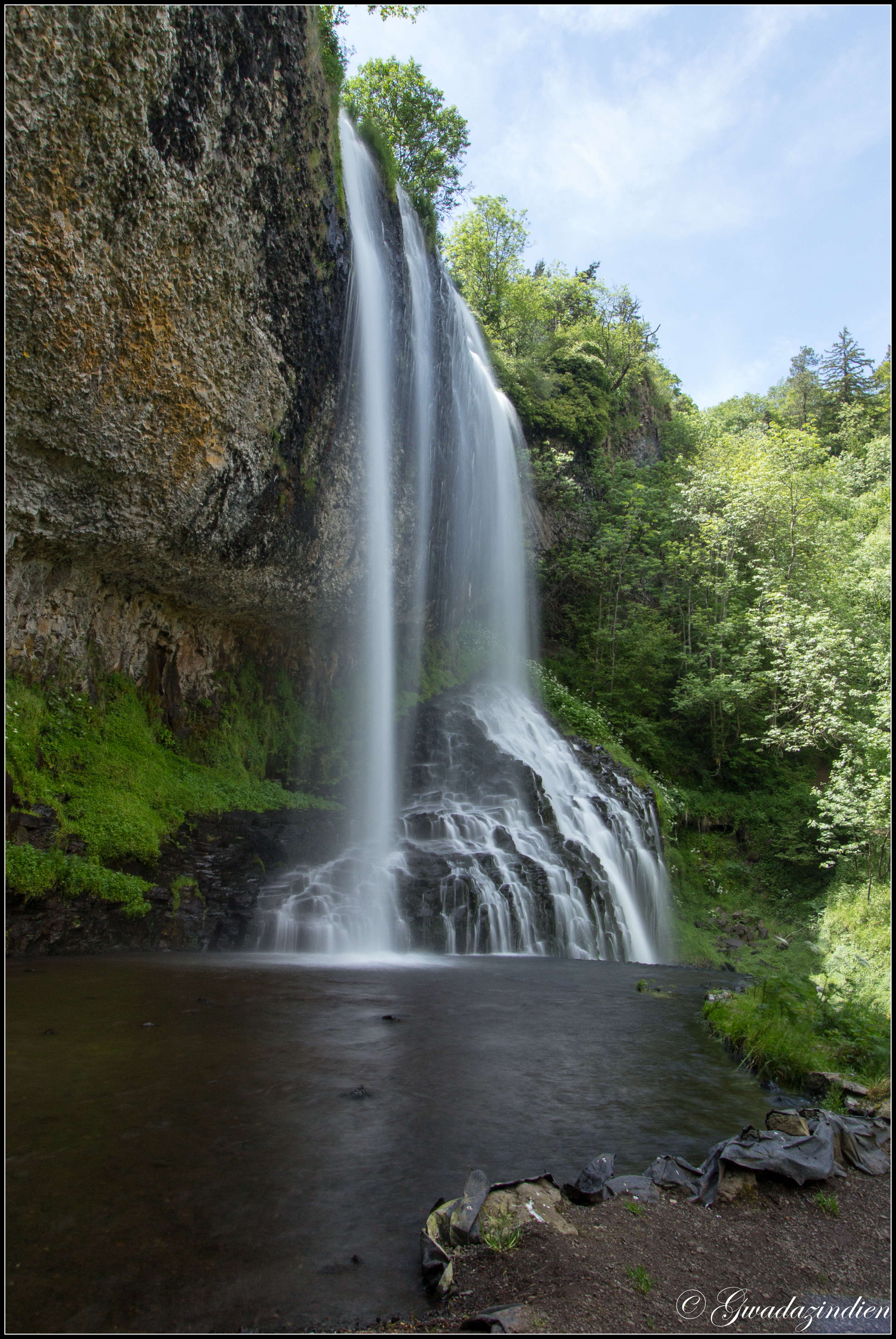
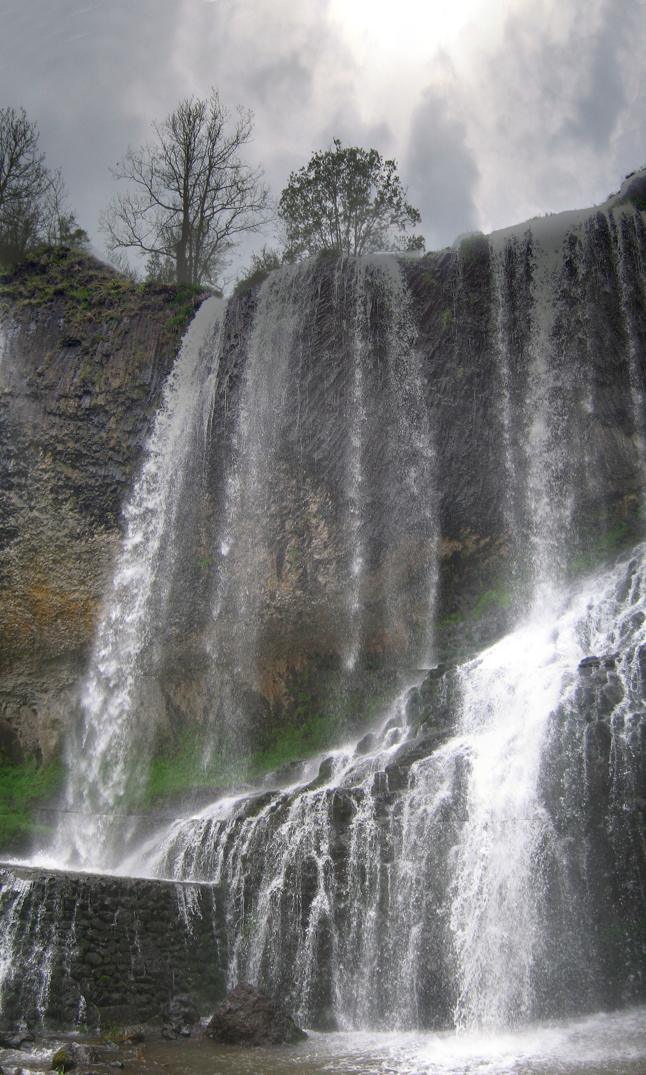
Cascade de la Beaume 2
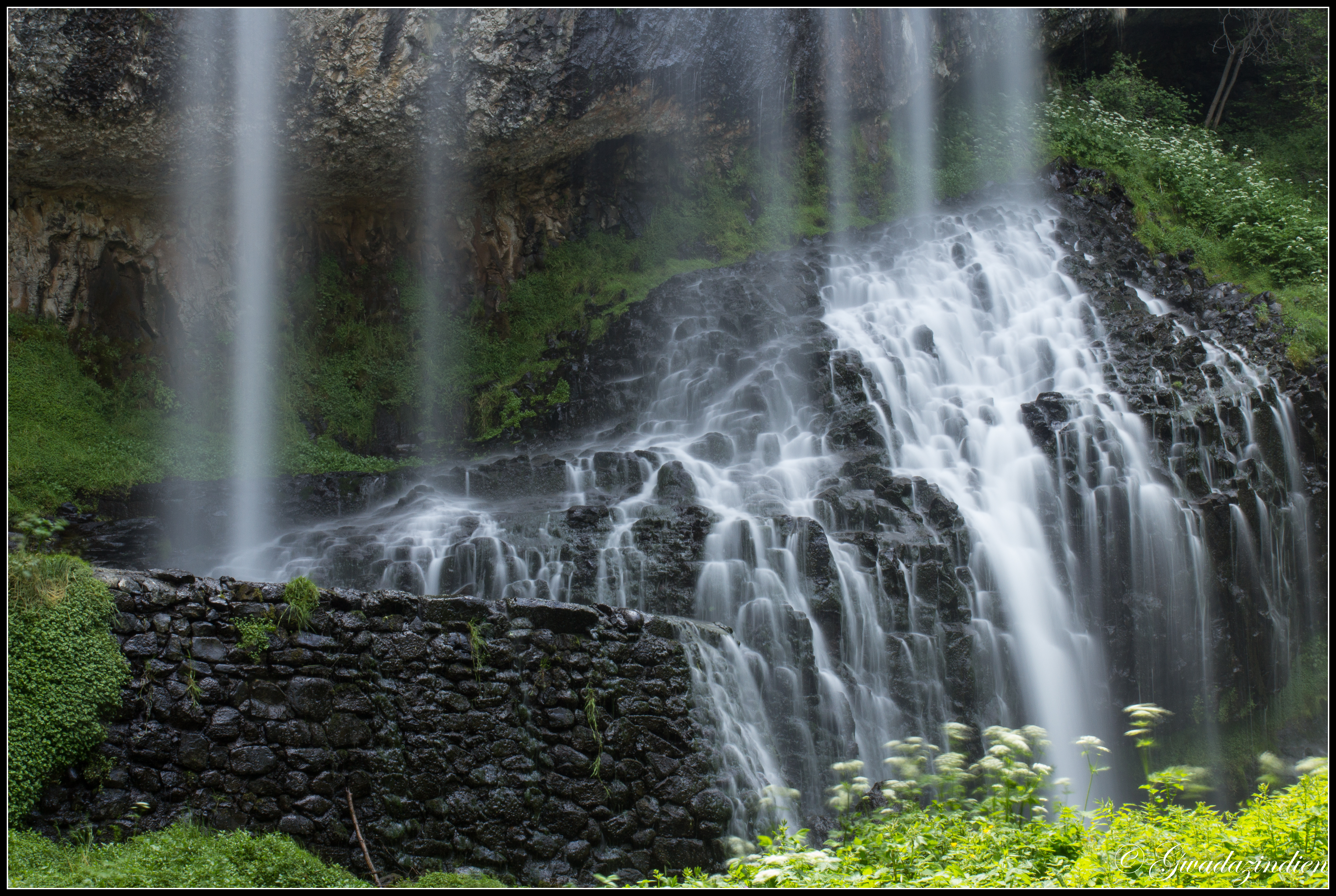
Cascade de la Beaume 4

Le Mézenc , Haute-Loire .
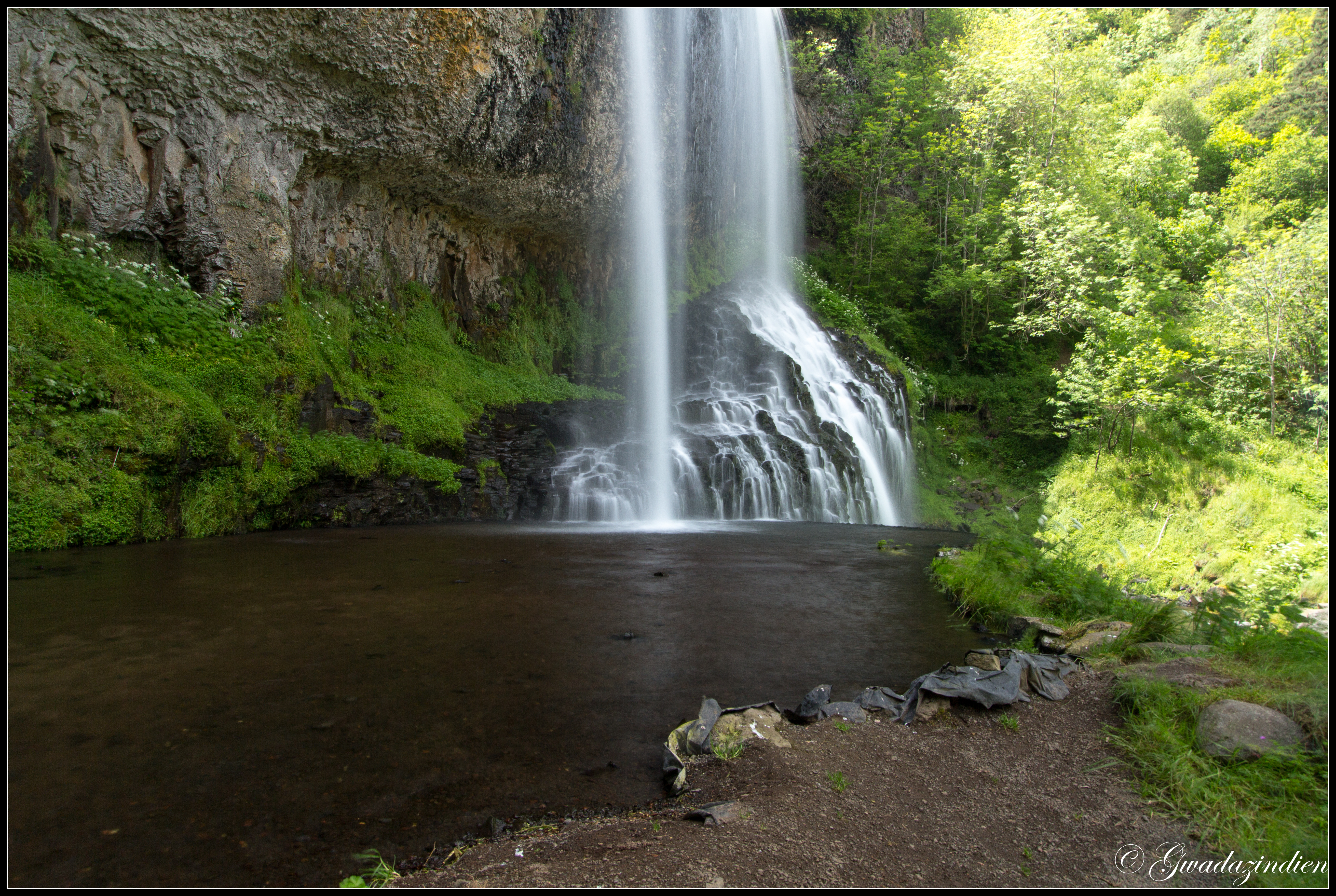
Cascade de la Beaume

Cascade de la Beaume 3
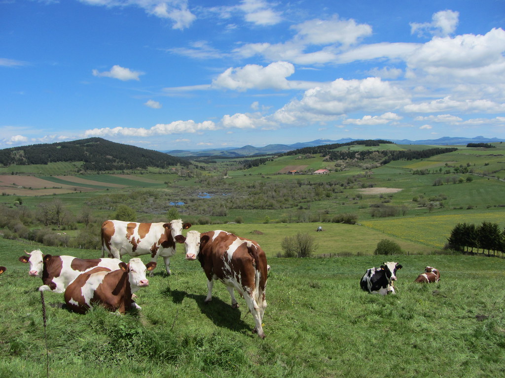
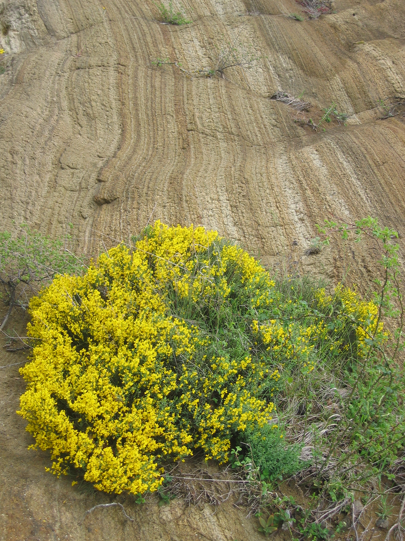
Haute-Auvergne
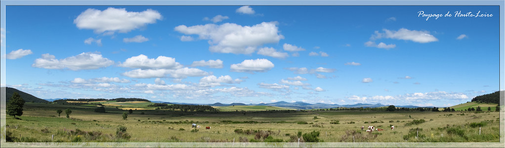
Haute-Loire

a flanc de montagne ....

Les Estables ...

monts d'Ardéche ...

Le soir tombe sur l'Auvergne entre le Cros et Saint Martin de Fugères

monts d'ardéche ...

Monts d'Ardéche ...

Sommet du Mézenc ..

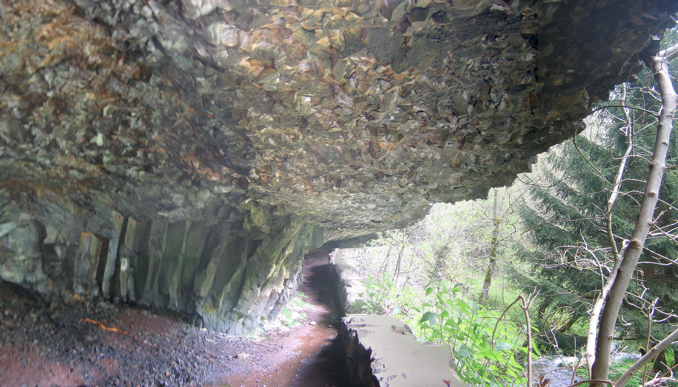
Chemin de Stevenson ..

Les Estables , Haute Loire .

Les Estables ..
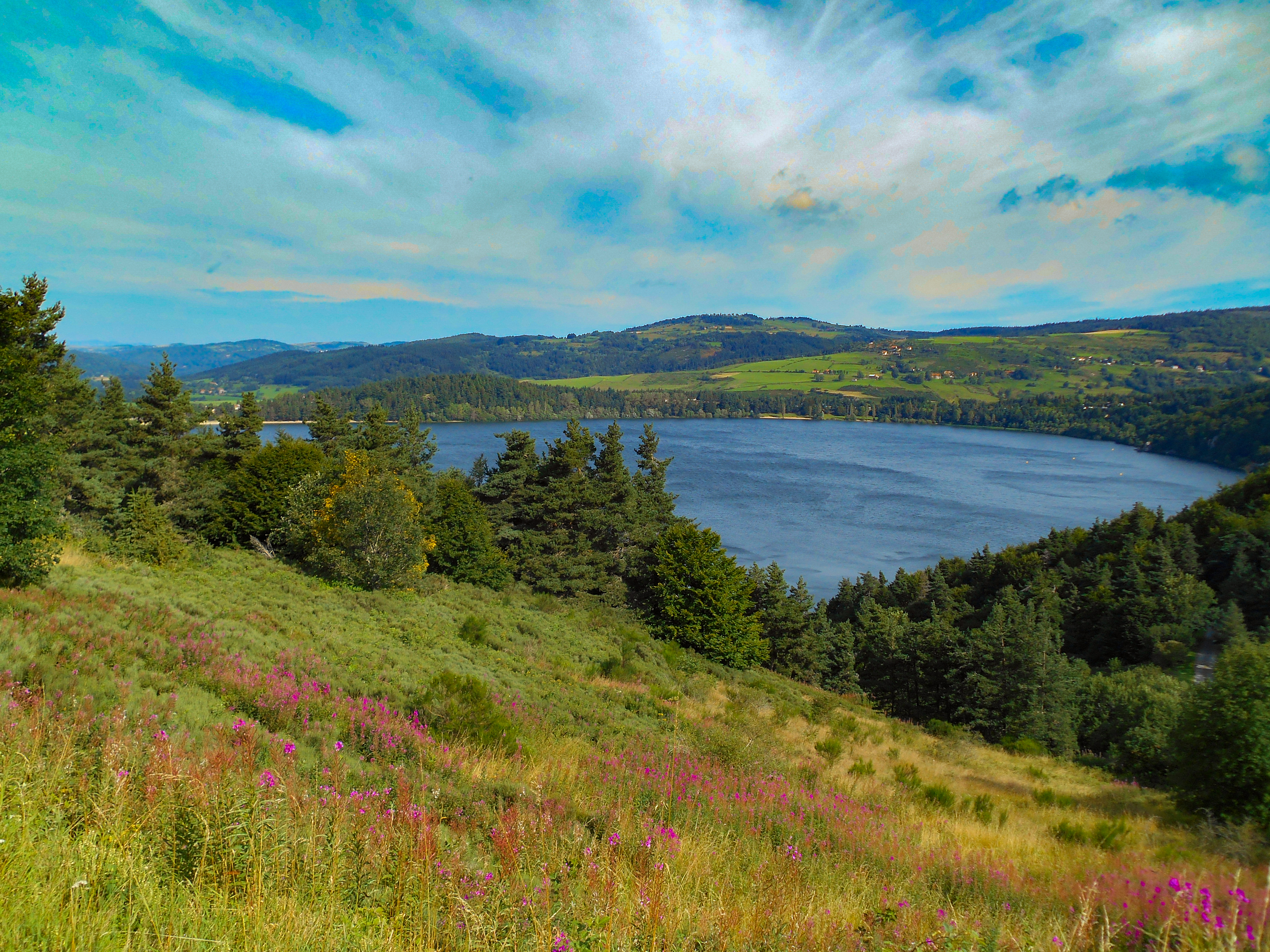
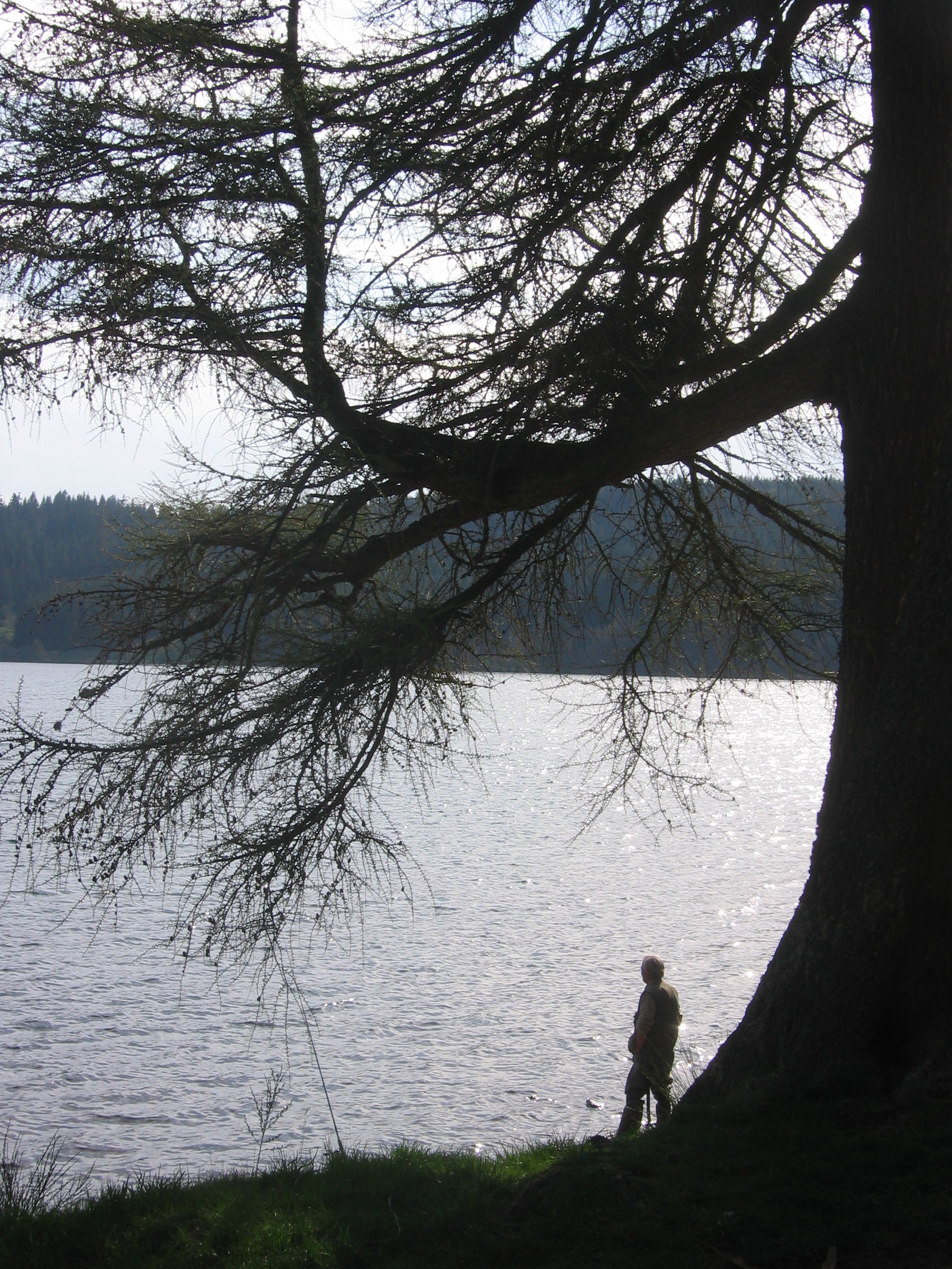
Le lac d'Issarlès en Ardèche.
Topographic Map of Le Bourg, Alleyrac, France
Find elevation by address:

Places near Le Bourg, Alleyrac, France:
Alleyrac
Cussac-sur-loire
88 Avenue du Puy, Pradelles, France
9 Rue Jacques Brel, Cussac-sur-Loire, France
Pradelles
Saint-jean-lachalm
La Croix De Bauzon
Borne
Saint-jean-la-fouillouse
5248f
Aubespeyres, Grandrieu, France
10 Place de la Mairie, Saint-Préjet-d'Allier, France
Saint-préjet-d'allier
Grandrieu
Sablières
Prévenchères
1 La Jaujon, Lablachère, France
Lablachère
Les Vans
12 Le Gras O, Les Vans, France
Recent Searches:
- Elevation of Beall Road, Beall Rd, Florida, USA
- Elevation of Leguwa, Nepal
- Elevation of County Rd, Enterprise, AL, USA
- Elevation of Kolchuginsky District, Vladimir Oblast, Russia
- Elevation of Shustino, Vladimir Oblast, Russia
- Elevation of Lampiasi St, Sarasota, FL, USA
- Elevation of Elwyn Dr, Roanoke Rapids, NC, USA
- Elevation of Congressional Dr, Stevensville, MD, USA
- Elevation of Bellview Rd, McLean, VA, USA
- Elevation of Stage Island Rd, Chatham, MA, USA