Elevation of Aubespeyres, Grandrieu, France
Location: France > Lozère > Grandrieu >
Longitude: 3.6604641
Latitude: 44.7570475
Elevation: 1214m / 3983feet
Barometric Pressure: 88KPa
Elevation Map:
Satellite Map:
Related Photos:
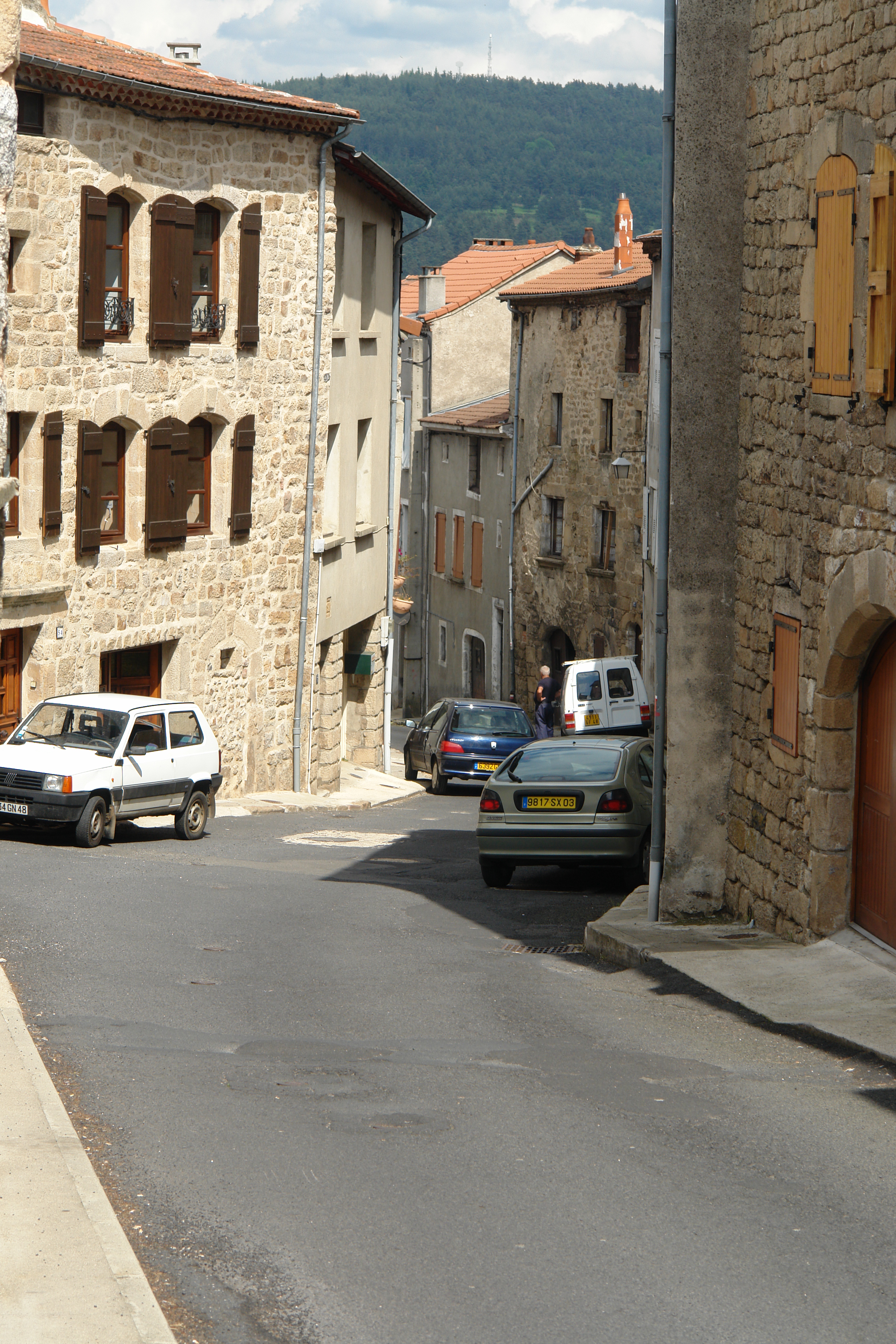
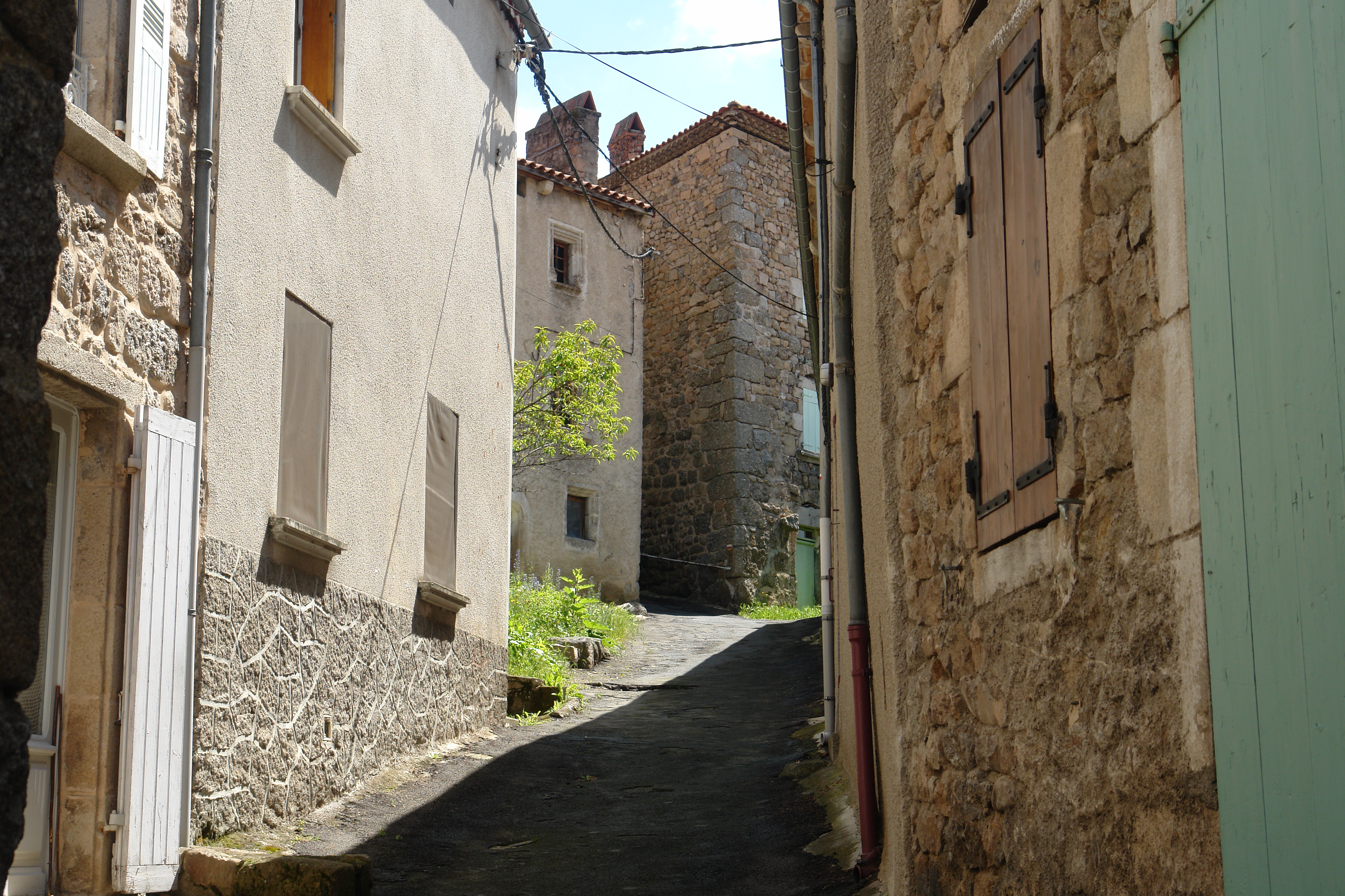
The Rue Haute, Langogne
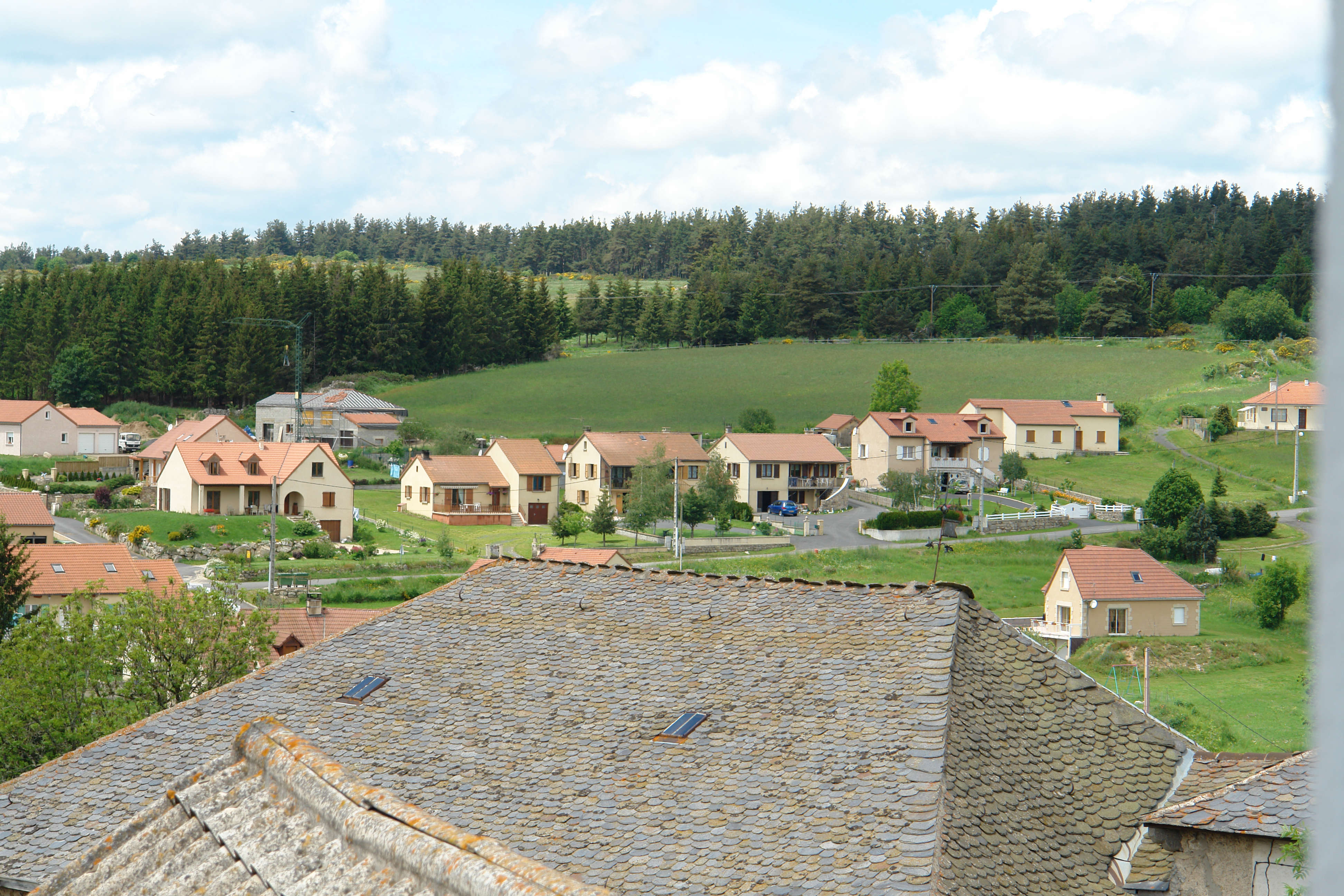
View from my hotel room, Grandrieu
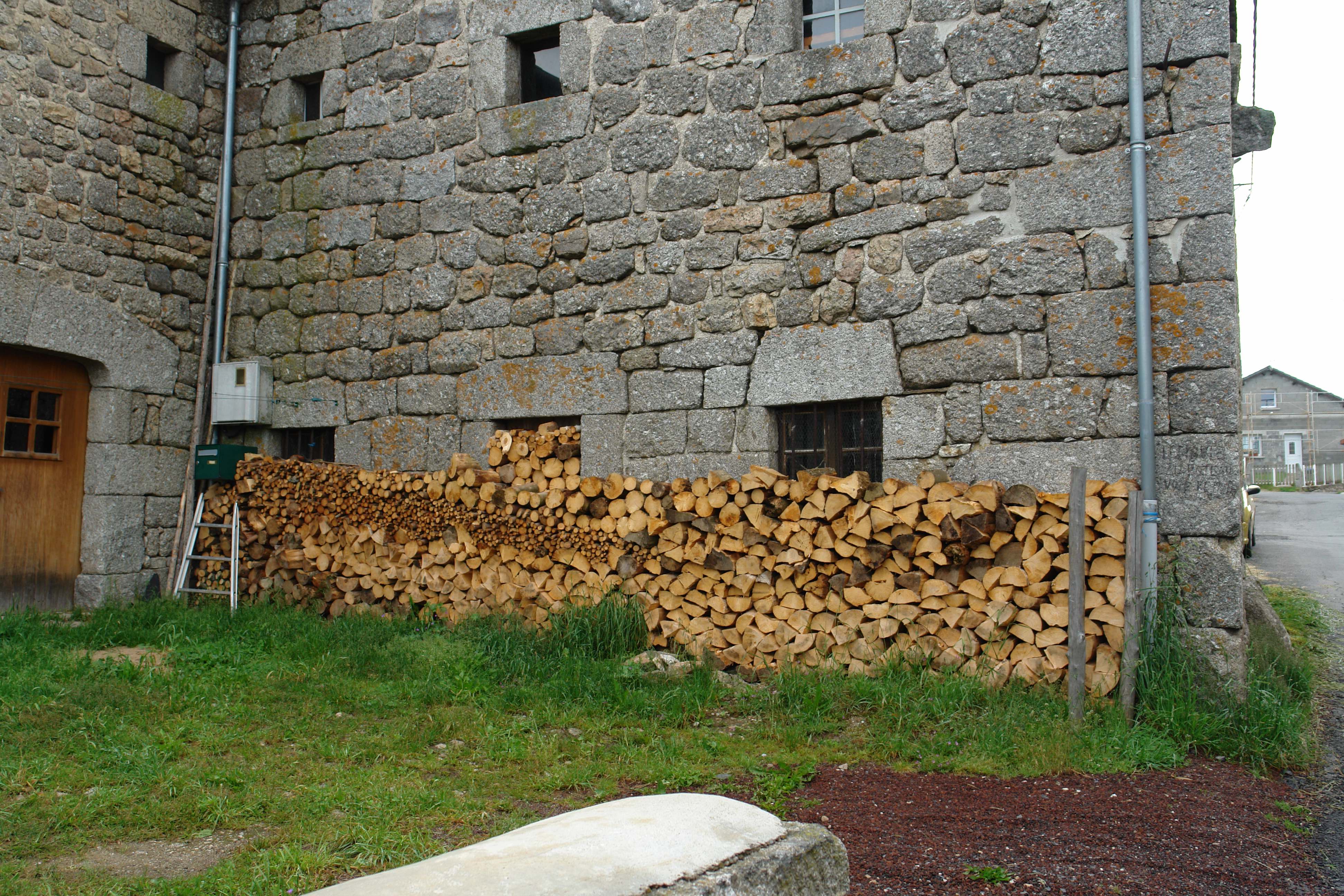
Firewood in Ste Eulalie
IMG_8419.JPG
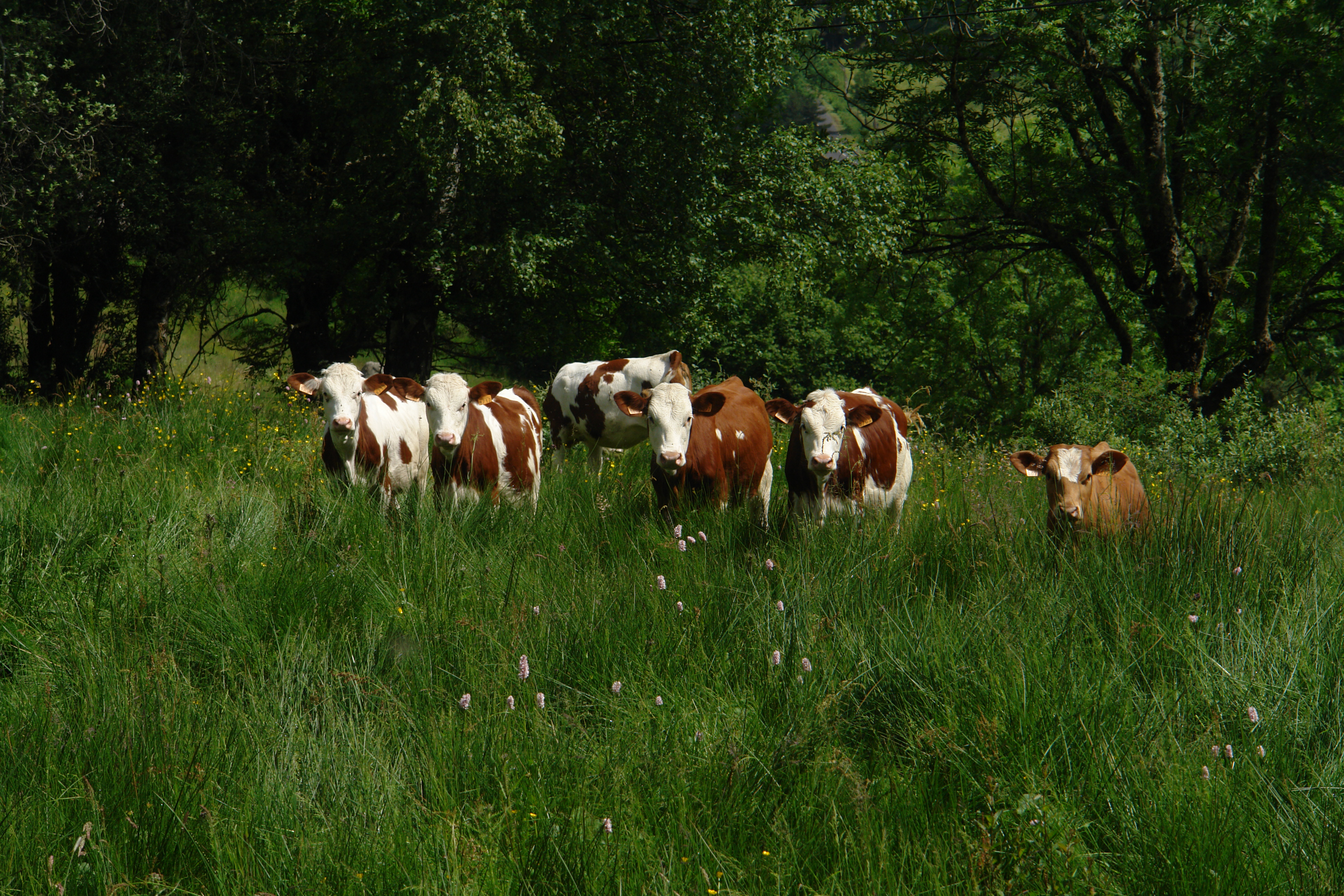
Cows knee deep in grass
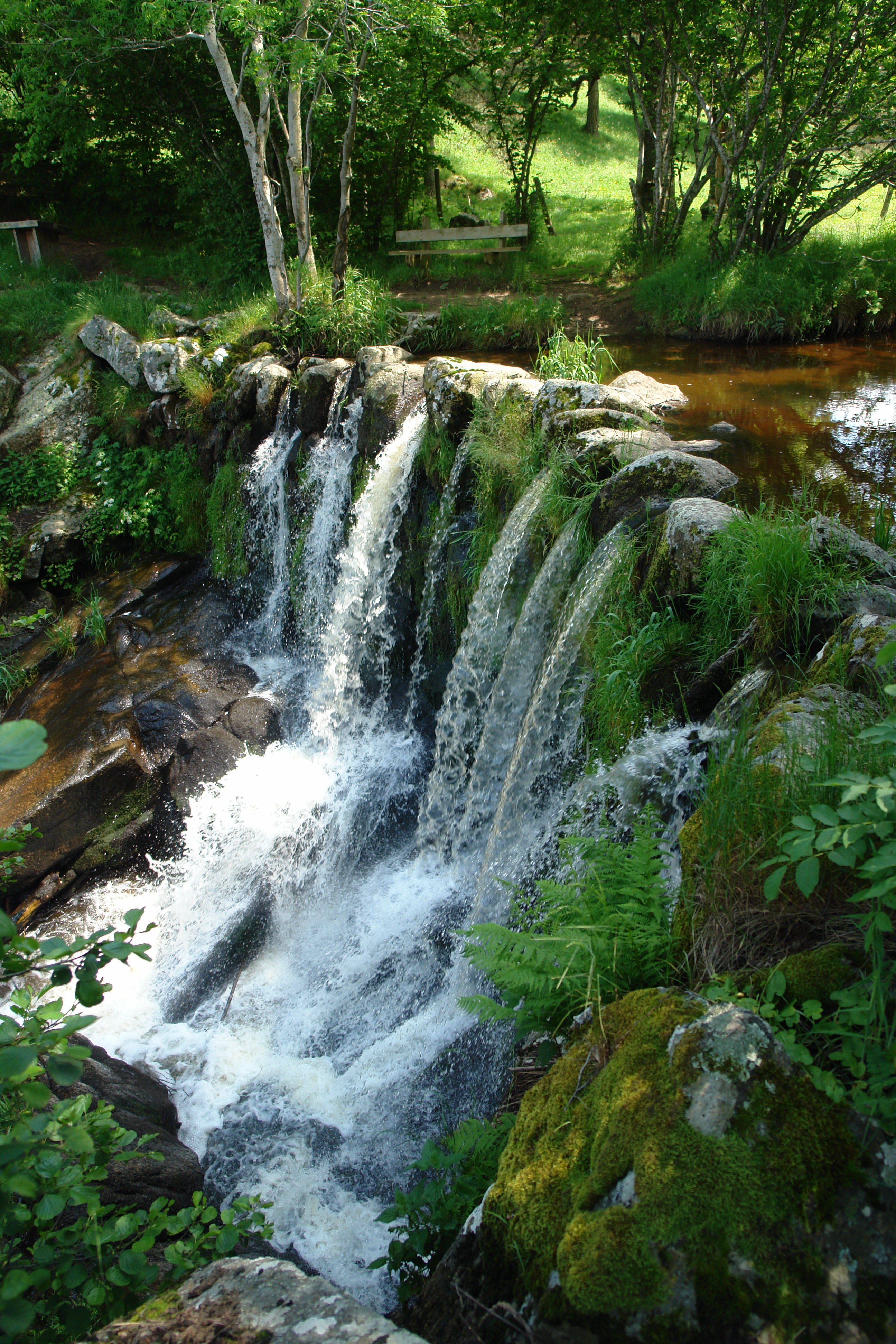
La Cascade aux Fadarelles
In Auroux
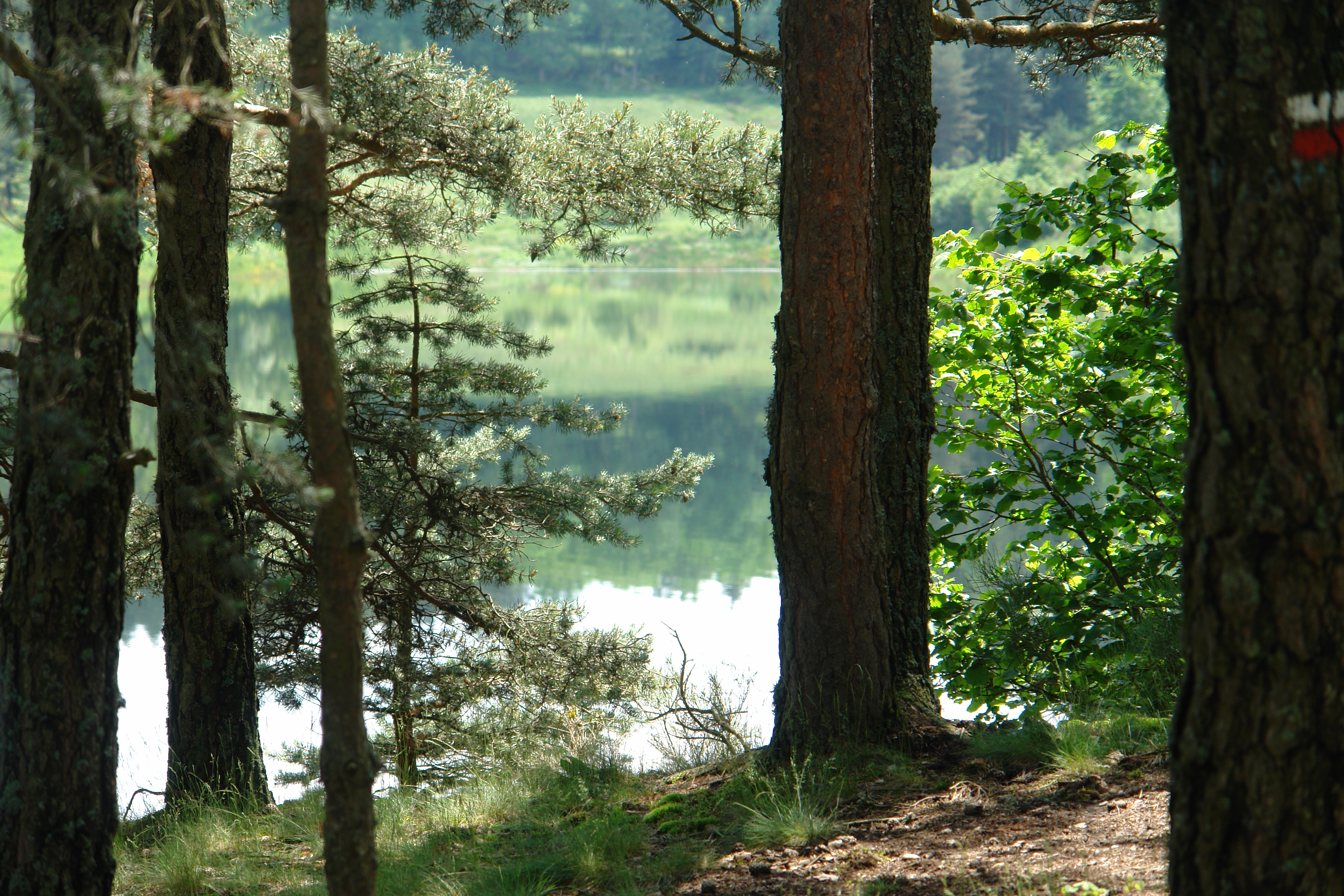
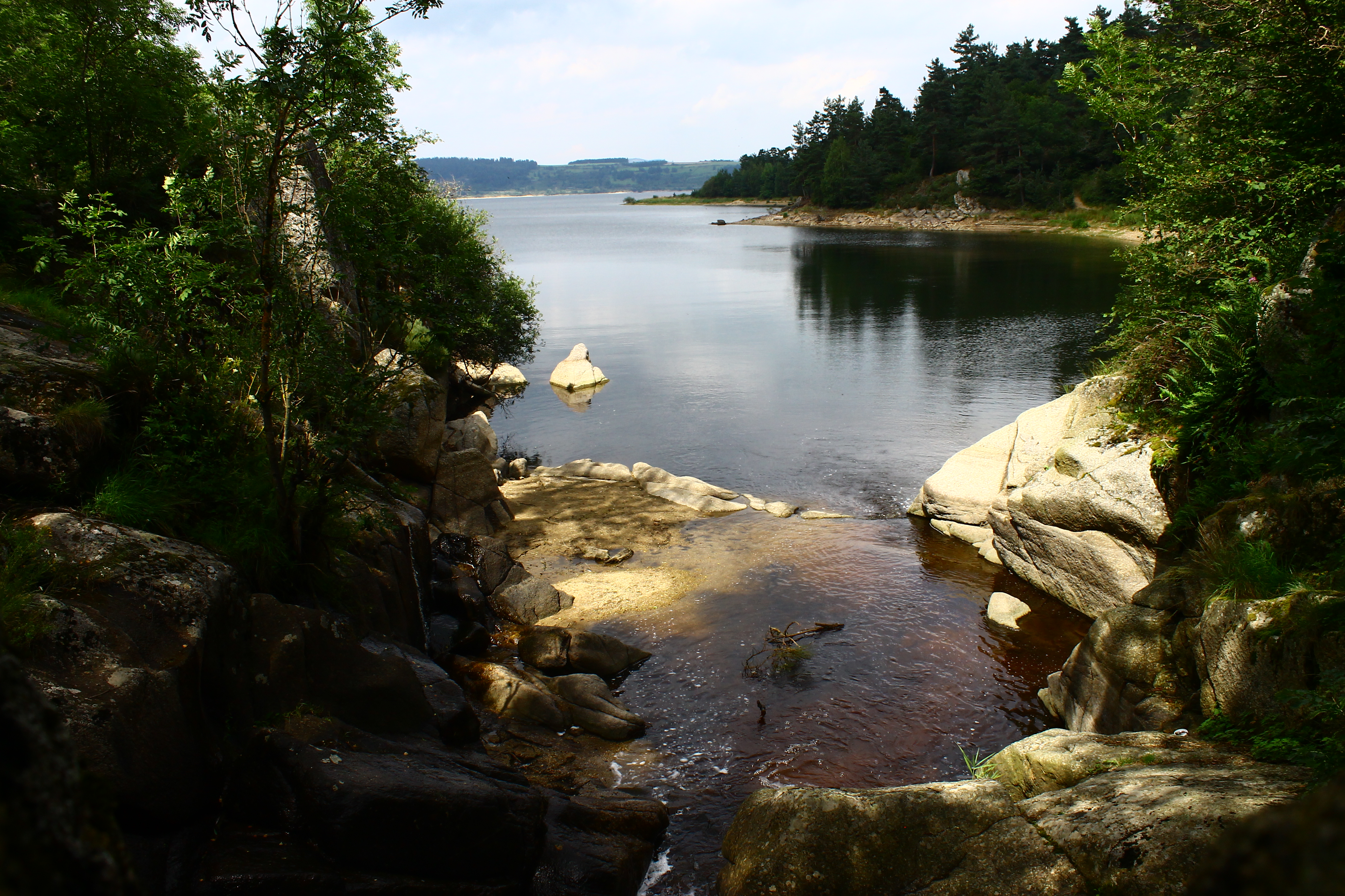
The shore of the lake
On the path to Grandrieu
Walking into Langogne
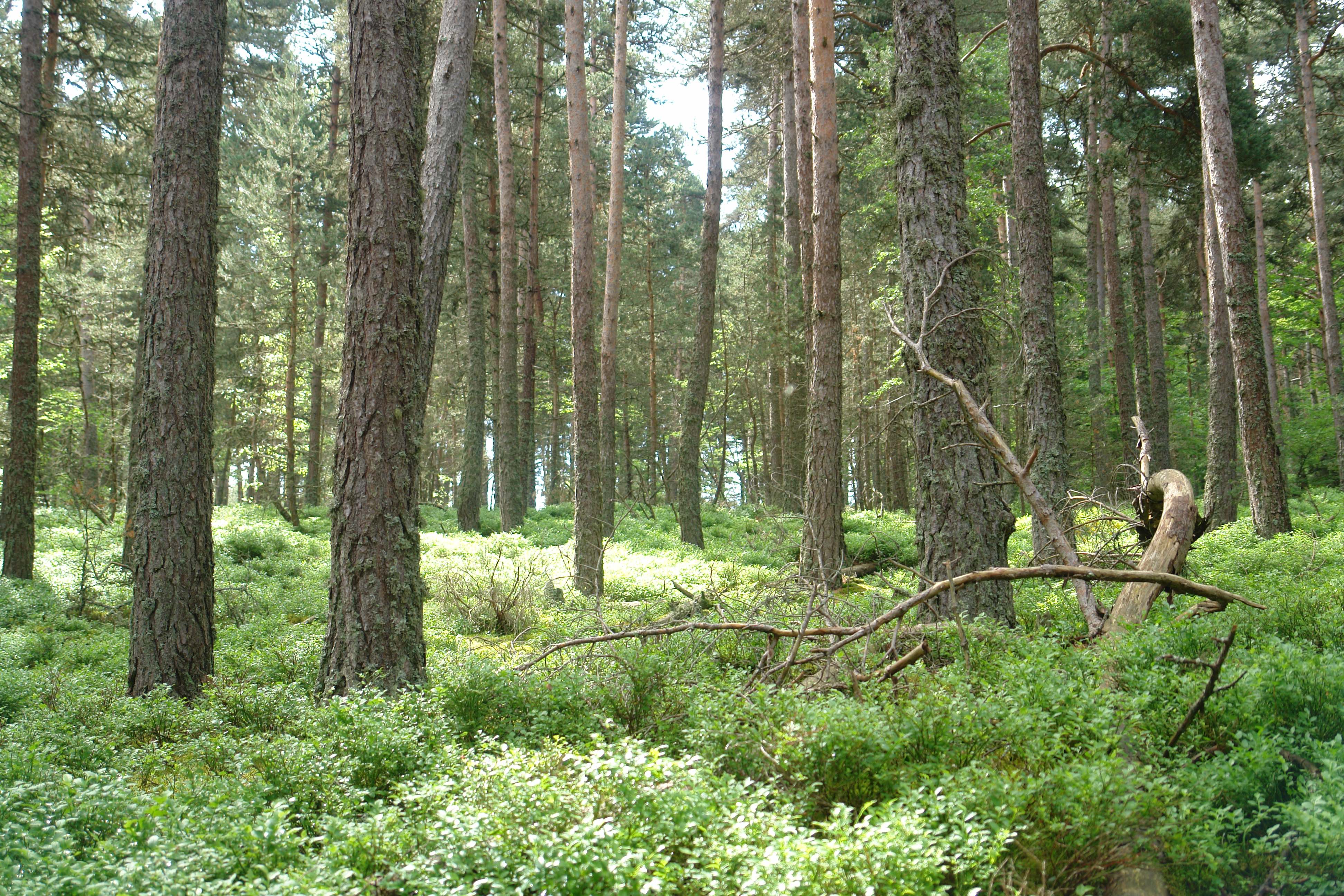
Deep in the Foret de Mercoire
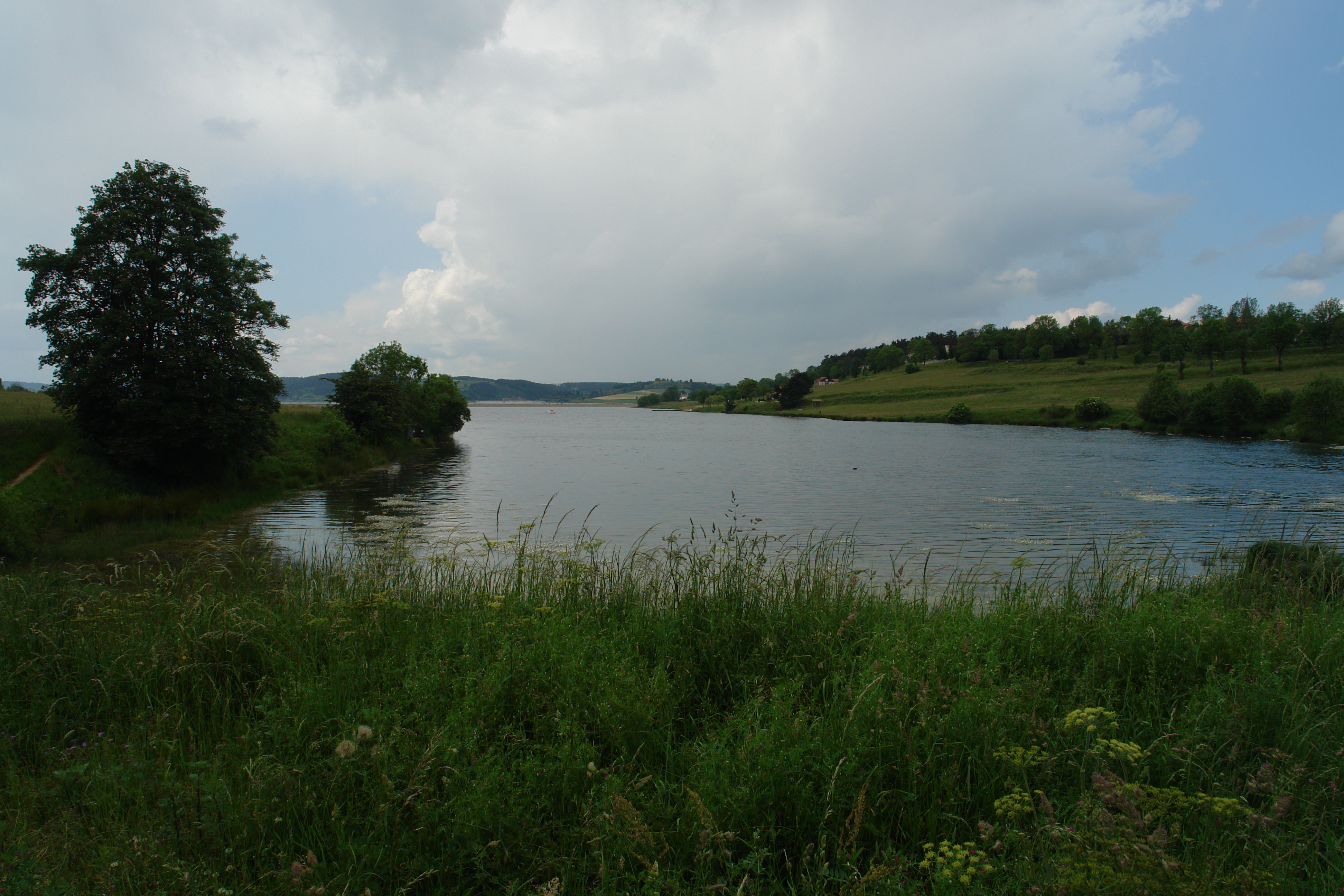
The Barrage de Naussac at Langogne
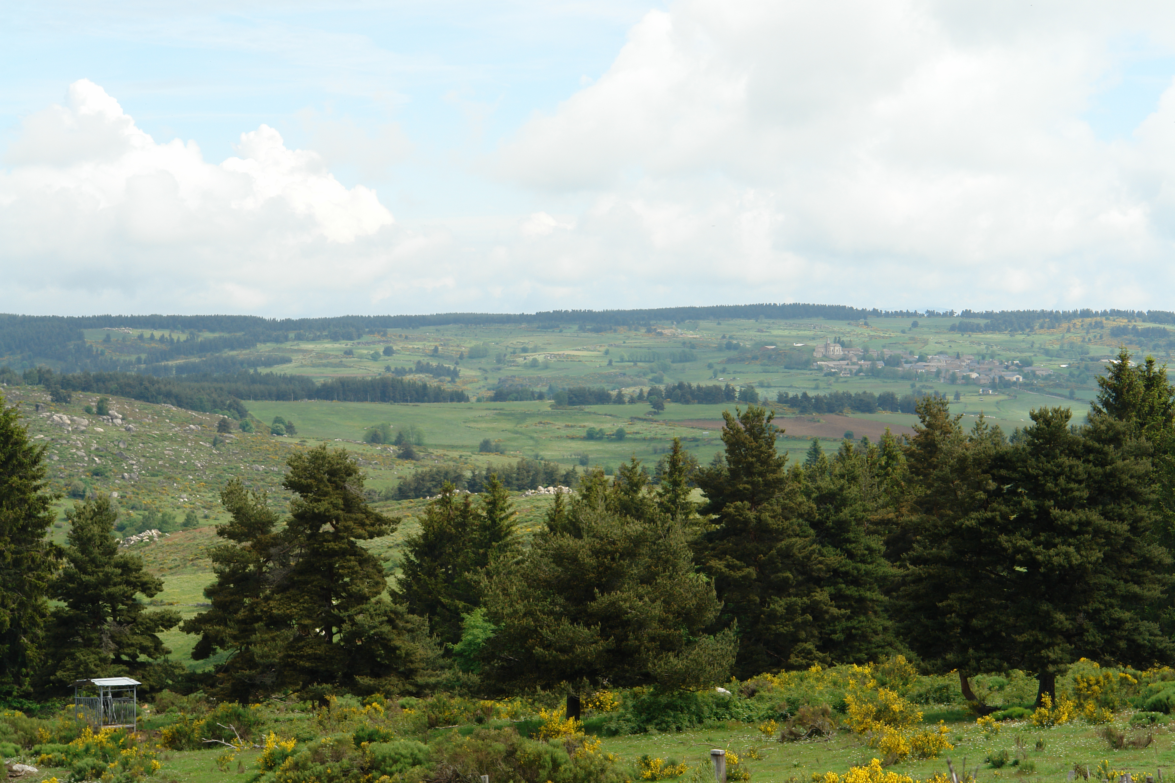
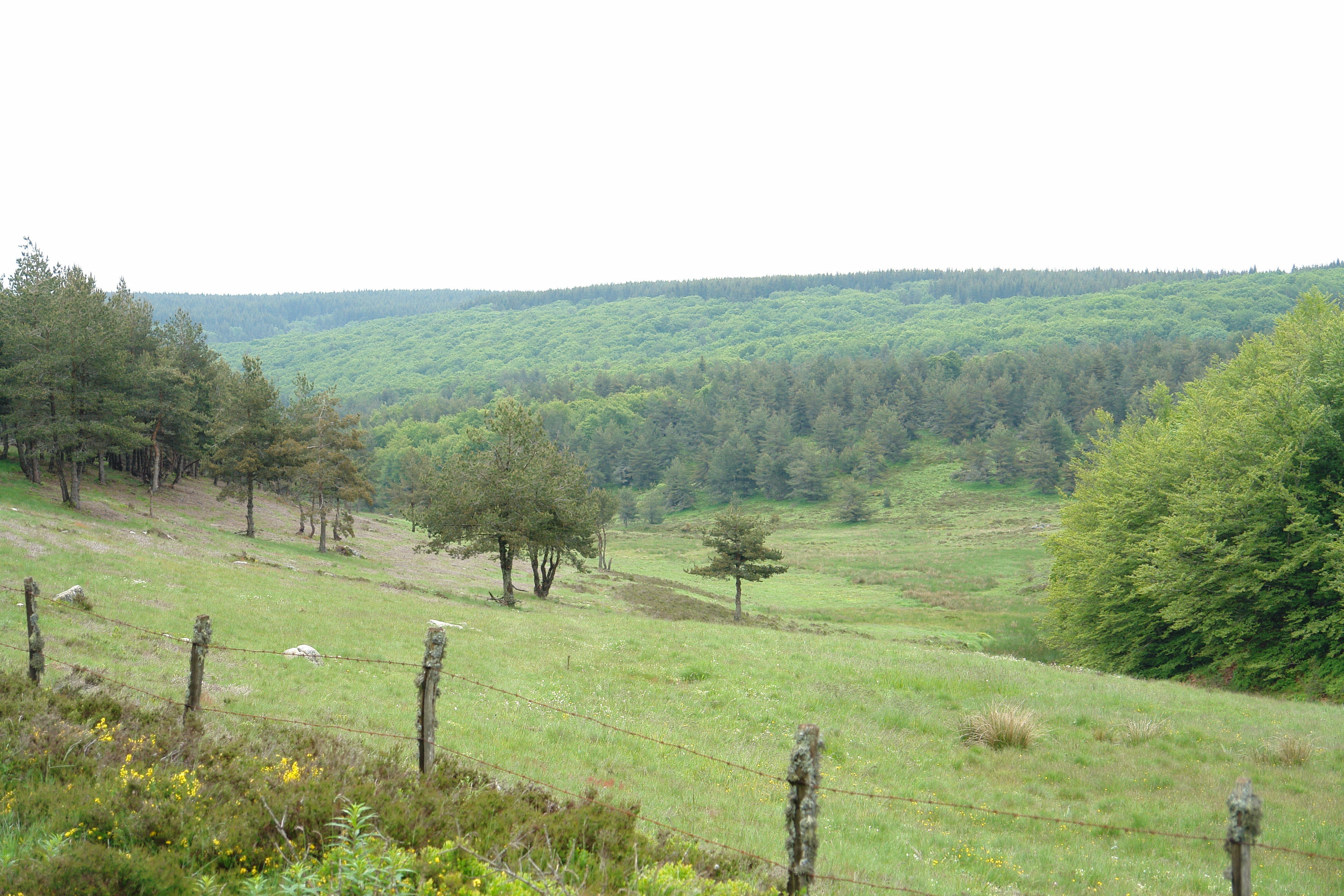
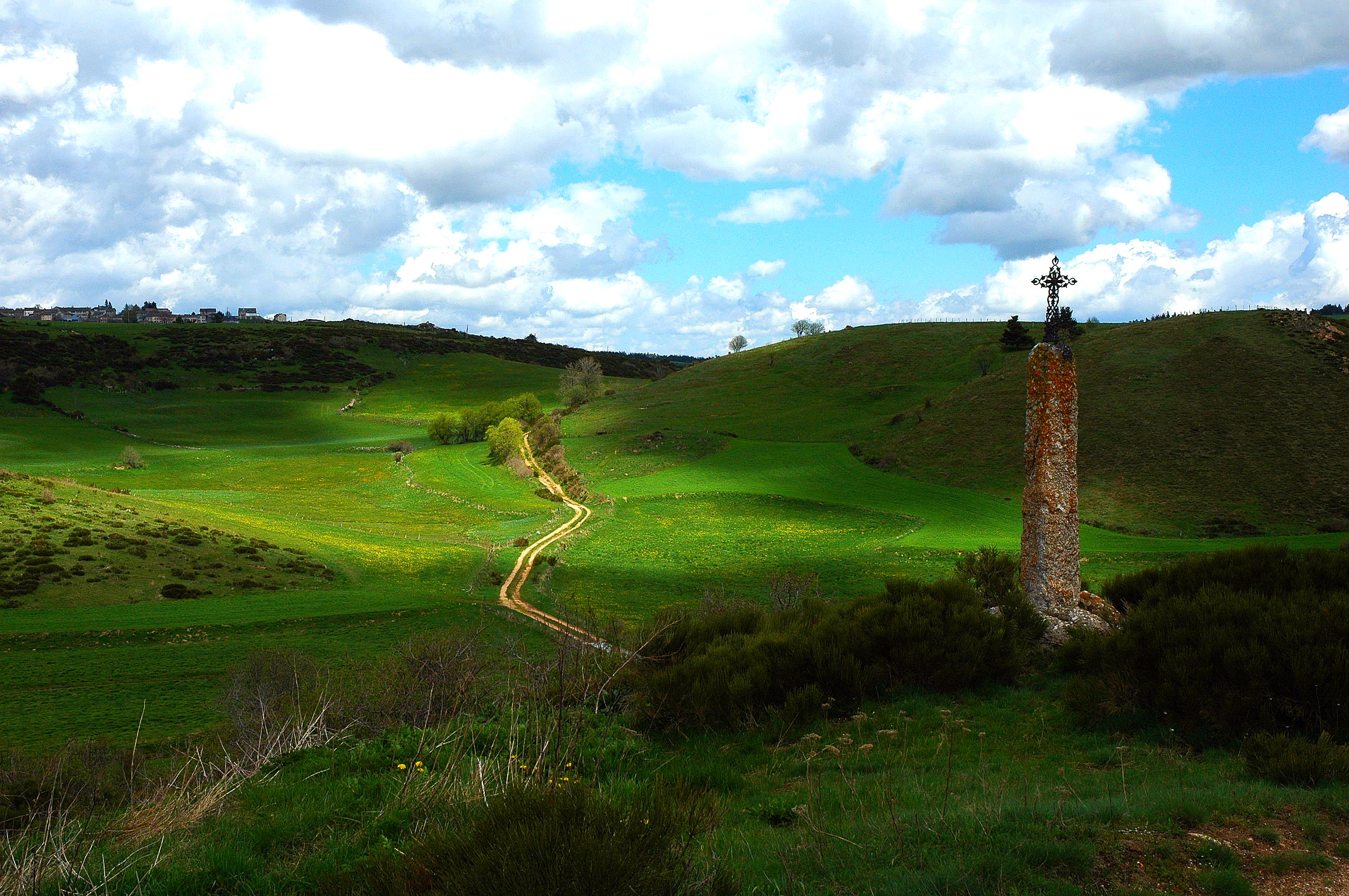
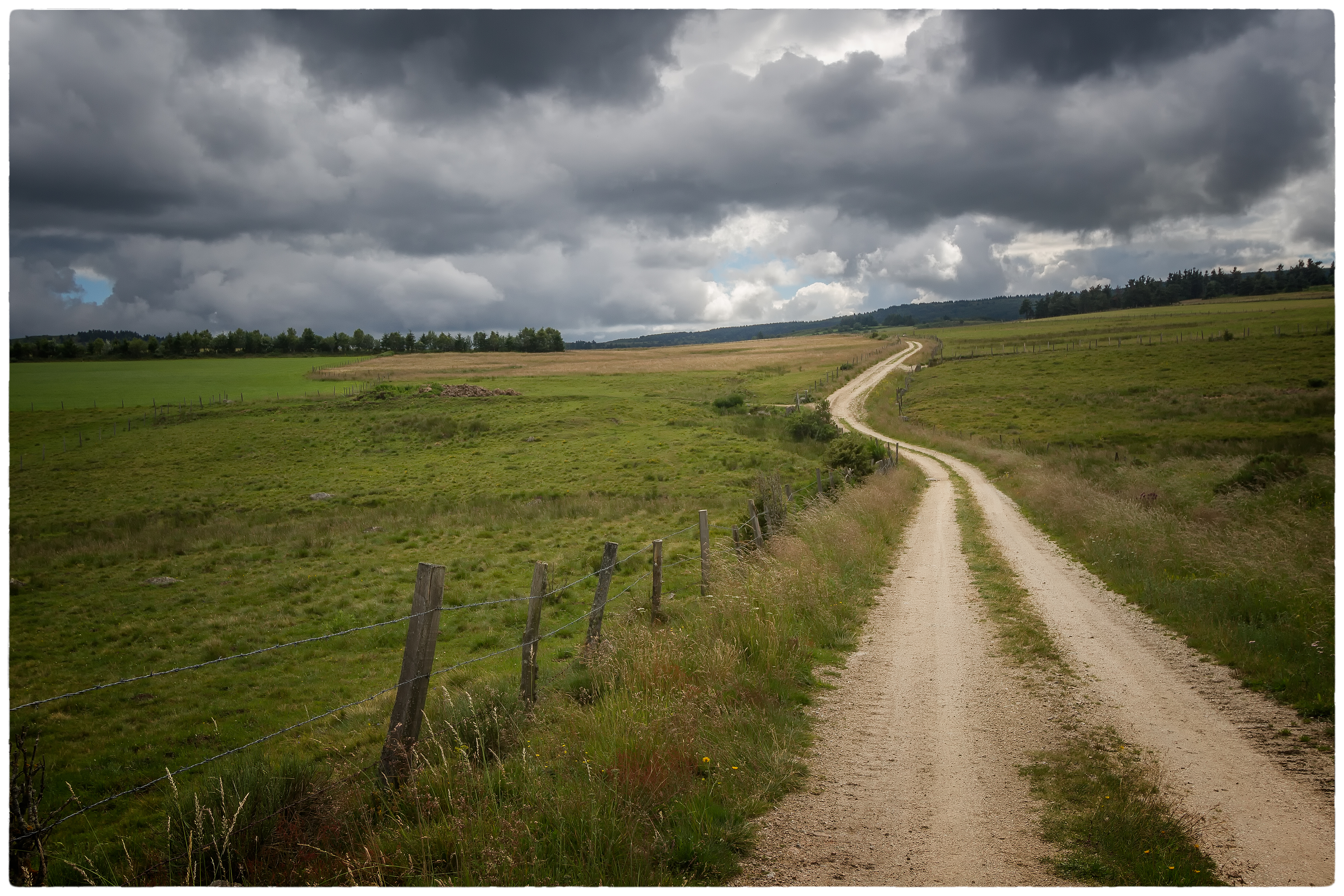
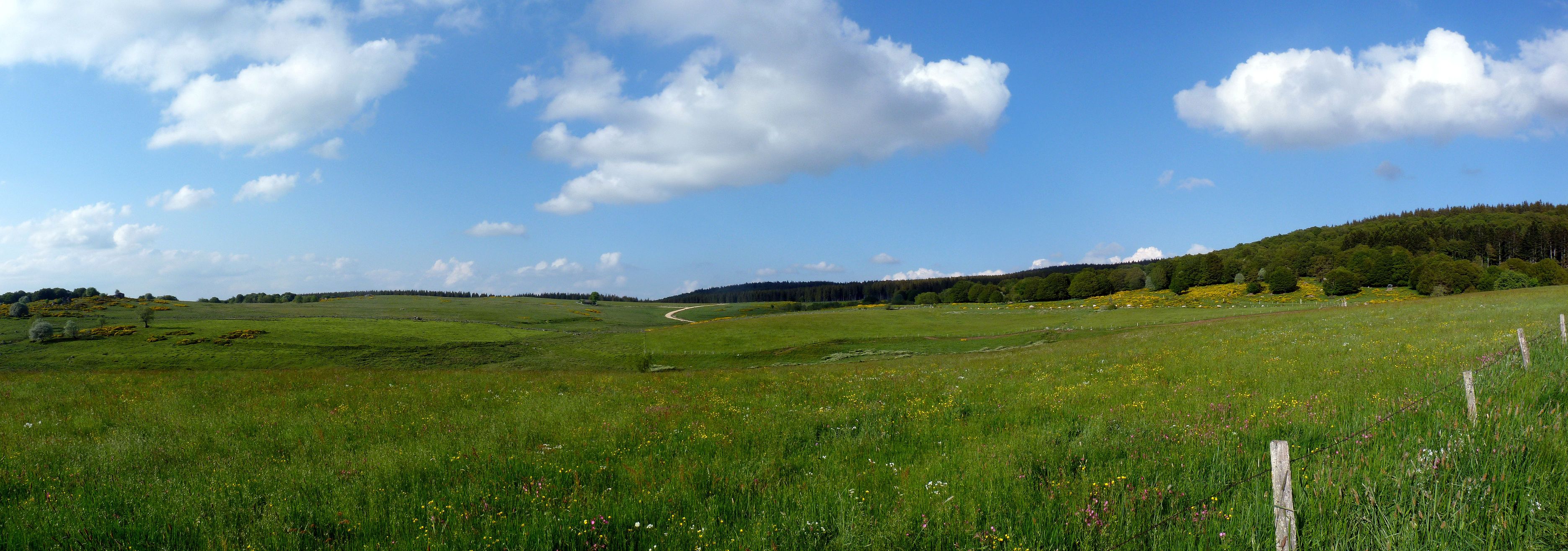
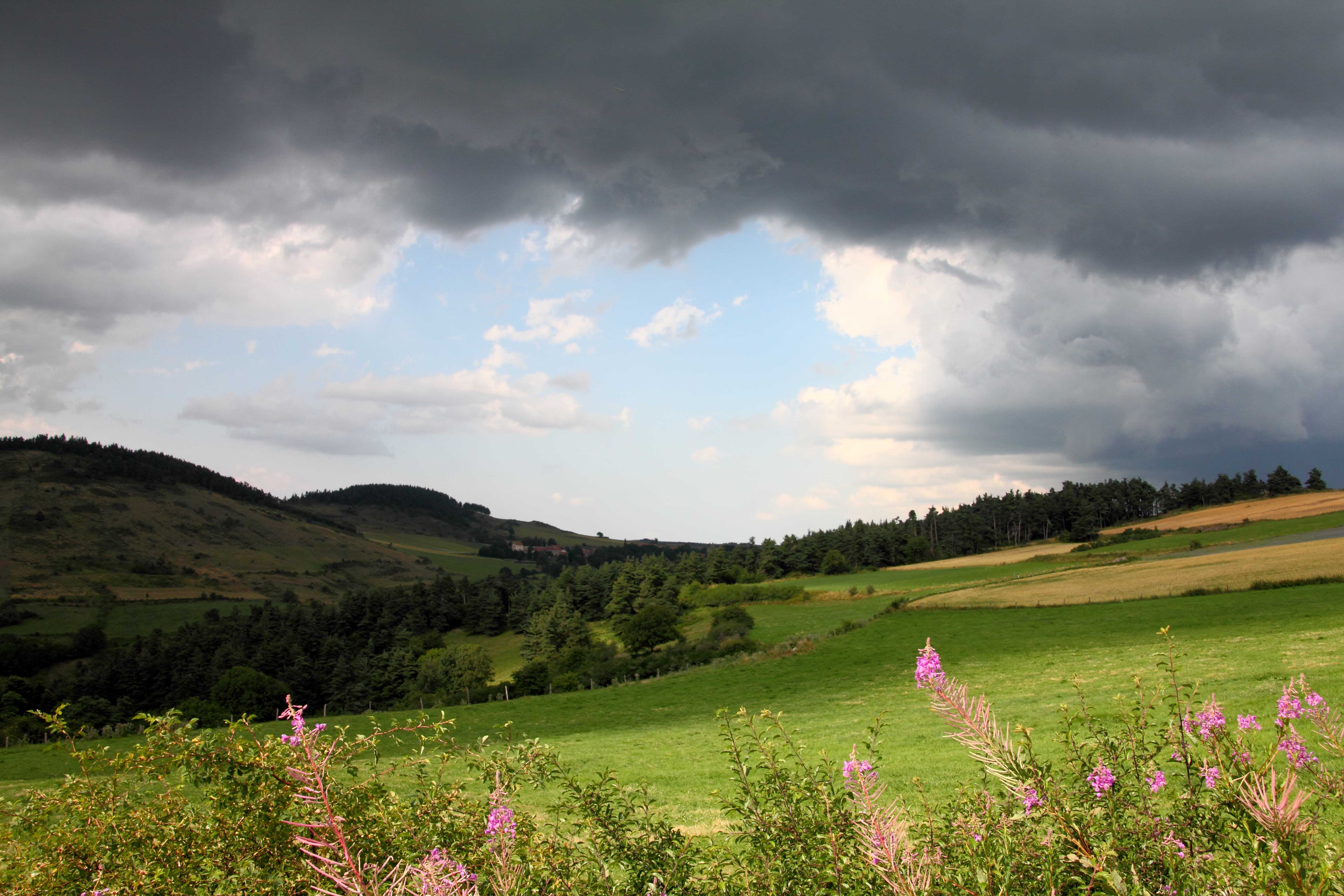
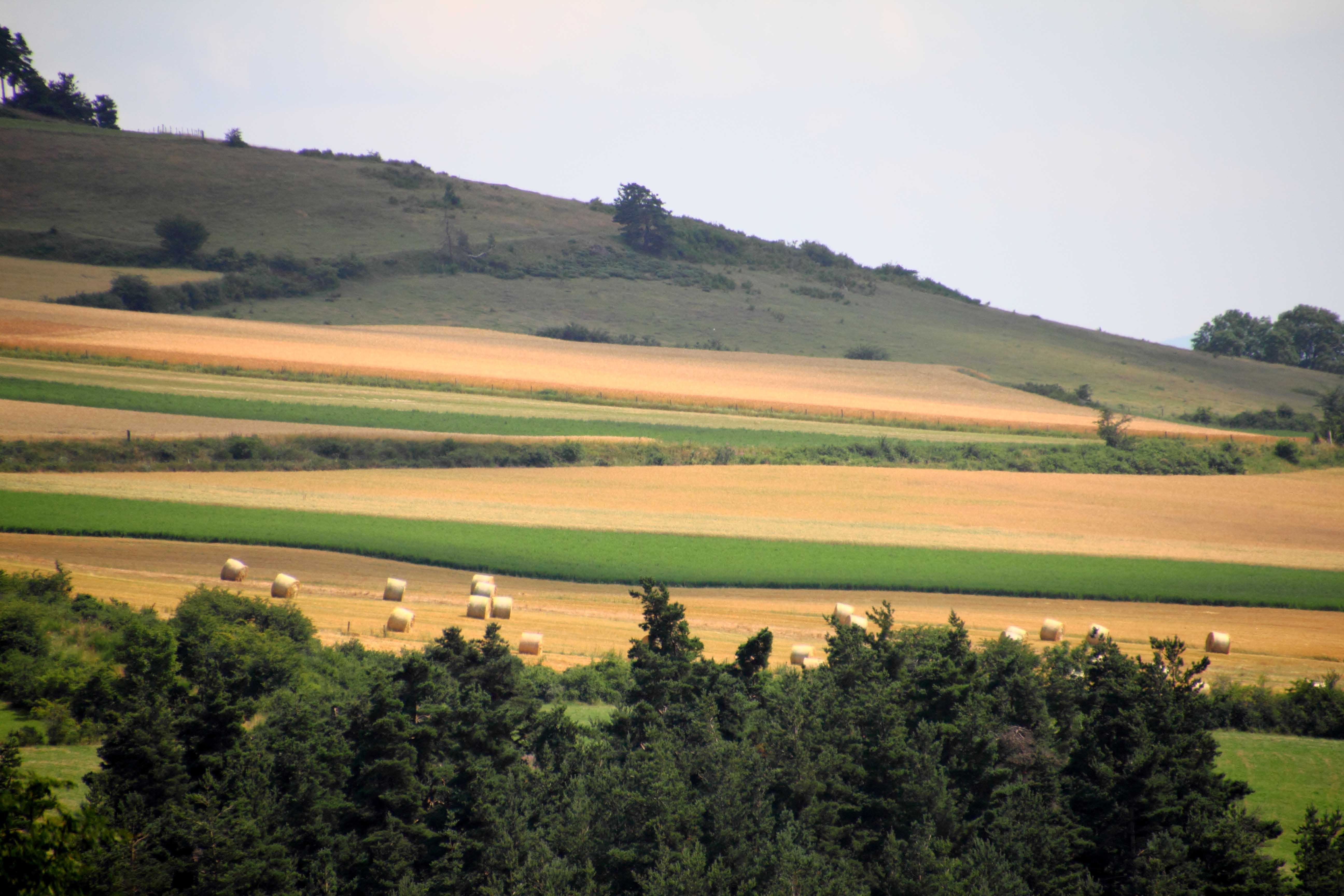
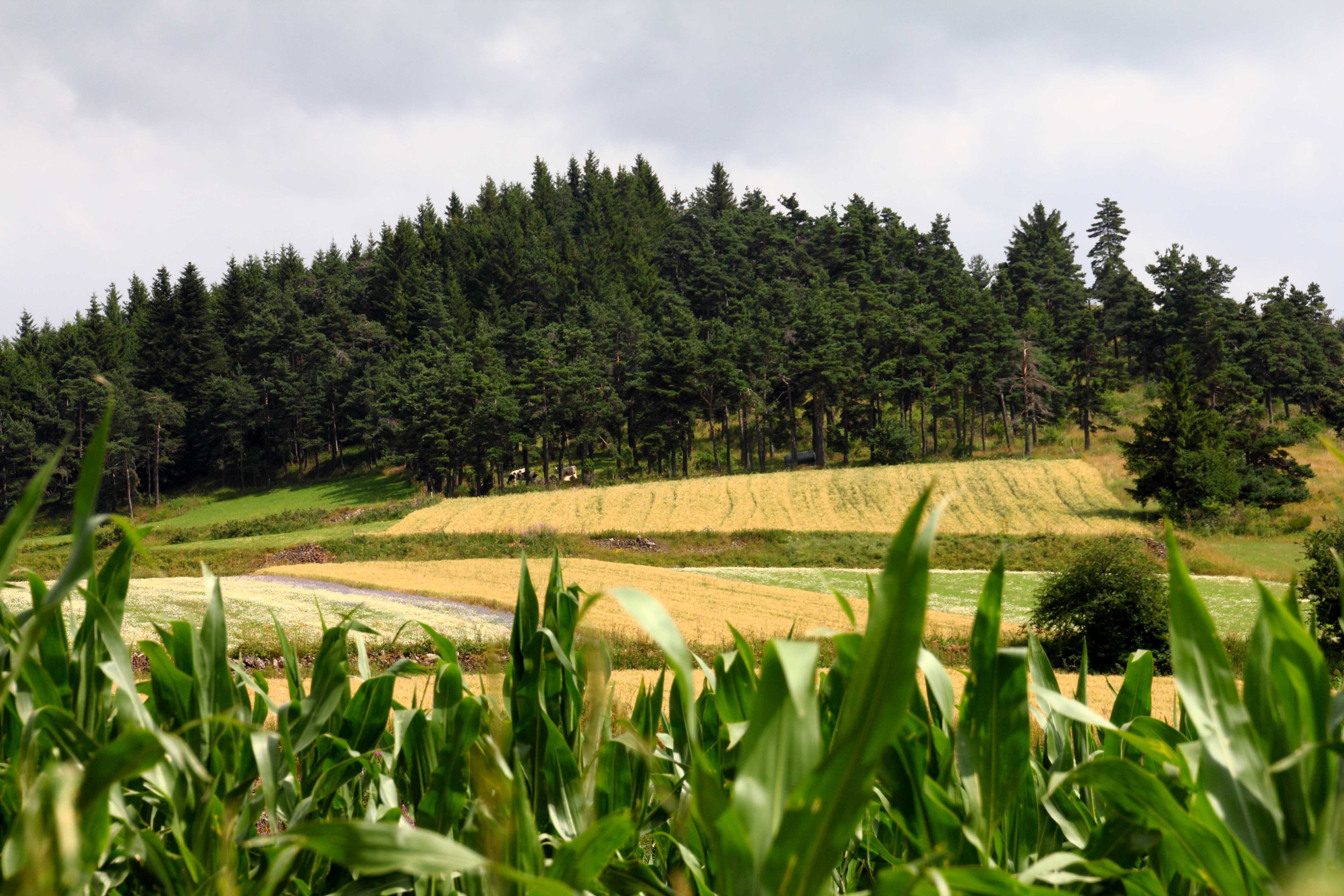
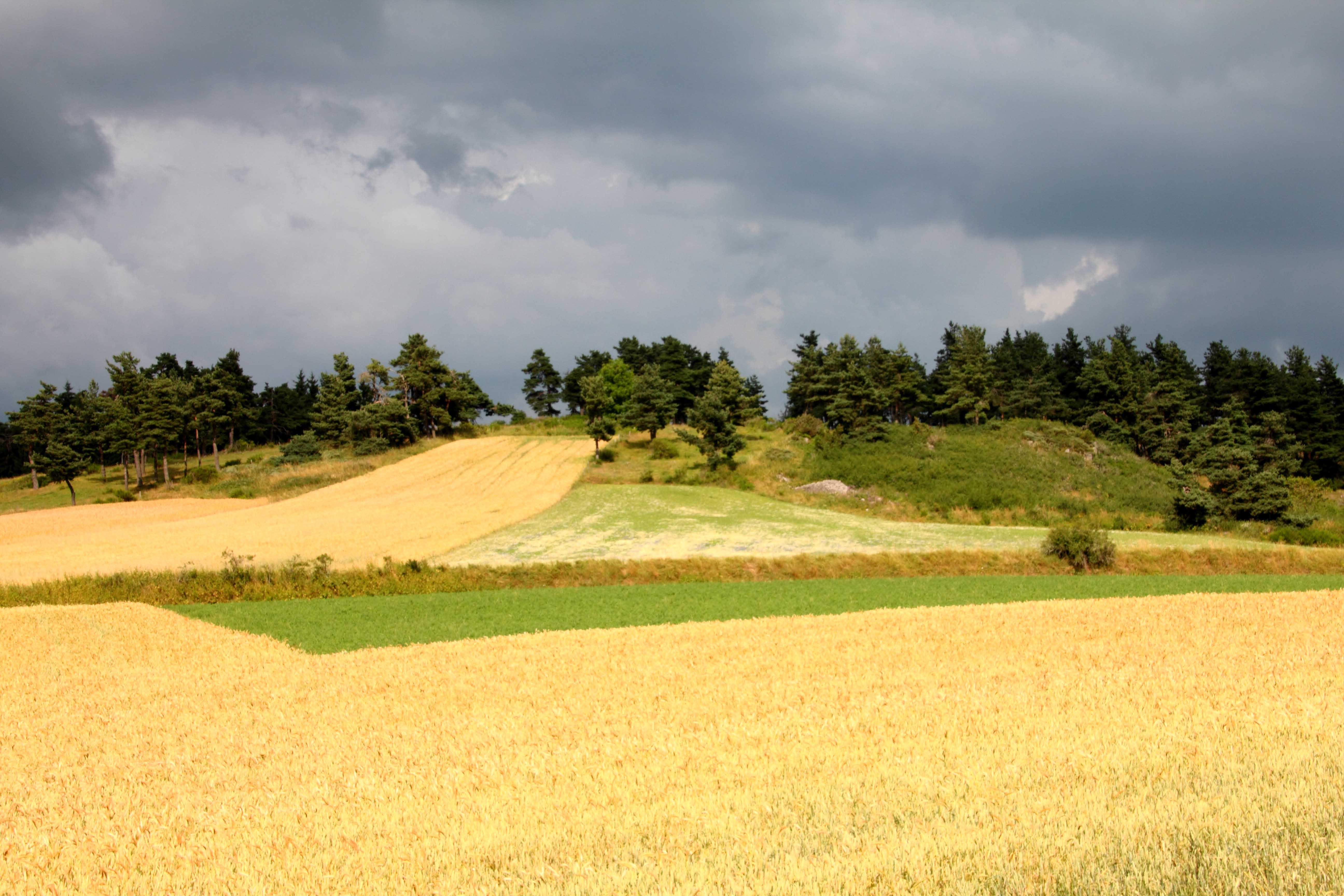
Lozere landscape
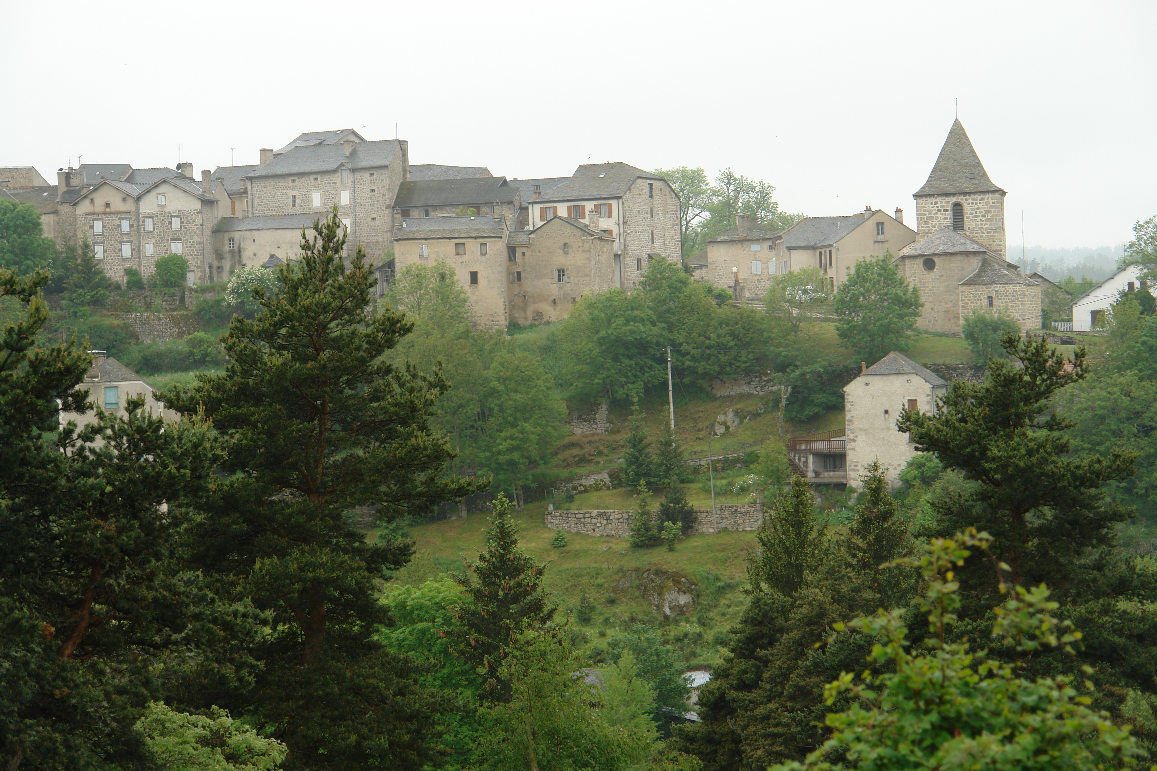
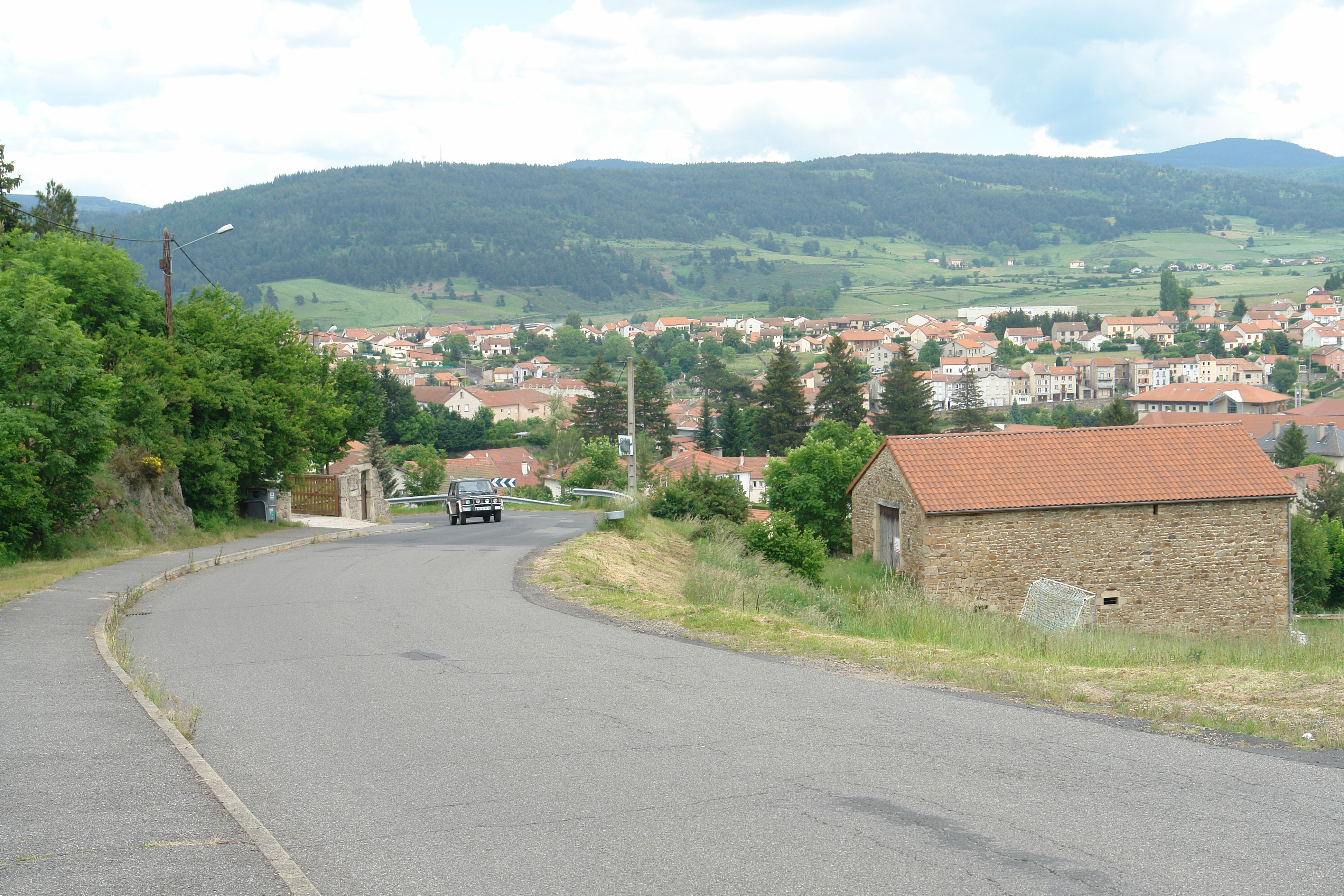
Grandrieu from across the valley
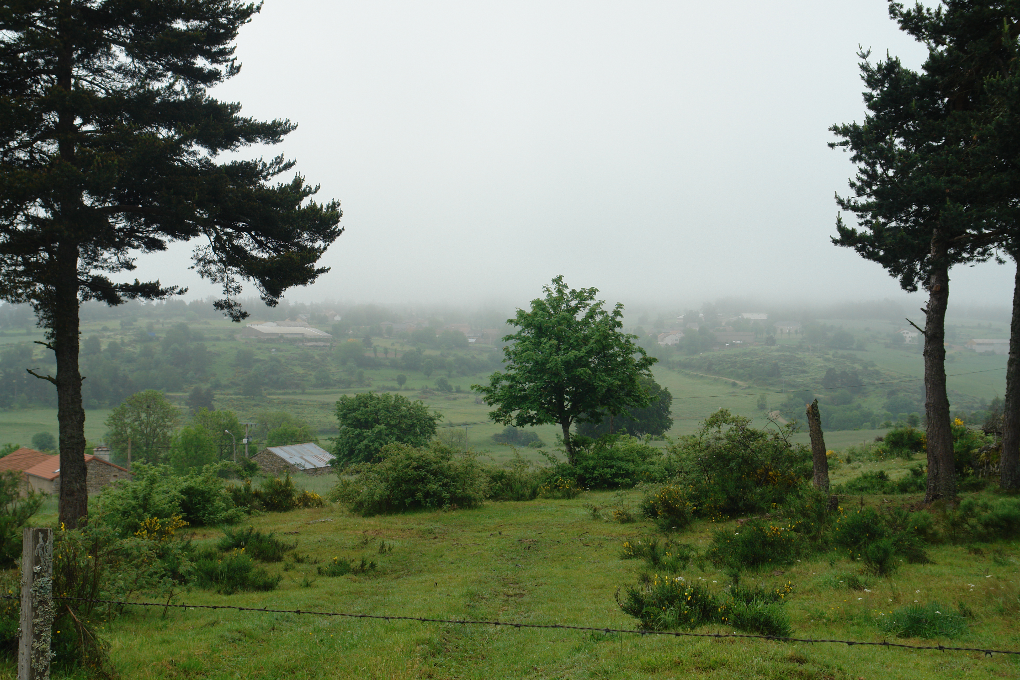
Misty morning near le Masel
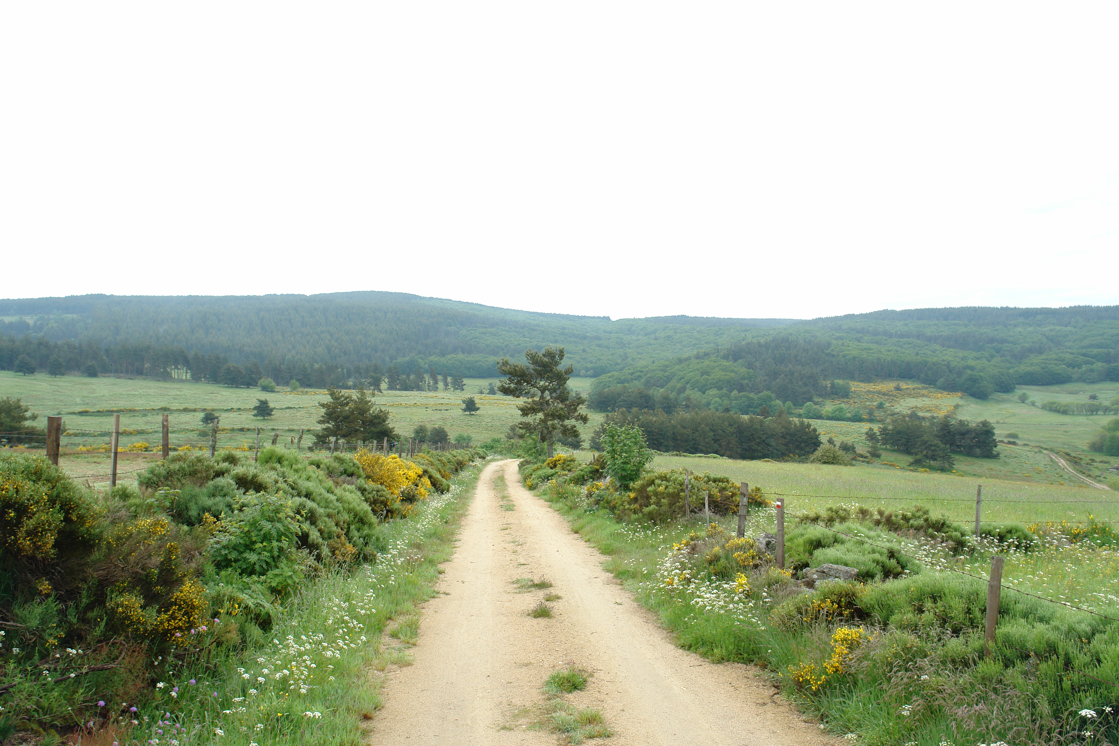
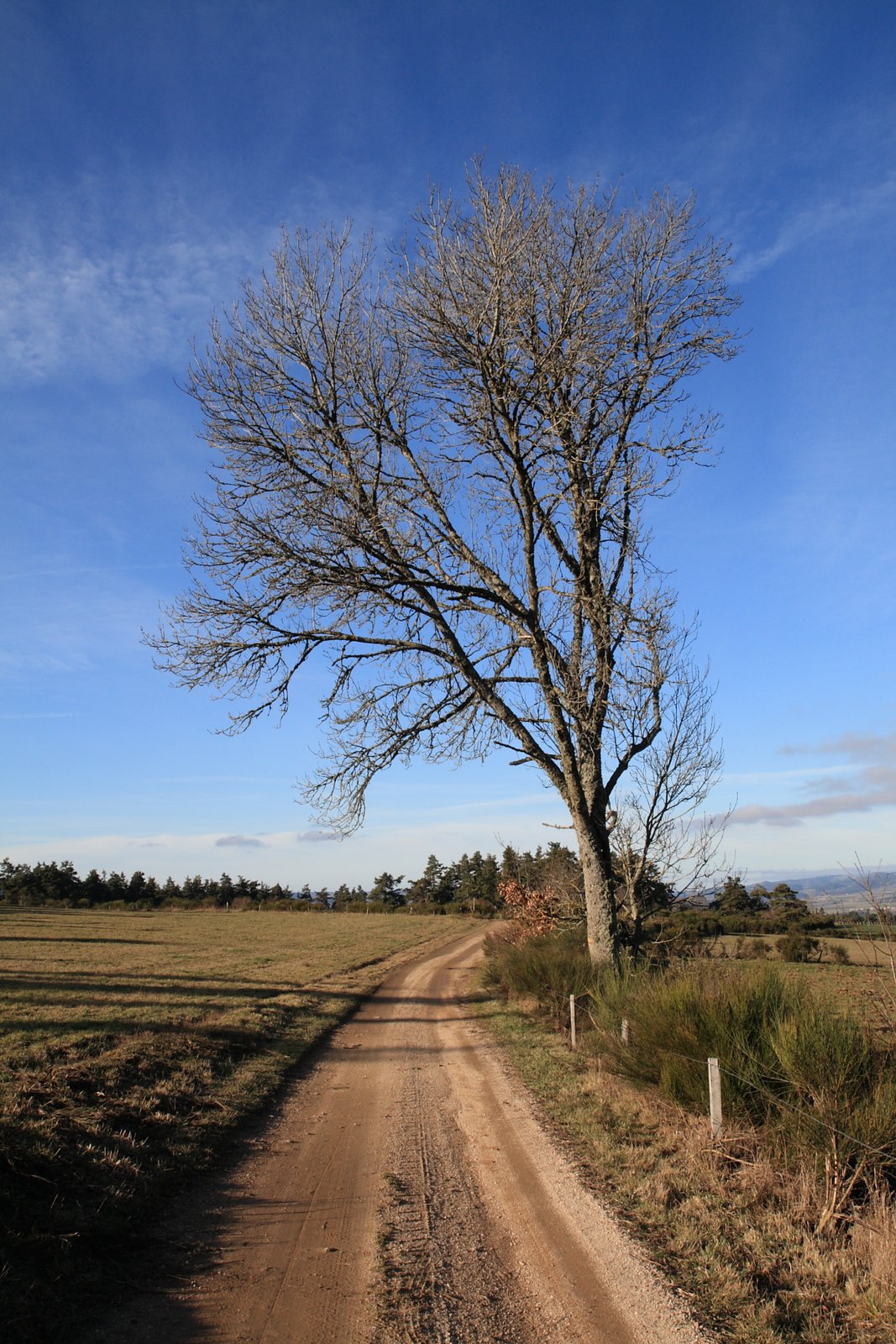
The path to Grandrieu
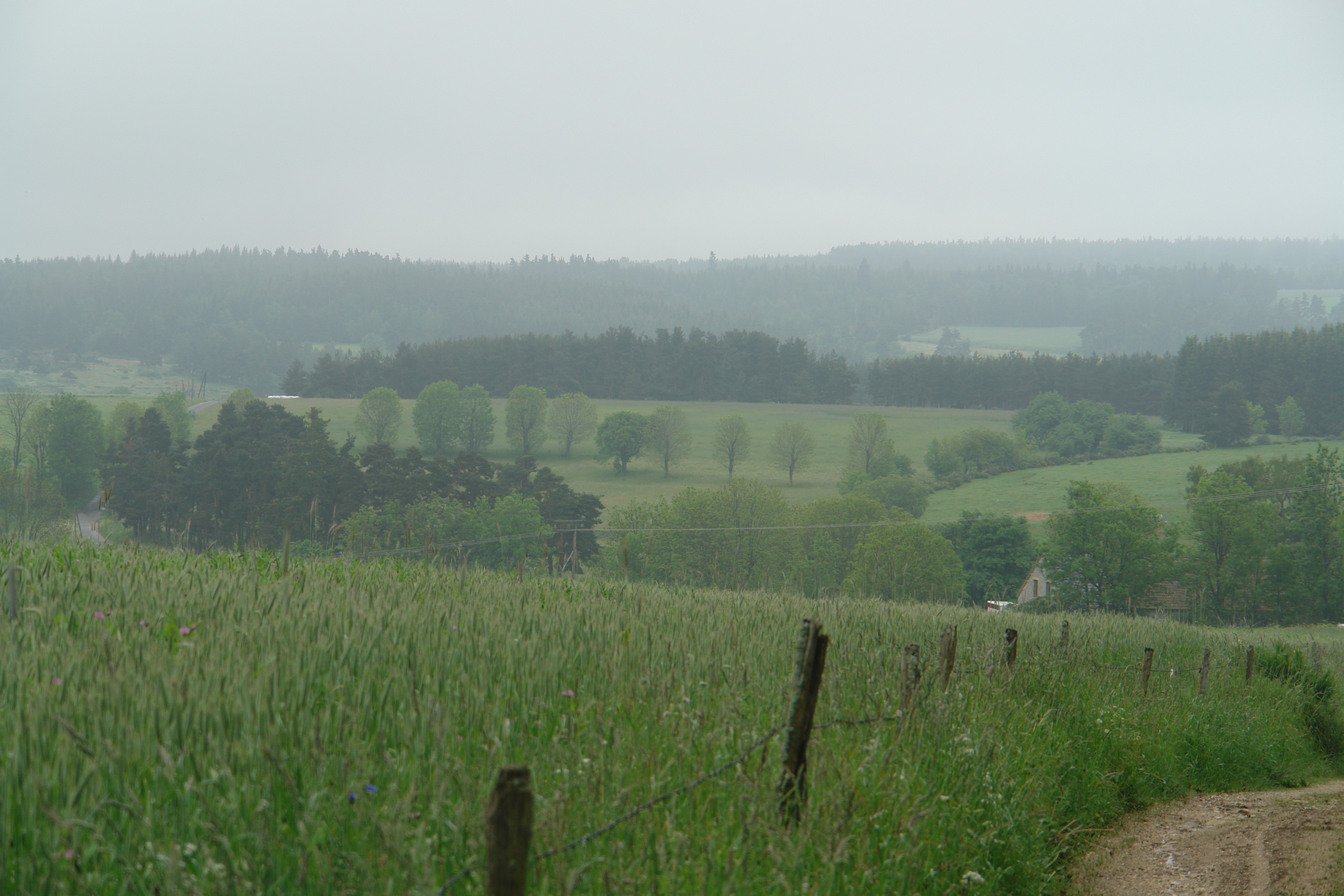
A misty, moisty morning
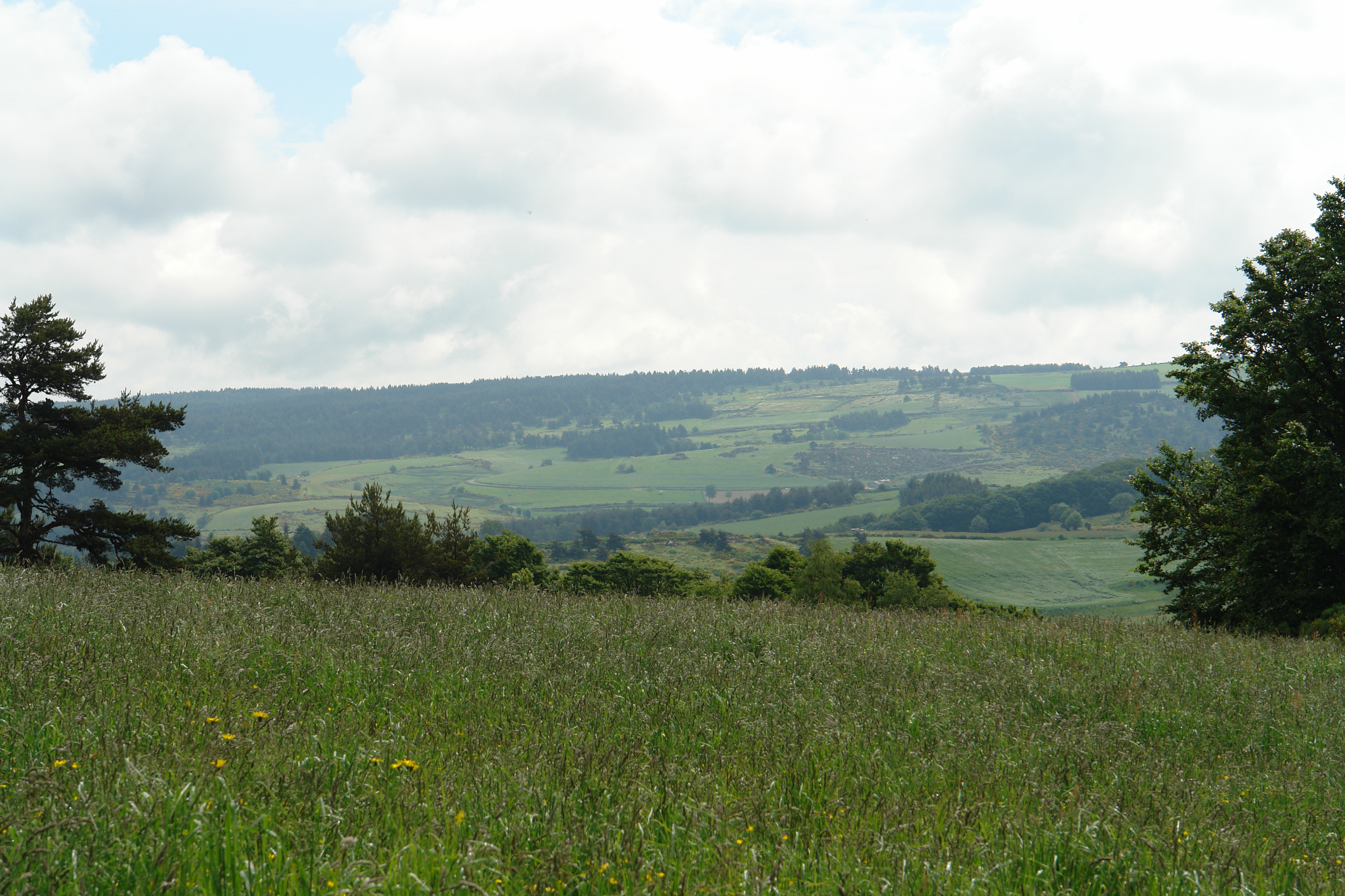
In the Lozere
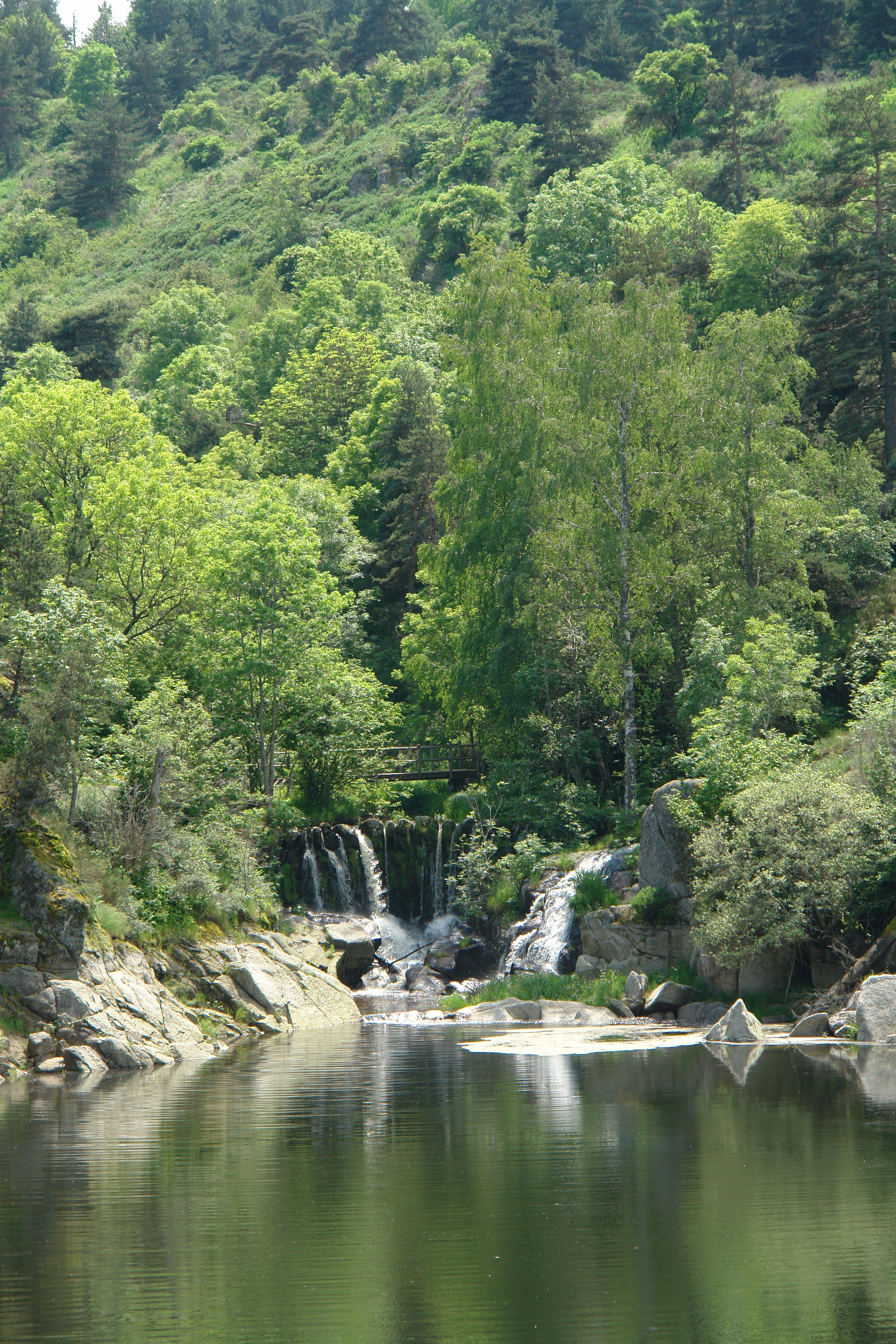
La Cascade aux Fadarelles
IMG_8418.JPG
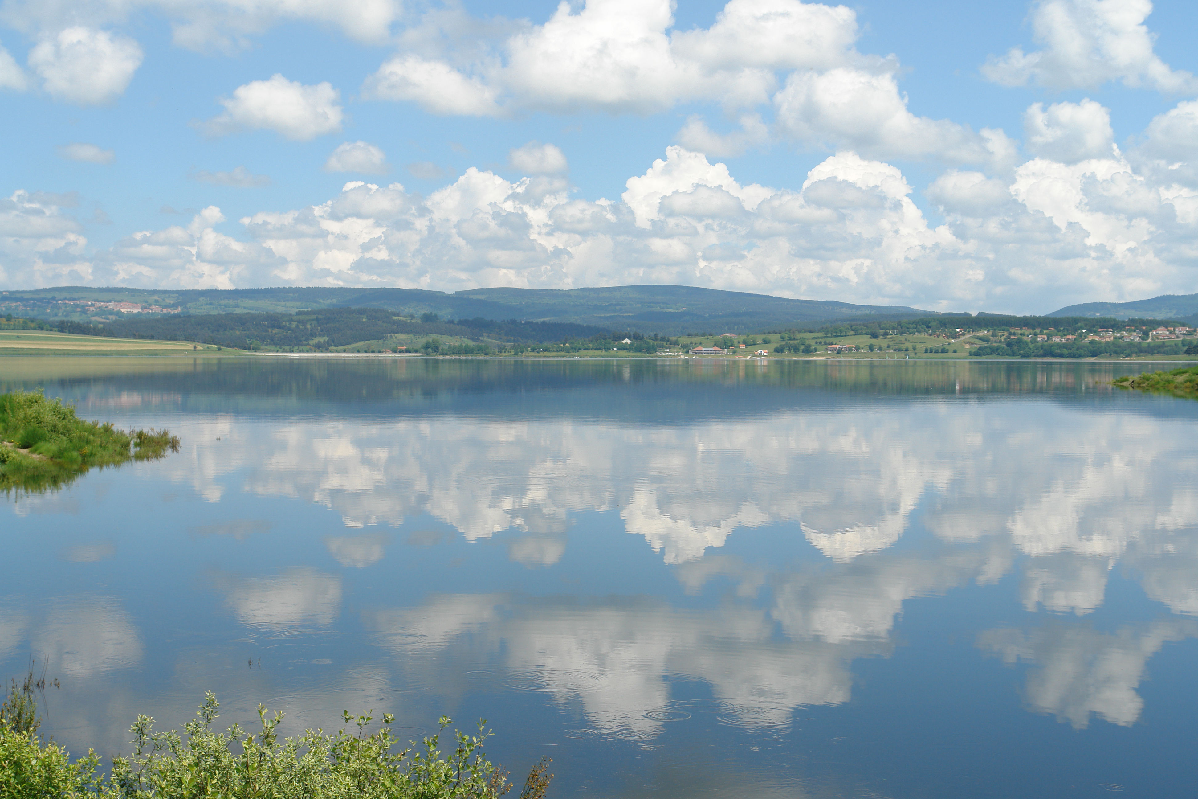
The Barrage de Naussac
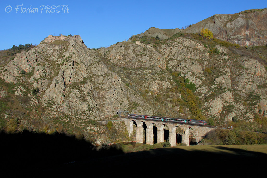
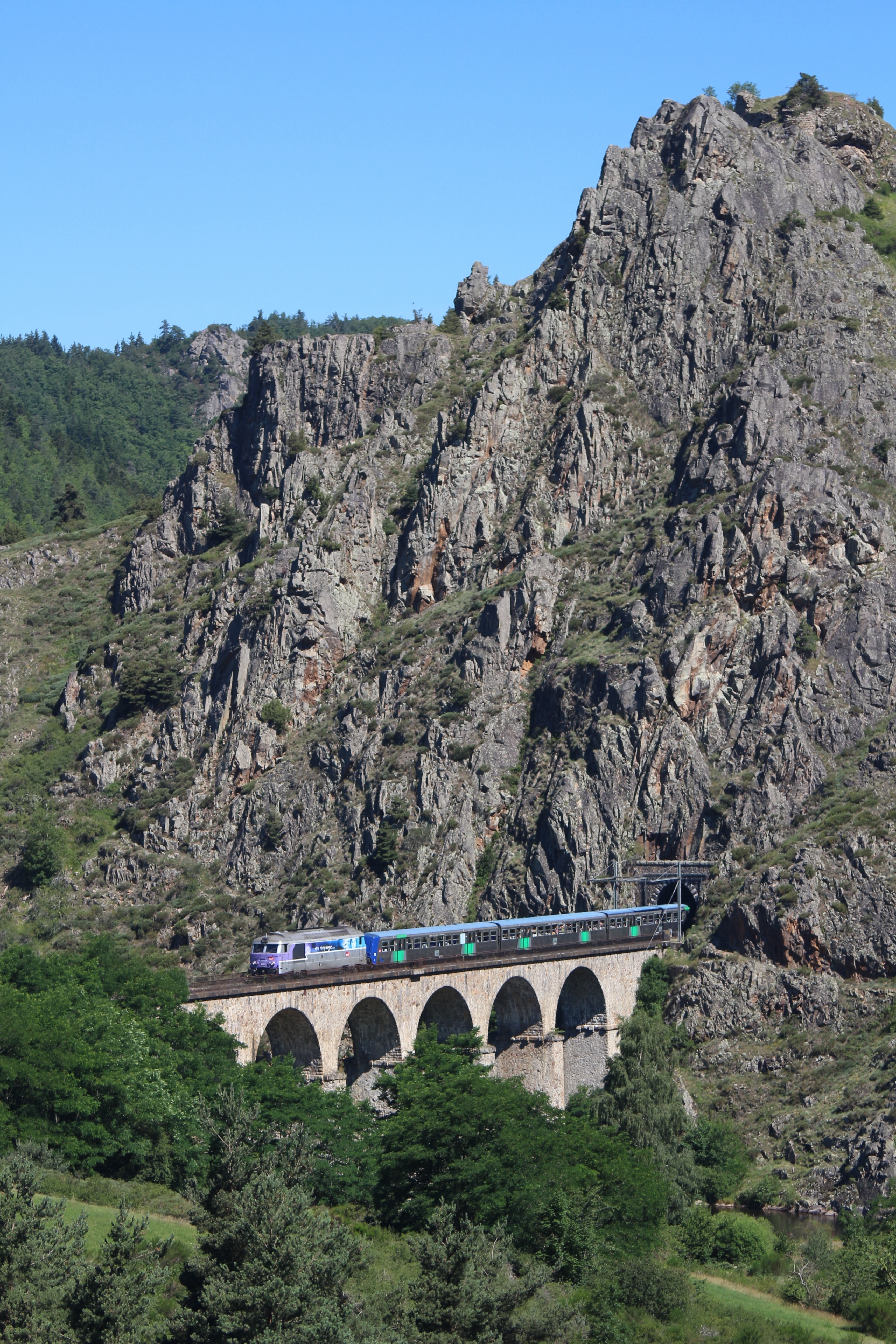
11/2013 - Le Nouveau Monde - Viaduc du Thord (43) - BB 67574 + Rame Corail+ - IC 15957 ''Cévenol'' (Clermont - Nîmes)
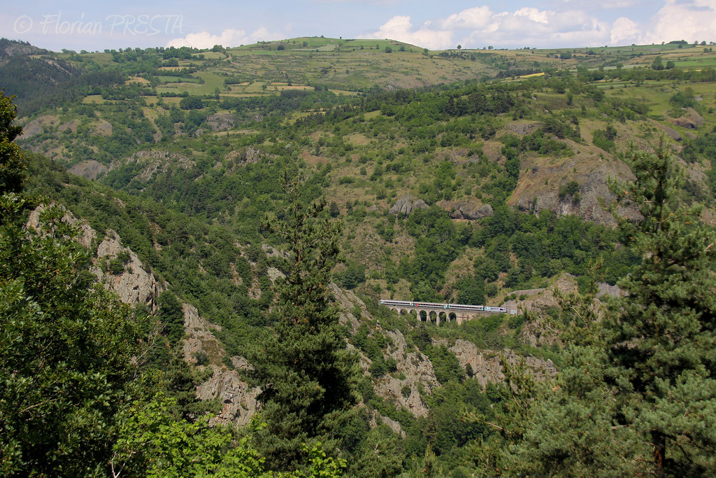
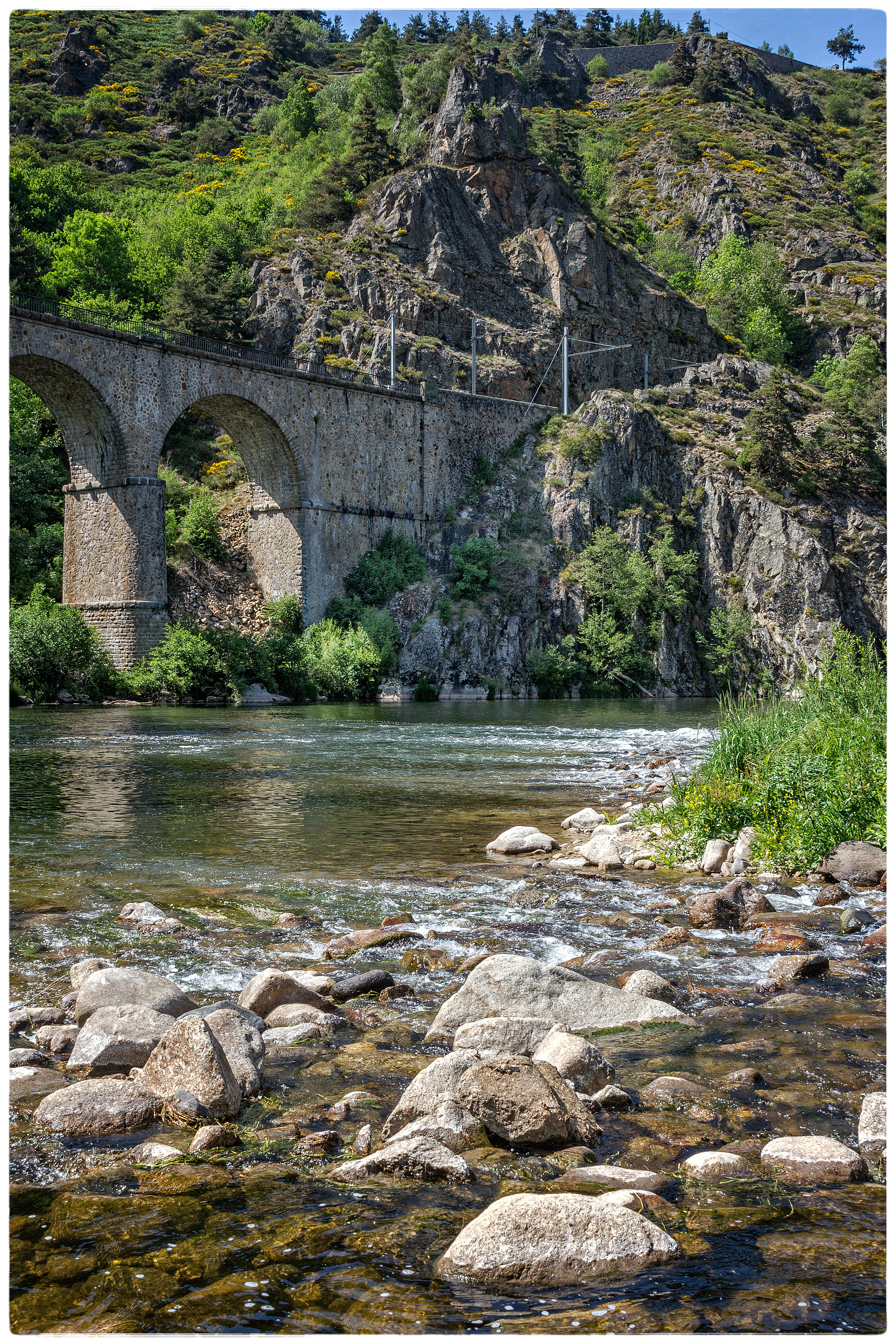
Viaduc du Thord 17 07 2014
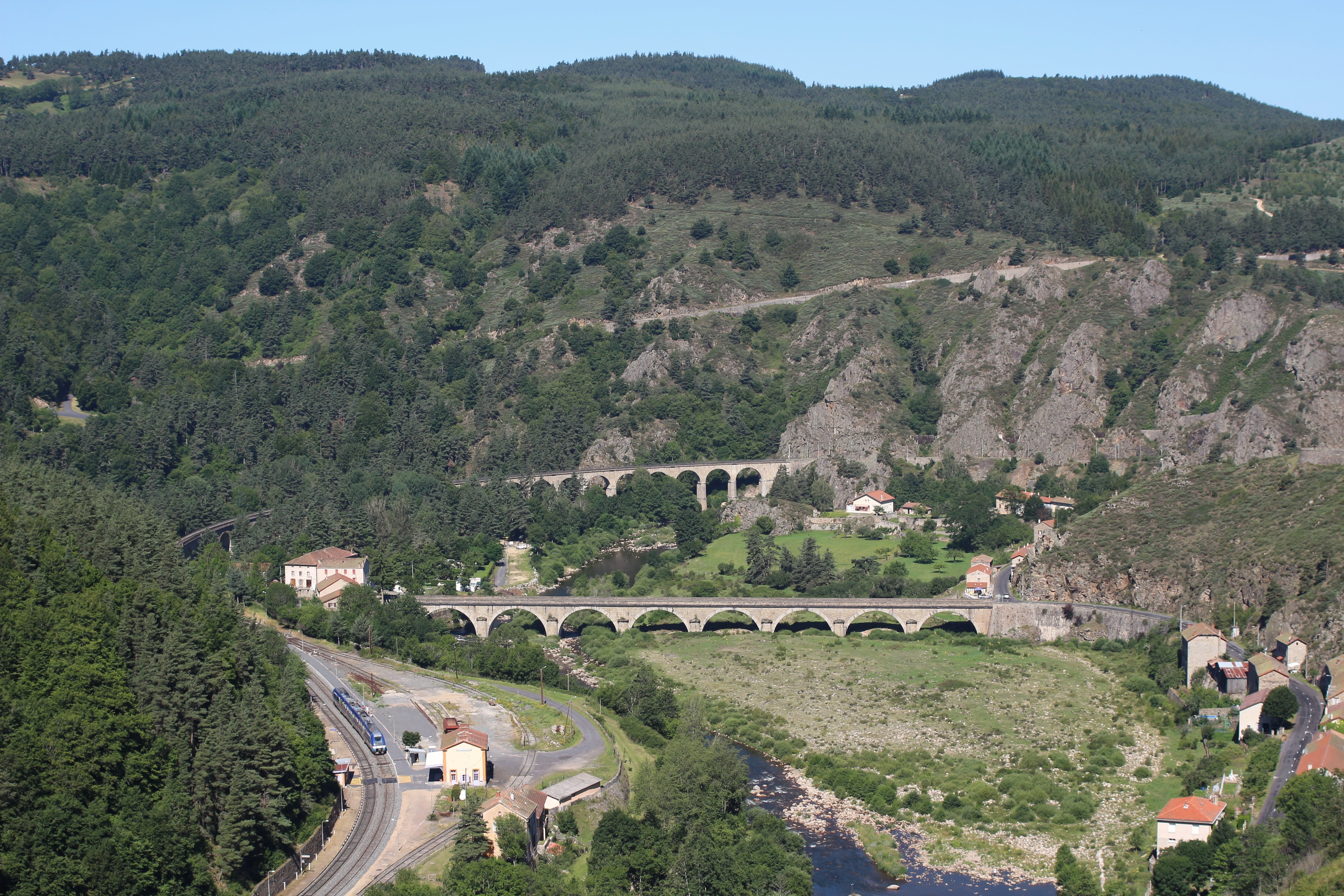
Chapeauroux 17 07 2014

Paesaggio vicino Le Sauvage

Chemin de Stevenson ...
lozére1
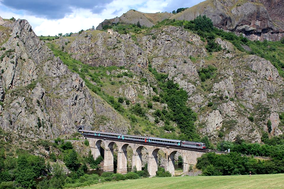
Le Cévenol sur le viaduc du Thord
06/2014 - Saint-Haon (FR-43) - SNCF BB 67628 + Rame Corail+ - IC 15957 "Cévenol" (Clermont - Nîmes)
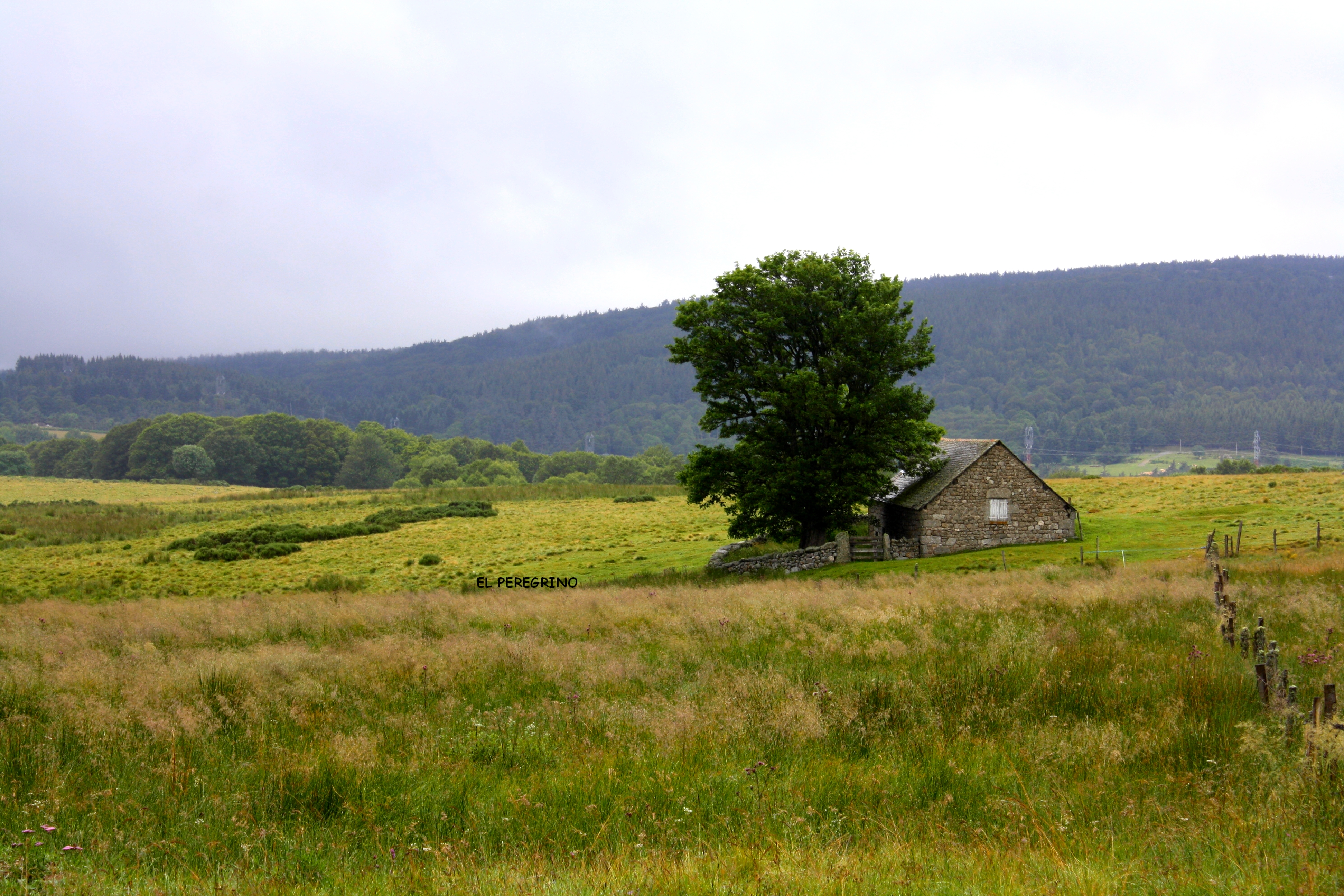
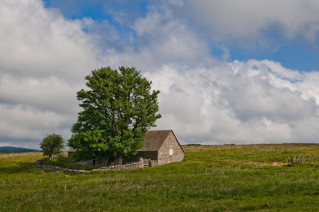
La casa nella prateria 2
printemps lozérien !
Le Domaine du Sauvage
l'Allier à Châpeauroux
VELAY-Rando-Arquejols-21
De retour de Pierre Blanche

Chemin de Stevenson ...
VELAY-Rando-Arquejols-08

Chemin de Stevenson ..
Lozère
Via Podiensis
VELAY-Rando-Arquejols-01
VELAY-Rando-Arquejols-24
Topographic Map of Aubespeyres, Grandrieu, France
Find elevation by address:

Places near Aubespeyres, Grandrieu, France:
Grandrieu
5248f
Saint-jean-la-fouillouse
Saint-préjet-d'allier
10 Place de la Mairie, Saint-Préjet-d'Allier, France
Saint-jean-lachalm
Pradelles
88 Avenue du Puy, Pradelles, France
Saint-alban-sur-limagnole
Lozère
Les Courses, Saint-Alban-sur-Limagnole, France
Mende
8 Rue de la Liberté, Mende, France
9 Rue Jacques Brel, Cussac-sur-Loire, France
Cussac-sur-loire
Mont Lozère
79 Balsieges Village, Balsièges, France
Prévenchères
Balsièges
Alleyrac
Recent Searches:
- Elevation of Rojo Ct, Atascadero, CA, USA
- Elevation of Flagstaff Drive, Flagstaff Dr, North Carolina, USA
- Elevation of Avery Ln, Lakeland, FL, USA
- Elevation of Woolwine, VA, USA
- Elevation of Lumagwas Diversified Farmers Multi-Purpose Cooperative, Lumagwas, Adtuyon, RV32+MH7, Pangantucan, Bukidnon, Philippines
- Elevation of Homestead Ridge, New Braunfels, TX, USA
- Elevation of Orchard Road, Orchard Rd, Marlborough, NY, USA
- Elevation of 12 Hutchinson Woods Dr, Fletcher, NC, USA
- Elevation of Holloway Ave, San Francisco, CA, USA
- Elevation of Norfolk, NY, USA