Elevation of 12 Le Gras O, Les Vans, France
Location: France > Ardeche > Les Vans >
Longitude: 4.1235192
Latitude: 44.3952808
Elevation: 306m / 1004feet
Barometric Pressure: 98KPa
Elevation Map:
Satellite Map:
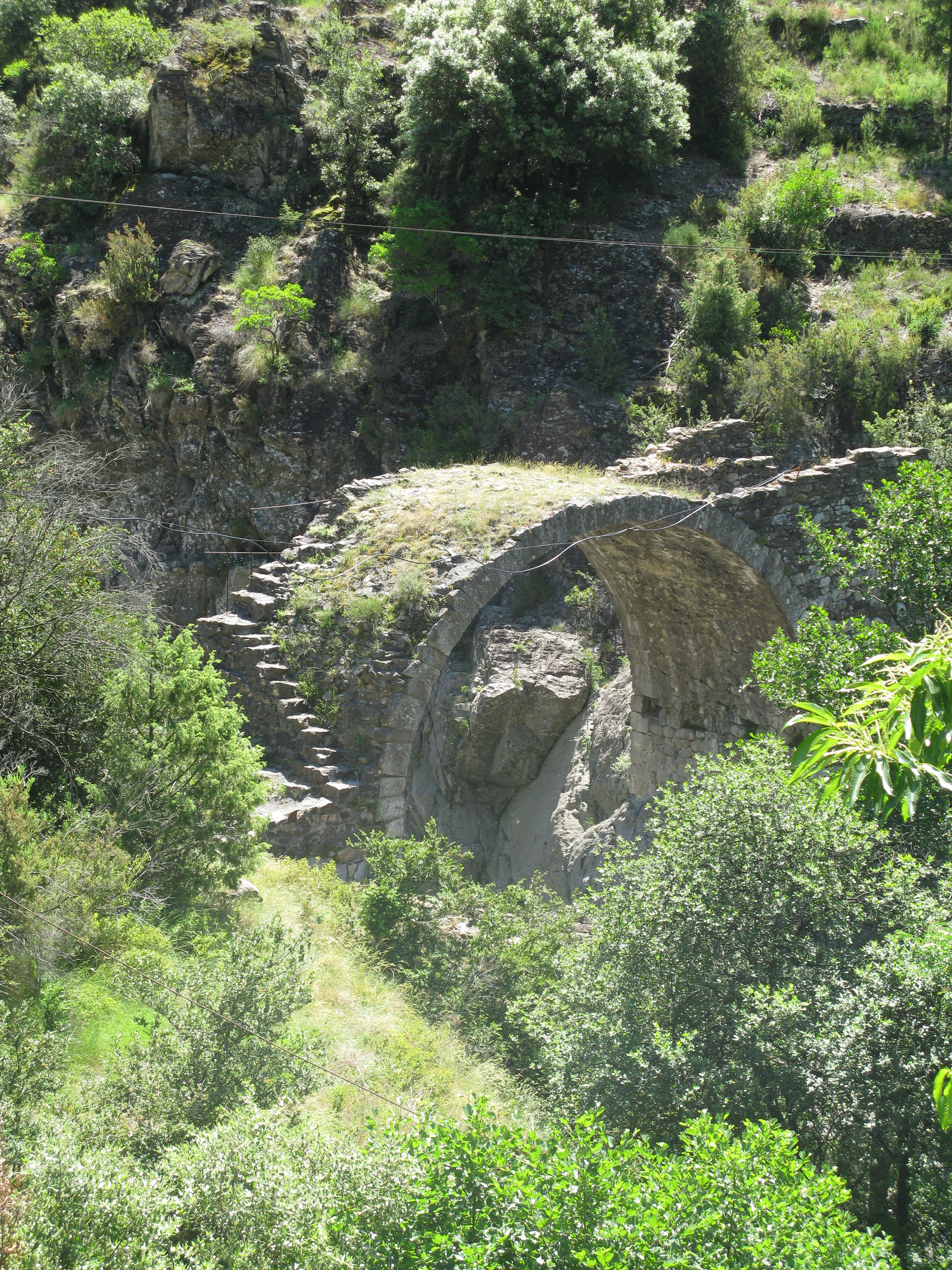
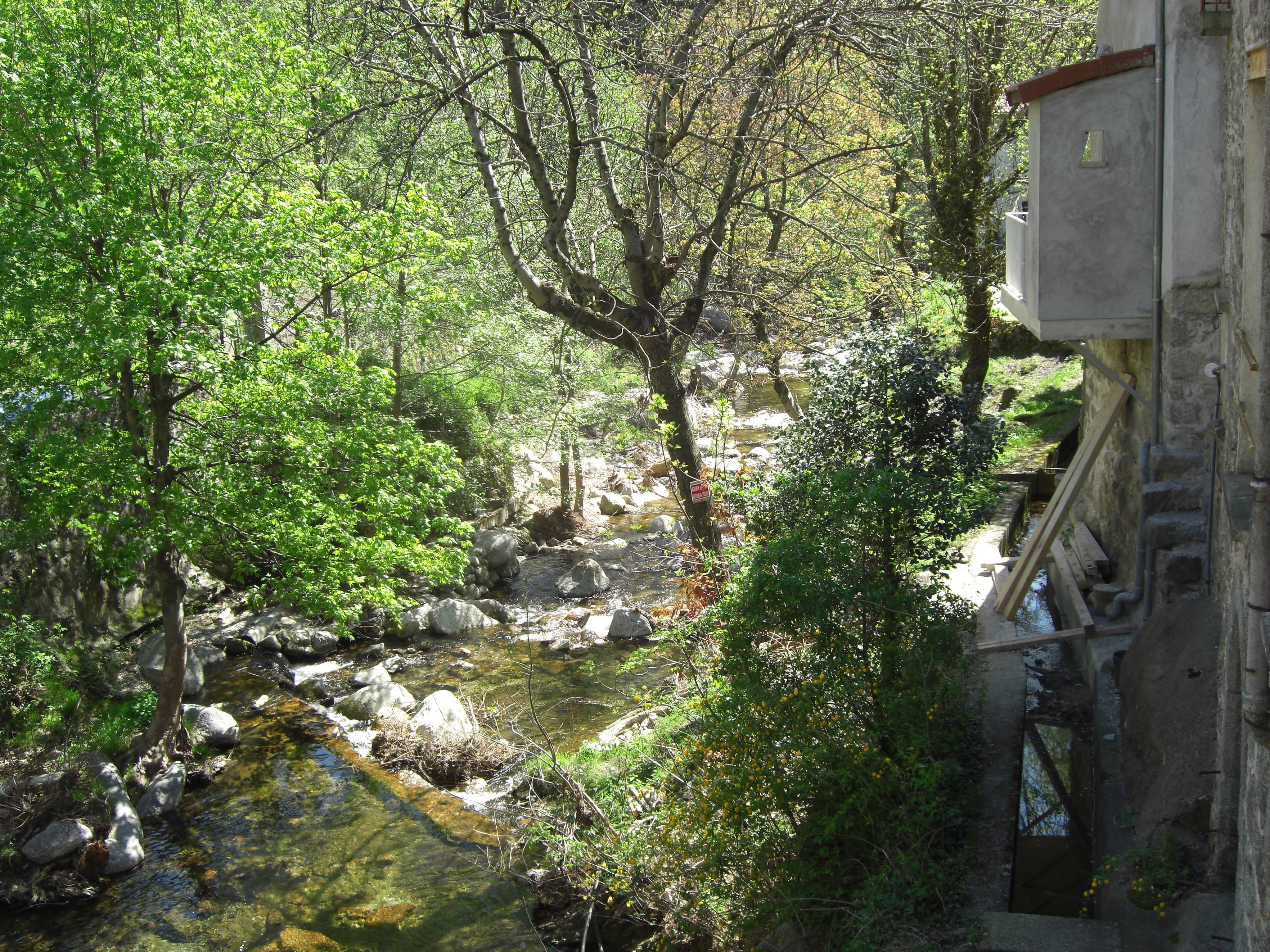
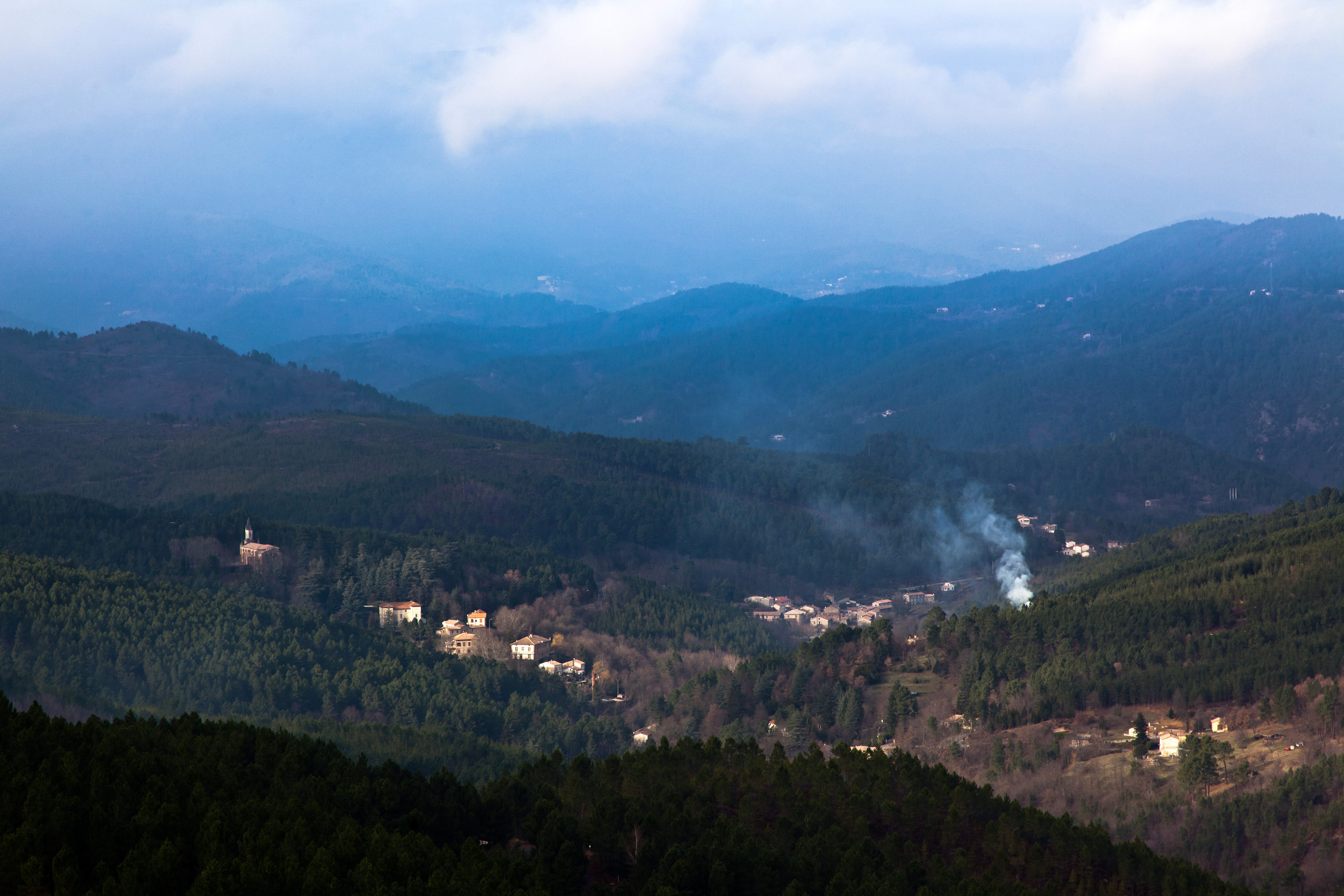
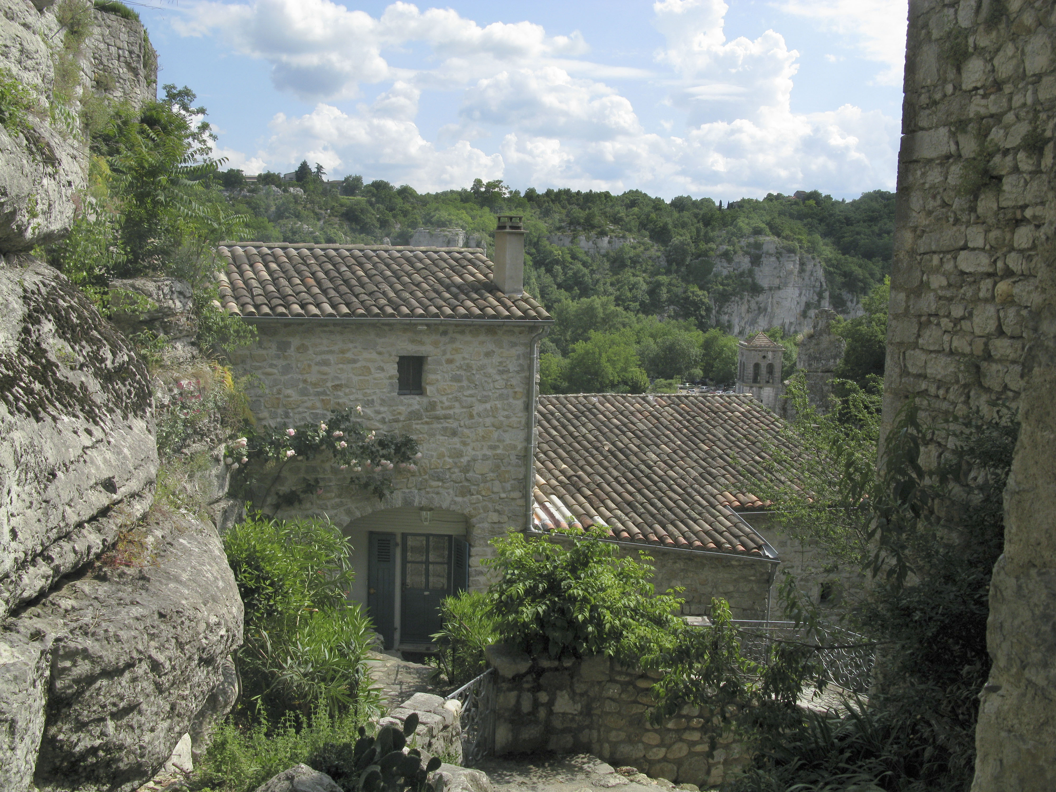
Related Photos:

Mes motos : camping Ardèche Février 1983
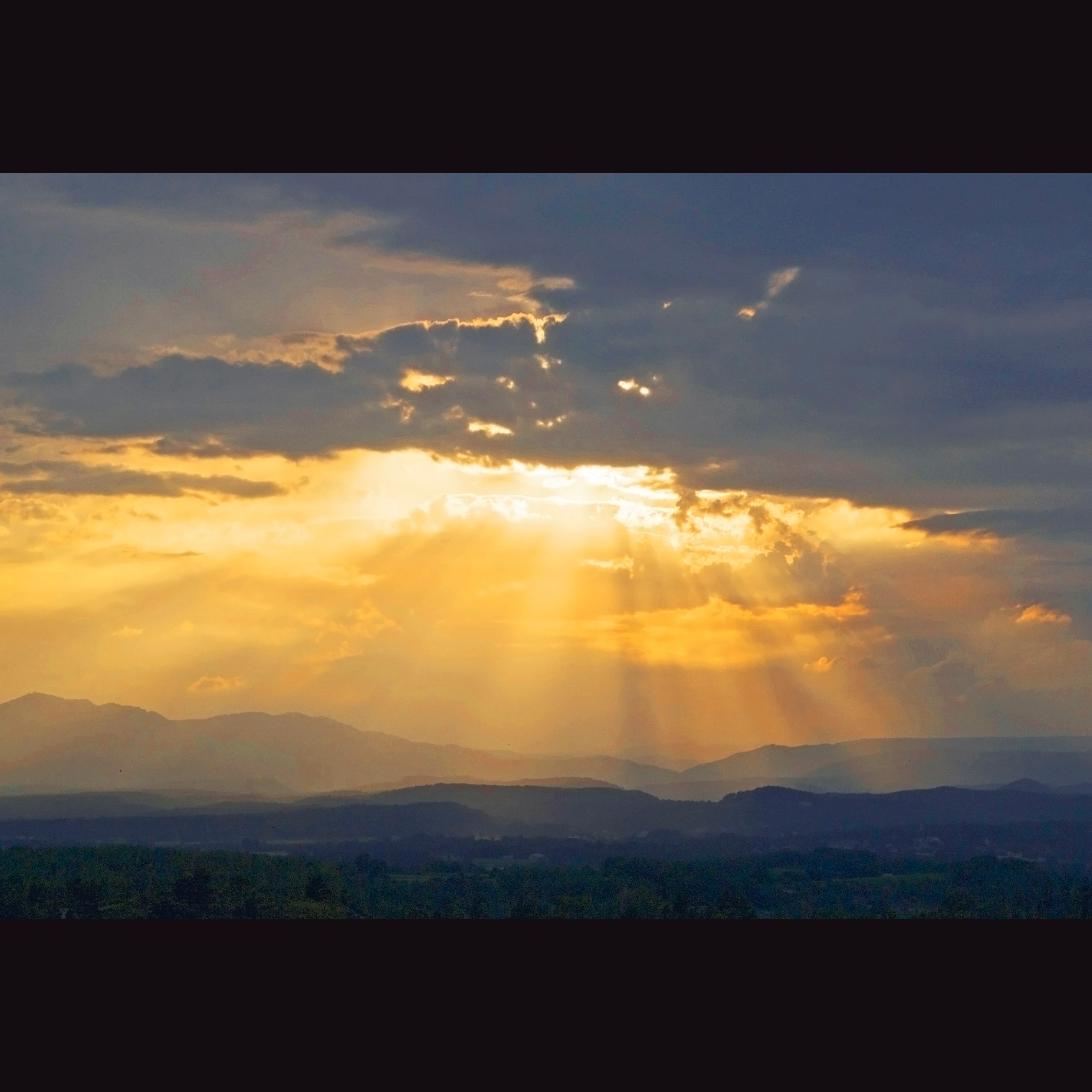
after the thunderstorm

One last village. I had never been to Banne before, but shall return. It epitomizes what I like about small places in the south of Frenchland; a beautiful view, a cute little plaza, a quaint restaurant with red tables under the sycamore trees, a bocce cou

Slept longer than I planned. Till 5 o'clock. But was rewarded with this stunning view #btr2016 #vezelay #barcelona #cycling #singlespeed #endurance #ot #lecolcycling #allcitycycles
Mountain View
MDM_2272a.jpg
Schlösser der Ardèche (2)
MDM_2449.jpg

Alley Sky
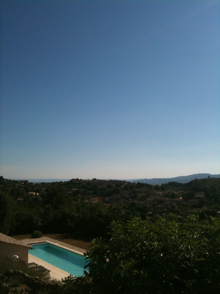
Swimming pool with a view
Gardonette (2)
Trip to France Day #11 - Portes - 10, Dec - 08

Maria Sky
MDM_2289a.jpg
MDM_2459.jpg
View from the GR4, above Malarce.
View from the bridge
MDM_2454.jpg
MDM_2290a.jpg
MDM_2288.jpg
MDM_2432.jpg
The Sun above Ardèche
Château de Montalet
Le charme de l'Ardèche...
Naves / Les Vans
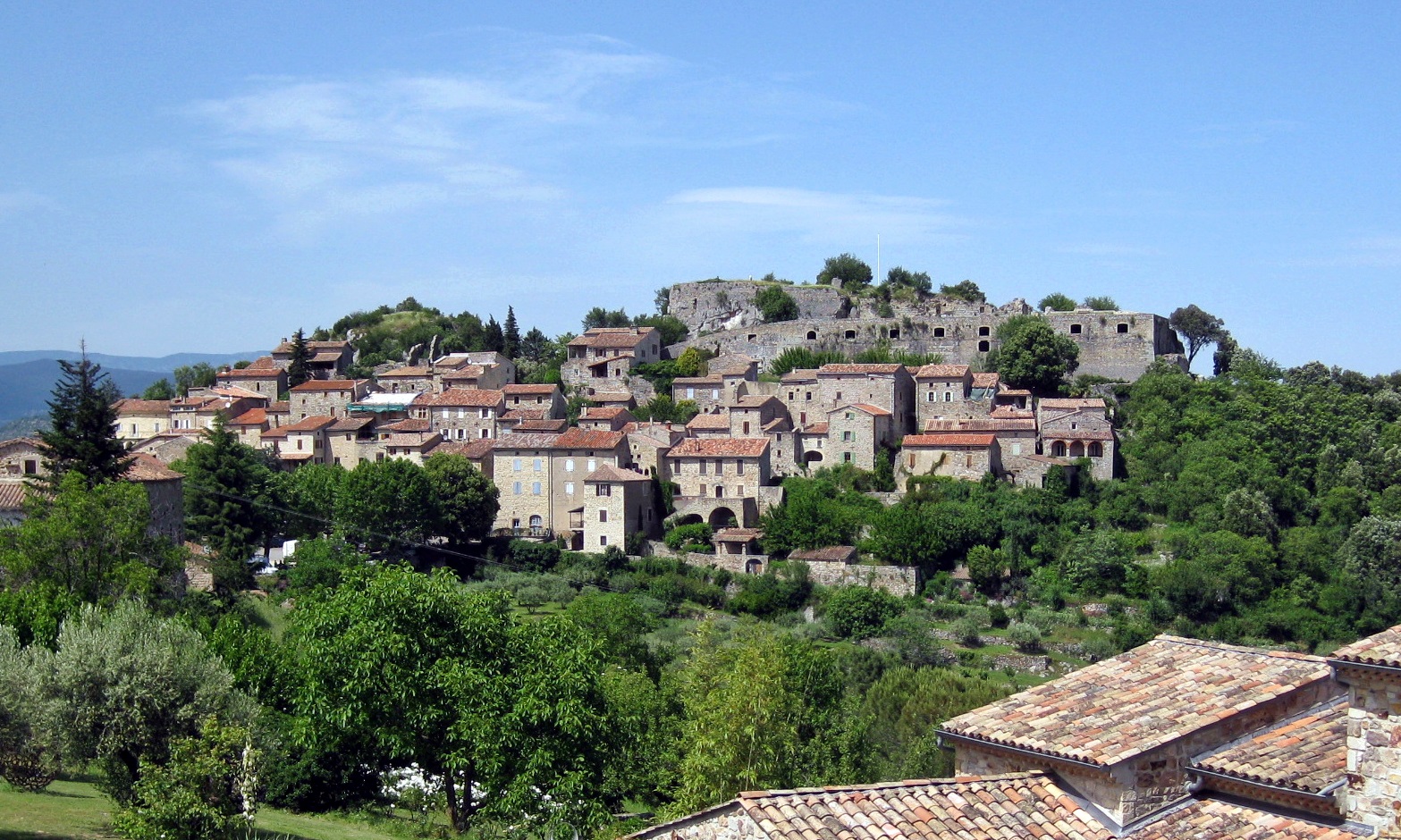
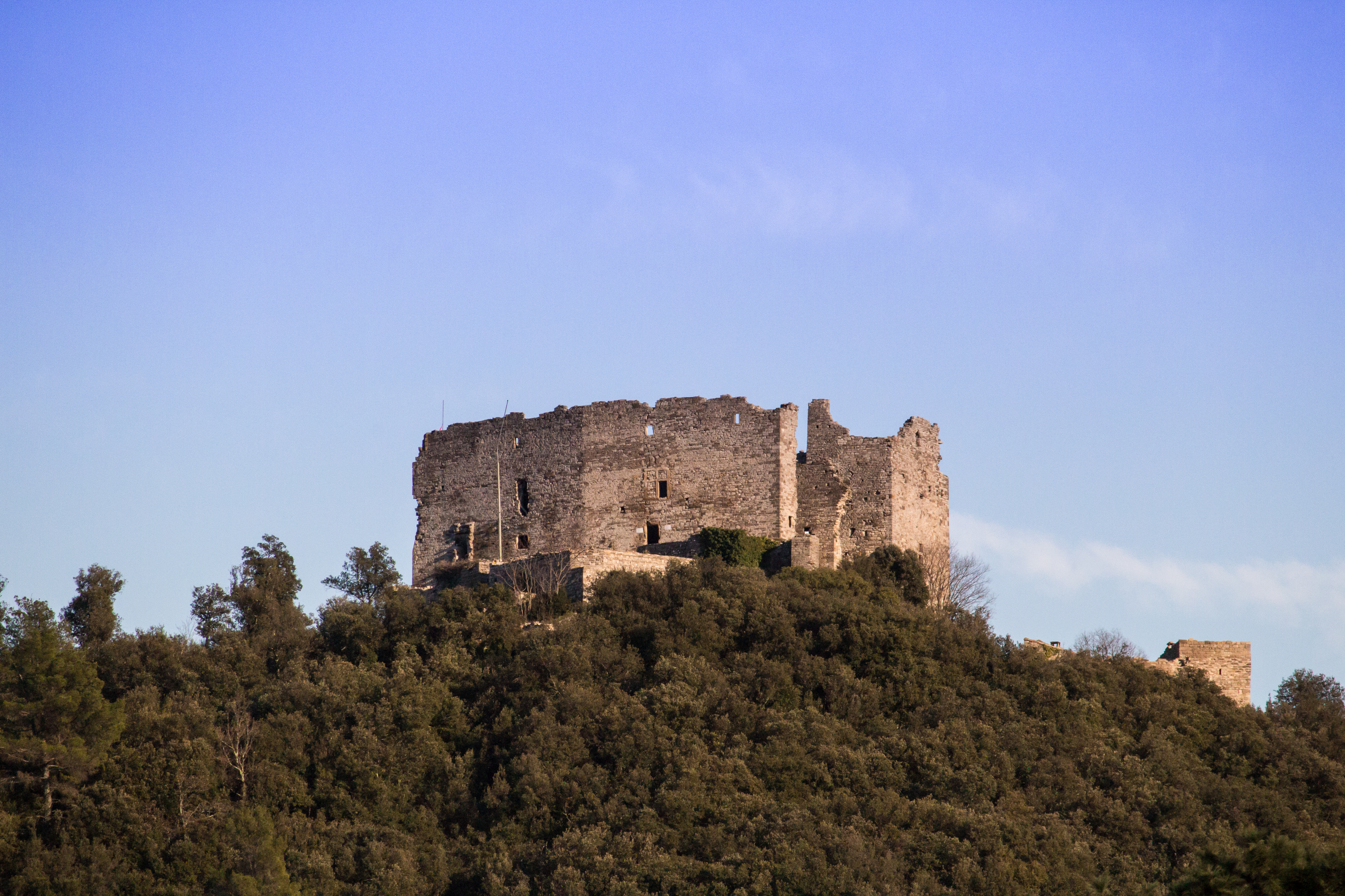
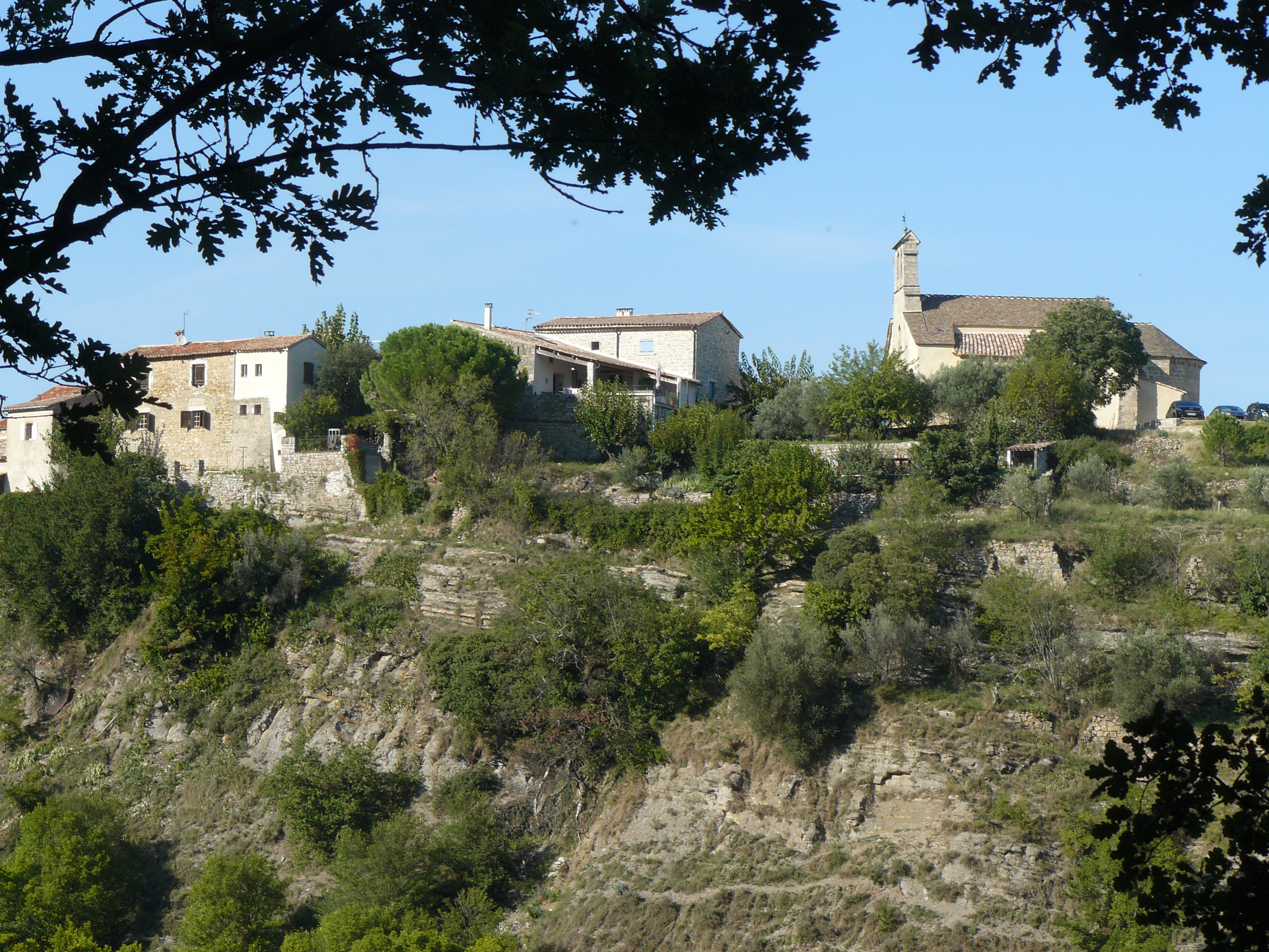
Château de Banne / Ardèche / France
near / près Labeaume / Ardèche / France
Panorama sur le Bois de Païolive
VILLEFORT (48)

flaque du soir
Vallée du Luech sous la brume.
Nuage delta
Les rives de L' Homol. Genolhac. Gard
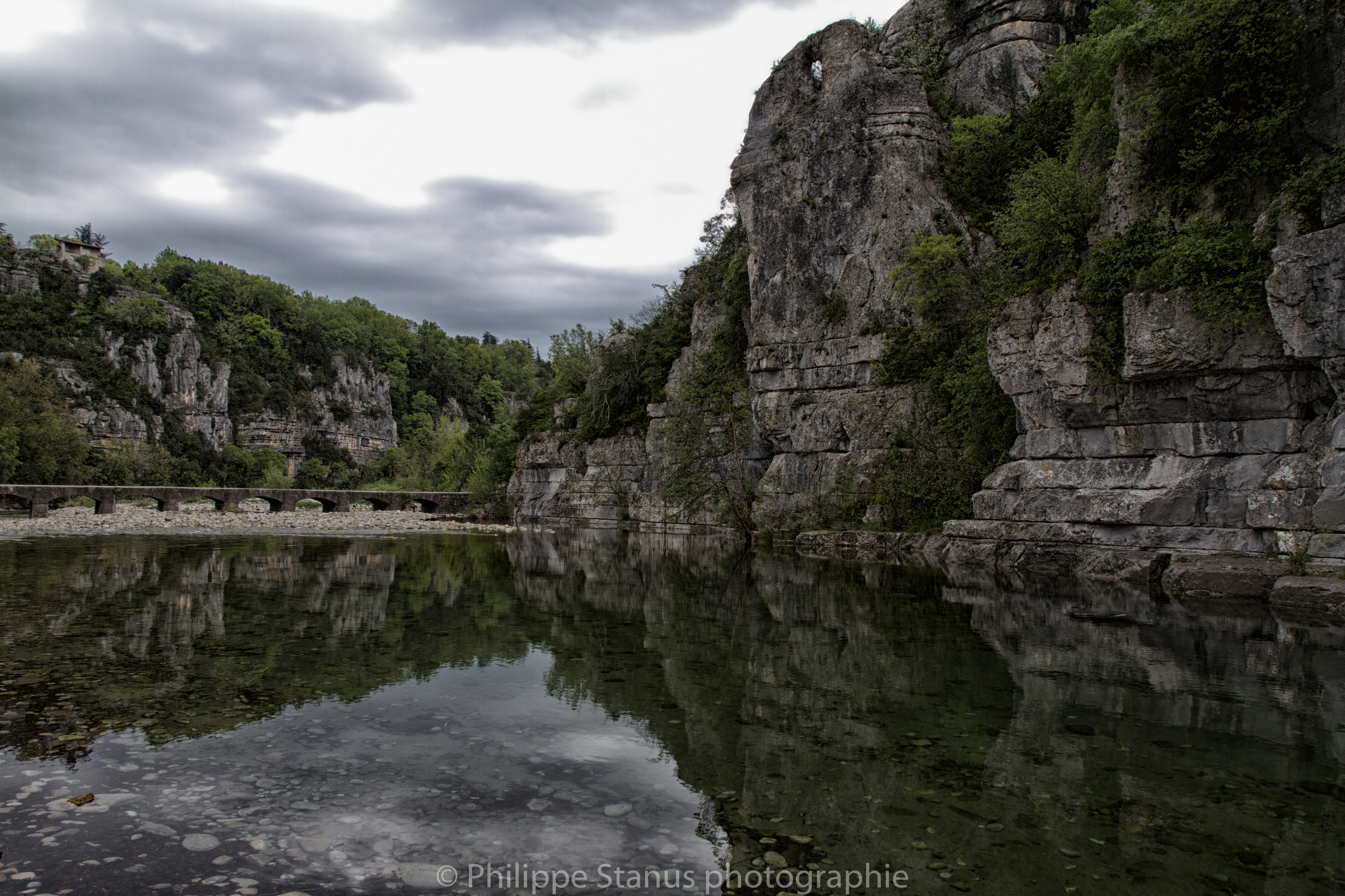
Labeaume (07)

butterfly secret
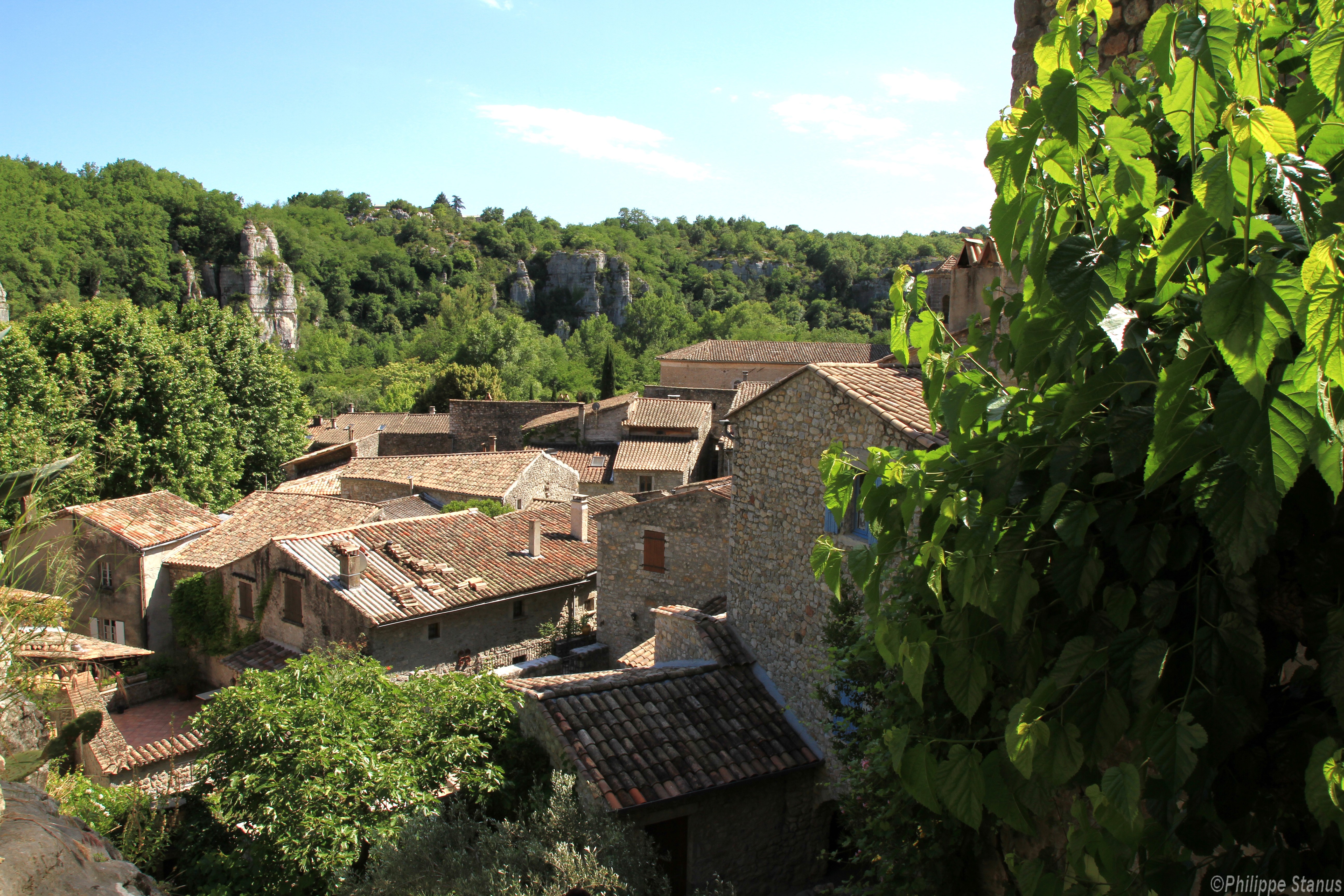
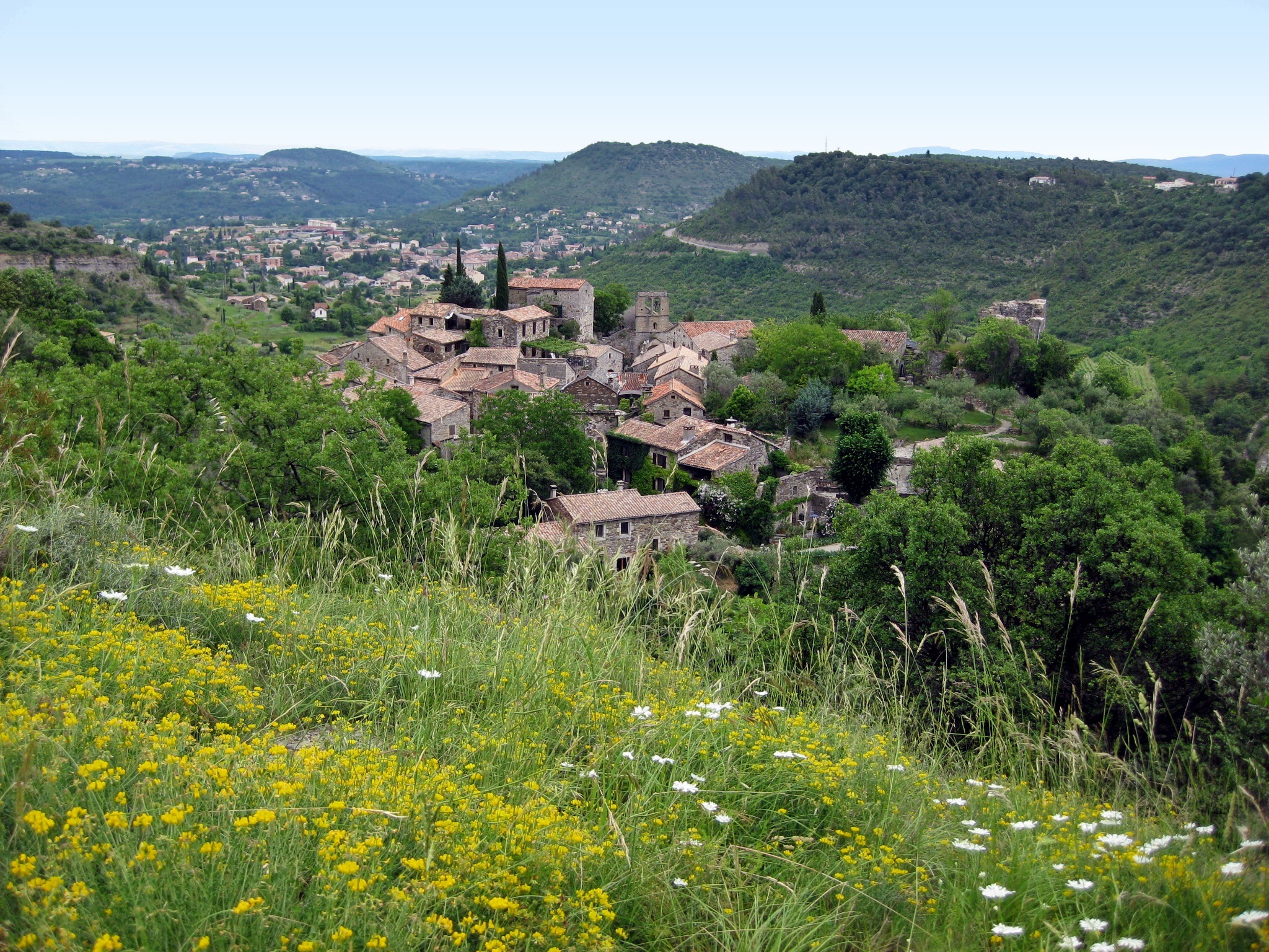
Labeaume, village de caractère en Ardèche

aout 2012-011
Ardeche nuageuse

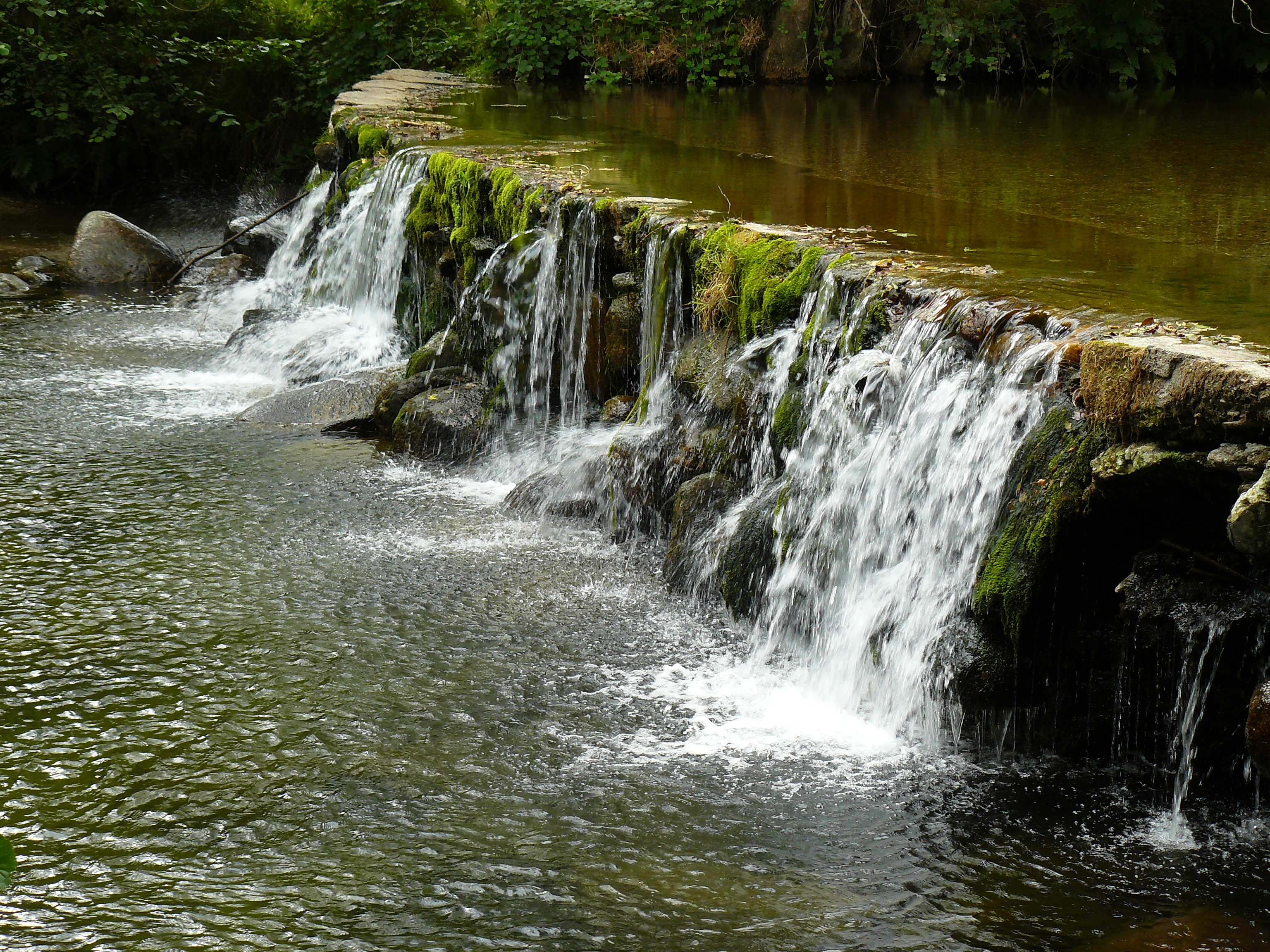
L'eau pure des rivières d'Ardèche...
L Homol Gard
Courry Gard
Le Gour à Concoules
Topographic Map of 12 Le Gras O, Les Vans, France
Find elevation by address:

Places near 12 Le Gras O, Les Vans, France:
Les Vans
Malbosc
Berrias-et-casteljau
Peyremale
Lablachère
1 La Jaujon, Lablachère, France
Sablières
20 Jean-Pierre Chabrol, Génolhac, France
Génolhac
Les Salles-du-gardon
18 Rue d'Alger, Les Salles-du-Gardon, France
14 La Tour, Les Salles-du-Gardon, France
La Croix De Bauzon
Borne
Prévenchères
Lamelouze
20 Les Appens, Lamelouze, France
Alès
New Clinic Bonnefon
22 Le Temple, Saint-Paul-la-Coste, France
Recent Searches:
- Elevation of 62 Abbey St, Marshfield, MA, USA
- Elevation of Fernwood, Bradenton, FL, USA
- Elevation of Felindre, Swansea SA5 7LU, UK
- Elevation of Leyte Industrial Development Estate, Isabel, Leyte, Philippines
- Elevation of W Granada St, Tampa, FL, USA
- Elevation of Pykes Down, Ivybridge PL21 0BY, UK
- Elevation of Jalan Senandin, Lutong, Miri, Sarawak, Malaysia
- Elevation of Bilohirs'k
- Elevation of 30 Oak Lawn Dr, Barkhamsted, CT, USA
- Elevation of Luther Road, Luther Rd, Auburn, CA, USA