Elevation of Grandrieu, France
Location: France > Lozère >
Longitude: 3.633934
Latitude: 44.784377
Elevation: 1163m / 3816feet
Barometric Pressure: 88KPa
Elevation Map:
Satellite Map:
Related Photos:
IMG_8419.JPG
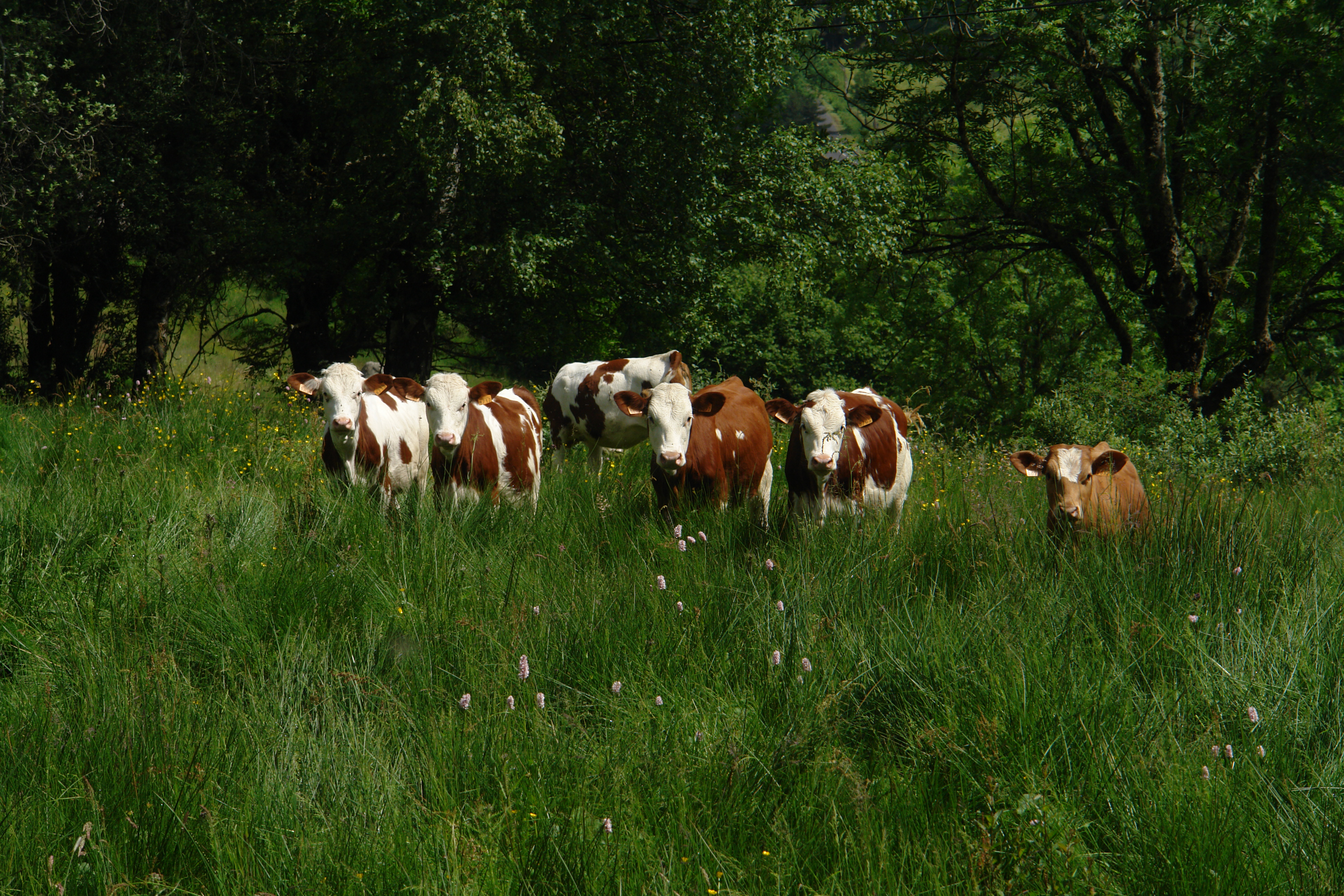
Cows knee deep in grass
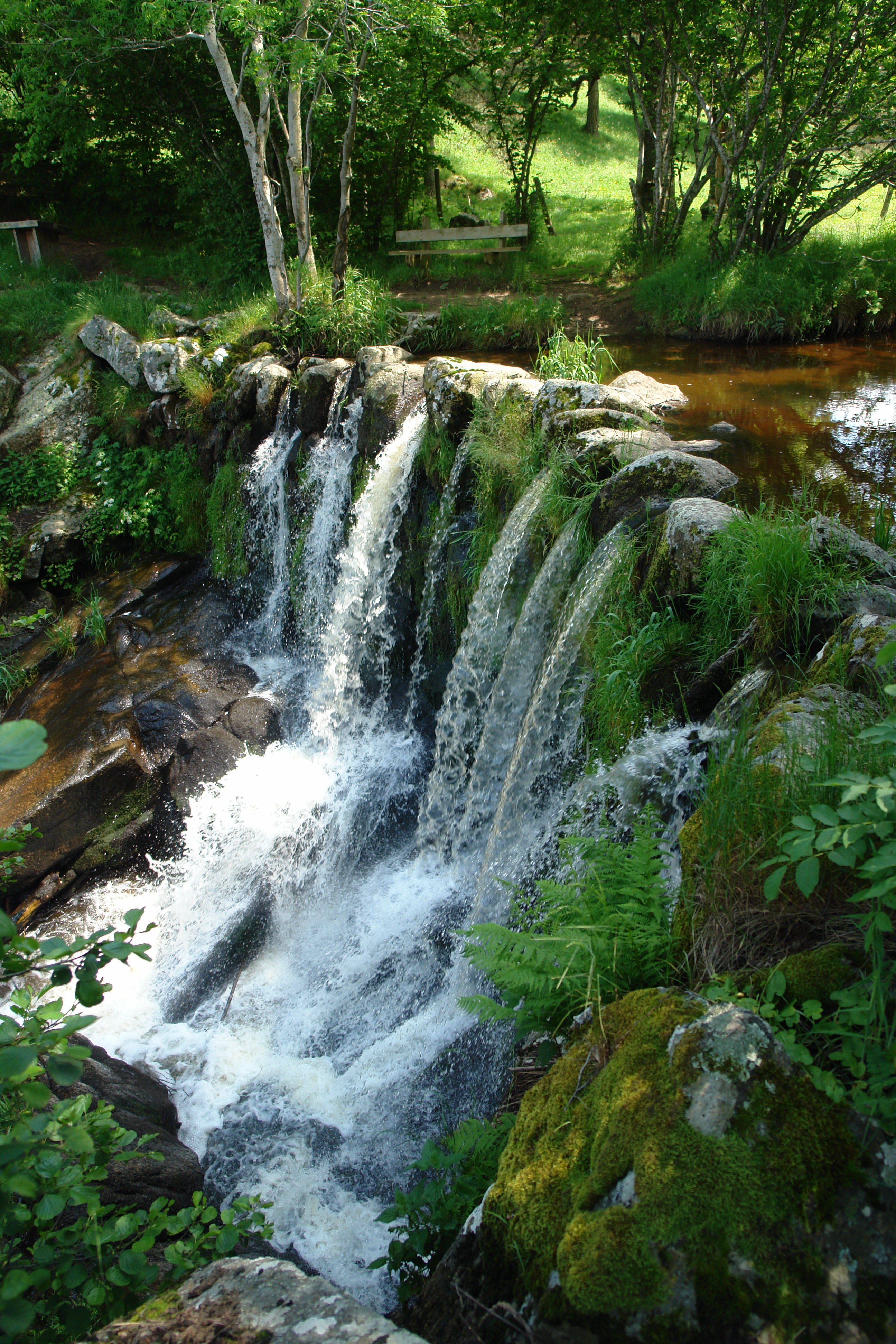
La Cascade aux Fadarelles
In Auroux
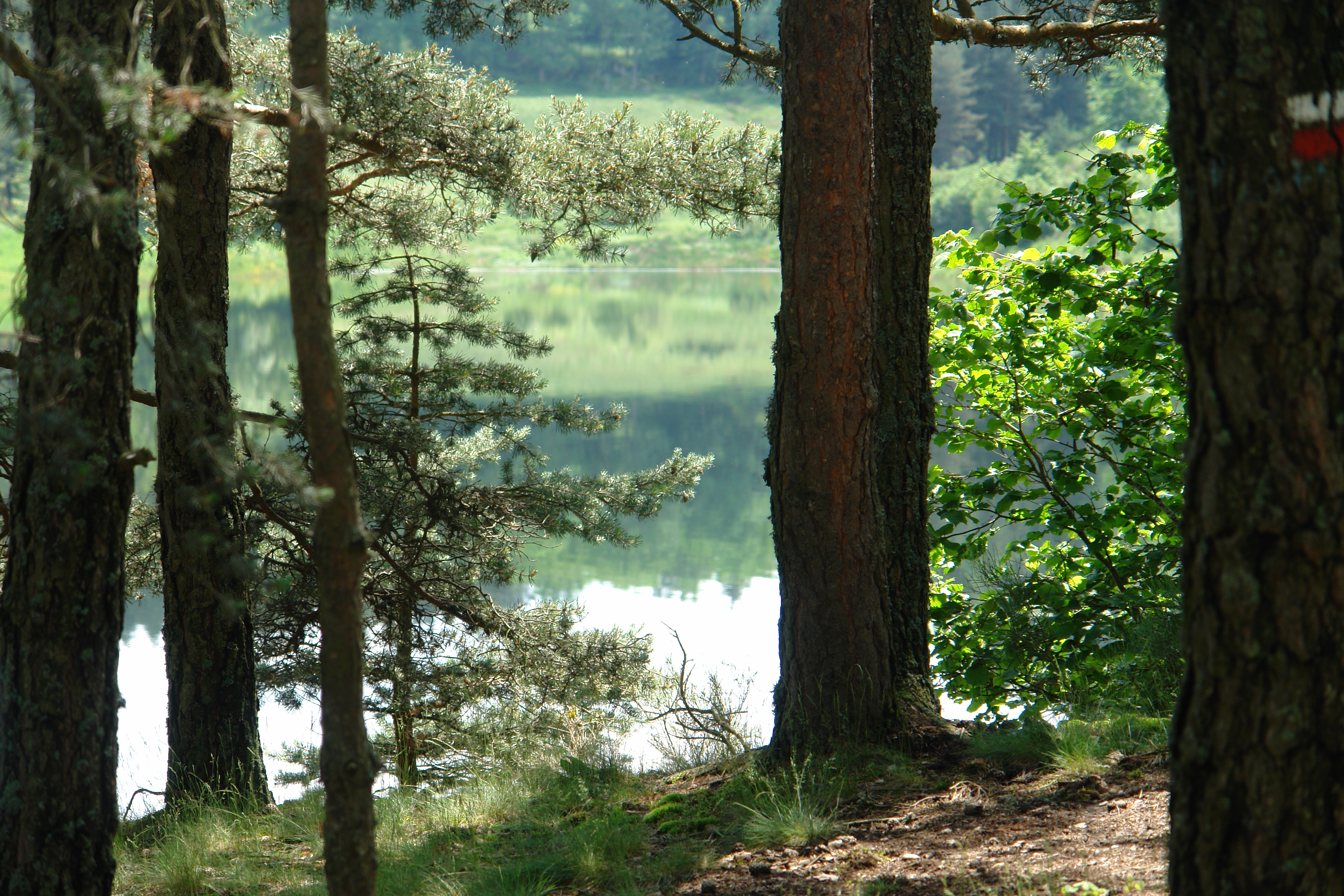
The shore of the lake
On the path to Grandrieu
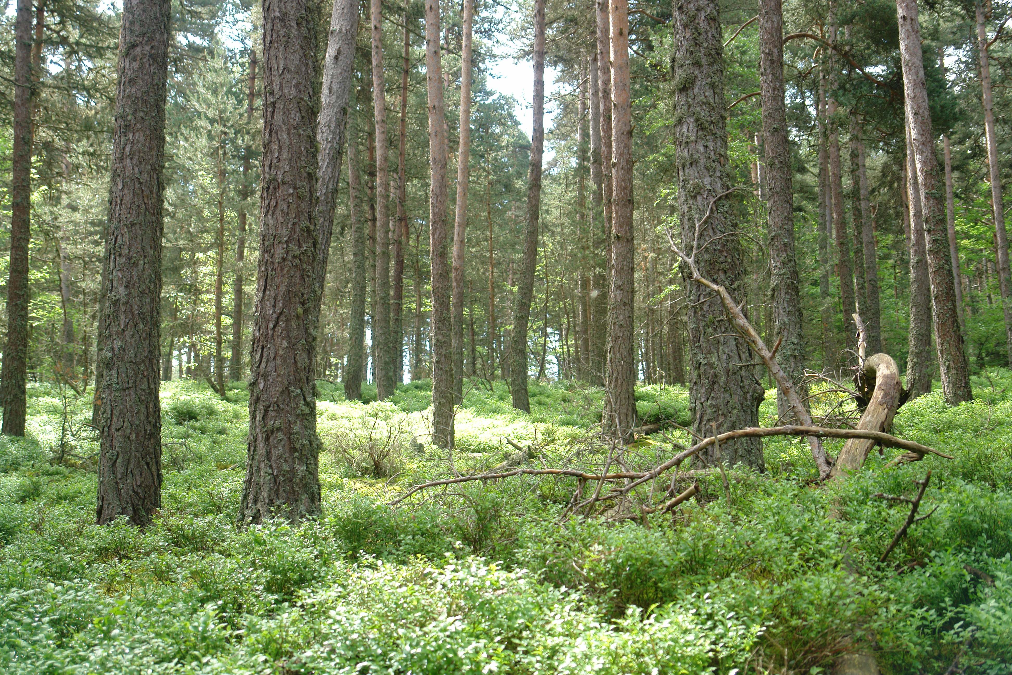
Deep in the Foret de Mercoire
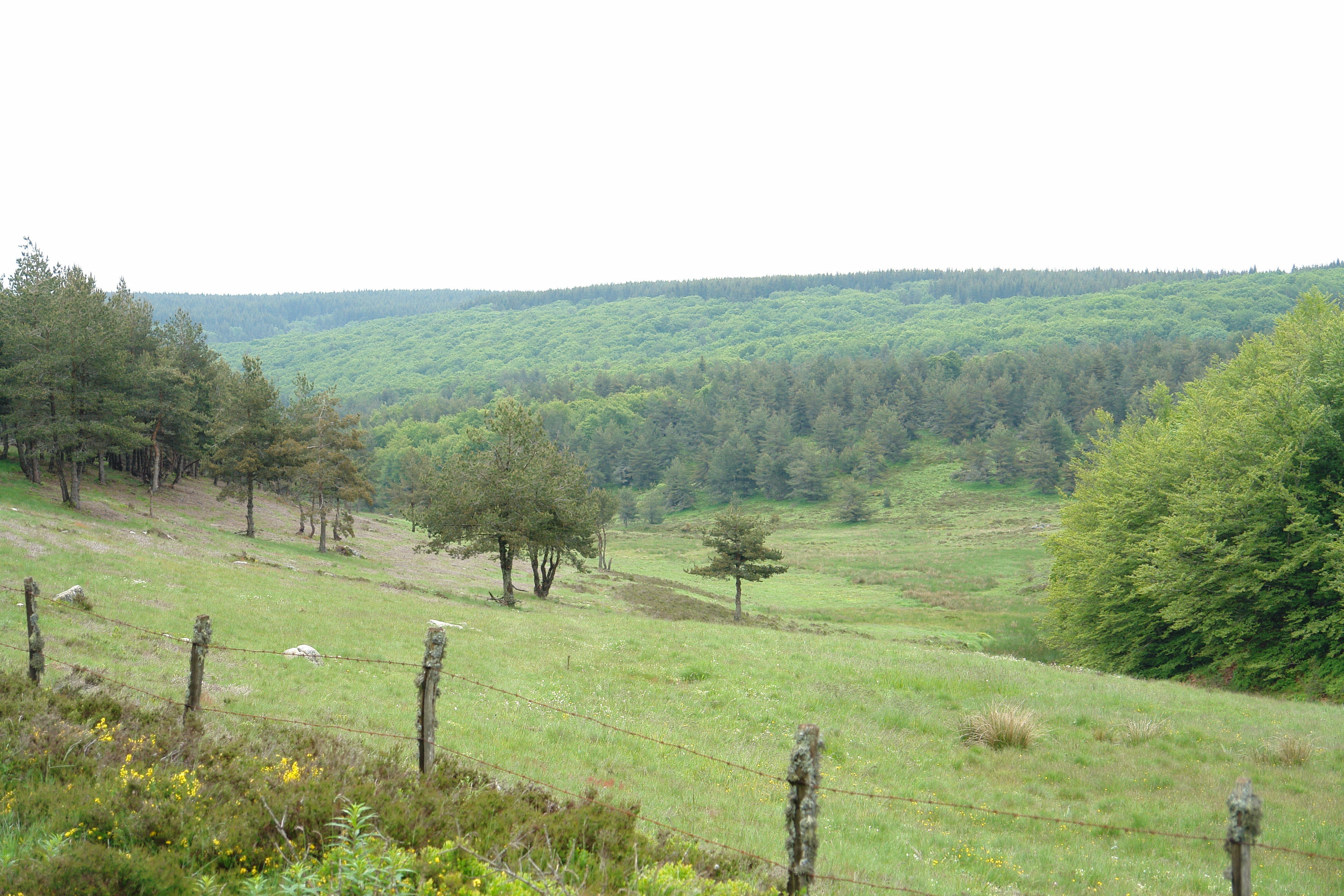
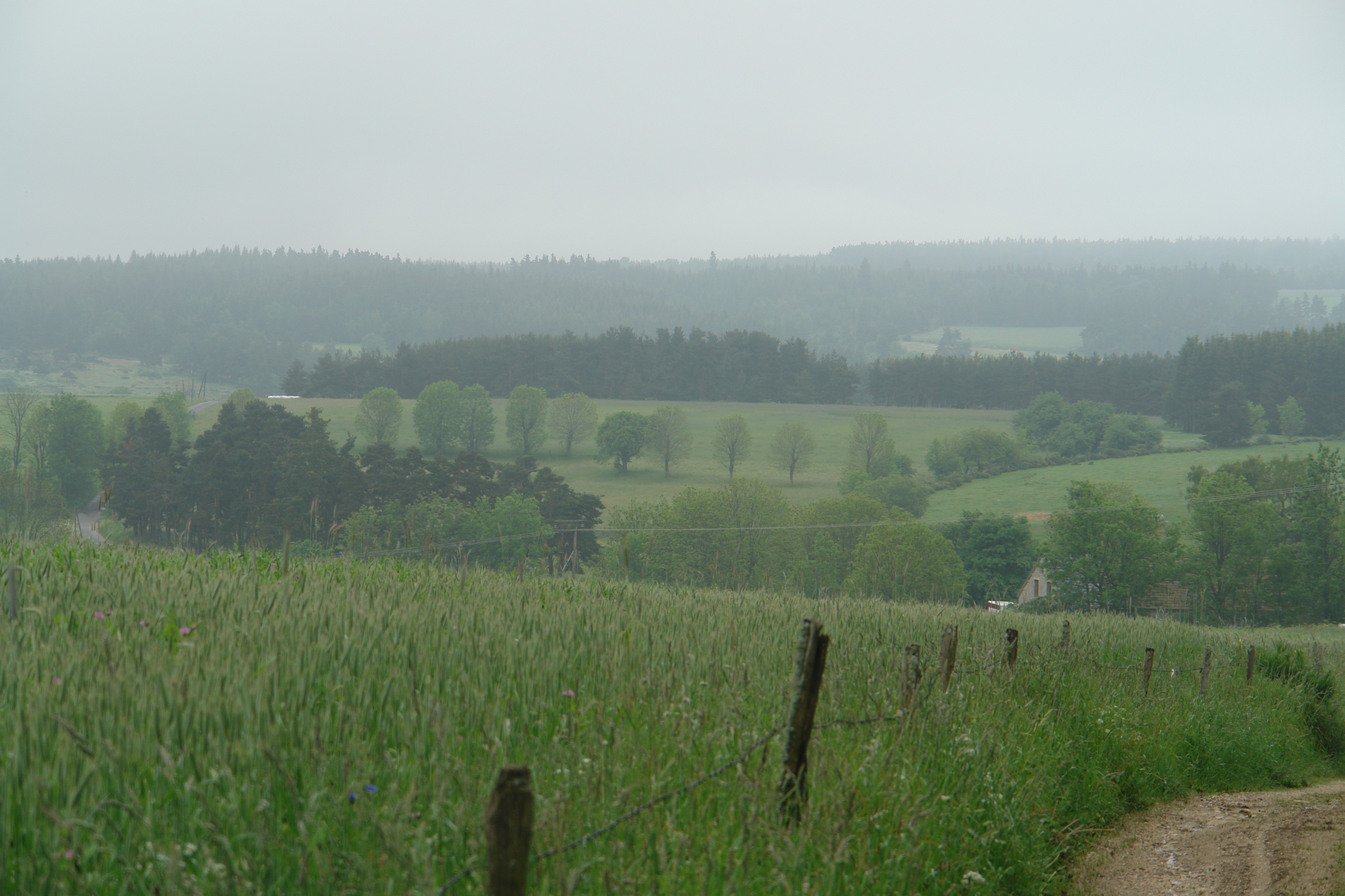
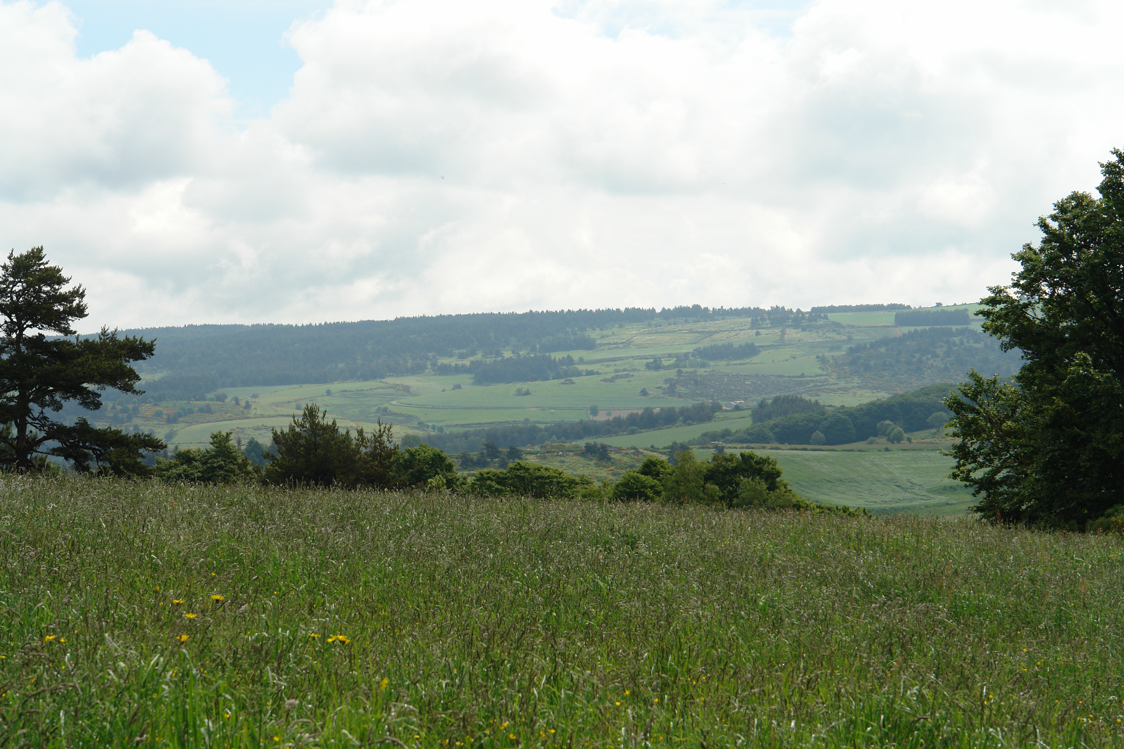
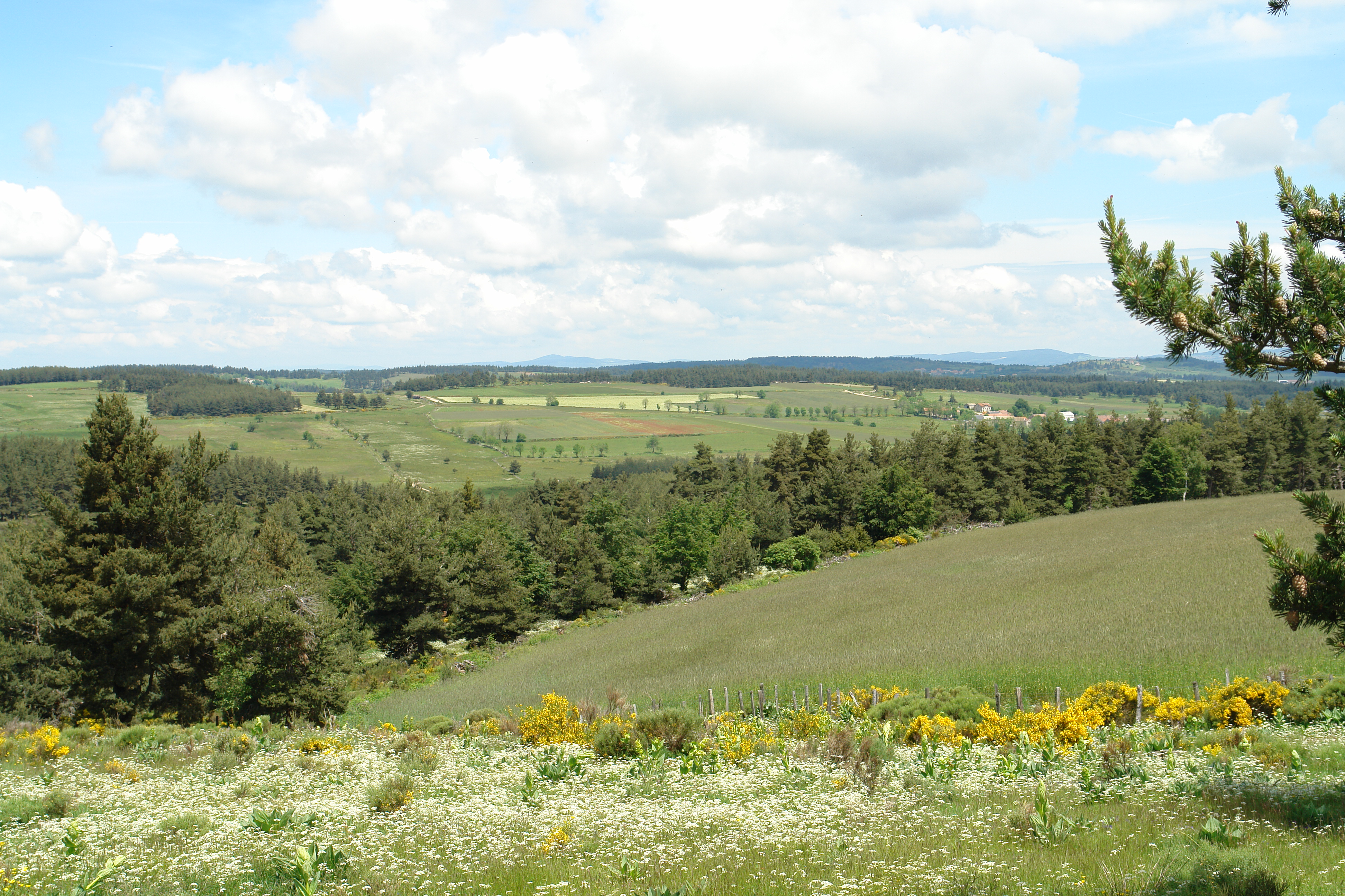
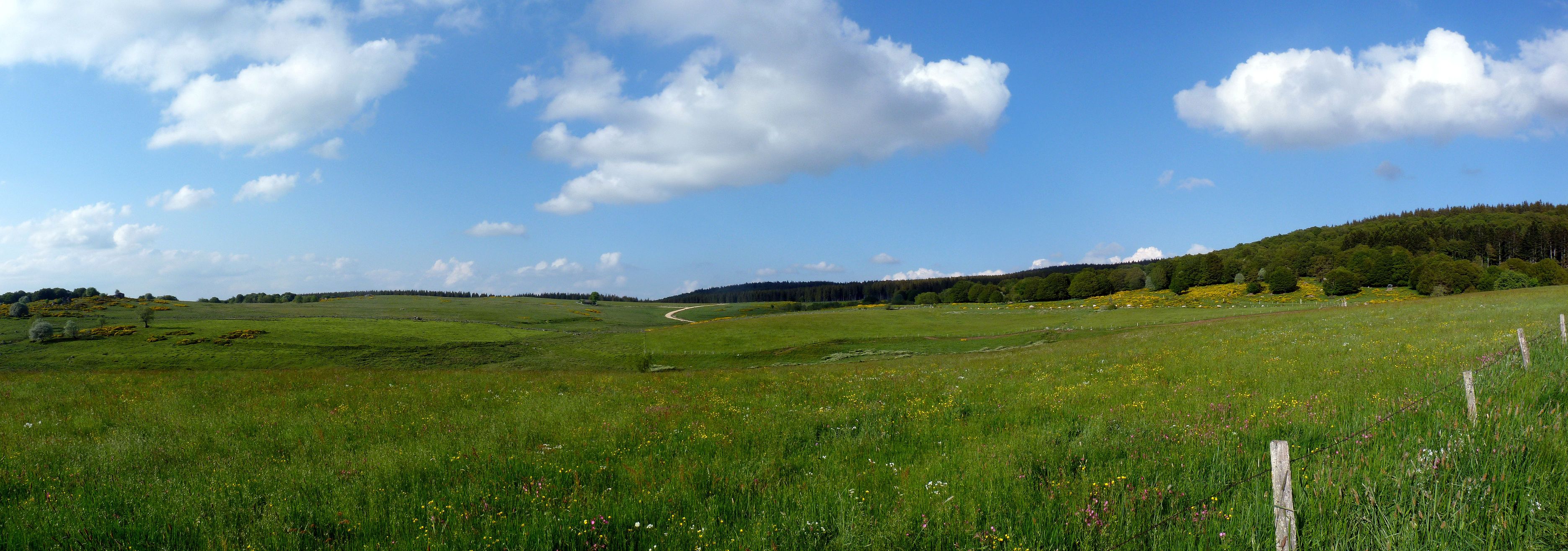
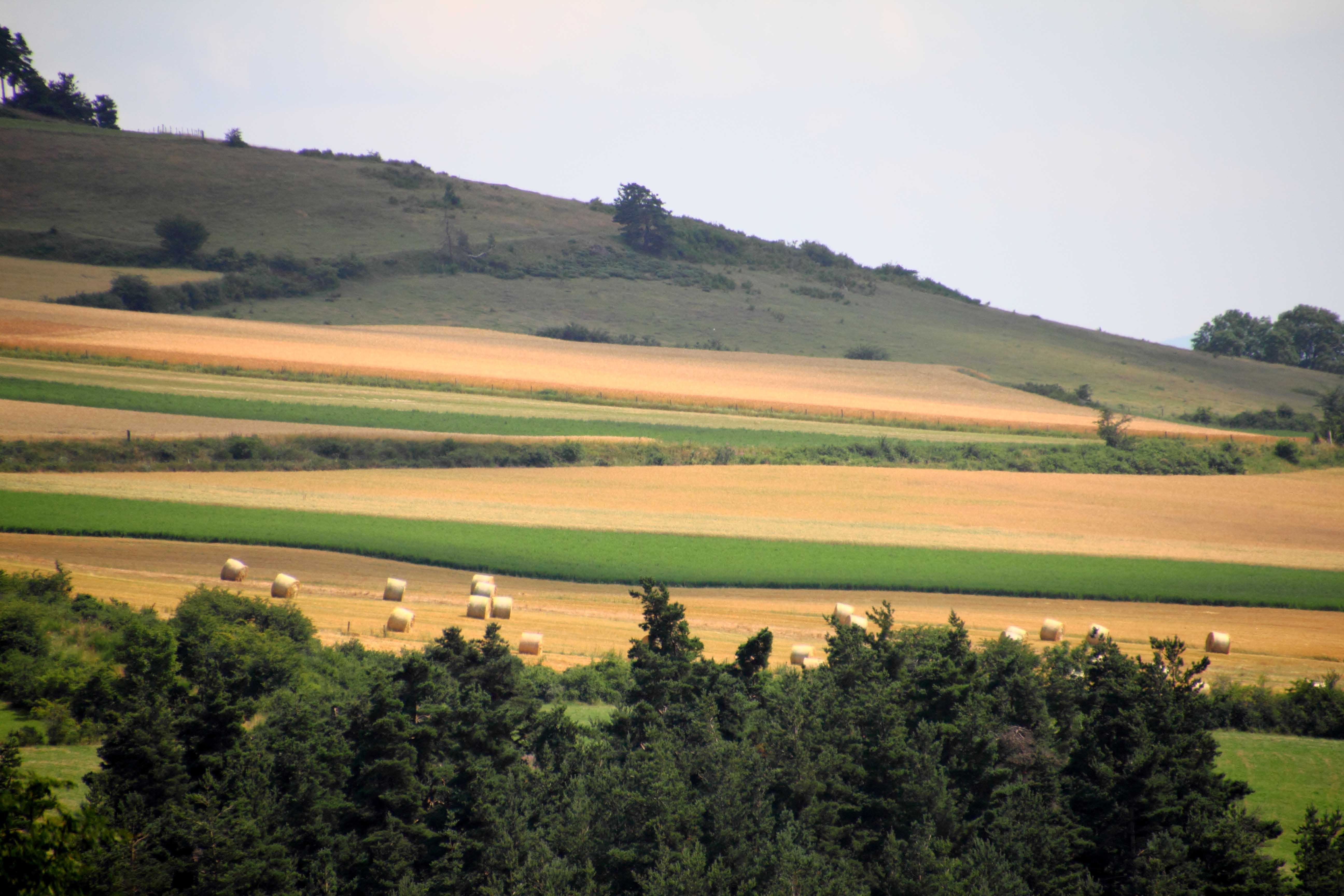
Lozere landscape
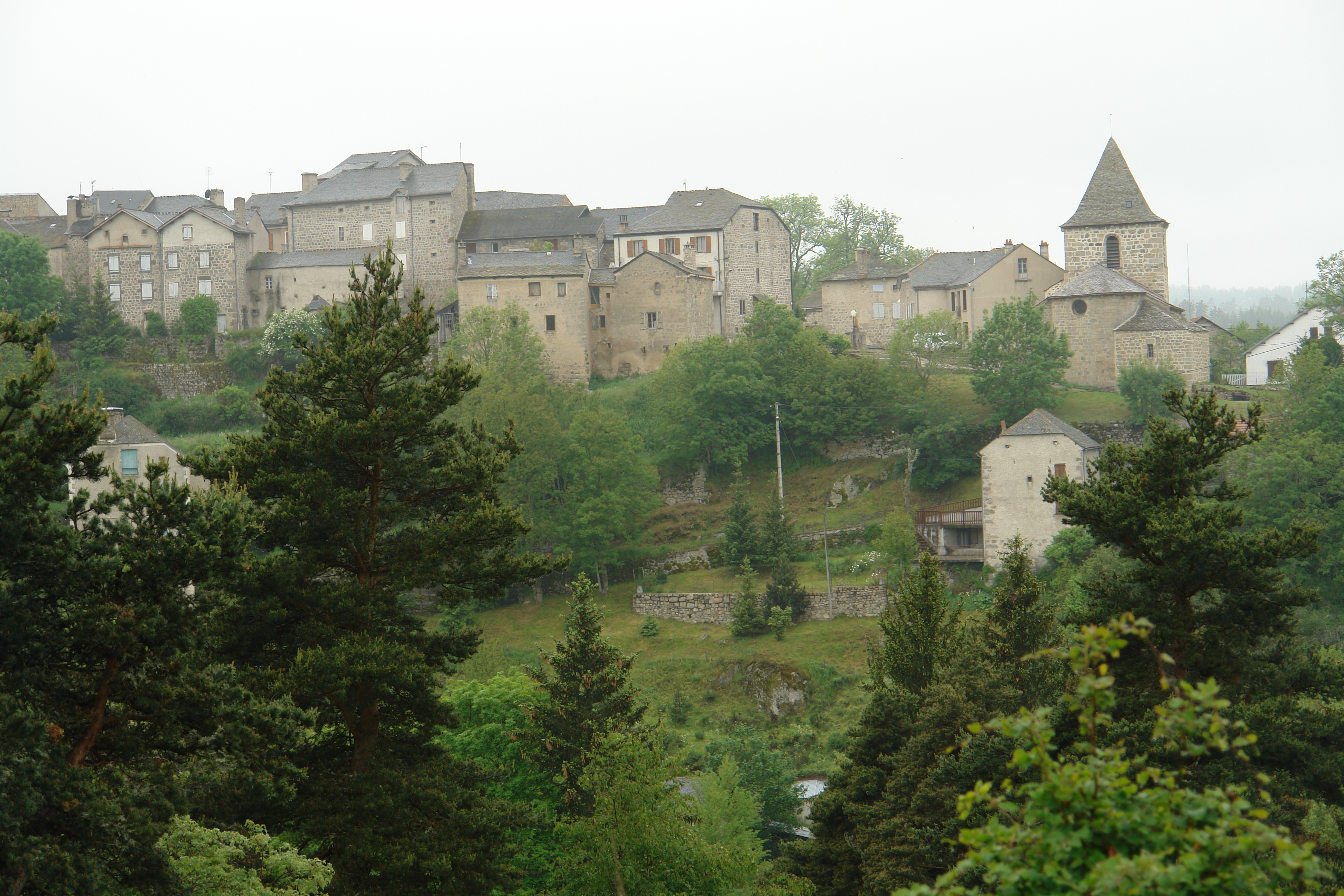
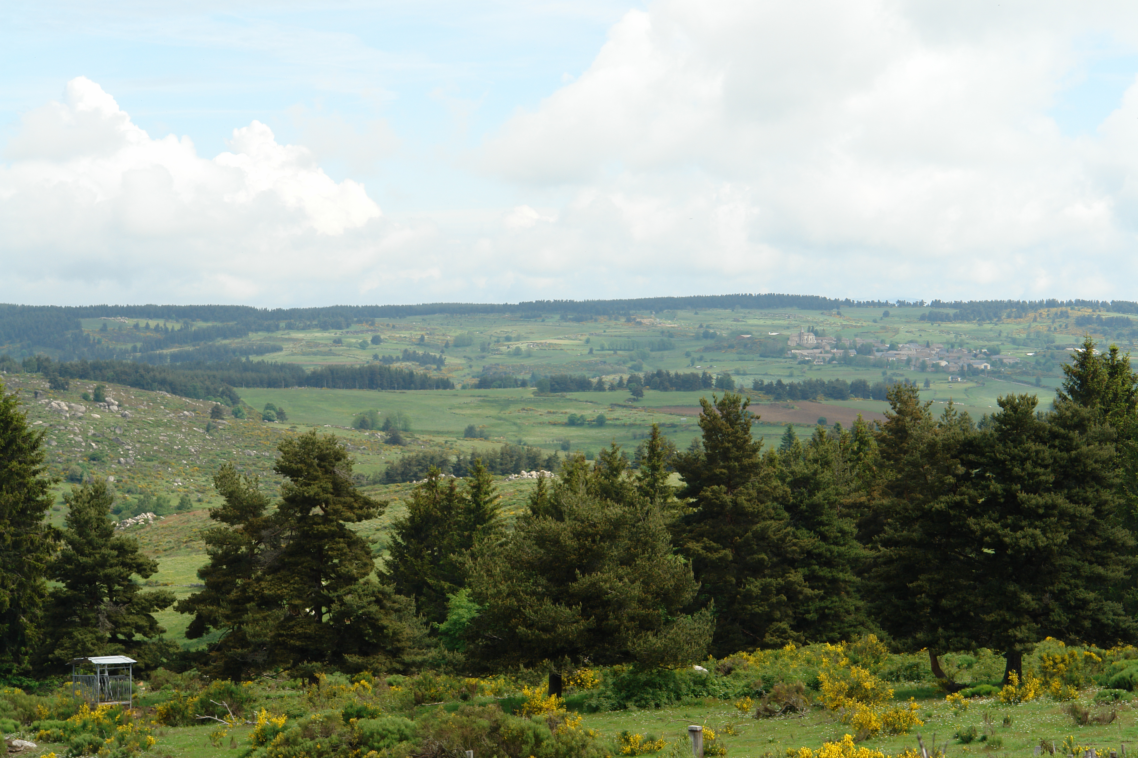
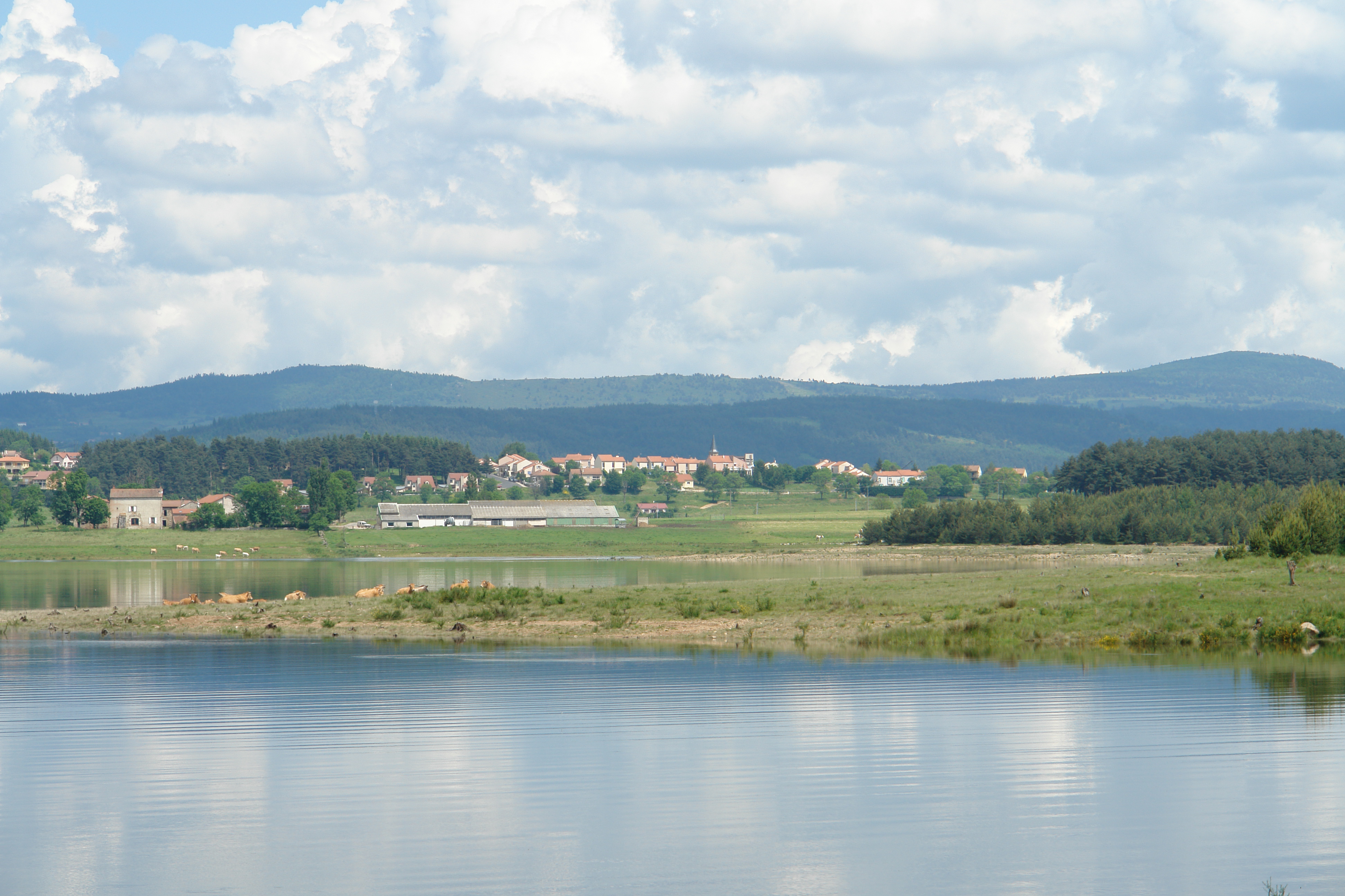
Grandrieu from across the valley
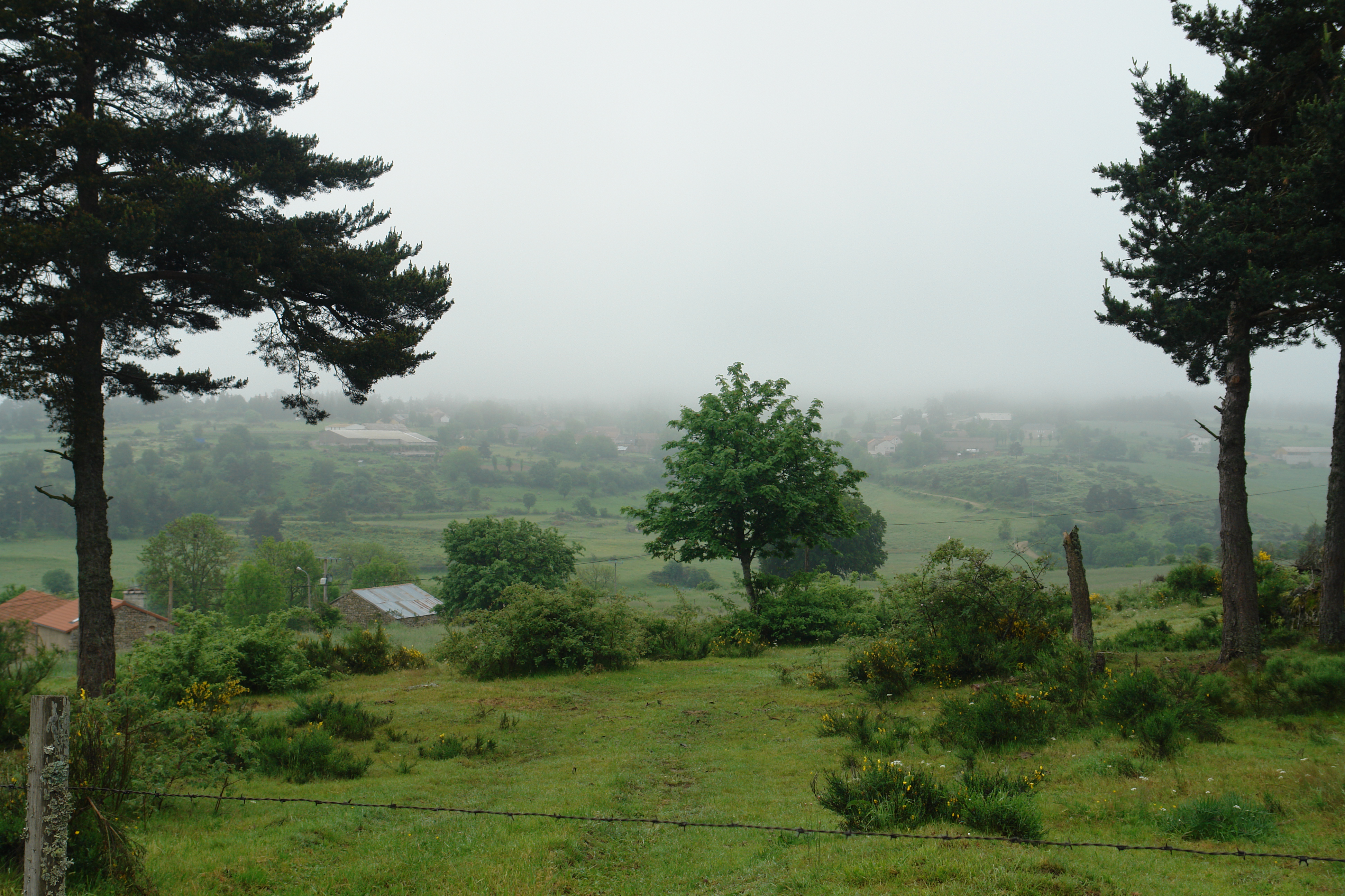
Misty morning near le Masel
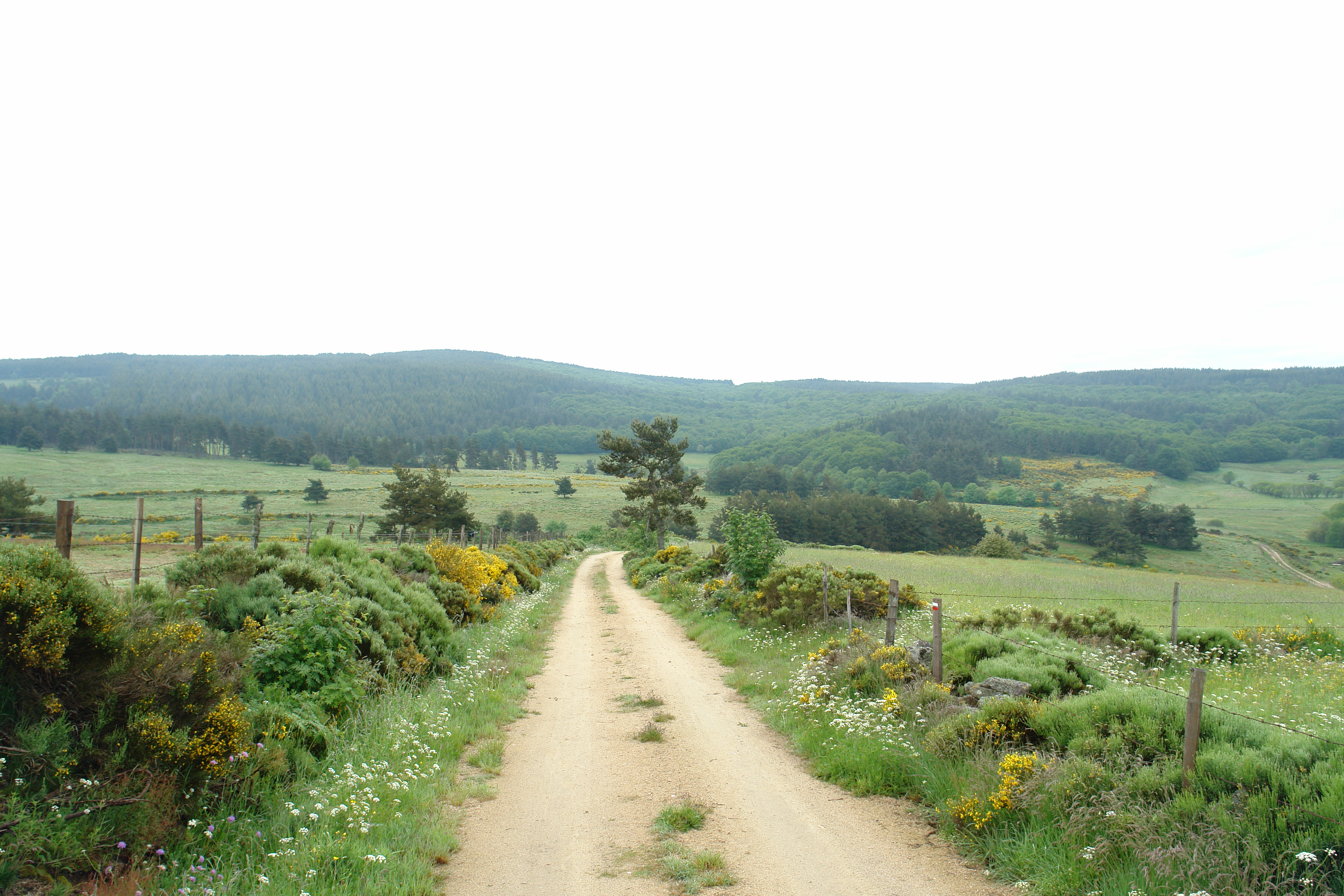
The path to Grandrieu
A misty, moisty morning
In the Lozere
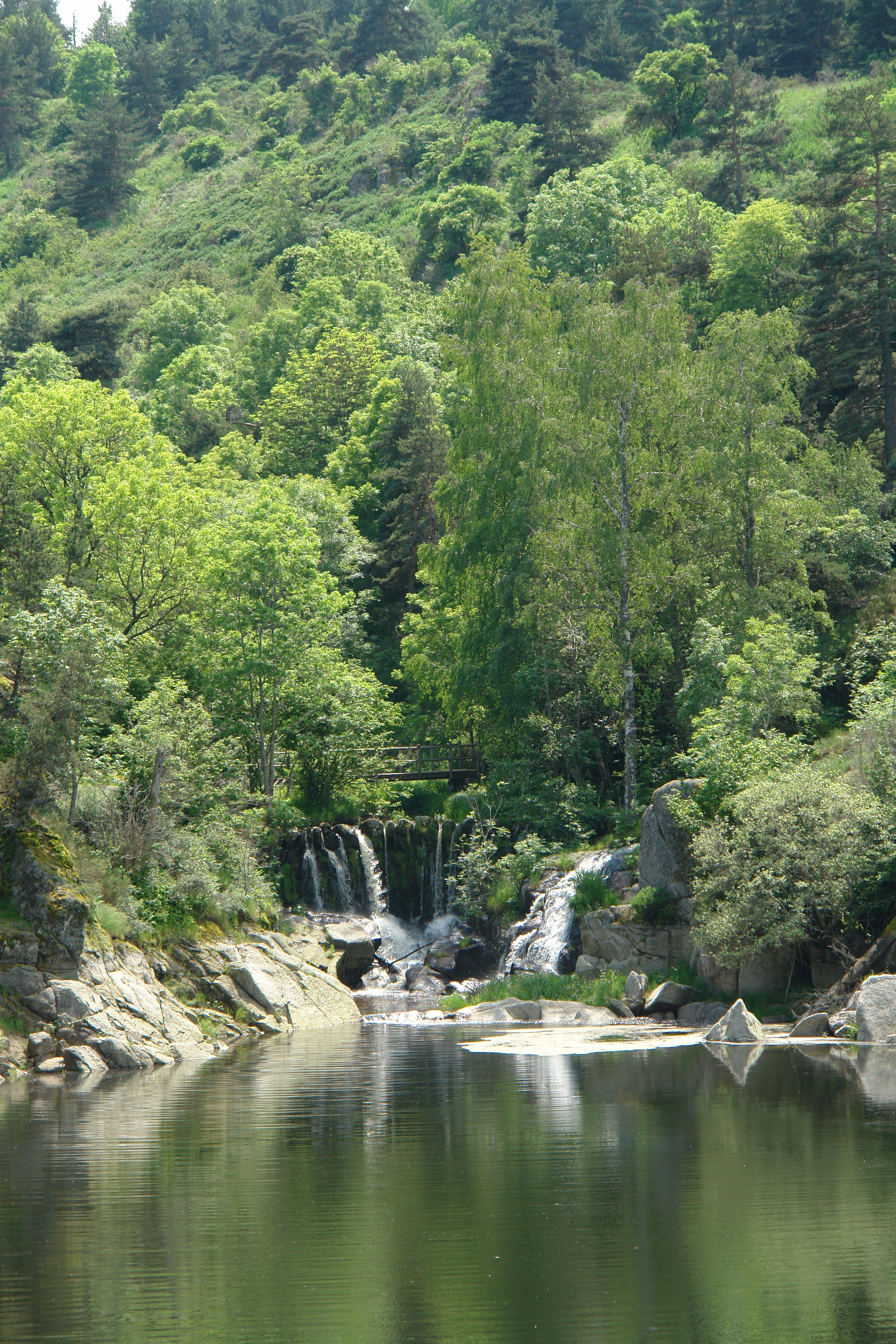
La Cascade aux Fadarelles
IMG_8418.JPG
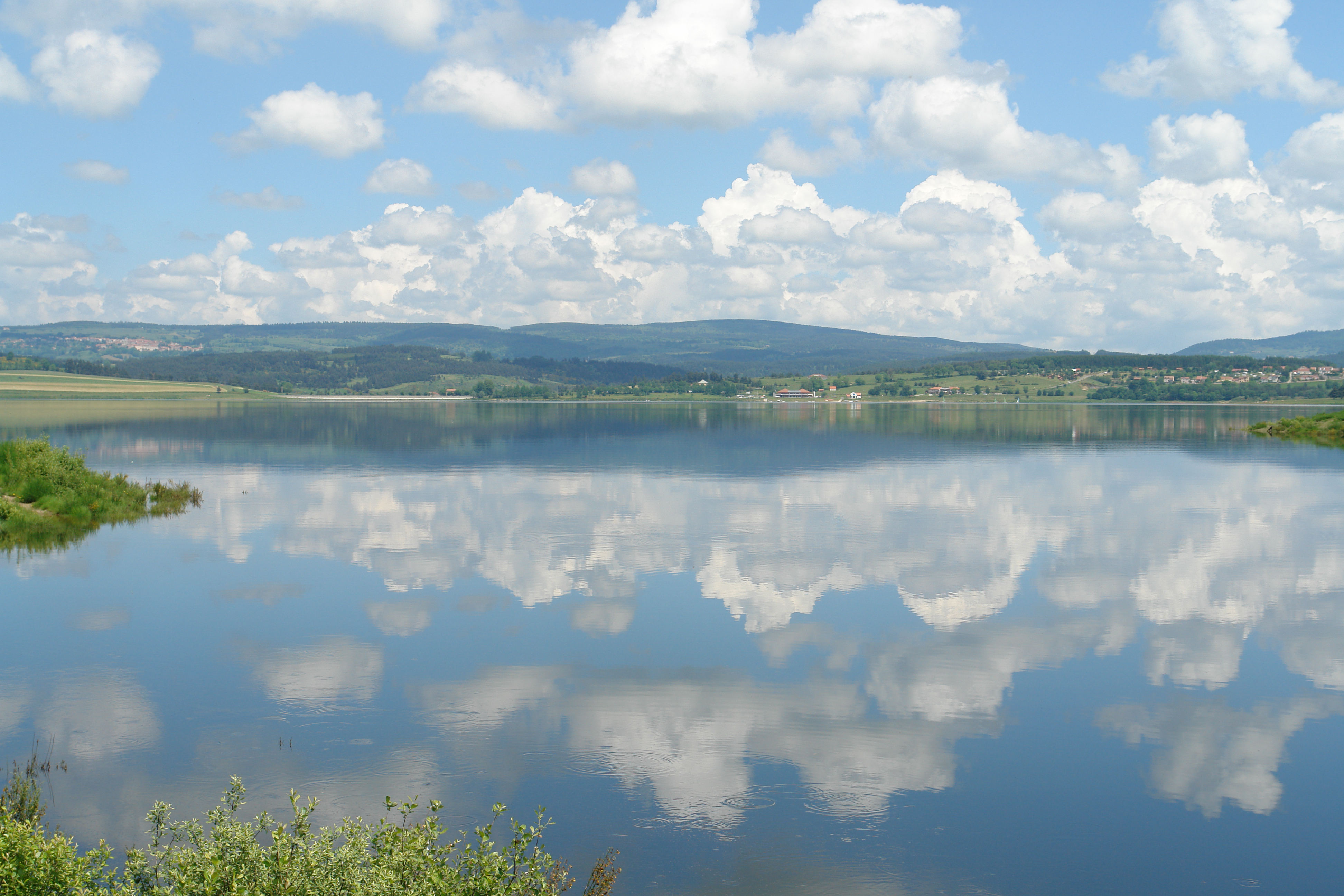
The Barrage de Naussac
Langogne across the lake
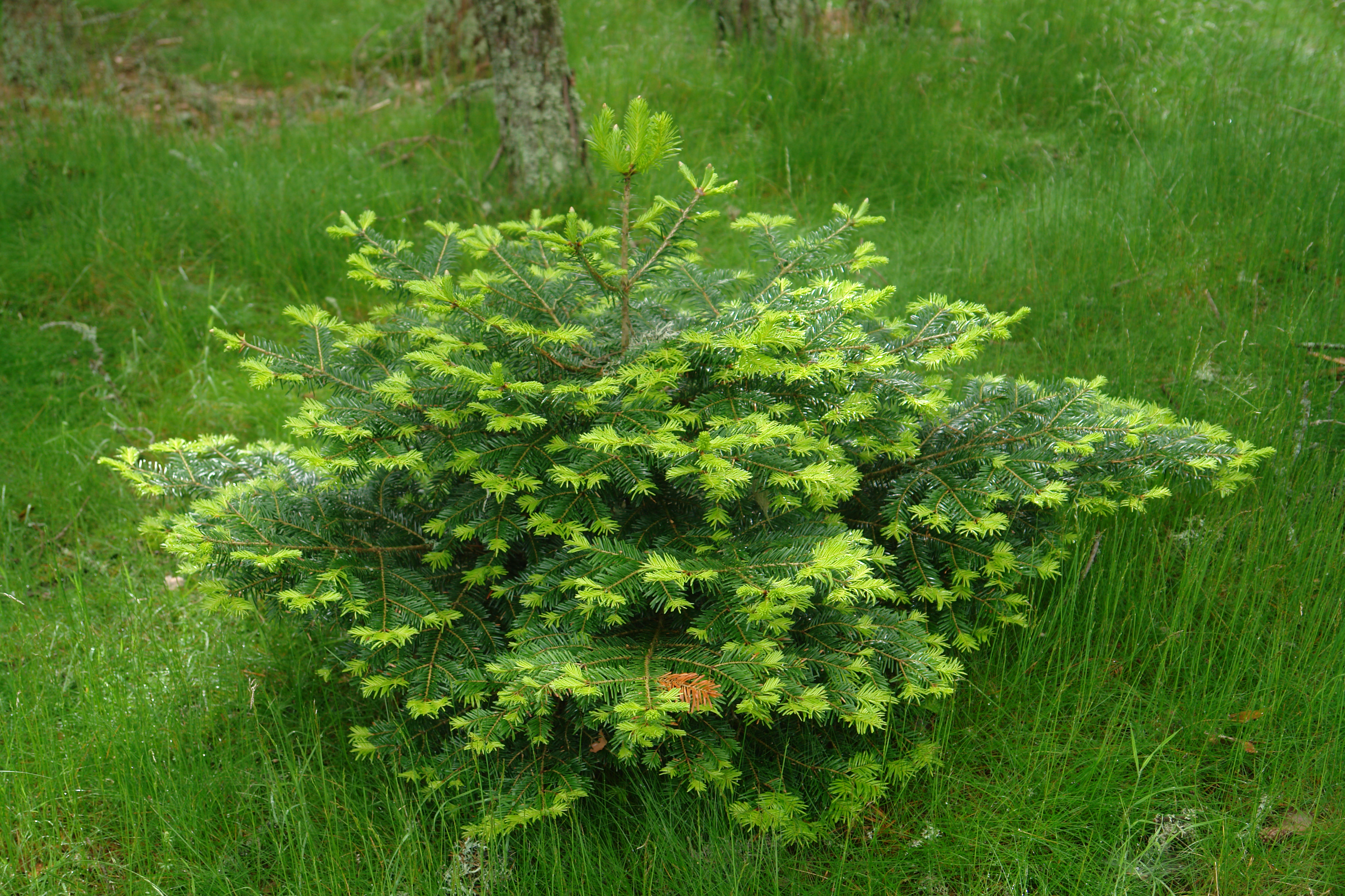
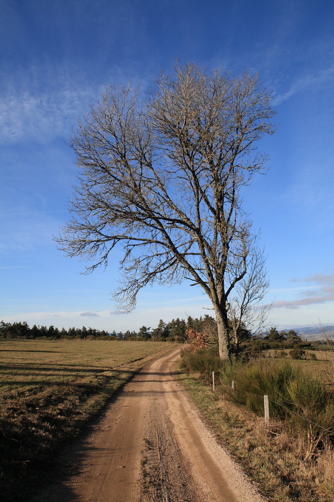
Wee tree
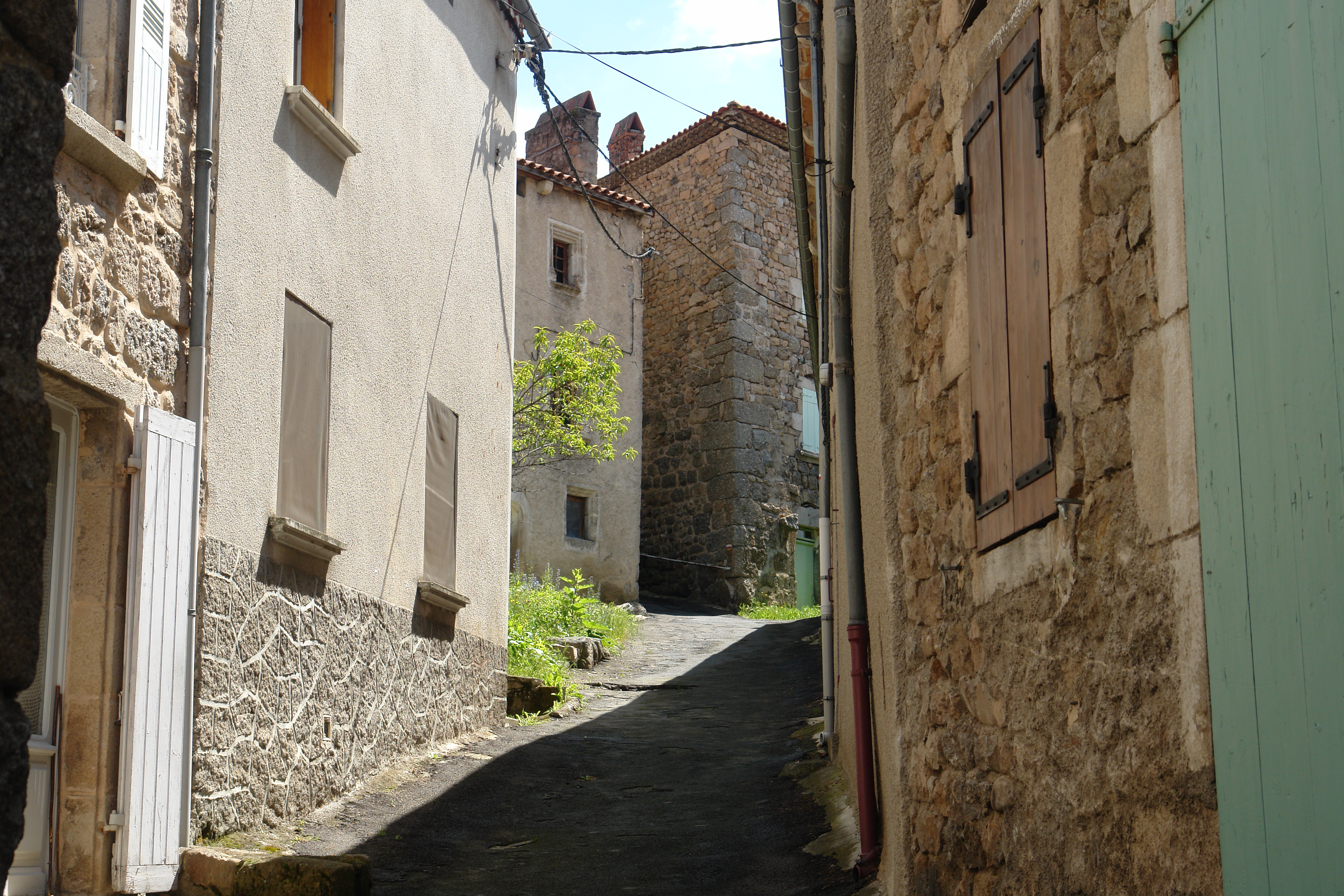
Approaching Grandrieu
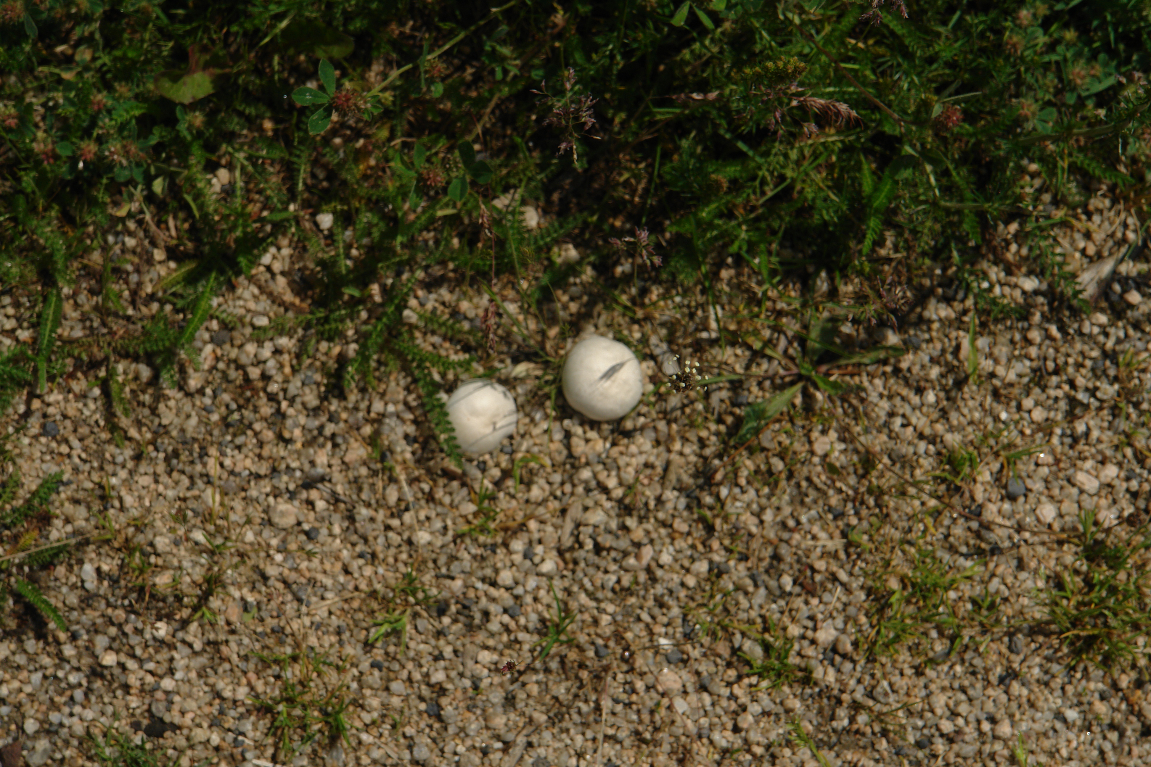
Not golf balls but mushrooms
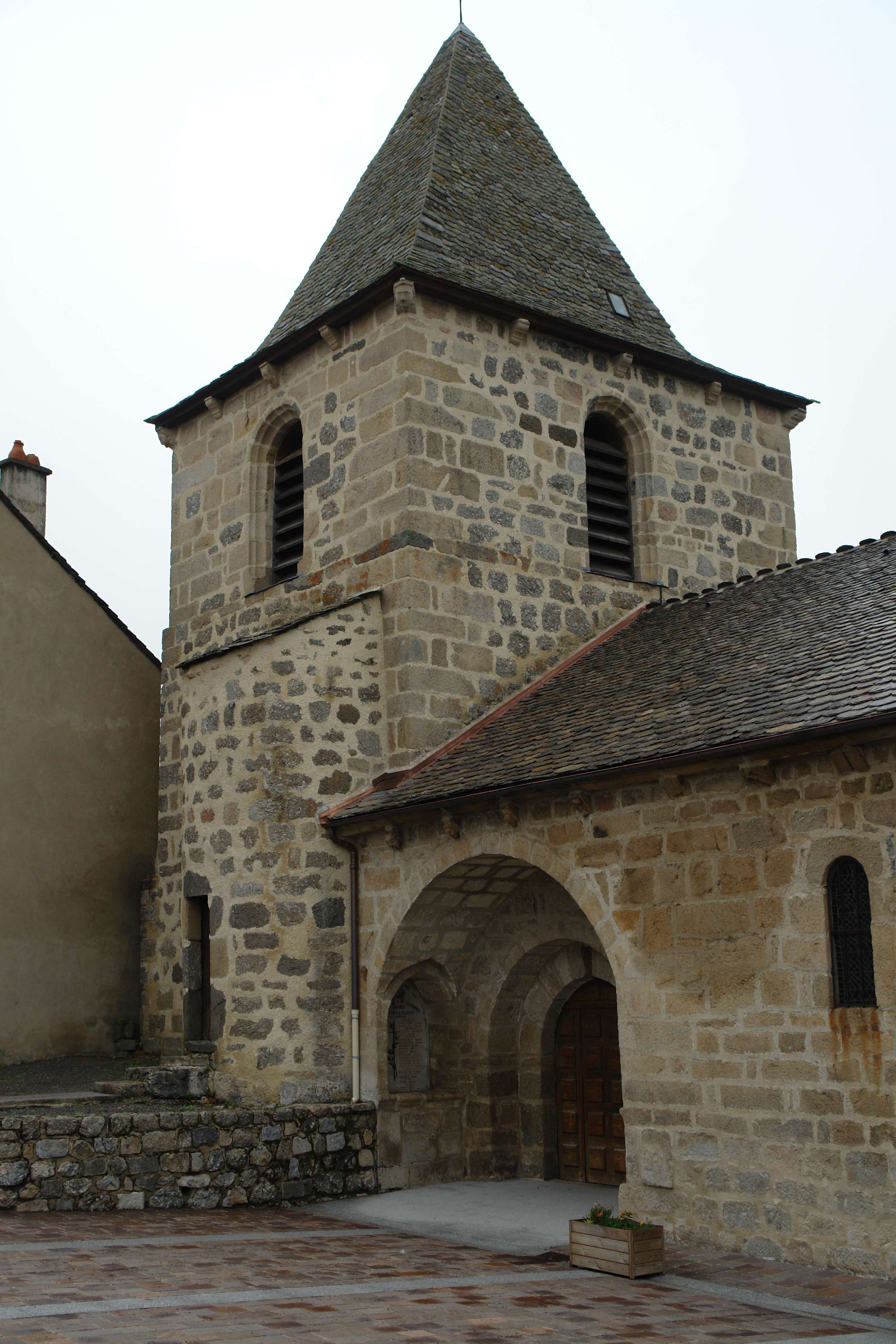
Grandrieu Church
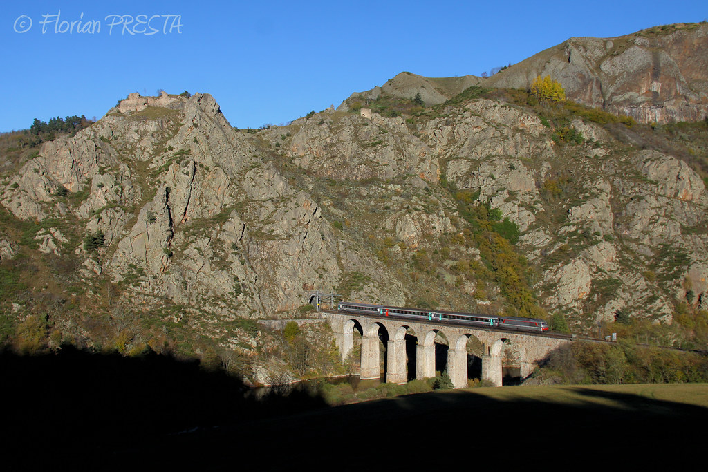
11/2013 - Le Nouveau Monde - Viaduc du Thord (43) - BB 67574 + Rame Corail+ - IC 15957 ''Cévenol'' (Clermont - Nîmes)

Paesaggio vicino Le Sauvage
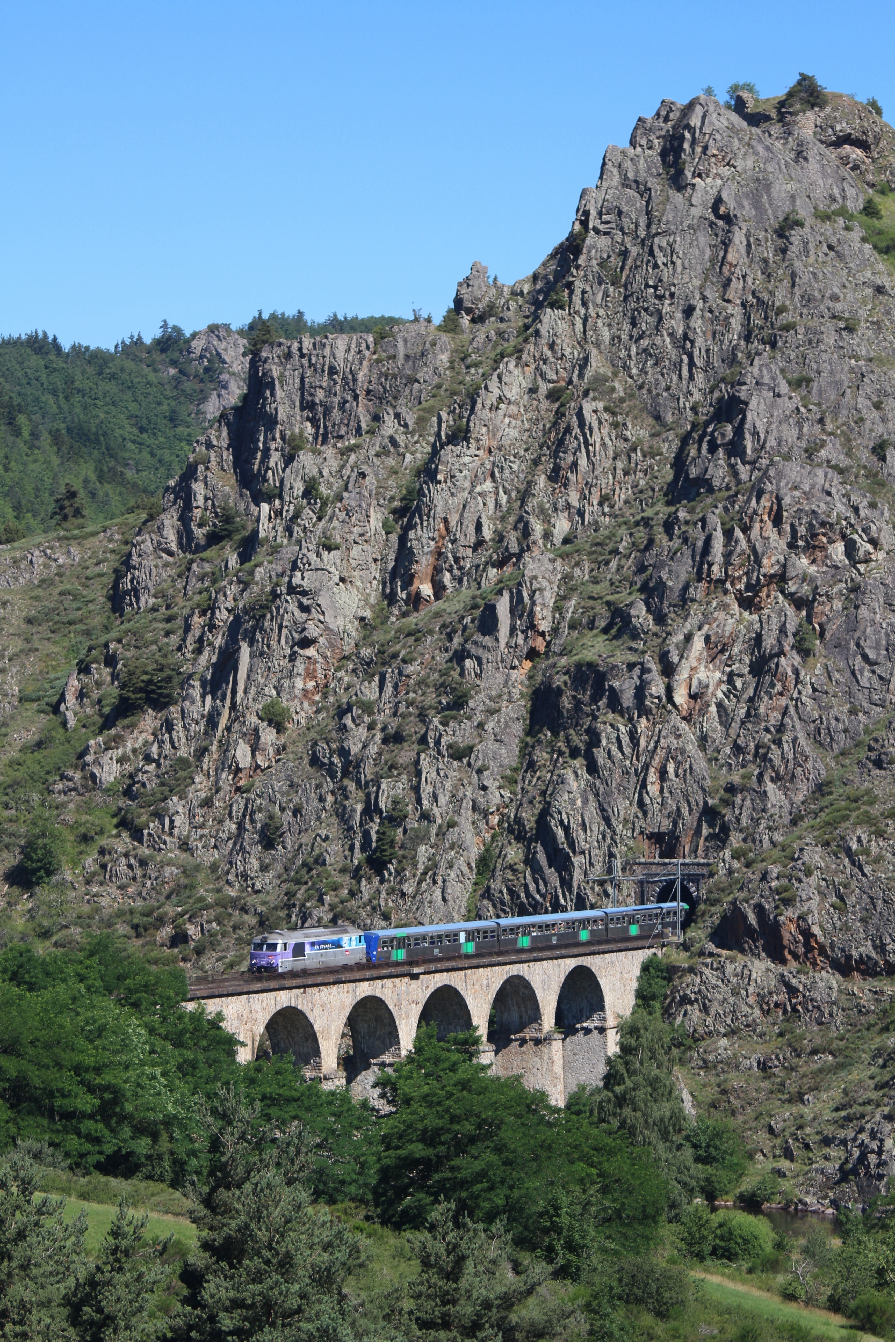
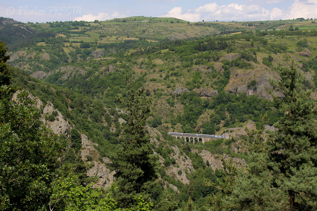
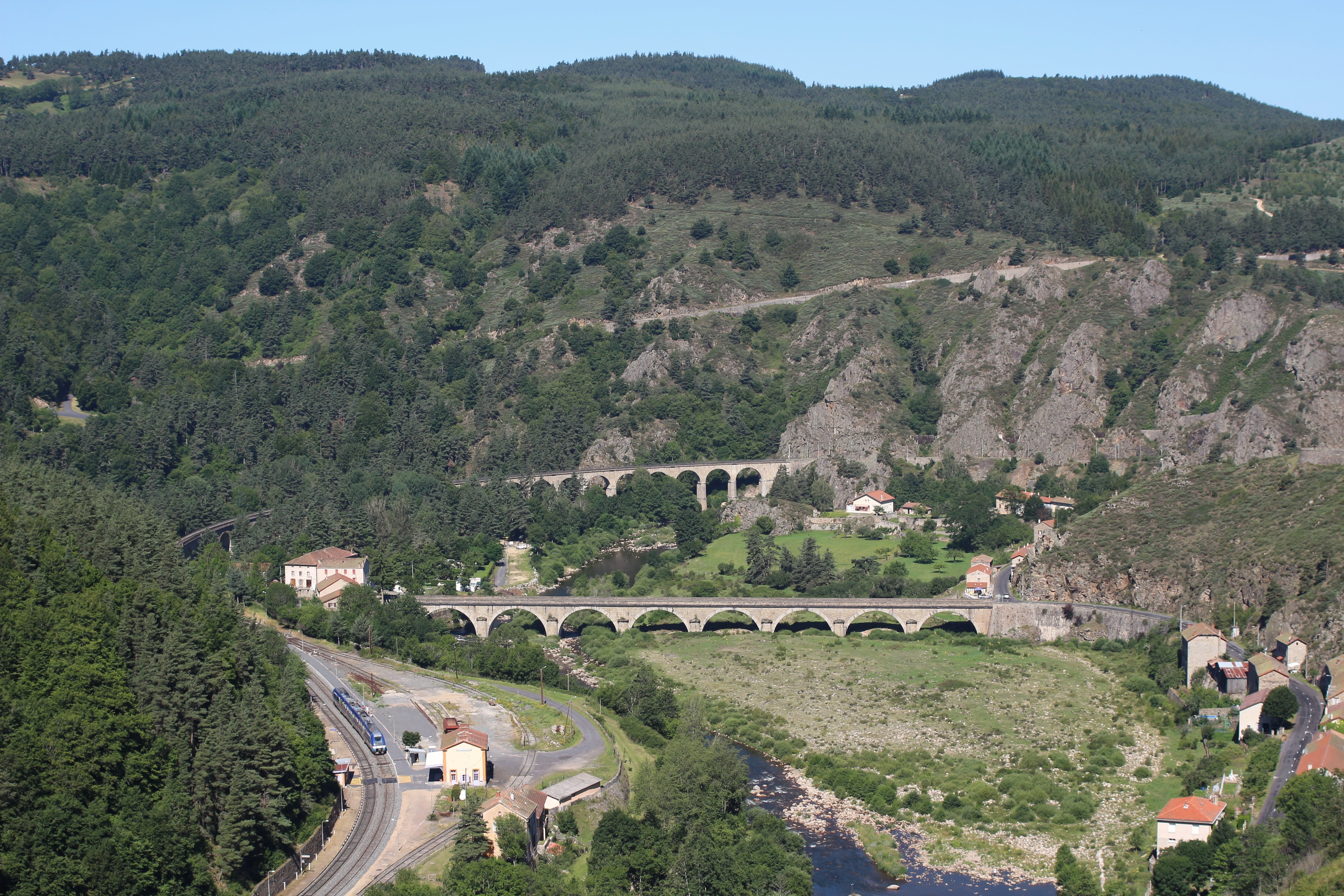
Viaduc du Thord 17 07 2014
lozére1
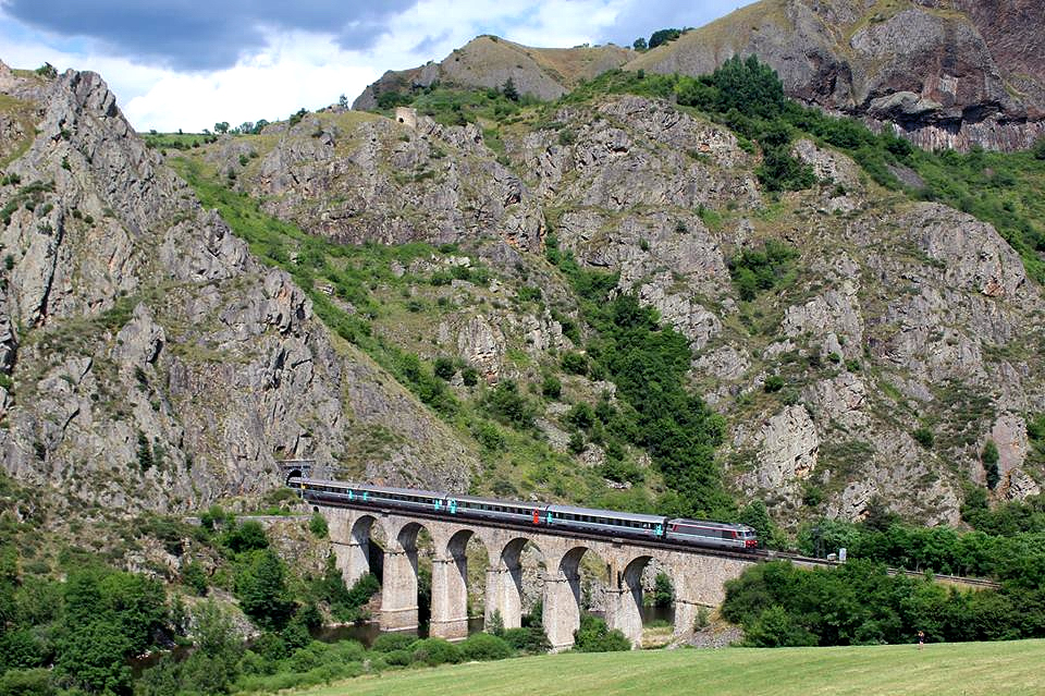
Le Cévenol sur le viaduc du Thord
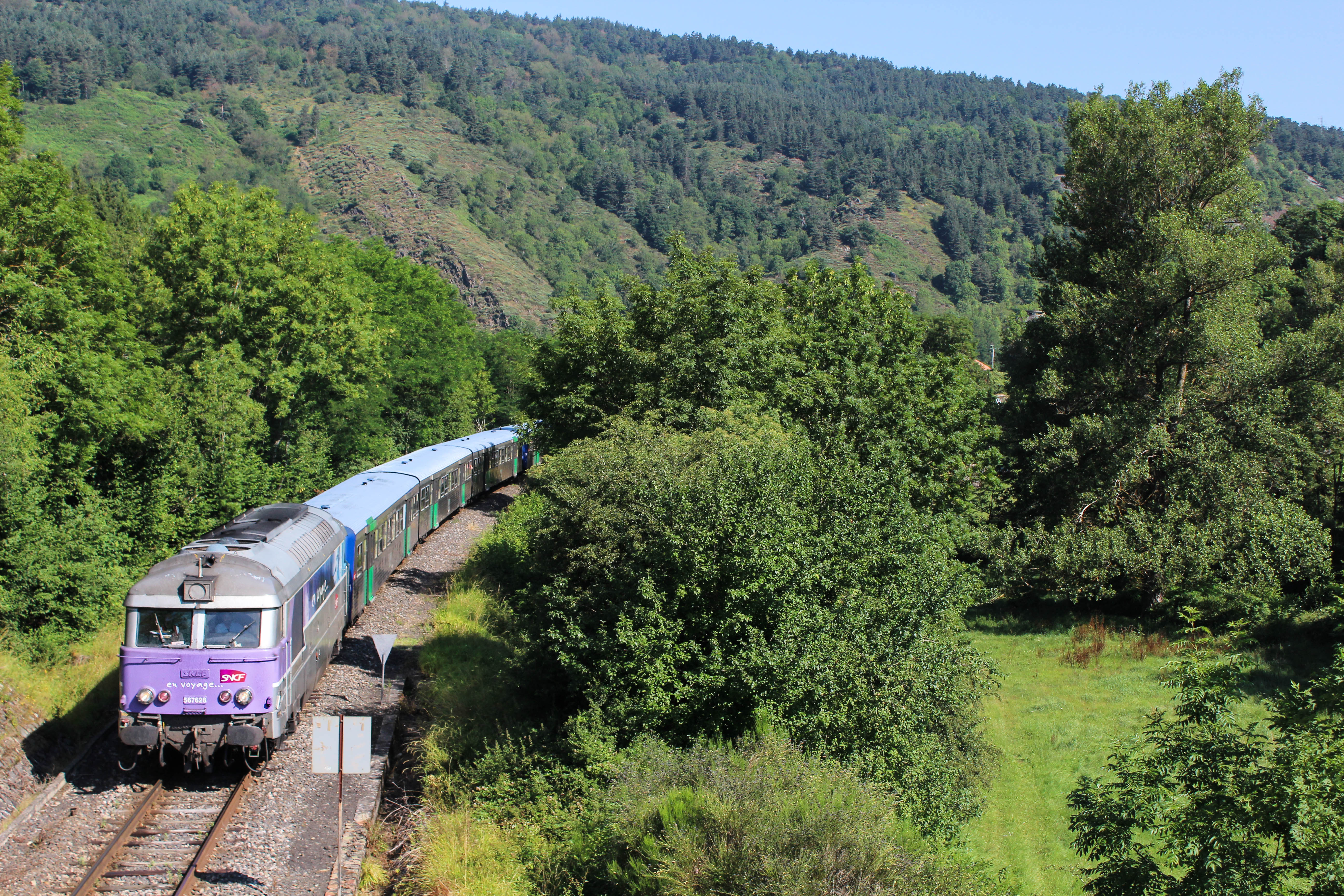
06/2014 - Saint-Haon (FR-43) - SNCF BB 67628 + Rame Corail+ - IC 15957 "Cévenol" (Clermont - Nîmes)
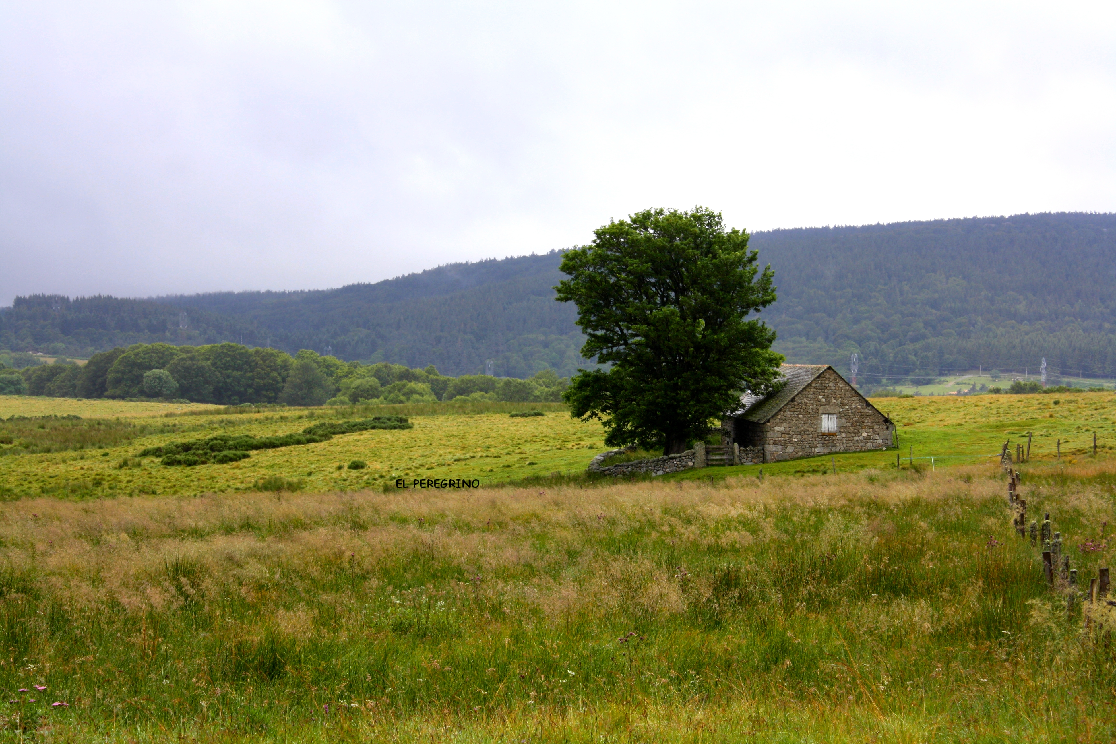
La casa nella prateria 2
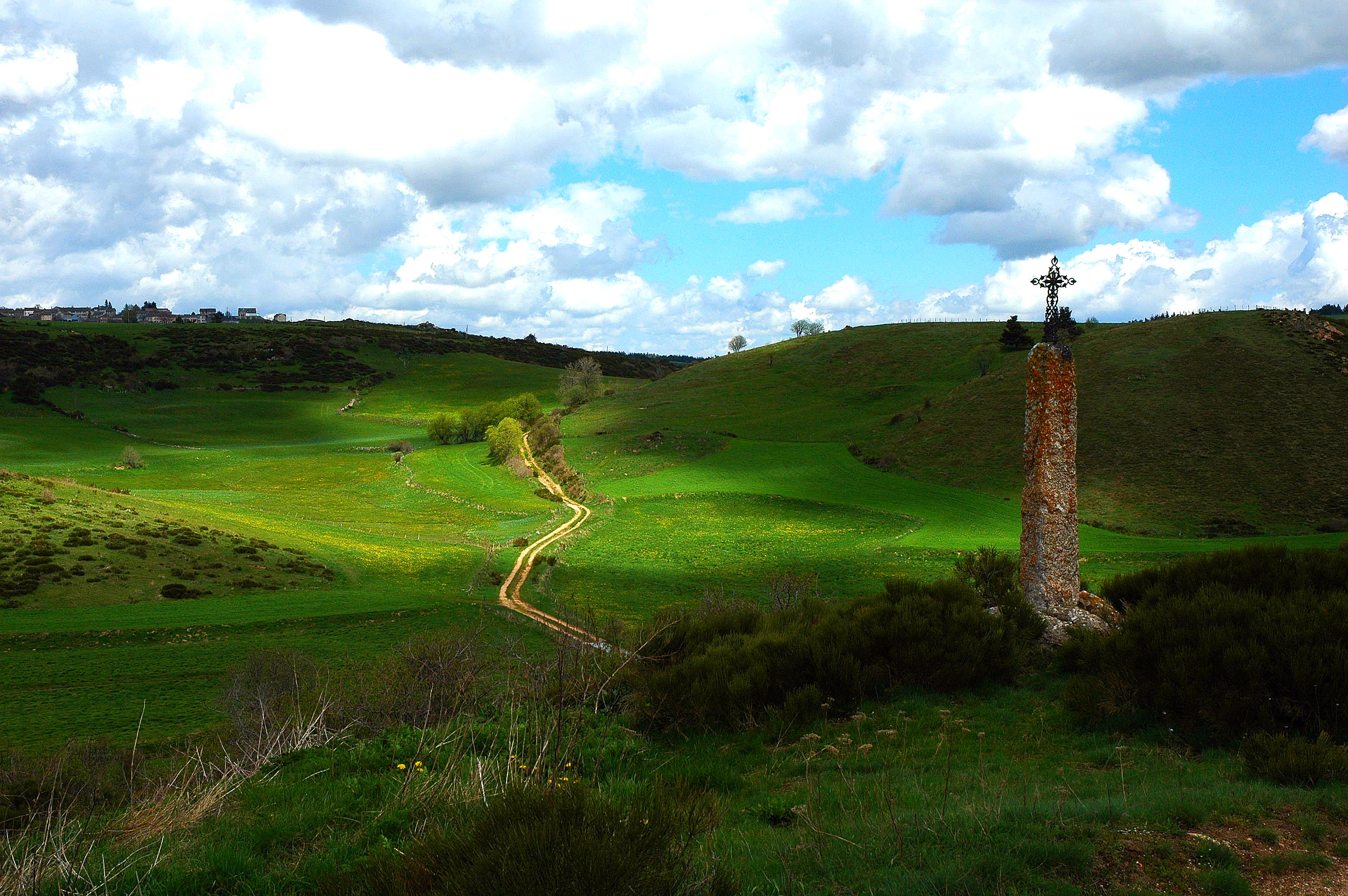
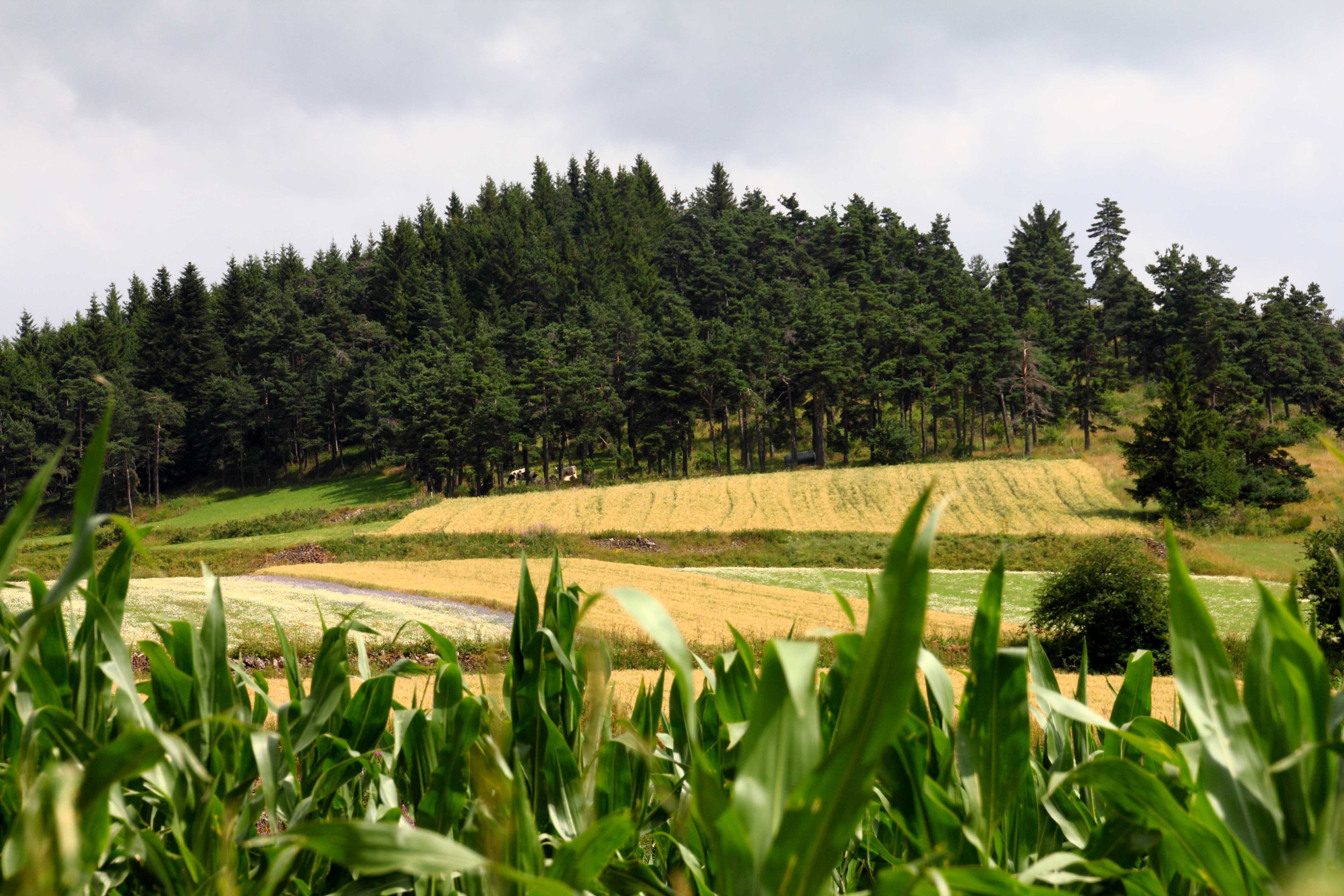
printemps lozérien !
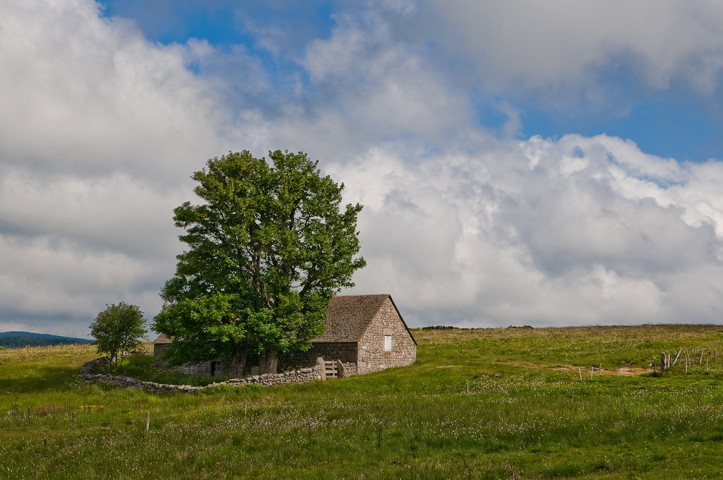
Le Domaine du Sauvage
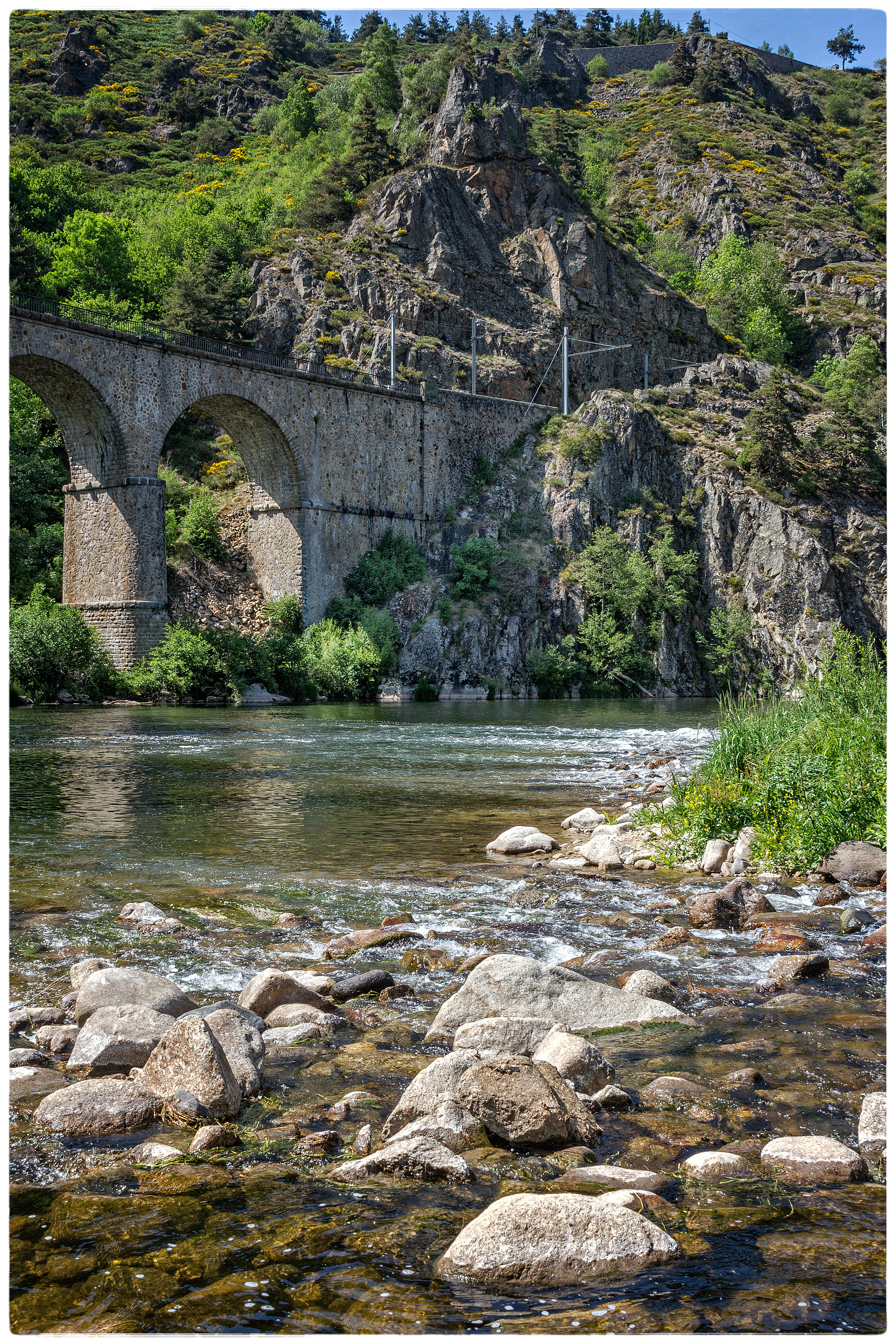
Chapeauroux 17 07 2014
l'Allier à Châpeauroux
De retour de Pierre Blanche
VELAY-Rando-Arquejols-08
67628 vers Alleyras
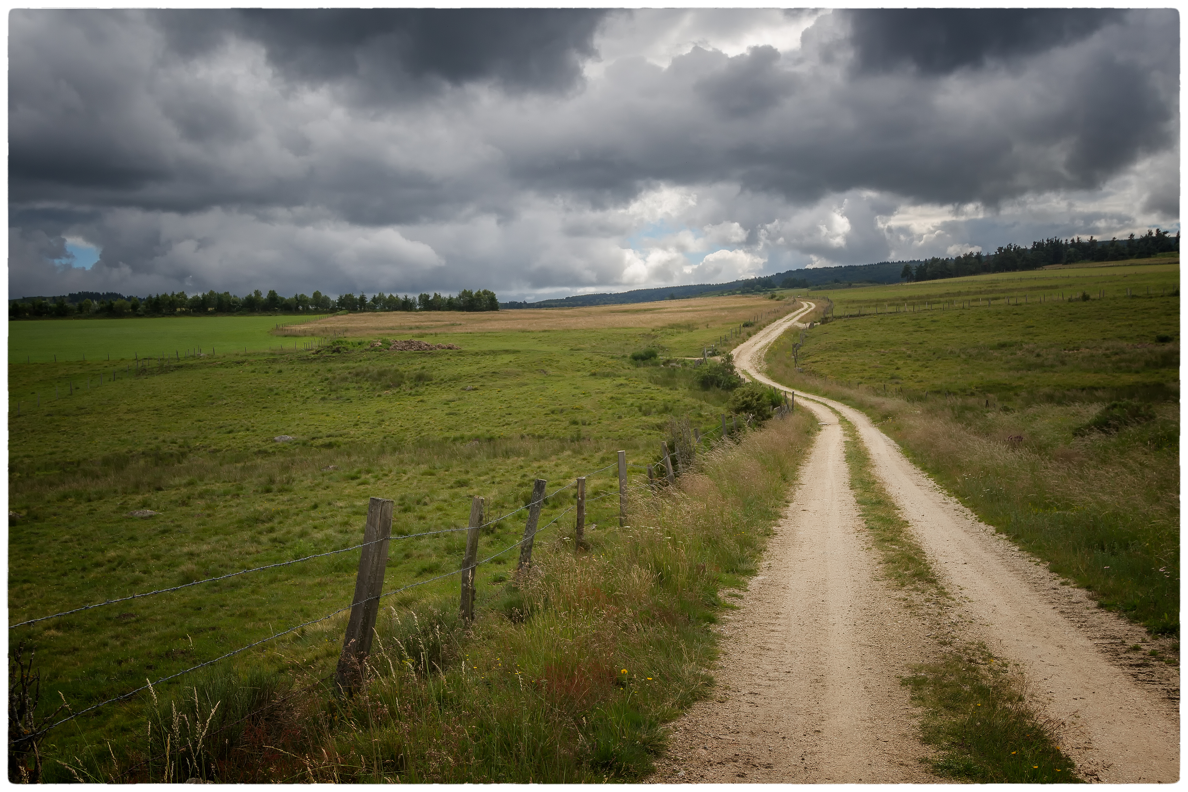
Via Podiensis
VELAY-Rando-Arquejols-01
LE SAUVAGE , sur les Chemins de Saint-Jacques de Compostelle entre Monistrol d'Allier et Aumont -Aubrac
Panorama 2
VELAY-Rando-Arquejols-18

#hpstm 2
Via Podiensis
Topographic Map of Grandrieu, France
Find elevation by address:

Places in Grandrieu, France:
Places near Grandrieu, France:
Aubespeyres, Grandrieu, France
5248f
Saint-jean-la-fouillouse
Saint-préjet-d'allier
10 Place de la Mairie, Saint-Préjet-d'Allier, France
Saint-jean-lachalm
Saint-alban-sur-limagnole
Pradelles
Les Courses, Saint-Alban-sur-Limagnole, France
88 Avenue du Puy, Pradelles, France
Lozère
Mende
8 Rue de la Liberté, Mende, France
9 Rue Jacques Brel, Cussac-sur-Loire, France
Cussac-sur-loire
Le Bouchet, Aumont-Aubrac, France
79 Balsieges Village, Balsièges, France
Balsièges
Aumont-aubrac
Communauté De Communes La Terre De Peyre
Recent Searches:
- Elevation of Zimmer Trail, Pennsylvania, USA
- Elevation of 87 Kilmartin Ave, Bristol, CT, USA
- Elevation of Honghe National Nature Reserve, QP95+PJP, Tongjiang, Heilongjiang, Jiamusi, Heilongjiang, China
- Elevation of Hercules Dr, Colorado Springs, CO, USA
- Elevation of Szlak pieszy czarny, Poland
- Elevation of Griffing Blvd, Biscayne Park, FL, USA
- Elevation of Kreuzburger Weg 13, Düsseldorf, Germany
- Elevation of Gateway Blvd SE, Canton, OH, USA
- Elevation of East W.T. Harris Boulevard, E W.T. Harris Blvd, Charlotte, NC, USA
- Elevation of West Sugar Creek, Charlotte, NC, USA