Elevation of Larrys River, NS B0H, Canada
Location: Canada > Nova Scotia > Guysborough County > Guysborough >
Longitude: -61.377005
Latitude: 45.221471
Elevation: 9m / 30feet
Barometric Pressure: 0KPa
Related Photos:
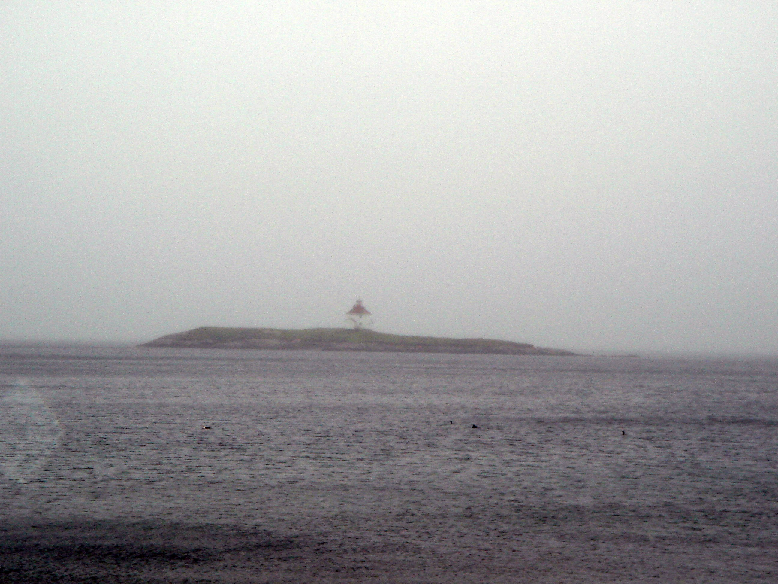
Queensport Lighthouse

Round Lake Beach, Larry's River

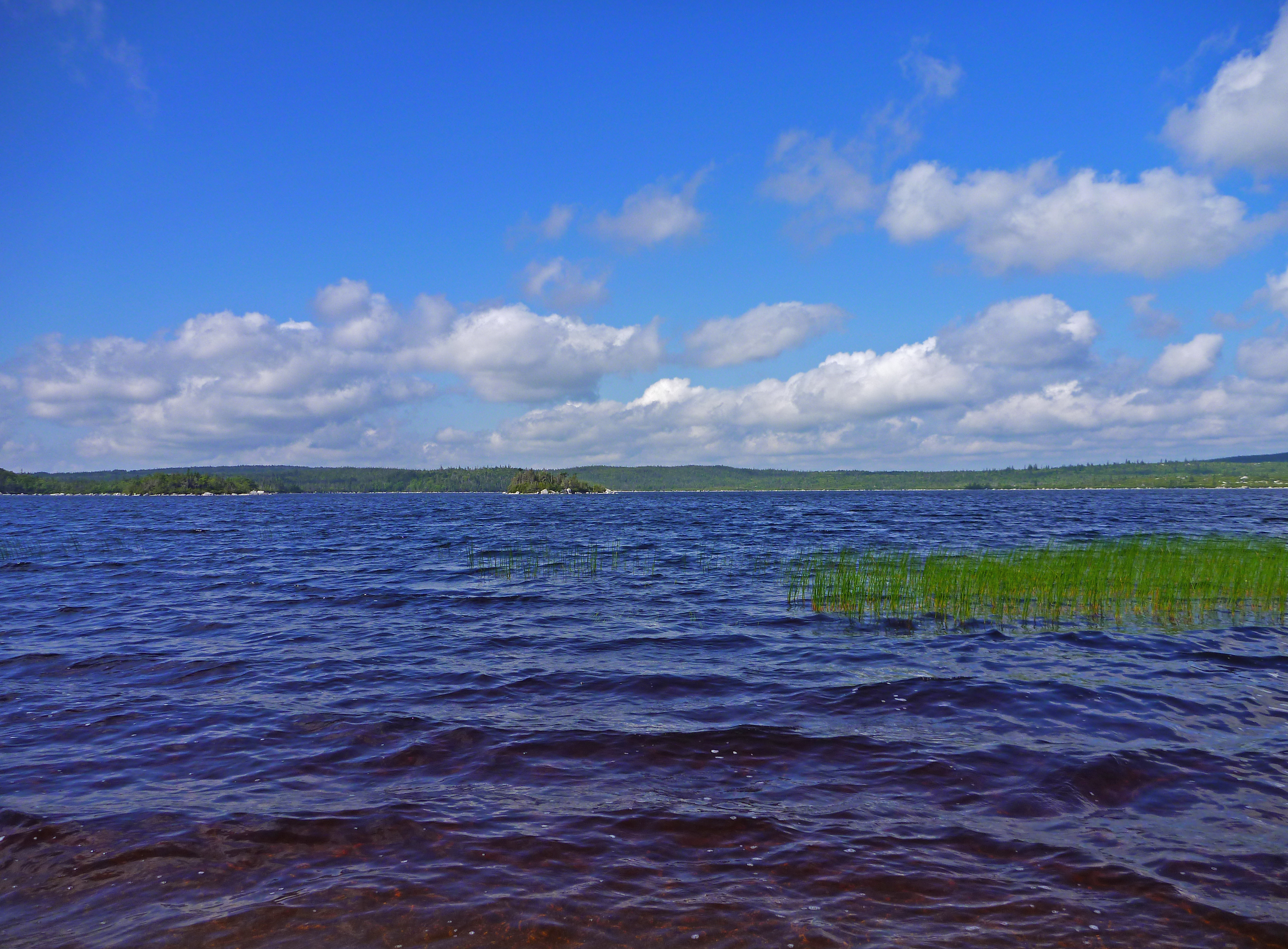
Bonnet Lake Beach
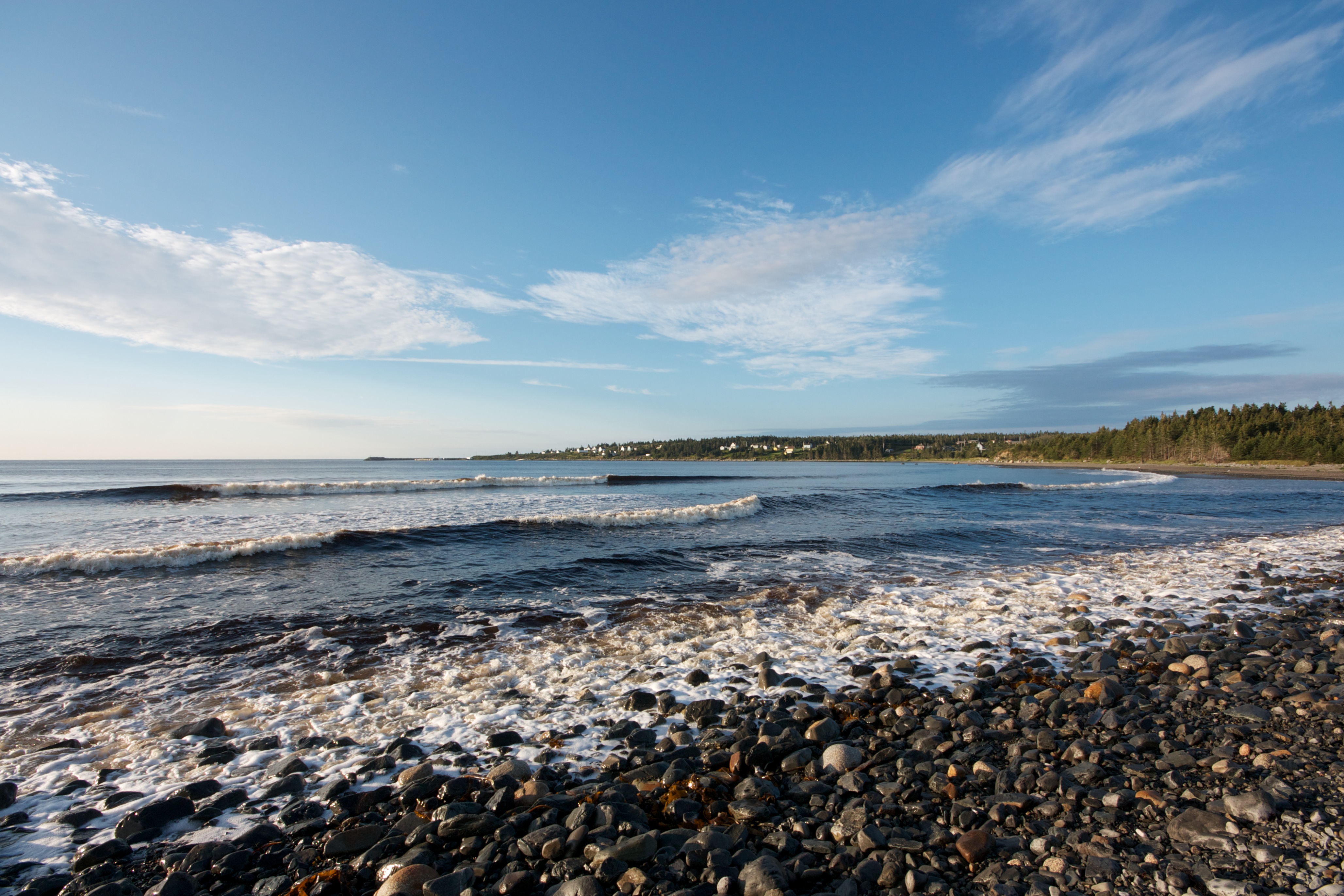
New Harbour beach
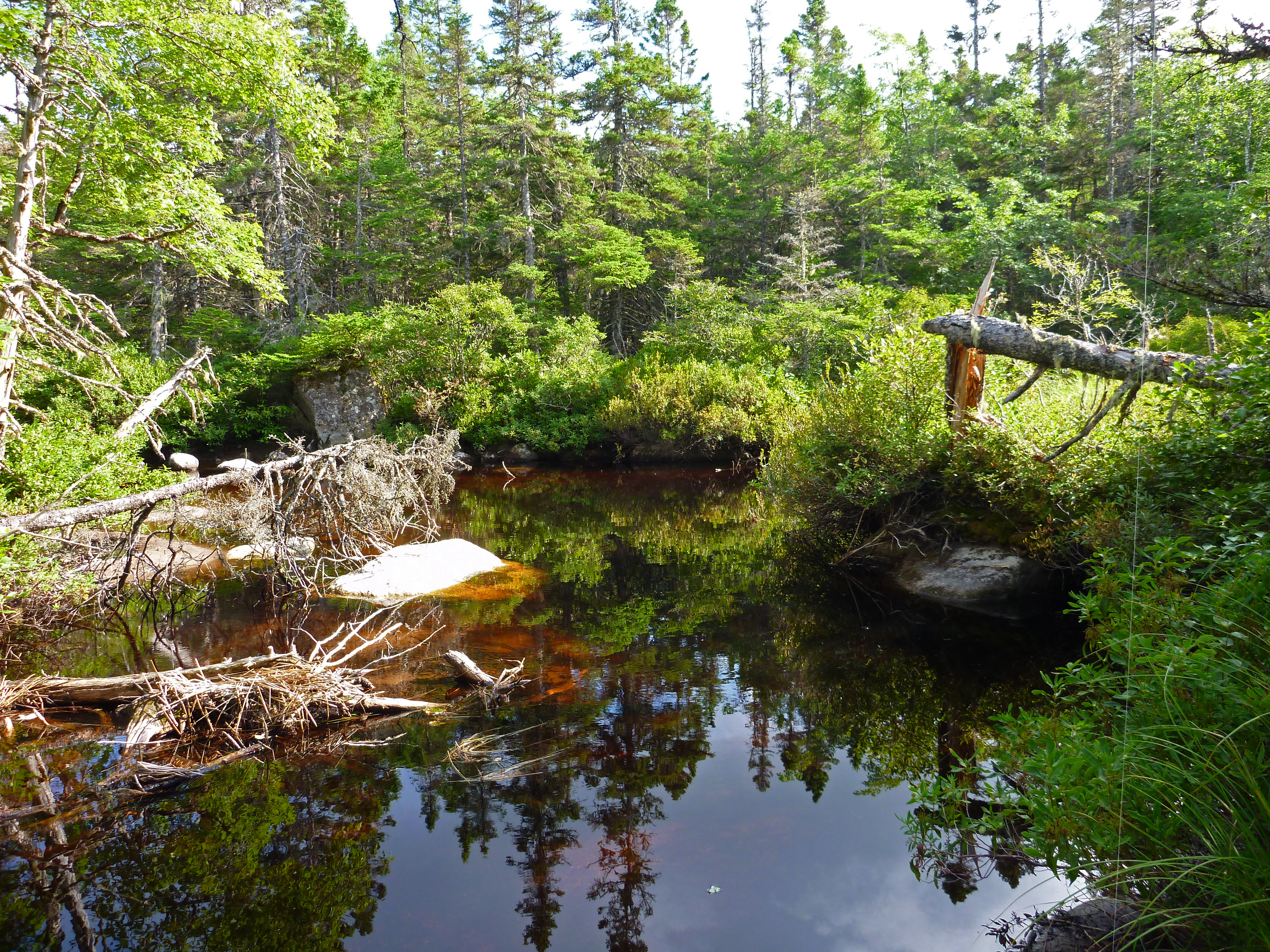
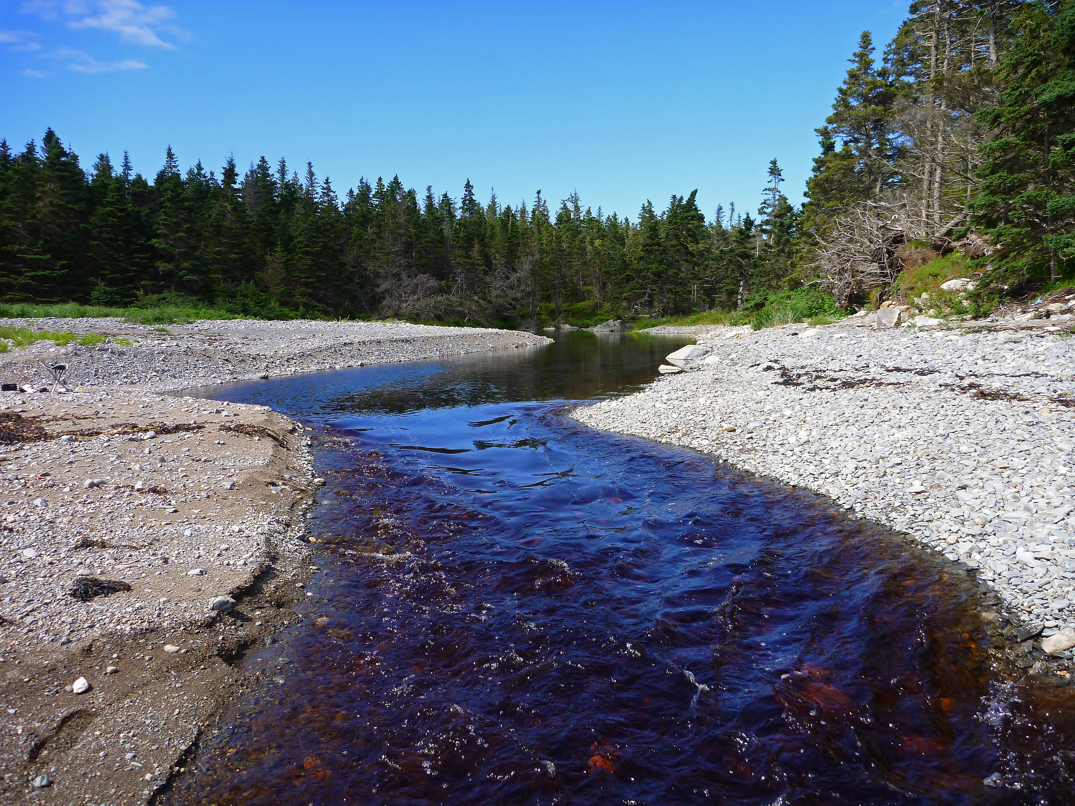
Bonnet Lake Brook
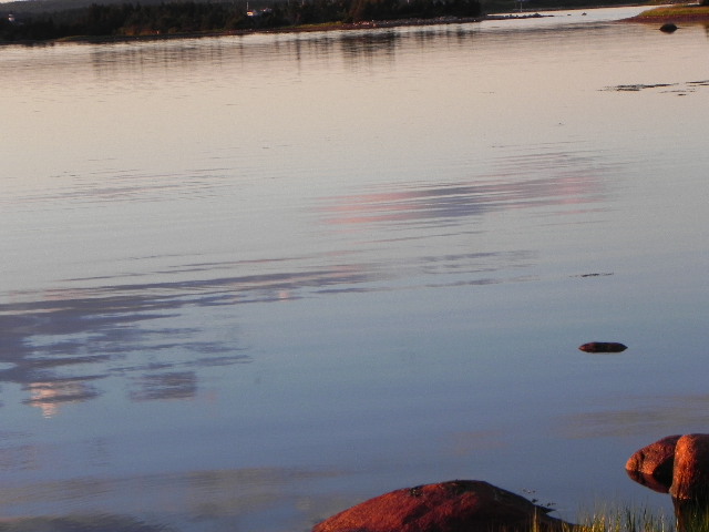
The 2 Islands and western shore from the beach
New Harbour campsite

Bonnet Lake 2

Tor Bay Park
Deep Hole in Eastern Brook
New Harbour Barrens Stitched
Bonnet Lake Beach
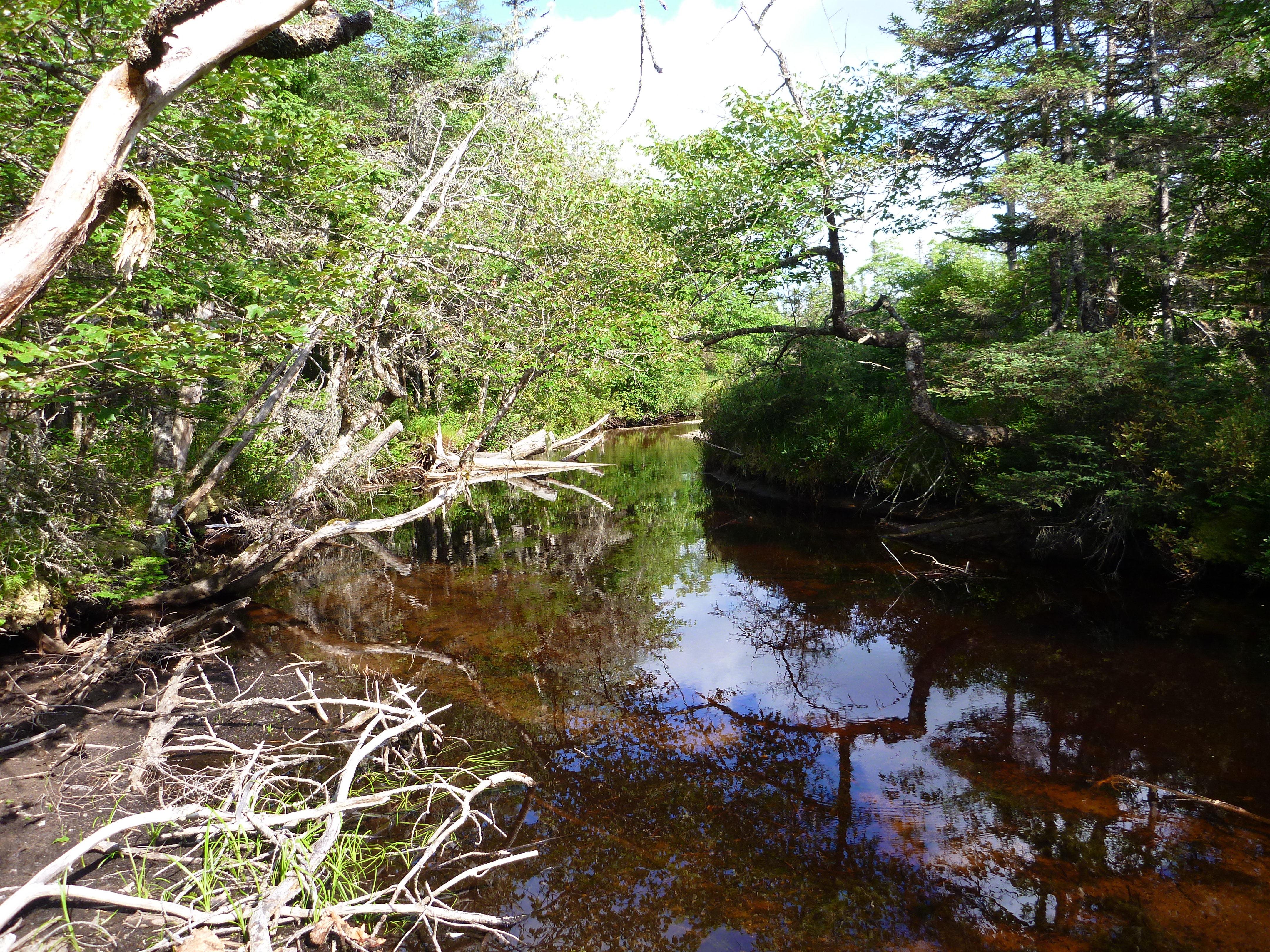
Bonnet Lake Brook
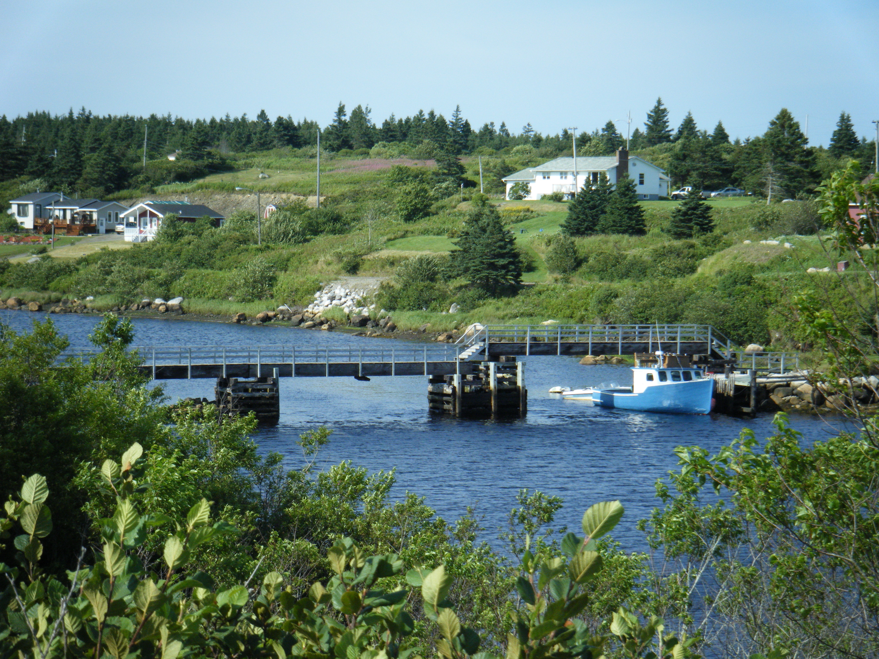
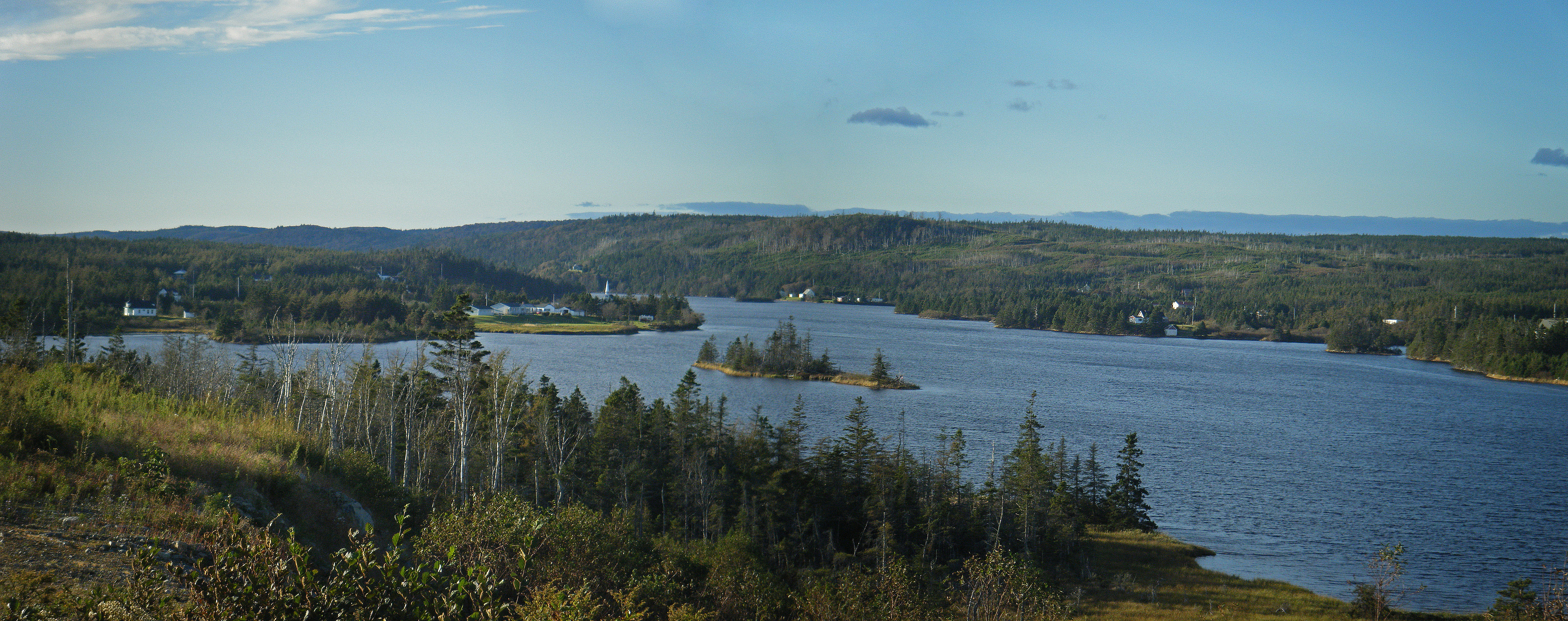
Larry's River Inlet
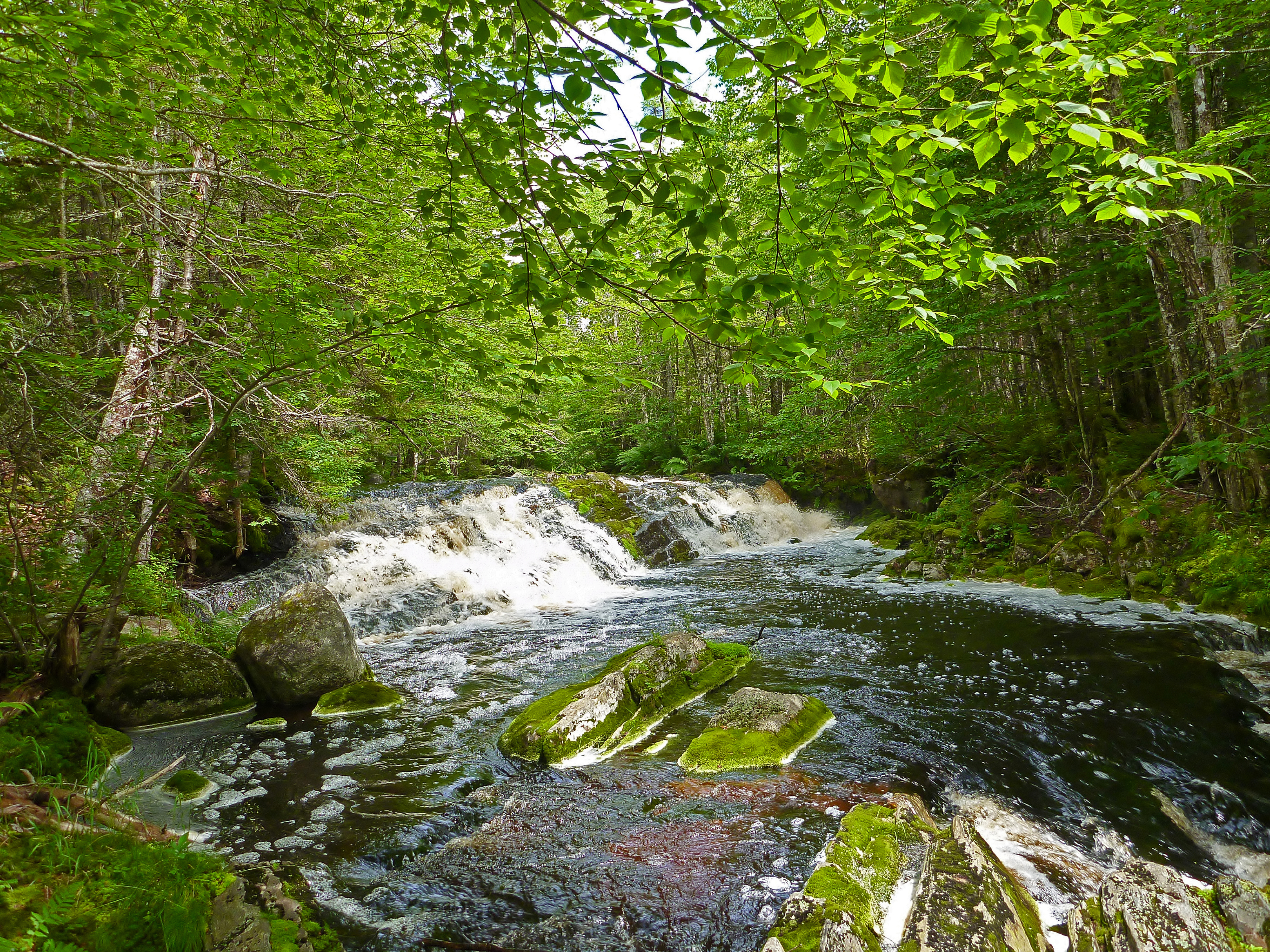
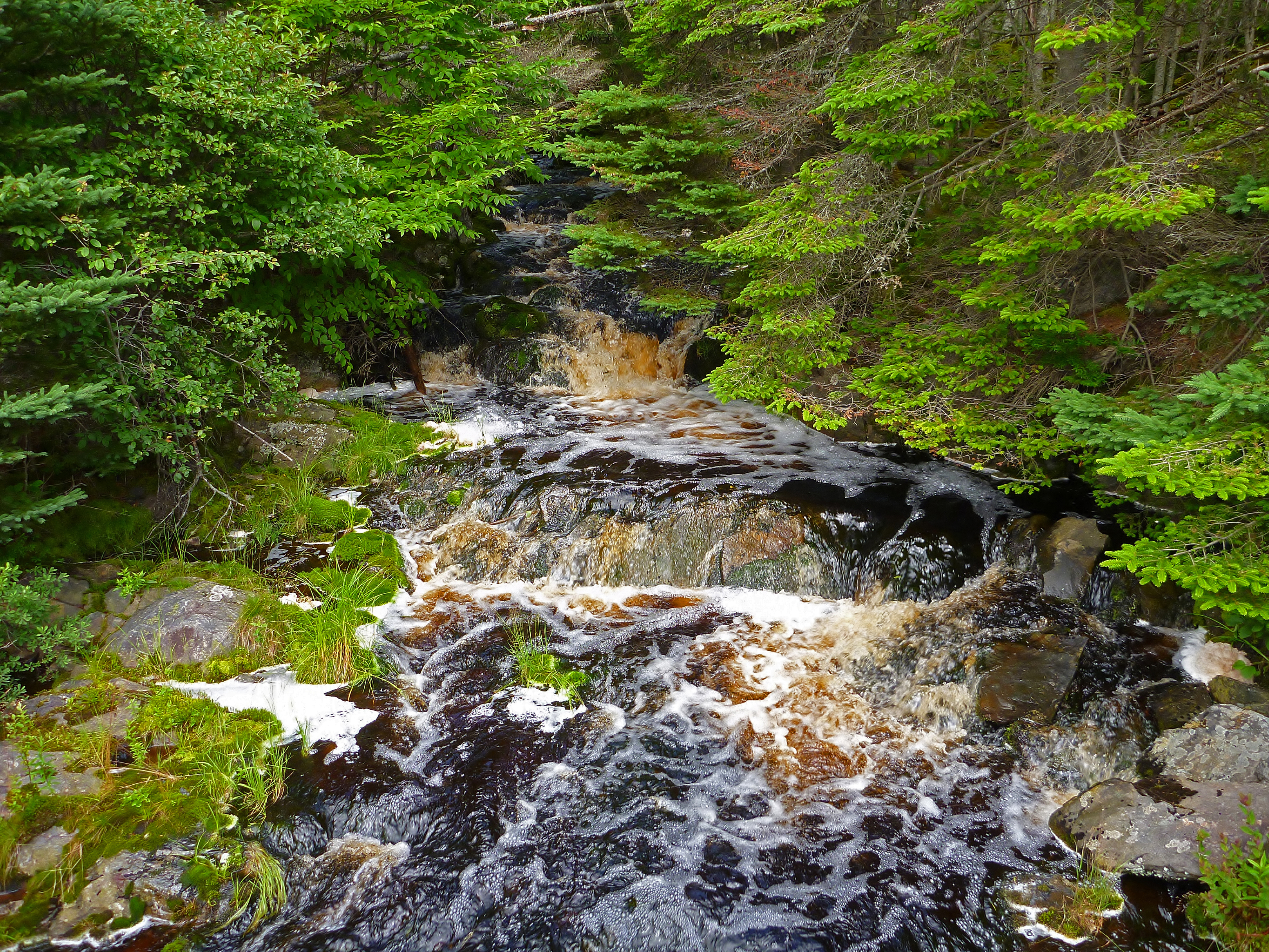
Ashley's Falls (summer)
Upper New Harbour (2)
Middle New Harbour
Henry Brook
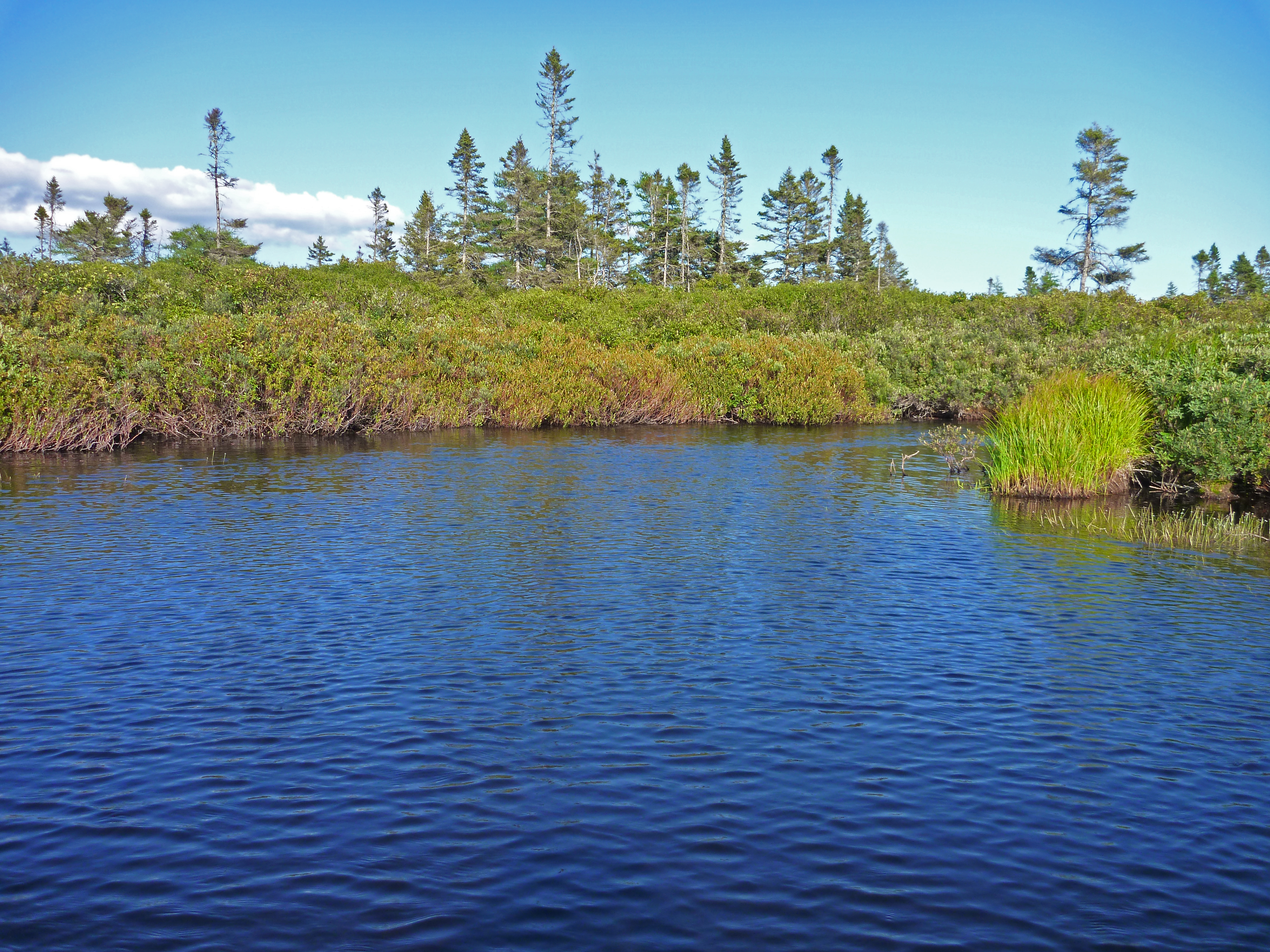
Barrens Brook
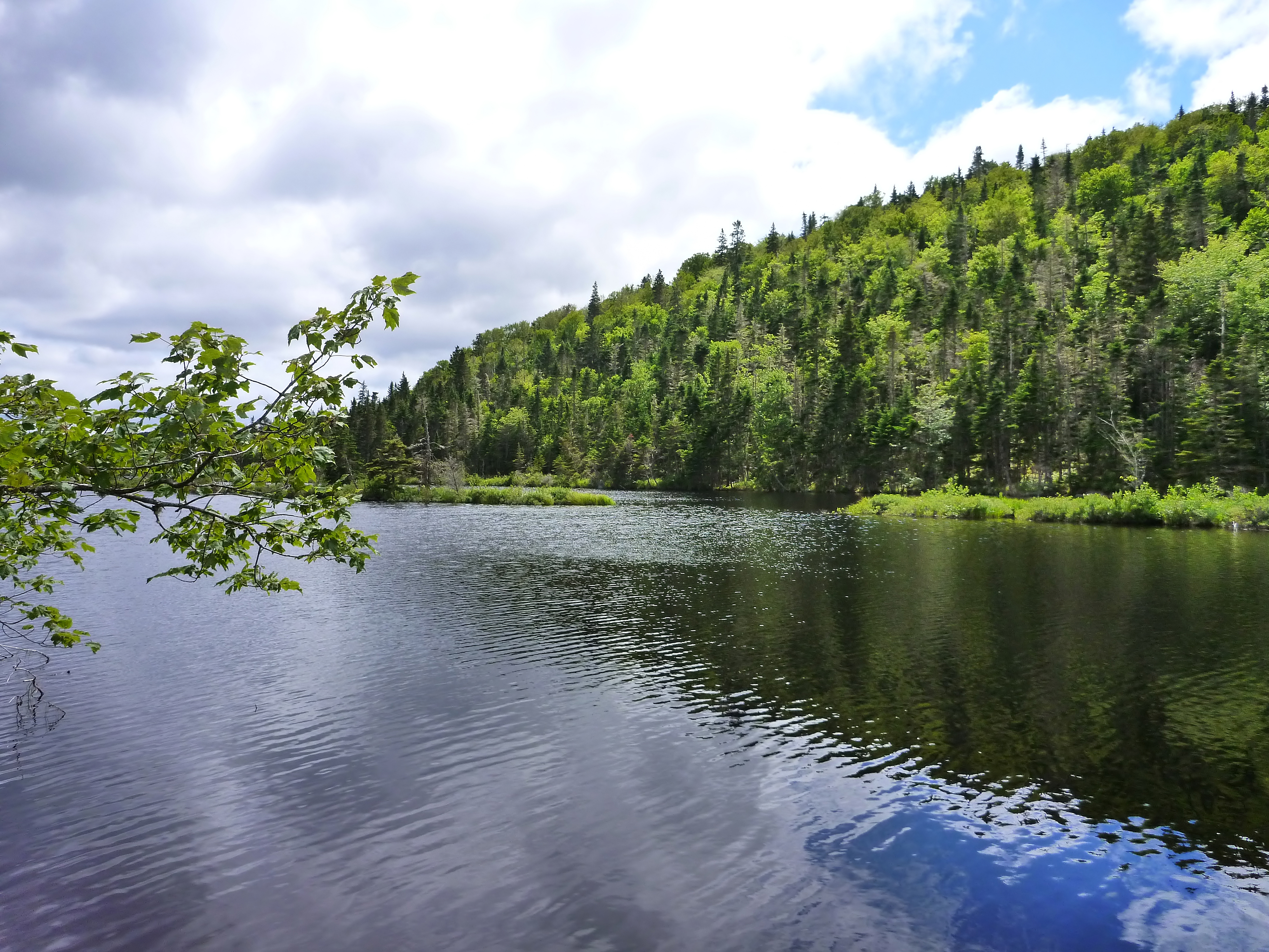
Elbow Lake Stills
everthing is turning red
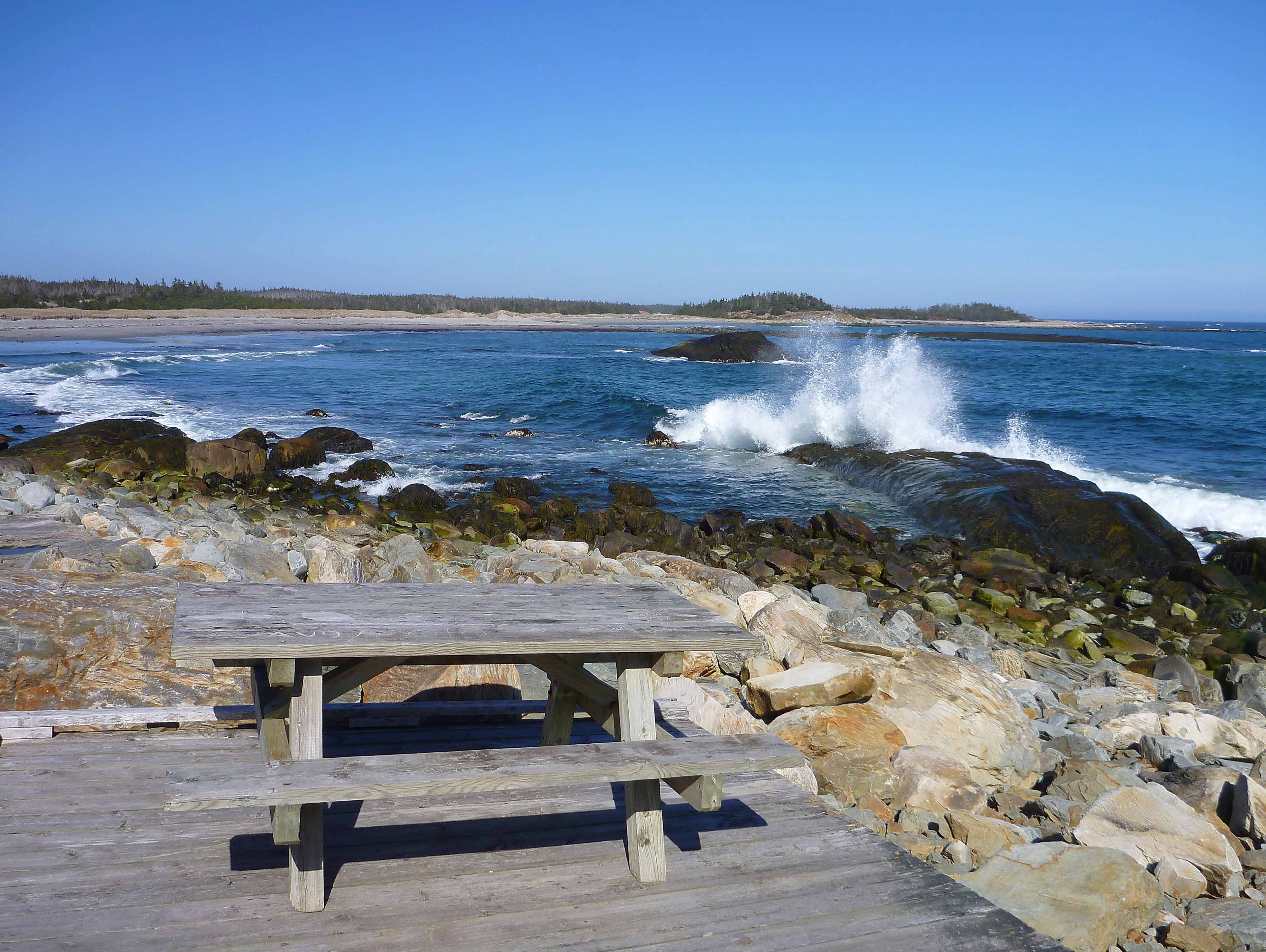
Tor Bay Park
Topographic Map of Larrys River, NS B0H, Canada
Find elevation by address:

Places in Larrys River, NS B0H, Canada:
Amos Gillies Rd, Larrys River, NS B0H 1T0, Canada
New Harbour Lundy Rd, Larrys River, NS B0H 1T0, Canada
Cole Harbour Rd, Larrys River, NS B0H 1T0, Canada
71 Deming Point Rd, Larrys River, NS B0H 1T0, Canada
Places near Larrys River, NS B0H, Canada:
B0h 1n0
New Harbour Lundy Rd, Larrys River, NS B0H 1T0, Canada
Cole Harbour Rd, Larrys River, NS B0H 1T0, Canada
2209 Larrys River Rd
Queensport
Amos Gillies Rd, Larrys River, NS B0H 1T0, Canada
NS-, Goldboro, NS B0H 1L0, Canada
Guysborough
Lower Water St, Guysborough, NS B0H 1N0, Canada
71 Deming Point Rd, Larrys River, NS B0H 1T0, Canada
Guysborough
239 Marshall Point Rd
Seal Harbour Rd, Goldboro, NS B0H 1L0, Canada
Seal Harbour
72 Point of the Clear Rd S, Goldboro, NS B0H 1L0, Canada
NS-, Boylston, NS B0H 1G0, Canada
66 Drum Head Rd, Goldboro, NS B0H 1L0, Canada
Boylston
Goldboro
42 Macmillan Hill Rd
Recent Searches:
- Elevation of 2800, Morehead Road, Withrow Downs, Charlotte, Mecklenburg County, North Carolina, 28262, USA
- Elevation of Yangbi Yi Autonomous County, Yunnan, China
- Elevation of Pingpo, Yangbi Yi Autonomous County, Yunnan, China
- Elevation of Mount Malong, Pingpo, Yangbi Yi Autonomous County, Yunnan, China
- Elevation map of Yongping County, Yunnan, China
- Elevation of North 8th Street, Palatka, Putnam County, Florida, 32177, USA
- Elevation of 107, Big Apple Road, East Palatka, Putnam County, Florida, 32131, USA
- Elevation of Jiezi, Chongzhou City, Sichuan, China
- Elevation of Chongzhou City, Sichuan, China
- Elevation of Huaiyuan, Chongzhou City, Sichuan, China
- Elevation of Qingxia, Chengdu, Sichuan, China
- Elevation of Corso Fratelli Cairoli, 35, Macerata MC, Italy
- Elevation of Tallevast Rd, Sarasota, FL, USA
- Elevation of 4th St E, Sonoma, CA, USA
- Elevation of Black Hollow Rd, Pennsdale, PA, USA
- Elevation of Oakland Ave, Williamsport, PA, USA
- Elevation of Pedrógão Grande, Portugal
- Elevation of Klee Dr, Martinsburg, WV, USA
- Elevation of Via Roma, Pieranica CR, Italy
- Elevation of Tavkvetili Mountain, Georgia