Elevation of Amos Gillies Rd, Larrys River, NS B0H 1T0, Canada
Location: Canada > Nova Scotia > Guysborough County > Guysborough > Larrys River >
Longitude: -61.54137
Latitude: 45.226399
Elevation: 2m / 7feet
Barometric Pressure: 101KPa
Elevation Map:
Satellite Map:
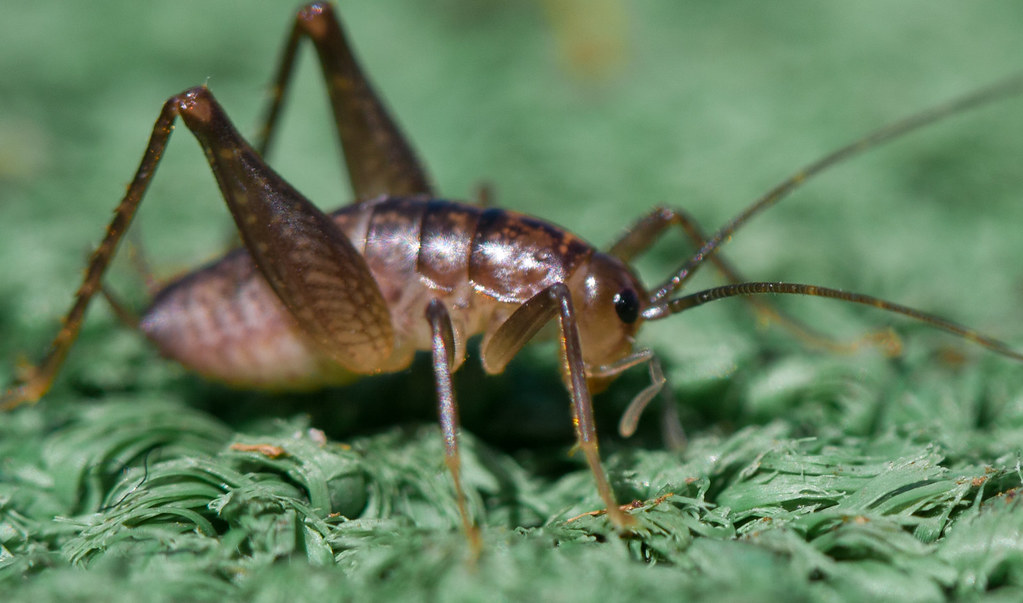
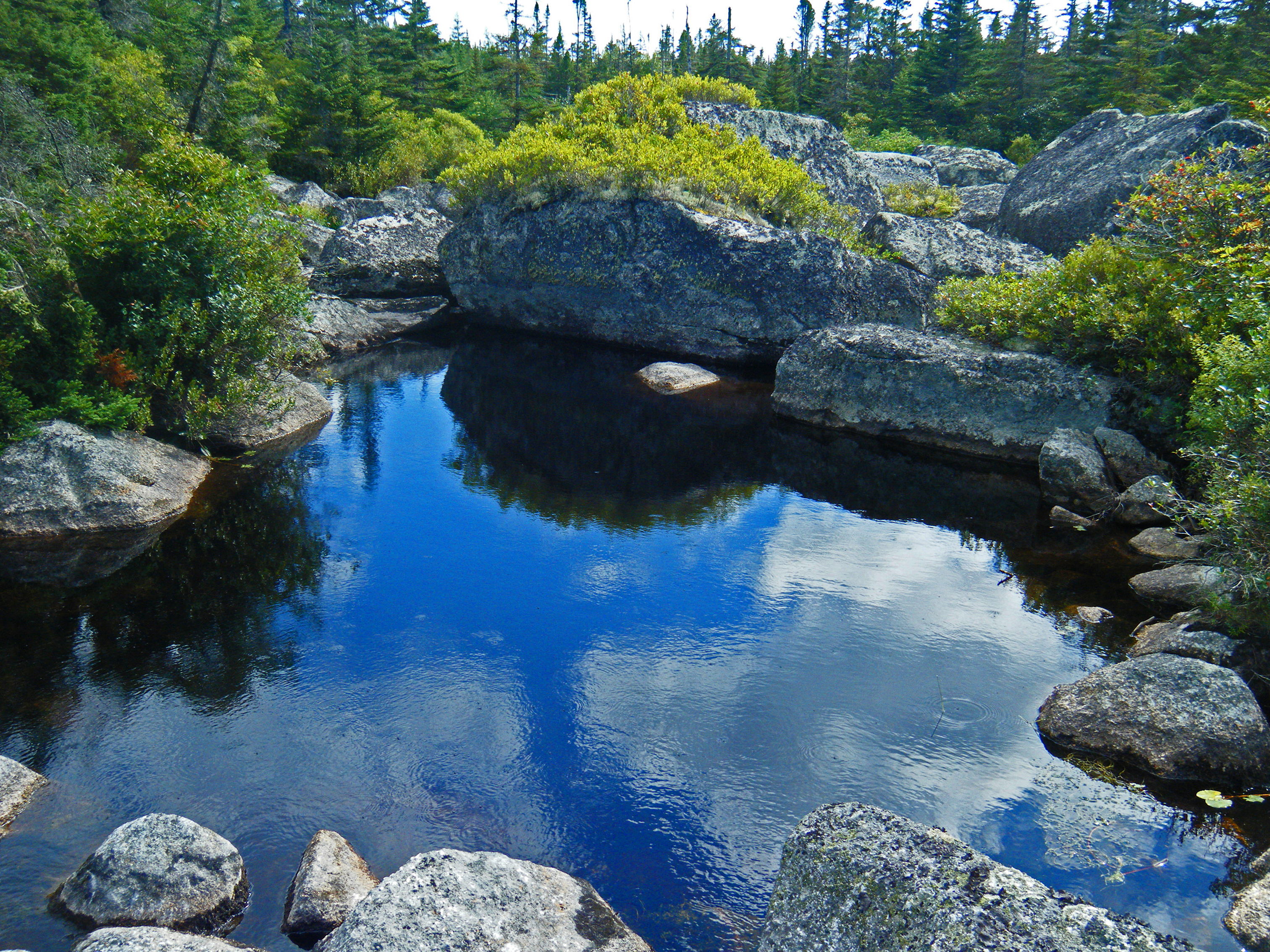
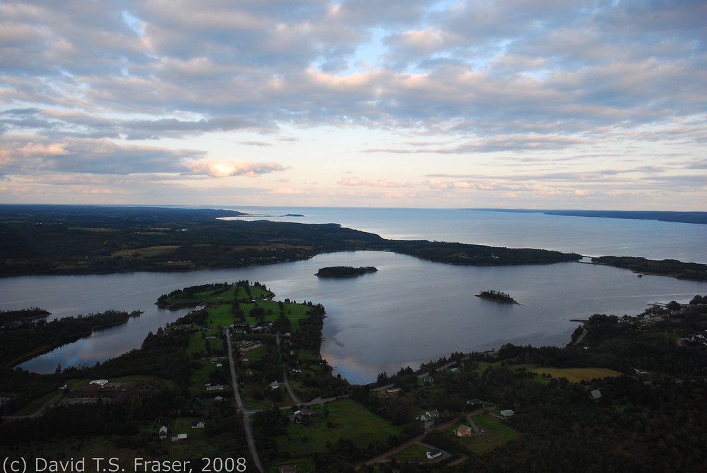
Related Photos:
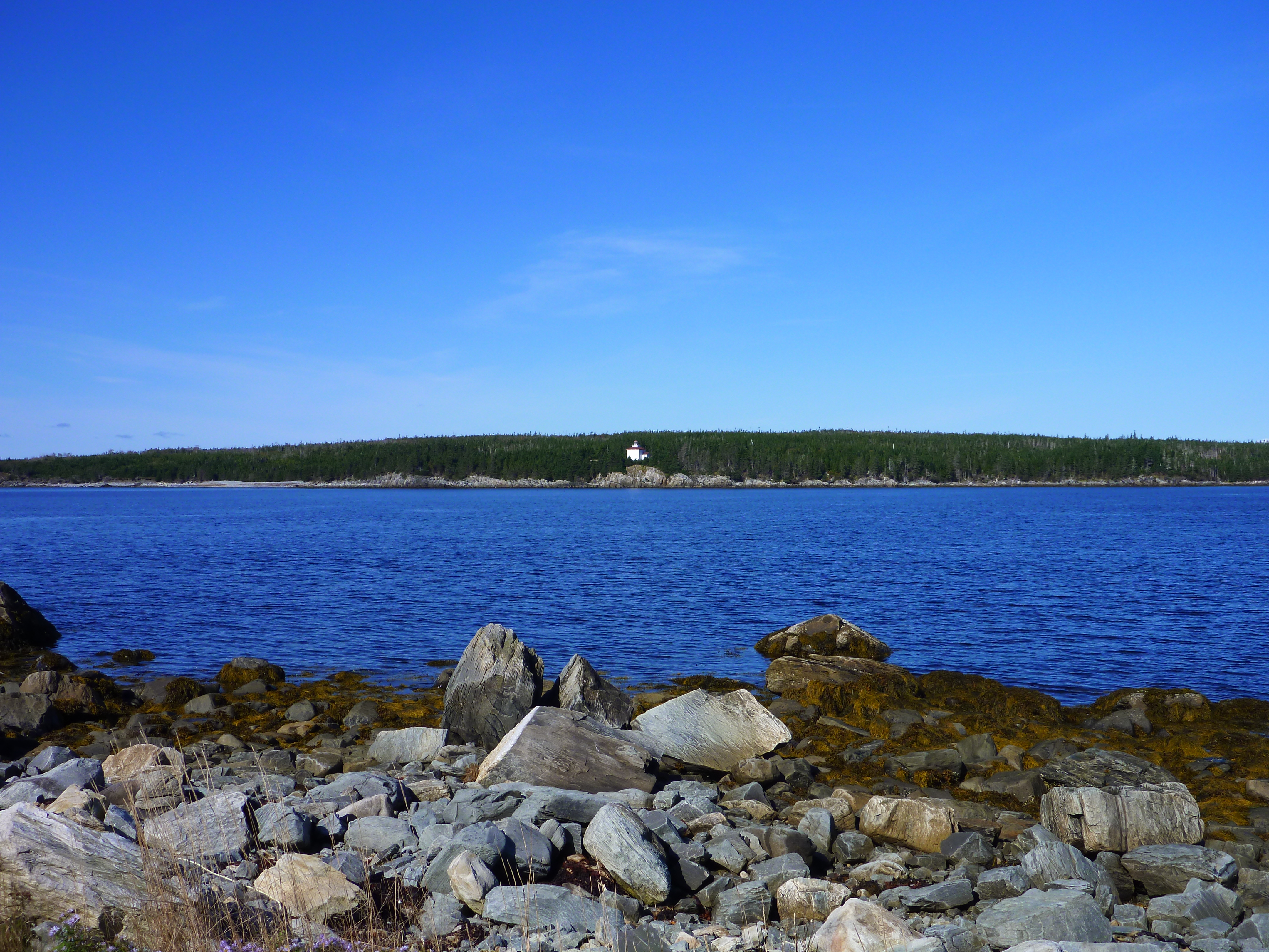
Lonely Lighthouse

Round Lake Beach, Larry's River
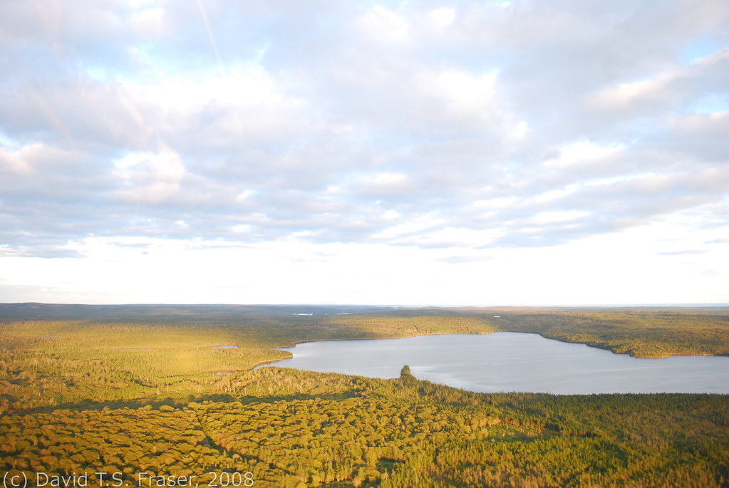
Golden trees from above
Country Harbour

Bonnet Lake Beach

Fall Colours on the Salmon River
New Harbour beach

Country Harbour
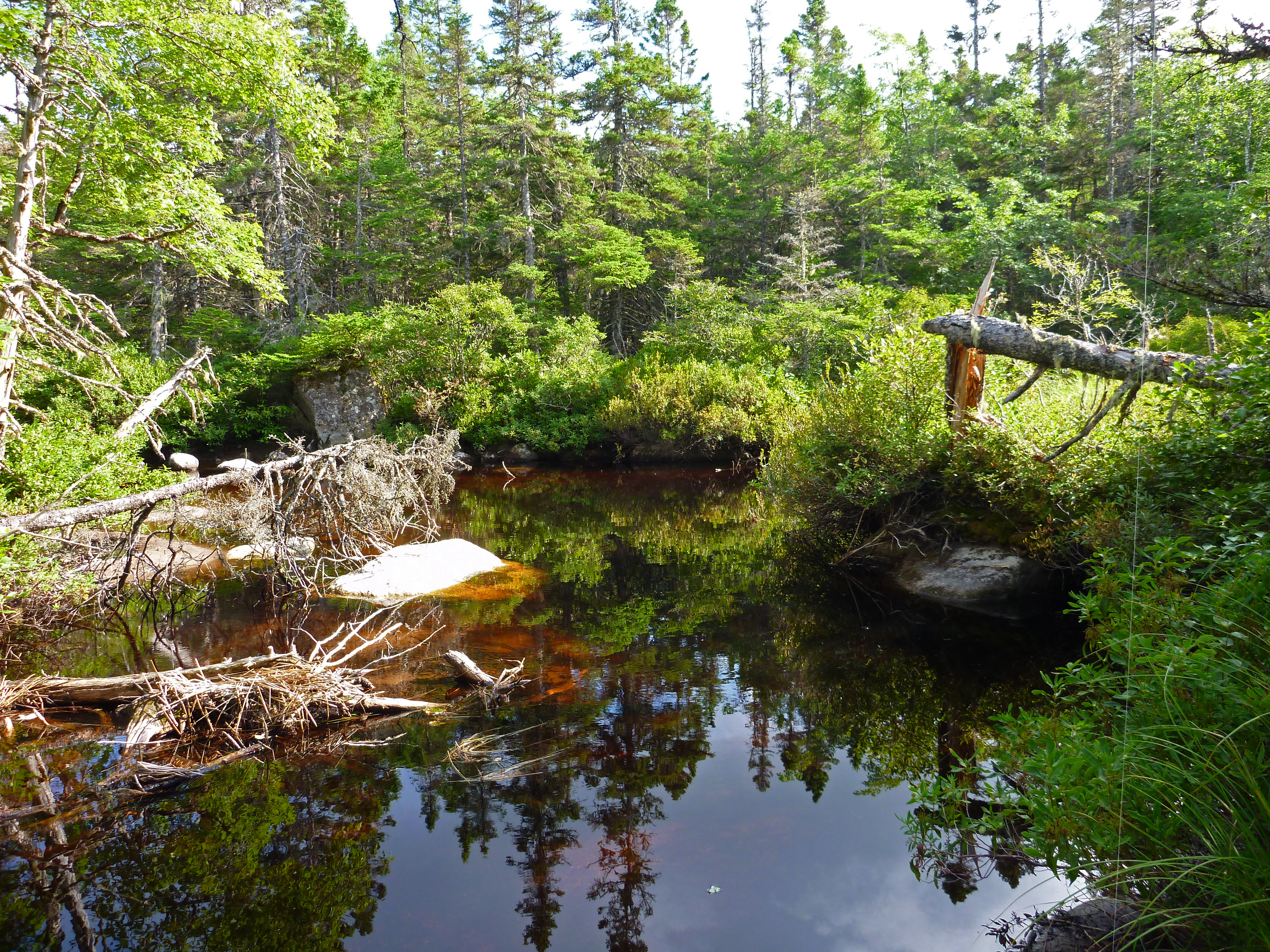
Bonnet Lake Brook
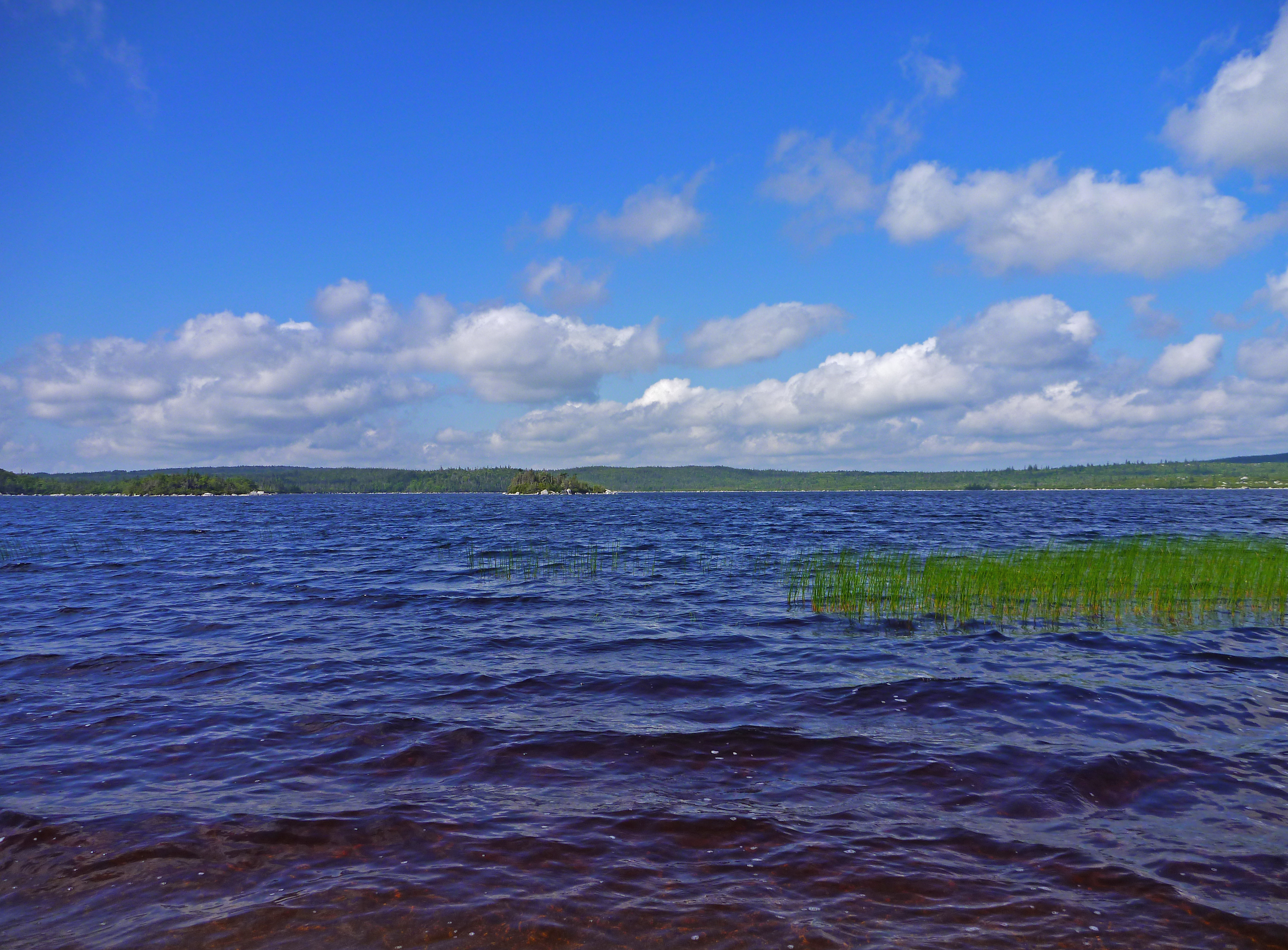
The 2 Islands and western shore from the beach
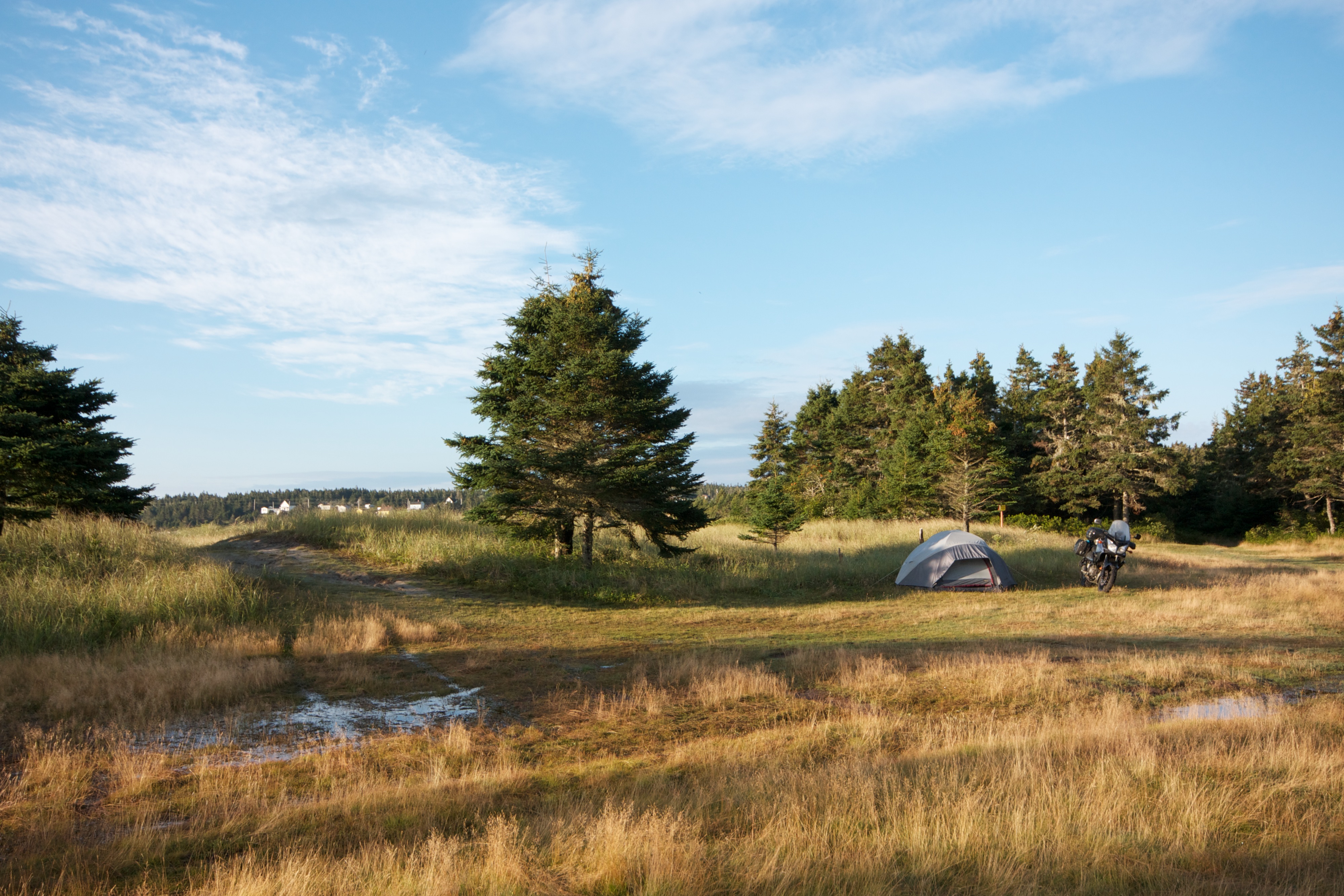
New Harbour campsite
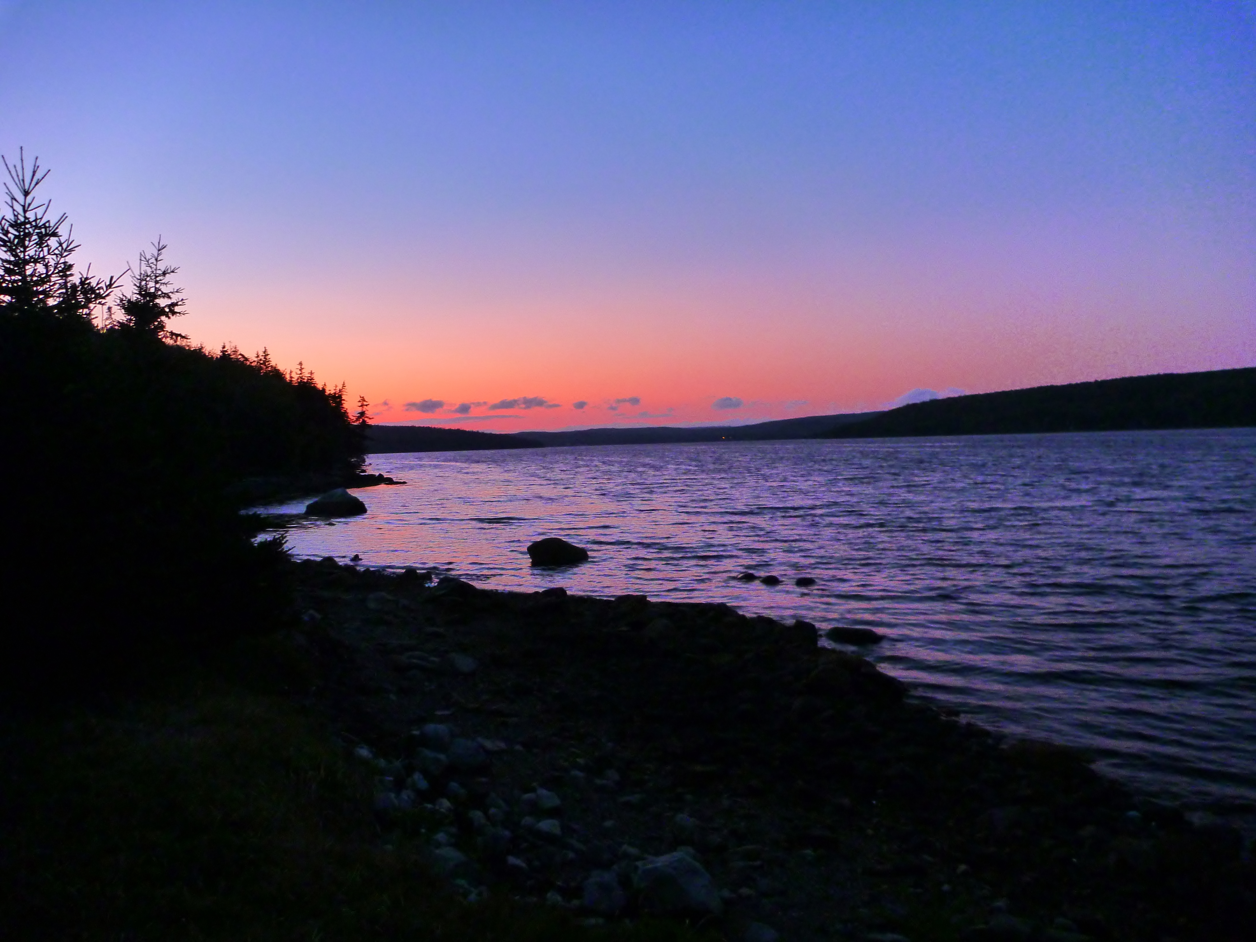
Sunset at Mount Misery
CI-416

Bonnet Lake 2

Tor Bay Park
Deep Hole in Eastern Brook
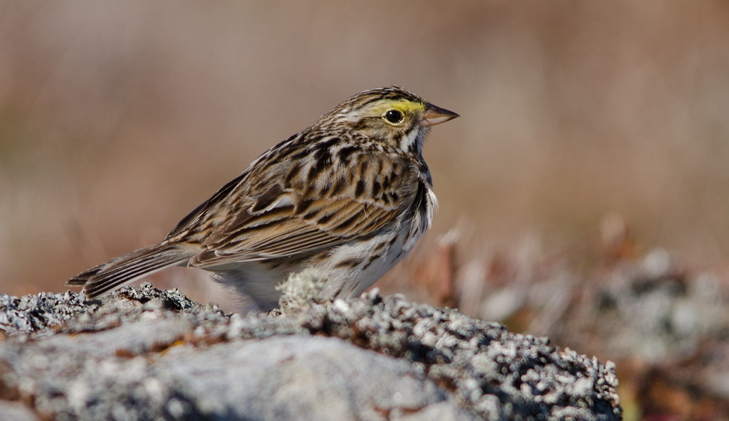
Savannah sparrow
Clouds over Chedabucto Bay and Village
New Harbour Barrens Stitched
Hermit thrush
Bonnet Lake Beach
Topographic Map of Amos Gillies Rd, Larrys River, NS B0H 1T0, Canada
Find elevation by address:

Places near Amos Gillies Rd, Larrys River, NS B0H 1T0, Canada:
New Harbour Lundy Rd, Larrys River, NS B0H 1T0, Canada
NS-, Goldboro, NS B0H 1L0, Canada
2209 Larrys River Rd
Seal Harbour Rd, Goldboro, NS B0H 1L0, Canada
Seal Harbour
72 Point of the Clear Rd S, Goldboro, NS B0H 1L0, Canada
66 Drum Head Rd, Goldboro, NS B0H 1L0, Canada
Goldboro
42 Macmillan Hill Rd
288 Isaacs Harbour Rd
B0h 1n0
Guysborough
Larrys River
Lower Water St, Guysborough, NS B0H 1N0, Canada
Guysborough
Country Harbour
Fishermans Harbour Rd, Fishermans Harbour, NS B0J 1M0, Canada
Fishermans Harbour
239 Marshall Point Rd
Boylston
Recent Searches:
- Elevation of Corso Fratelli Cairoli, 35, Macerata MC, Italy
- Elevation of Tallevast Rd, Sarasota, FL, USA
- Elevation of 4th St E, Sonoma, CA, USA
- Elevation of Black Hollow Rd, Pennsdale, PA, USA
- Elevation of Oakland Ave, Williamsport, PA, USA
- Elevation of Pedrógão Grande, Portugal
- Elevation of Klee Dr, Martinsburg, WV, USA
- Elevation of Via Roma, Pieranica CR, Italy
- Elevation of Tavkvetili Mountain, Georgia
- Elevation of Hartfords Bluff Cir, Mt Pleasant, SC, USA