Elevation of Cole Harbour Rd, Larrys River, NS B0H 1T0, Canada
Location: Canada > Nova Scotia > Guysborough County > Guysborough > Larrys River >
Longitude: -61.258327
Latitude: 45.2465339
Elevation: 1m / 3feet
Barometric Pressure: 101KPa
Elevation Map:
Satellite Map:
Related Photos:

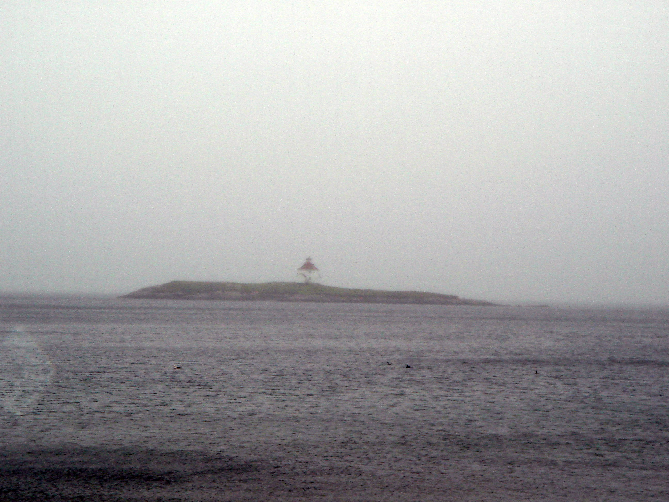
Queensport Lighthouse in Winter
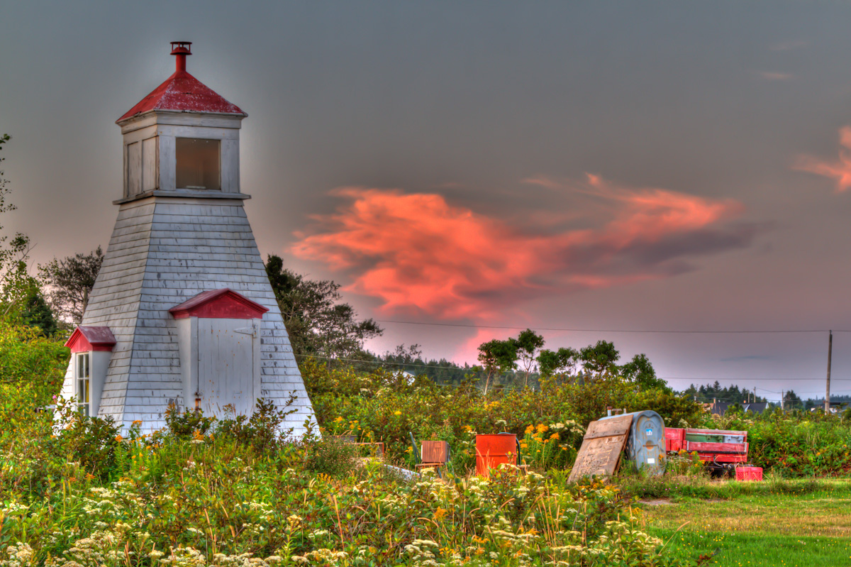
Queensport Lighthouse
Charlos Harbour Lighthouse
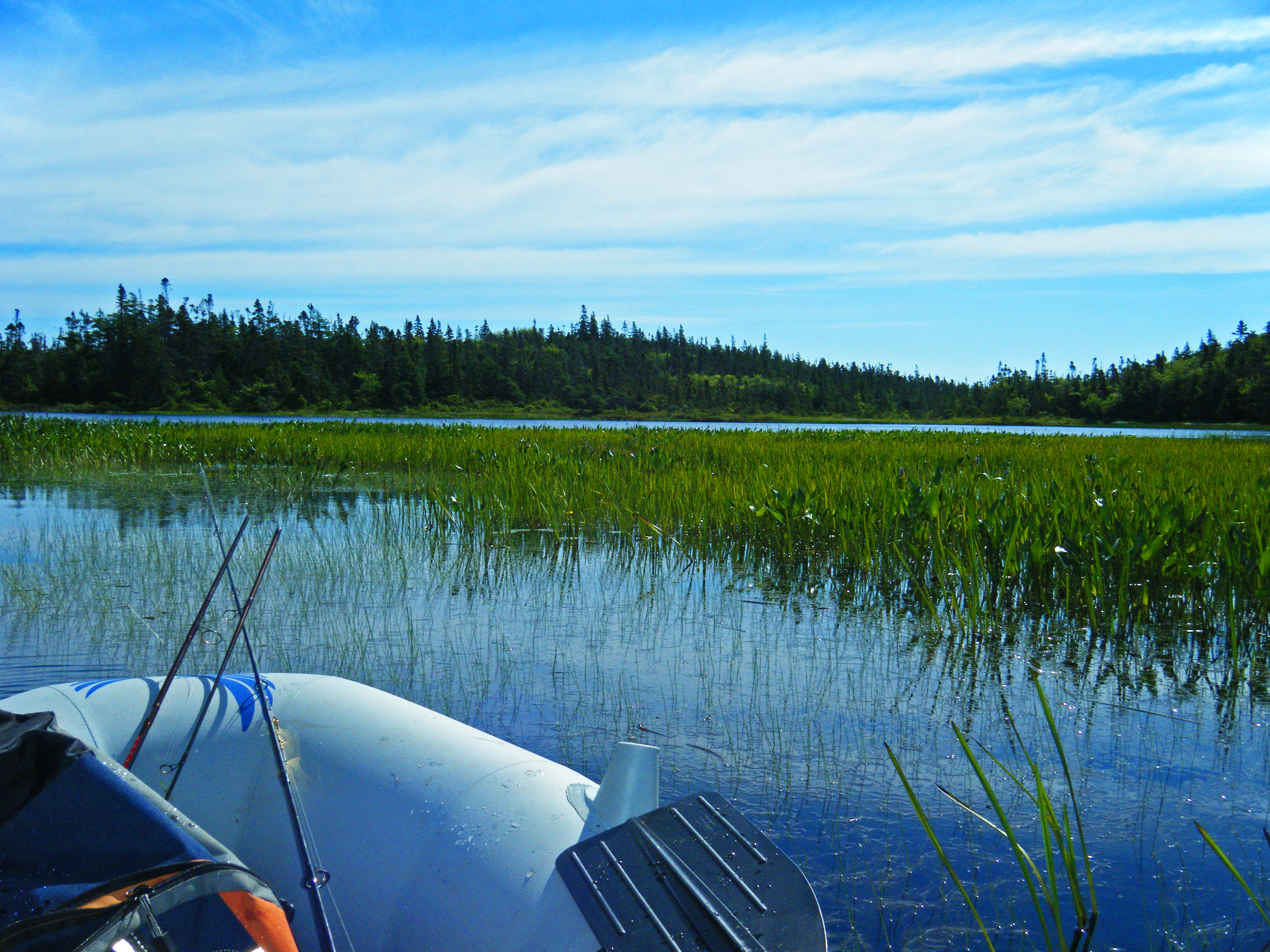
Cooeycoff Lake Stills

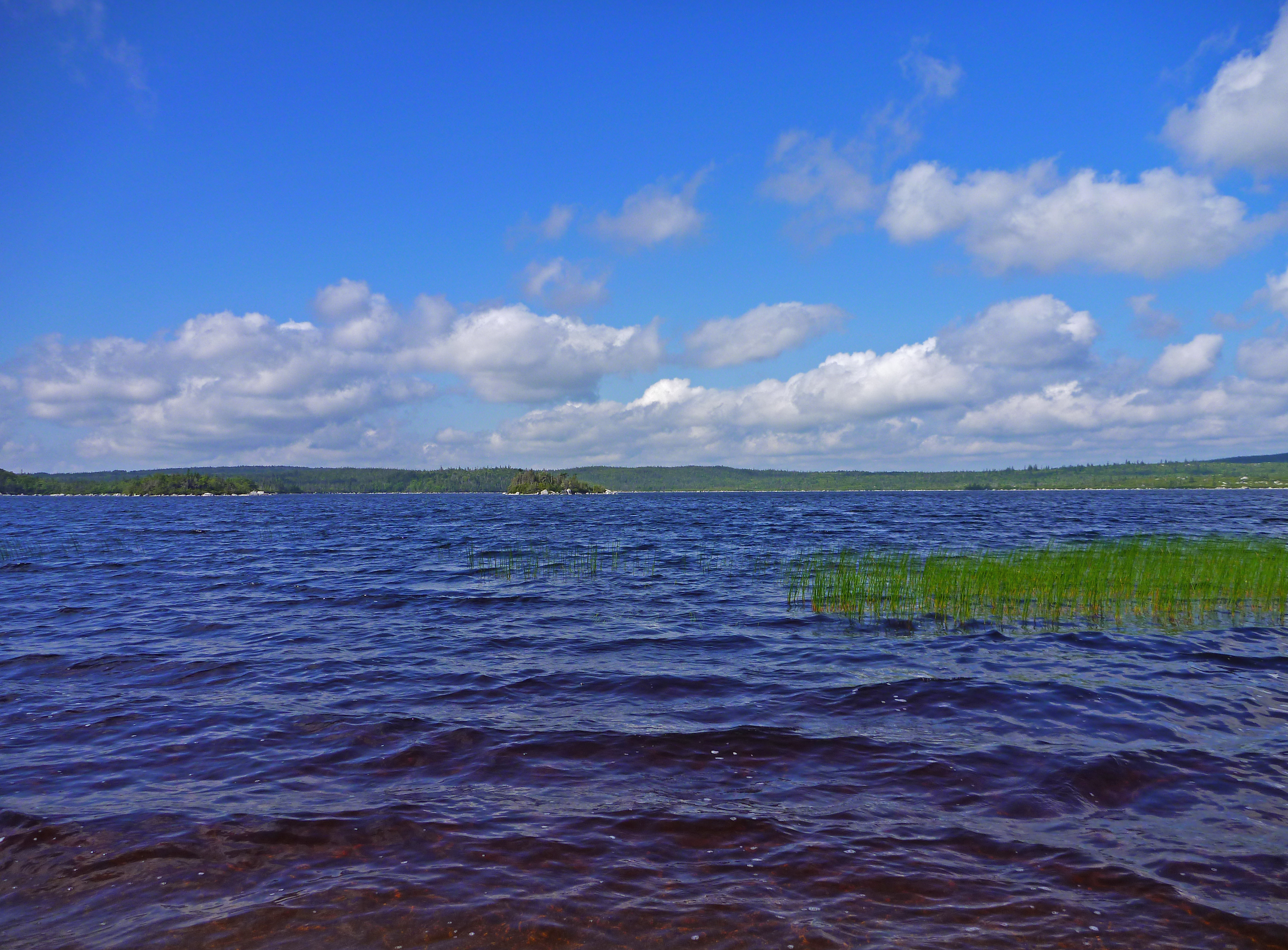
Round Lake Beach, Larry's River

Bonnet Lake Beach
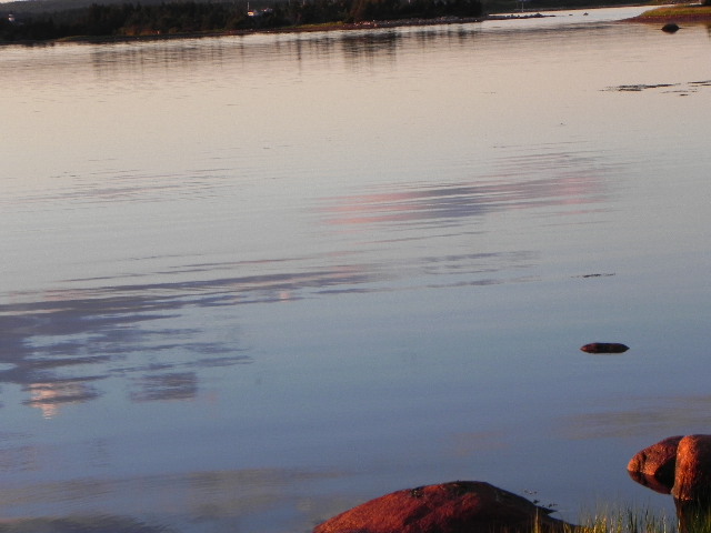
Reflections of the Storm
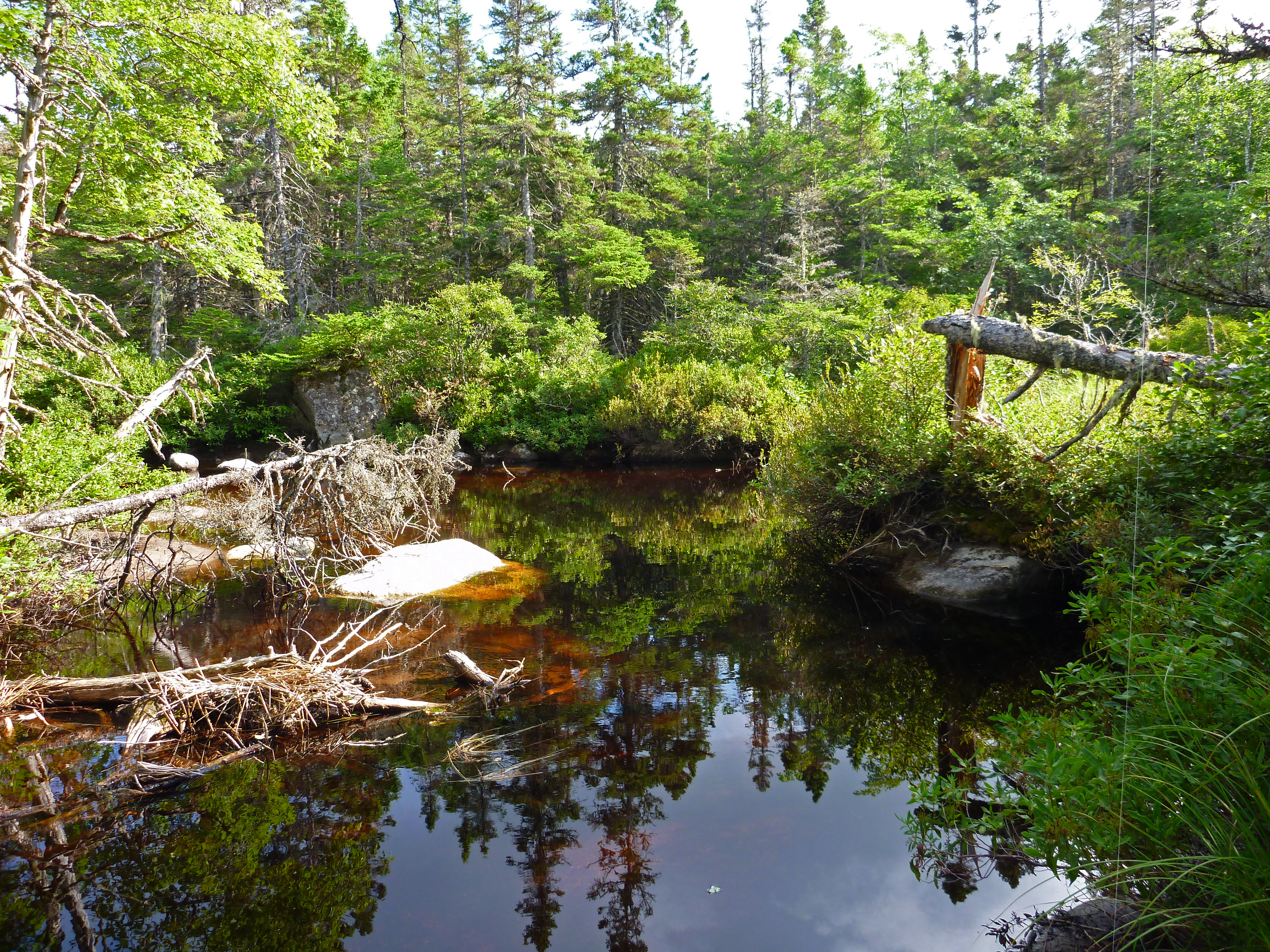
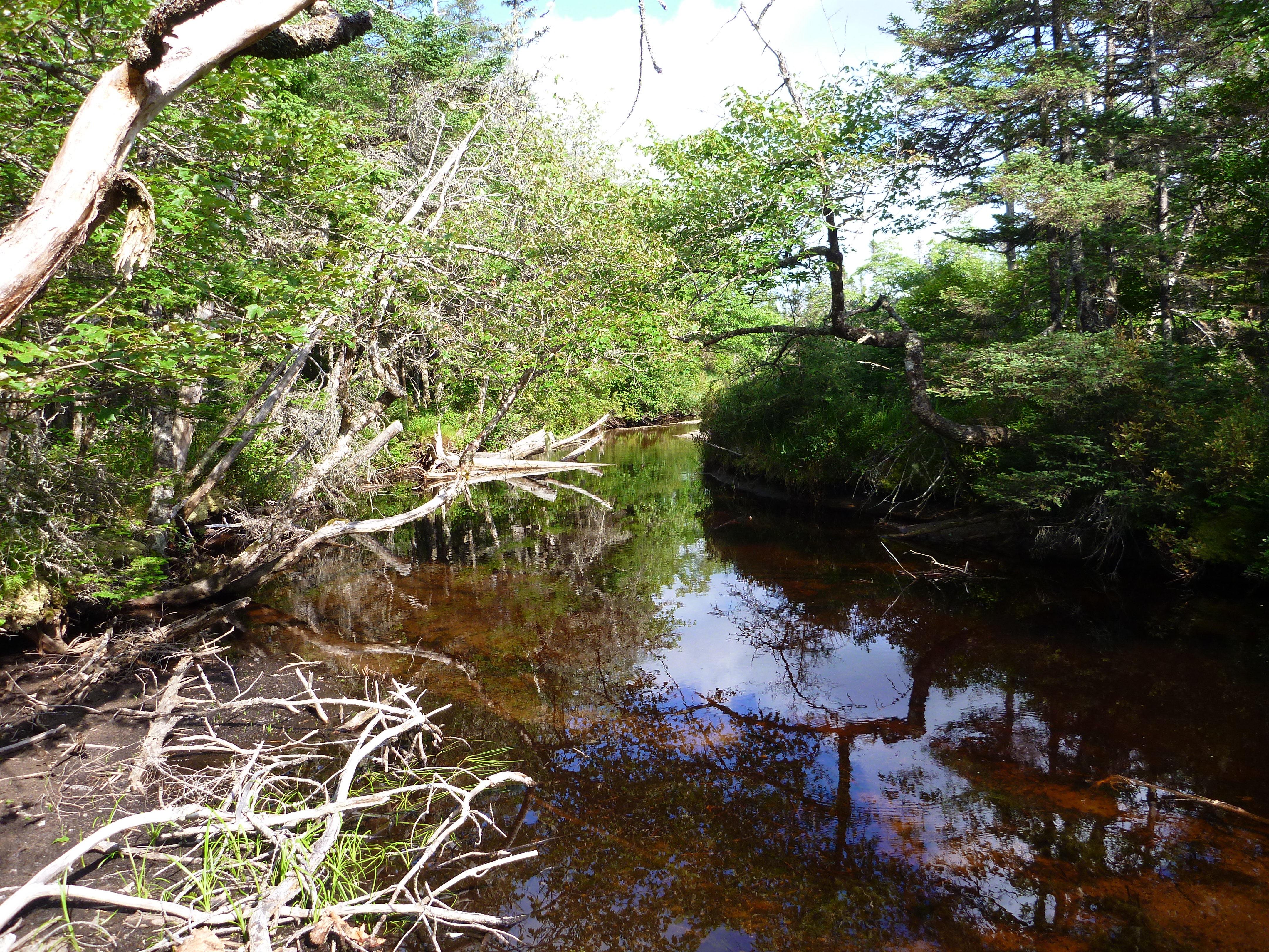
Bonnet Lake Brook
The 2 Islands and western shore from the beach

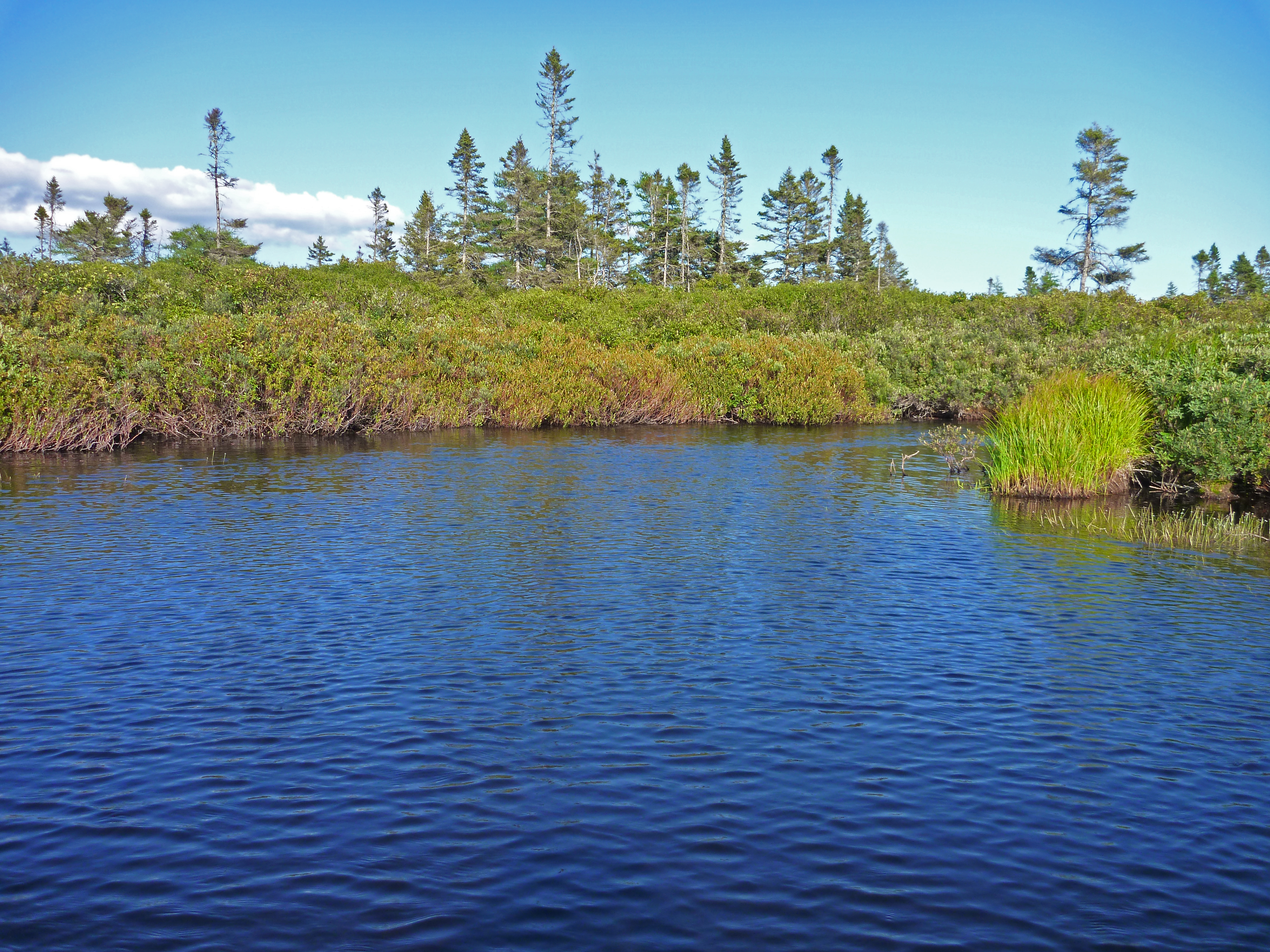
Bonnet Lake 2
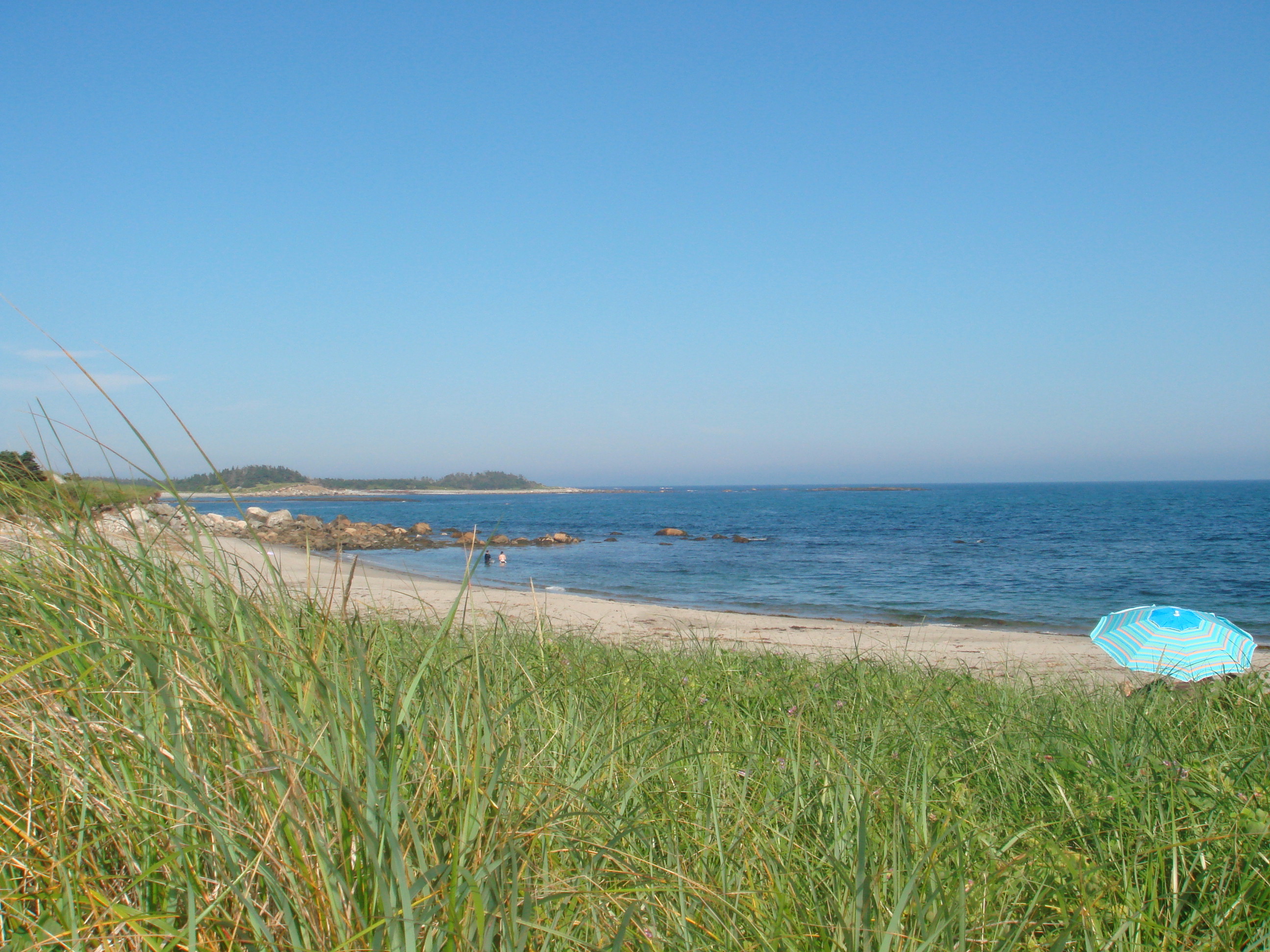
Tor Bay Beach

Tor Bay Park
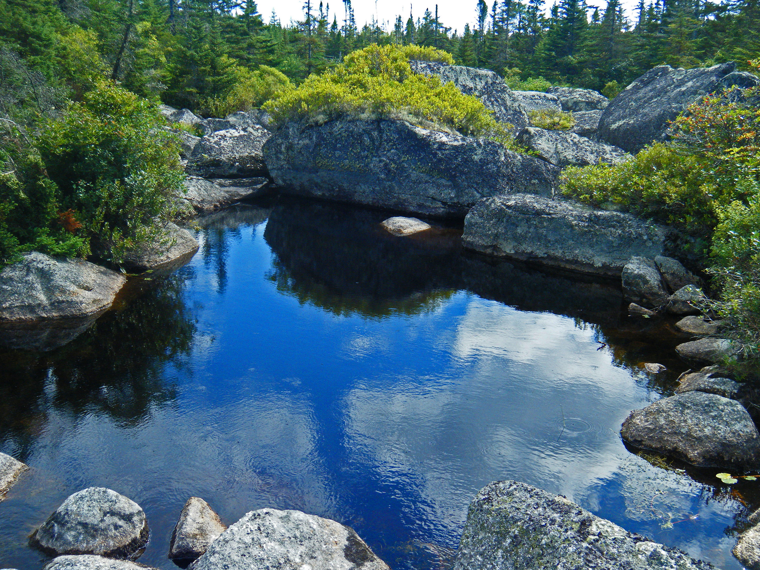
Deep Hole in Eastern Brook
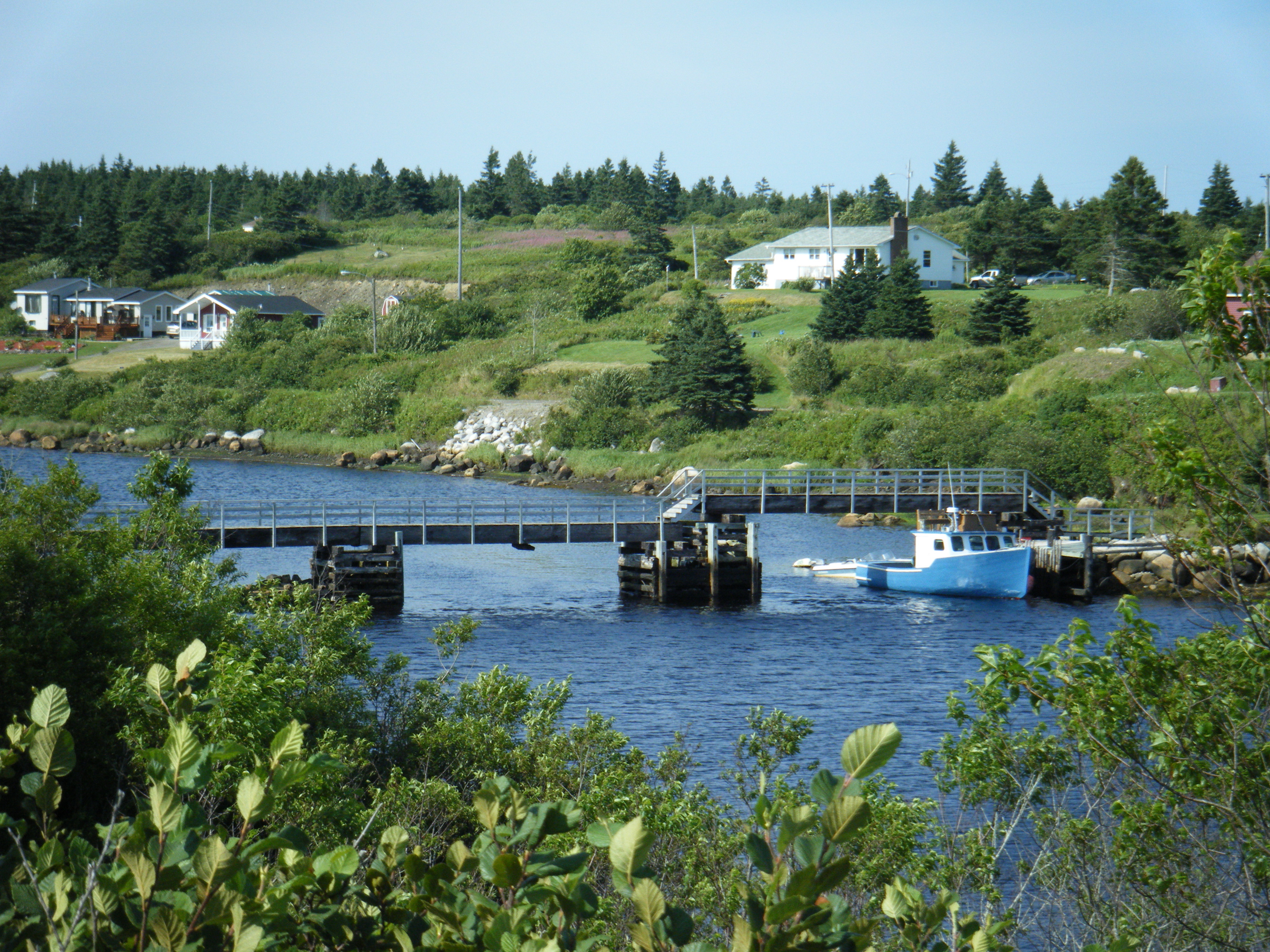
Fishing Village as the Storm Hit
New Harbour Barrens Stitched
Cooeycoff Lake Falls
Bonnet Lake Beach
Bonnet Lake Brook
Sand Lake Stills (Below the Falls)
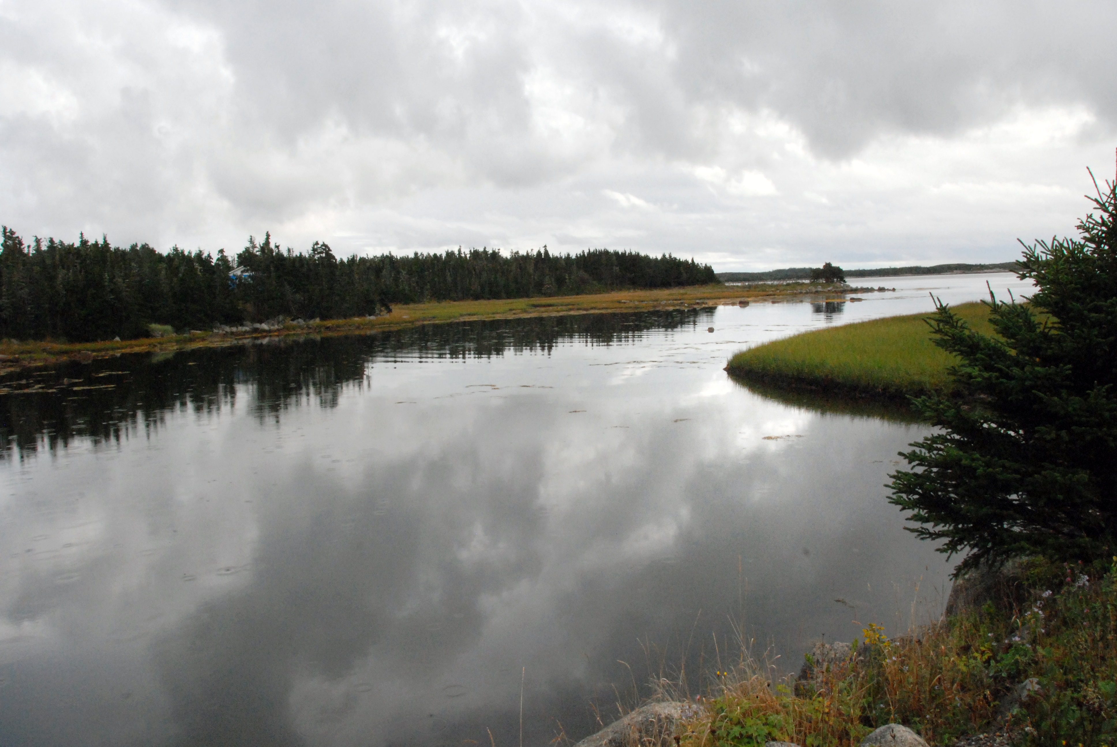
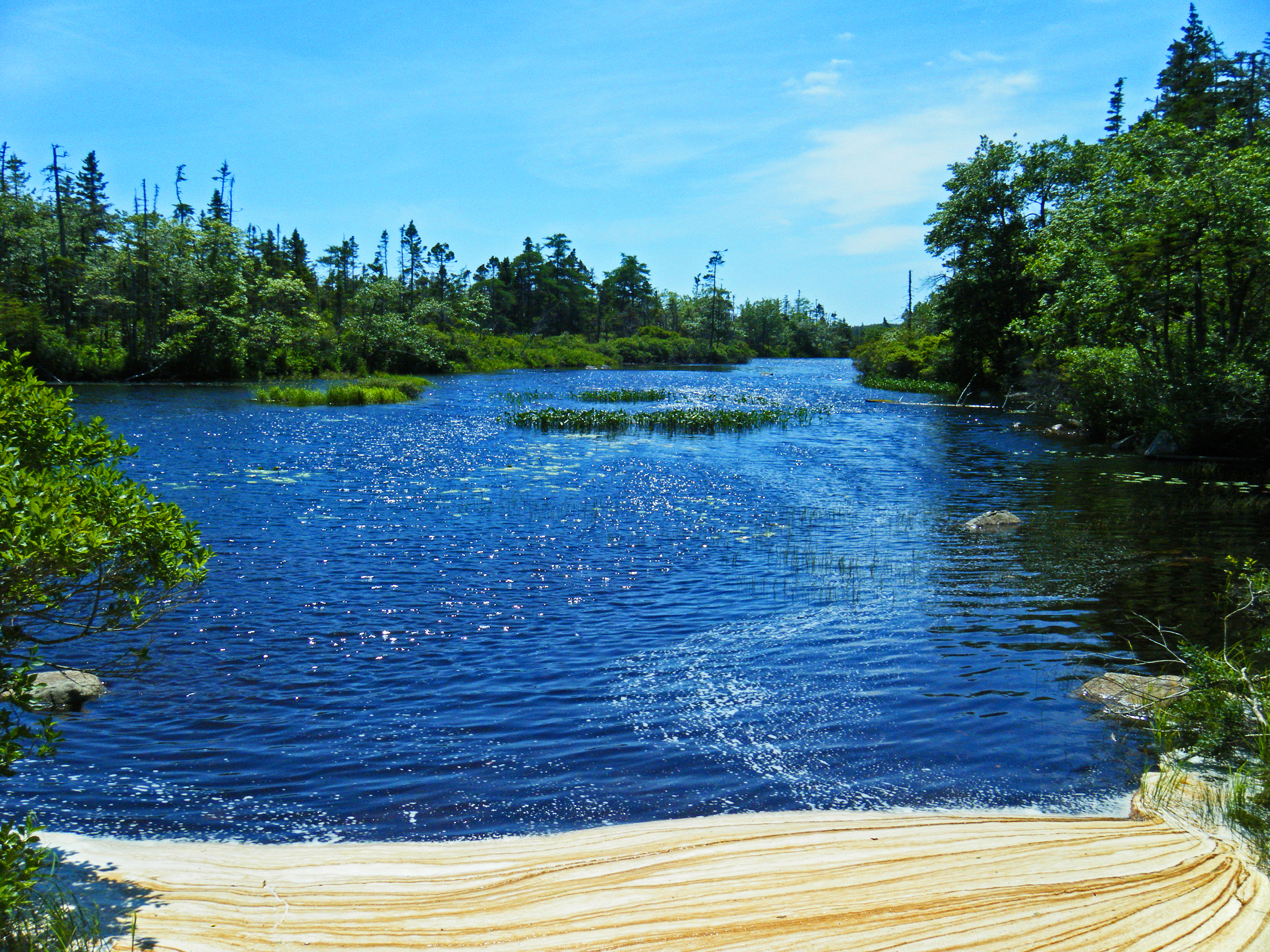
Larry's River Inlet
Elbow Lake Stills
everthing is turning red
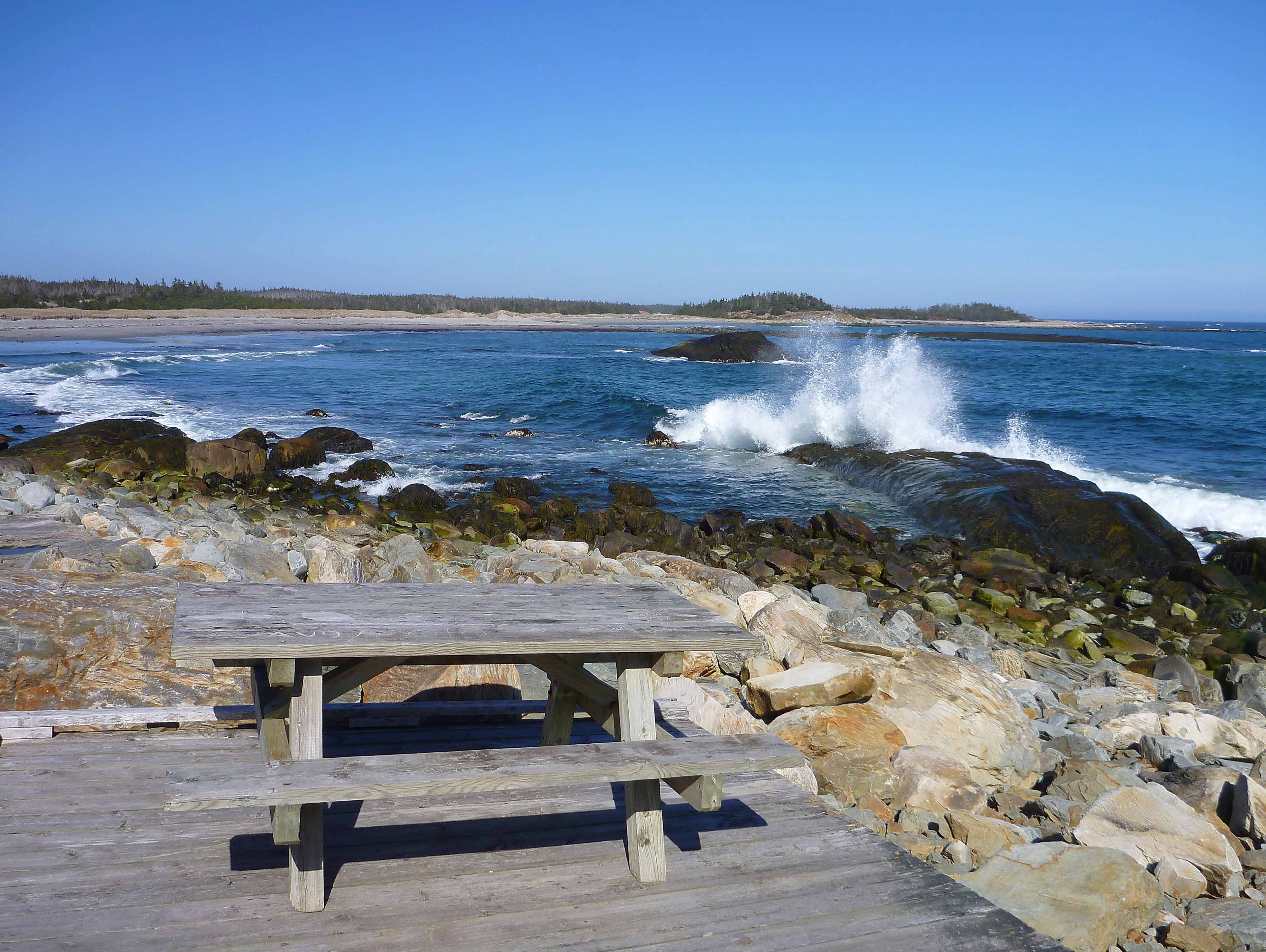
Tor Bay Park
Topographic Map of Cole Harbour Rd, Larrys River, NS B0H 1T0, Canada
Find elevation by address:

Places near Cole Harbour Rd, Larrys River, NS B0H 1T0, Canada:
71 Deming Point Rd, Larrys River, NS B0H 1T0, Canada
Queensport
Larrys River
B0h 1n0
NS-, Boylston, NS B0H 1G0, Canada
Dover Rd, Little Dover, NS B0H 1V0, Canada
2209 Larrys River Rd
New Harbour Lundy Rd, Larrys River, NS B0H 1T0, Canada
Guysborough
NS-, Mulgrave, NS B0E 2G0, Canada
239 Marshall Point Rd
Lower Water St, Guysborough, NS B0H 1N0, Canada
1309 Union St
Canso
Guysborough
Amos Gillies Rd, Larrys River, NS B0H 1T0, Canada
Union St, Canso, NS B0H 1H0, Canada
Union St, Canso, NS B0H 1H0, Canada
Piscatiqui Island
NS-, Goldboro, NS B0H 1L0, Canada
Recent Searches:
- Elevation of Corso Fratelli Cairoli, 35, Macerata MC, Italy
- Elevation of Tallevast Rd, Sarasota, FL, USA
- Elevation of 4th St E, Sonoma, CA, USA
- Elevation of Black Hollow Rd, Pennsdale, PA, USA
- Elevation of Oakland Ave, Williamsport, PA, USA
- Elevation of Pedrógão Grande, Portugal
- Elevation of Klee Dr, Martinsburg, WV, USA
- Elevation of Via Roma, Pieranica CR, Italy
- Elevation of Tavkvetili Mountain, Georgia
- Elevation of Hartfords Bluff Cir, Mt Pleasant, SC, USA